Vous devez activer Javascript pour pouvoir afficher correctement cette page !
Accueil / Recherche
|
Les photos en France
|
Les photos des autres pays
|
Envoyer vos photos
|
Le TOP 20
Conditions d'utilisation
|
Google Maps
|
Formulaire de contact
|
Nouvelles photos ajoutées
|
Newsletter
Publicité :
Nombre de photo(s) :
26
Lancer le
diaporama
Pays :
France
Département :
Bouches-du-Rhône (13)
Lieu :
La Ciotat
Coord. GPS :
43 10 37 N 05 36 31 E
Photographe :
Alexandre Roux
Prise le :
04/10/2009
Vue 3513 fois (
0.69 fois/jour
)
Affiner la recherche
-
Situer sur la carte
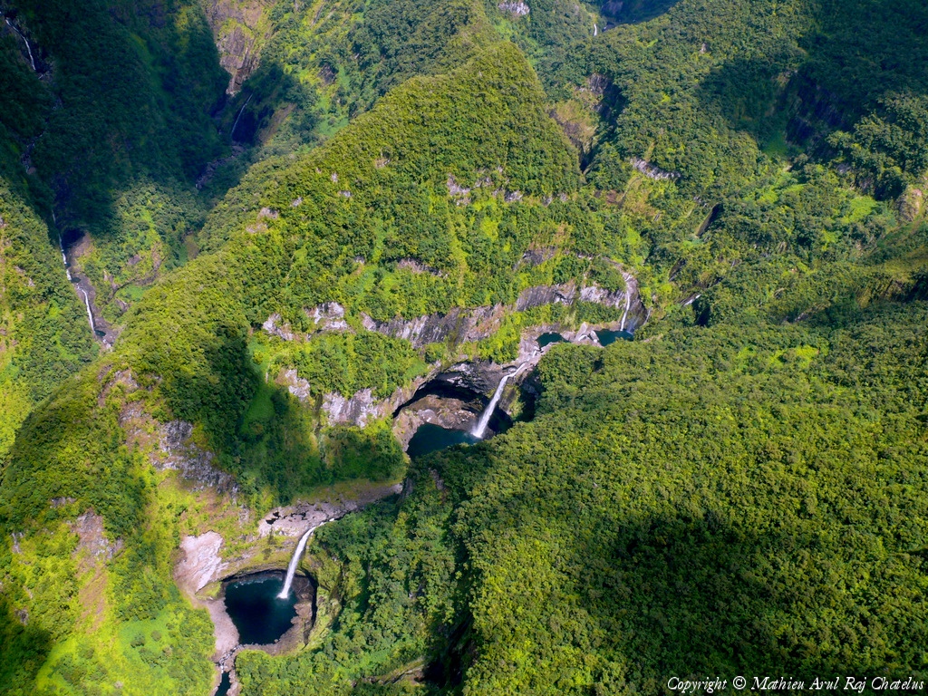
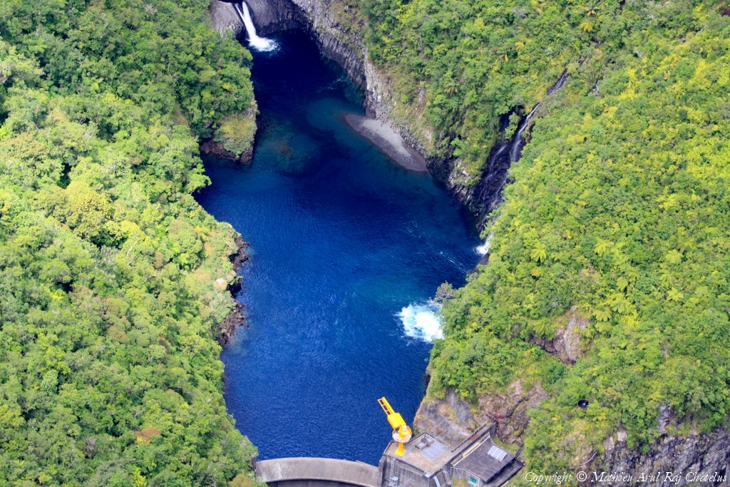
Pays :
France
Département :
La Réunion (974)
Lieu :
Trou de Fer
Coord. GPS :
21 02 24 S 55 33 23 E
Photographe :
Mathieu Arc
Prise le :
04/10/2009
Vue 3192 fois (
0.60 fois/jour
)
Affiner la recherche
-
Situer sur la carte
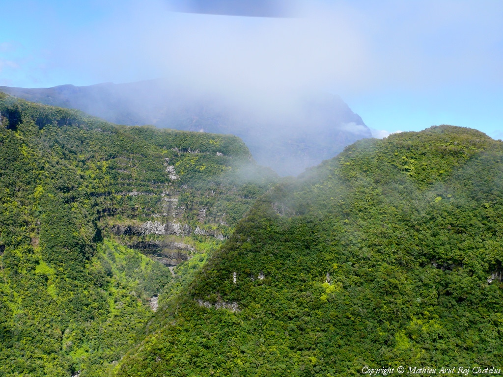
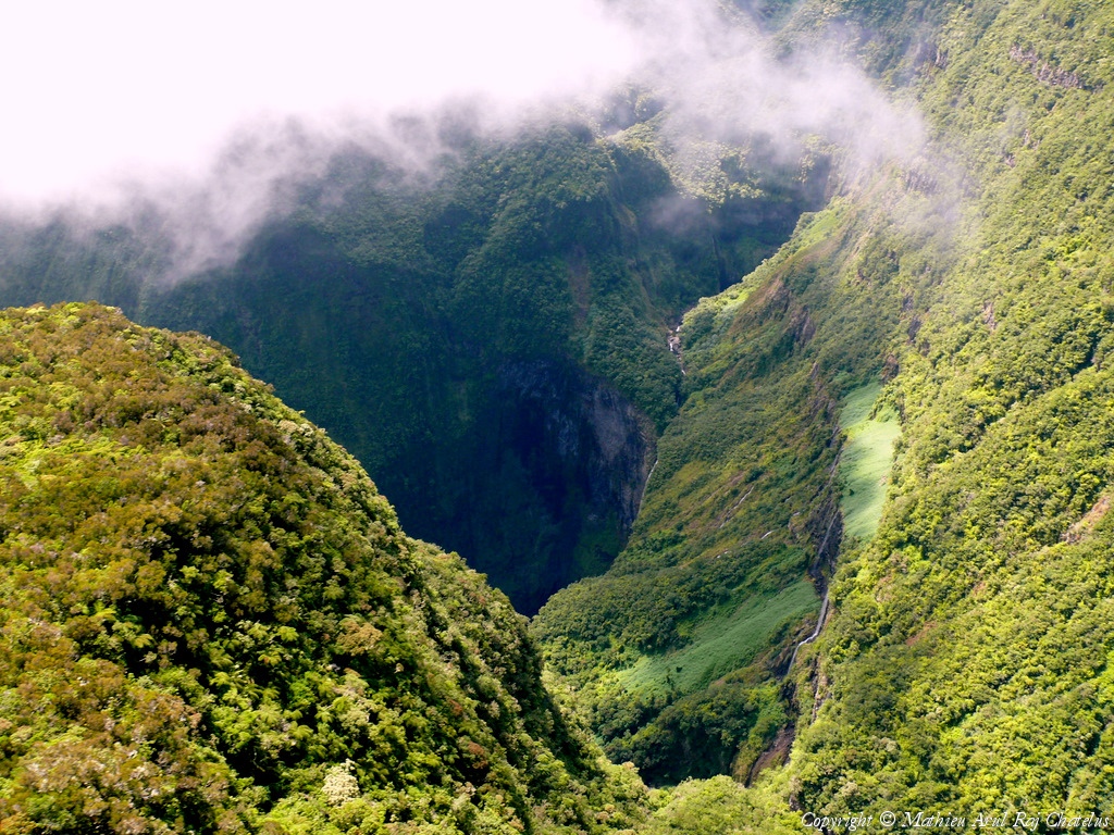
Pays :
France
Département :
La Réunion (974)
Lieu :
Trou de Fer
Coord. GPS :
21 02 24 S 55 33 23 E
Photographe :
Mathieu Arc
Prise le :
04/10/2009
Vue 3150 fois (
0.60 fois/jour
)
Affiner la recherche
-
Situer sur la carte
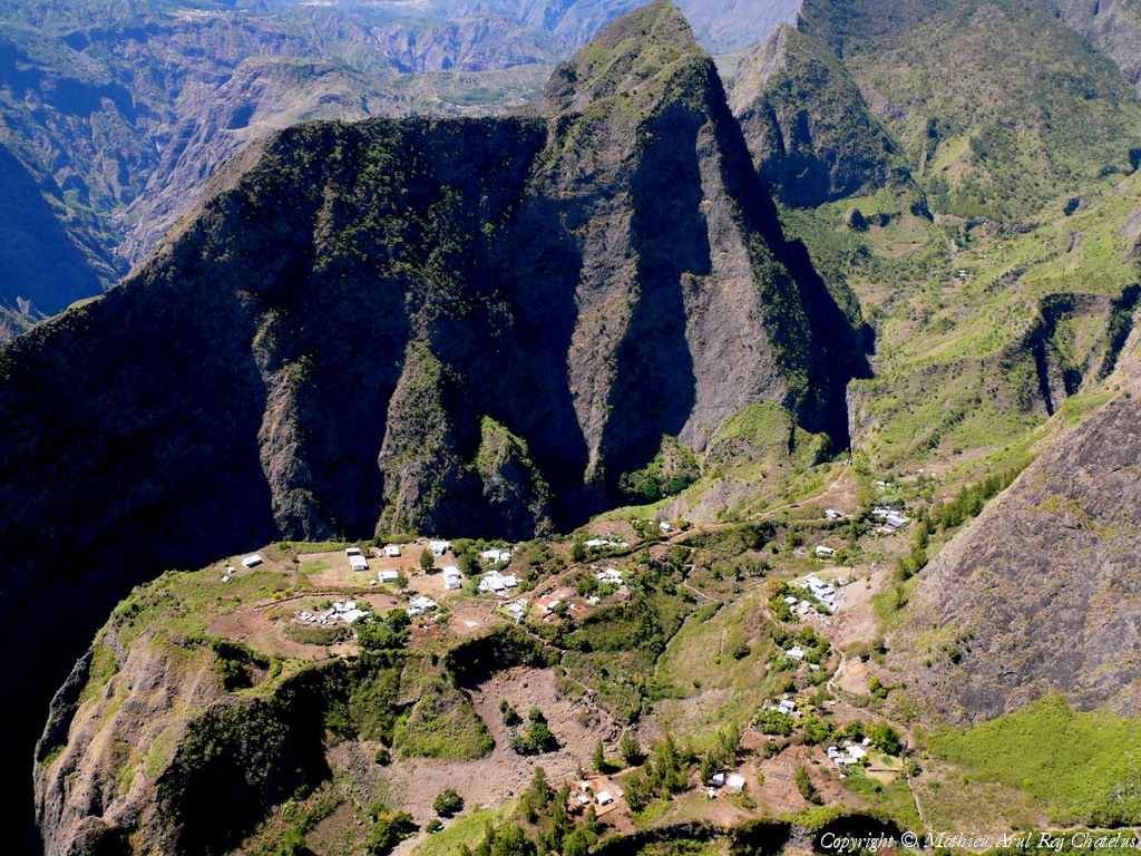
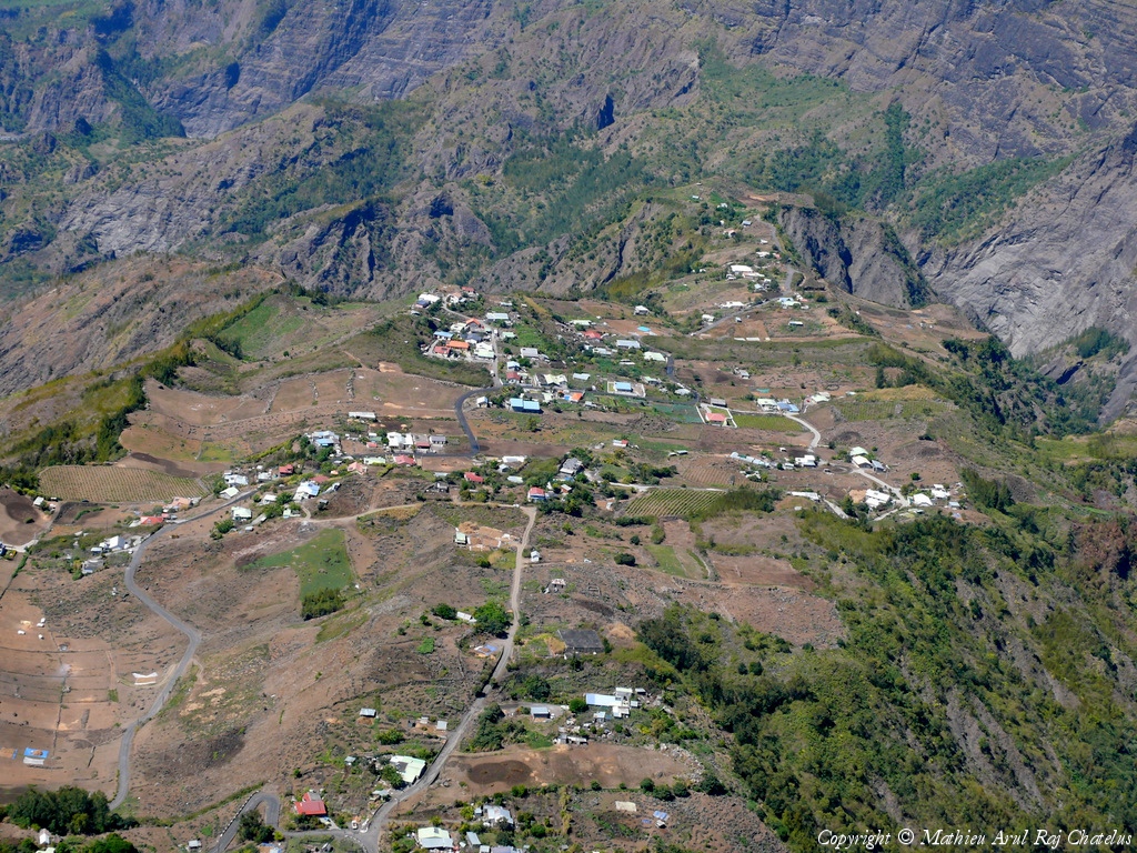
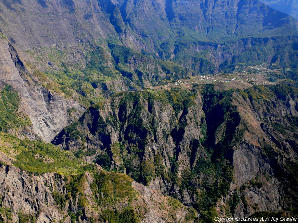
Pays :
France
Département :
La Réunion (974)
Lieu :
La Nouvelle
Coord. GPS :
21 04 36 S 55 25 22 E
Photographe :
Mathieu Arc
Prise le :
04/10/2009
Vue 2766 fois (
0.52 fois/jour
)
Affiner la recherche
-
Situer sur la carte
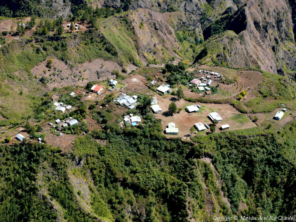
Pays :
France
Département :
La Réunion (974)
Lieu :
Ilet des Orangers
Coord. GPS :
21 02 34 S 55 23 35 E
Photographe :
Mathieu Arc
Prise le :
04/10/2009
Vue 4537 fois (
0.86 fois/jour
)
Affiner la recherche
-
Situer sur la carte
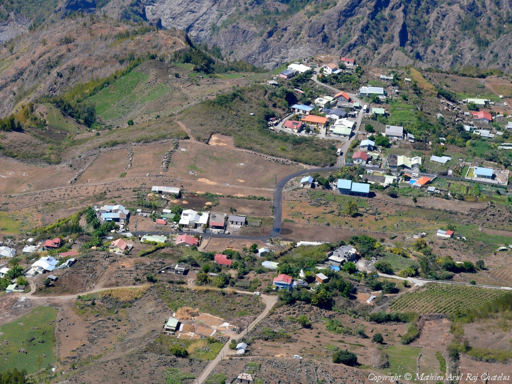
Pays :
France
Département :
La Réunion (974)
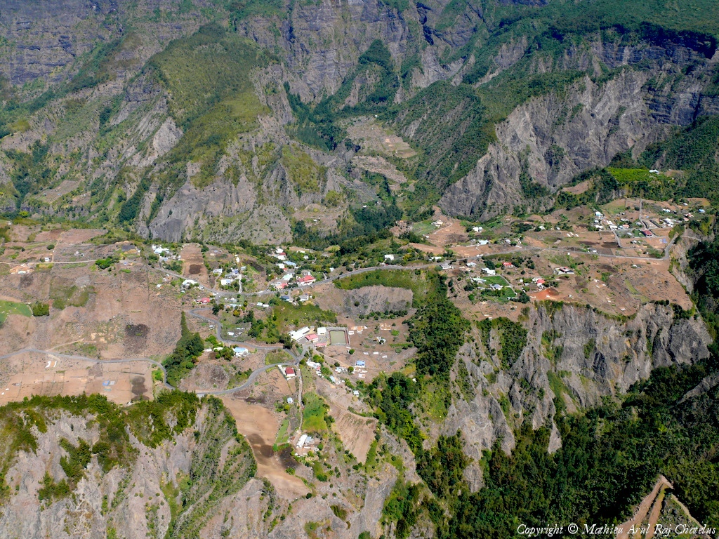
Lieu :
Ilet à Cordes
Coord. GPS :
21 09 19 S 55 26 11 E
Photographe :
Mathieu Arc
Prise le :
04/10/2009
Vue 2935 fois (
0.55 fois/jour
)
Affiner la recherche
-
Situer sur la carte
Pays :
France
Département :
La Réunion (974)
Lieu :
Ilet à Cordes
Coord. GPS :
21 09 19 S 55 26 11 E
Photographe :
Mathieu Arc
Prise le :
04/10/2009
Vue 3726 fois (
0.70 fois/jour
)
Affiner la recherche
-
Situer sur la carte
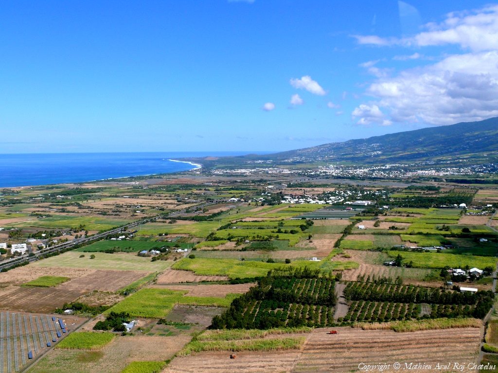
Pays :
France
Département :
La Réunion (974)
Lieu :
Takamaka
Coord. GPS :
21 05 35 S 55 36 43 E
Photographe :
Mathieu Arc
Prise le :
04/10/2009
Vue 5909 fois (
1.12 fois/jour
)
Affiner la recherche
-
Situer sur la carte
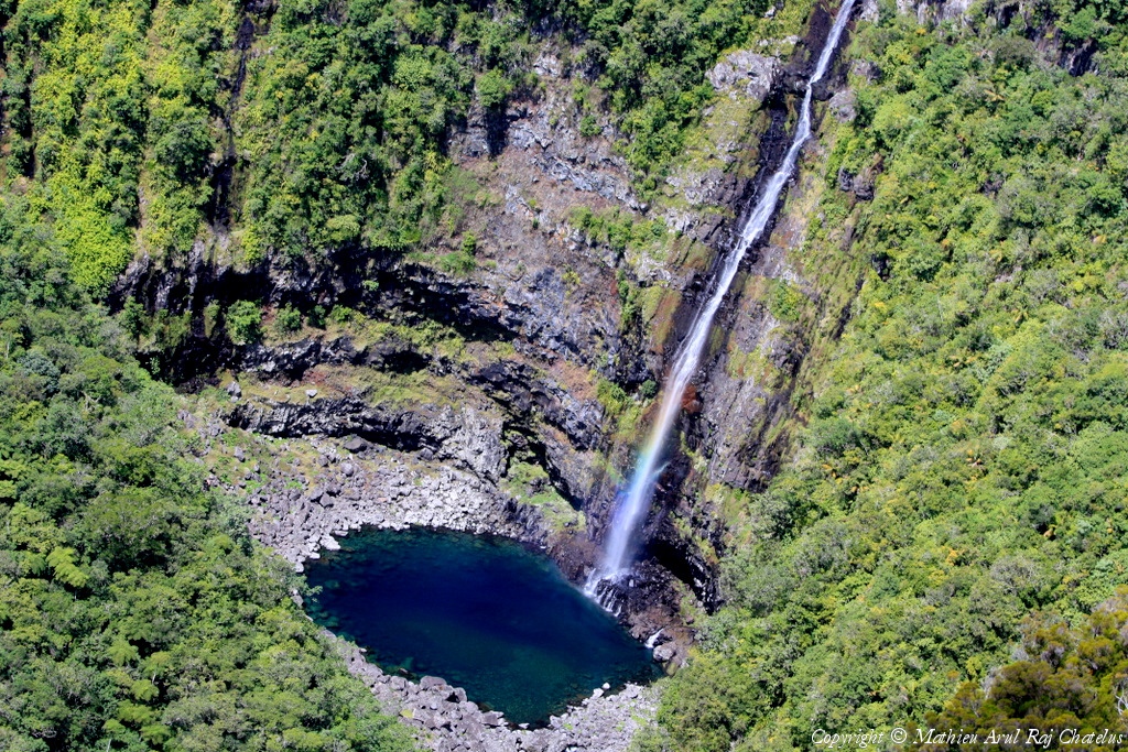
Pays :
France
Département :
La Réunion (974)
Lieu :
Trou de Fer
Coord. GPS :
21 02 24 S 55 33 23 E
Photographe :
Mathieu Arc
Prise le :
04/10/2009
Vue 2858 fois (
0.54 fois/jour
)
Affiner la recherche
-
Situer sur la carte
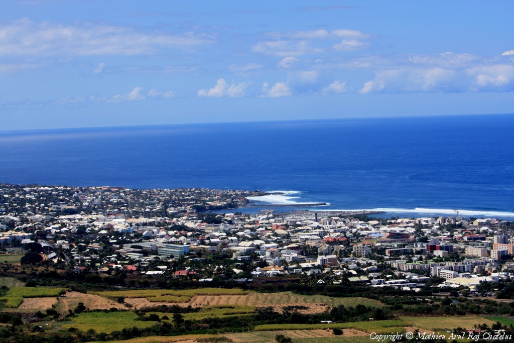
Pays :
France
Département :
La Réunion (974)
Lieu :
Saint-Pierre
Coord. GPS :
21 18 55 S 55 28 40 E
Photographe :
Mathieu Arc
Prise le :
04/10/2009
Vue 3122 fois (
0.59 fois/jour
)
Affiner la recherche
-
Situer sur la carte
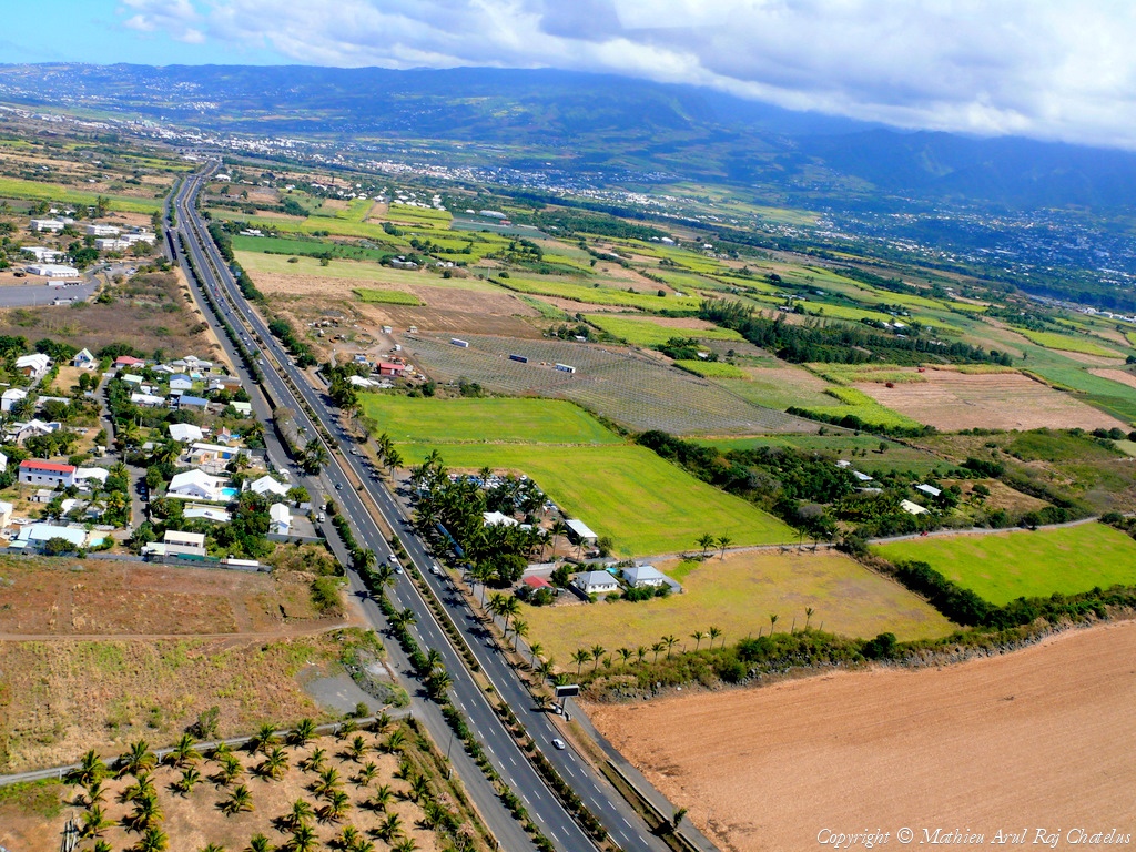
Pays :
France
Département :
La Réunion (974)
Lieu :
Takamaka
Coord. GPS :
21 05 35 S 55 36 43 E
Photographe :
Mathieu Arc
Prise le :
04/10/2009
Vue 3846 fois (
0.73 fois/jour
)
Affiner la recherche
-
Situer sur la carte
Pays :
France
Département :
La Réunion (974)
Lieu :
Salazie
Coord. GPS :
21 01 38 S 55 30 36 E
Photographe :
Mathieu Arc
Prise le :
04/10/2009
Vue 2615 fois (
0.49 fois/jour
)
Affiner la recherche
-
Situer sur la carte
Pays :
France
Département :
La Réunion (974)
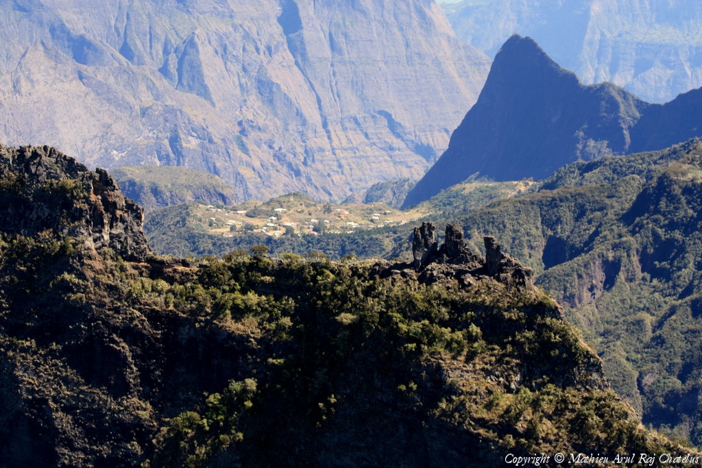
Lieu :
Les 3 Salazes
Coord. GPS :
21 06 26 S 55 26 28 E
Photographe :
Mathieu Arc
Prise le :
04/10/2009
Vue 2654 fois (
0.50 fois/jour
)
Affiner la recherche
-
Situer sur la carte
Pays :
France
Département :
La Réunion (974)
Lieu :
Plaine des Sables
Coord. GPS :
21 13 54 S 55 39 38 E
Photographe :
Mathieu Arc
Prise le :
04/10/2009
Vue 2762 fois (
0.52 fois/jour
)
Affiner la recherche
-
Situer sur la carte
Pays :
France
Département :
La Réunion (974)
Lieu :
Piton de la Fournaise
Coord. GPS :
21 14 41 S 55 42 48 E
Photographe :
Mathieu Arc
Prise le :
04/10/2009
Vue 2739 fois (
0.52 fois/jour
)
Affiner la recherche
-
Situer sur la carte
Pays :
France
Département :
La Réunion (974)
Lieu :
La Nouvelle
Coord. GPS :
21 04 36 S 55 25 22 E
Photographe :
Mathieu Arc
Prise le :
04/10/2009
Vue 2779 fois (
0.52 fois/jour
)
Affiner la recherche
-
Situer sur la carte
Pays :
France
Département :
La Réunion (974)
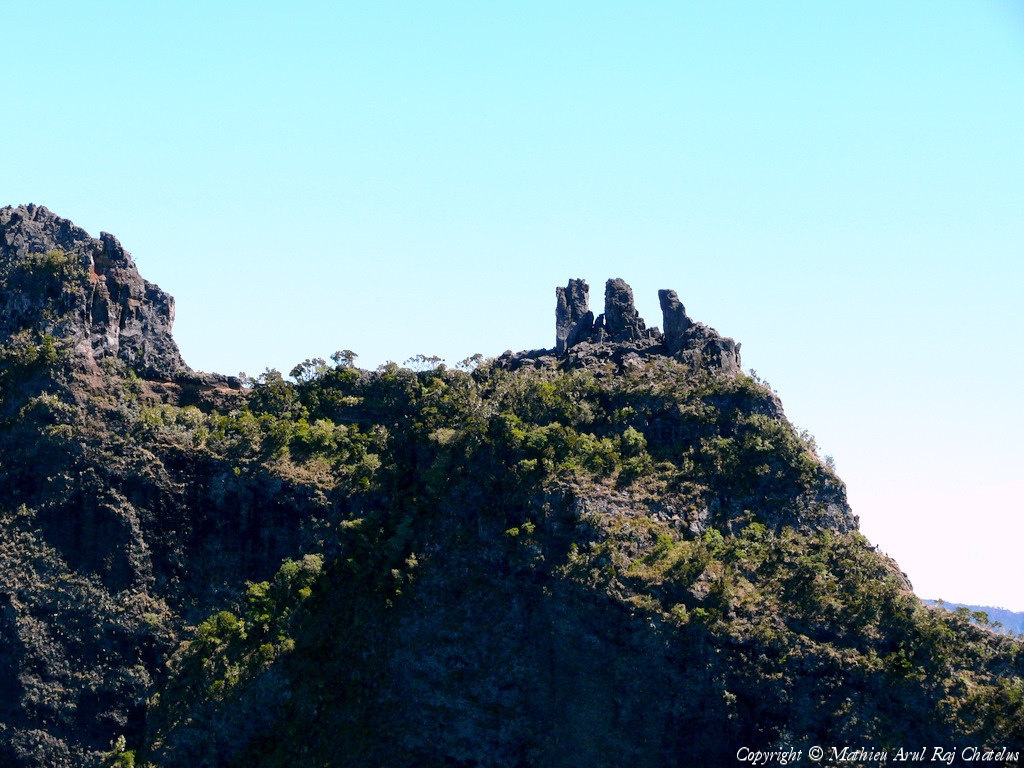
Lieu :
Les 3 Salazes
Coord. GPS :
21 06 26 S 55 26 28 E
Photographe :
Mathieu Arc
Prise le :
04/10/2009
Vue 2755 fois (
0.52 fois/jour
)
Affiner la recherche
-
Situer sur la carte
Pays :
France
Département :
La Réunion (974)
Lieu :
Col du Taïbit
Coord. GPS :
21 06 45 S 55 25 56 E
Photographe :
Mathieu Arc
Prise le :
04/10/2009
Vue 2766 fois (
0.52 fois/jour
)
Affiner la recherche
-
Situer sur la carte
Pays :
France
Département :
La Réunion (974)
Lieu :
Ilet à Cordes
Coord. GPS :
21 09 19 S 55 26 11 E
Photographe :
Mathieu Arc
Prise le :
04/10/2009
Vue 2479 fois (
0.47 fois/jour
)
Affiner la recherche
-
Situer sur la carte
Pays :
France
Département :
La Réunion (974)
Lieu :
Ilet à Cordes
Coord. GPS :
21 09 19 S 55 26 11 E
Photographe :
Mathieu Arc
Prise le :
04/10/2009
Vue 2757 fois (
0.52 fois/jour
)
Affiner la recherche
-
Situer sur la carte
1
2
Page suivante
Dernière page
Droits réservés - Copyright ©
Survol de France
Site en ligne depuis le 28 octobre 2004
529 visiteurs en ligne
-
1300 visiteurs aujourd'hui
Information sur la confidentialité
-
Mentions légales
Mesure d'audience ROI frequentation par


