Vous devez activer Javascript pour pouvoir afficher correctement cette page !
Accueil / Recherche
|
Les photos en France
|
Les photos des autres pays
|
Envoyer vos photos
|
Le TOP 20
Conditions d'utilisation
|
Google Maps
|
Formulaire de contact
|
Nouvelles photos ajoutées
|
Newsletter
Publicité :
Nombre de photo(s) :
217
Lancer le
diaporama
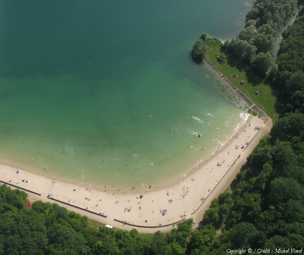
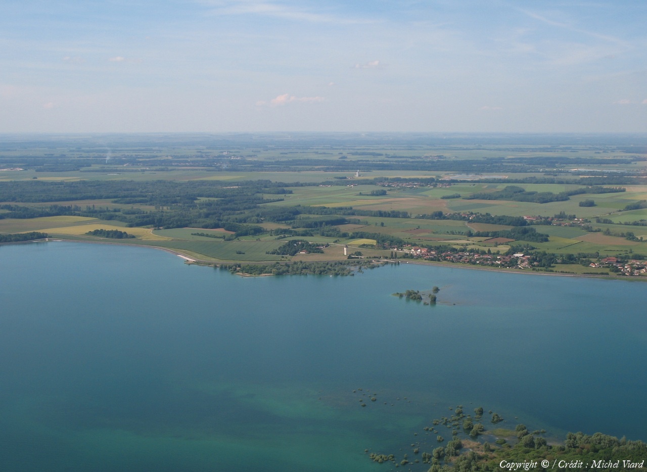
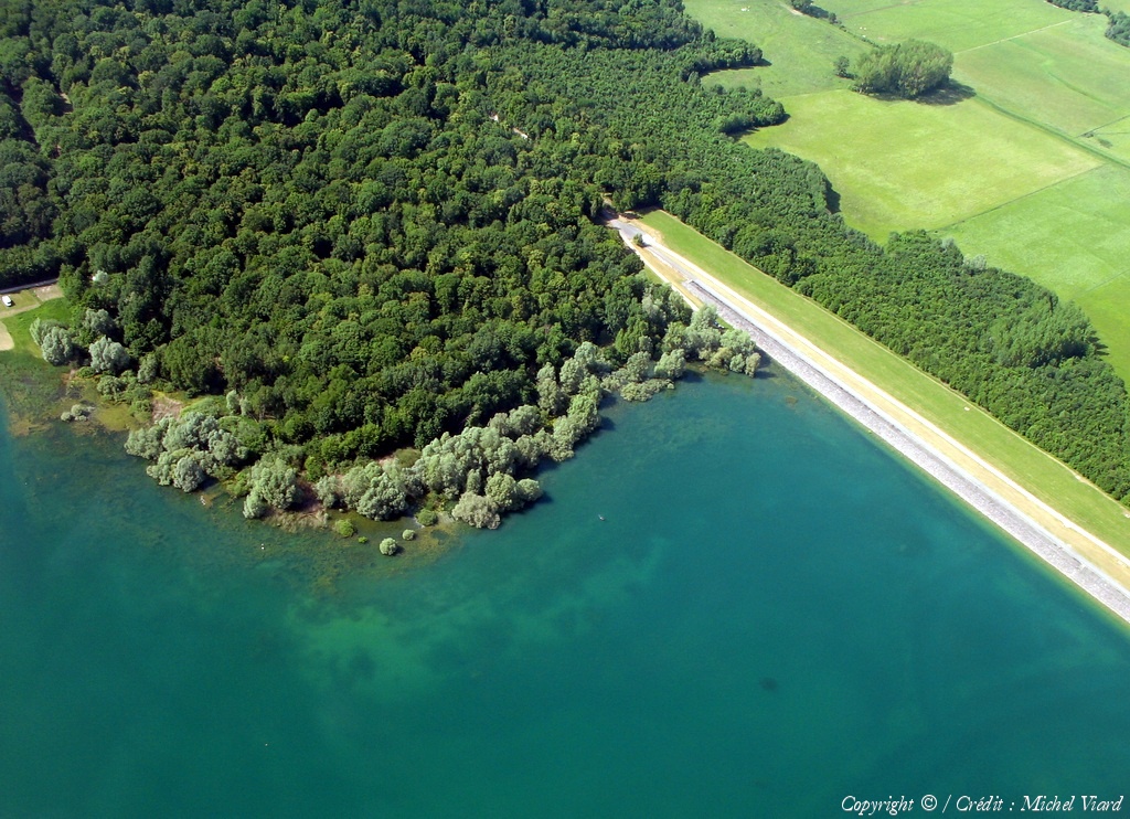
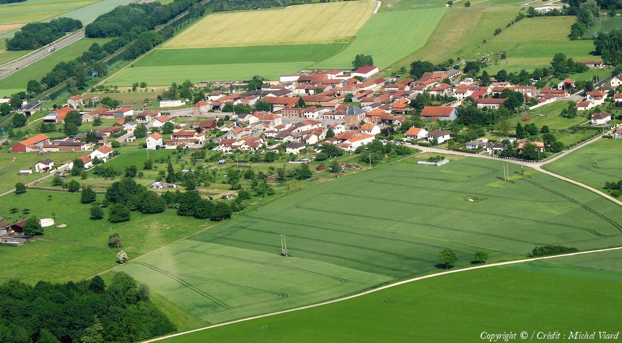
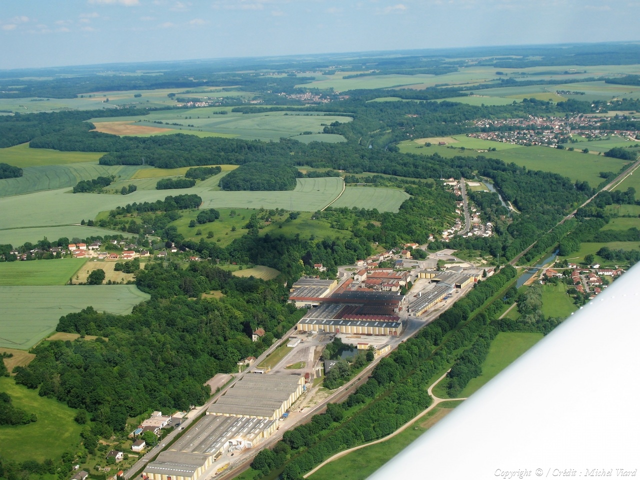
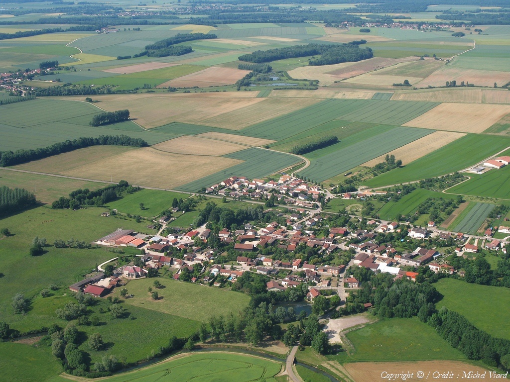
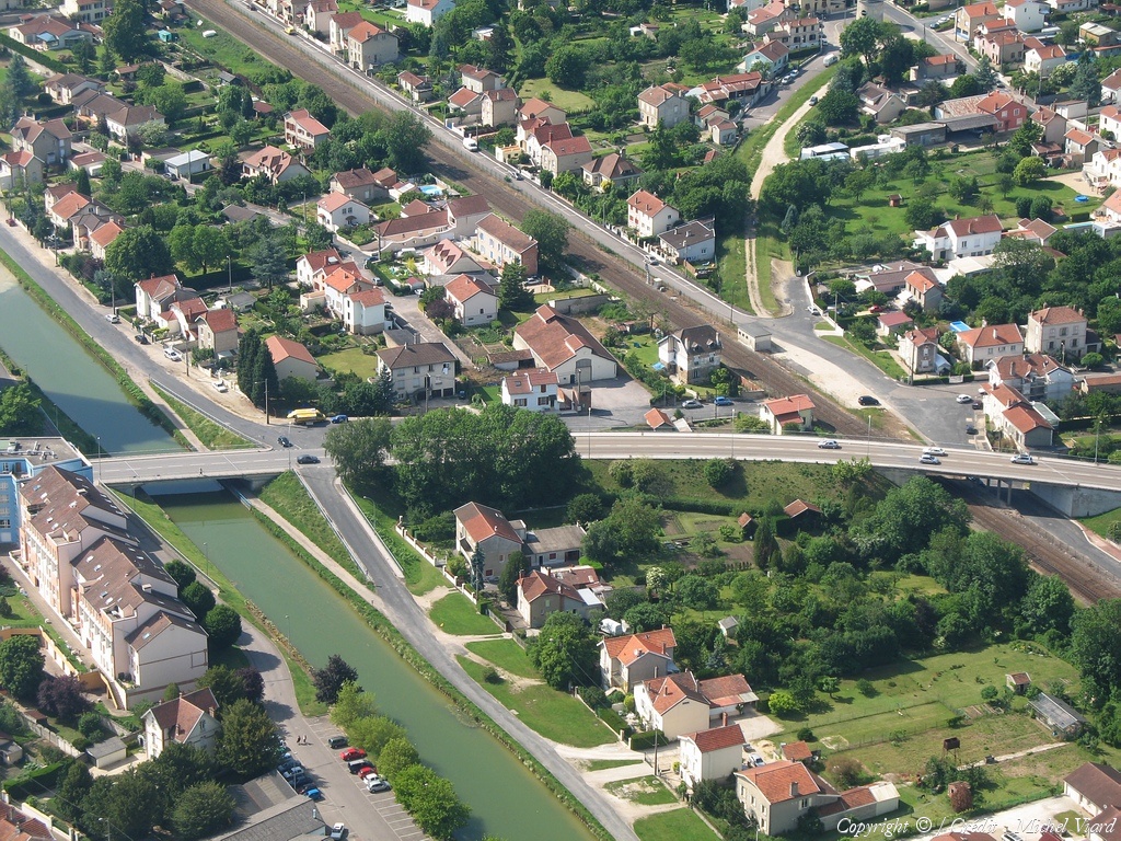
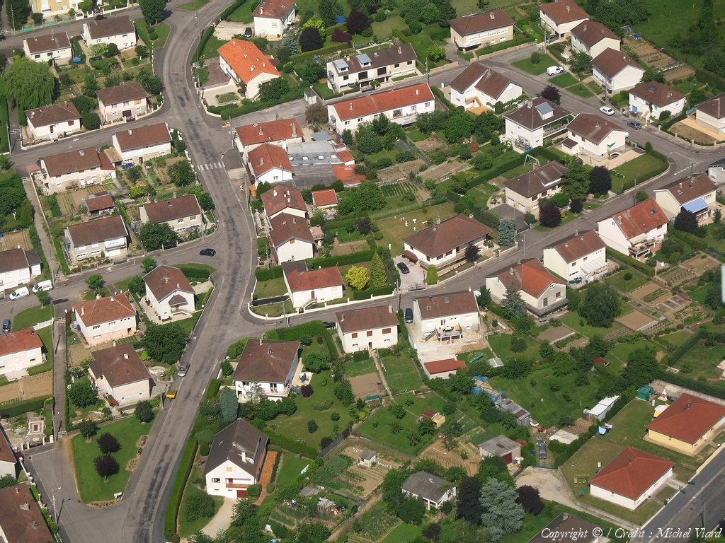
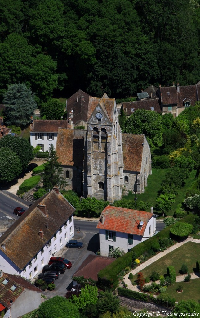
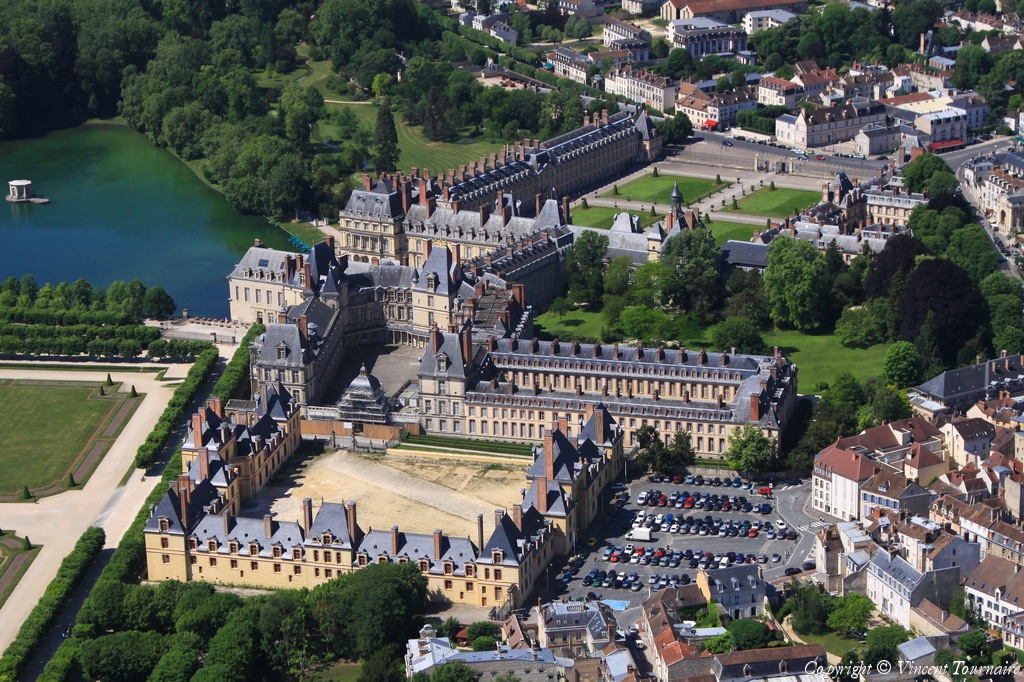
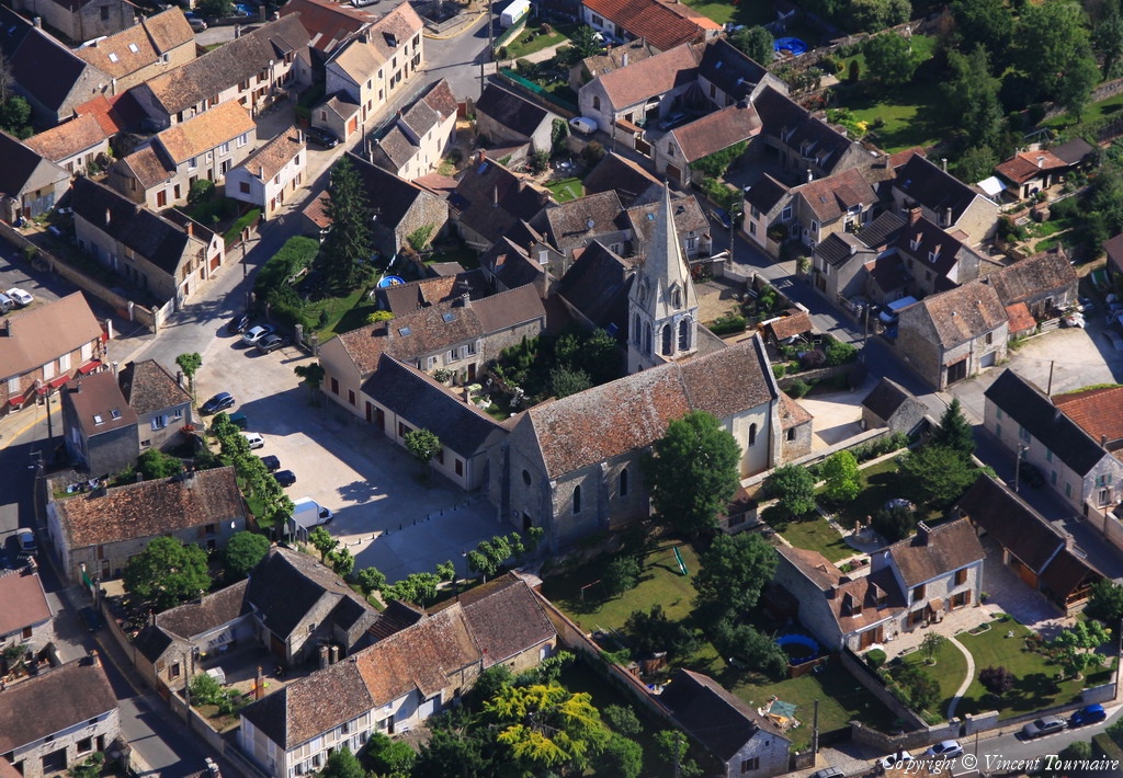
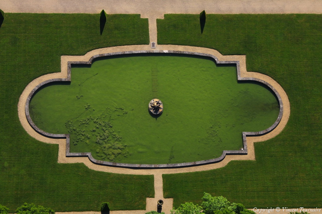
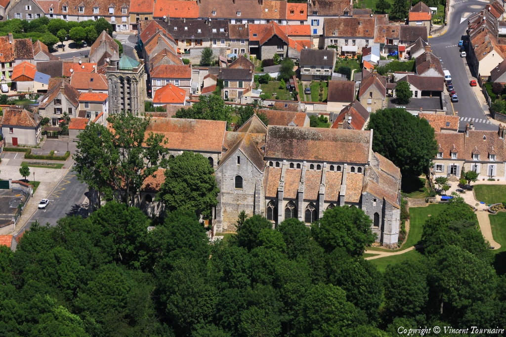
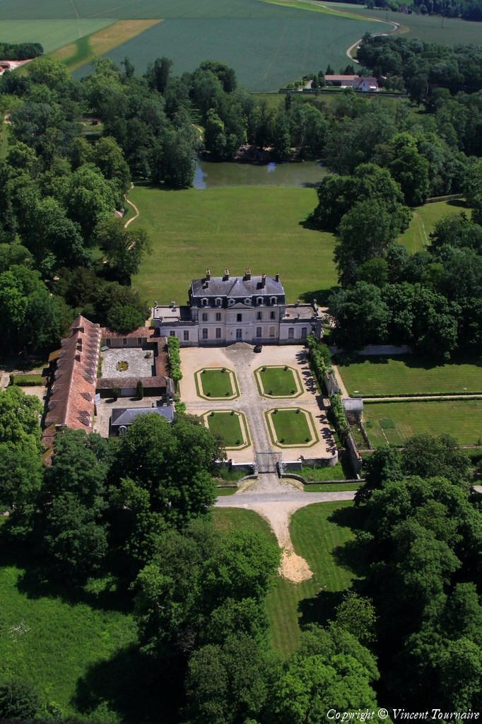
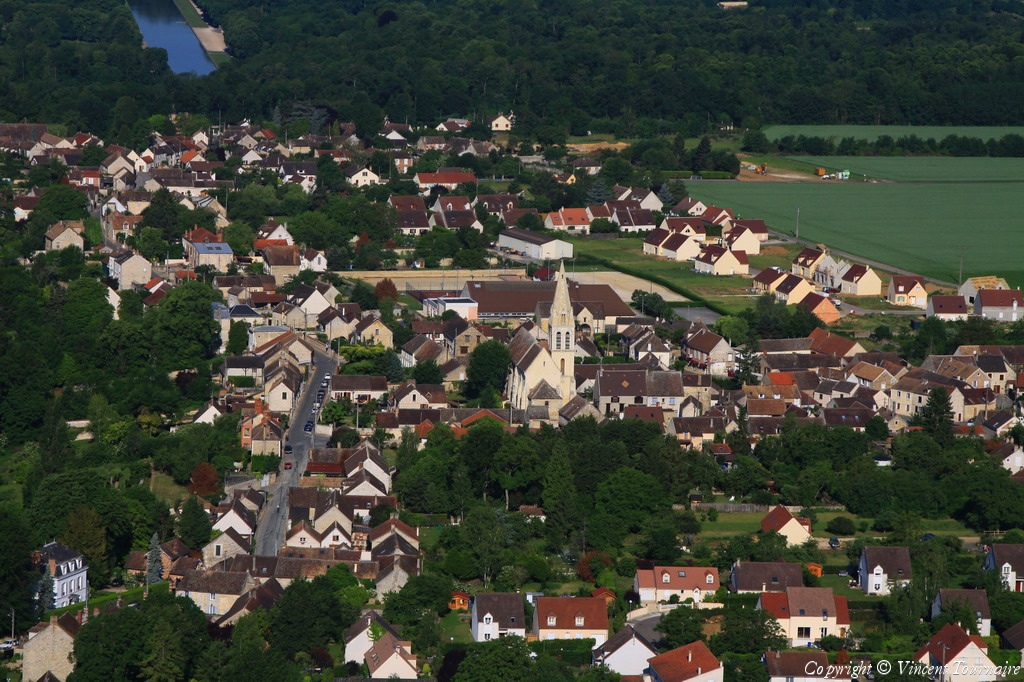
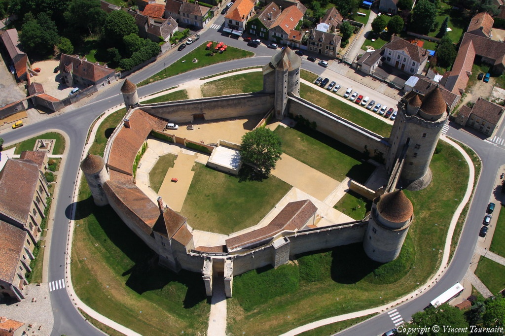
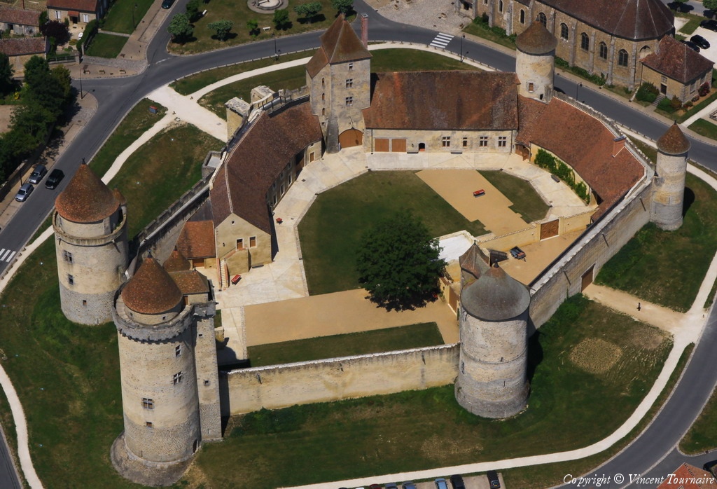
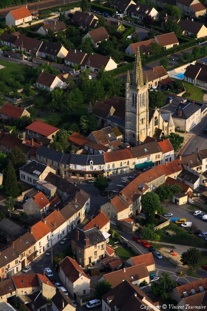
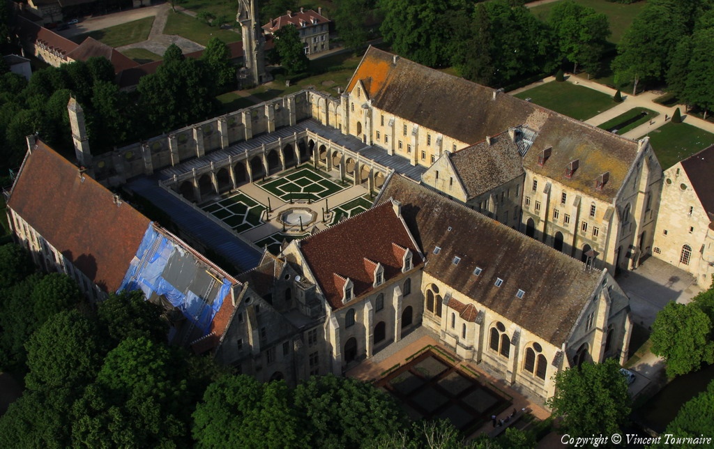
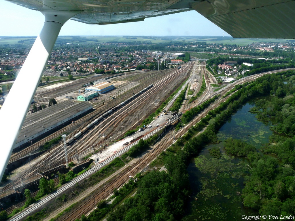
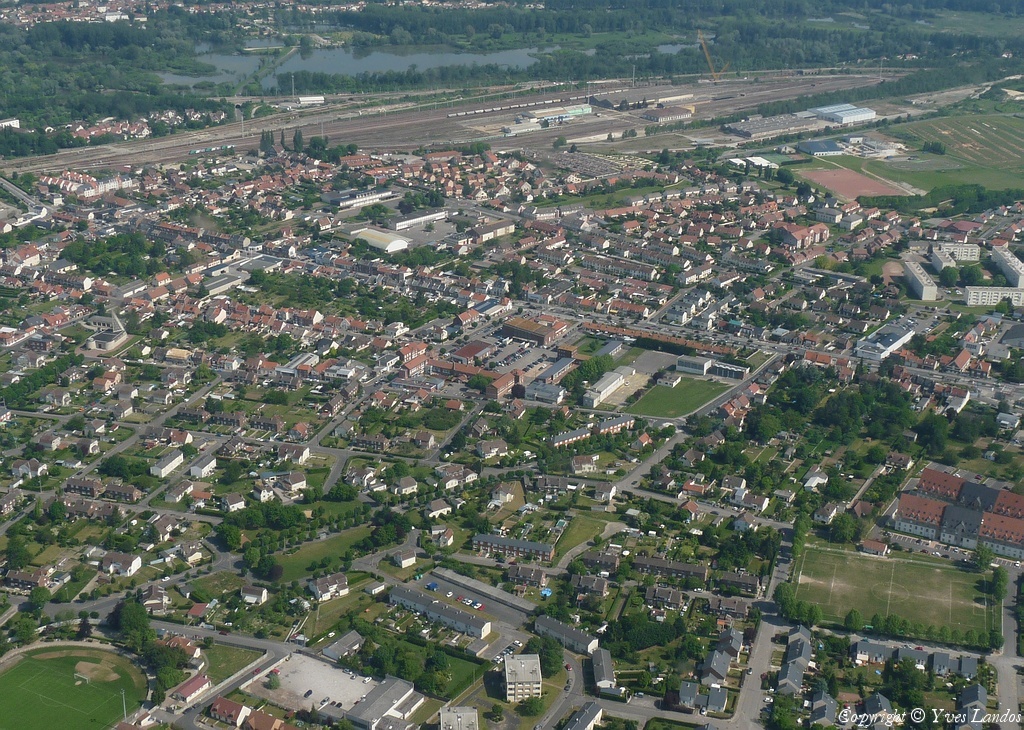
Pays :
France
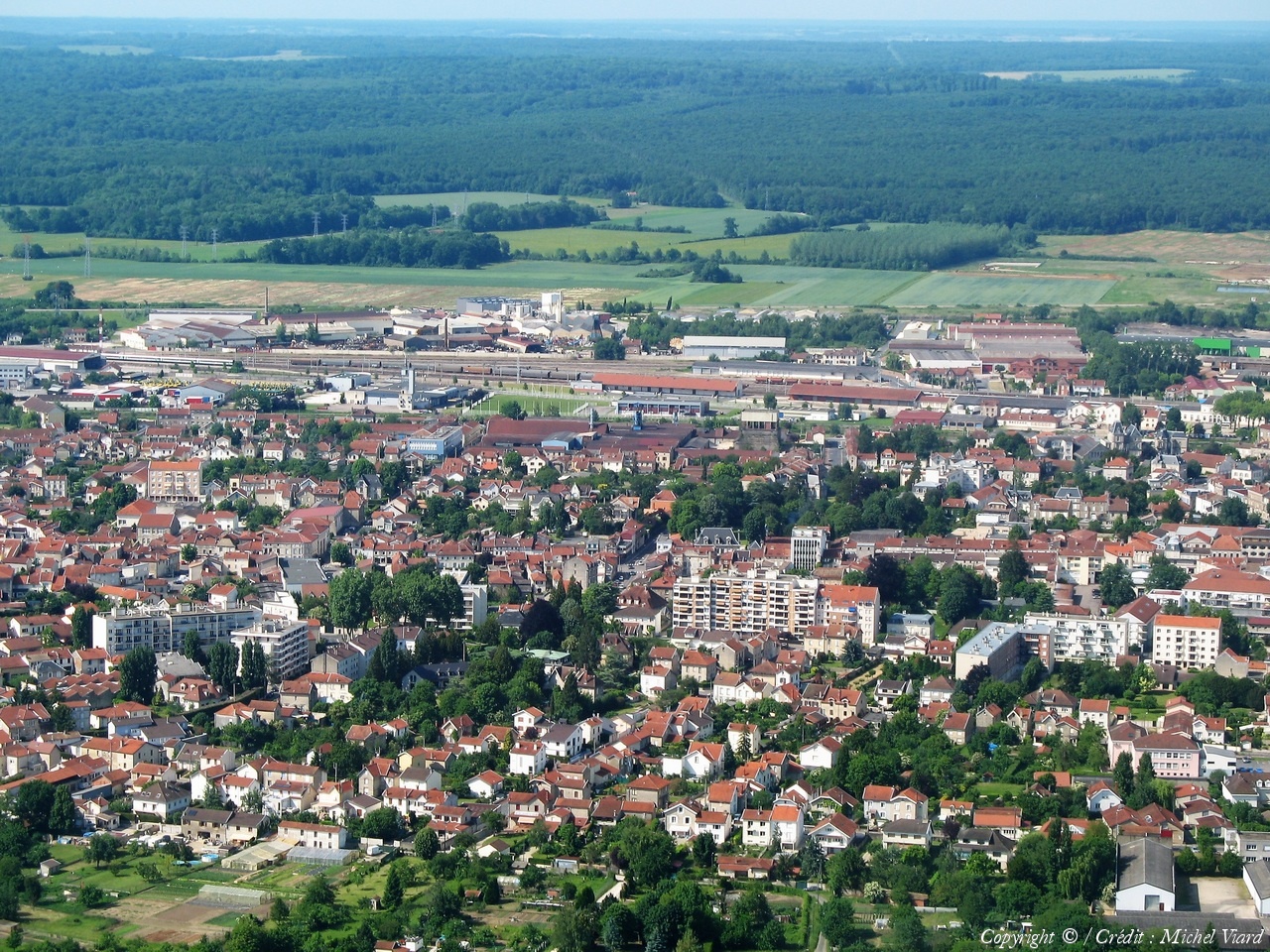
Département :
Haute-Marne (52)
Lieu :
Saint-Dizier
Coord. GPS :
48 38 15 N 04 56 50 E
Photographe :
Michel Viard
Prise le :
05/06/2010
Vue 2490 fois (
0.68 fois/jour
)
Affiner la recherche
-
Situer sur la carte
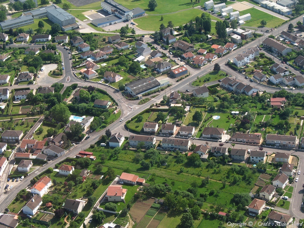
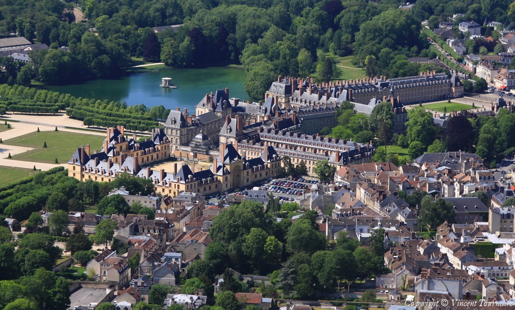
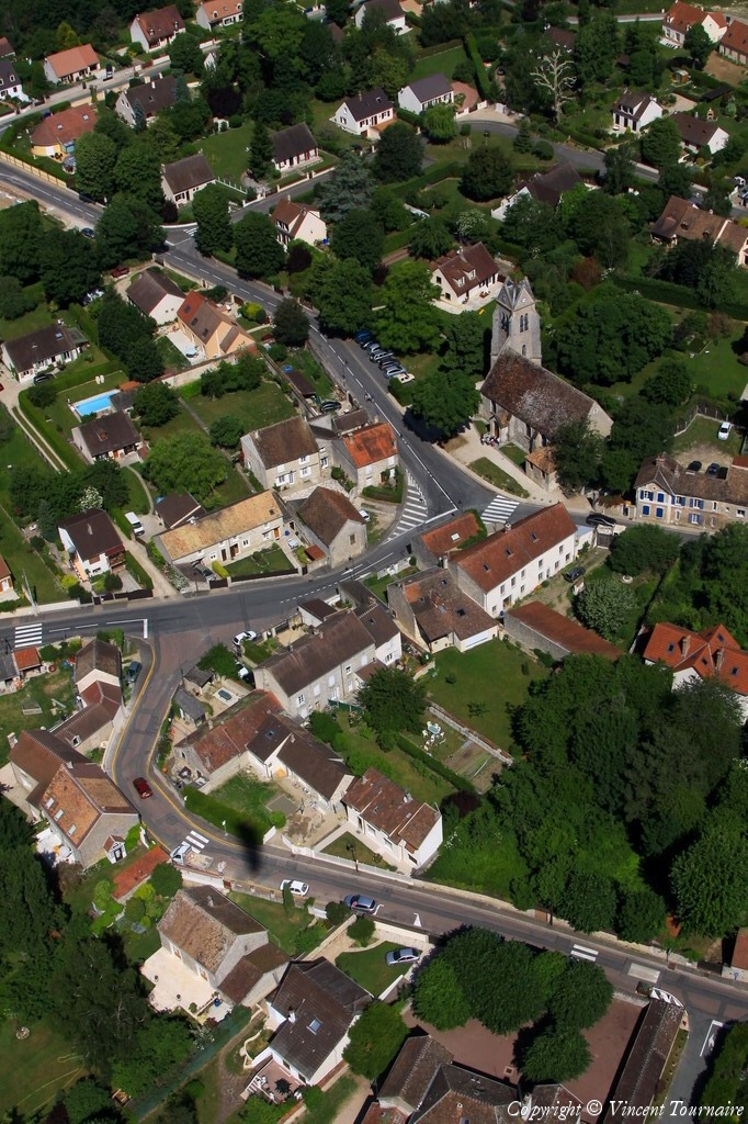
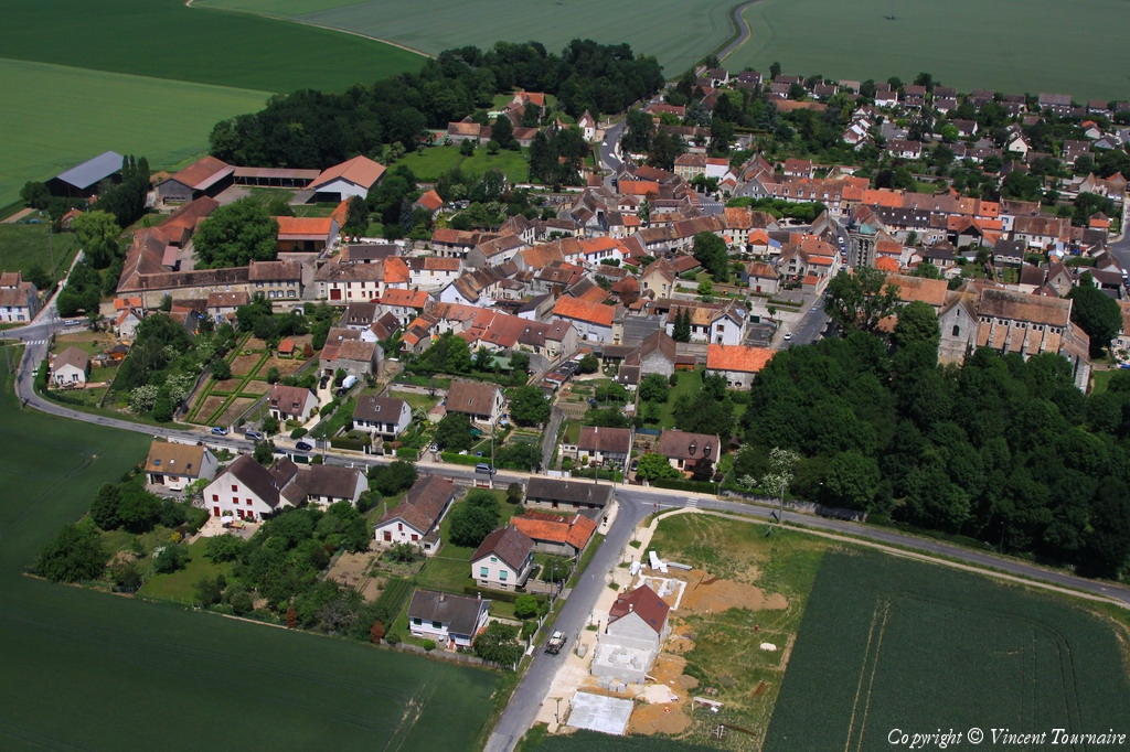
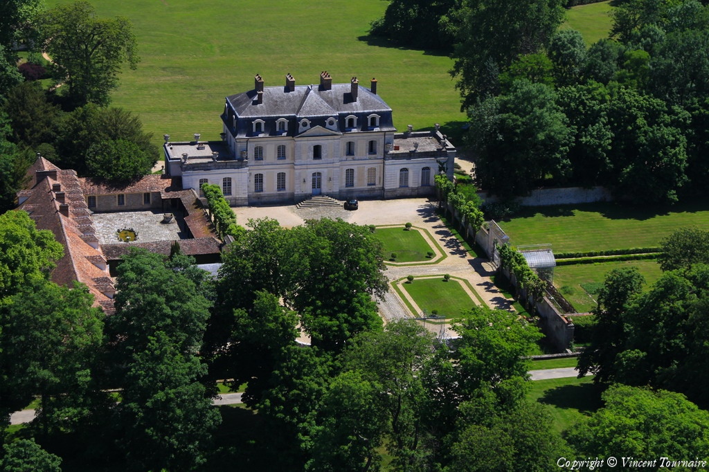
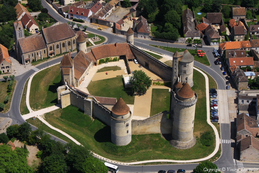
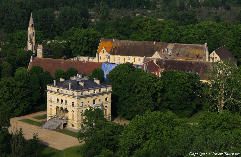
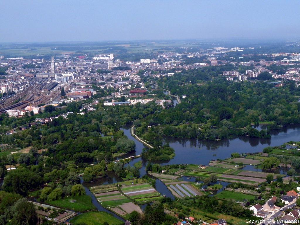
Pays :
France
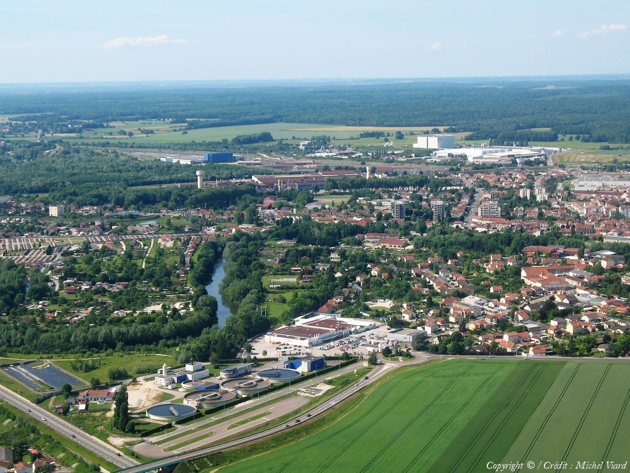
Département :
Haute-Marne (52)
Lieu :
Saint-Dizier
Coord. GPS :
48 38 34 N 04 57 50 E
Photographe :
Michel Viard
Prise le :
05/06/2010
Vue 2319 fois (
0.64 fois/jour
)
Affiner la recherche
-
Situer sur la carte
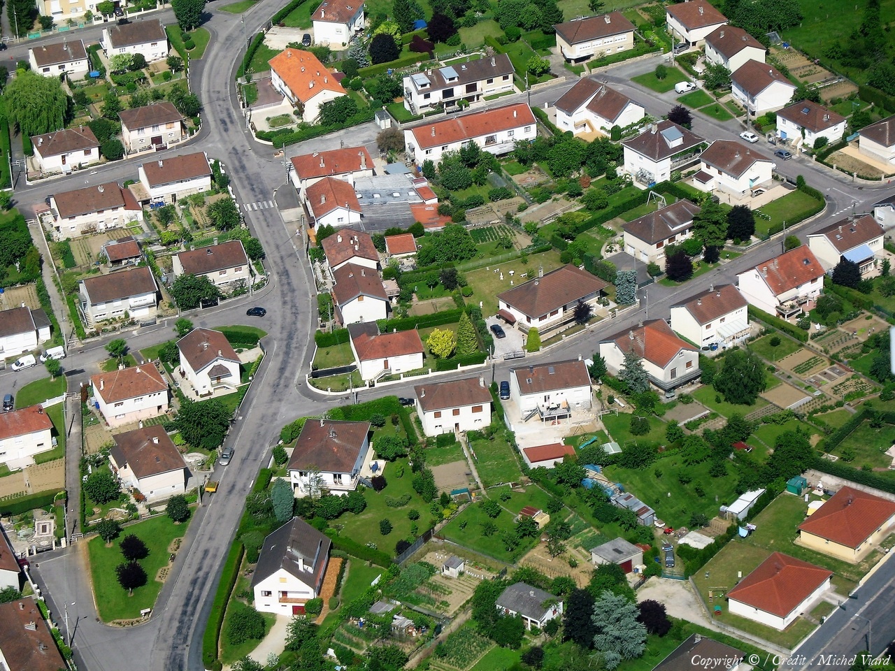
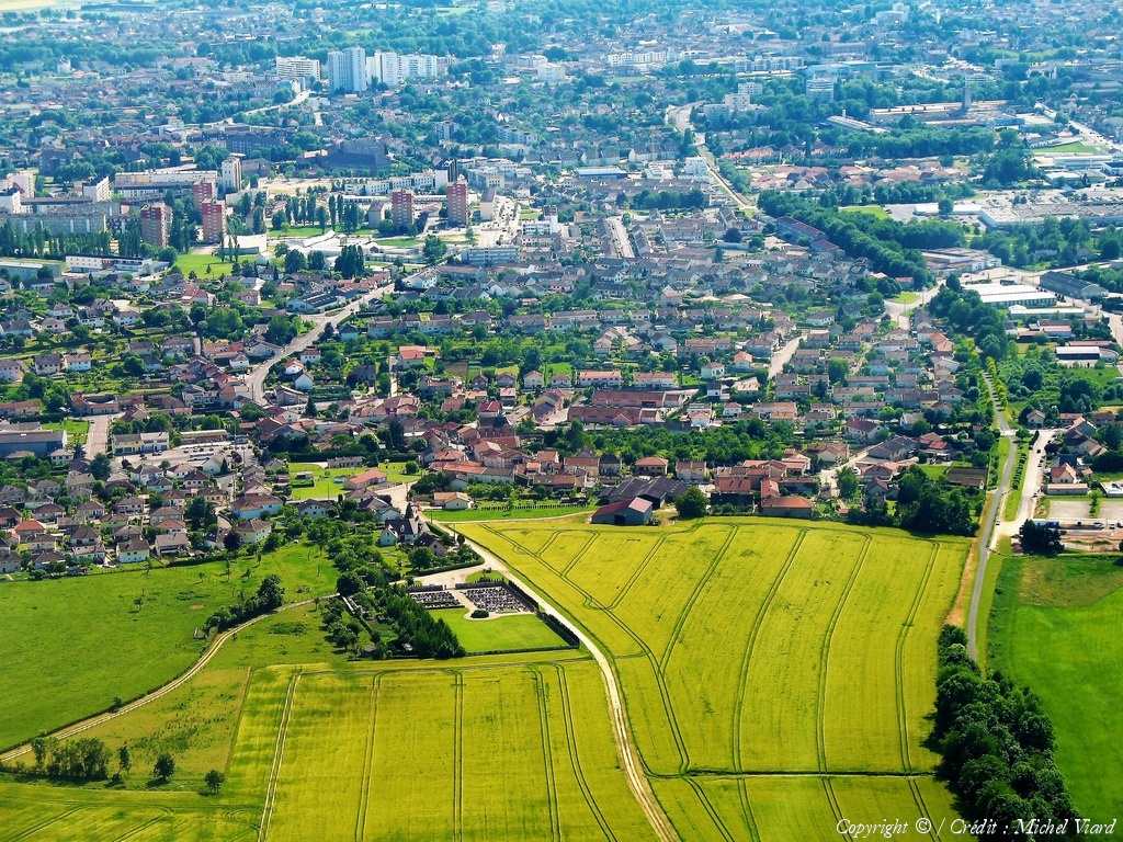
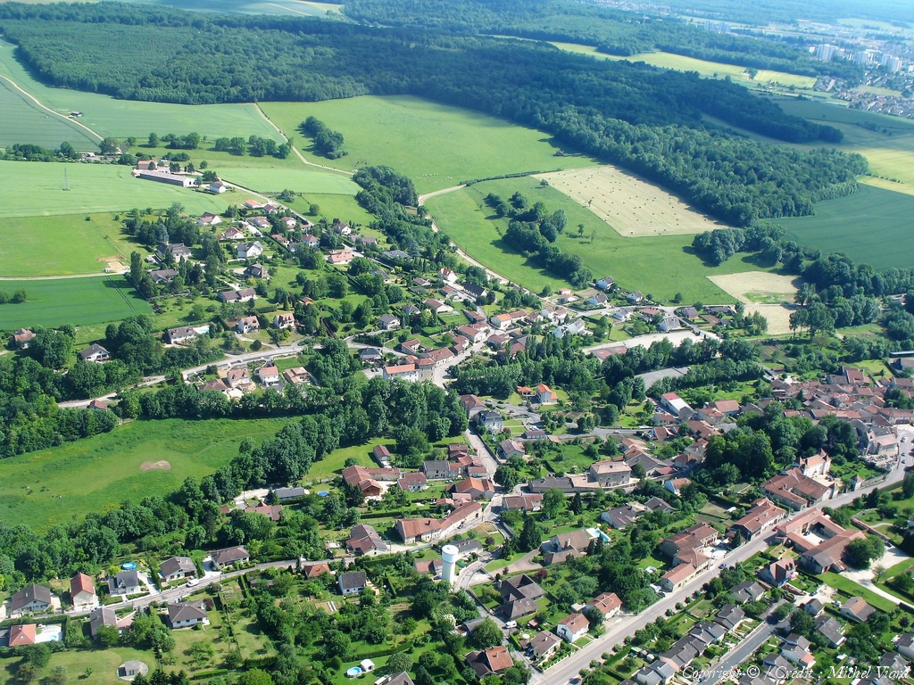
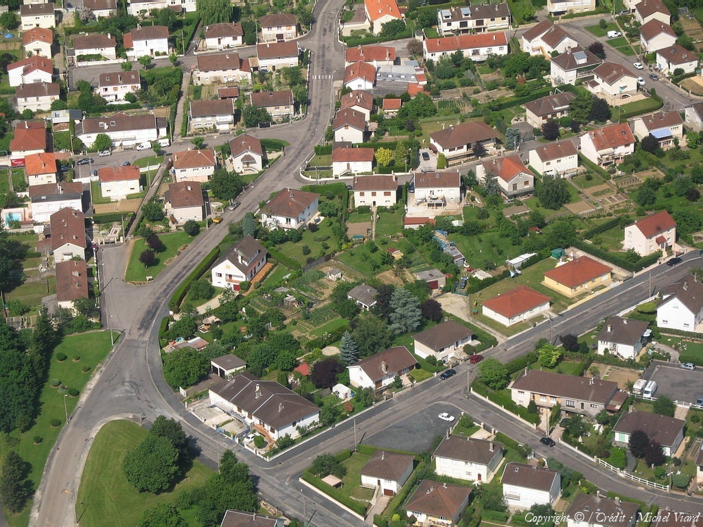
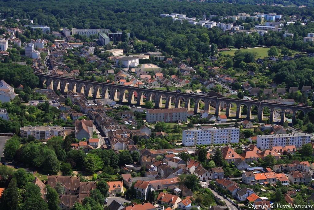
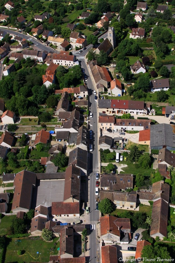
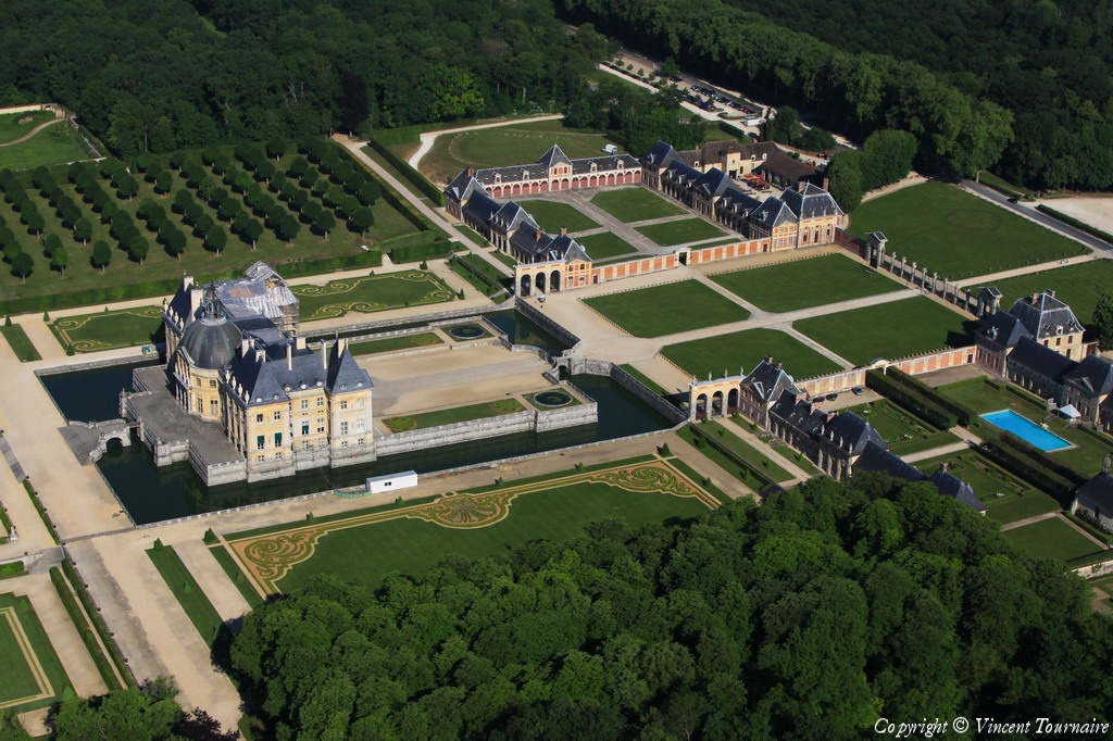
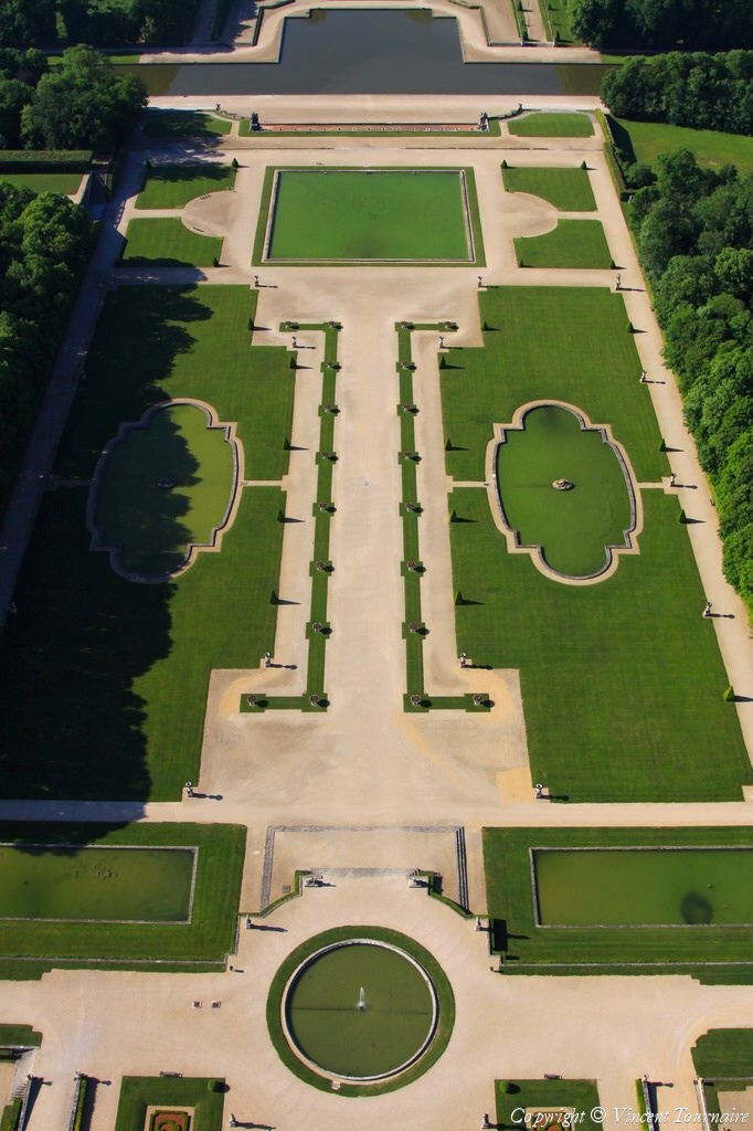
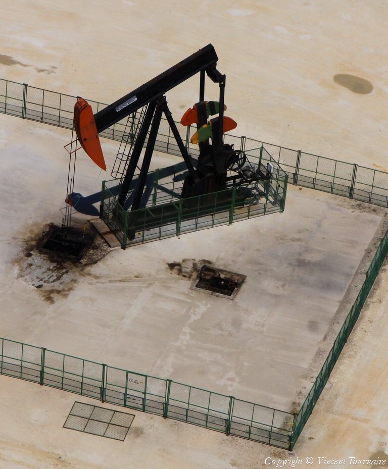
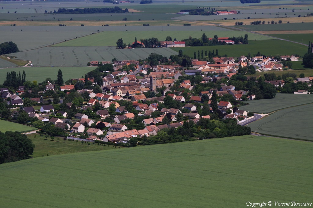
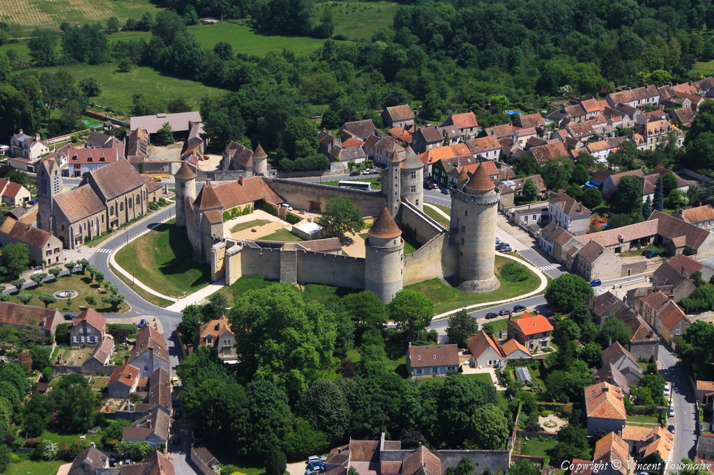
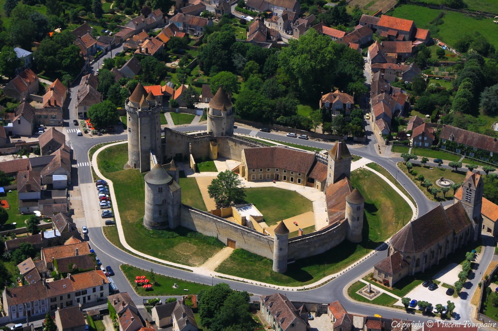
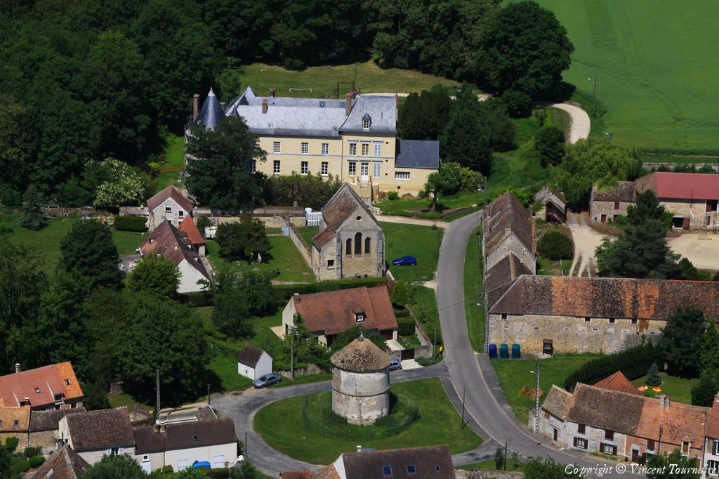
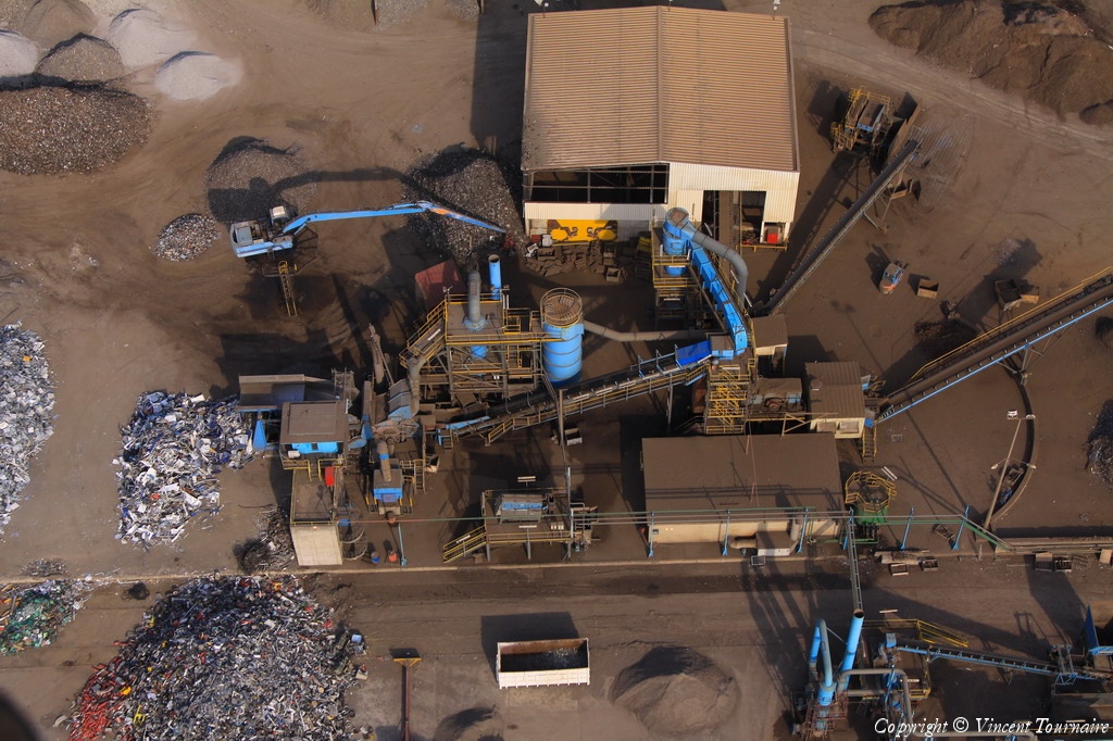
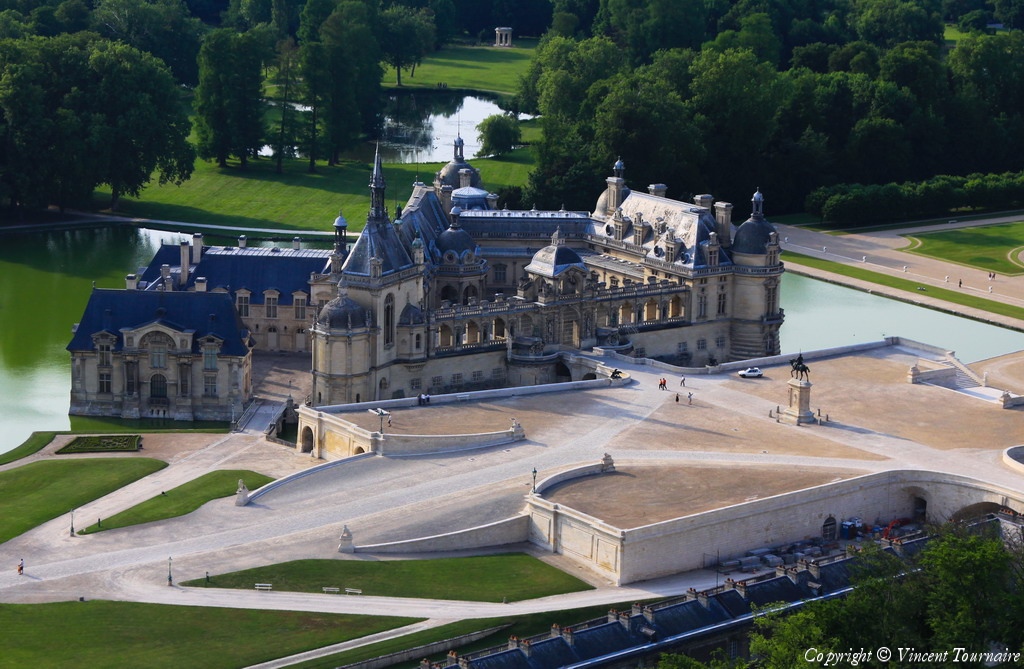
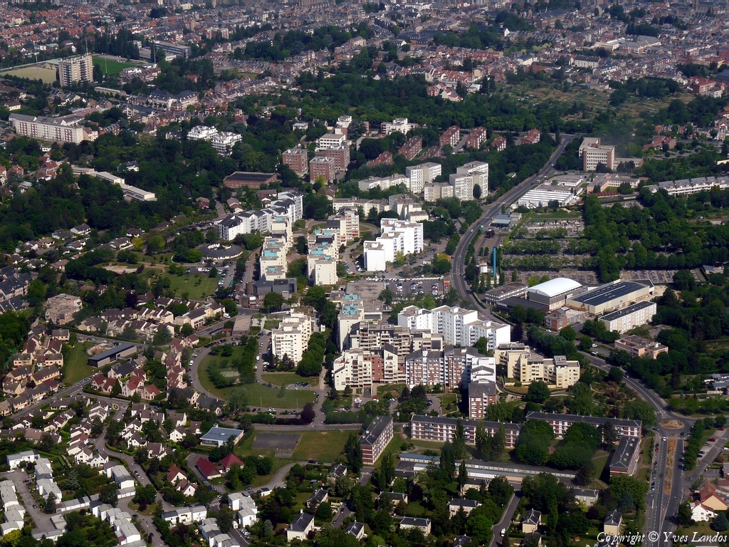
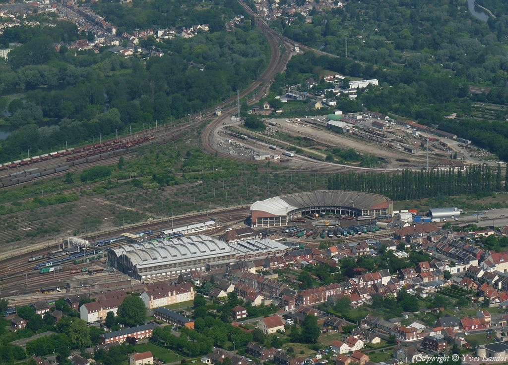
Pays :
France
Département :
Haute-Marne (52)
Lieu :
Saint-Dizier
Coord. GPS :
48 38 10 N 04 57 07 E
Photographe :
Michel Viard
Prise le :
05/06/2010
Vue 2033 fois (
0.56 fois/jour
)
Affiner la recherche
-
Situer sur la carte
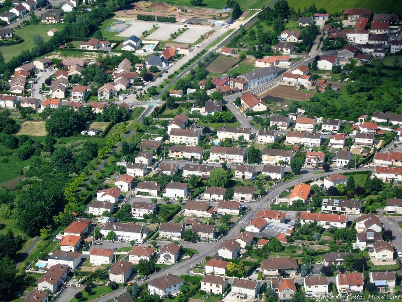
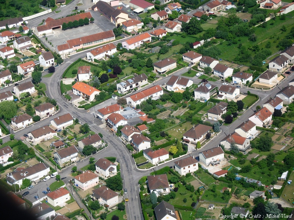
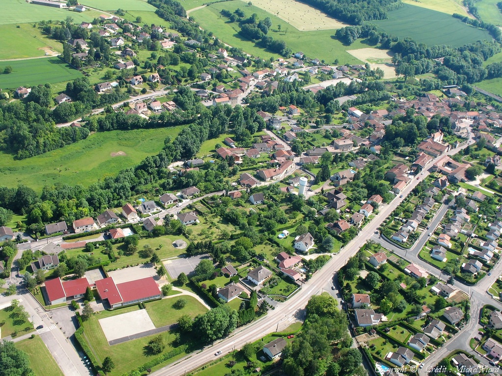
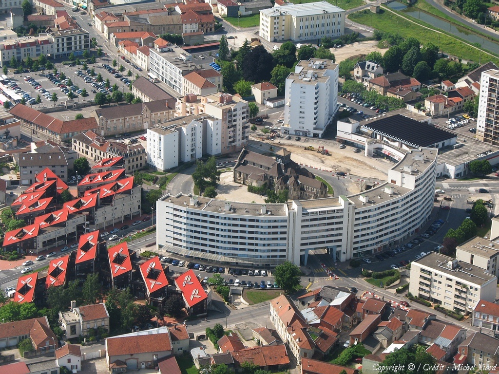
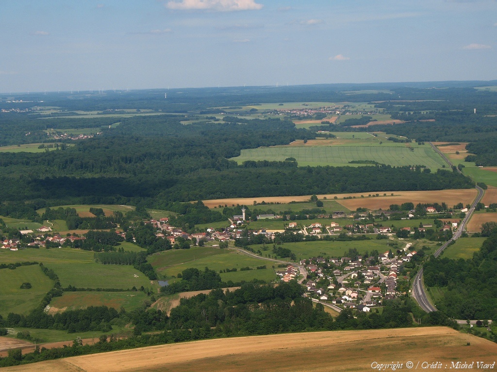
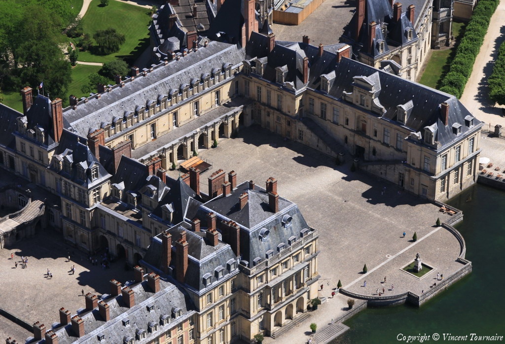
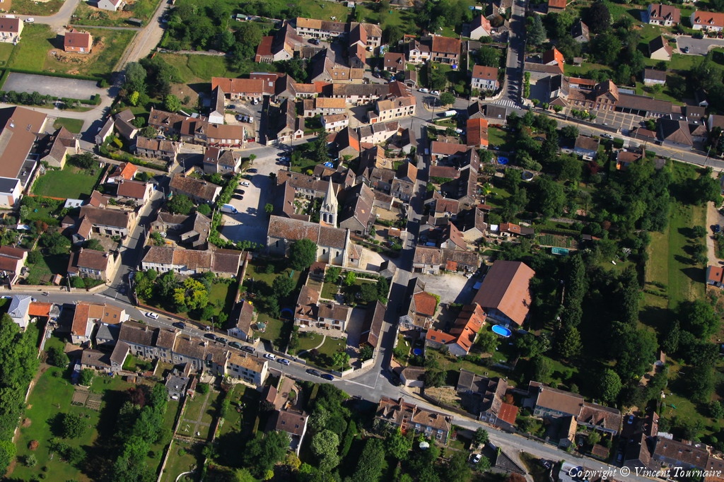
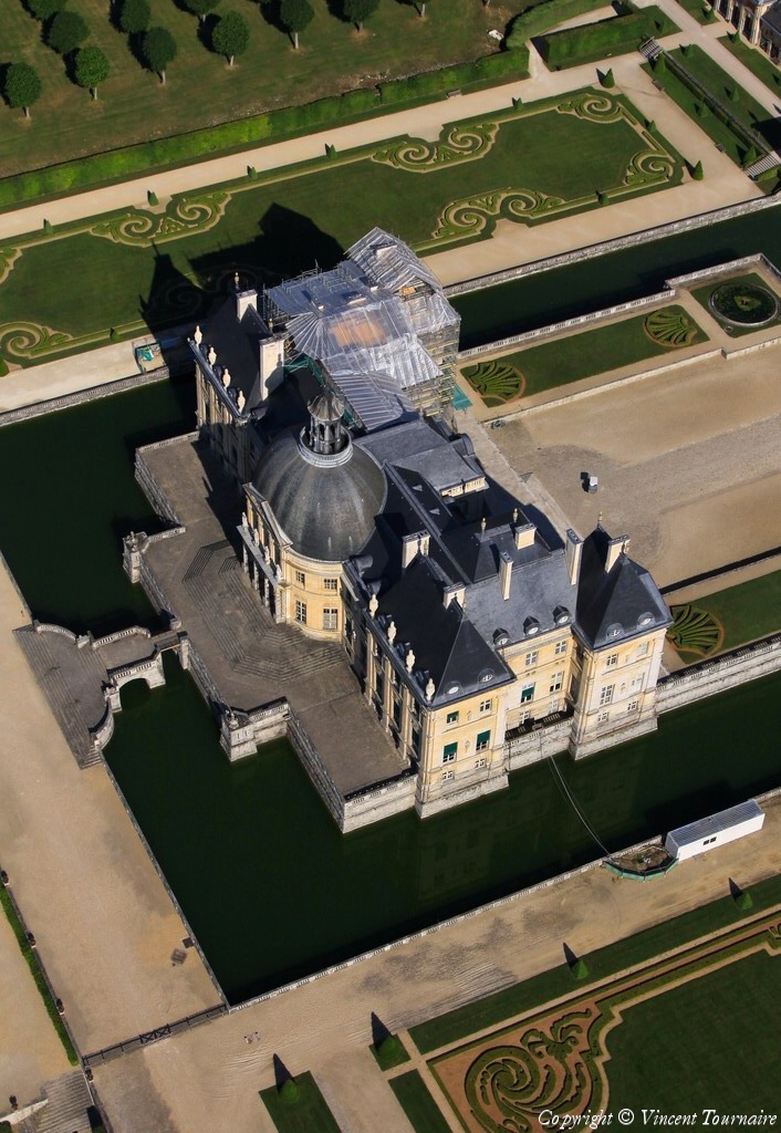
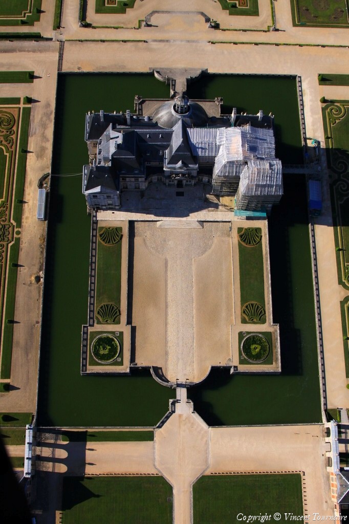
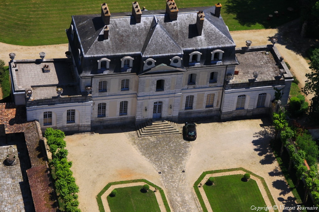
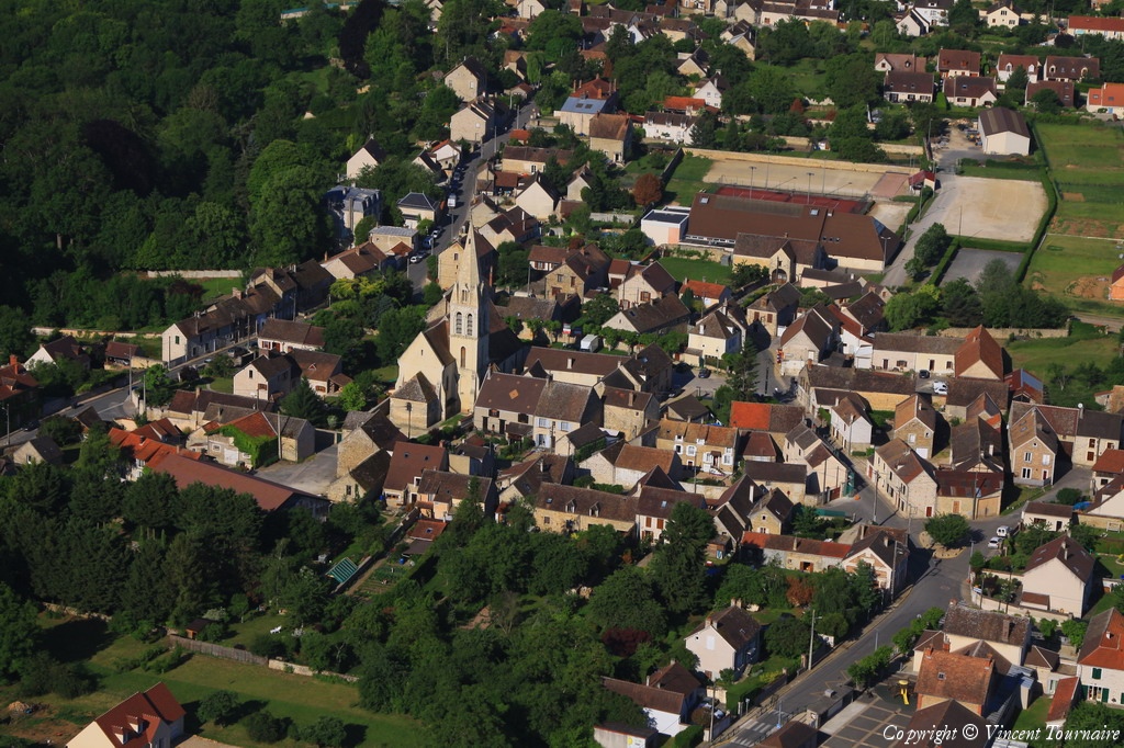
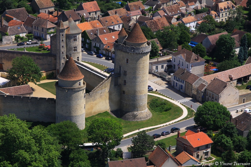
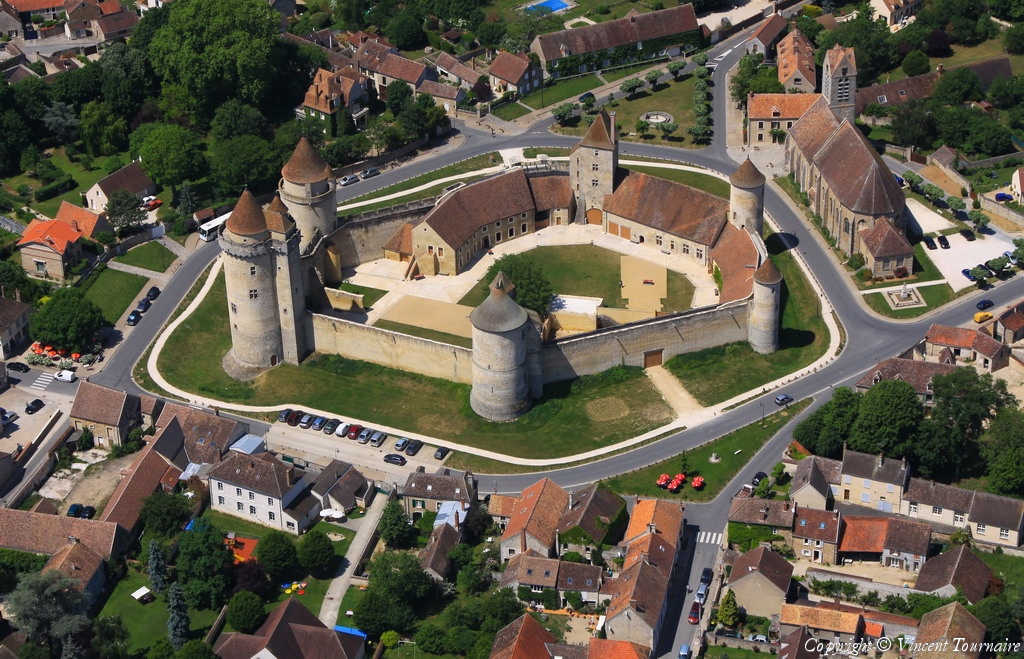
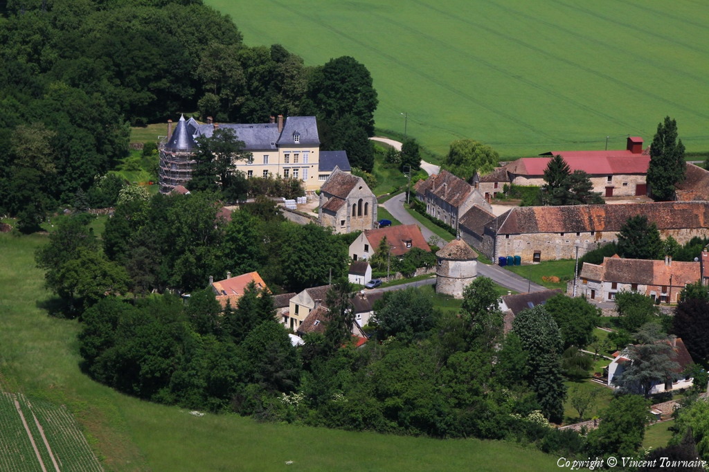
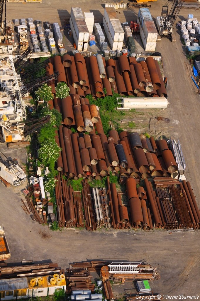
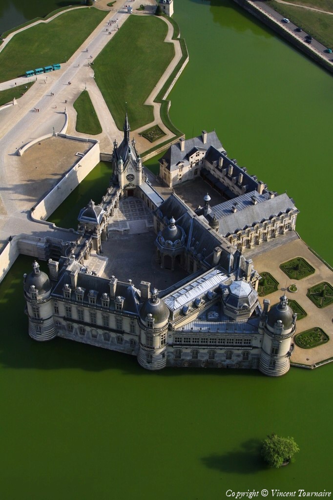
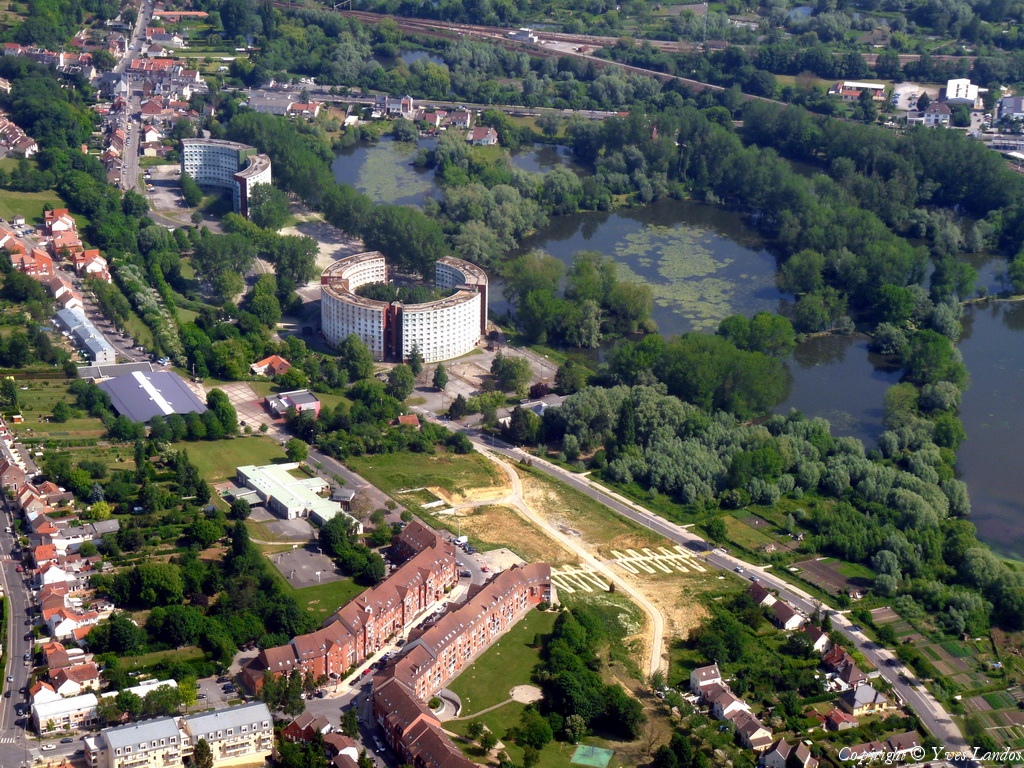
Pays :
France
Département :
Haute-Marne (52)
Lieu :
Saint-Dizier
Coord. GPS :
48 38 12 N 04 57 21 E
Photographe :
Michel Viard
Prise le :
05/06/2010
Vue 2094 fois (
0.57 fois/jour
)
Affiner la recherche
-
Situer sur la carte
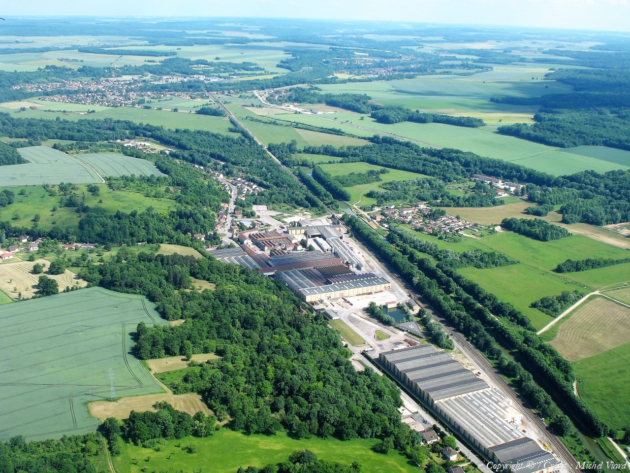
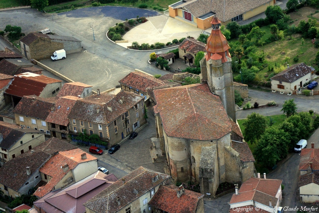
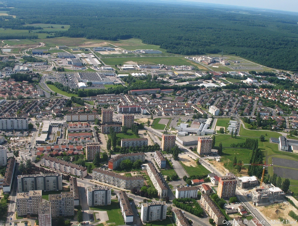
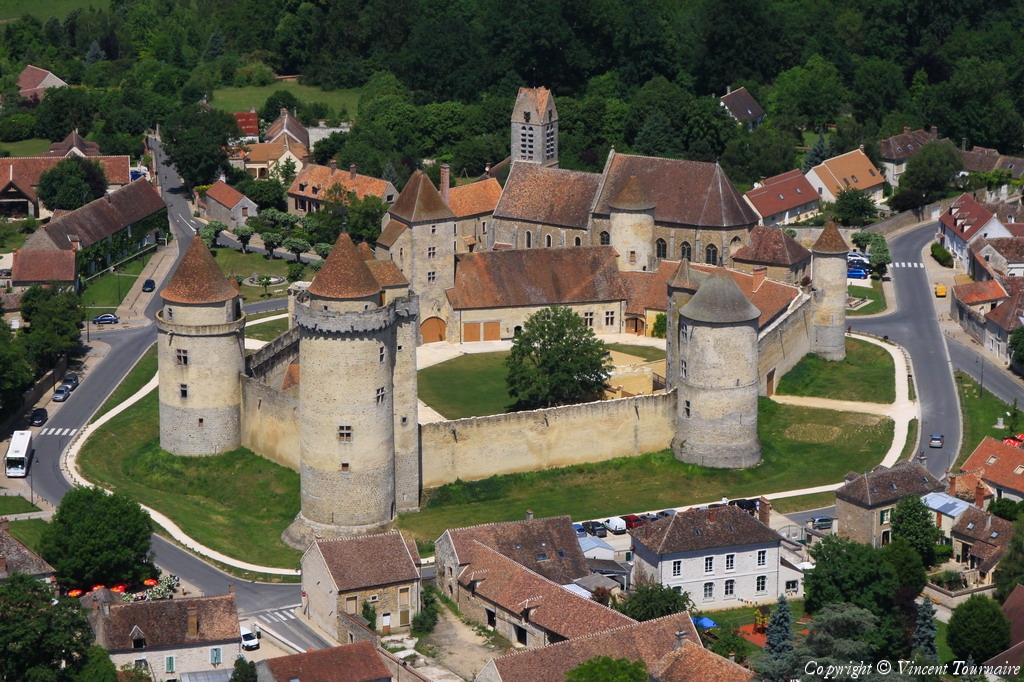
Pays :
France
Département :
Haute-Marne (52)
Lieu :
Saint-Dizier
Coord. GPS :
48 38 43 N 04 58 07 E
Photographe :
Michel Viard
Prise le :
05/06/2010
Vue 2318 fois (
0.64 fois/jour
)
Affiner la recherche
-
Situer sur la carte
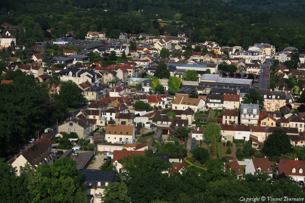
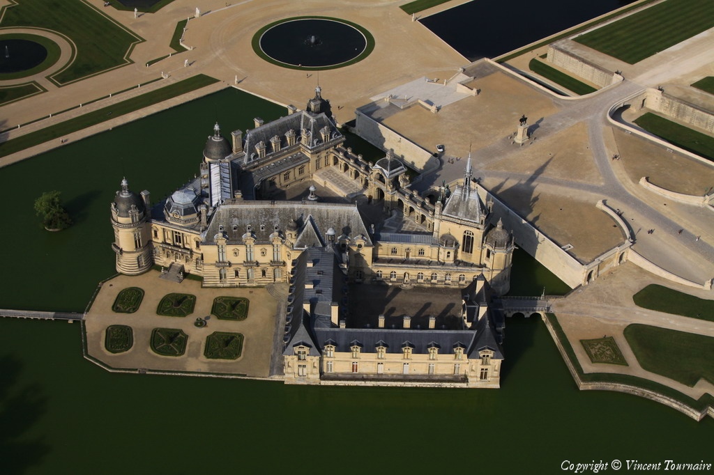
Pays :
France
Département :
Haute-Marne (52)
Lieu :
Saint-Dizier
Coord. GPS :
48 38 17 N 04 57 30 E
Photographe :
Michel Viard
Prise le :
05/06/2010
Vue 2168 fois (
0.60 fois/jour
)
Affiner la recherche
-
Situer sur la carte
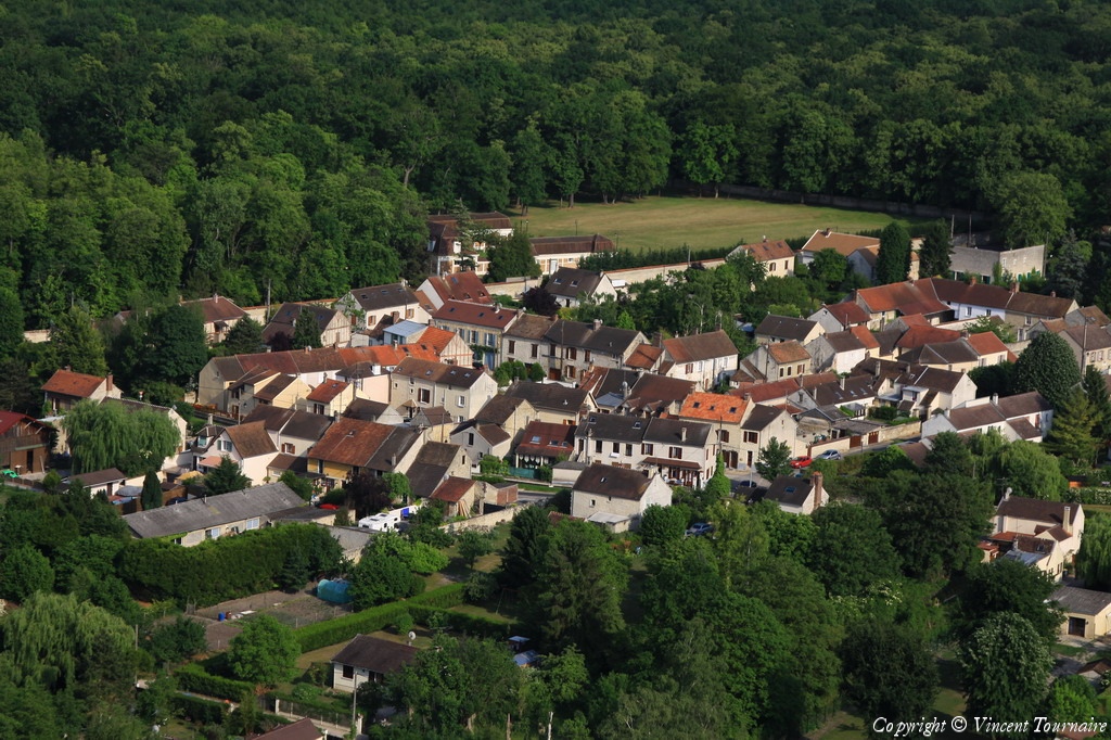
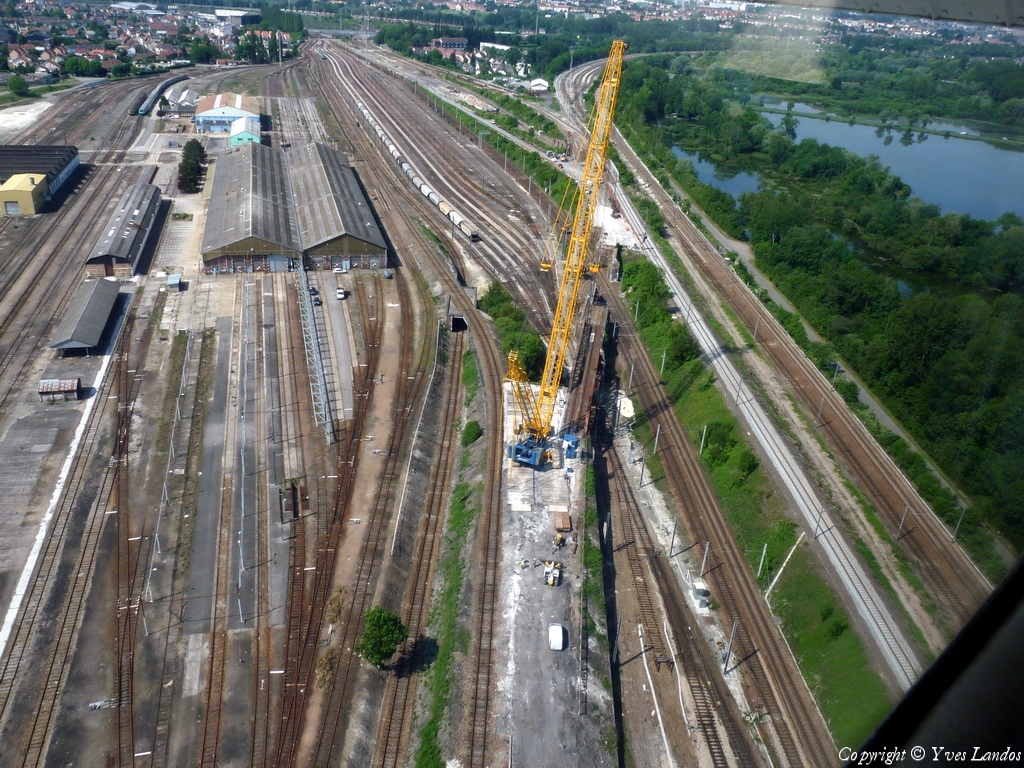
Pays :
France
Département :
Haute-Marne (52)
Lieu :
Laneuville-au-Pont
Coord. GPS :
48 37 44 N 04 51 31 E
Photographe :
Michel Viard
Prise le :
05/06/2010
Vue 2437 fois (
0.67 fois/jour
)
Affiner la recherche
-
Situer sur la carte
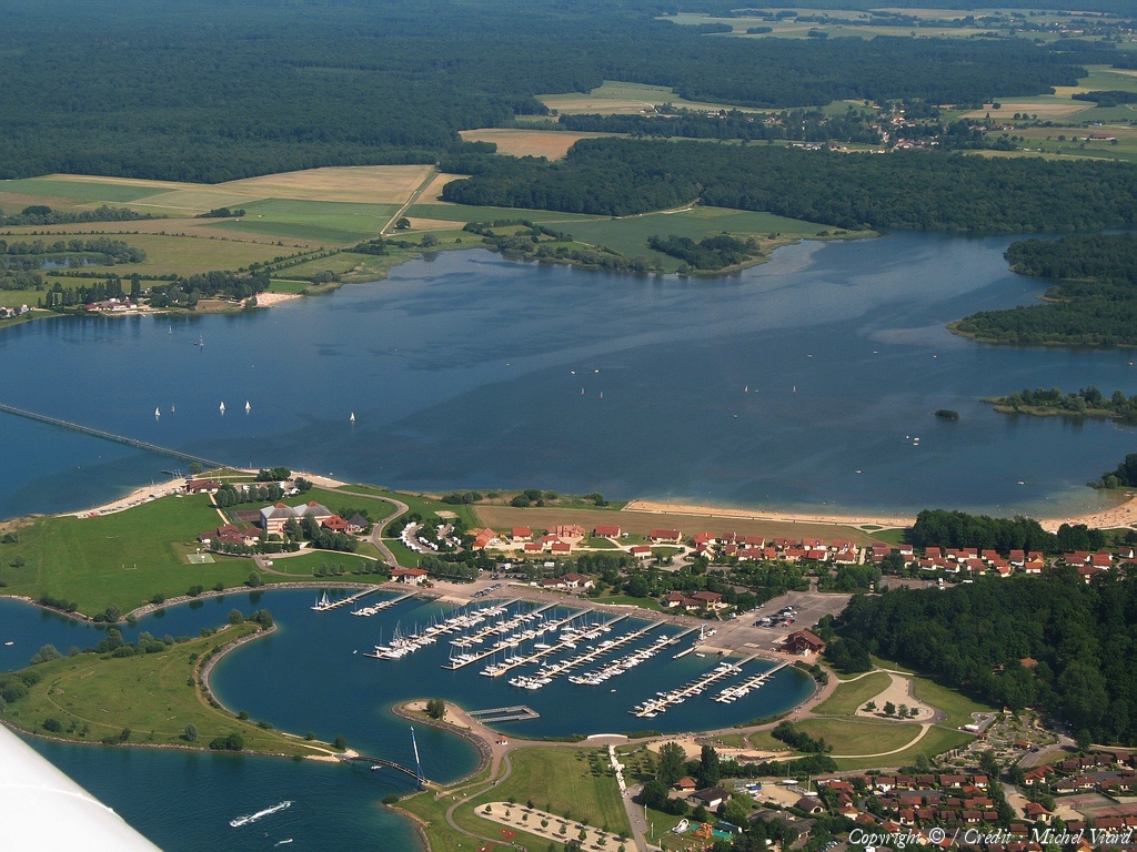
Pays :
France
Département :
Marne (51)
Lieu :
Lac du Der
Coord. GPS :
48 33 14 N 04 46 25 E
Photographe :
Michel Viard
Prise le :
05/06/2010
Vue 1925 fois (
0.53 fois/jour
)
Affiner la recherche
-
Situer sur la carte
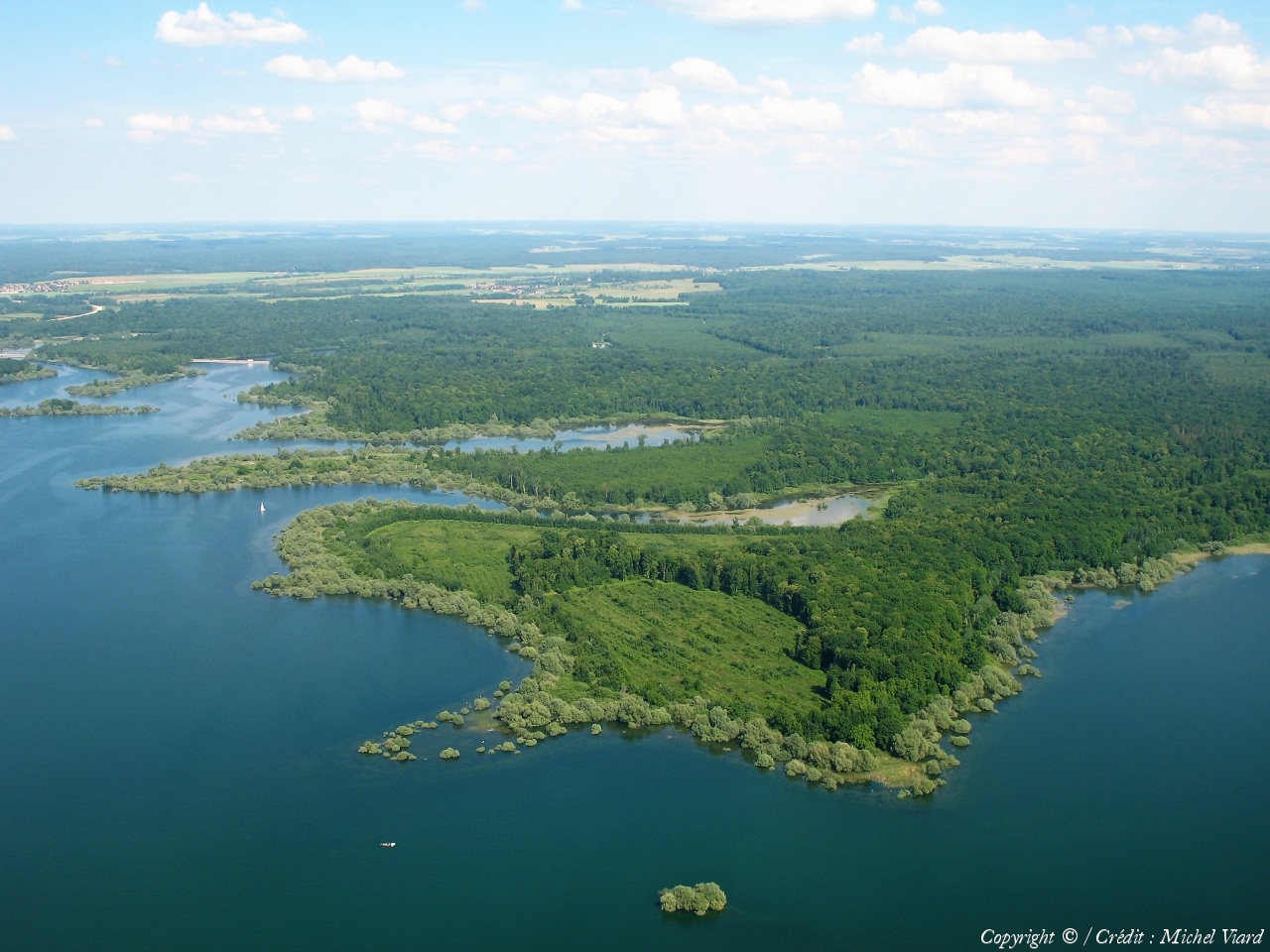
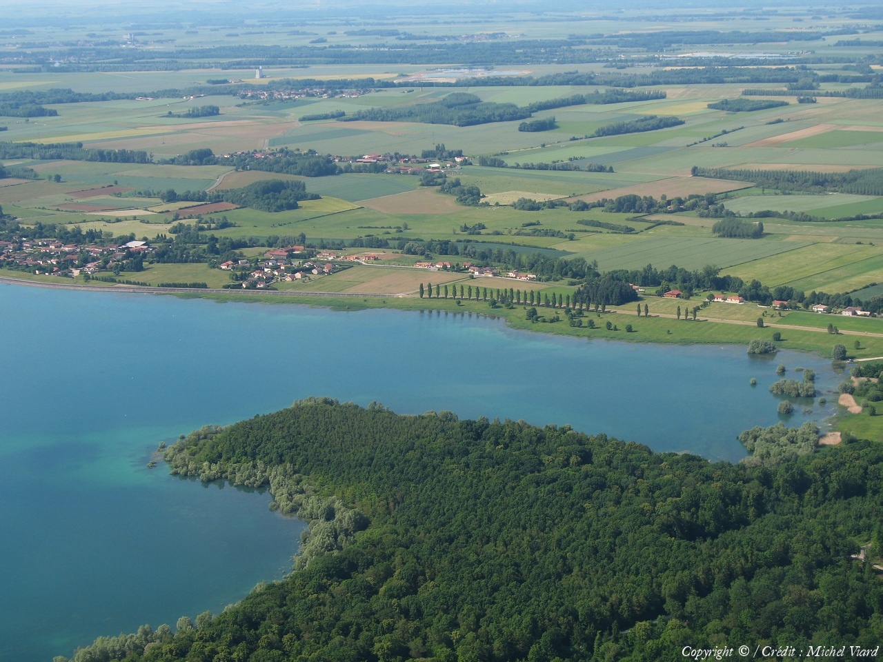
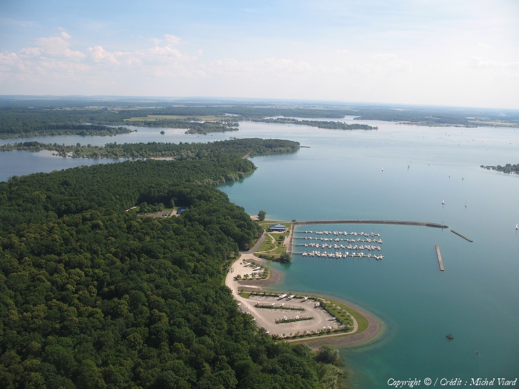
Pays :
France
Département :
Marne (51)
Lieu :
Lac du Der
Coord. GPS :
48 35 00 N 04 48 28 E
Photographe :
Michel Viard
Prise le :
05/06/2010
Vue 1830 fois (
0.50 fois/jour
)
Affiner la recherche
-
Situer sur la carte
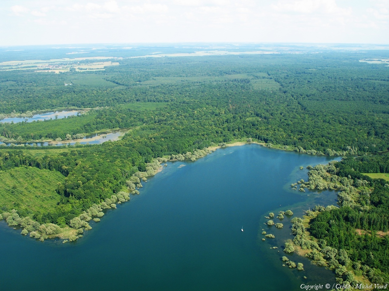
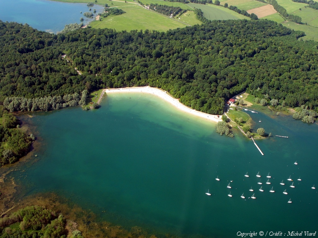
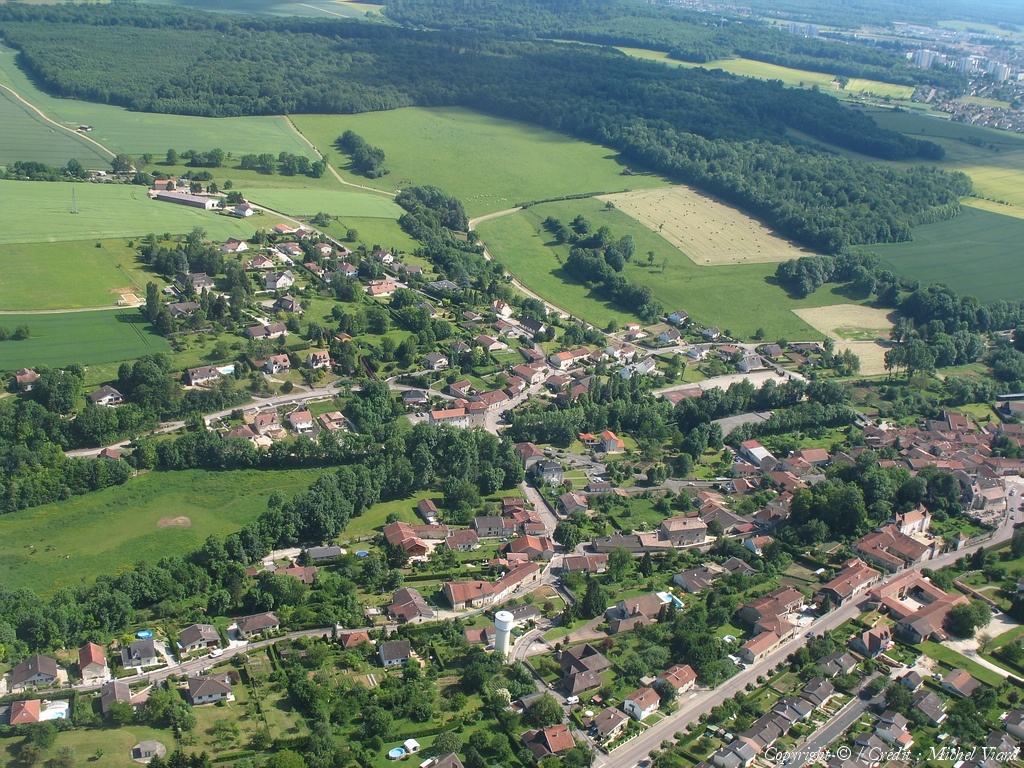
Pays :
France
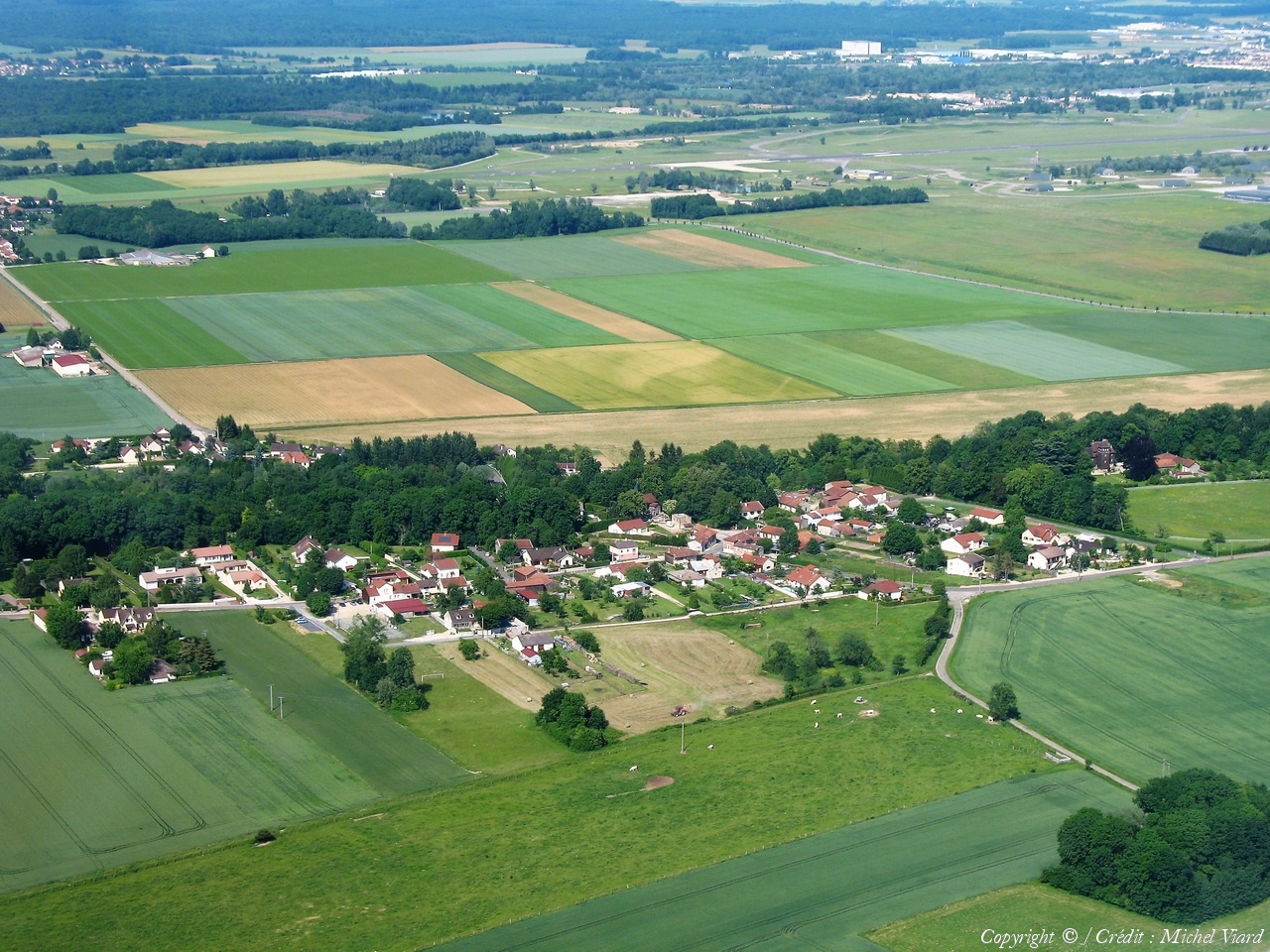
Département :
Haute-Marne (52)
Lieu :
Bettancourt-la-Ferrée
Coord. GPS :
48 39 10 N 04 58 29 E
Photographe :
Michel Viard
Prise le :
05/06/2010
Vue 1913 fois (
0.53 fois/jour
)
Affiner la recherche
-
Situer sur la carte
Pays :
France
Département :
Haute-Marne (52)
Lieu :
Bettancourt-la-Ferrée
Coord. GPS :
48 39 10 N 04 58 29 E
Photographe :
Michel Viard
Prise le :
05/06/2010
Vue 1823 fois (
0.50 fois/jour
)
Affiner la recherche
-
Situer sur la carte
Pays :
France
Département :
Haute-Marne (52)
Lieu :
Bettancourt-la-Ferrée
Coord. GPS :
48 39 10 N 04 58 29 E
Photographe :
Michel Viard
Prise le :
05/06/2010
Vue 1925 fois (
0.53 fois/jour
)
Affiner la recherche
-
Situer sur la carte
Pays :
France
Département :
Haute-Marne (52)
Lieu :
Bettancourt-la-Ferrée
Coord. GPS :
48 39 10 N 04 58 29 E
Photographe :
Michel Viard
Prise le :
05/06/2010
Vue 1932 fois (
0.53 fois/jour
)
Affiner la recherche
-
Situer sur la carte
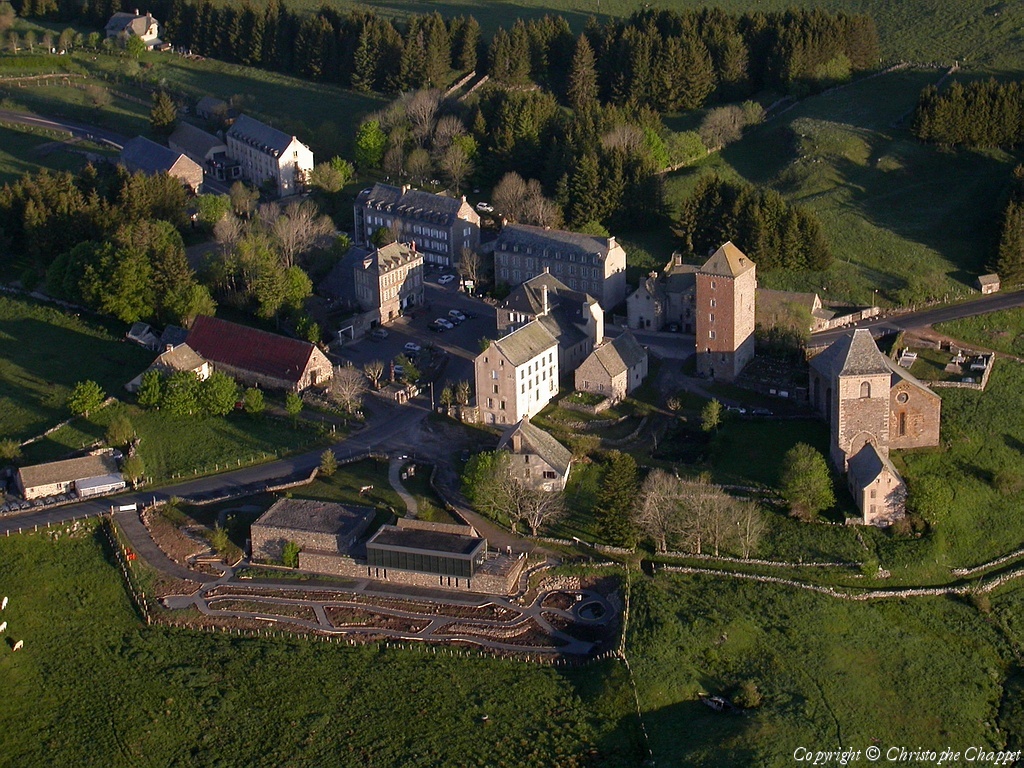
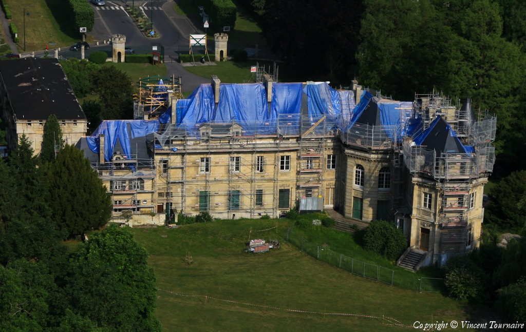
Pays :
France
Département :
Meuse (55)
Lieu :
Baudonvilliers
Coord. GPS :
48 41 19 N 05 00 56 E
Photographe :
Michel Viard
Prise le :
05/06/2010
Vue 1928 fois (
0.53 fois/jour
)
Affiner la recherche
-
Situer sur la carte
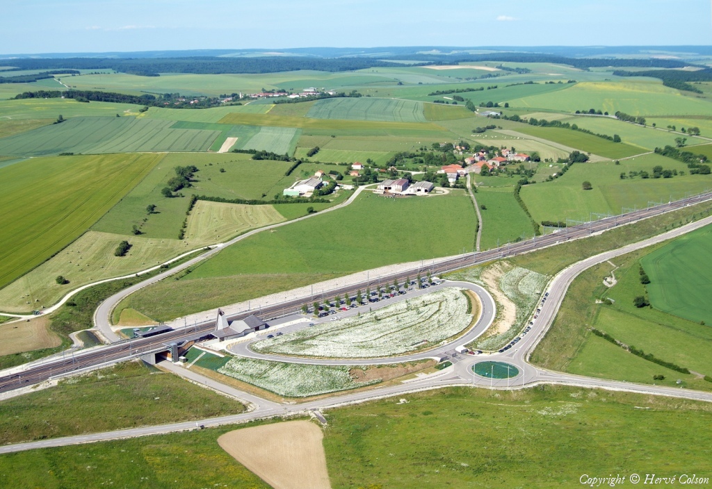
Pays :
France
Département :
Meuse (55)
Lieu :
Les Trois Domaines
Coord. GPS :
Non disponible
Photographe :
Hervé Colson
Prise le :
05/06/2010
Vue 1764 fois (
0.40 fois/jour
)
Affiner la recherche
Pays :
France
Département :
Meuse (55)
Lieu :
Les Trois Domaines
Coord. GPS :
Non disponible
Photographe :
Hervé Colson
Prise le :
05/06/2010
Vue 1580 fois (
0.36 fois/jour
)
Affiner la recherche
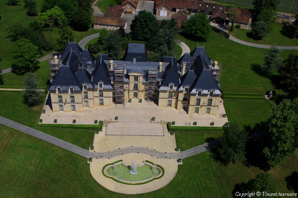
Pays :
France
Département :
Meurthe-et-Moselle (54)
Lieu :
Toul
Coord. GPS :
48 40 33 N 05 53 33 E
Photographe :
Hervé Colson
Prise le :
05/06/2010
Vue 2069 fois (
0.46 fois/jour
)
Affiner la recherche
-
Situer sur la carte
Pays :
France
Département :
Meurthe-et-Moselle (54)
Lieu :
Toul
Coord. GPS :
48 40 33 N 05 53 33 E
Photographe :
Hervé Colson
Prise le :
05/06/2010
Vue 2420 fois (
0.54 fois/jour
)
Affiner la recherche
-
Situer sur la carte
Pays :
France
Département :
Meurthe-et-Moselle (54)
Lieu :
Toul
Coord. GPS :
48 40 33 N 05 53 33 E
Photographe :
Hervé Colson
Prise le :
05/06/2010
Vue 2011 fois (
0.45 fois/jour
)
Affiner la recherche
-
Situer sur la carte
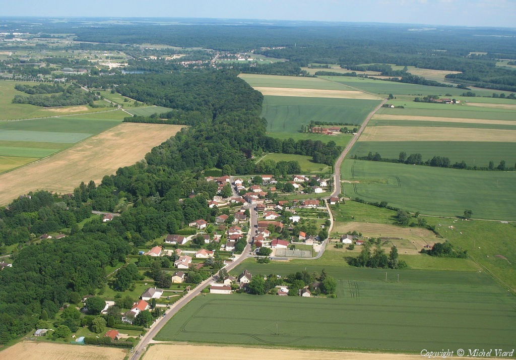
Pays :
France
Département :
Haute-Marne (52)
Lieu :
Sainte-Livière
Coord. GPS :
48 35 59 N 04 49 24 E
Photographe :
Michel Viard
Prise le :
05/06/2010
Vue 2243 fois (
0.46 fois/jour
)
Affiner la recherche
-
Situer sur la carte
Première page
Page précédente
1
2
3
4
5
6
7
8
9
10
11
Page suivante
Dernière page
Droits réservés - Copyright ©
Survol de France
Site en ligne depuis le 28 octobre 2004
622 visiteurs en ligne
-
3205 visiteurs aujourd'hui
Information sur la confidentialité
-
Mentions légales
Mesure d'audience ROI frequentation par


