Vous devez activer Javascript pour pouvoir afficher correctement cette page !
Accueil / Recherche
|
Les photos en France
|
Les photos des autres pays
|
Envoyer vos photos
|
Le TOP 20
Conditions d'utilisation
|
Google Maps
|
Formulaire de contact
|
Nouvelles photos ajoutées
|
Newsletter
Publicité :
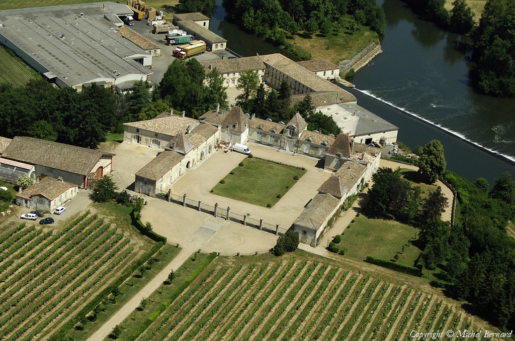
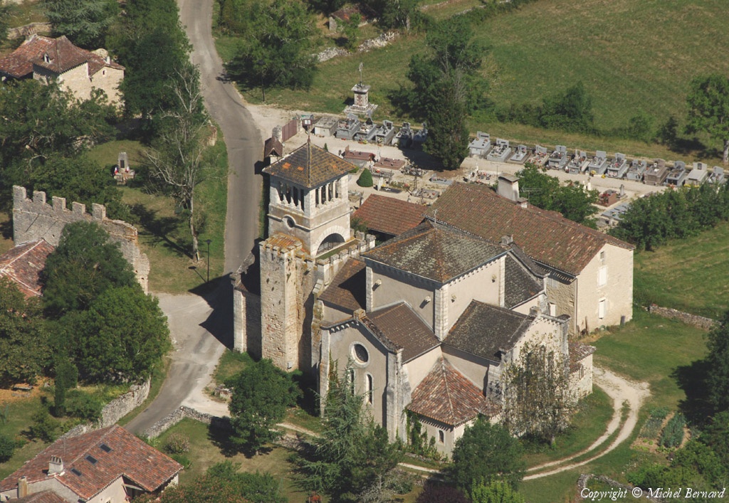
Nombre de photo(s) :
59
Lancer le
diaporama
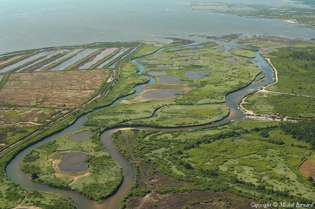
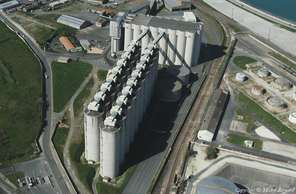
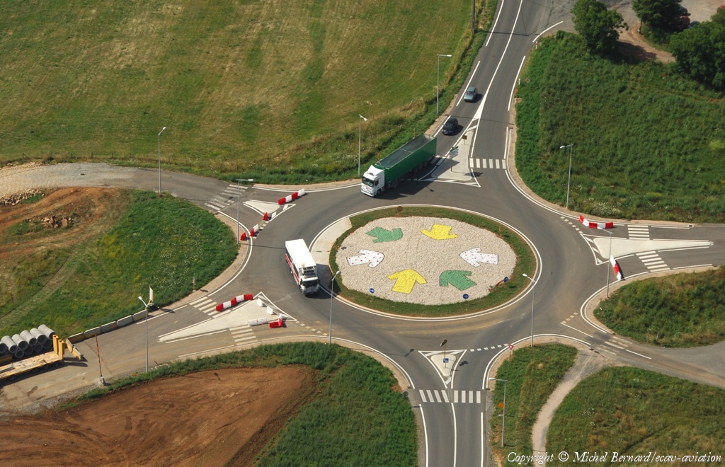
Pays :
France
Département :
Charente-Maritime (17)
Lieu :
Sainte-Gemme
Coord. GPS :
45 46 09 N 00 55 45 W
Photographe :
Michel Bernard
Prise le :
20/06/2008
Vue 2471 fois (
0.44 fois/jour
)
Affiner la recherche
-
Situer sur la carte
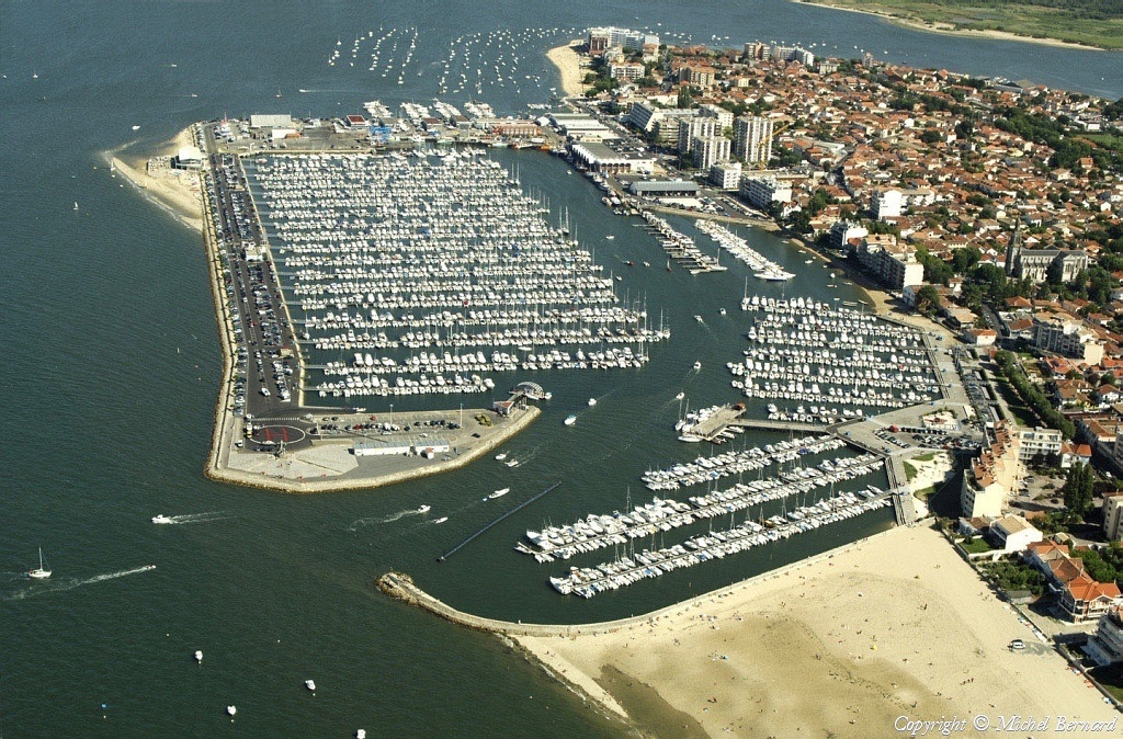
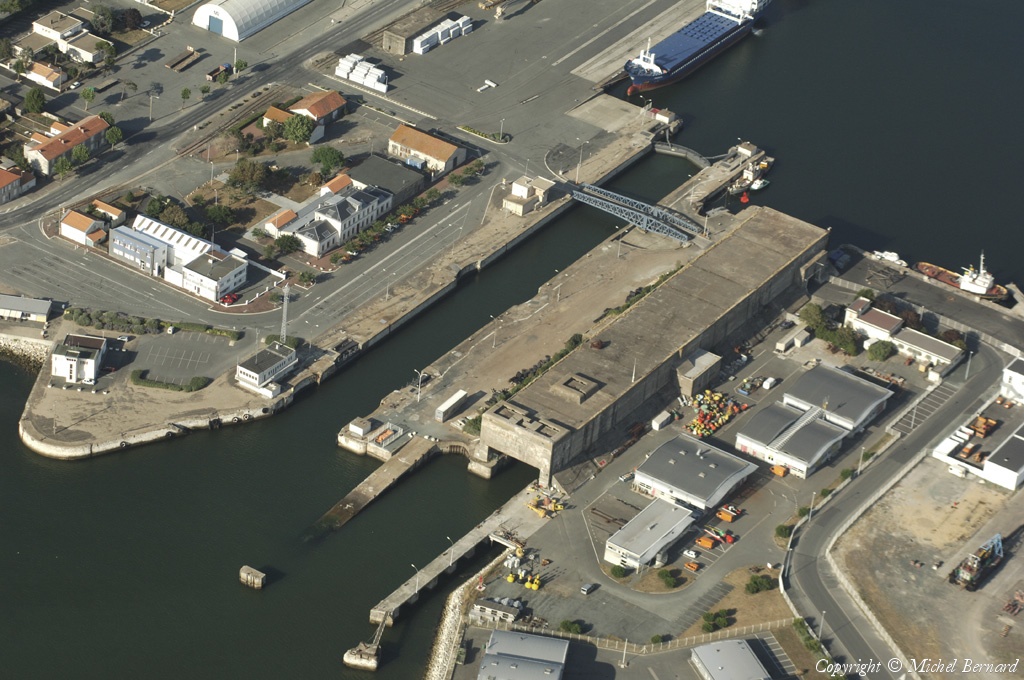
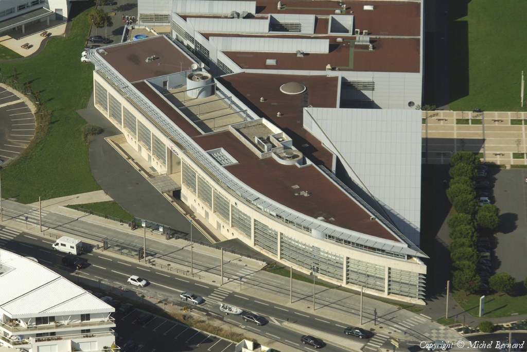
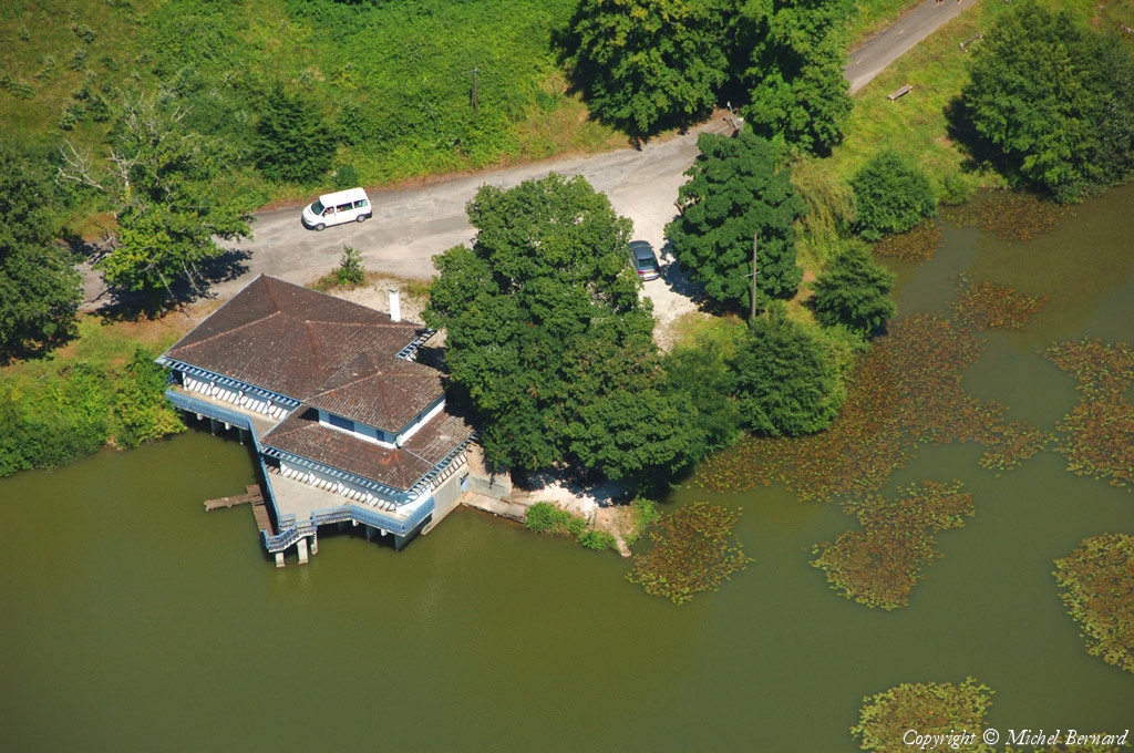
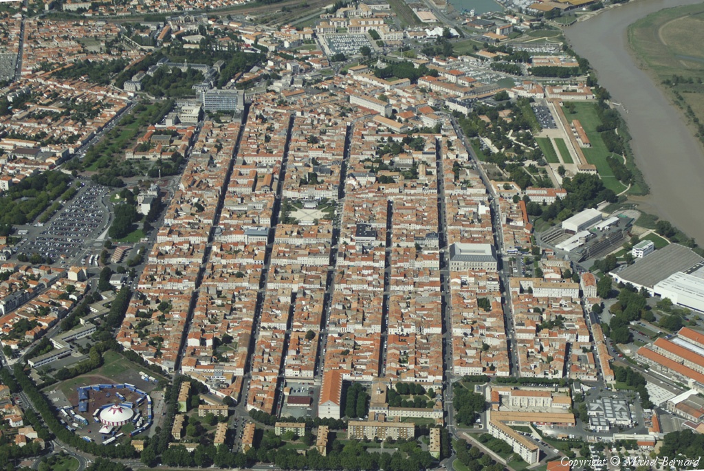
Pays :
France
Département :
Charente-Maritime (17)
Lieu :
La Rochelle
Coord. GPS :
46 09 23 N 01 09 02 W
Photographe :
Michel Bernard
Prise le :
18/07/2008
Vue 3198 fois (
0.57 fois/jour
)
Affiner la recherche
-
Situer sur la carte
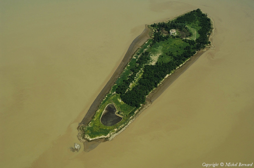
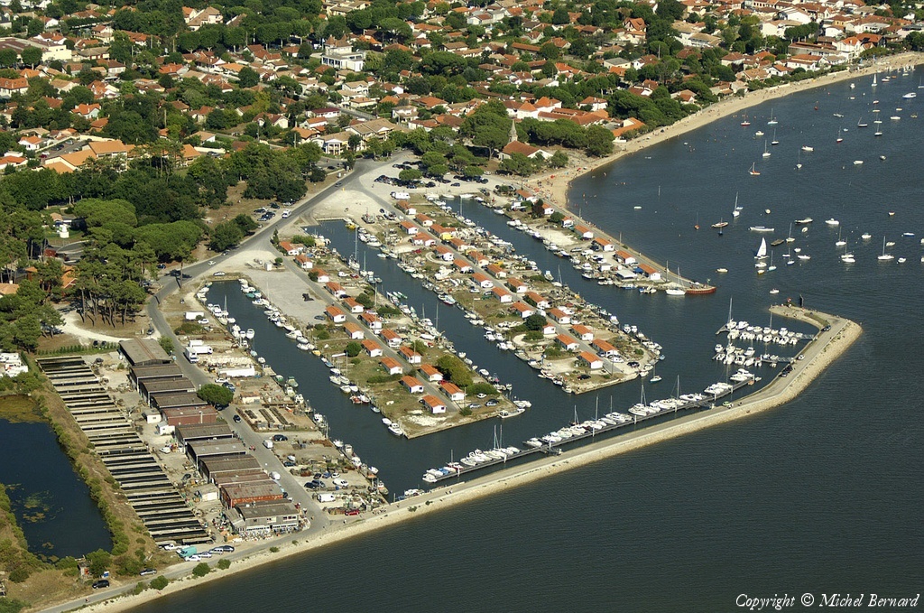
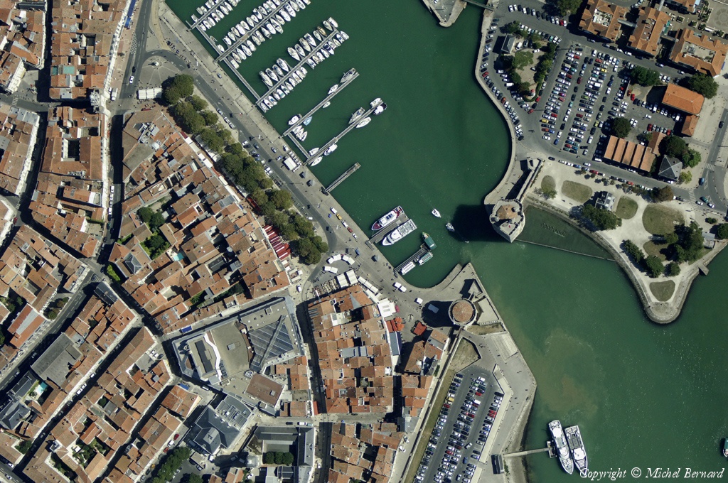
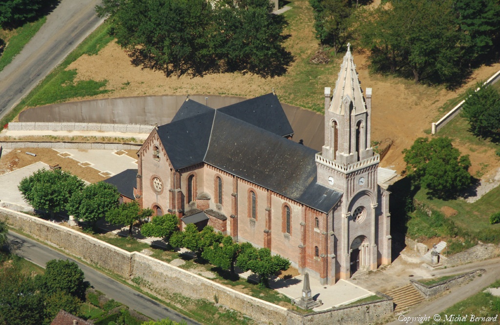
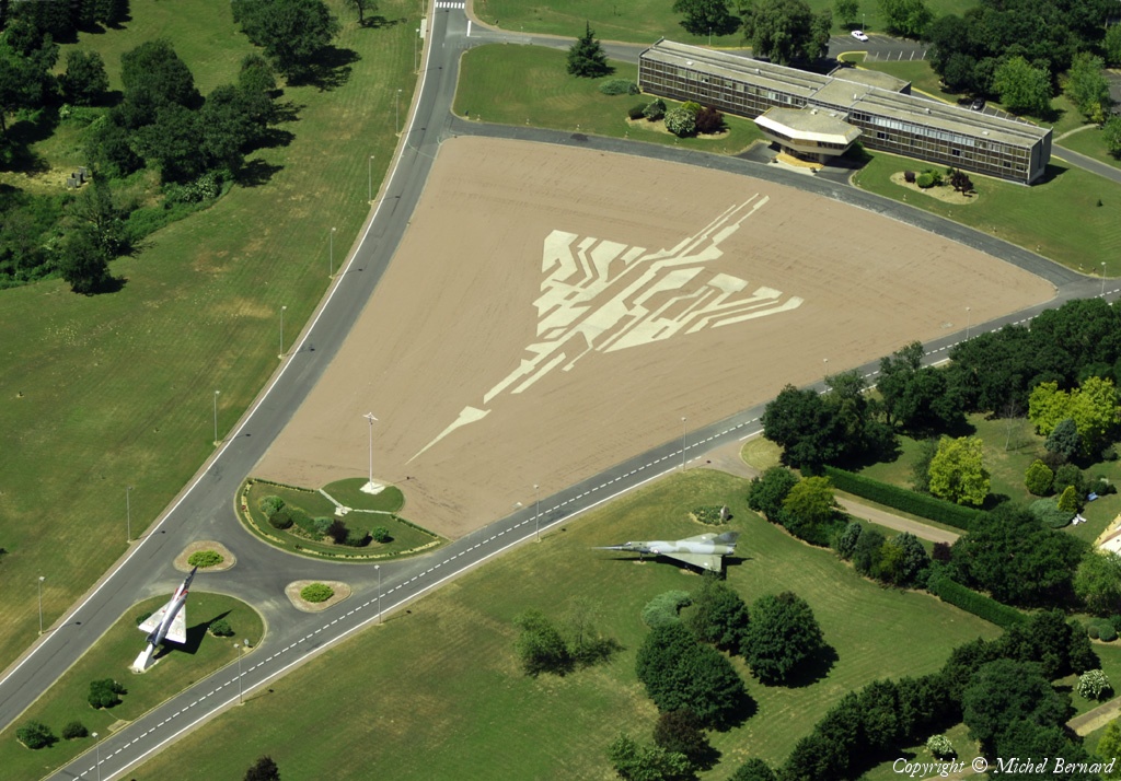
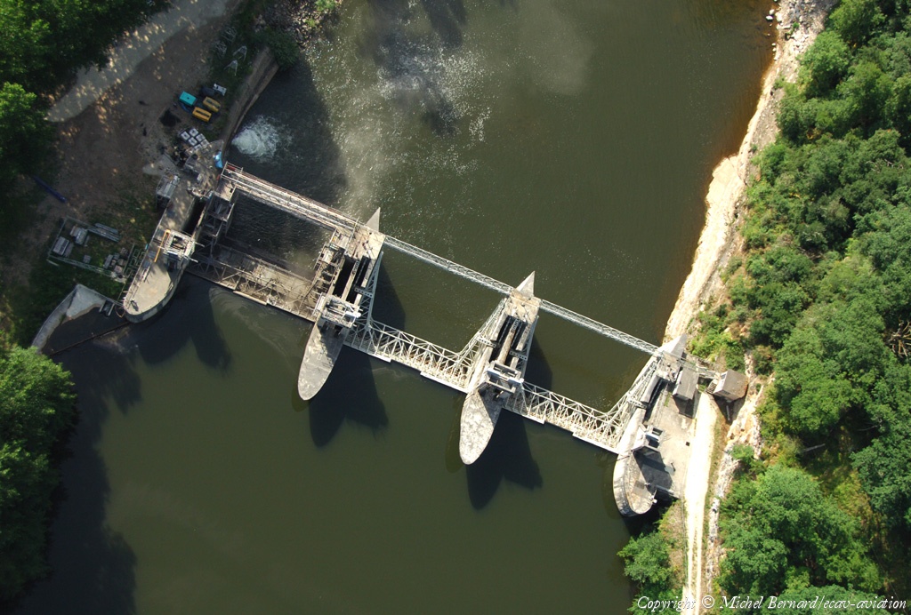
Pays :
France
Département :
Charente-Maritime (17)
Lieu :
La Rochelle
Coord. GPS :
46 09 27 N 01 14 30 W
Photographe :
Michel Bernard
Prise le :
20/04/2007
Vue 2779 fois (
0.50 fois/jour
)
Affiner la recherche
-
Situer sur la carte
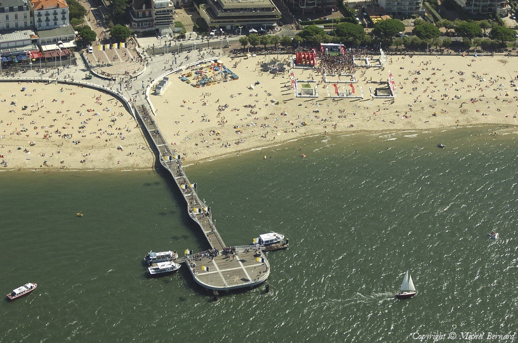
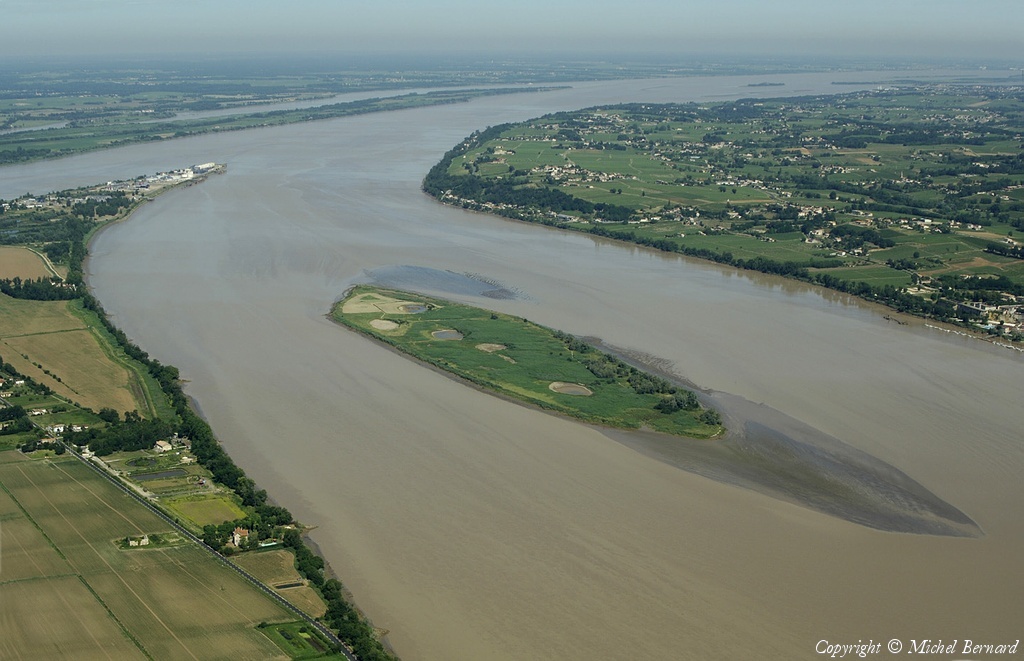
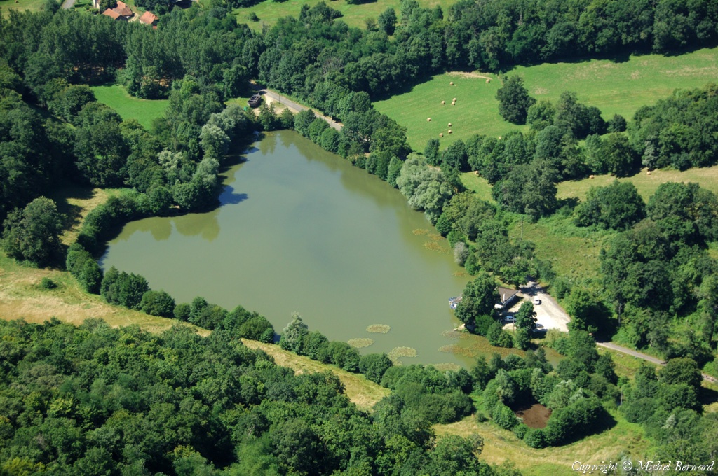
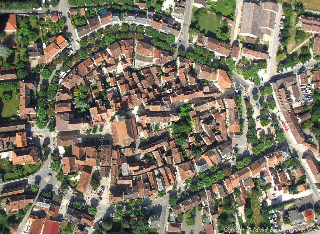
Pays :
France
Département :
Charente-Maritime (17)
Lieu :
La Rochelle
Coord. GPS :
46 09 30 N 01 12 34 W
Photographe :
Michel Bernard
Prise le :
23/07/2006
Vue 3514 fois (
0.63 fois/jour
)
Affiner la recherche
-
Situer sur la carte
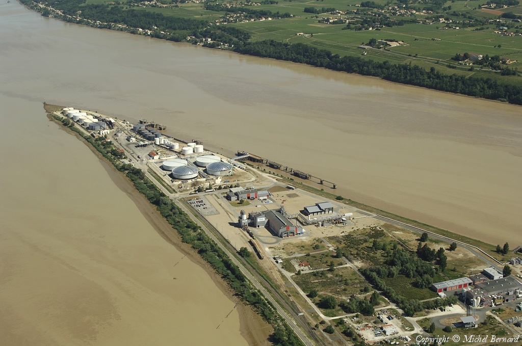
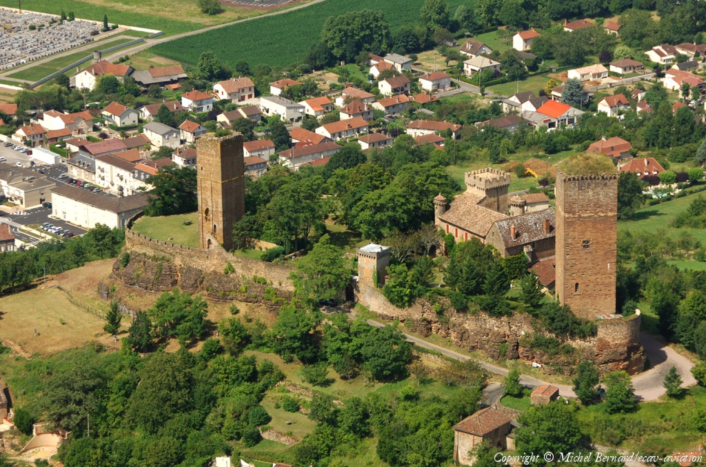
Pays :
France
Département :
Charente-Maritime (17)
Lieu :
La Rochelle
Coord. GPS :
46 09 29 N 01 13 10 W
Photographe :
Michel Bernard
Prise le :
23/07/2006
Vue 2831 fois (
0.51 fois/jour
)
Affiner la recherche
-
Situer sur la carte
Pays :
France
Département :
Charente-Maritime (17)
Lieu :
La Rochelle
Coord. GPS :
46 09 21 N 01 09 12 W
Photographe :
Michel Bernard
Prise le :
29/01/2007
Vue 4096 fois (
0.73 fois/jour
)
Affiner la recherche
-
Situer sur la carte
Pays :
France
Département :
Charente-Maritime (17)
Lieu :
La Rochelle
Coord. GPS :
46 08 21 N 01 09 29 W
Photographe :
Michel Bernard
Prise le :
11/04/2006
Vue 2787 fois (
0.50 fois/jour
)
Affiner la recherche
-
Situer sur la carte
Pays :
France
Département :
Charente-Maritime (17)
Lieu :
La Rochelle
Coord. GPS :
46 09 21 N 01 09 12 W
Photographe :
Michel Bernard
Prise le :
04/09/2007
Vue 3579 fois (
0.64 fois/jour
)
Affiner la recherche
-
Situer sur la carte
Pays :
France
Département :
Charente-Maritime (17)
Lieu :
La Rochelle
Coord. GPS :
46 10 46 N 01 11 47 W
Photographe :
Michel Bernard
Prise le :
20/04/2007
Vue 2621 fois (
0.47 fois/jour
)
Affiner la recherche
-
Situer sur la carte
Pays :
France
Département :
Charente-Maritime (17)
Lieu :
La Rochelle
Coord. GPS :
46 10 02 N 01 12 55 W
Photographe :
Michel Bernard
Prise le :
20/04/2006
Vue 2107 fois (
0.38 fois/jour
)
Affiner la recherche
-
Situer sur la carte
Pays :
France
Département :
Charente-Maritime (17)
Lieu :
La Rochelle
Coord. GPS :
46 08 22 N 01 09 16 W
Photographe :
Michel Bernard
Prise le :
04/09/2006
Vue 2452 fois (
0.45 fois/jour
)
Affiner la recherche
-
Situer sur la carte
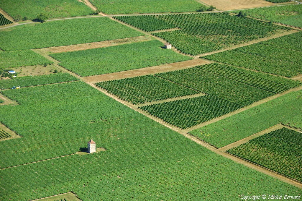
Pays :
France
Département :
Lot (46)
Lieu :
Bétaille
Coord. GPS :
44 56 39 N 01 44 08 E
Photographe :
Michel Bernard
Prise le :
21/07/2008
Vue 3083 fois (
0.55 fois/jour
)
Affiner la recherche
-
Situer sur la carte
Pays :
France
Département :
Lot (46)
Lieu :
Brengues
Coord. GPS :
44 34 57 N 01 50 02 E
Photographe :
Michel Bernard
Prise le :
22/07/2008
Vue 3205 fois (
0.57 fois/jour
)
Affiner la recherche
-
Situer sur la carte
Pays :
France
Département :
Lot (46)
Lieu :
Assier
Coord. GPS :
44 40 01 N 01 52 22 E
Photographe :
Michel Bernard
Prise le :
23/07/2008
Vue 3321 fois (
0.59 fois/jour
)
Affiner la recherche
-
Situer sur la carte
Pays :
France
Département :
Lot (46)
Lieu :
Alvignac
Coord. GPS :
44 50 16 N 01 41 59 E
Photographe :
Michel Bernard
Prise le :
21/07/2008
Vue 2942 fois (
0.53 fois/jour
)
Affiner la recherche
-
Situer sur la carte
Pays :
France
Département :
Lot (46)
Lieu :
Berganty
Coord. GPS :
44 26 19 N 01 36 14 E
Photographe :
Michel Bernard
Prise le :
21/07/2008
Vue 2513 fois (
0.45 fois/jour
)
Affiner la recherche
-
Situer sur la carte
Pays :
France
Département :
Lot (46)
Lieu :
Bouziès
Coord. GPS :
44 29 03 N 01 38 35 E
Photographe :
Michel Bernard
Prise le :
21/07/2008
Vue 3078 fois (
0.55 fois/jour
)
Affiner la recherche
-
Situer sur la carte
Pays :
France
Département :
Lot (46)
Lieu :
Bouziès
Coord. GPS :
44 29 03 N 01 38 35 E
Photographe :
Michel Bernard
Prise le :
21/07/2008
Vue 3940 fois (
0.70 fois/jour
)
Affiner la recherche
-
Situer sur la carte
Pays :
France
Département :
Lot (46)
Lieu :
Bouziès
Coord. GPS :
44 29 03 N 01 38 35 E
Photographe :
Michel Bernard
Prise le :
21/07/2008
Vue 3991 fois (
0.71 fois/jour
)
Affiner la recherche
-
Situer sur la carte
Pays :
France
Département :
Lot (46)
Lieu :
Bétaille
Coord. GPS :
44 56 38 N 01 44 15 E
Photographe :
Michel Bernard
Prise le :
22/07/2008
Vue 3516 fois (
0.63 fois/jour
)
Affiner la recherche
-
Situer sur la carte
Première page
Page précédente
1
2
3
Page suivante
Dernière page
Droits réservés - Copyright ©
Survol de France
Site en ligne depuis le 28 octobre 2004
336 visiteurs en ligne
-
1218 visiteurs aujourd'hui
Information sur la confidentialité
-
Mentions légales
Mesure d'audience ROI frequentation par


