Vous devez activer Javascript pour pouvoir afficher correctement cette page !
Accueil / Recherche
|
Les photos en France
|
Les photos des autres pays
|
Envoyer vos photos
|
Le TOP 20
Conditions d'utilisation
|
Google Maps
|
Formulaire de contact
|
Nouvelles photos ajoutées
|
Newsletter
Publicité :
Nombre de photo(s) :
44
Lancer le
diaporama
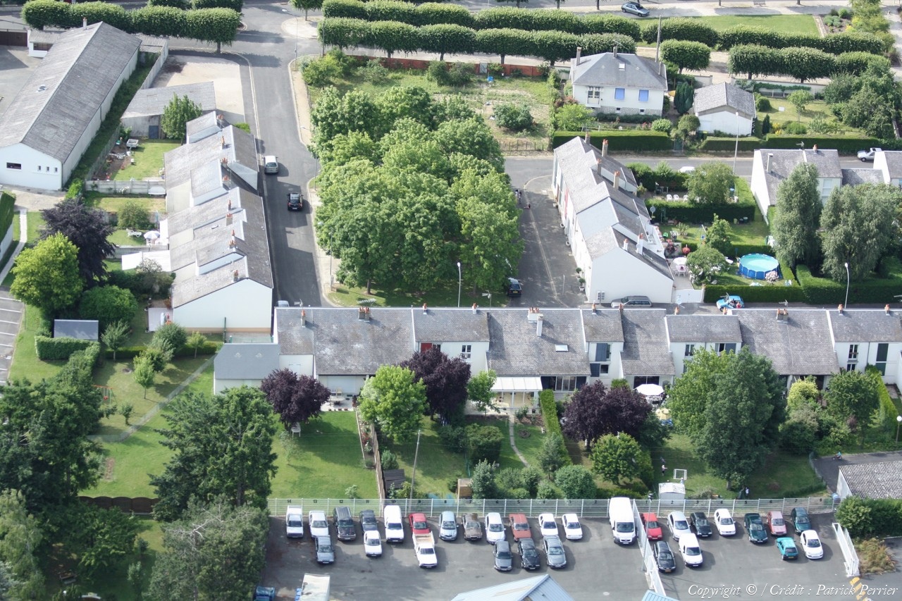
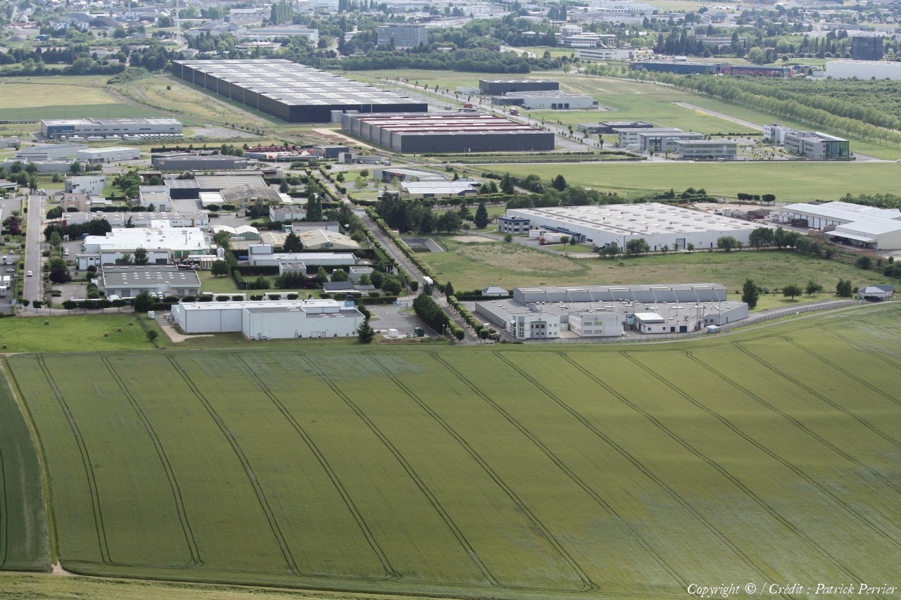
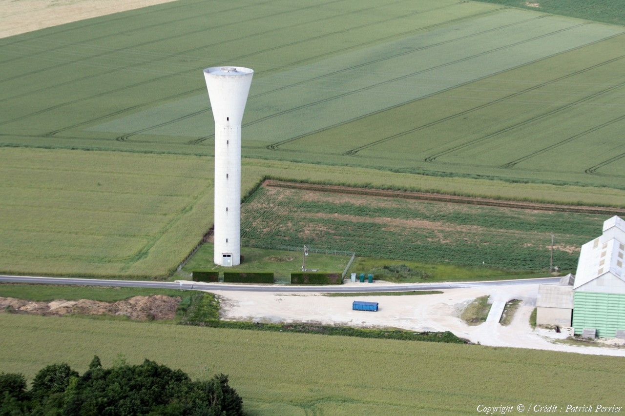
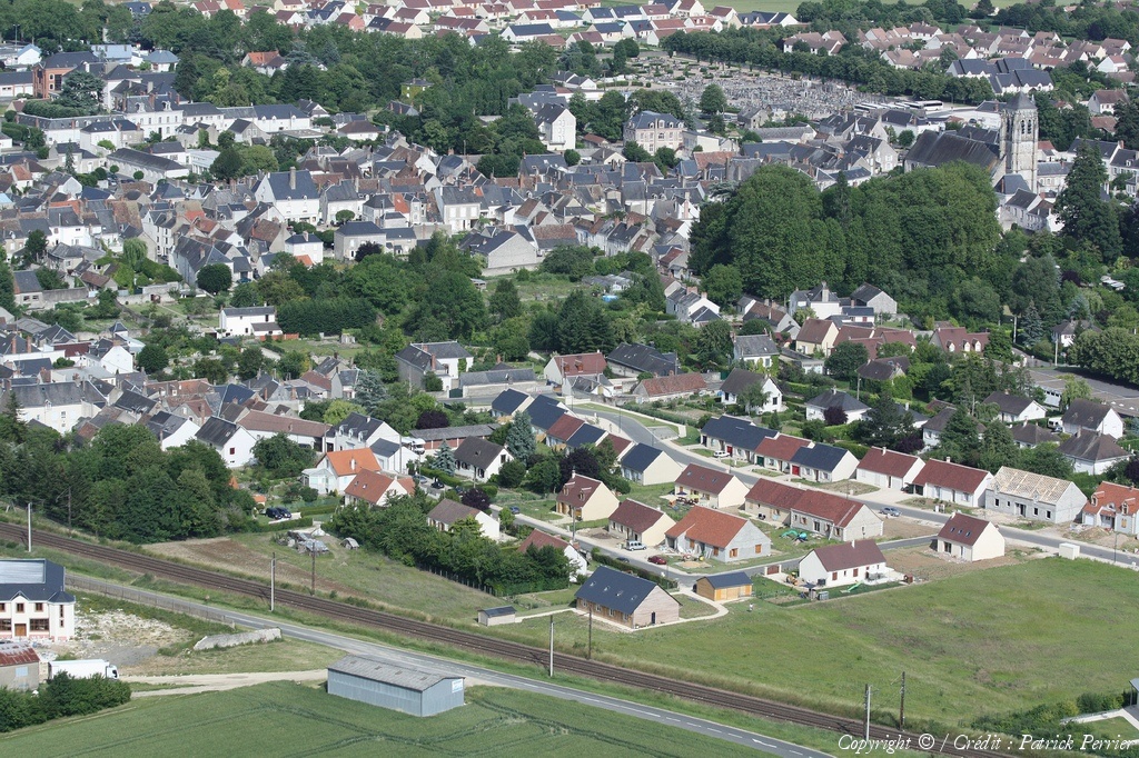
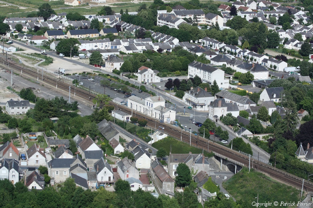
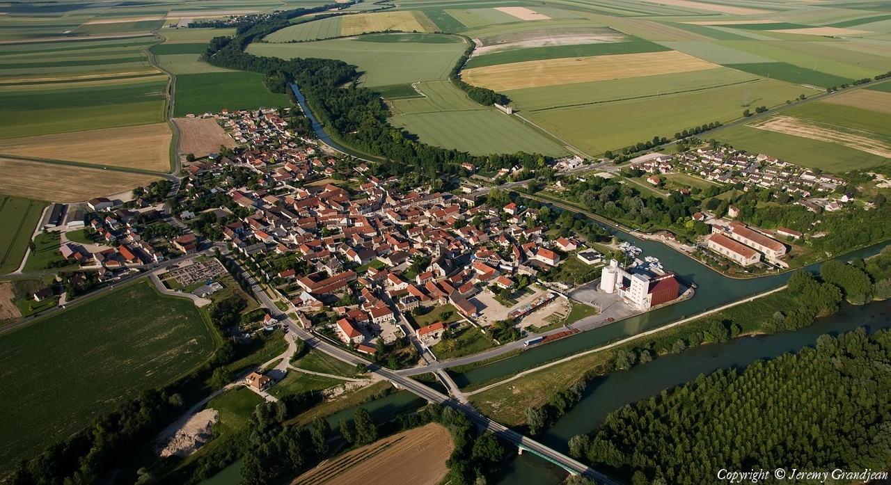
Pays :
France
Département :
Loir-et-Cher (41)
Lieu :
Saint-Dyé-sur-Loire
Coord. GPS :
47 39 19 N 01 29 14 E
Photographe :
Patrick Perrier
Prise le :
13/06/2009
Vue 1104 fois (
0.89 fois/jour
)
Affiner la recherche
-
Situer sur la carte
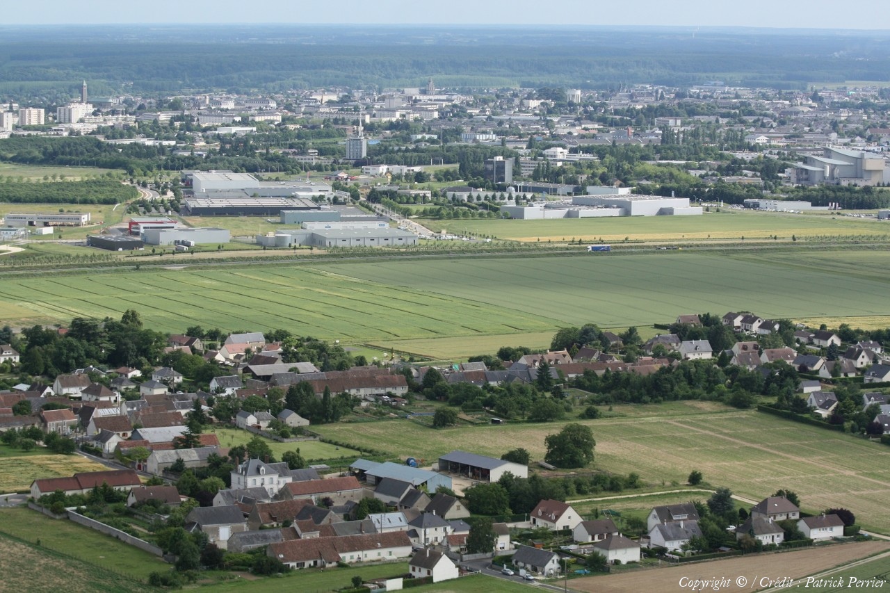
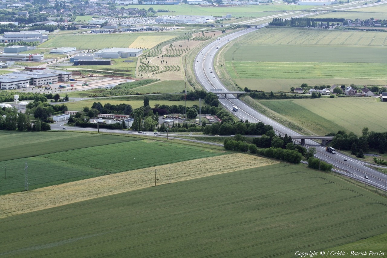
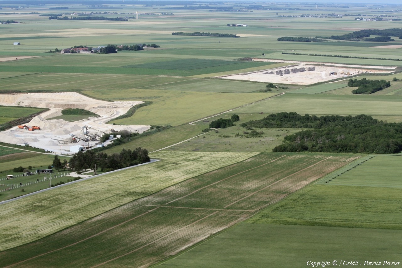
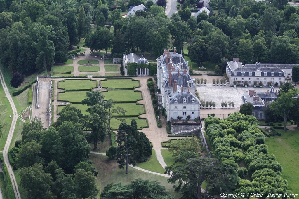
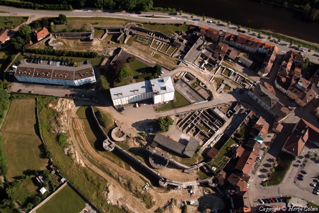
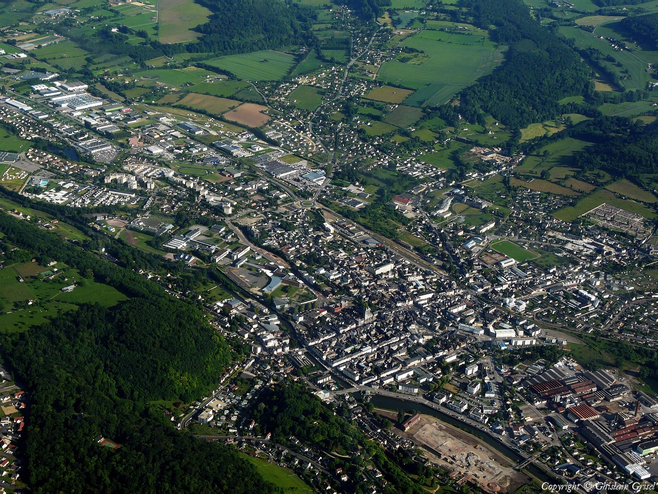
Pays :
France
Département :
Loir-et-Cher (41)
Lieu :
Blois
Coord. GPS :
47 40 46 N 01 12 20 E
Photographe :
Patrick Perrier
Prise le :
13/06/2009
Vue 1047 fois (
0.84 fois/jour
)
Affiner la recherche
-
Situer sur la carte
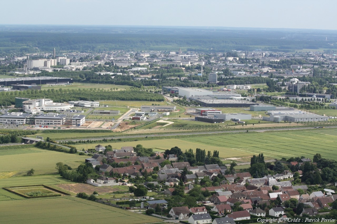
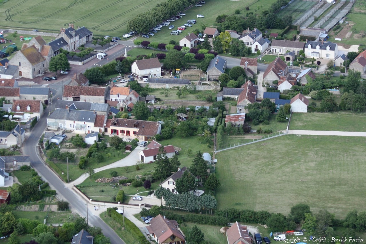
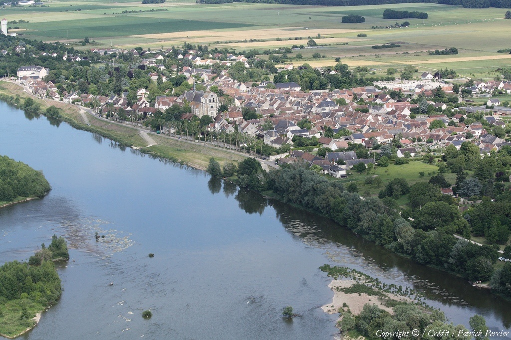
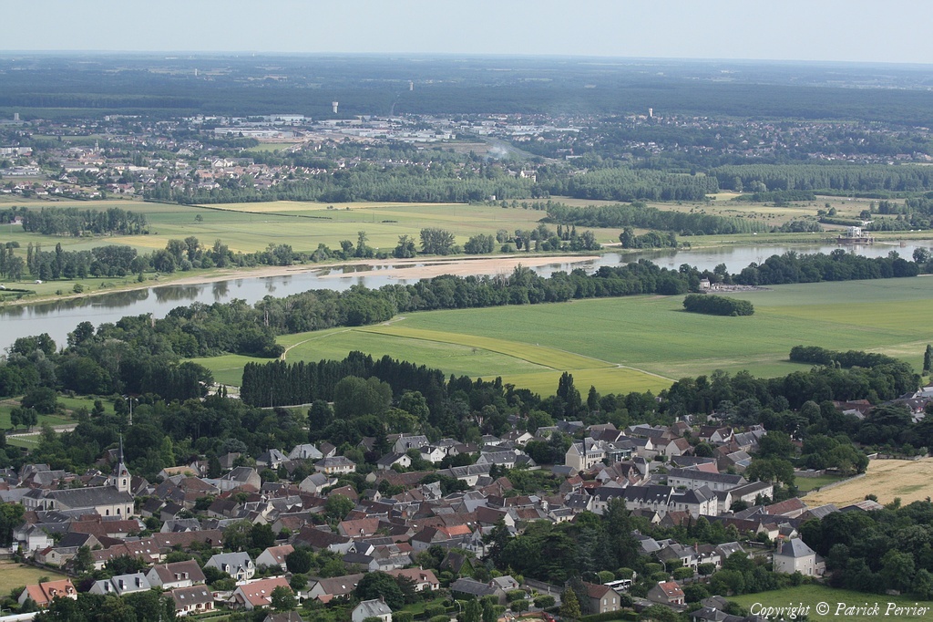
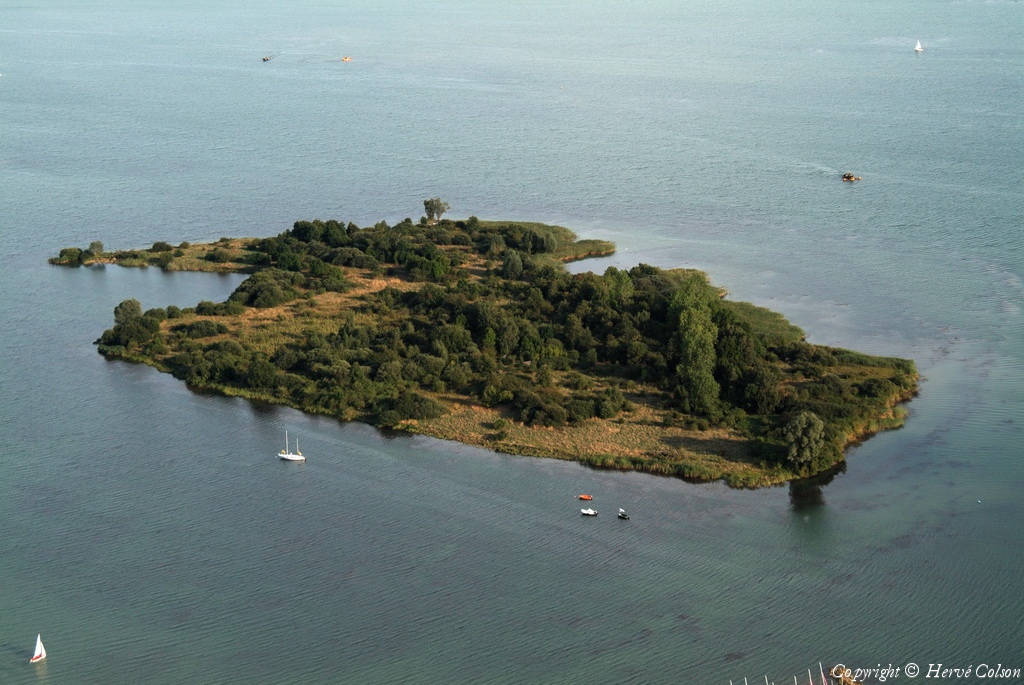
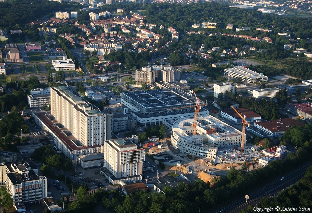
Pays :
France
Département :
Loir-et-Cher (41)
Lieu :
Mer
Coord. GPS :
47 42 01 N 01 30 36 E
Photographe :
Patrick Perrier
Prise le :
13/06/2009
Vue 1178 fois (
0.95 fois/jour
)
Affiner la recherche
-
Situer sur la carte
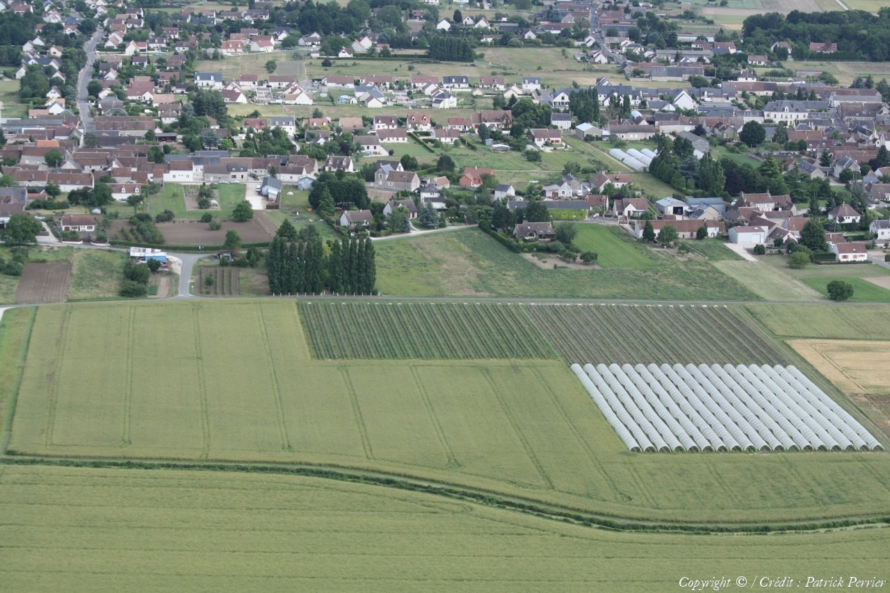
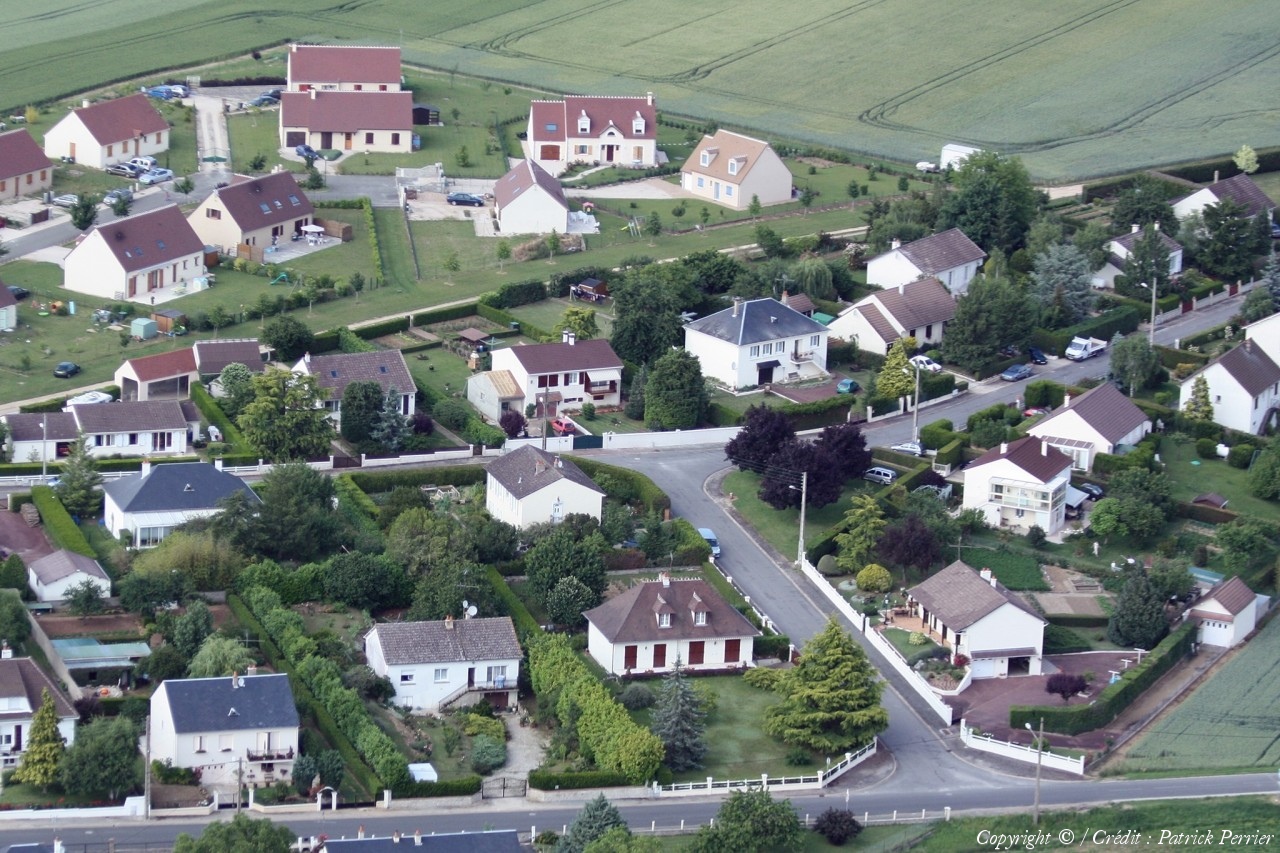
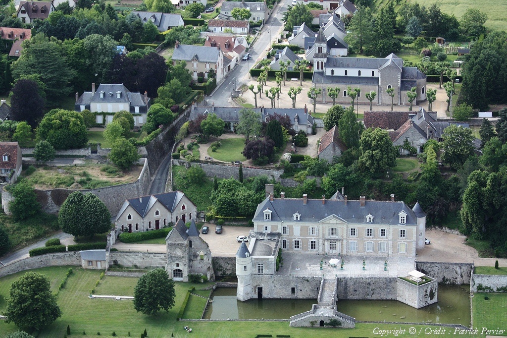
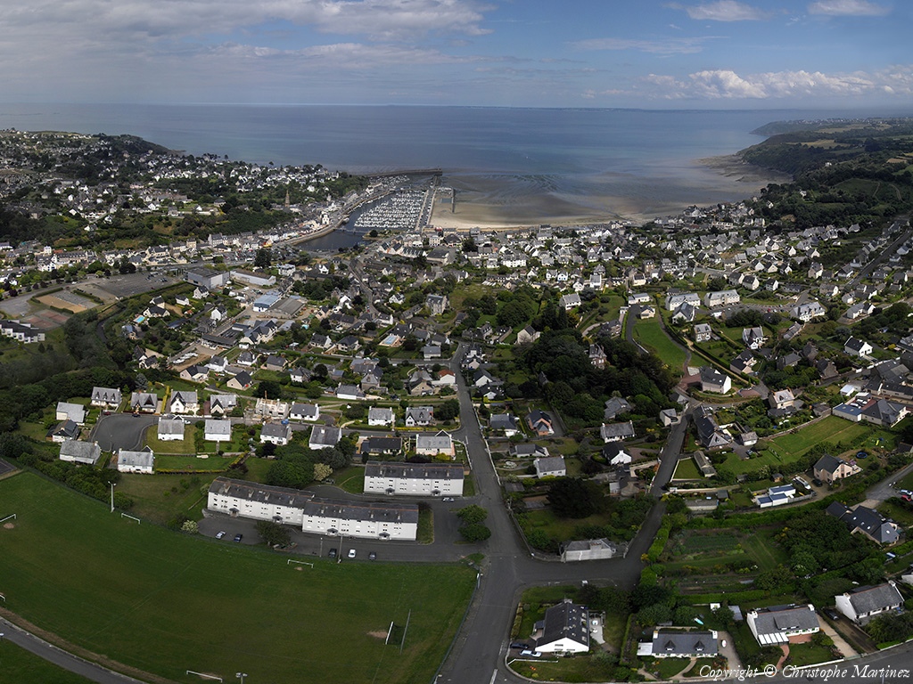
Pays :
France
Département :
Loir-et-Cher (41)
Lieu :
Muides-sur-Loire
Coord. GPS :
47 40 04 N 01 31 25 E
Photographe :
Patrick Perrier
Prise le :
13/06/2009
Vue 1158 fois (
0.93 fois/jour
)
Affiner la recherche
-
Situer sur la carte
Pays :
France
Département :
Loir-et-Cher (41)
Lieu :
Villebarou
Coord. GPS :
47 37 32 N 01 20 16 E
Photographe :
Patrick Perrier
Prise le :
13/06/2009
Vue 1297 fois (
1.05 fois/jour
)
Affiner la recherche
-
Situer sur la carte
Pays :
France
Département :
Loir-et-Cher (41)
Lieu :
Villebarou
Coord. GPS :
47 37 32 N 01 20 16 E
Photographe :
Patrick Perrier
Prise le :
13/06/2009
Vue 1076 fois (
0.87 fois/jour
)
Affiner la recherche
-
Situer sur la carte
Pays :
France
Département :
Loir-et-Cher (41)
Lieu :
Villebarou
Coord. GPS :
47 37 32 N 01 20 16 E
Photographe :
Patrick Perrier
Prise le :
13/06/2009
Vue 1033 fois (
0.83 fois/jour
)
Affiner la recherche
-
Situer sur la carte
Pays :
France
Département :
Loir-et-Cher (41)
Lieu :
Villebarou
Coord. GPS :
47 37 32 N 01 20 16 E
Photographe :
Patrick Perrier
Prise le :
13/06/2009
Vue 1098 fois (
0.88 fois/jour
)
Affiner la recherche
-
Situer sur la carte
Pays :
France
Département :
Loir-et-Cher (41)
Lieu :
Saint-Claude-de-Diray
Coord. GPS :
47 36 53 N 01 24 58 E
Photographe :
Patrick Perrier
Prise le :
13/06/2009
Vue 1040 fois (
0.84 fois/jour
)
Affiner la recherche
-
Situer sur la carte
Pays :
France
Département :
Loir-et-Cher (41)
Lieu :
Cour-sur-Loire
Coord. GPS :
47 39 24 N 01 24 26 E
Photographe :
Patrick Perrier
Prise le :
13/06/2009
Vue 1086 fois (
0.88 fois/jour
)
Affiner la recherche
-
Situer sur la carte
Pays :
France
Département :
Loir-et-Cher (41)
Lieu :
La Chaussée-Saint-Victor
Coord. GPS :
47 36 45 N 01 21 18 E
Photographe :
Patrick Perrier
Prise le :
13/06/2009
Vue 875 fois (
0.71 fois/jour
)
Affiner la recherche
-
Situer sur la carte
Pays :
France
Département :
Loir-et-Cher (41)
Lieu :
La Chaussée-Saint-Victor
Coord. GPS :
47 36 45 N 01 21 18 E
Photographe :
Patrick Perrier
Prise le :
13/06/2009
Vue 826 fois (
0.67 fois/jour
)
Affiner la recherche
-
Situer sur la carte
Pays :
France
Département :
Loir-et-Cher (41)
Lieu :
La Chaussée-Saint-Victor
Coord. GPS :
47 36 45 N 01 21 18 E
Photographe :
Patrick Perrier
Prise le :
13/06/2009
Vue 803 fois (
0.65 fois/jour
)
Affiner la recherche
-
Situer sur la carte
Pays :
France
Département :
Loir-et-Cher (41)
Lieu :
La Chaussée-Saint-Victor
Coord. GPS :
47 36 45 N 01 21 18 E
Photographe :
Patrick Perrier
Prise le :
13/06/2009
Vue 819 fois (
0.66 fois/jour
)
Affiner la recherche
-
Situer sur la carte
Pays :
France
Département :
Loir-et-Cher (41)
Lieu :
La Chaussée-Saint-Victor
Coord. GPS :
47 36 45 N 01 21 18 E
Photographe :
Patrick Perrier
Prise le :
13/06/2009
Vue 825 fois (
0.66 fois/jour
)
Affiner la recherche
-
Situer sur la carte
Pays :
France
Département :
Loir-et-Cher (41)
Lieu :
La Chaussée-Saint-Victor
Coord. GPS :
47 36 45 N 01 21 18 E
Photographe :
Patrick Perrier
Prise le :
13/06/2009
Vue 851 fois (
0.69 fois/jour
)
Affiner la recherche
-
Situer sur la carte
Pays :
France
Département :
Loir-et-Cher (41)
Lieu :
Averdon
Coord. GPS :
47 40 48 N 01 17 42 E
Photographe :
Patrick Perrier
Prise le :
13/06/2009
Vue 1004 fois (
0.81 fois/jour
)
Affiner la recherche
-
Situer sur la carte
Pays :
France
Département :
Loir-et-Cher (41)
Lieu :
Averdon
Coord. GPS :
47 40 48 N 01 17 42 E
Photographe :
Patrick Perrier
Prise le :
13/06/2009
Vue 1099 fois (
0.89 fois/jour
)
Affiner la recherche
-
Situer sur la carte
Pays :
France
Département :
Loir-et-Cher (41)
Lieu :
Averdon
Coord. GPS :
47 40 48 N 01 17 42 E
Photographe :
Patrick Perrier
Prise le :
13/06/2009
Vue 1056 fois (
0.85 fois/jour
)
Affiner la recherche
-
Situer sur la carte
Pays :
France
Département :
Loir-et-Cher (41)
Lieu :
Averdon
Coord. GPS :
47 40 48 N 01 17 42 E
Photographe :
Patrick Perrier
Prise le :
13/06/2009
Vue 986 fois (
0.79 fois/jour
)
Affiner la recherche
-
Situer sur la carte
1
2
3
Page suivante
Dernière page
Droits réservés - Copyright ©
Survol de France
Site en ligne depuis le 28 octobre 2004
490 visiteurs en ligne
-
2632 visiteurs aujourd'hui
Information sur la confidentialité
-
Mentions légales
Mesure d'audience ROI frequentation par


