Vous devez activer Javascript pour pouvoir afficher correctement cette page !
Accueil / Recherche
|
Les photos en France
|
Les photos des autres pays
|
Envoyer vos photos
|
Le TOP 20
Conditions d'utilisation
|
Google Maps
|
Formulaire de contact
|
Nouvelles photos ajoutées
|
Newsletter
Publicité :
Nombre de photo(s) :
21
Lancer le
diaporama
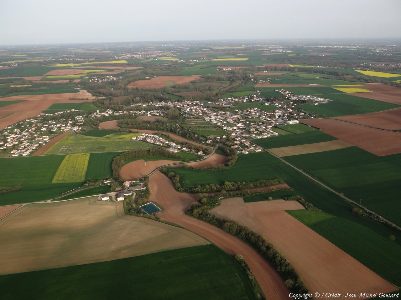
Pays :
France
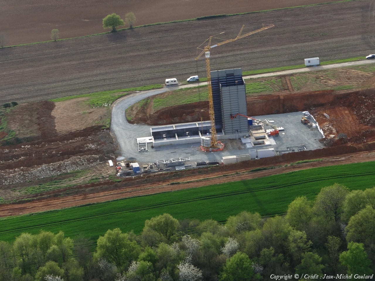
Département :
Deux-Sèvres (79)
Lieu :
Saint-Maxire
Coord. GPS :
46 23 57 N 00 28 45 W
Photographe :
Jean-Michel Goulard
Prise le :
15/04/2015
Vue 1103 fois (
0.60 fois/jour
)
Affiner la recherche
-
Situer sur la carte
Pays :
France
Département :
Deux-Sèvres (79)
Lieu :
Saint-Maxire
Coord. GPS :
46 23 57 N 00 28 45 W
Photographe :
Jean-Michel Goulard
Prise le :
15/04/2015
Vue 1075 fois (
0.58 fois/jour
)
Affiner la recherche
-
Situer sur la carte
Pays :
France
Département :
Deux-Sèvres (79)
Lieu :
Saint-Pompain
Coord. GPS :
46 26 41 N 00 34 27 W
Photographe :
Jean-Michel Goulard
Prise le :
15/04/2015
Vue 971 fois (
0.52 fois/jour
)
Affiner la recherche
-
Situer sur la carte
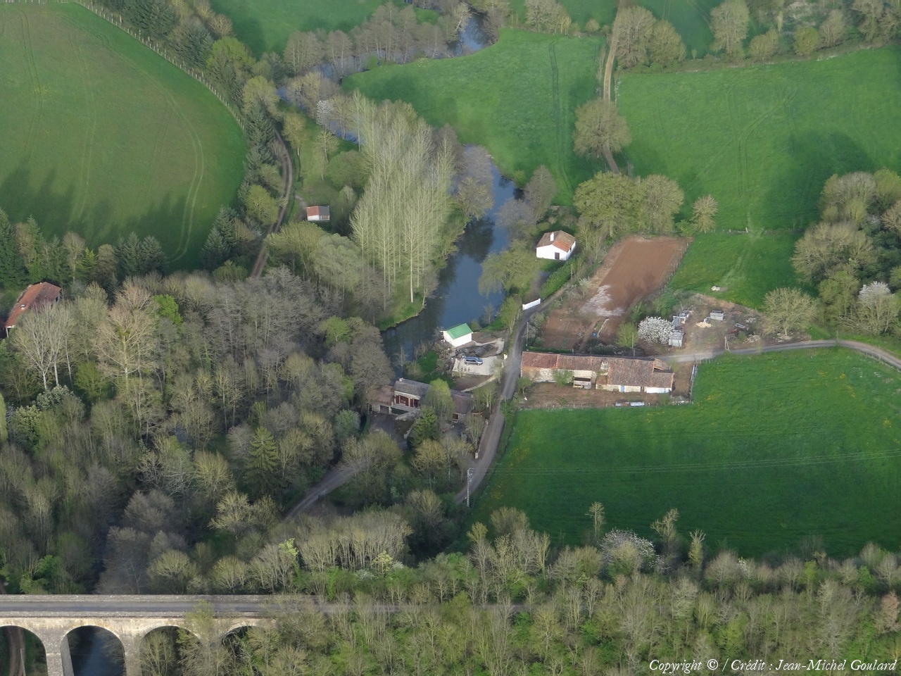
Pays :
France
Département :
Deux-Sèvres (79)
Lieu :
Saint-Pompain
Coord. GPS :
46 26 46 N 00 35 08 W
Photographe :
Jean-Michel Goulard
Prise le :
15/04/2015
Vue 1053 fois (
0.56 fois/jour
)
Affiner la recherche
-
Situer sur la carte
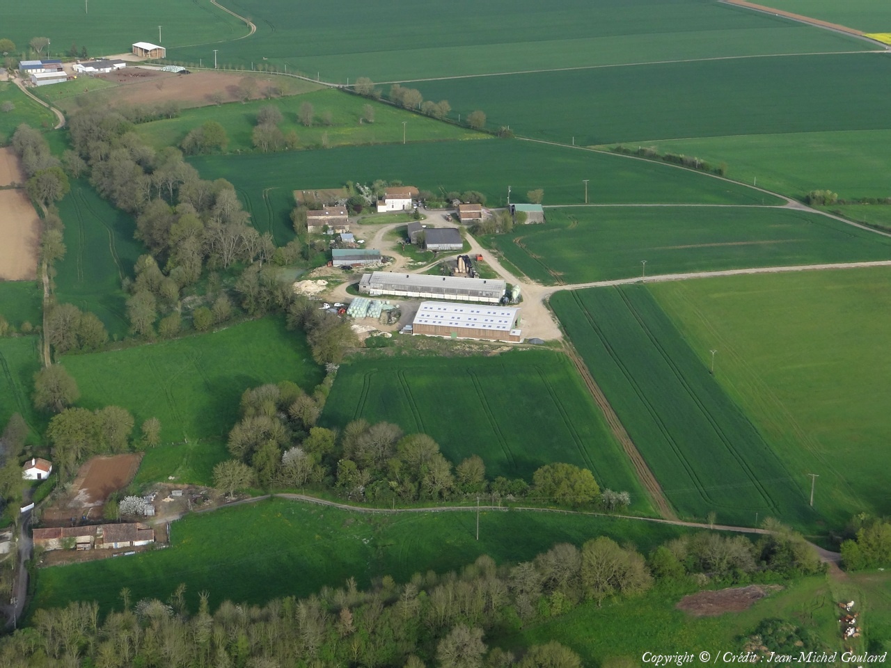
Pays :
France
Département :
Deux-Sèvres (79)
Lieu :
Saint-Pompain
Coord. GPS :
46 26 38 N 00 34 49 W
Photographe :
Jean-Michel Goulard
Prise le :
15/04/2015
Vue 1054 fois (
0.56 fois/jour
)
Affiner la recherche
-
Situer sur la carte
Pays :
France
Département :
Deux-Sèvres (79)
Lieu :
Saint-Pompain
Coord. GPS :
46 26 46 N 00 35 08 W
Photographe :
Jean-Michel Goulard
Prise le :
15/04/2015
Vue 1065 fois (
0.56 fois/jour
)
Affiner la recherche
-
Situer sur la carte
Pays :
France
Département :
Deux-Sèvres (79)
Lieu :
Saint-Pompain
Coord. GPS :
46 26 28 N 00 36 01 W
Photographe :
Jean-Michel Goulard
Prise le :
15/04/2015
Vue 1064 fois (
0.56 fois/jour
)
Affiner la recherche
-
Situer sur la carte
Pays :
France
Département :
Deux-Sèvres (79)
Lieu :
Saint-Pompain
Coord. GPS :
46 26 52 N 00 36 45 W
Photographe :
Jean-Michel Goulard
Prise le :
15/04/2015
Vue 1300 fois (
0.69 fois/jour
)
Affiner la recherche
-
Situer sur la carte
Pays :
France
Département :
Deux-Sèvres (79)
Lieu :
Saint-Pompain
Coord. GPS :
46 26 52 N 00 36 45 W
Photographe :
Jean-Michel Goulard
Prise le :
15/04/2015
Vue 1455 fois (
0.77 fois/jour
)
Affiner la recherche
-
Situer sur la carte
Pays :
France
Département :
Vendée (85)
Lieu :
Saint-Hilaire-des-Loges
Coord. GPS :
46 27 08 N 00 36 45 W
Photographe :
Jean-Michel Goulard
Prise le :
15/04/2015
Vue 1007 fois (
0.53 fois/jour
)
Affiner la recherche
-
Situer sur la carte
Pays :
France
Département :
Deux-Sèvres (79)
Lieu :
Coulonges-sur-l'Autize
Coord. GPS :
46 27 41 N 00 35 58 W
Photographe :
Jean-Michel Goulard
Prise le :
15/04/2015
Vue 1193 fois (
0.63 fois/jour
)
Affiner la recherche
-
Situer sur la carte
Pays :
France
Département :
Deux-Sèvres (79)
Lieu :
Coulonges-sur-l'Autize
Coord. GPS :
46 30 17 N 00 35 40 W
Photographe :
Jean-Michel Goulard
Prise le :
15/04/2015
Vue 1066 fois (
0.56 fois/jour
)
Affiner la recherche
-
Situer sur la carte
Pays :
France
Département :
Deux-Sèvres (79)
Lieu :
Coulonges-sur-l'Autize
Coord. GPS :
46 30 17 N 00 35 40 W
Photographe :
Jean-Michel Goulard
Prise le :
15/04/2015
Vue 924 fois (
0.49 fois/jour
)
Affiner la recherche
-
Situer sur la carte
Pays :
France
Département :
Deux-Sèvres (79)
Lieu :
Ardin
Coord. GPS :
46 29 46 N 00 34 57 W
Photographe :
Jean-Michel Goulard
Prise le :
15/04/2015
Vue 848 fois (
0.45 fois/jour
)
Affiner la recherche
-
Situer sur la carte
Pays :
France
Département :
Deux-Sèvres (79)
Lieu :
Ardin
Coord. GPS :
46 28 13 N 00 33 57 W
Photographe :
Jean-Michel Goulard
Prise le :
15/04/2015
Vue 1013 fois (
0.53 fois/jour
)
Affiner la recherche
-
Situer sur la carte
Pays :
France
Département :
Deux-Sèvres (79)
Lieu :
Ardin
Coord. GPS :
46 28 00 N 00 32 56 W
Photographe :
Jean-Michel Goulard
Prise le :
15/04/2015
Vue 997 fois (
0.52 fois/jour
)
Affiner la recherche
-
Situer sur la carte
Pays :
France
Département :
Deux-Sèvres (79)
Lieu :
Ardin
Coord. GPS :
46 28 00 N 00 32 56 W
Photographe :
Jean-Michel Goulard
Prise le :
15/04/2015
Vue 863 fois (
0.45 fois/jour
)
Affiner la recherche
-
Situer sur la carte
Pays :
France
Département :
Deux-Sèvres (79)
Lieu :
Ardin
Coord. GPS :
46 26 58 N 00 32 30 W
Photographe :
Jean-Michel Goulard
Prise le :
15/04/2015
Vue 790 fois (
0.41 fois/jour
)
Affiner la recherche
-
Situer sur la carte
Pays :
France
Département :
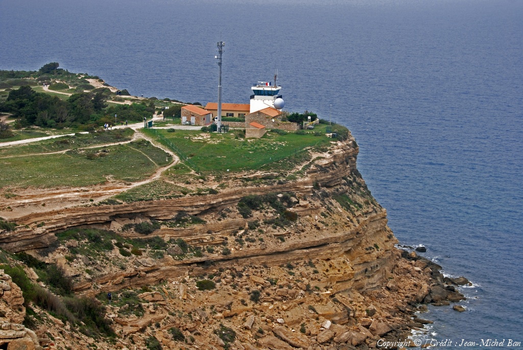
Aude (11)
Lieu :
Leucate
Coord. GPS :
42 55 03 N 03 03 35 E
Photographe :
Jean-Michel Ban
Prise le :
15/04/2015
Vue 1523 fois (
0.58 fois/jour
)
Affiner la recherche
-
Situer sur la carte
Pays :
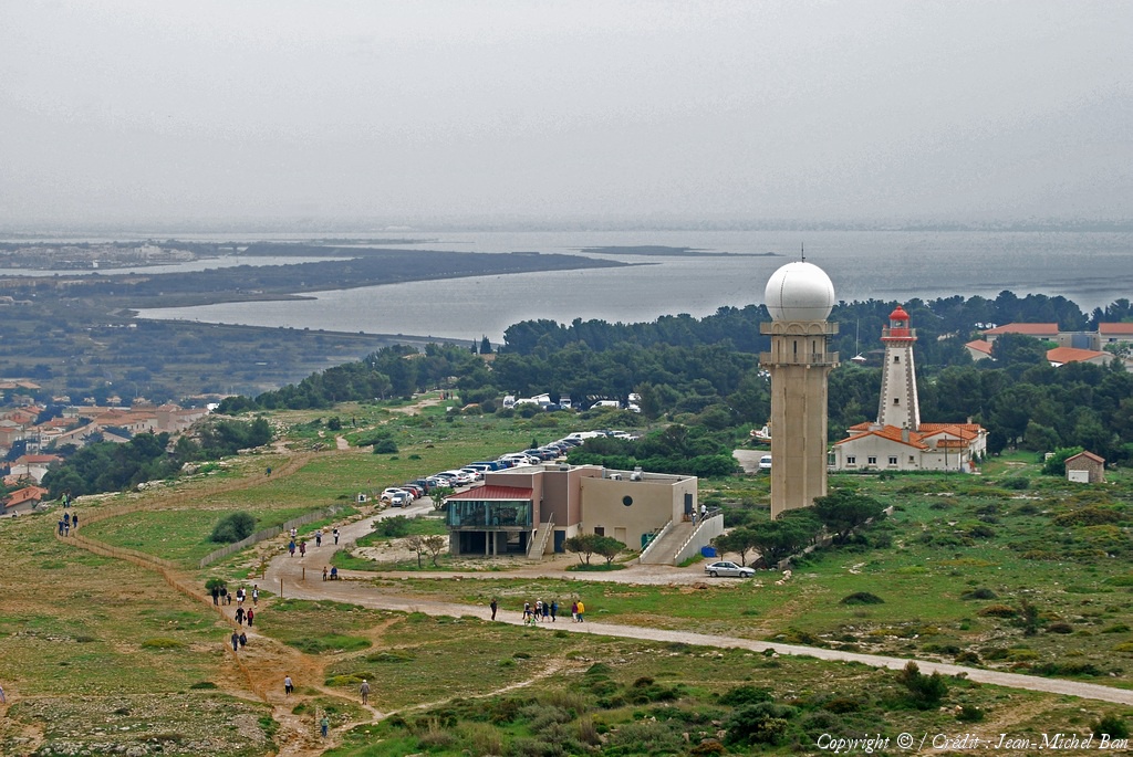
France
Département :
Aude (11)
Lieu :
Leucate
Coord. GPS :
42 54 38 N 03 03 22 E
Photographe :
Jean-Michel Ban
Prise le :
15/04/2015
Vue 1601 fois (
0.61 fois/jour
)
Affiner la recherche
-
Situer sur la carte
1
2
Page suivante
Dernière page
Droits réservés - Copyright ©
Survol de France
Site en ligne depuis le 28 octobre 2004
285 visiteurs en ligne
-
3065 visiteurs aujourd'hui
Information sur la confidentialité
-
Mentions légales
Mesure d'audience ROI frequentation par


