Vous devez activer Javascript pour pouvoir afficher correctement cette page !
Accueil / Recherche
|
Les photos en France
|
Les photos des autres pays
|
Envoyer vos photos
|
Le TOP 20
Conditions d'utilisation
|
Google Maps
|
Formulaire de contact
|
Nouvelles photos ajoutées
|
Newsletter
Publicité :
Nombre de photo(s) :
345
Lancer le
diaporama
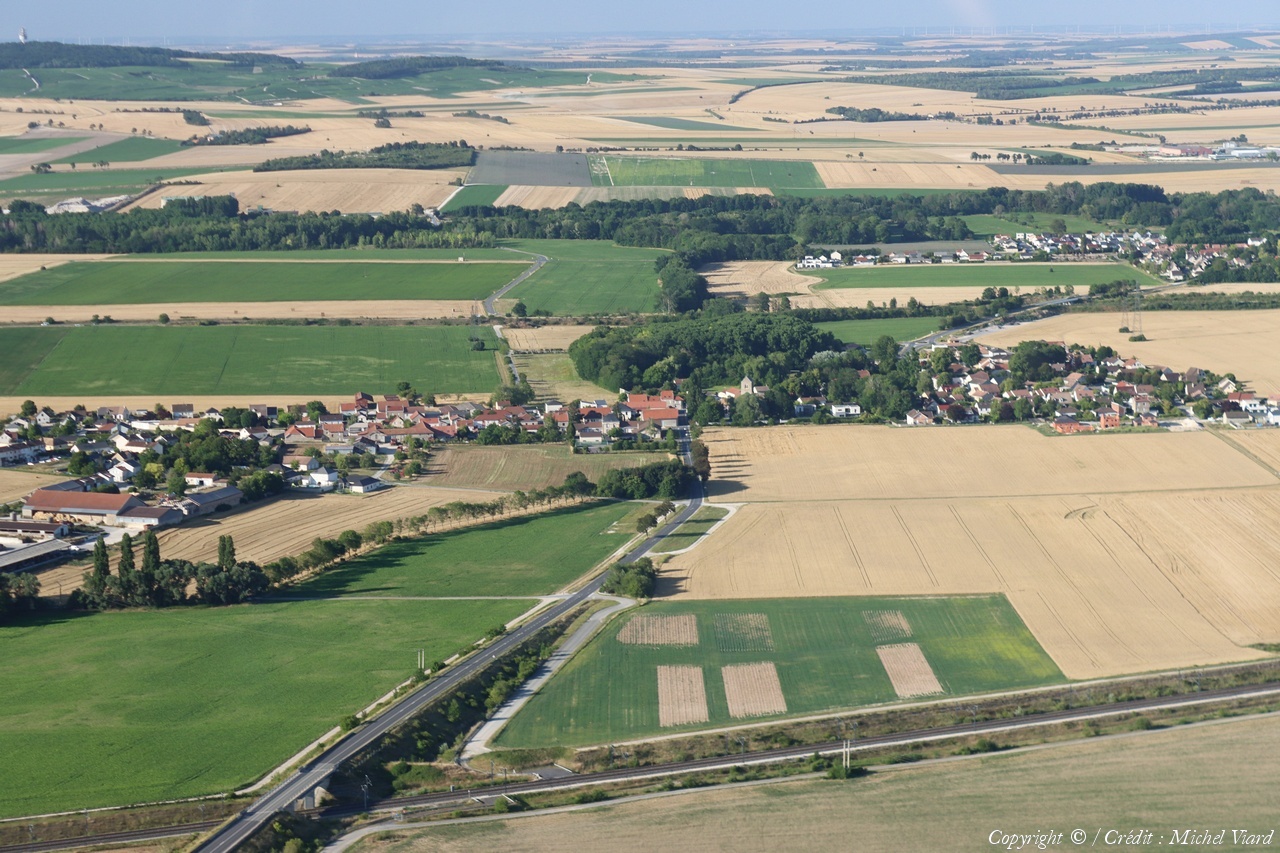
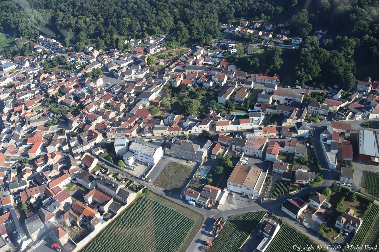
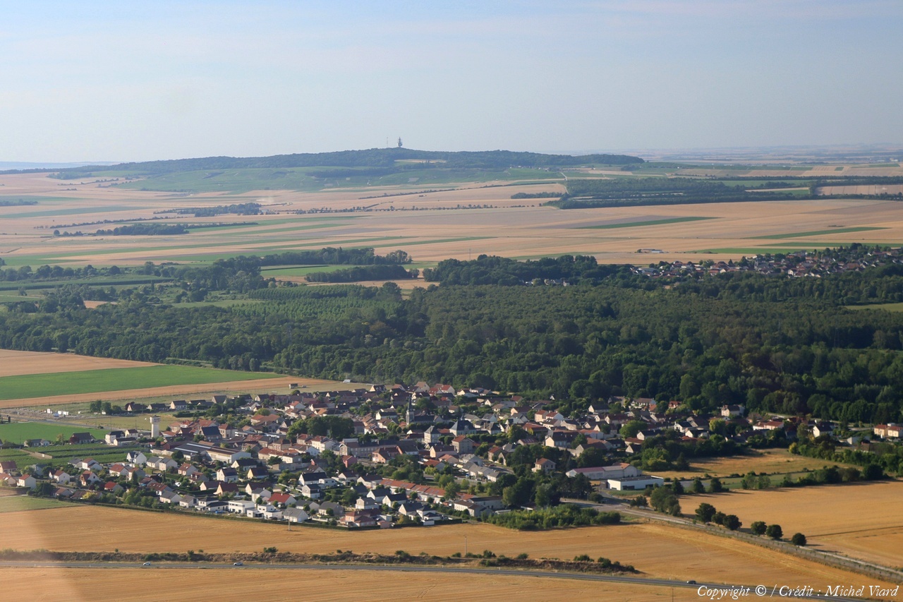
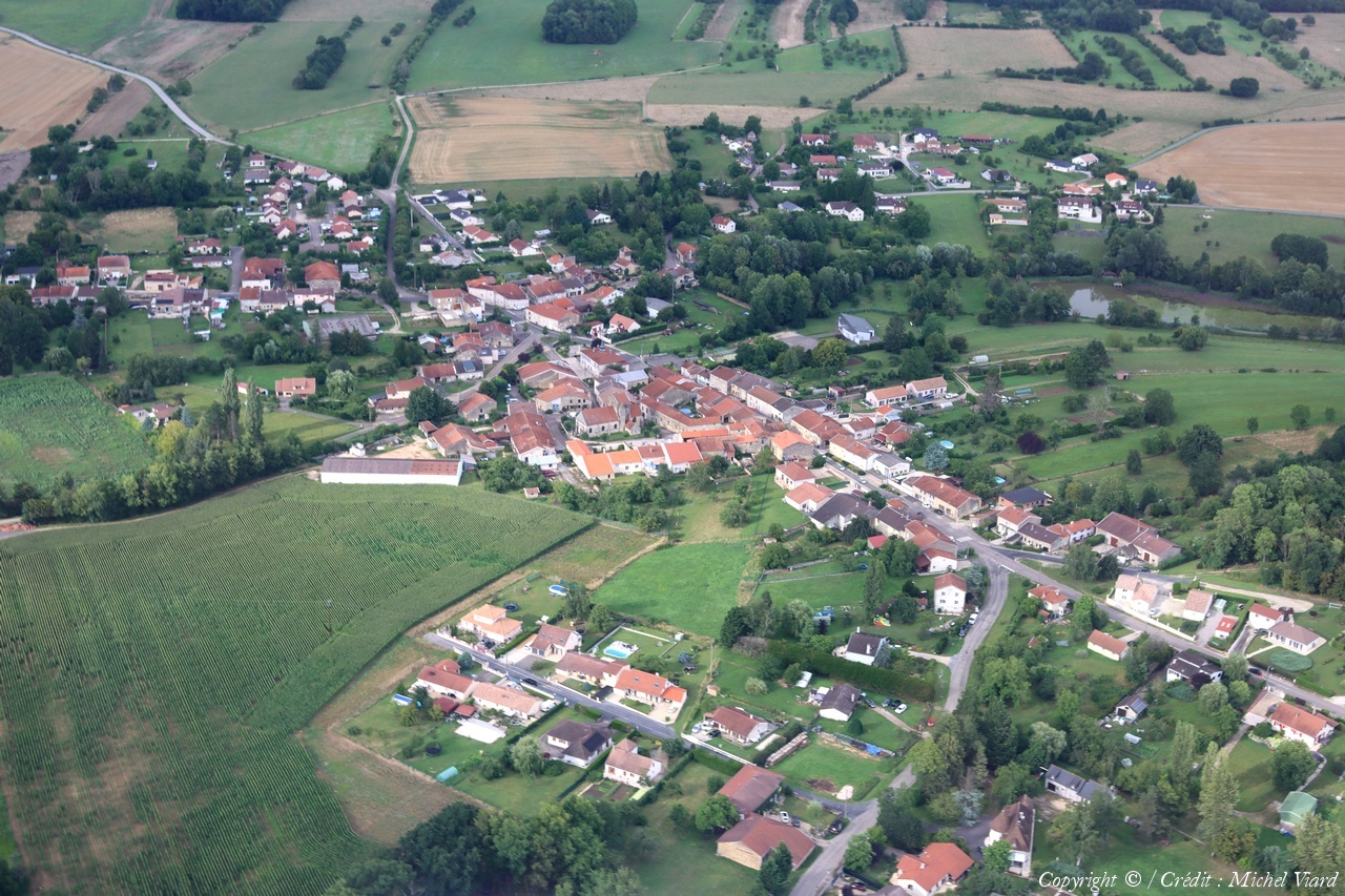
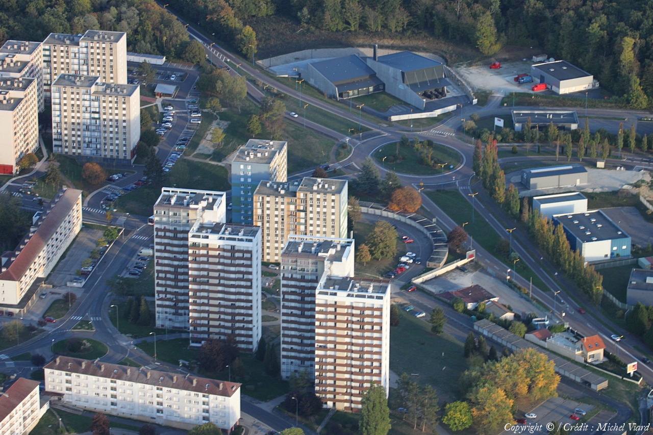
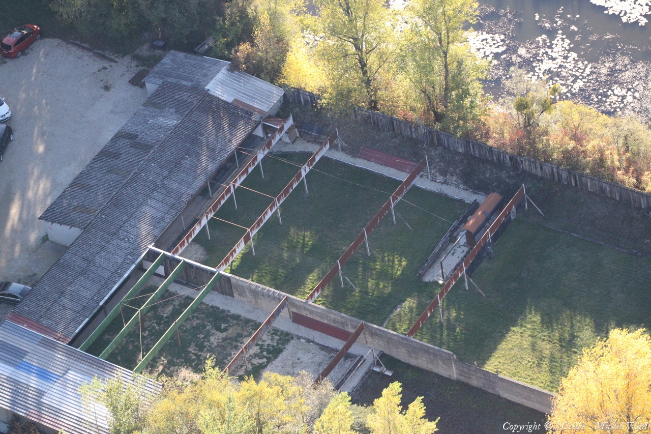
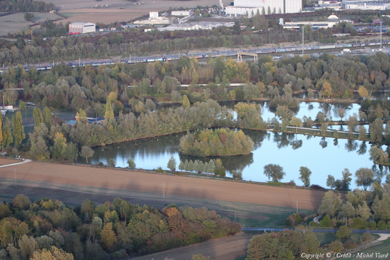
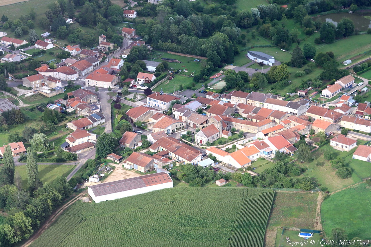
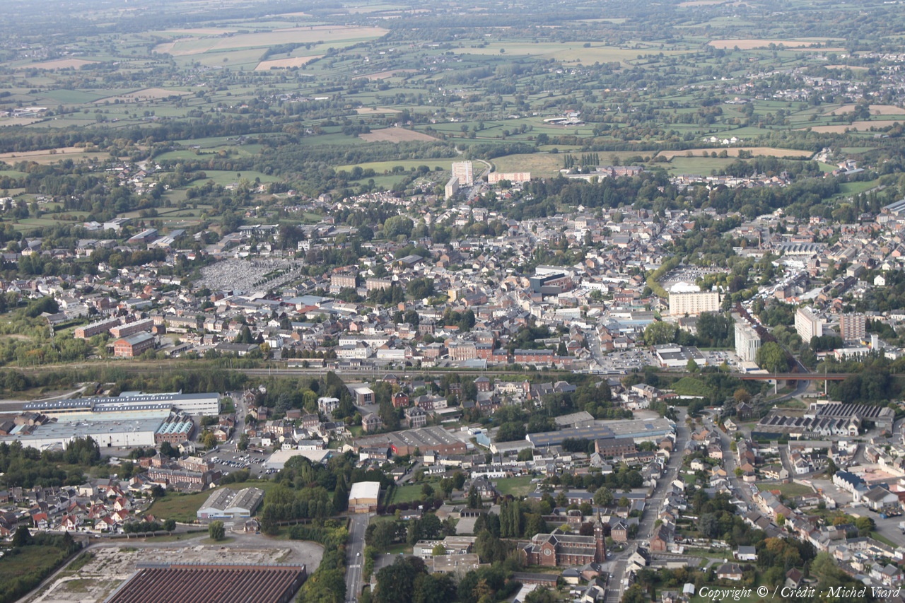
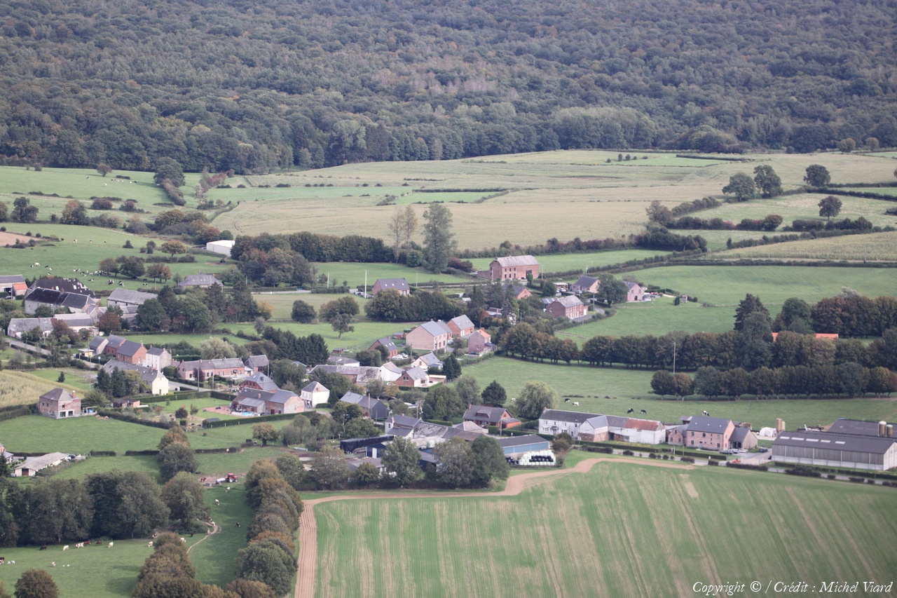
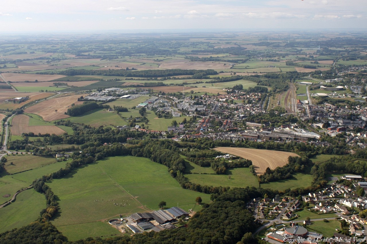
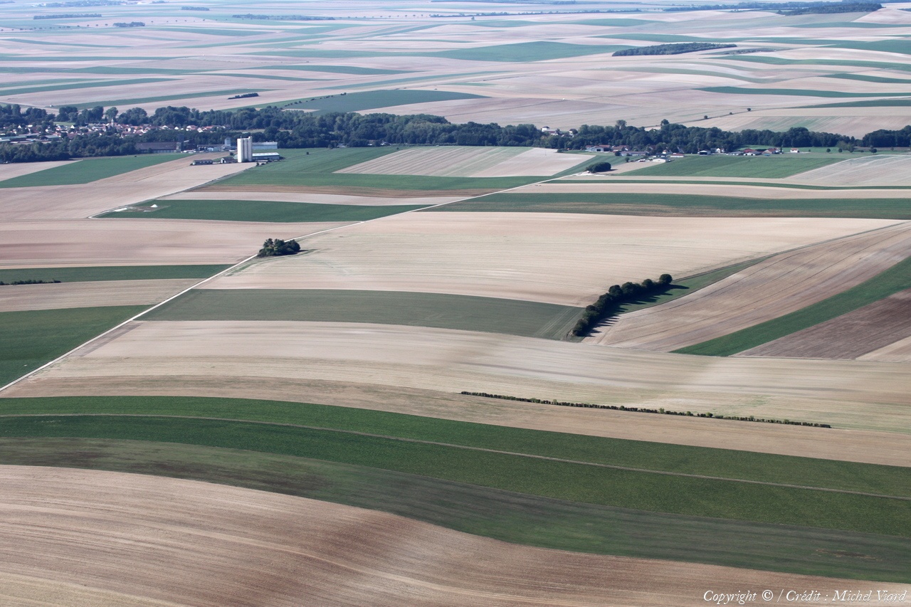
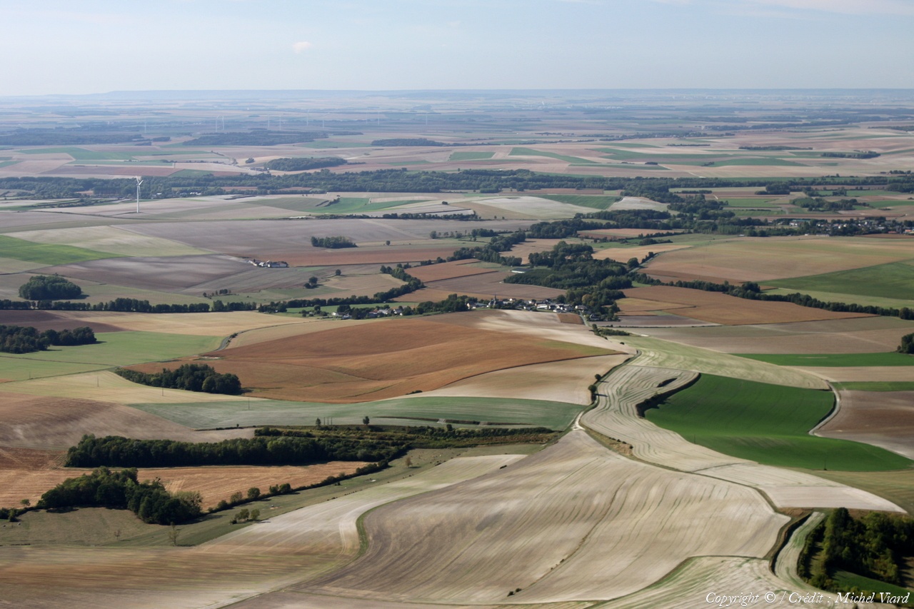
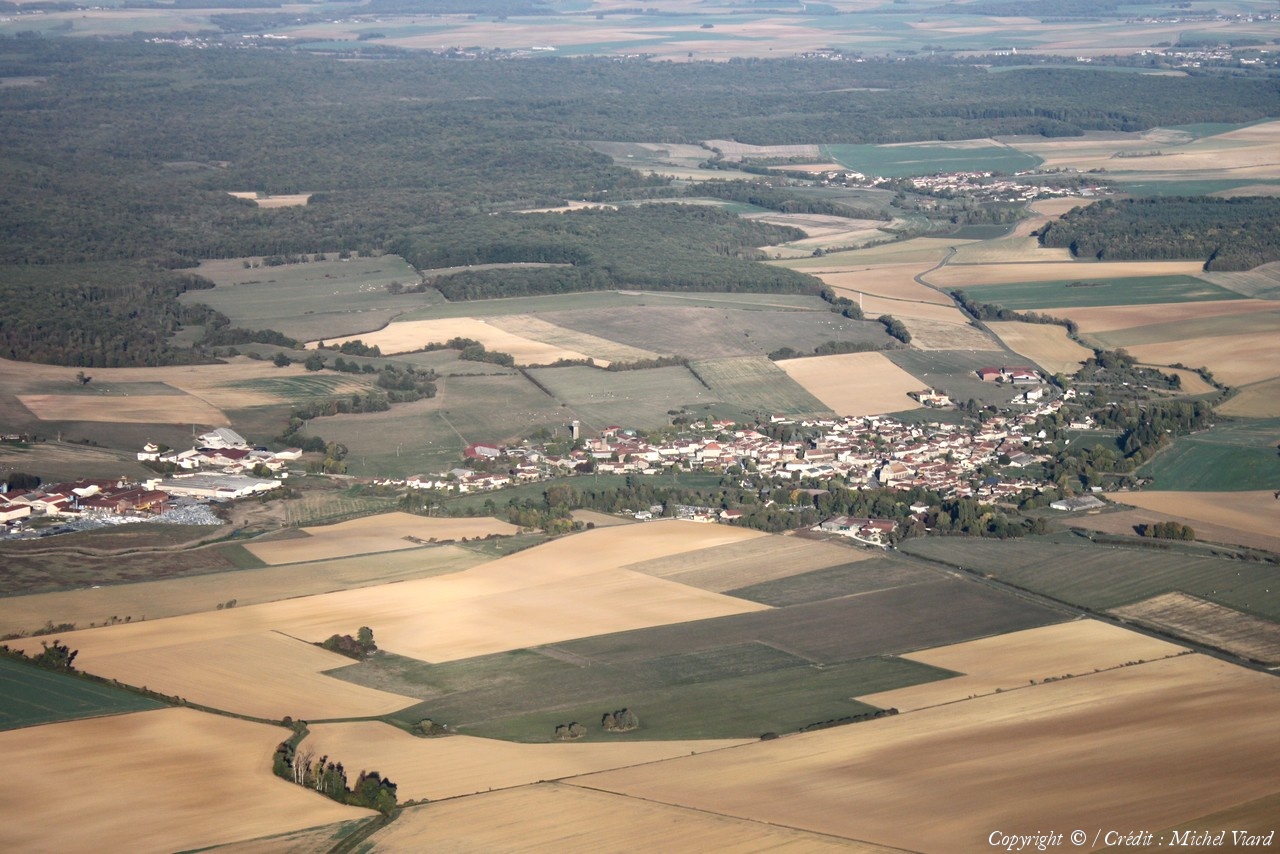
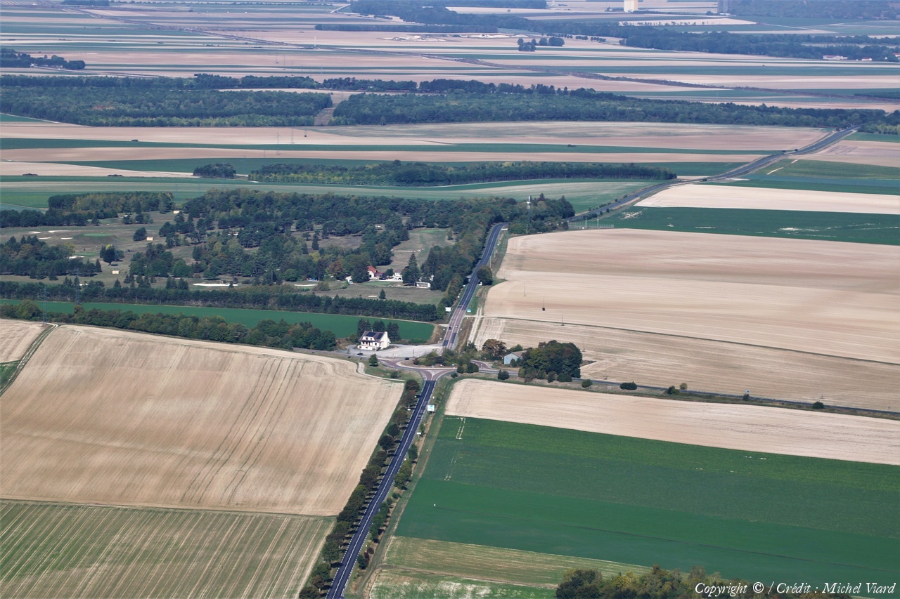
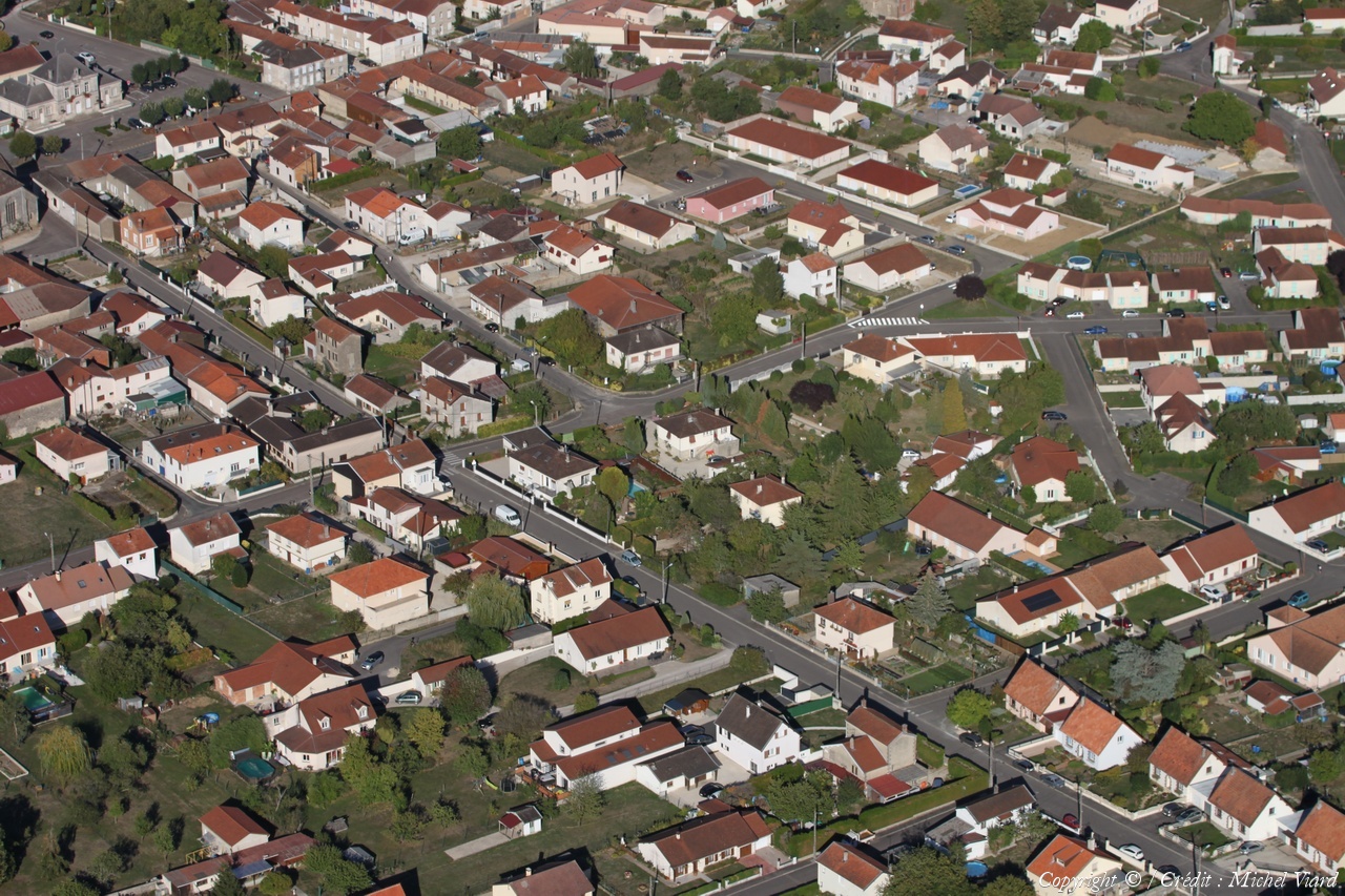
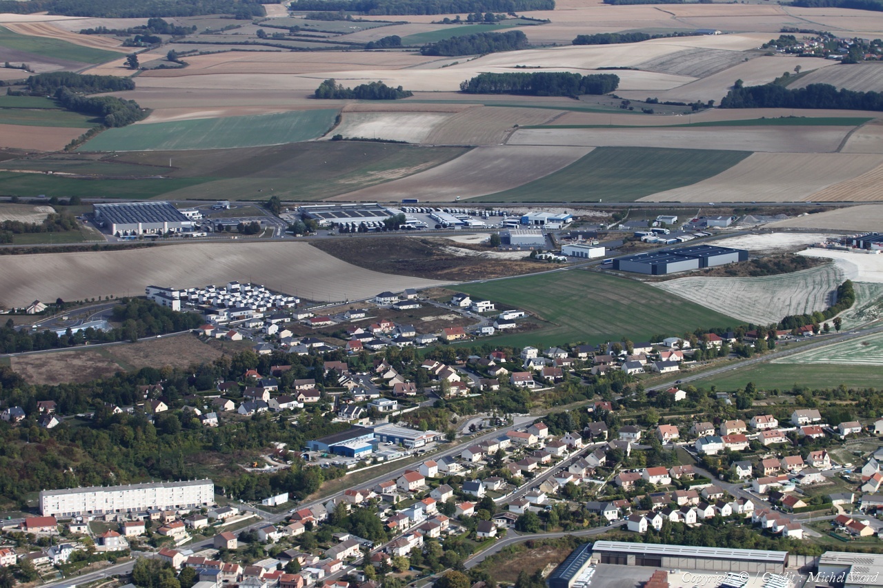
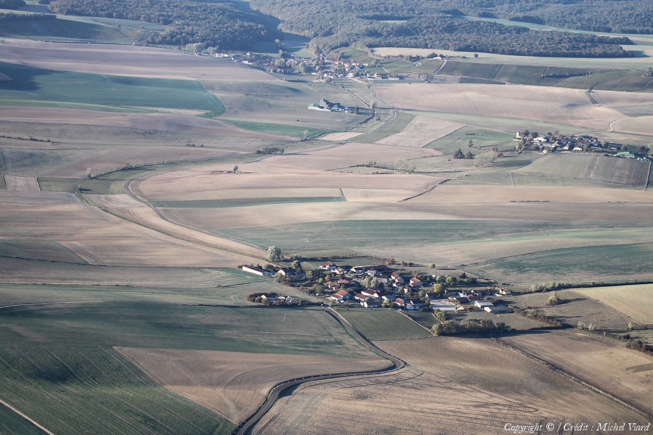
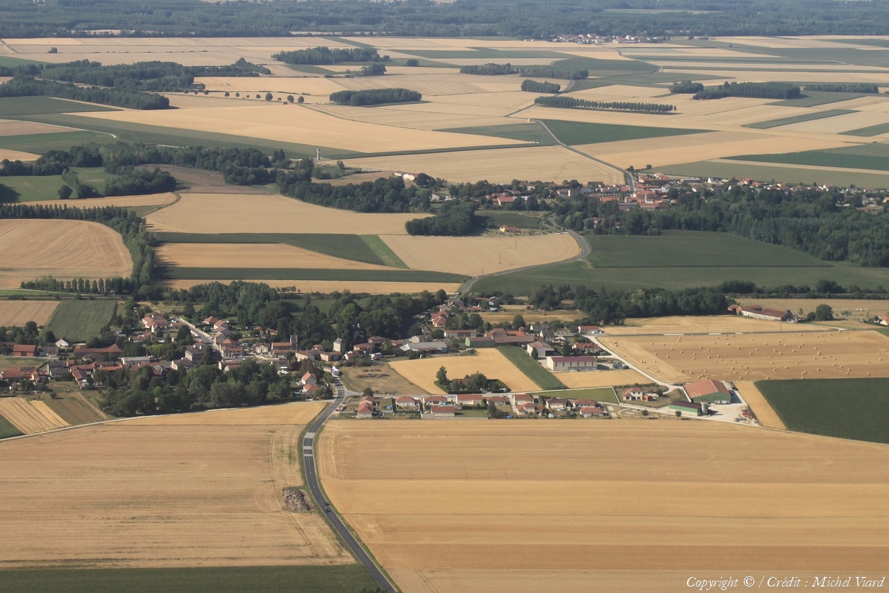
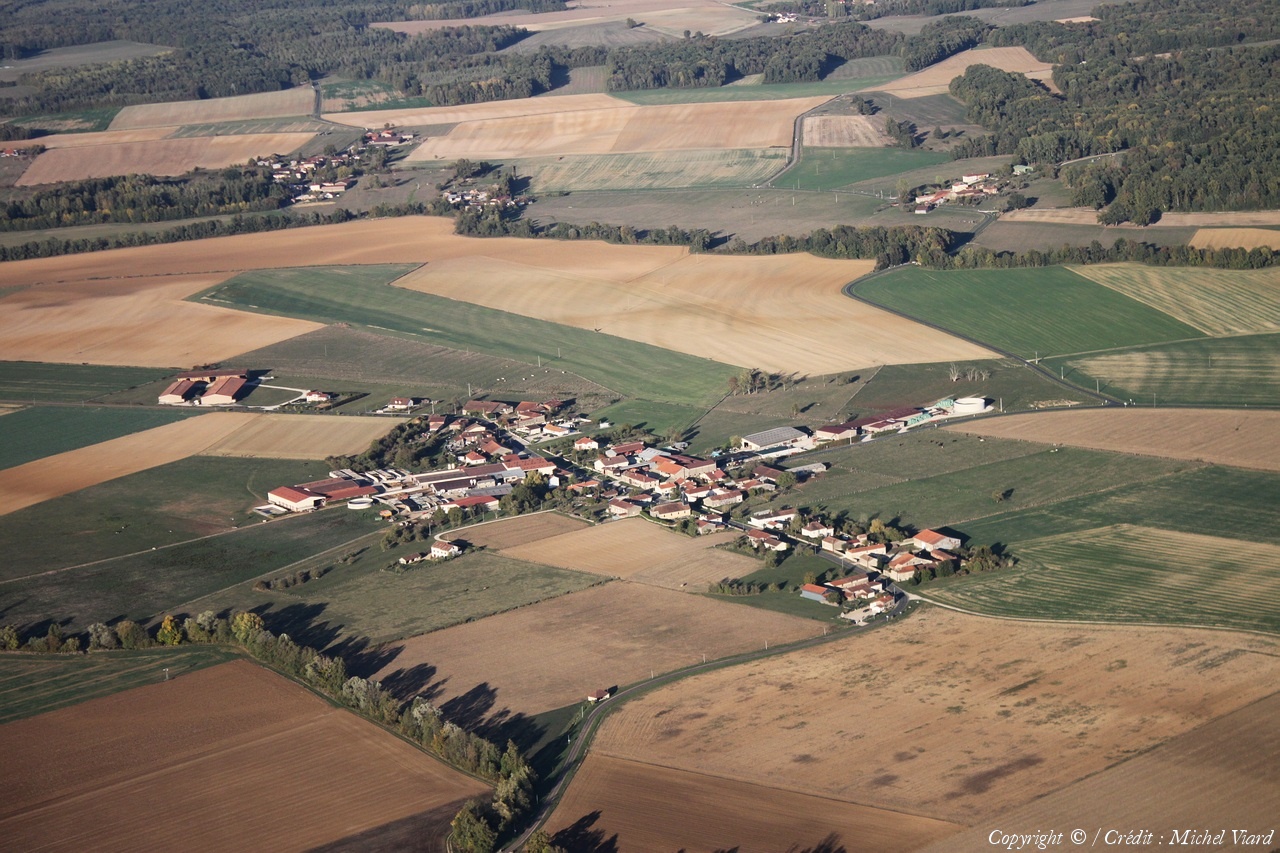
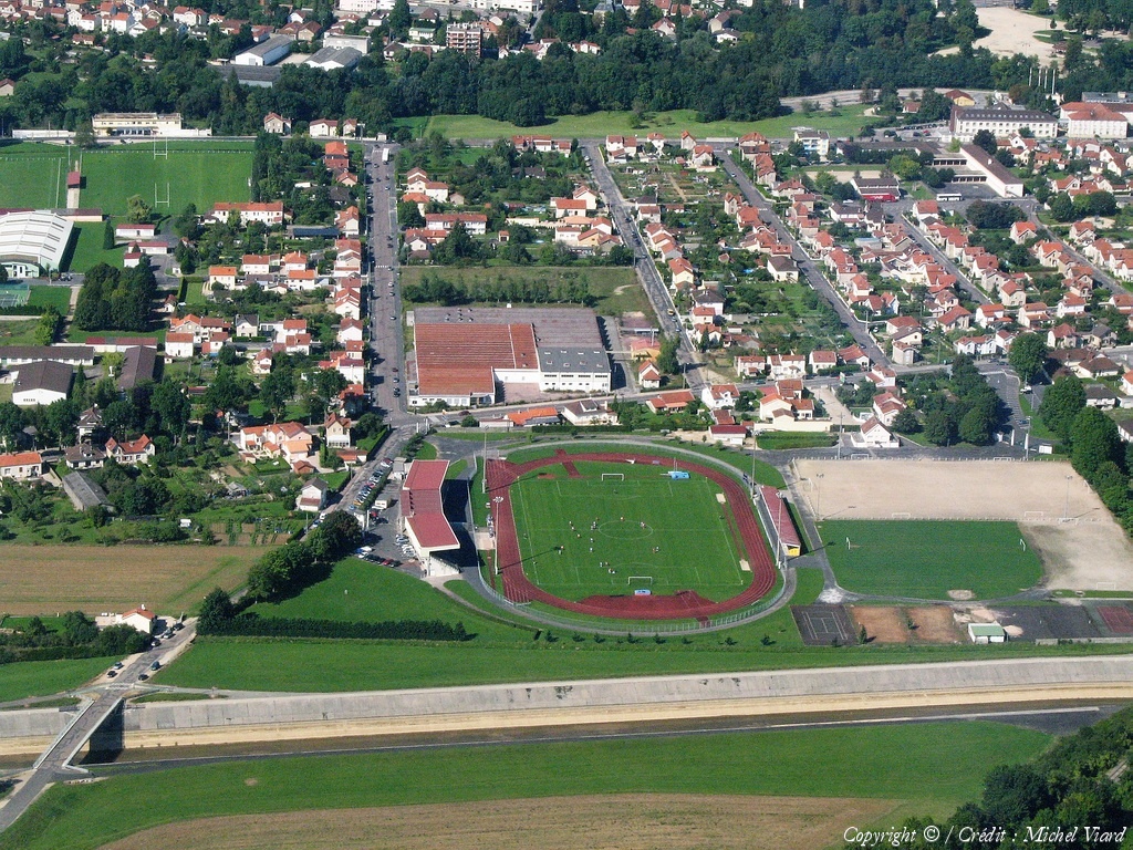
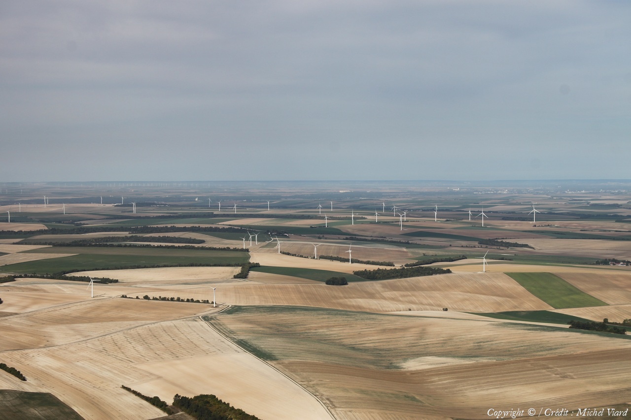
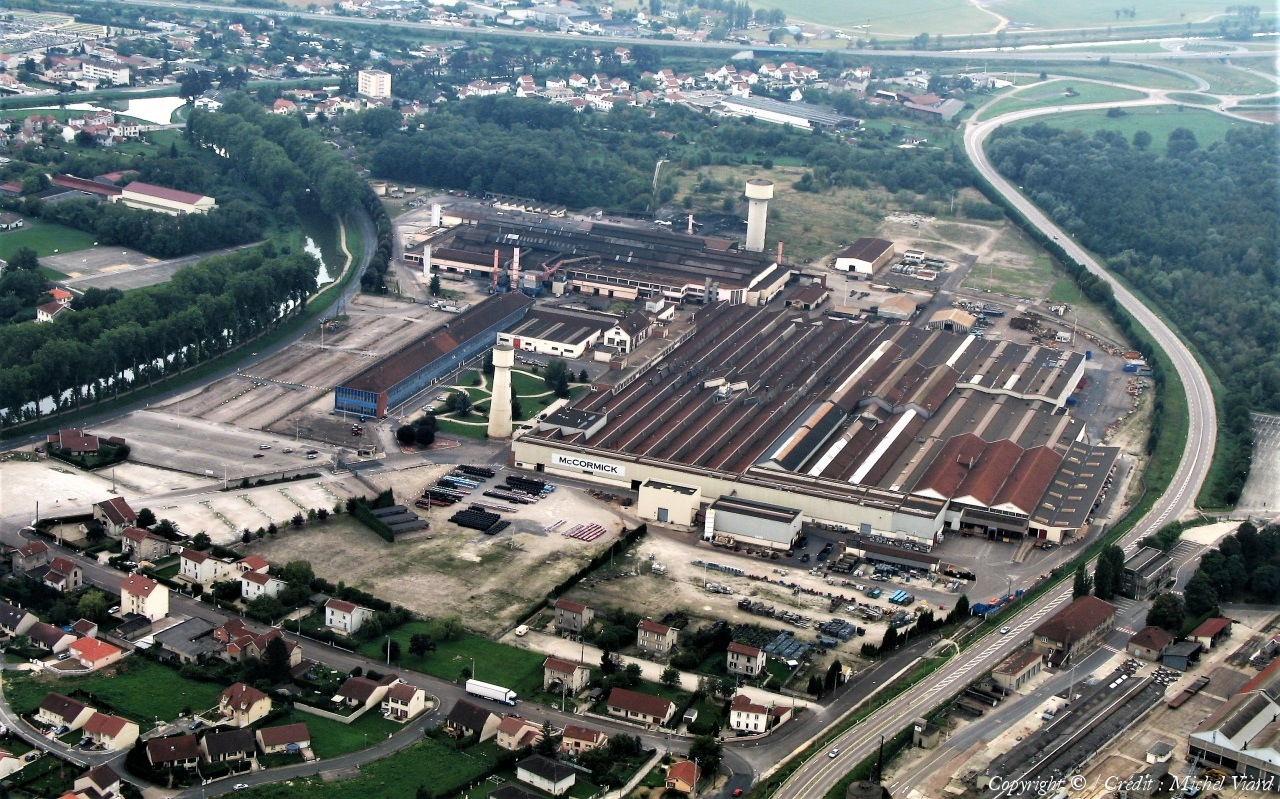
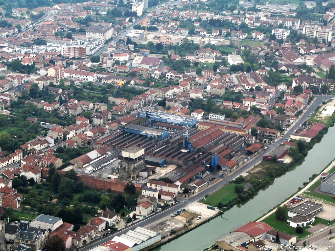
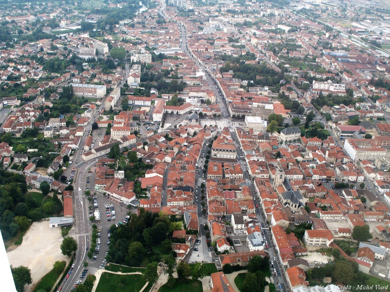
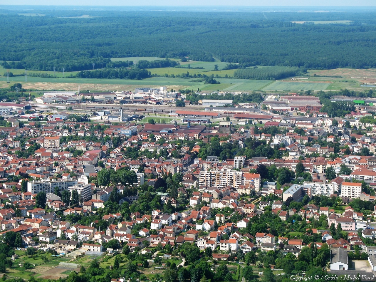
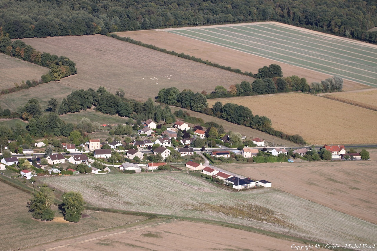
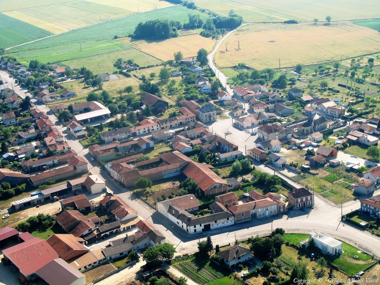
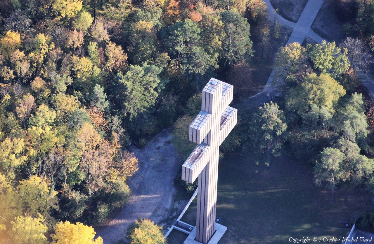
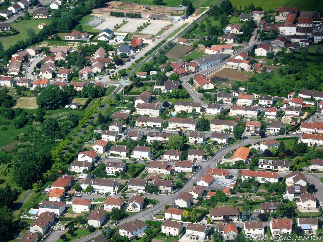
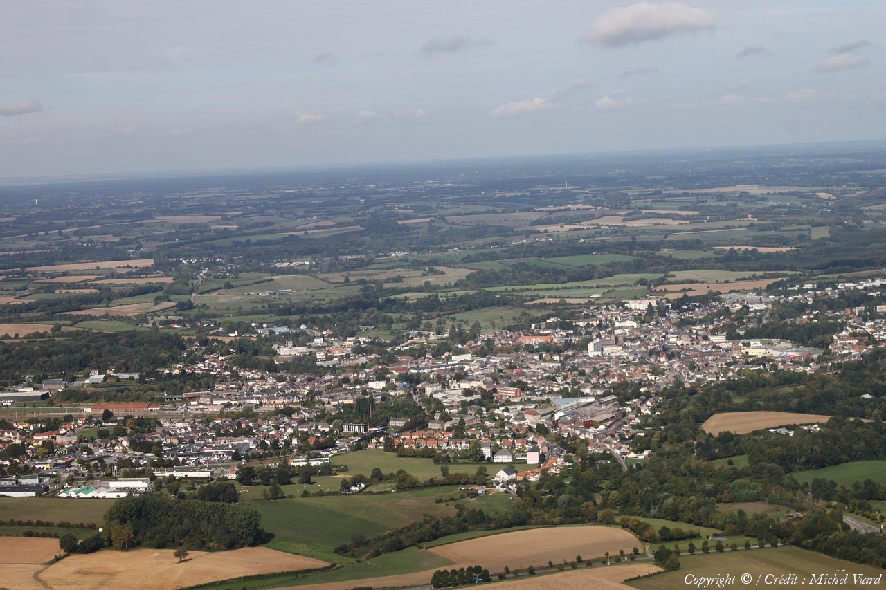
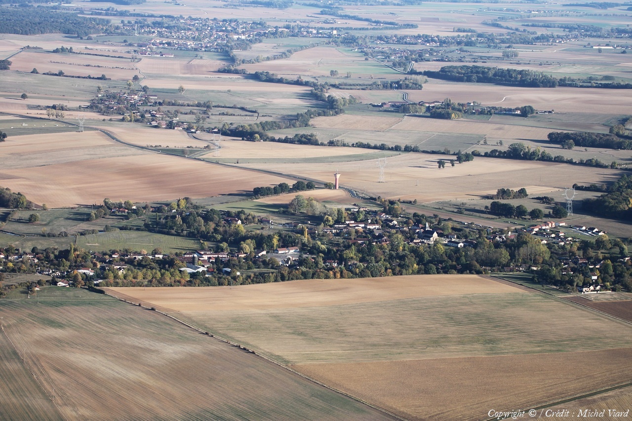
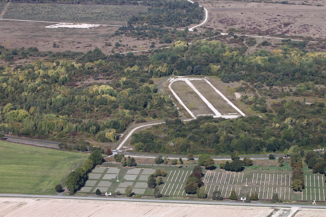
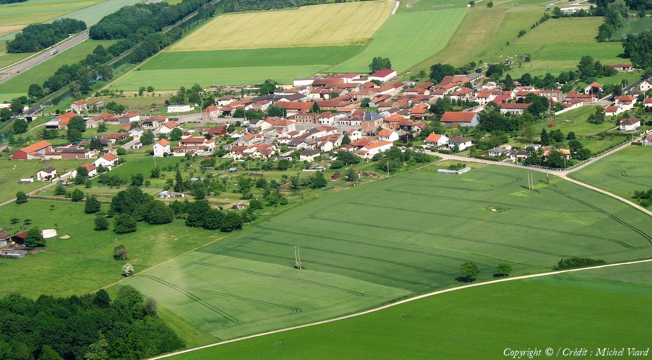
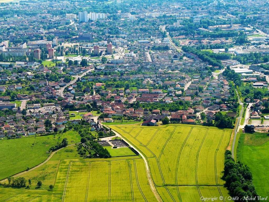
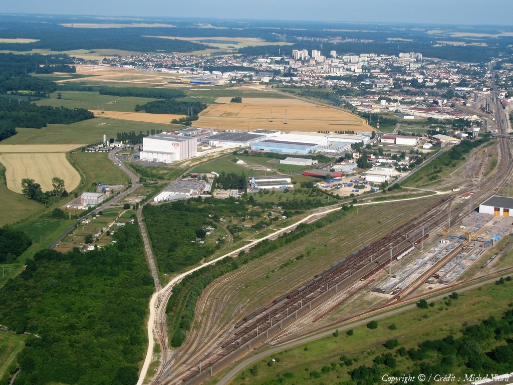
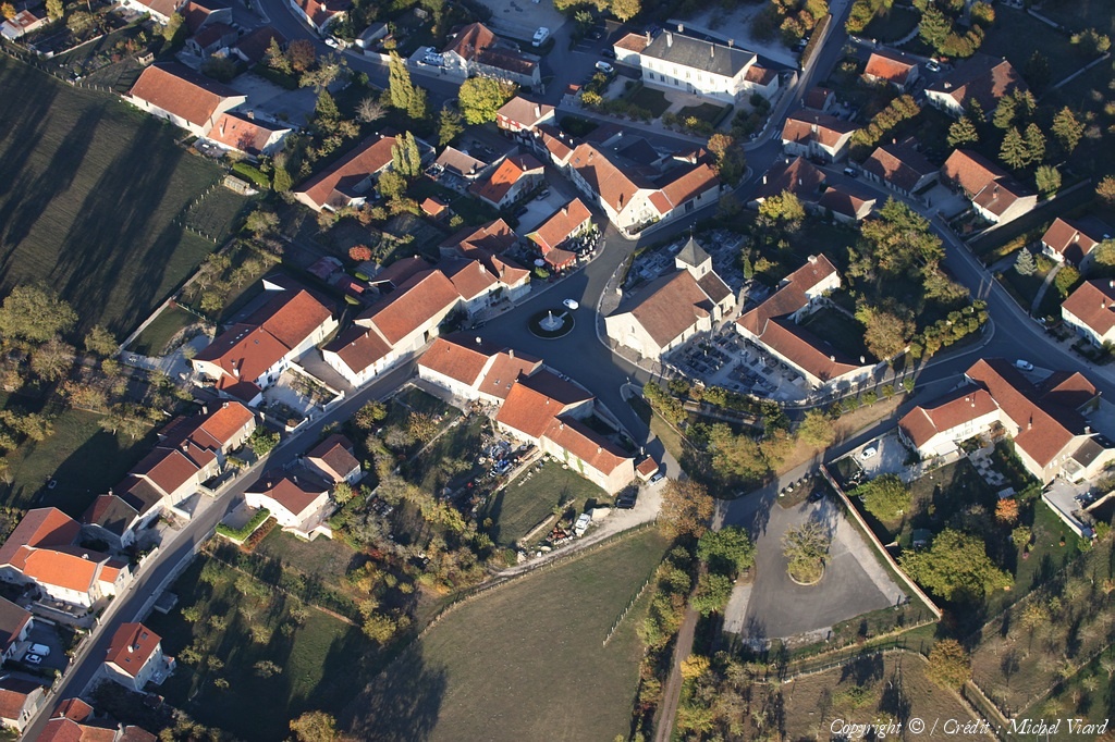
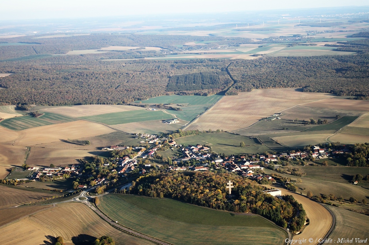
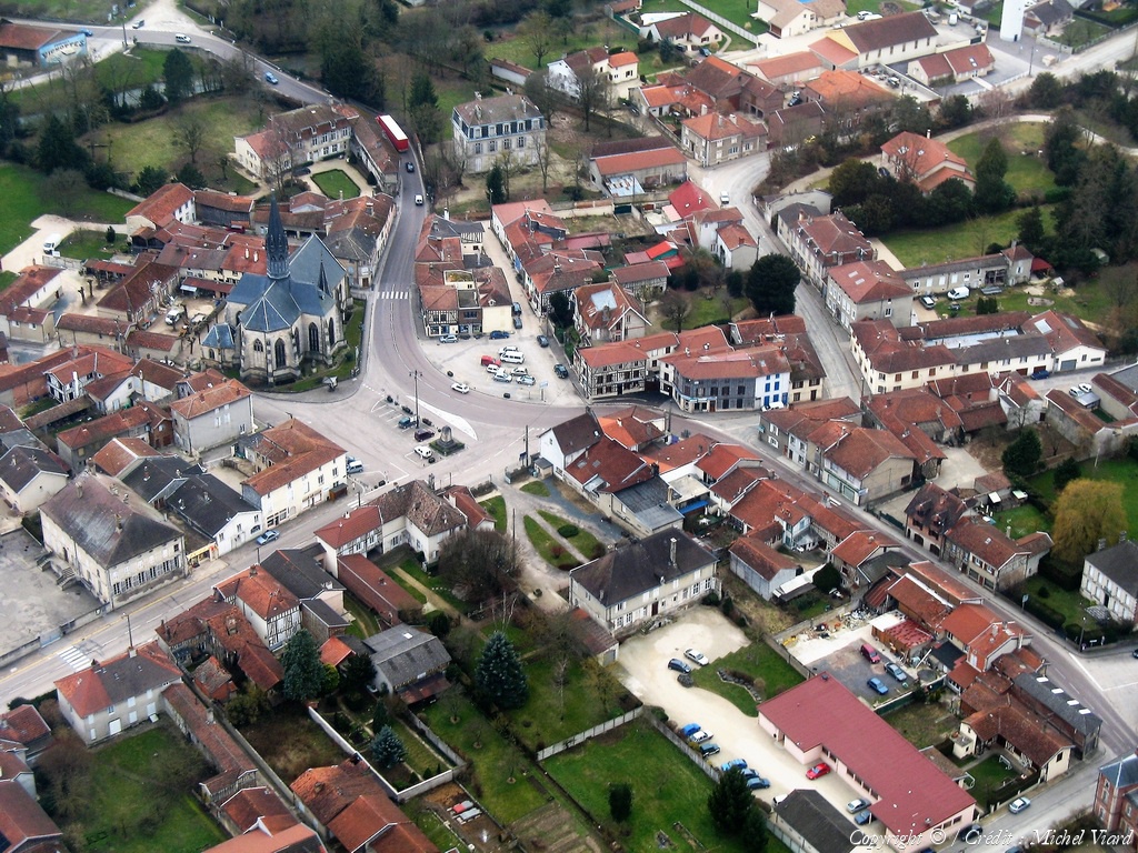
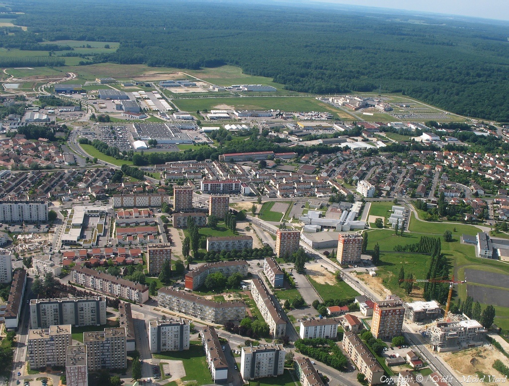
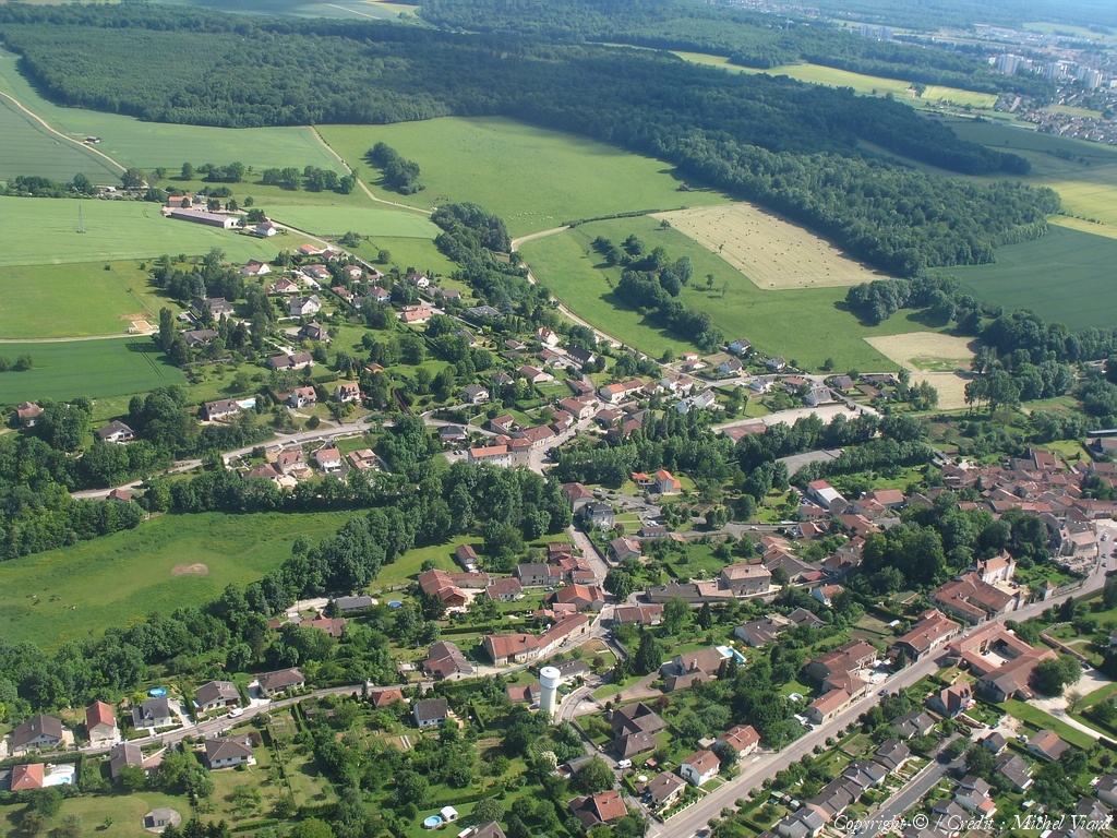
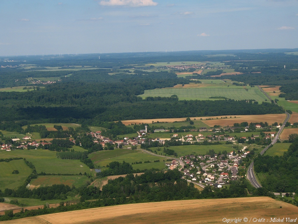
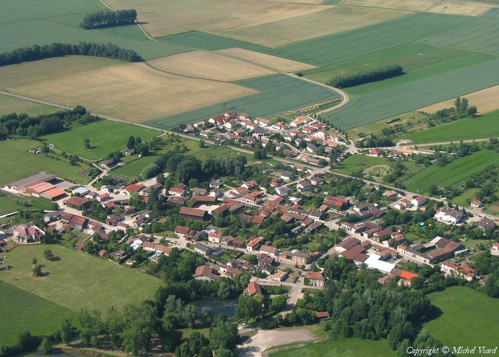
Pays :
France
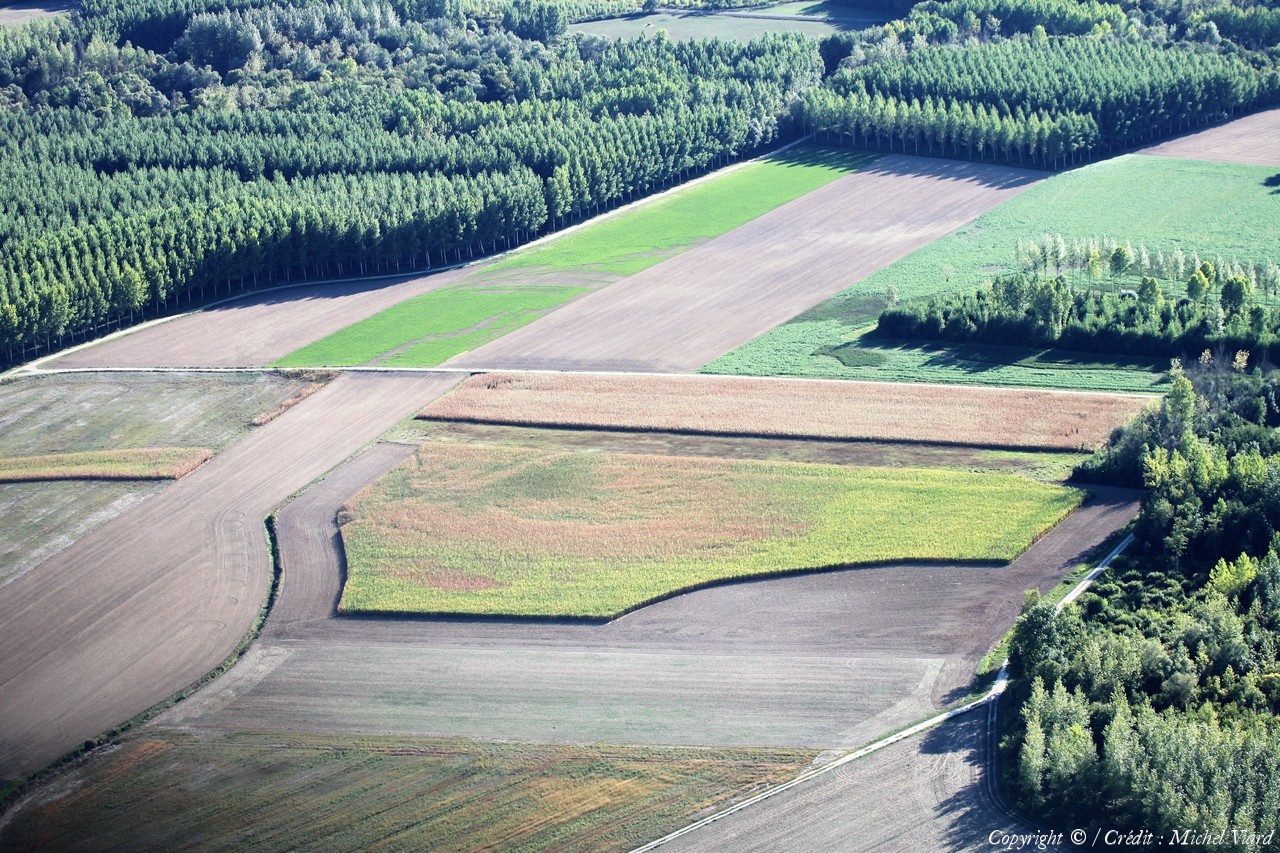
Département :
Haute-Marne (52)
Lieu :
Saint-Dizier
Coord. GPS :
48 38 11 N 04 58 58 E
Photographe :
Michel Viard
Prise le :
13/10/2018
Vue 95 fois (
0.92 fois/jour
)
Affiner la recherche
-
Situer sur la carte
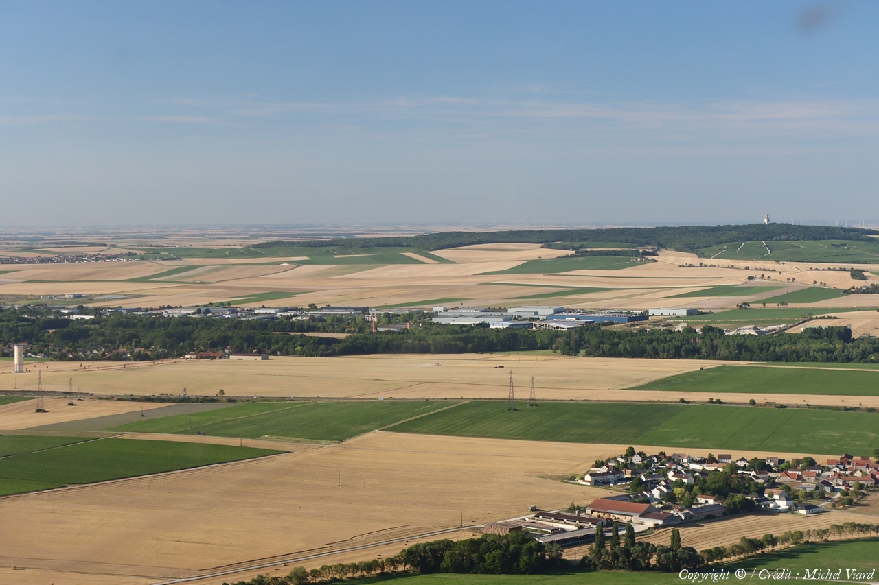
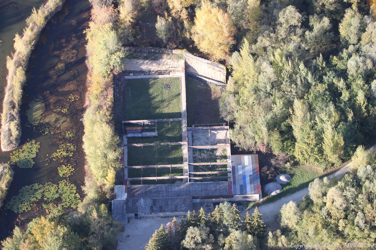
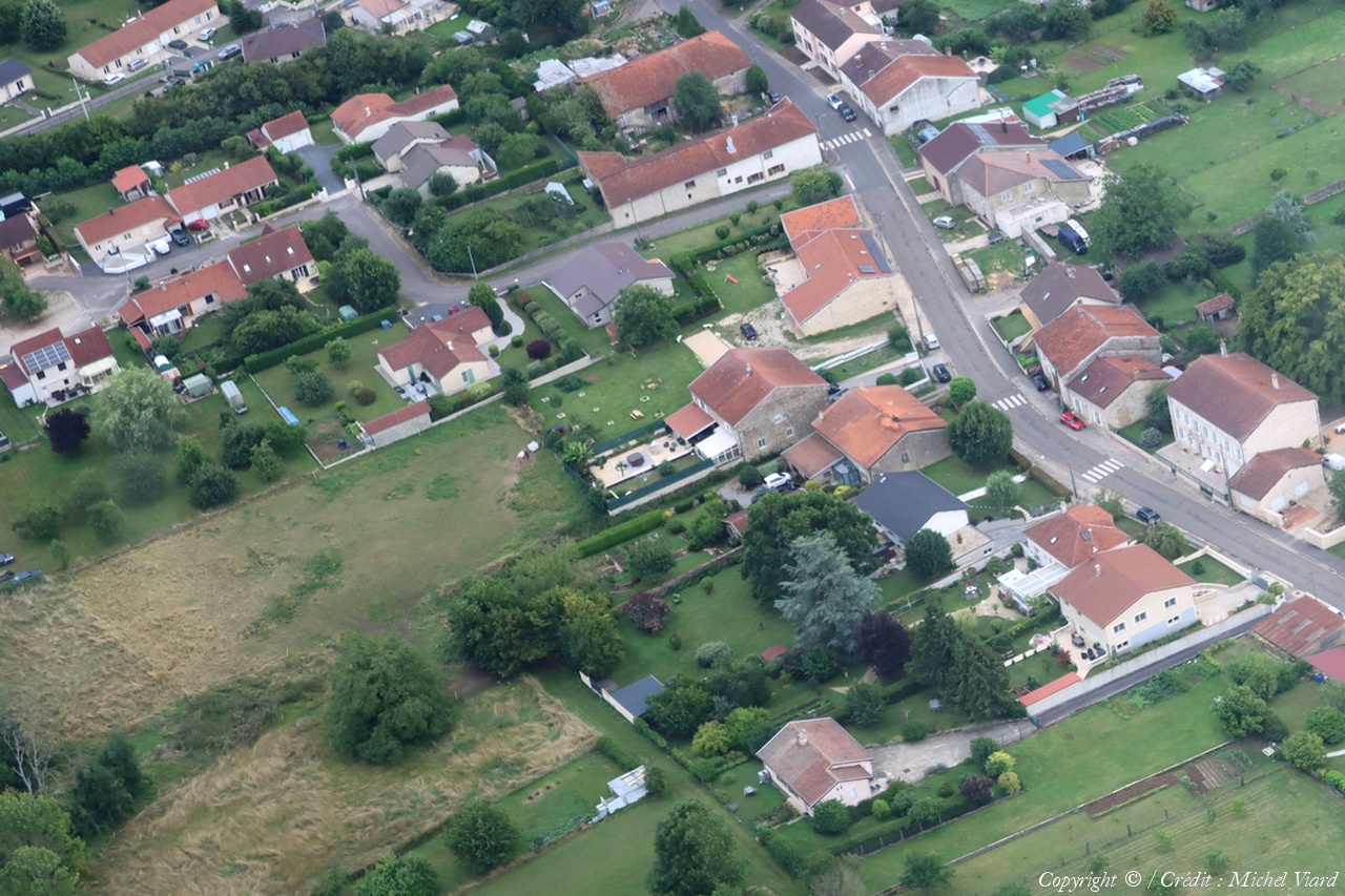
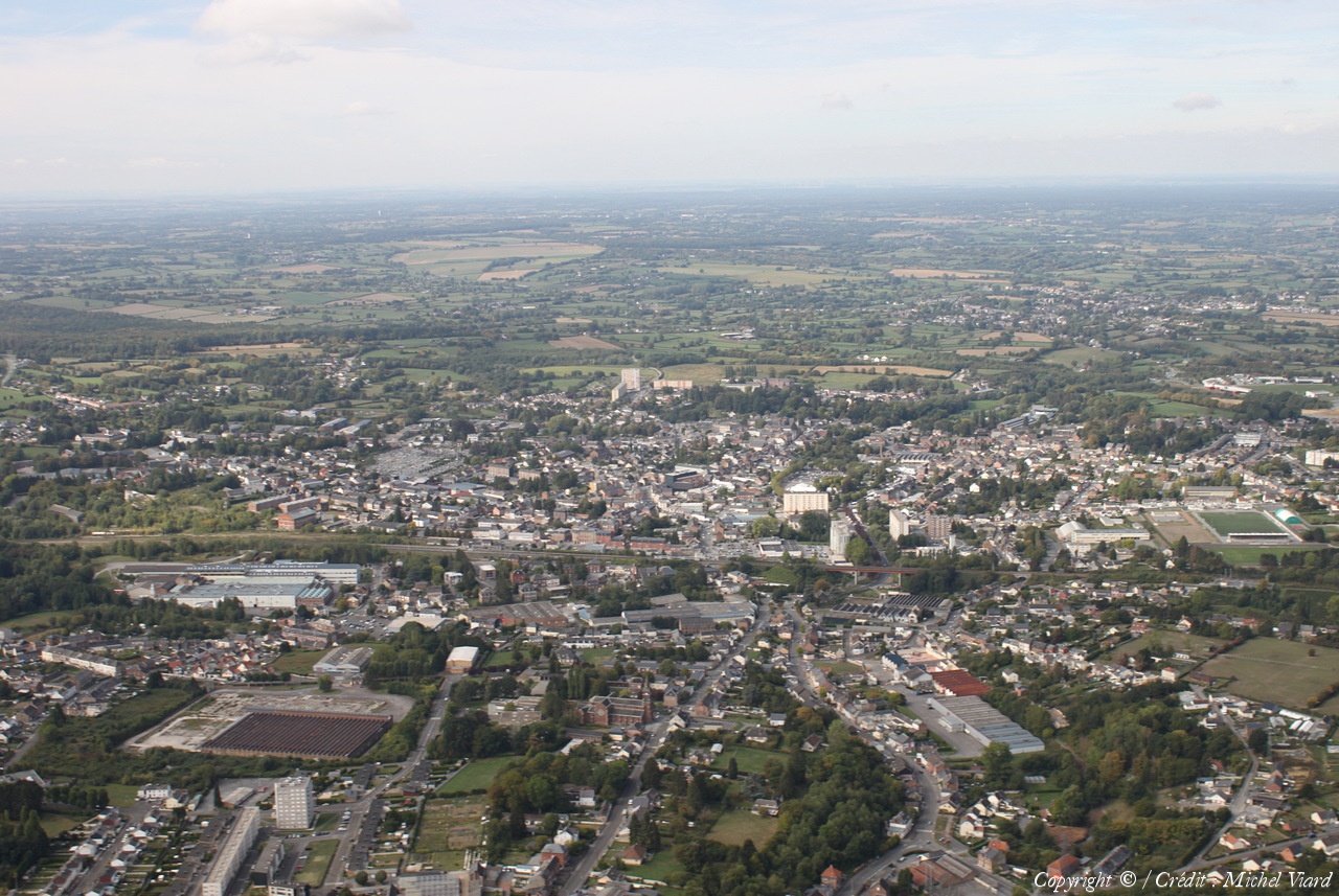
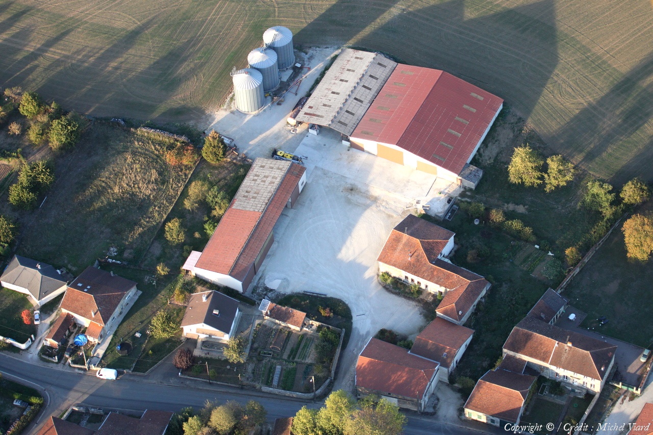
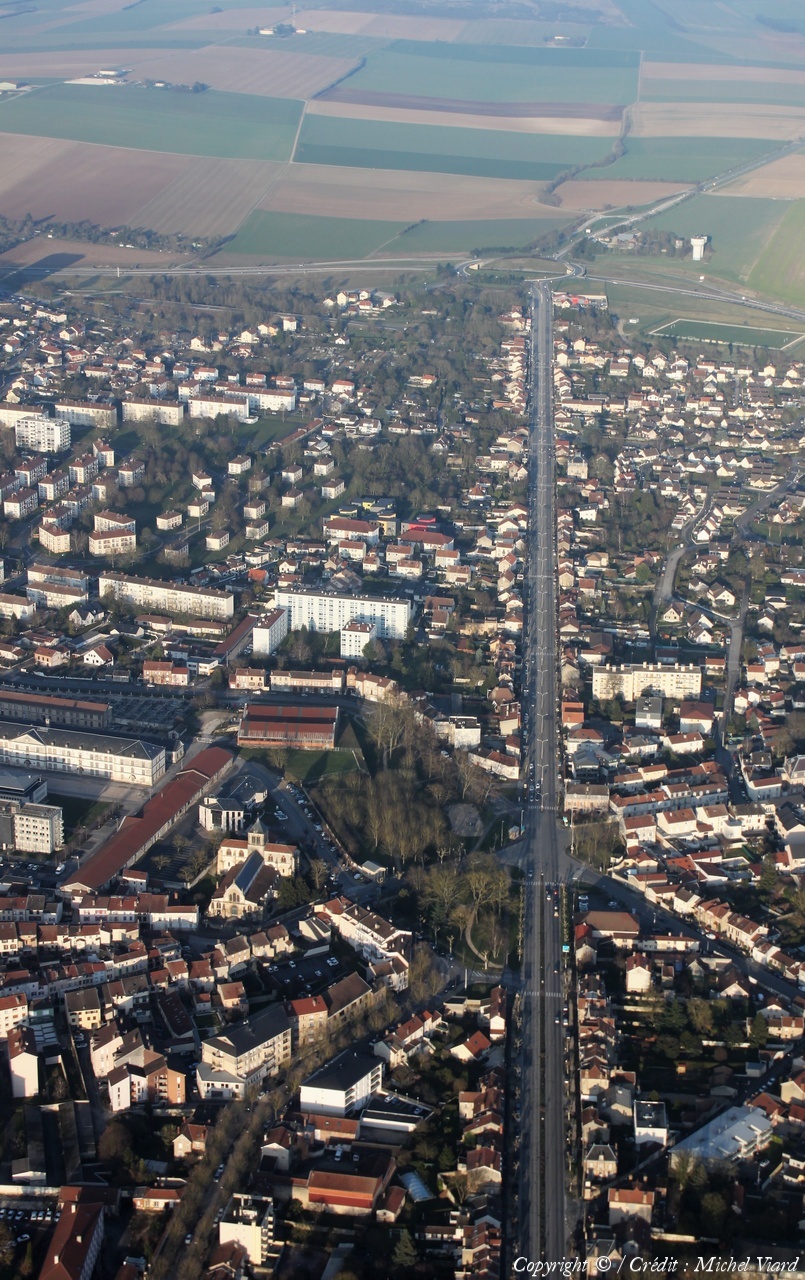
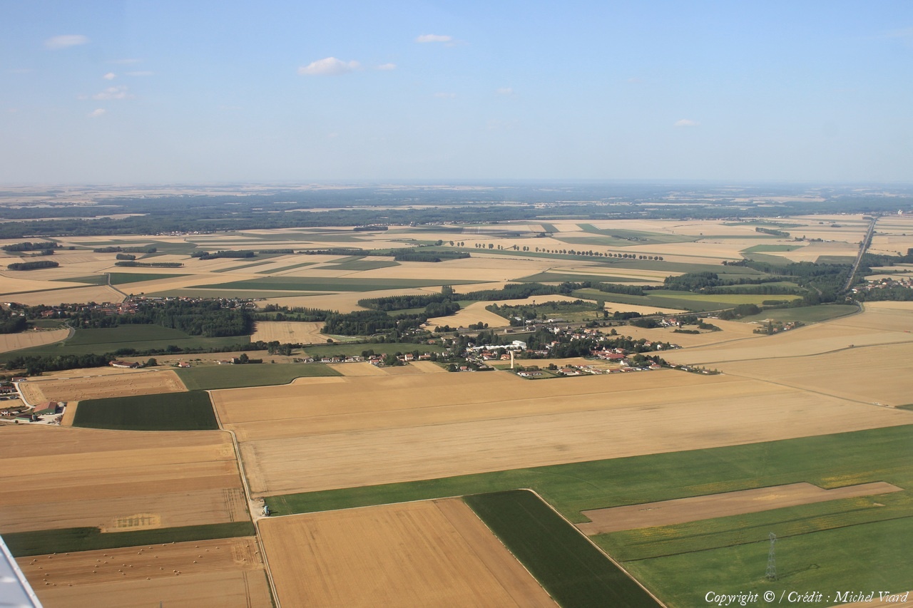
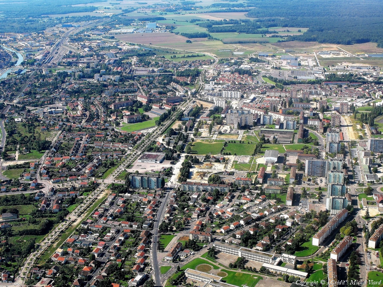
Pays :
France
Département :
Haute-Marne (52)
Lieu :
Saint-Dizier
Coord. GPS :
48 38 11 N 04 58 58 E
Photographe :
Michel Viard
Prise le :
13/10/2018
Vue 100 fois (
0.97 fois/jour
)
Affiner la recherche
-
Situer sur la carte
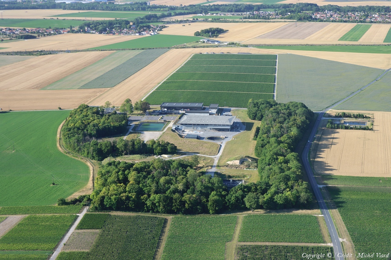
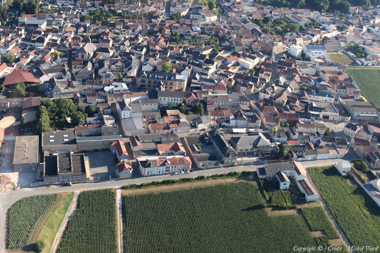
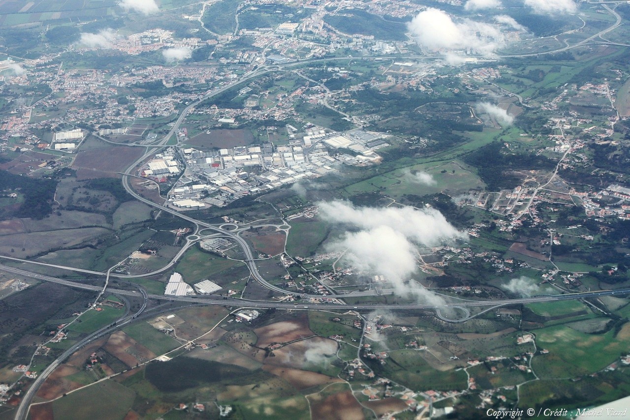
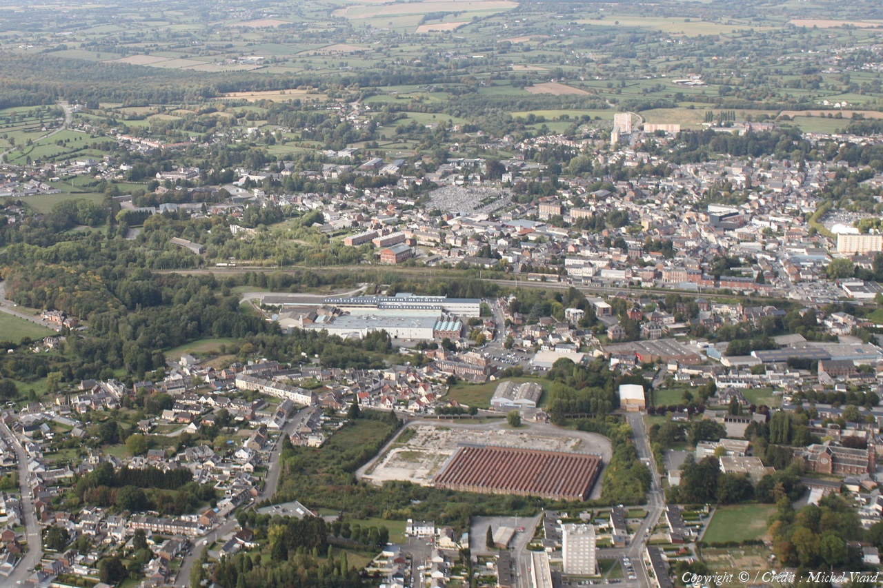
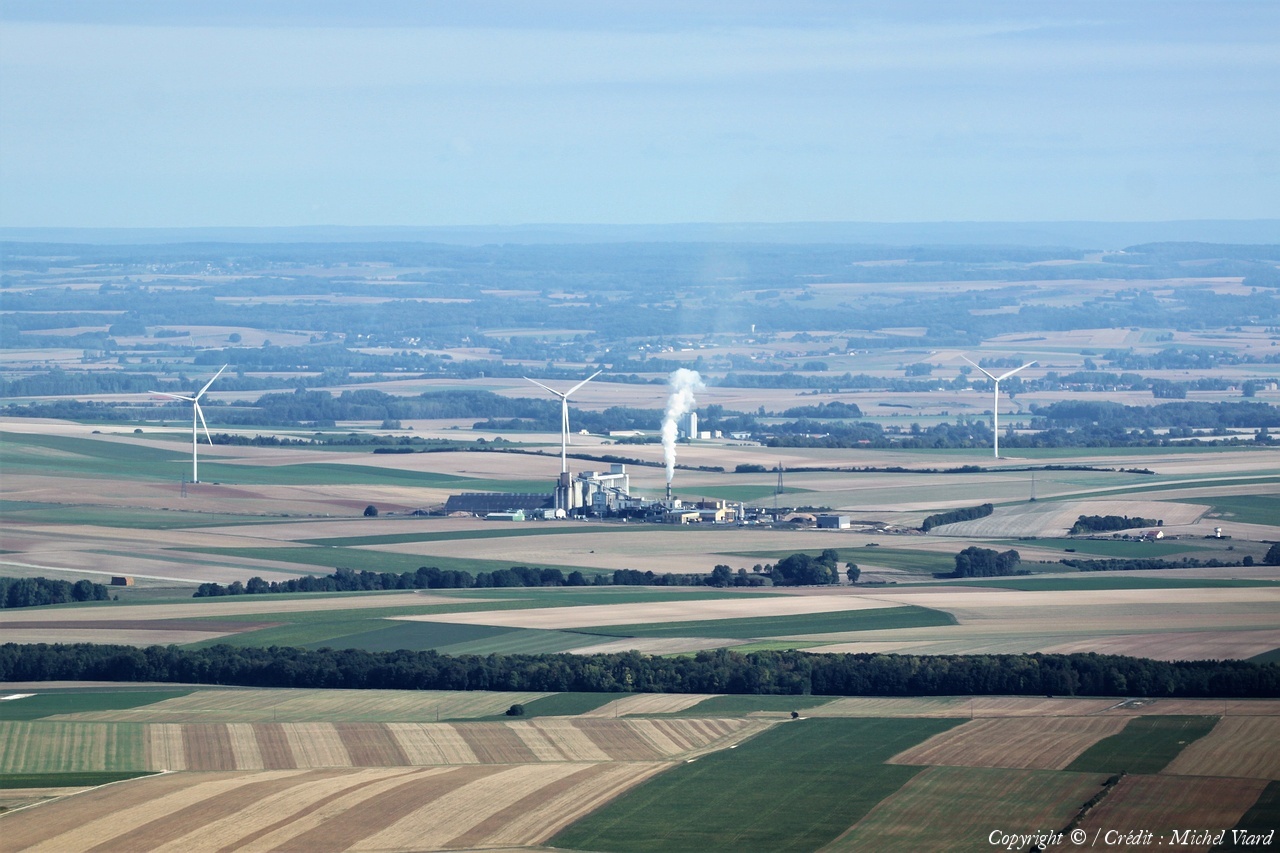
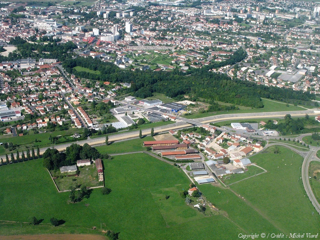
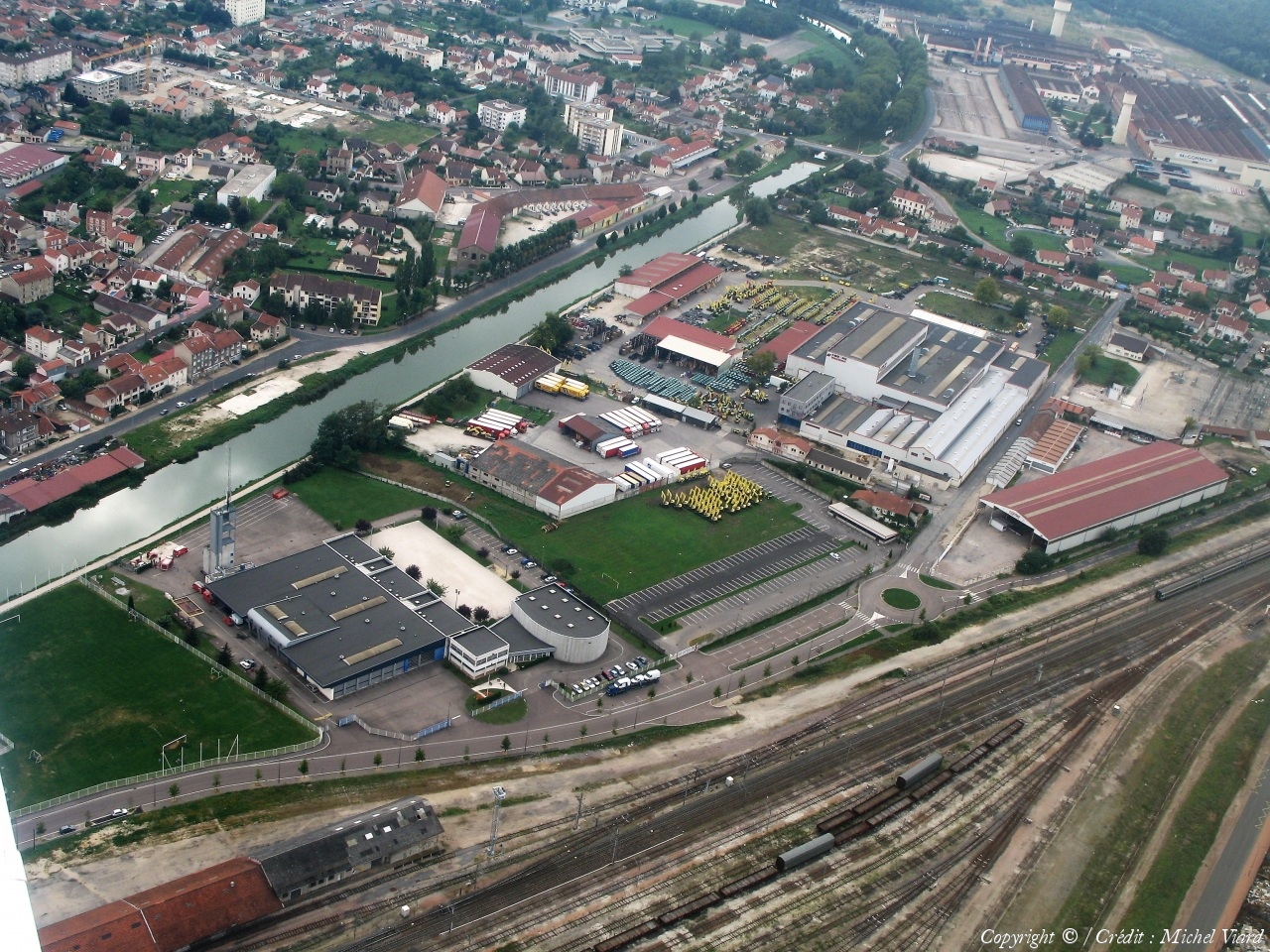
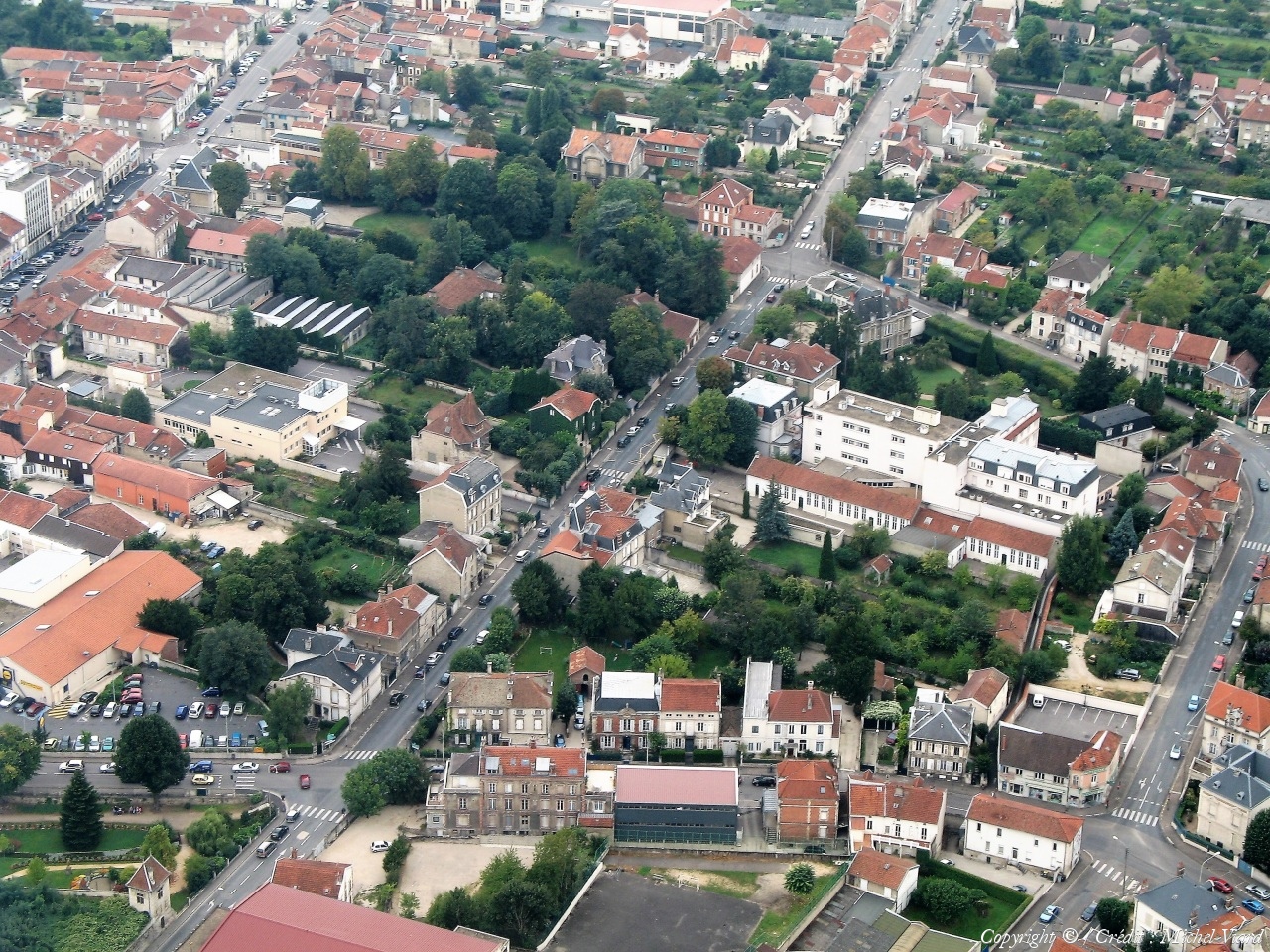
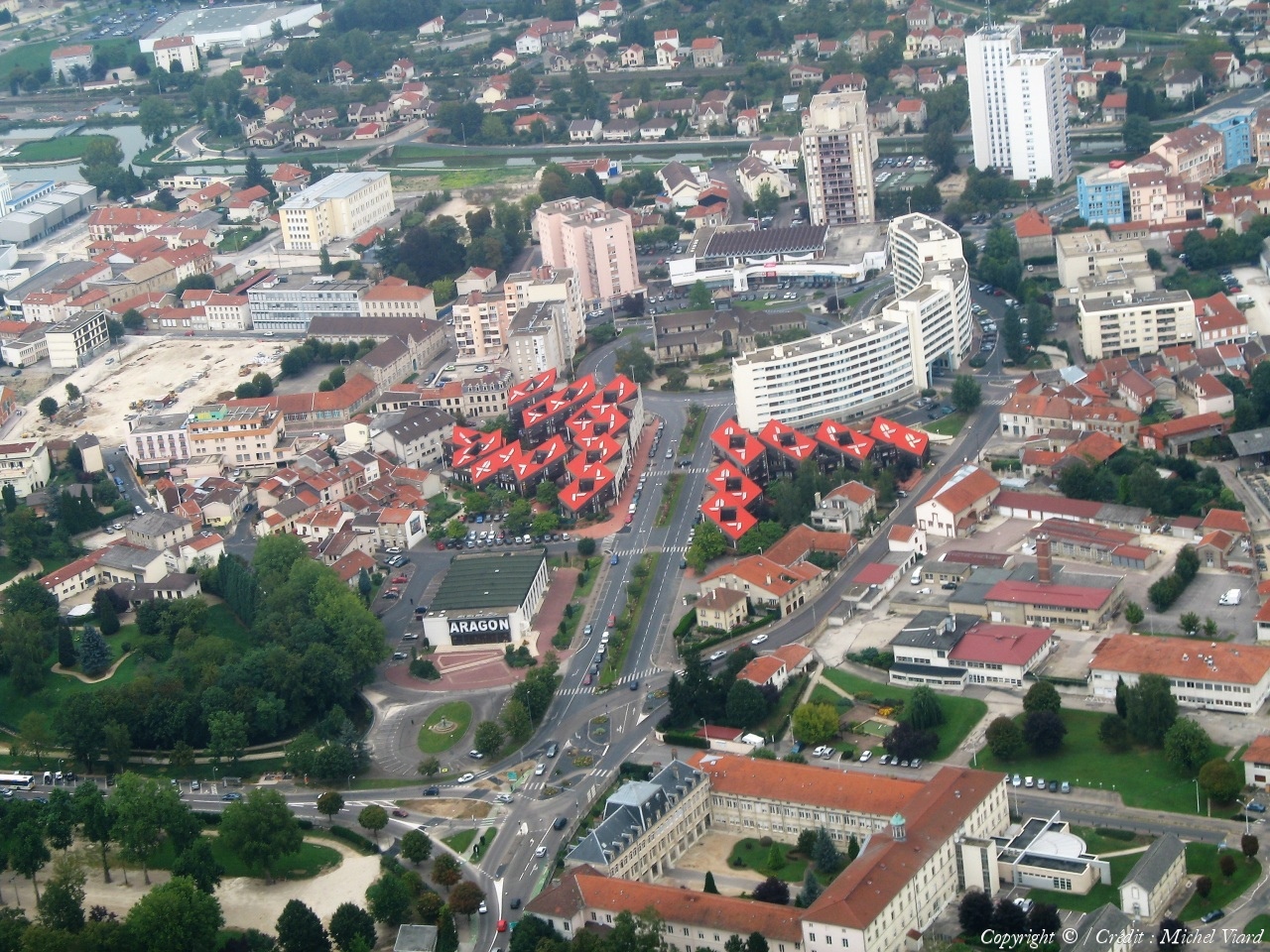
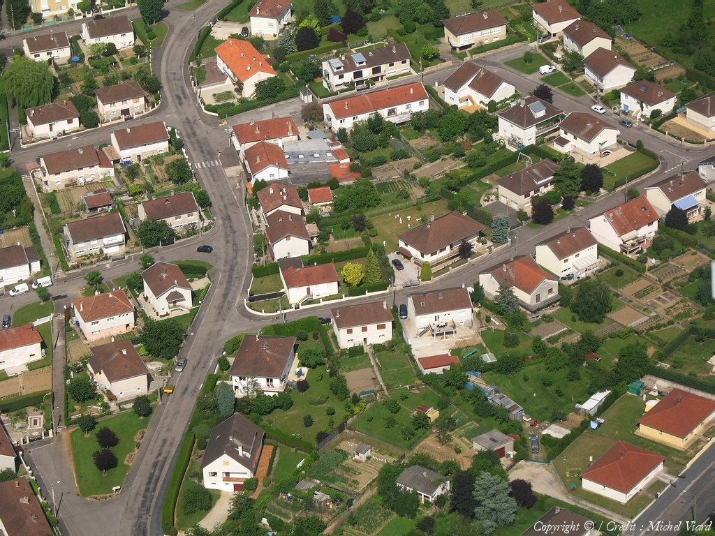
Pays :
France
Département :
Haute-Marne (52)
Lieu :
Saint-Dizier
Coord. GPS :
48 38 11 N 04 58 58 E
Photographe :
Michel Viard
Prise le :
13/10/2018
Vue 96 fois (
0.93 fois/jour
)
Affiner la recherche
-
Situer sur la carte
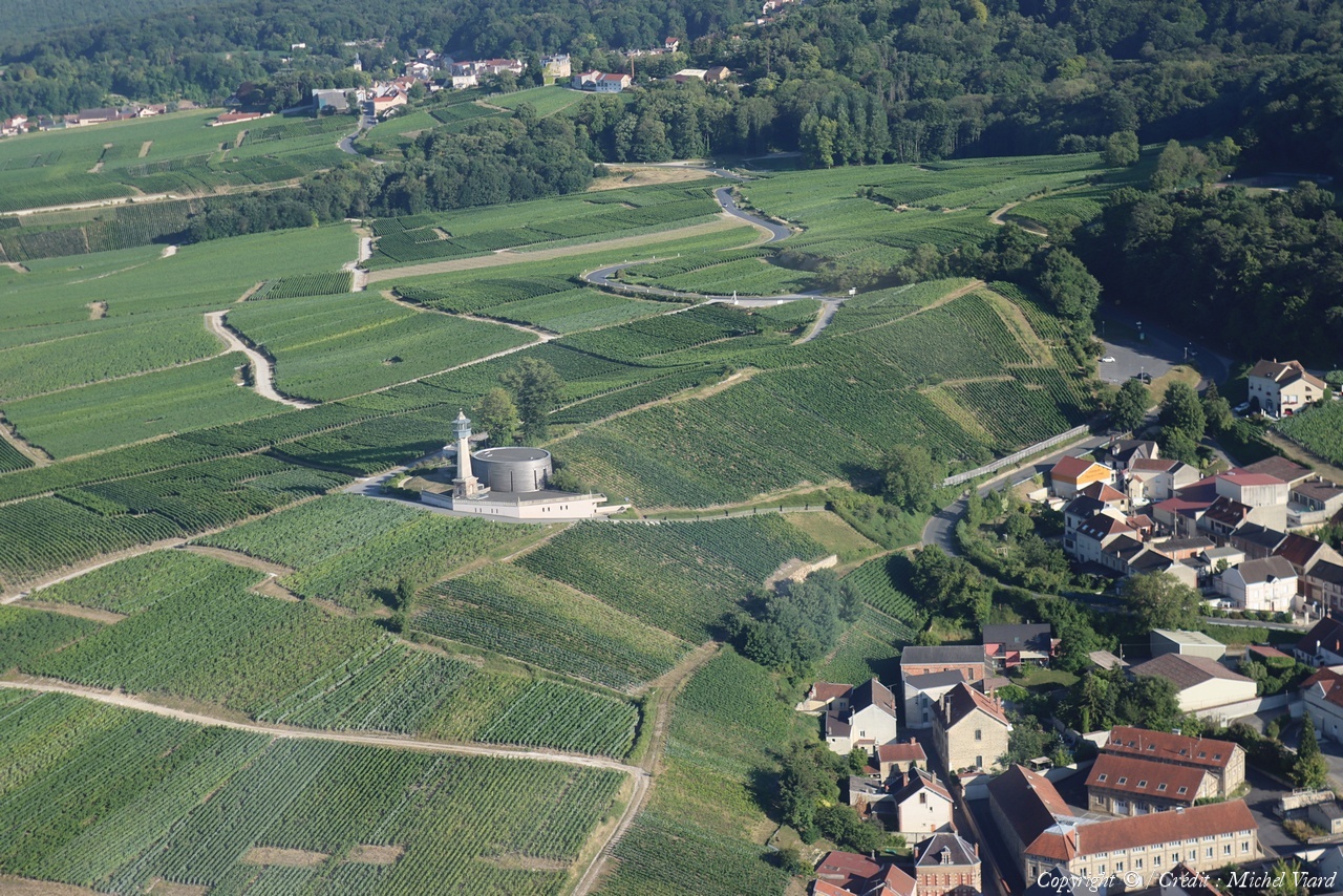
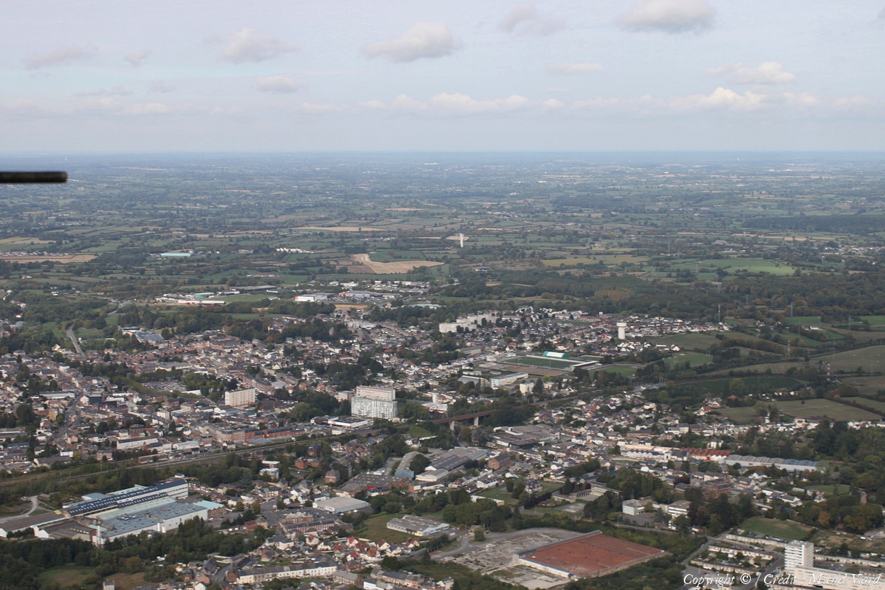
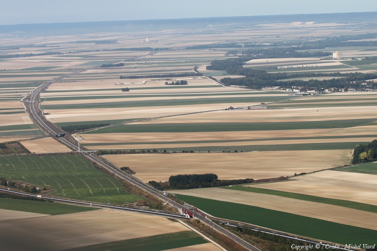
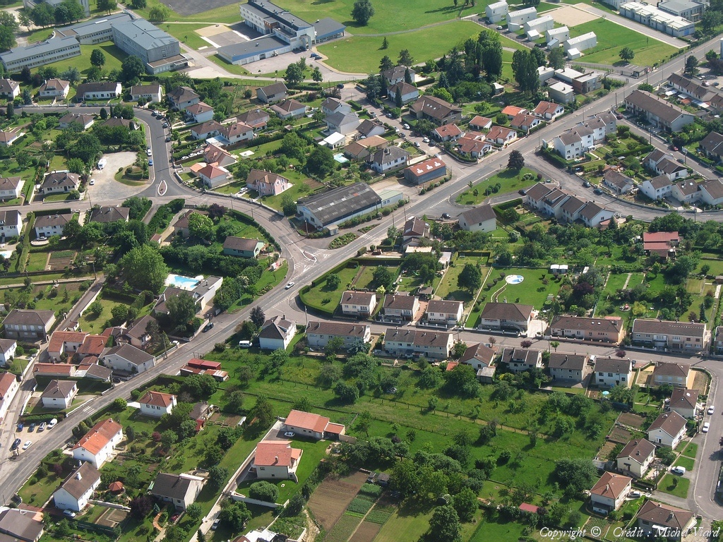
Pays :
France
Département :
Haute-Marne (52)
Lieu :
Saint-Dizier
Coord. GPS :
48 38 11 N 04 58 58 E
Photographe :
Michel Viard
Prise le :
13/10/2018
Vue 98 fois (
0.95 fois/jour
)
Affiner la recherche
-
Situer sur la carte
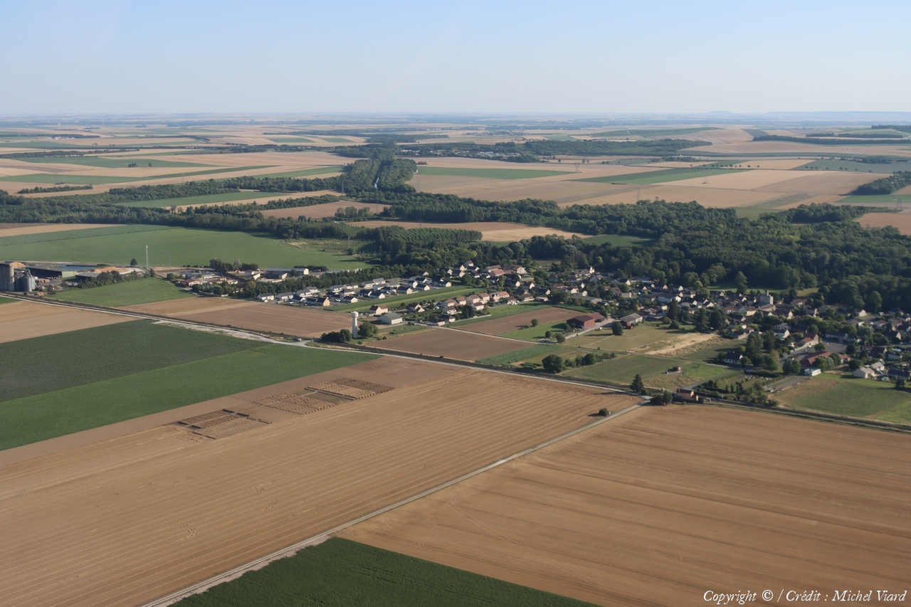
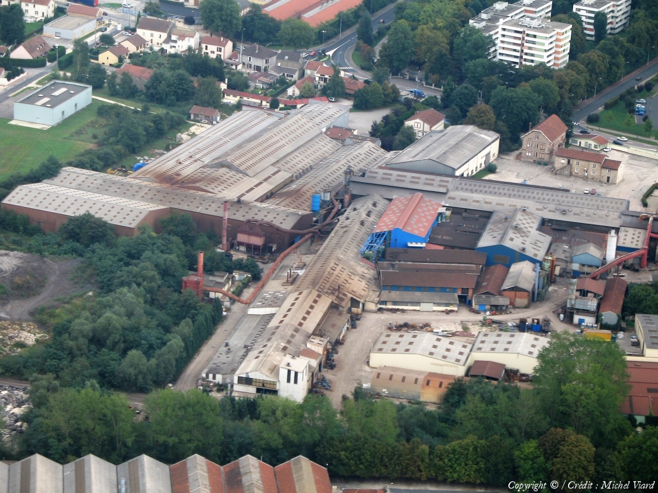
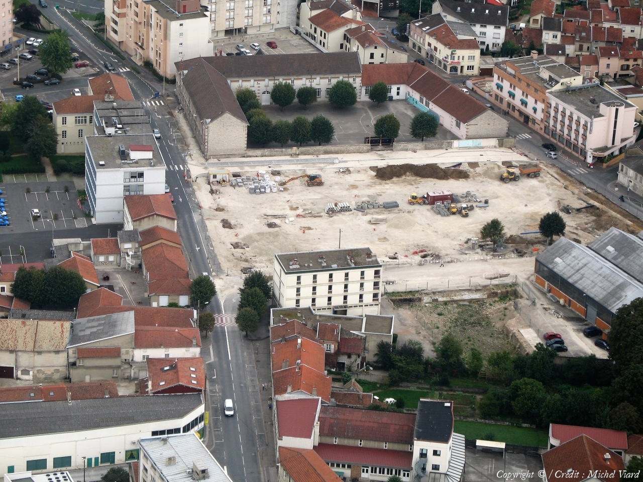
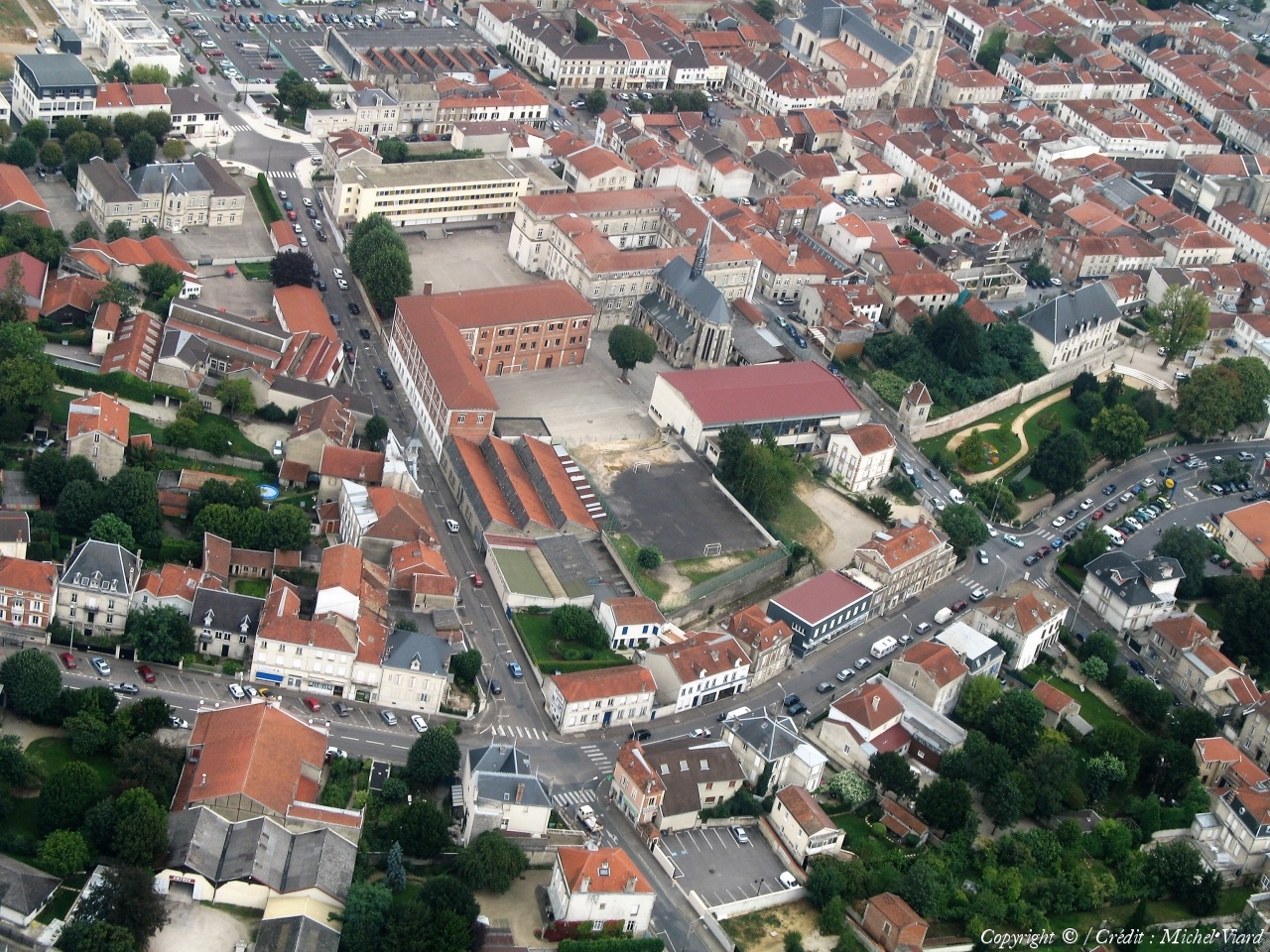
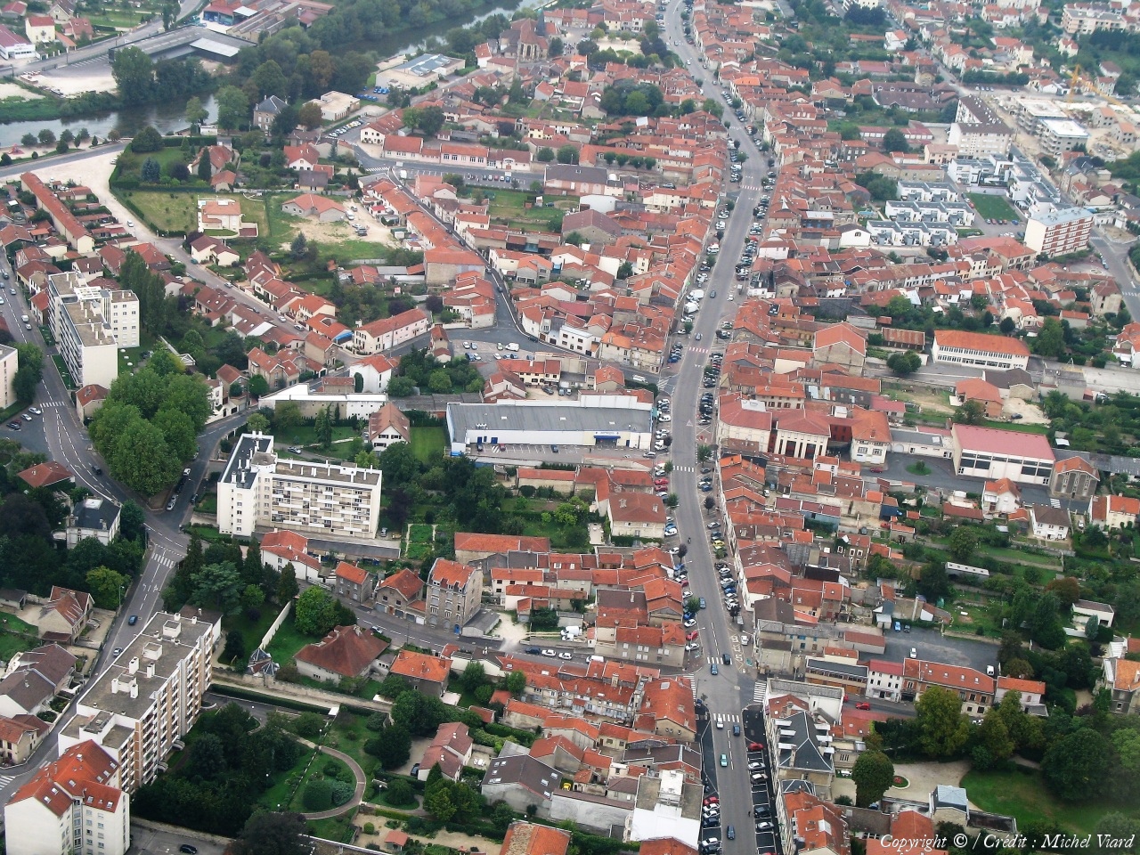
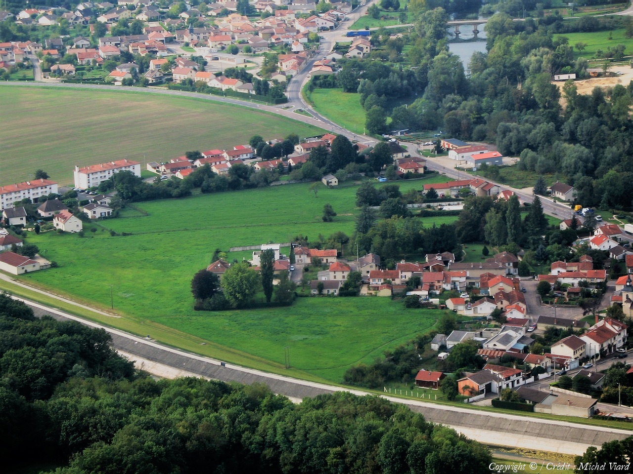
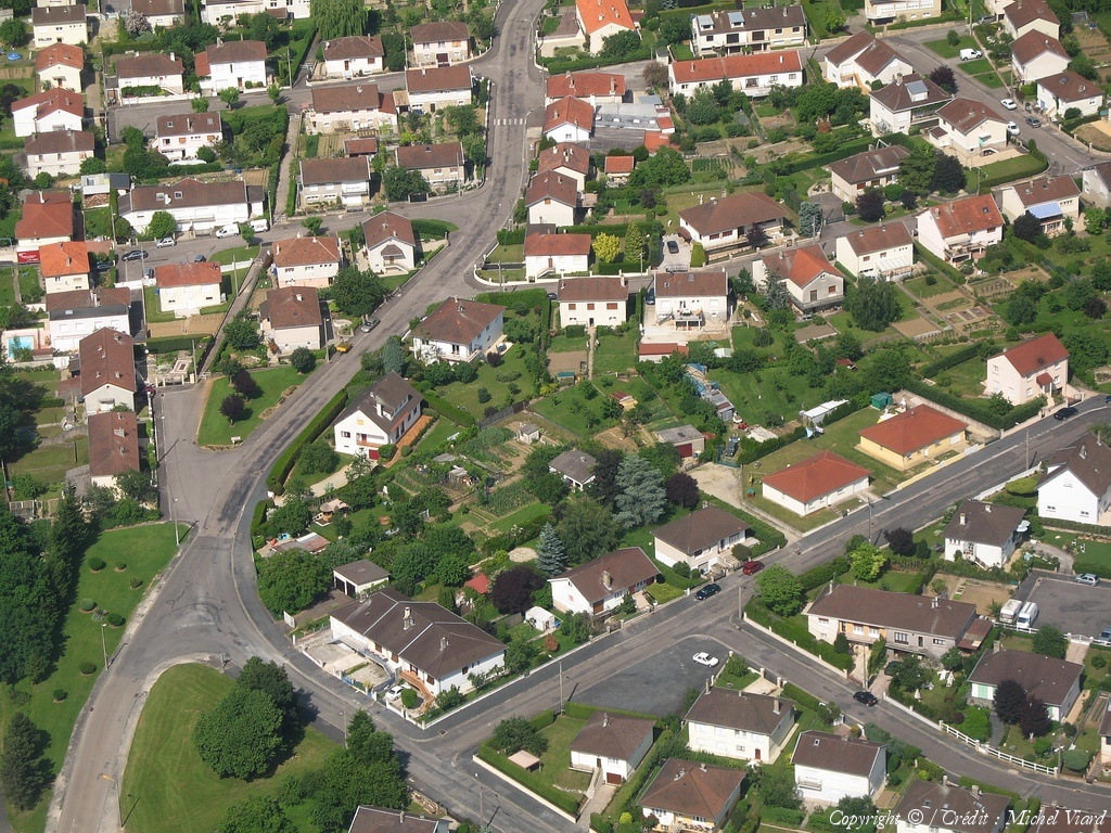
Pays :
France
Département :
Haute-Marne (52)
Lieu :
Saint-Dizier
Coord. GPS :
48 38 11 N 04 58 58 E
Photographe :
Michel Viard
Prise le :
13/10/2018
Vue 95 fois (
0.92 fois/jour
)
Affiner la recherche
-
Situer sur la carte
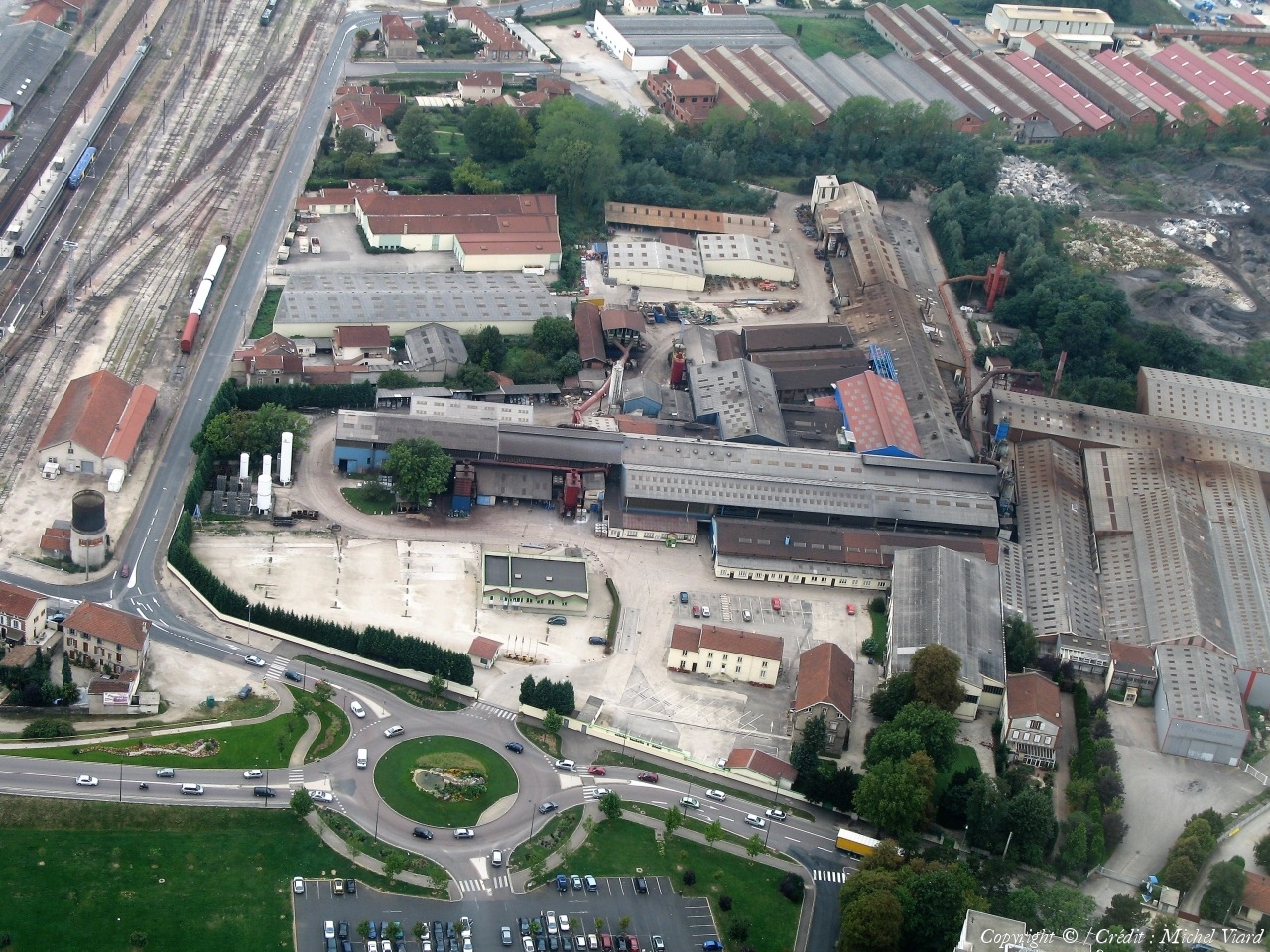
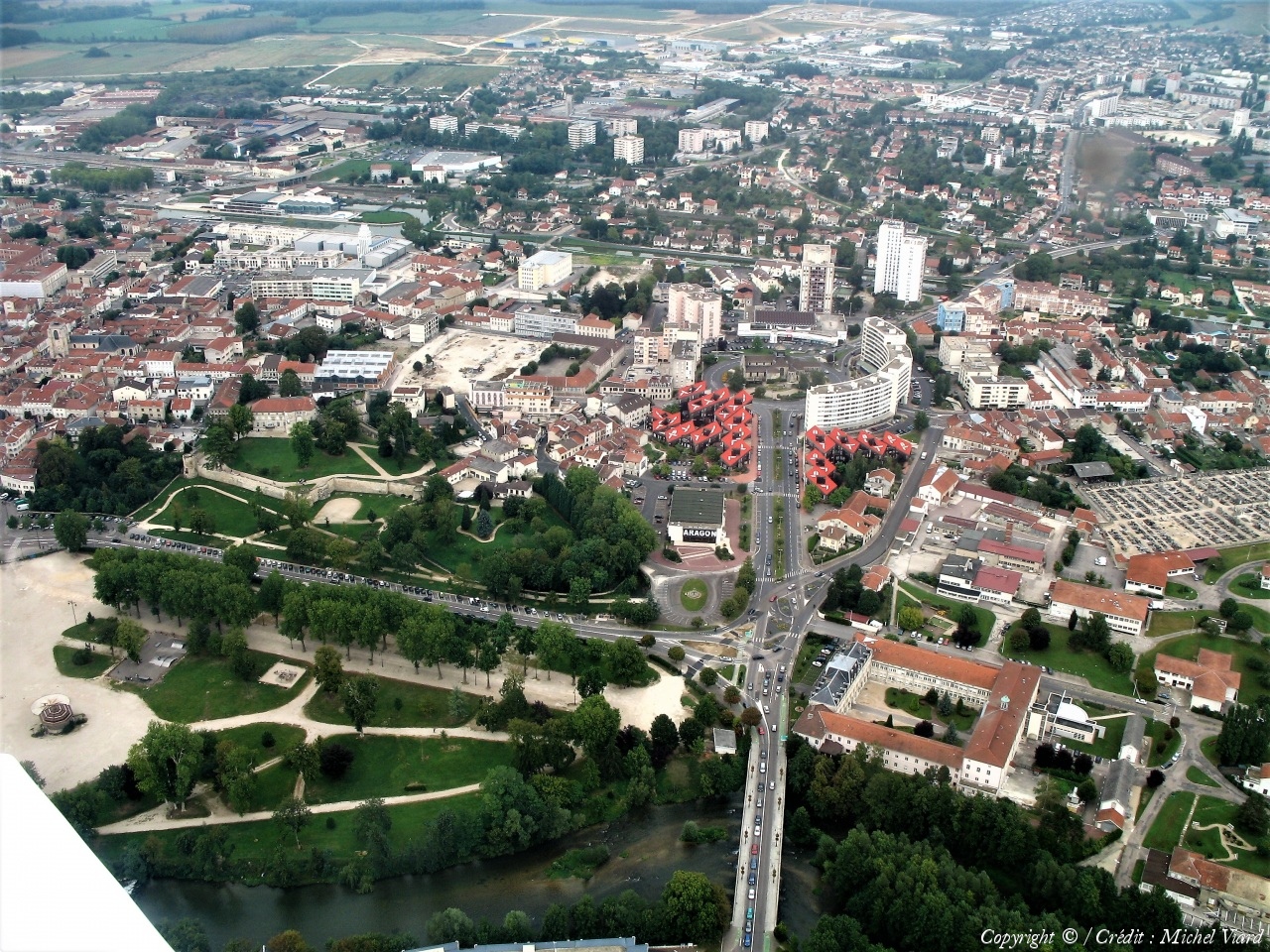
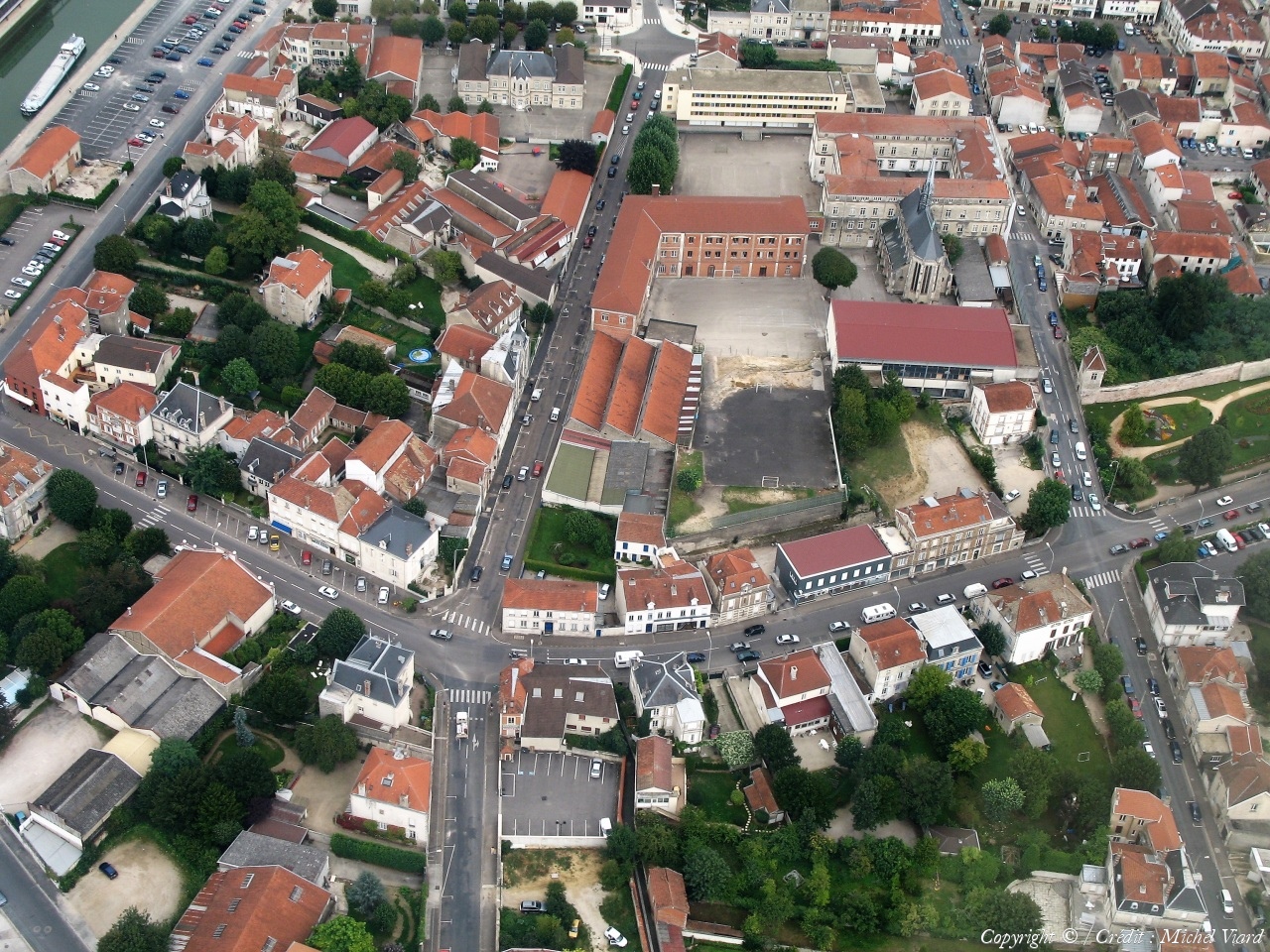
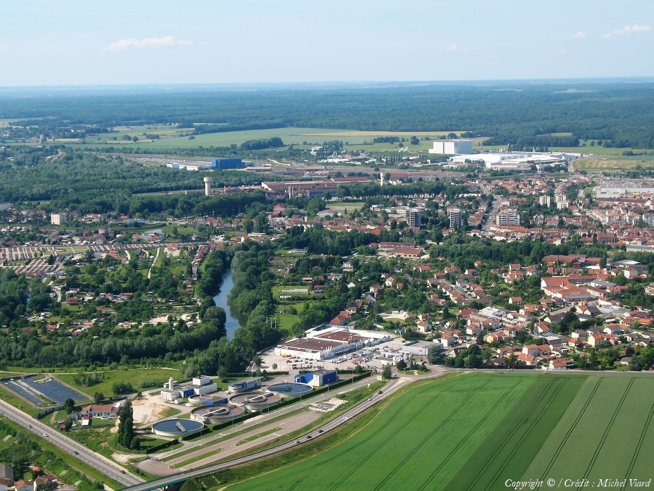
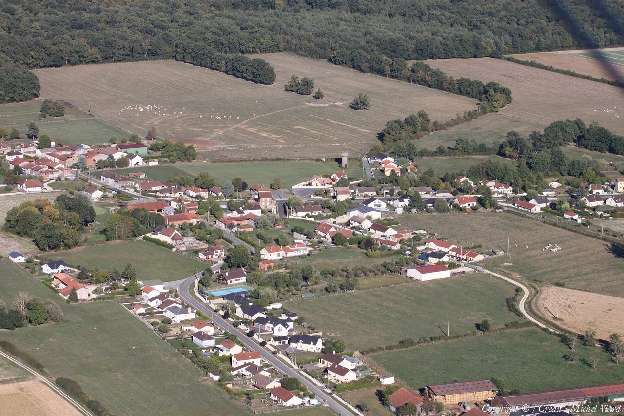
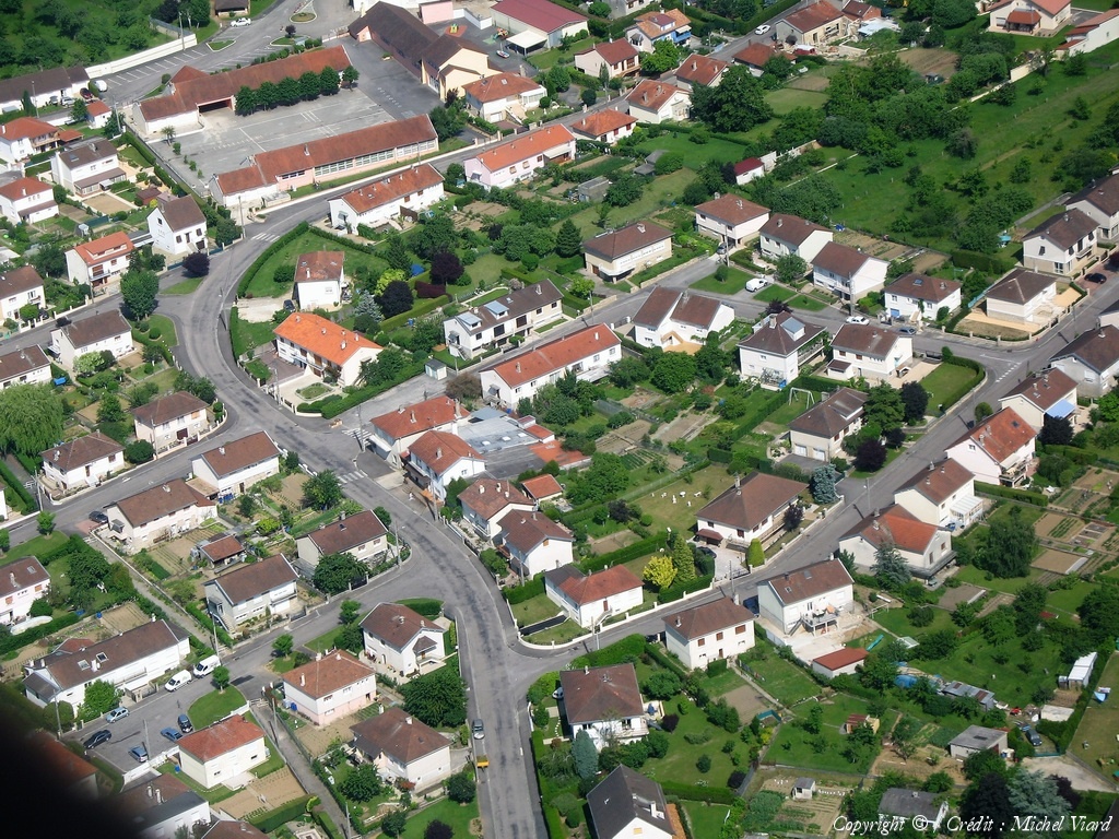
Pays :
France
Département :
Haute-Marne (52)
Lieu :
Saint-Dizier
Coord. GPS :
48 38 11 N 04 58 58 E
Photographe :
Michel Viard
Prise le :
13/10/2018
Vue 113 fois (
1.10 fois/jour
)
Affiner la recherche
-
Situer sur la carte
Pays :
France
Département :
Haute-Marne (52)
Lieu :
Saint-Dizier
Coord. GPS :
48 38 11 N 04 58 58 E
Photographe :
Michel Viard
Prise le :
13/10/2018
Vue 111 fois (
1.08 fois/jour
)
Affiner la recherche
-
Situer sur la carte
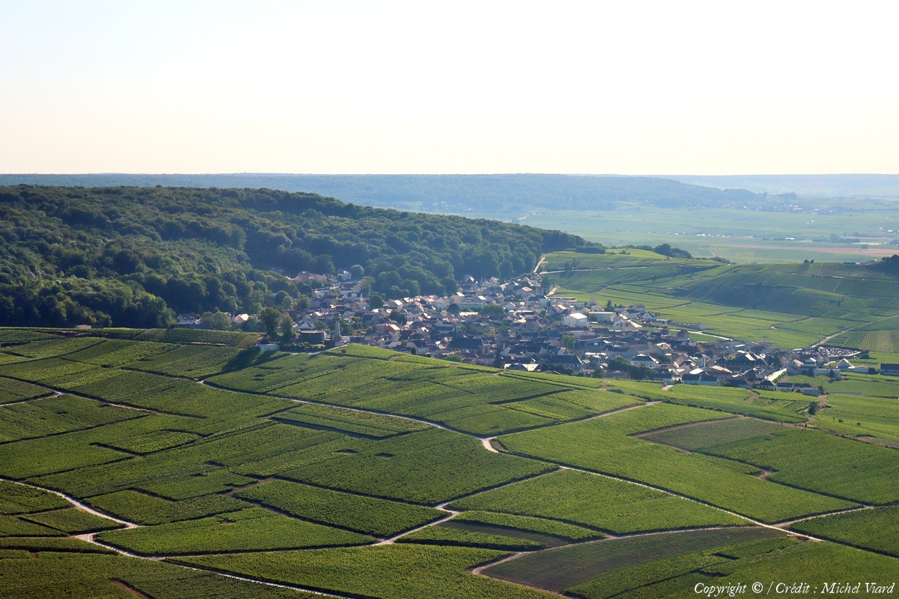
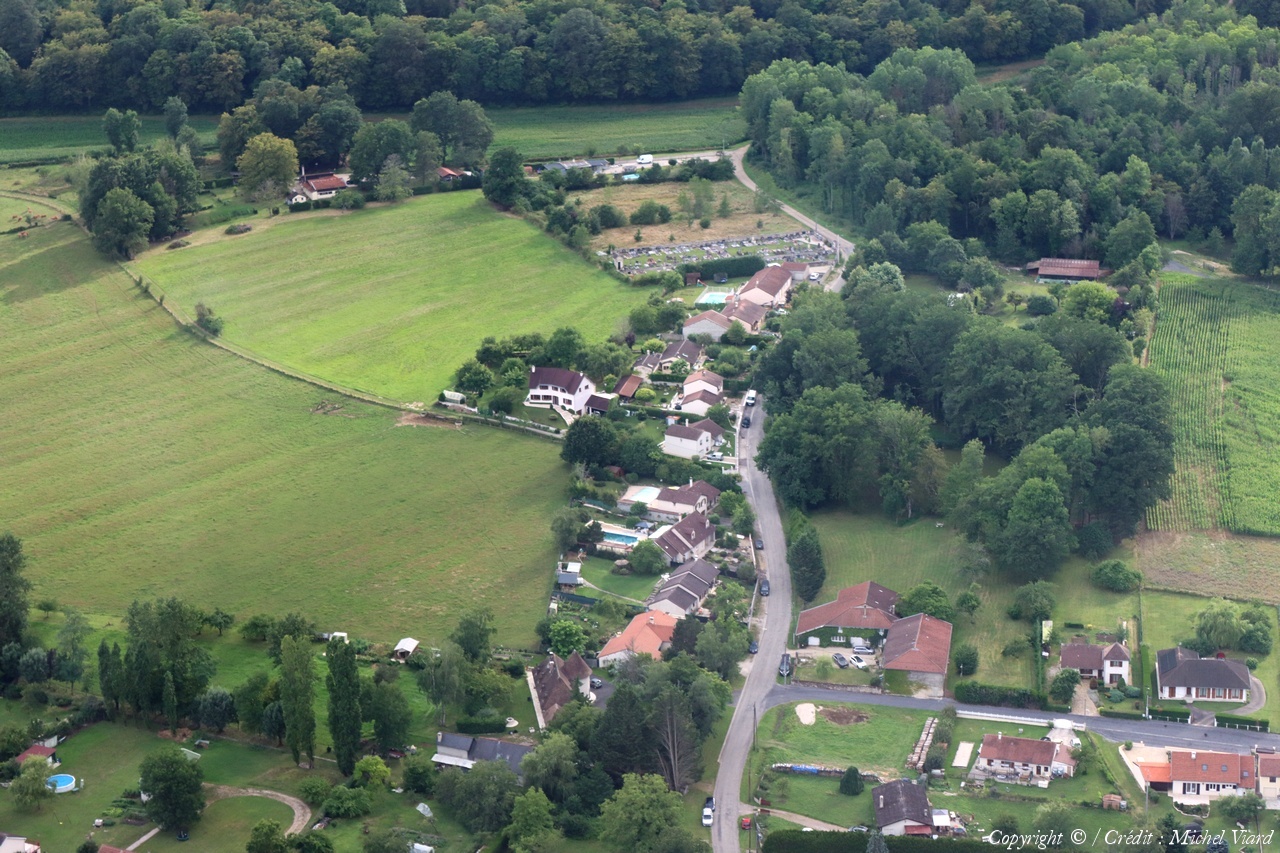
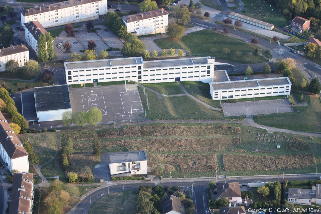
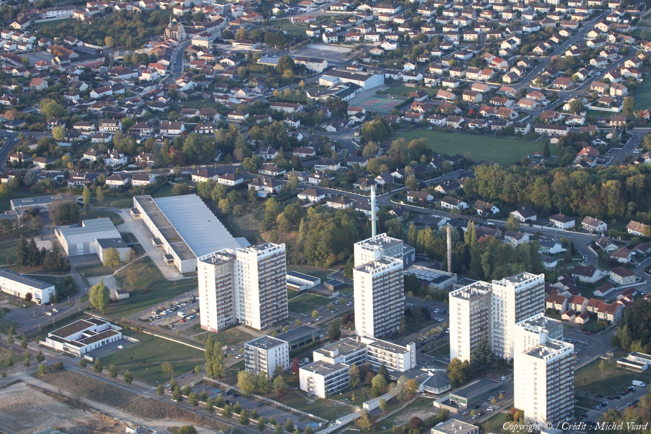
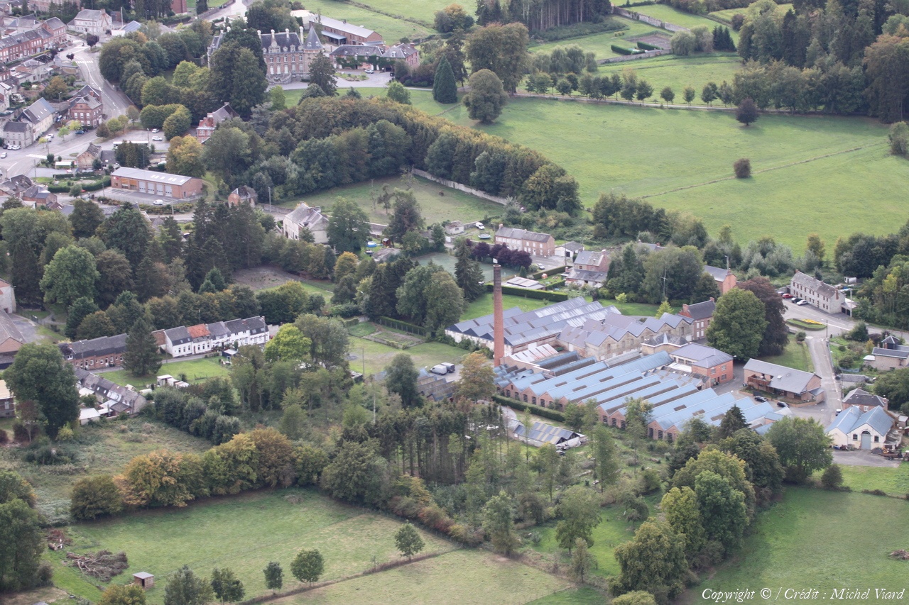
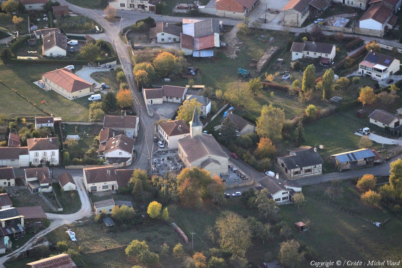
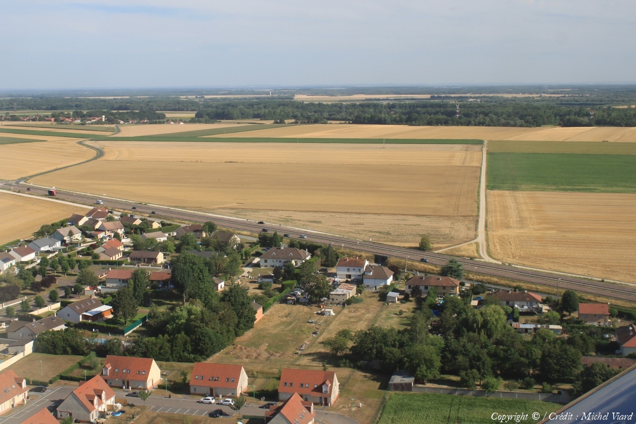
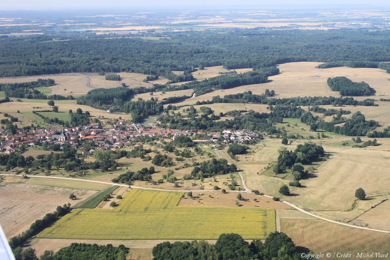
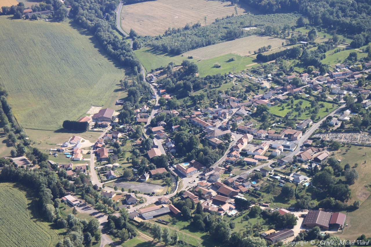
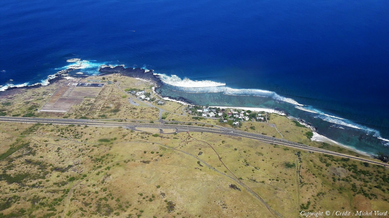
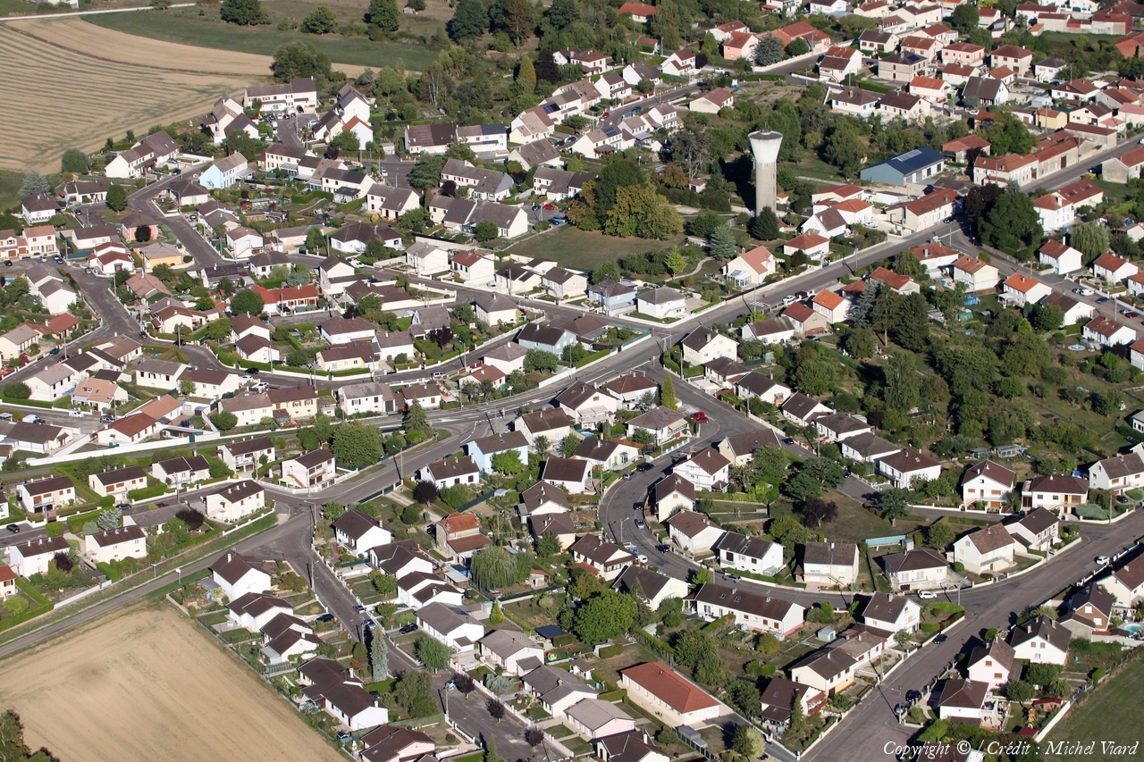
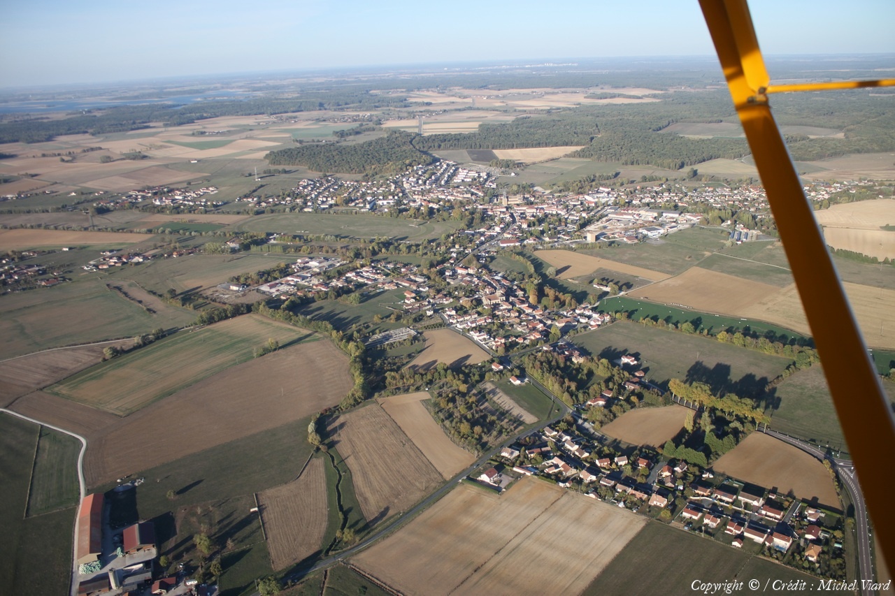
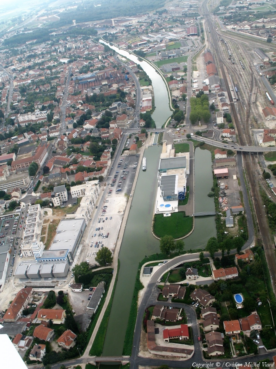
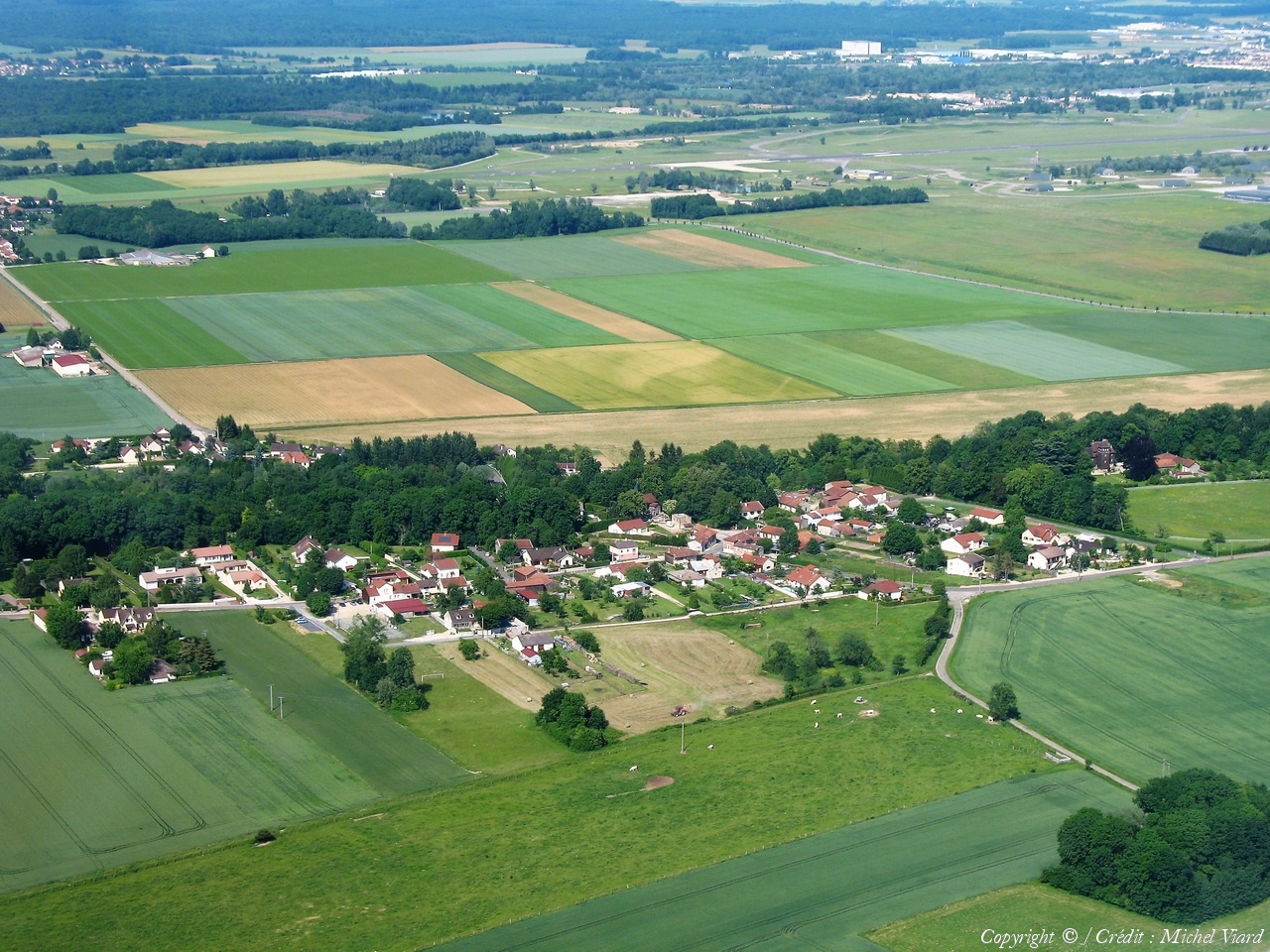
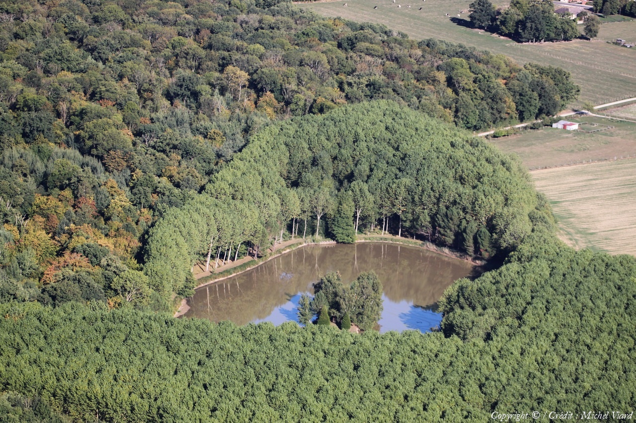
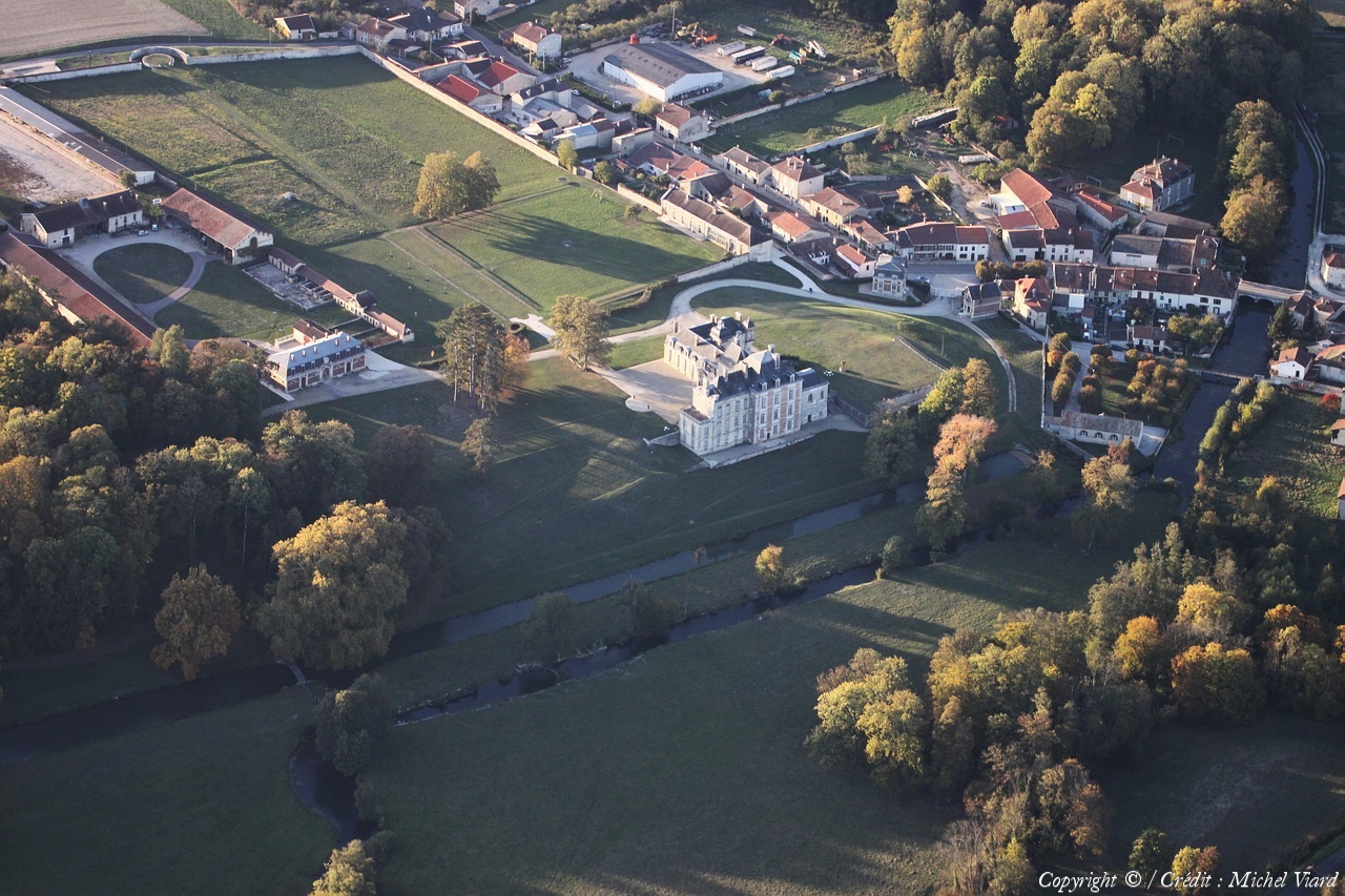
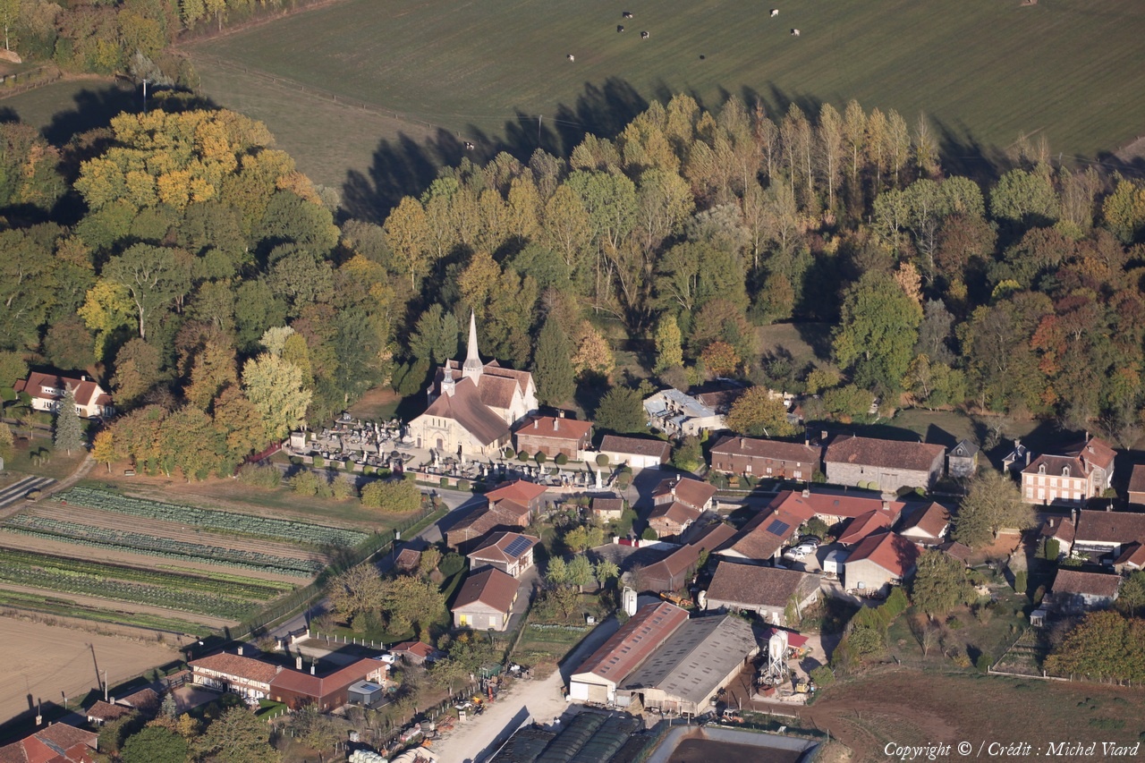
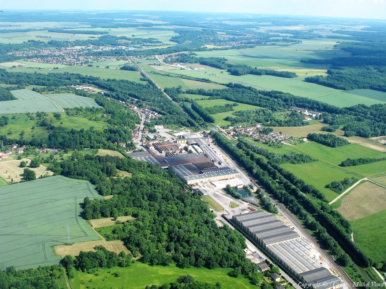
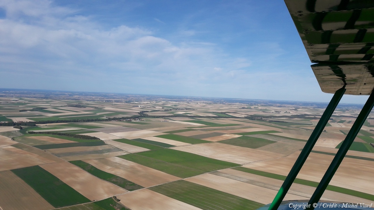
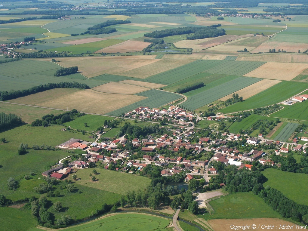
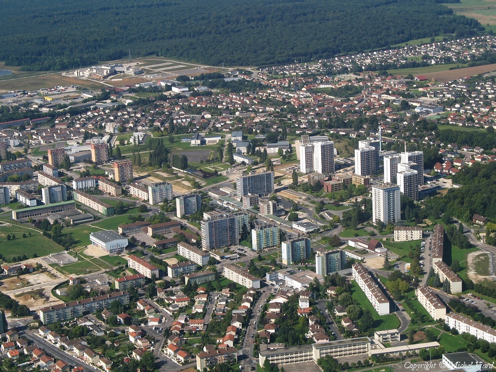
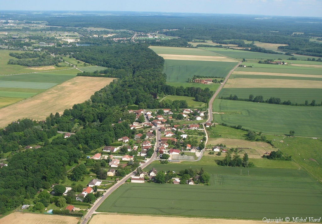
Pays :
France
Département :
Haute-Marne (52)
Lieu :
Saint-Dizier
Coord. GPS :
48 38 51 N 04 55 01 E
Photographe :
Michel Viard
Prise le :
13/10/2018
Vue 120 fois (
1.17 fois/jour
)
Affiner la recherche
-
Situer sur la carte
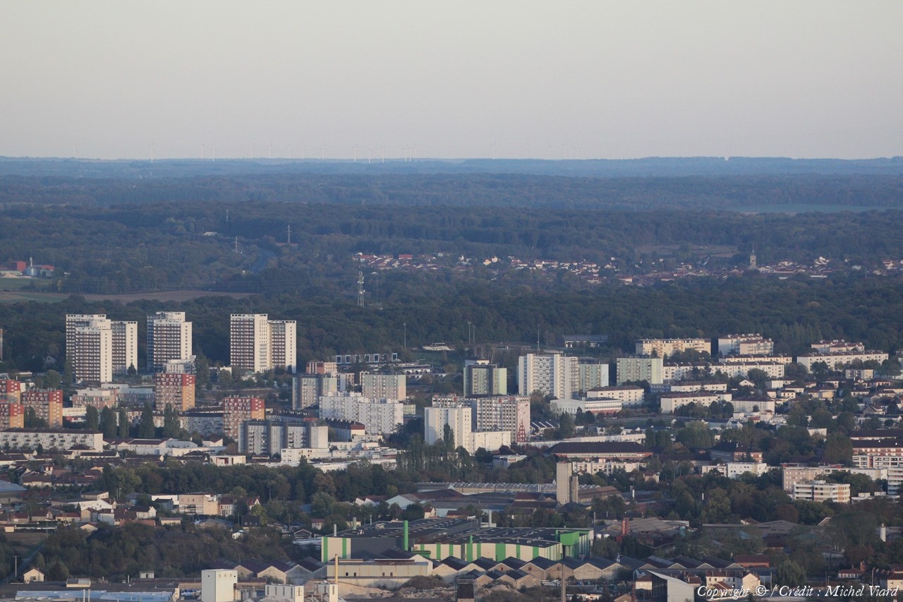
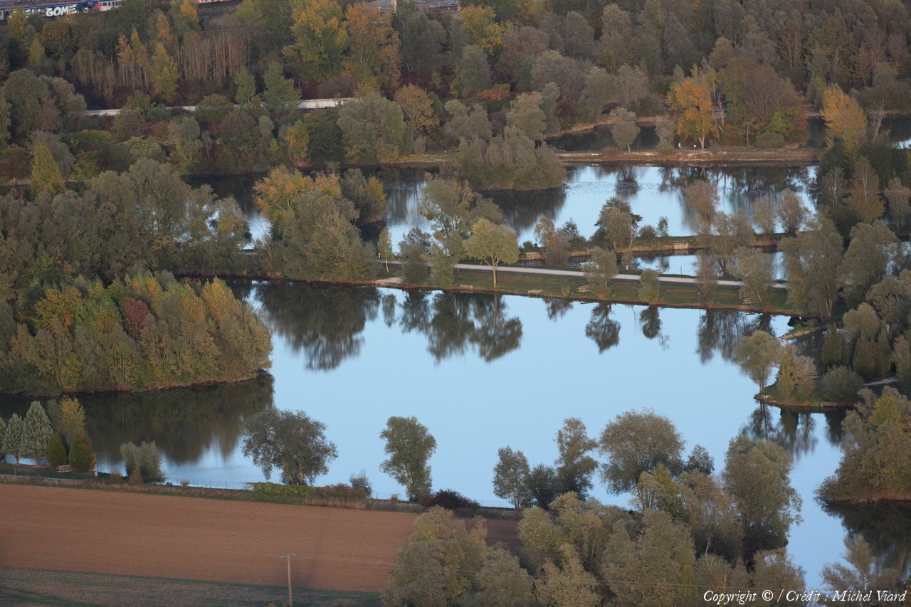
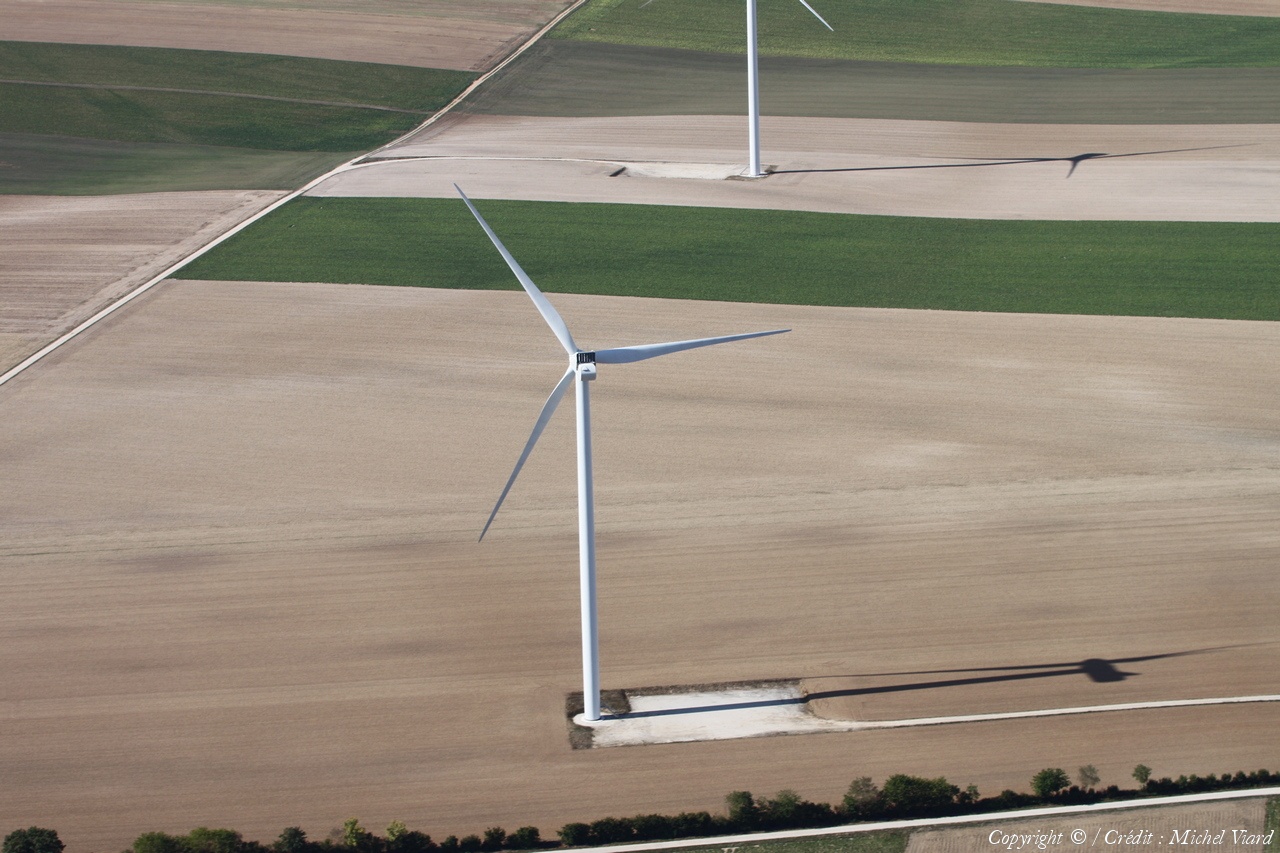
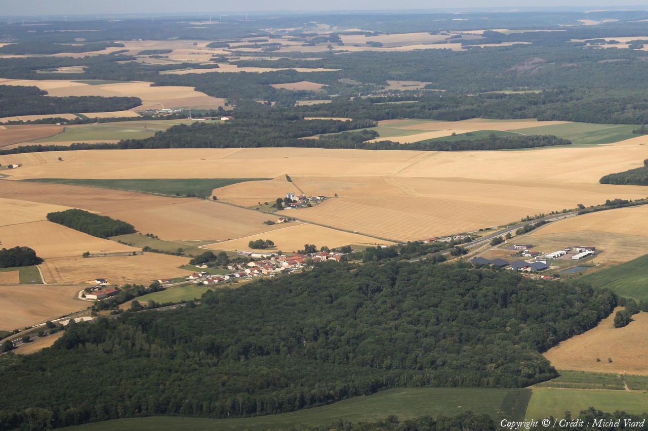
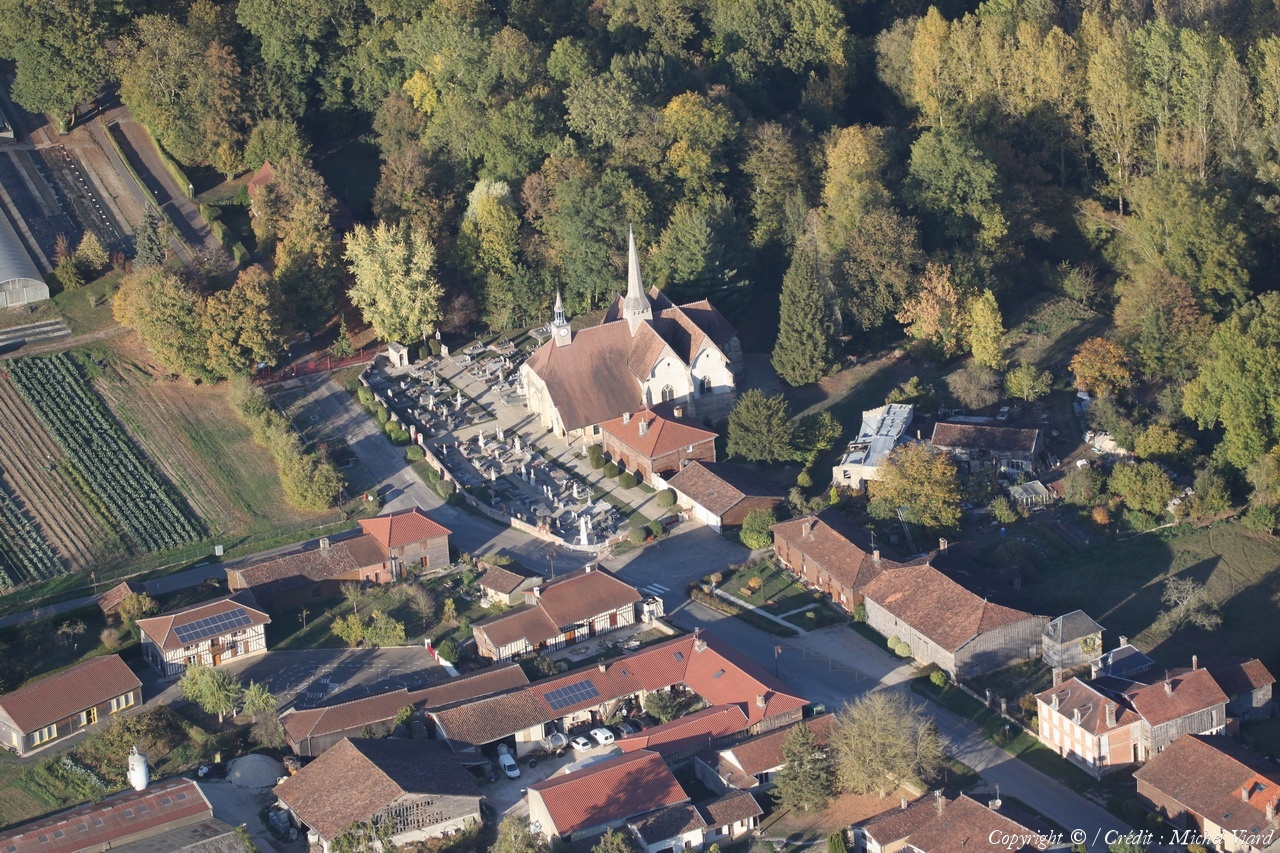
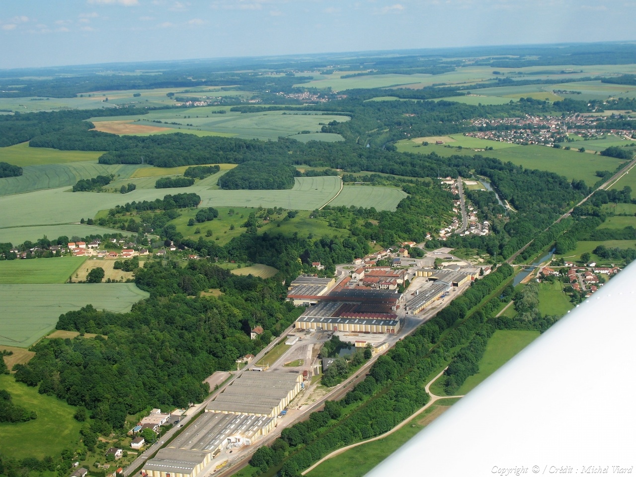
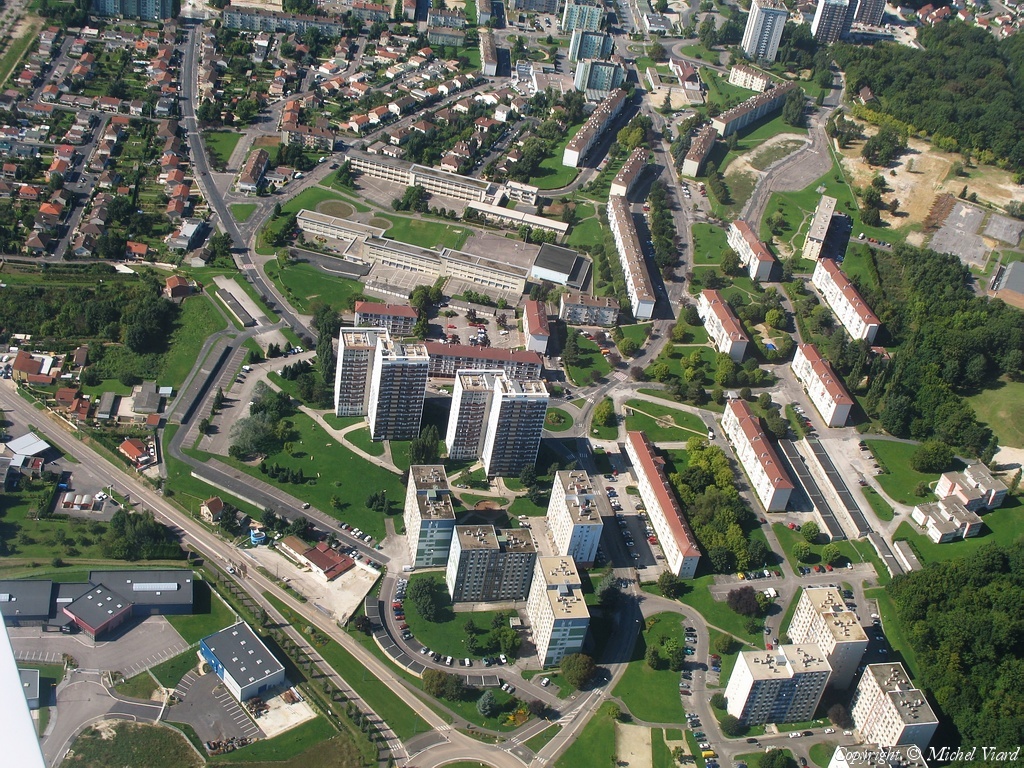
Pays :
France
Département :
Haute-Marne (52)
Lieu :
Saint-Dizier
Coord. GPS :
48 38 51 N 04 55 01 E
Photographe :
Michel Viard
Prise le :
13/10/2018
Vue 131 fois (
1.27 fois/jour
)
Affiner la recherche
-
Situer sur la carte
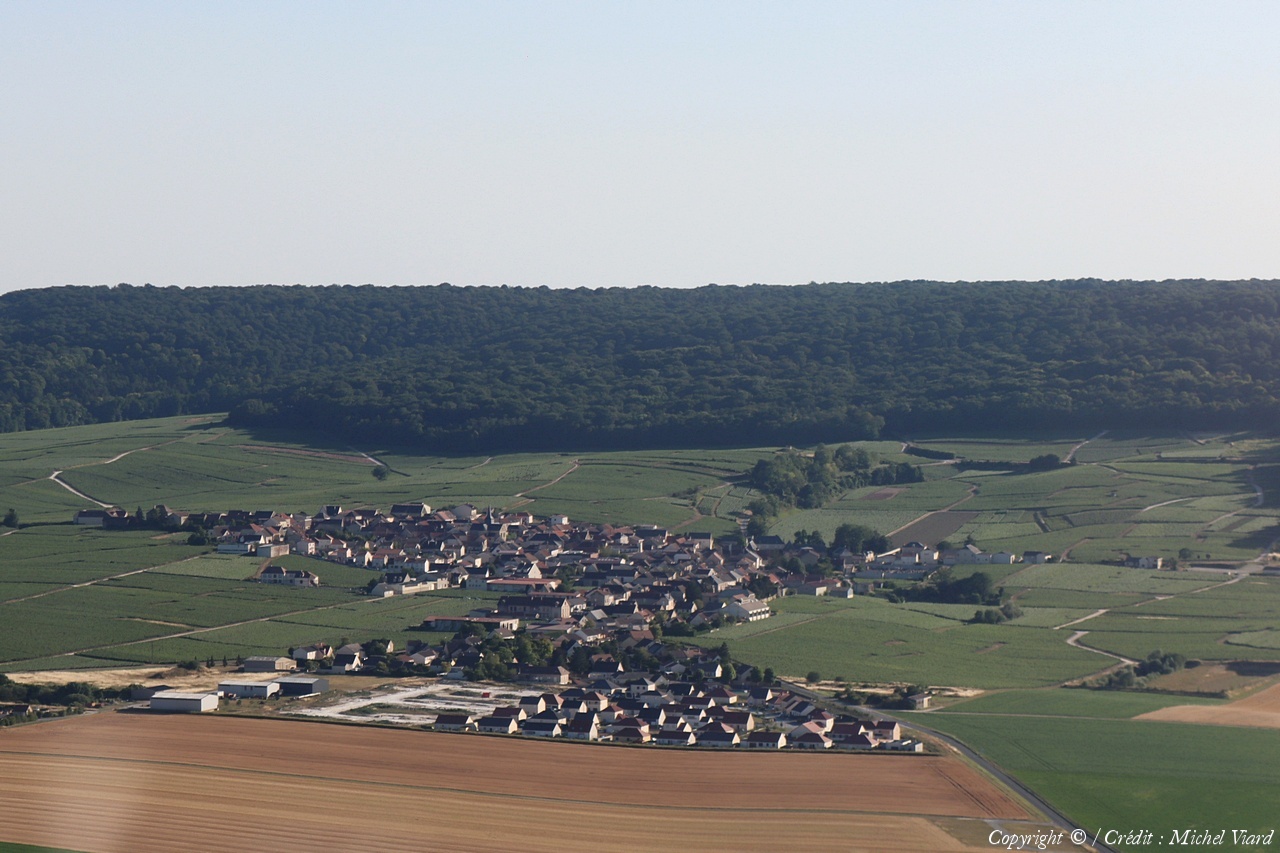
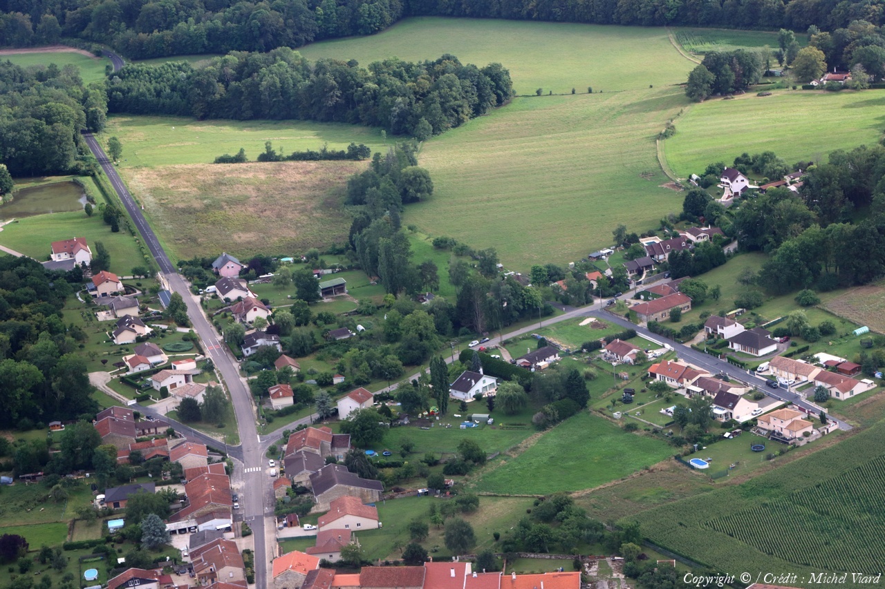
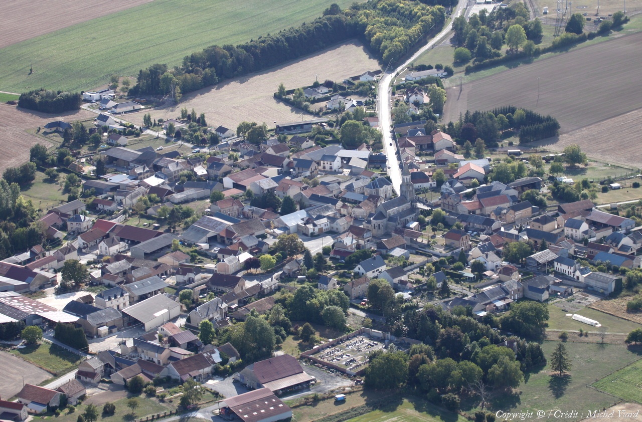
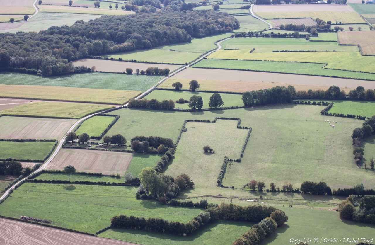
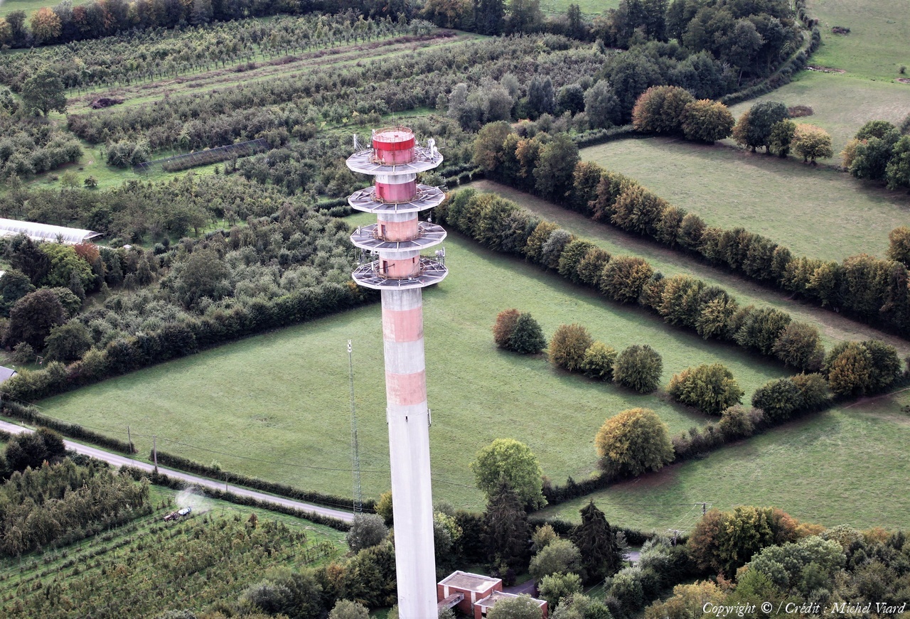
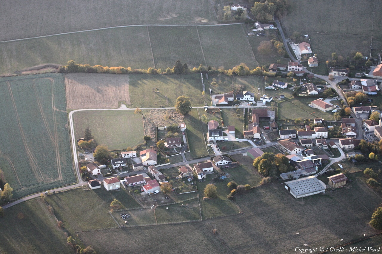
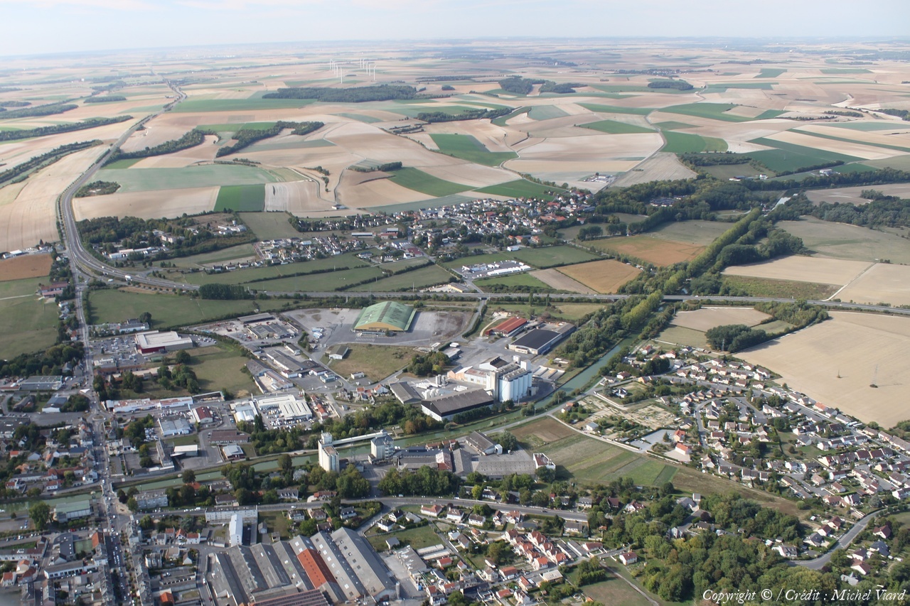
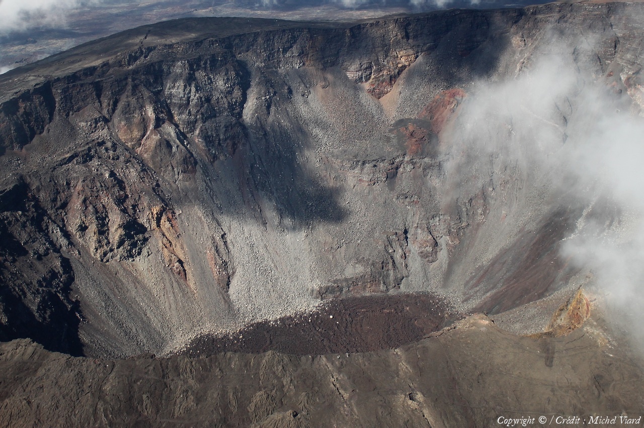
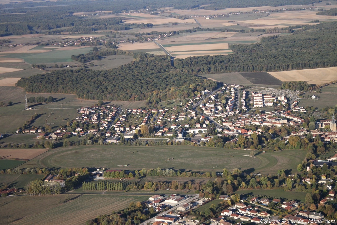
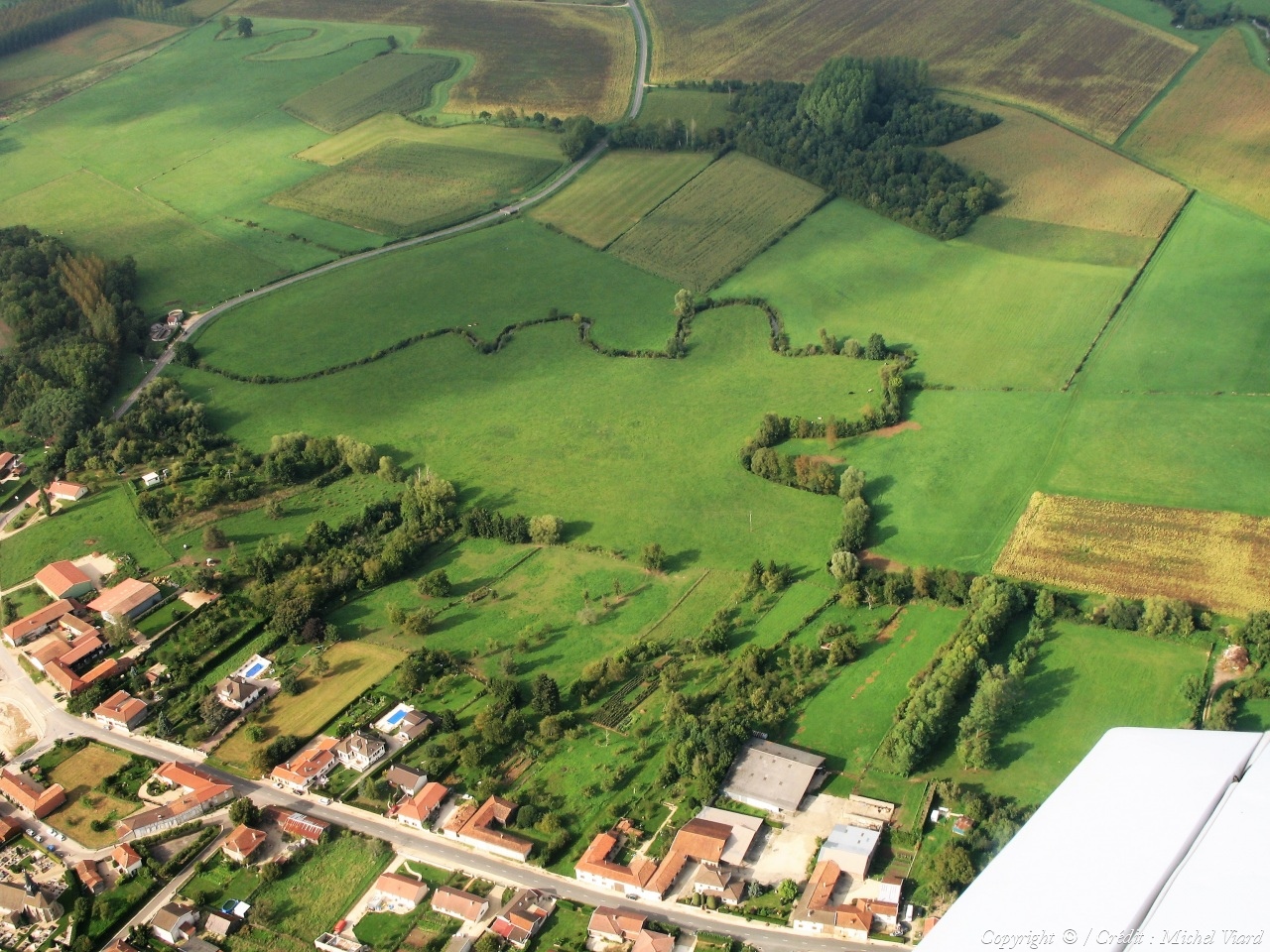
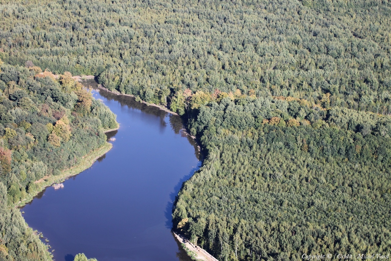
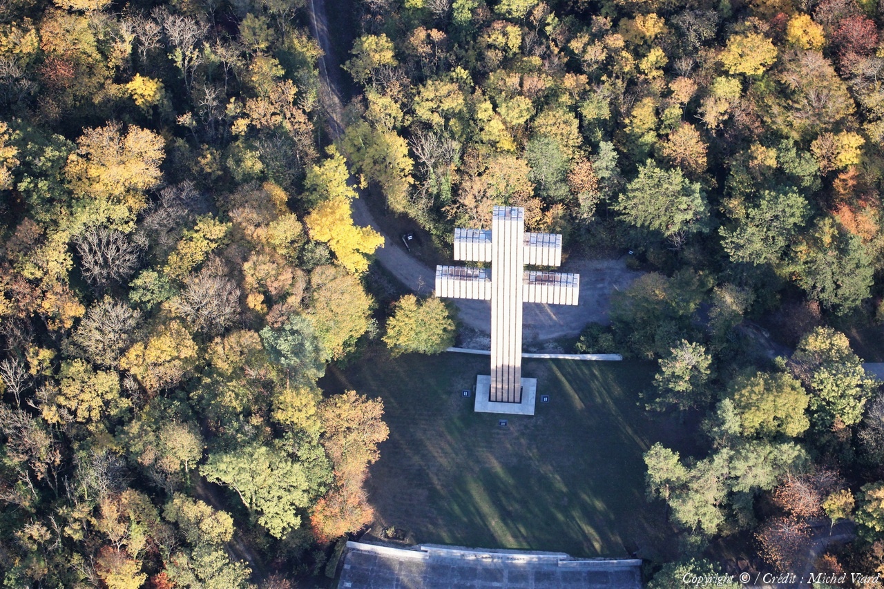
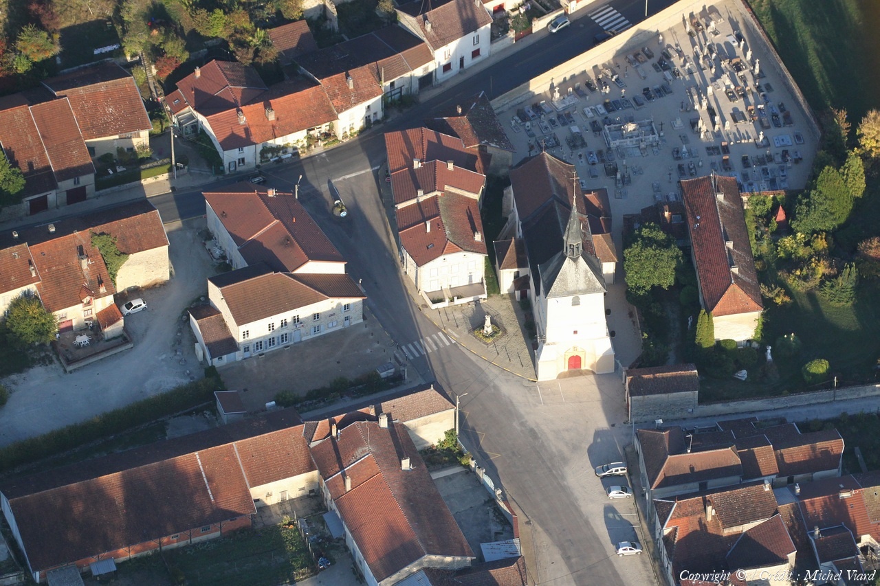
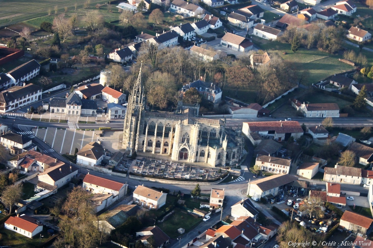
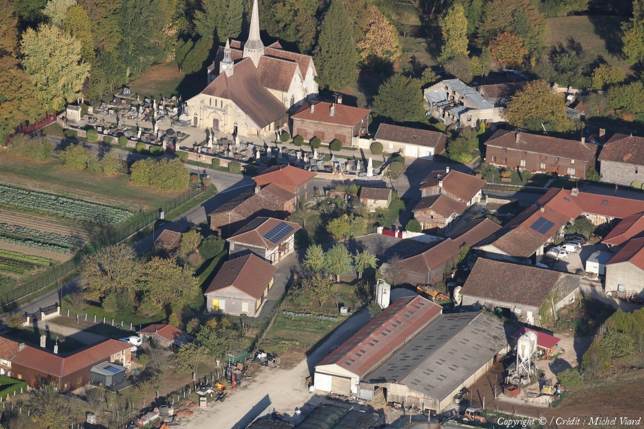
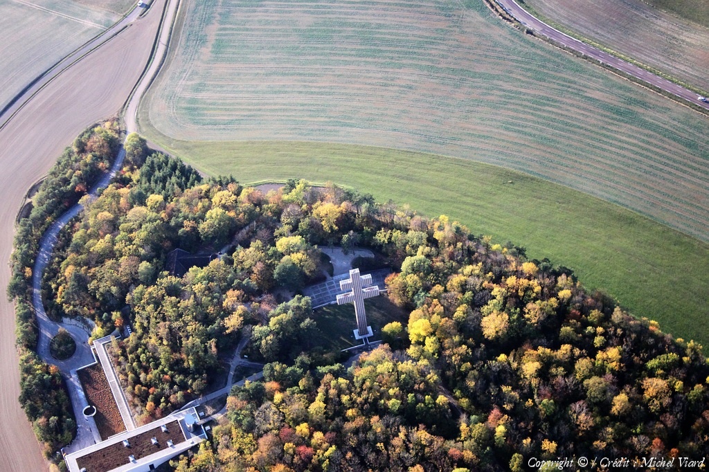
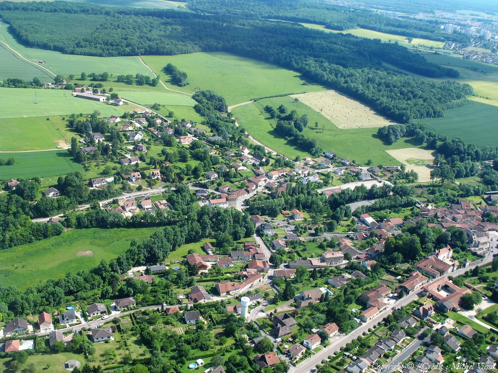
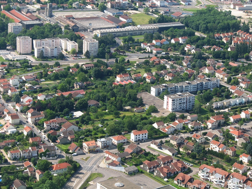
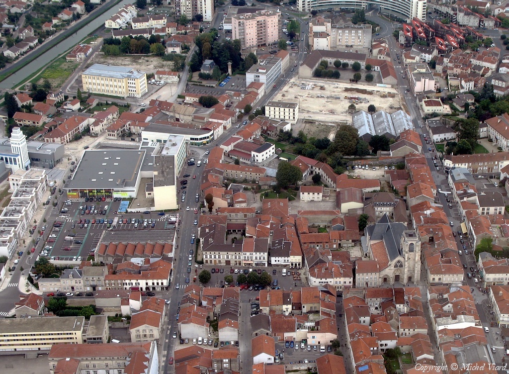
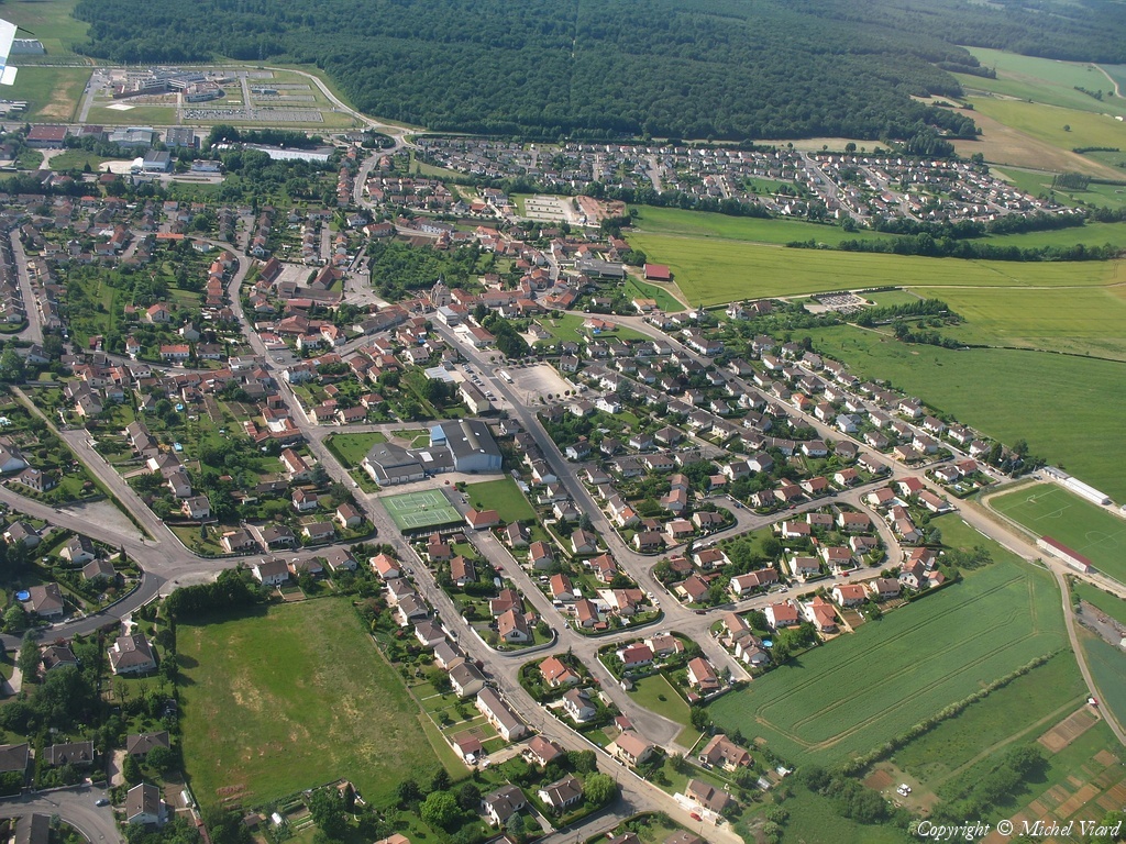
Pays :
France
Département :
Haute-Marne (52)
Lieu :
Saint-Dizier
Coord. GPS :
48 38 55 N 04 54 48 E
Photographe :
Michel Viard
Prise le :
13/10/2018
Vue 132 fois (
1.28 fois/jour
)
Affiner la recherche
-
Situer sur la carte
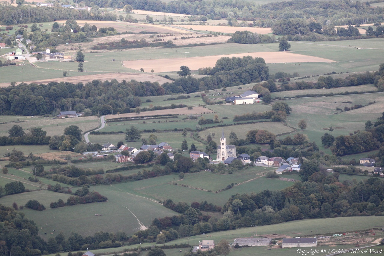
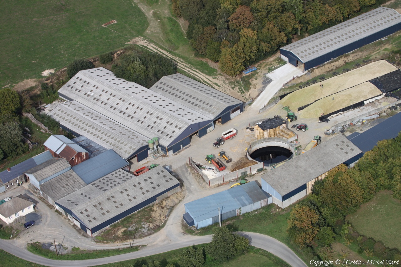
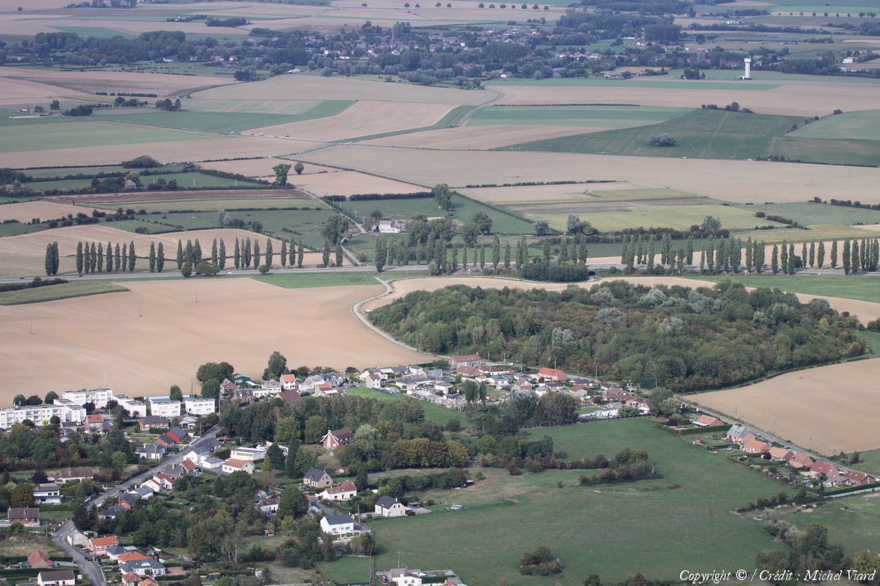
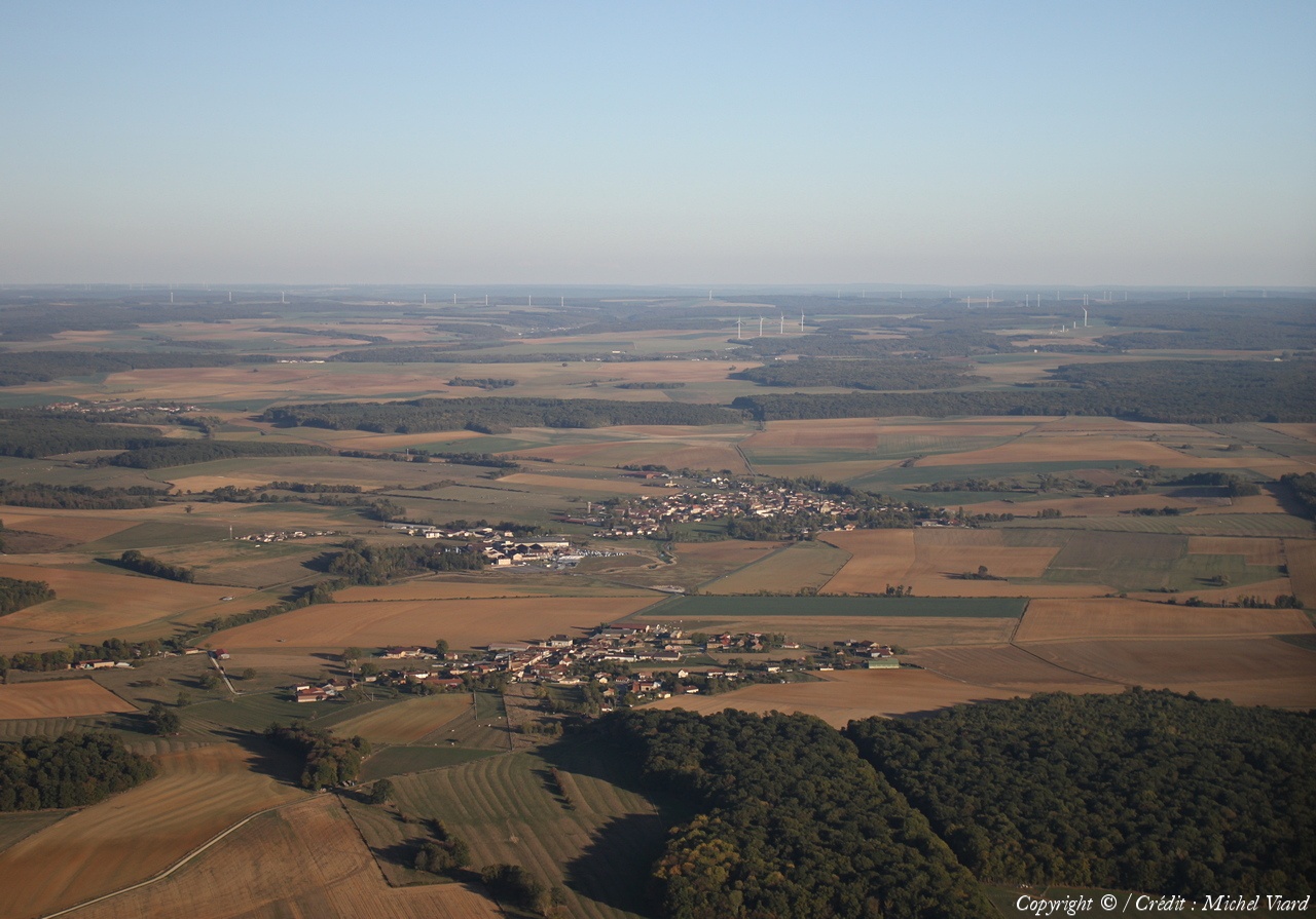
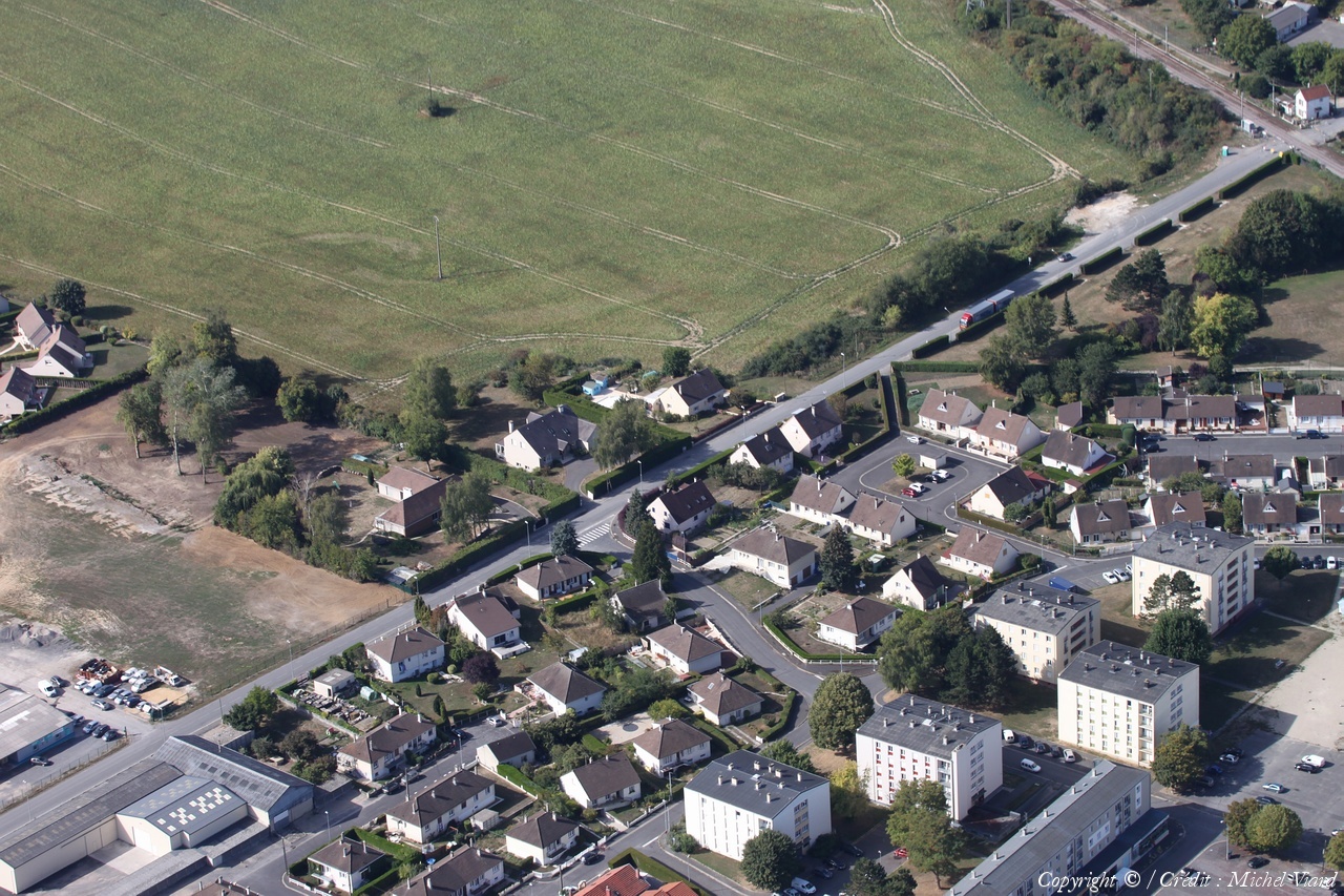
Pays :
France
Département :
Haute-Marne (52)
Lieu :
Saint-Dizier
Coord. GPS :
48 38 55 N 04 54 48 E
Photographe :
Michel Viard
Prise le :
13/10/2018
Vue 146 fois (
1.42 fois/jour
)
Affiner la recherche
-
Situer sur la carte
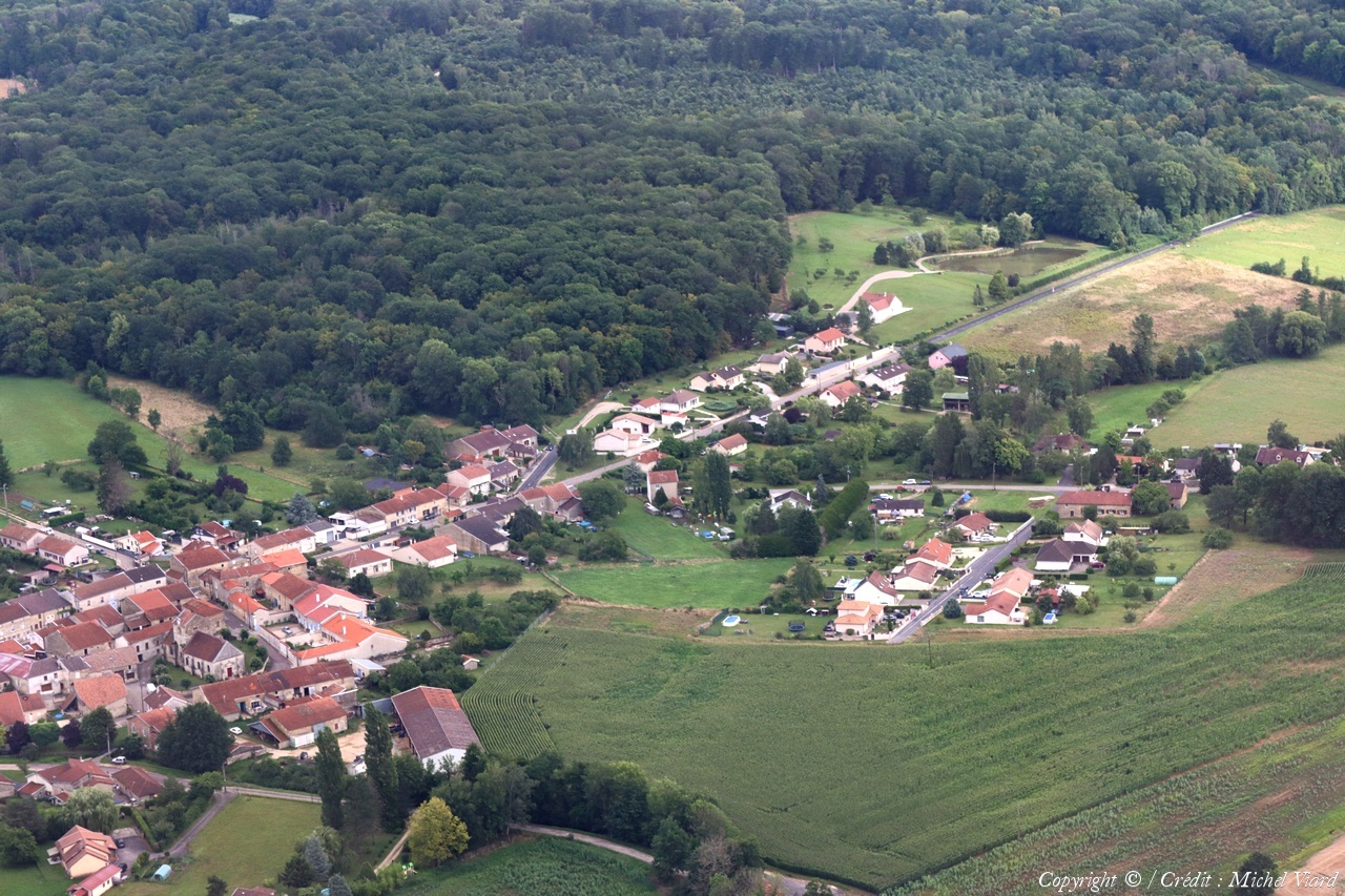
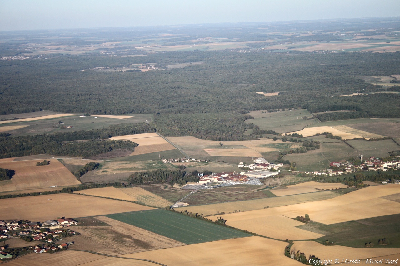
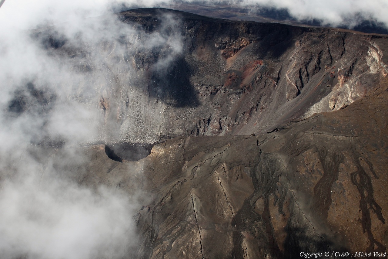
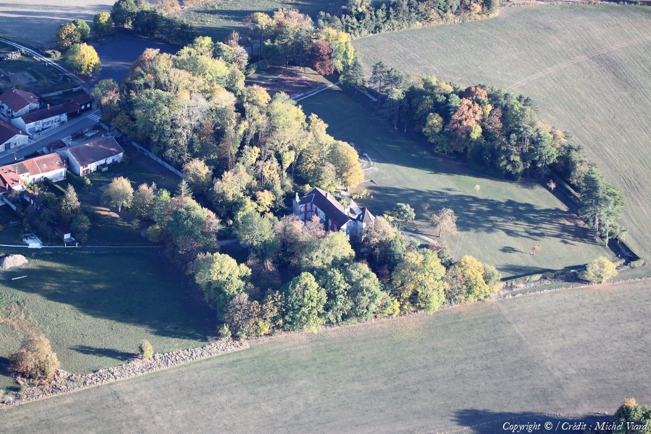
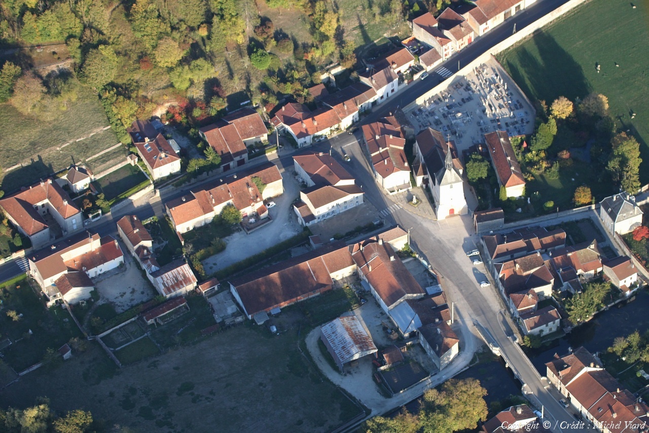
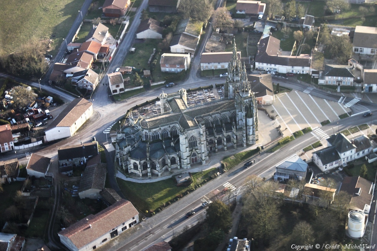
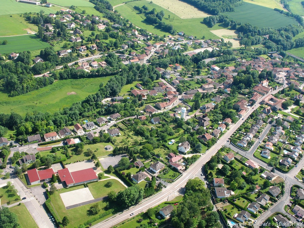
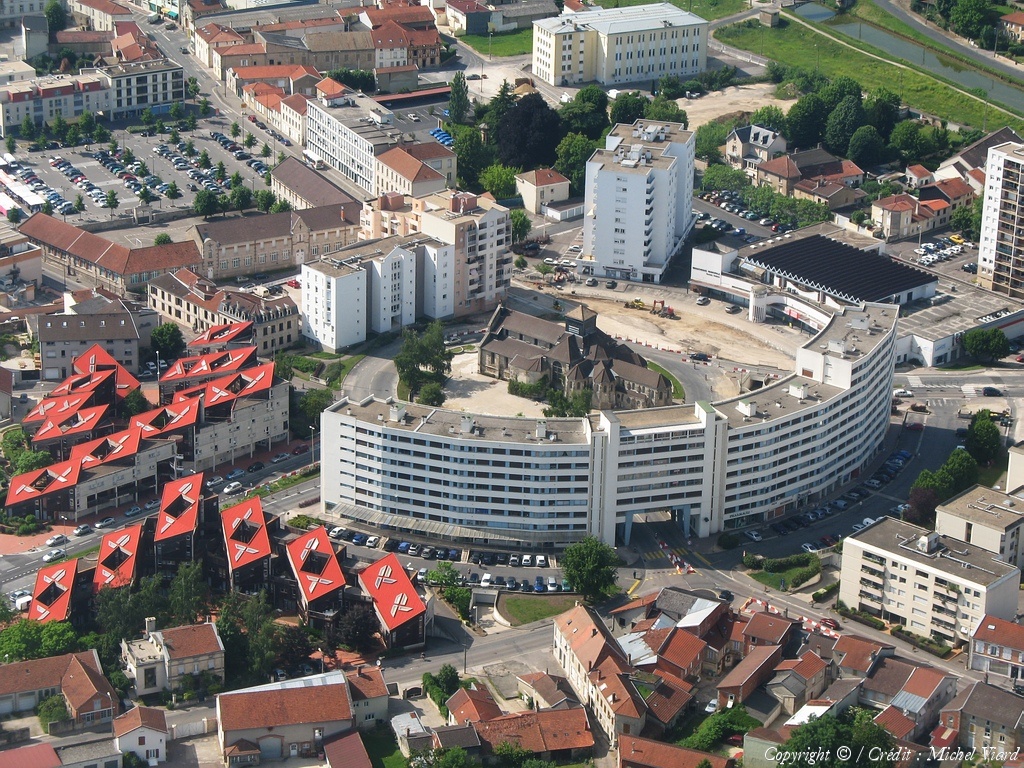
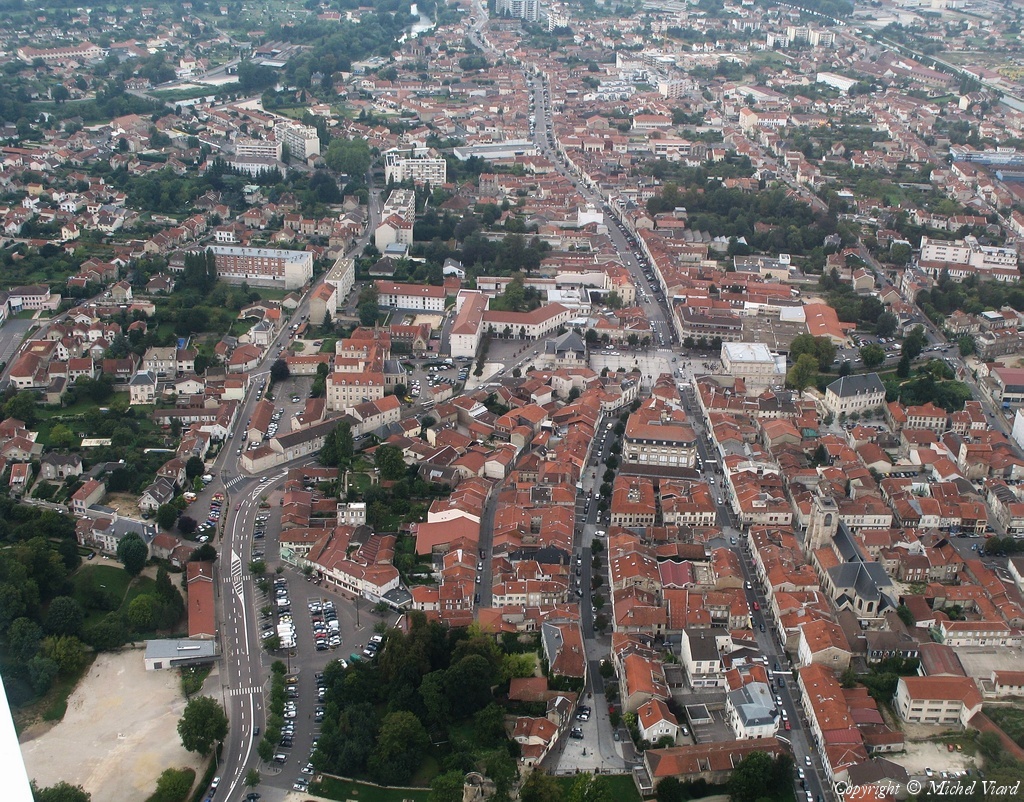
Pays :
France
Département :
Haute-Marne (52)
Lieu :
Saint-Dizier
Coord. GPS :
48 38 55 N 04 54 48 E
Photographe :
Michel Viard
Prise le :
13/10/2018
Vue 118 fois (
1.15 fois/jour
)
Affiner la recherche
-
Situer sur la carte
Pays :
France
Département :
Haute-Marne (52)
Lieu :
Saint-Dizier
Coord. GPS :
48 38 55 N 04 54 48 E
Photographe :
Michel Viard
Prise le :
13/10/2018
Vue 158 fois (
1.53 fois/jour
)
Affiner la recherche
-
Situer sur la carte
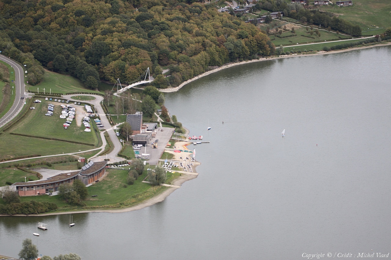
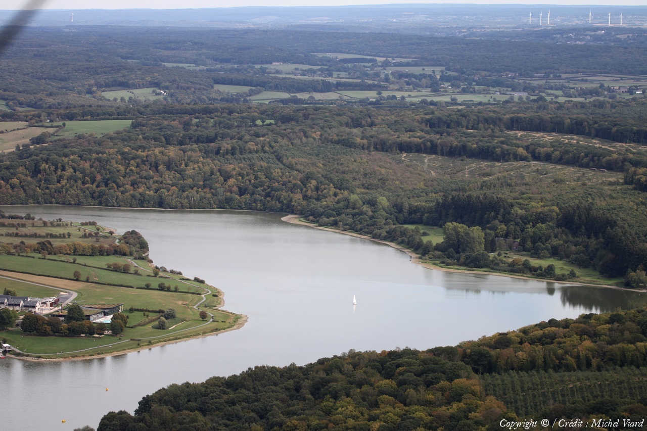
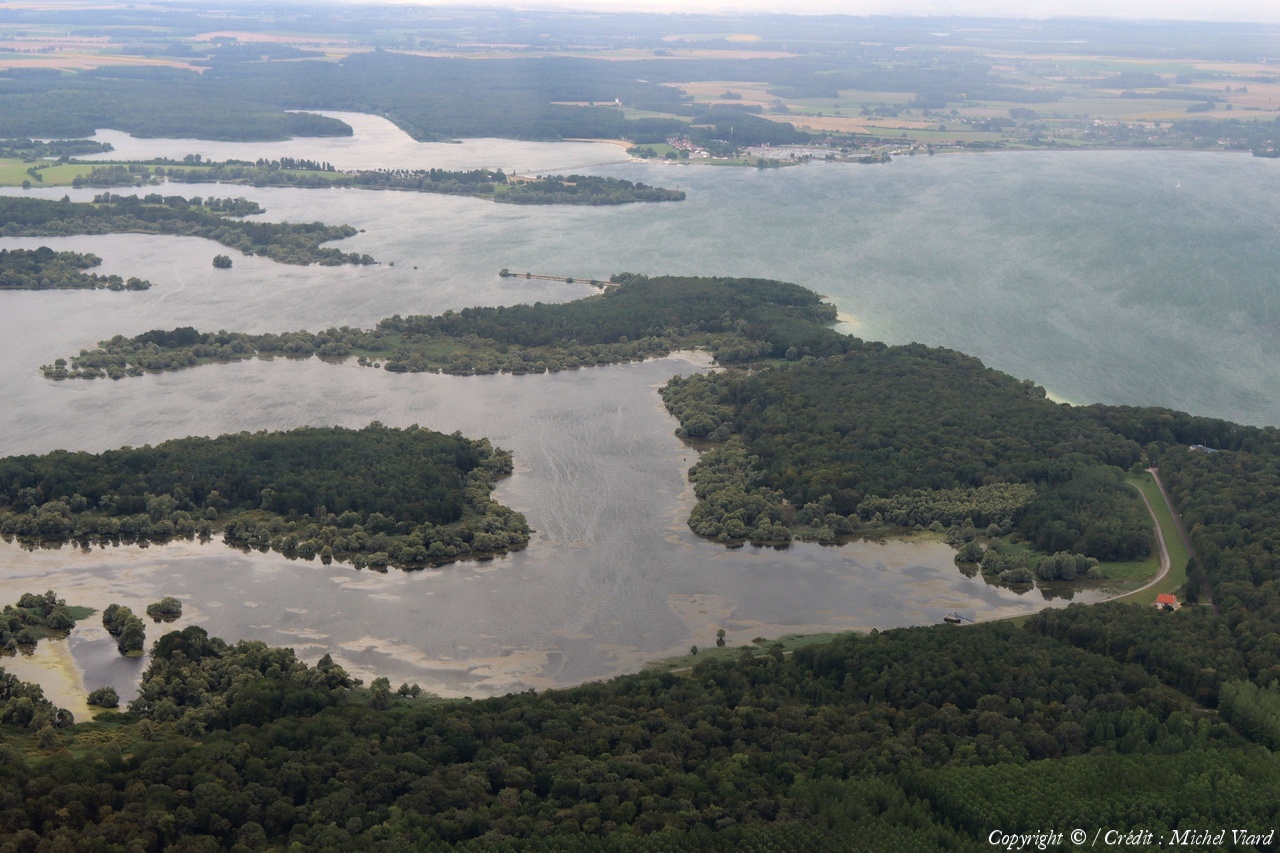
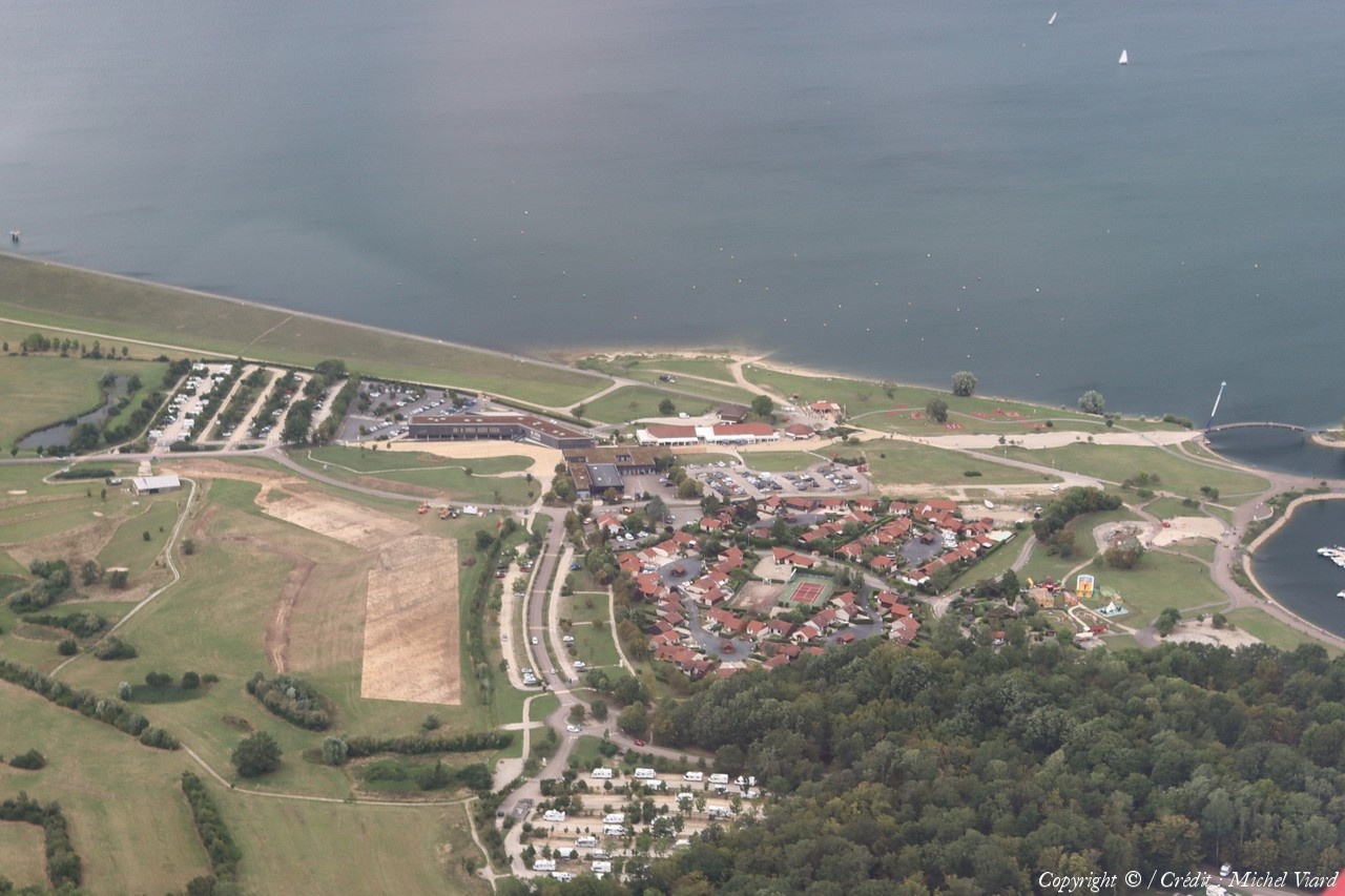
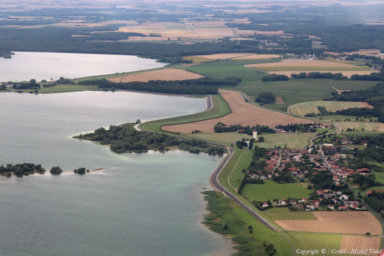
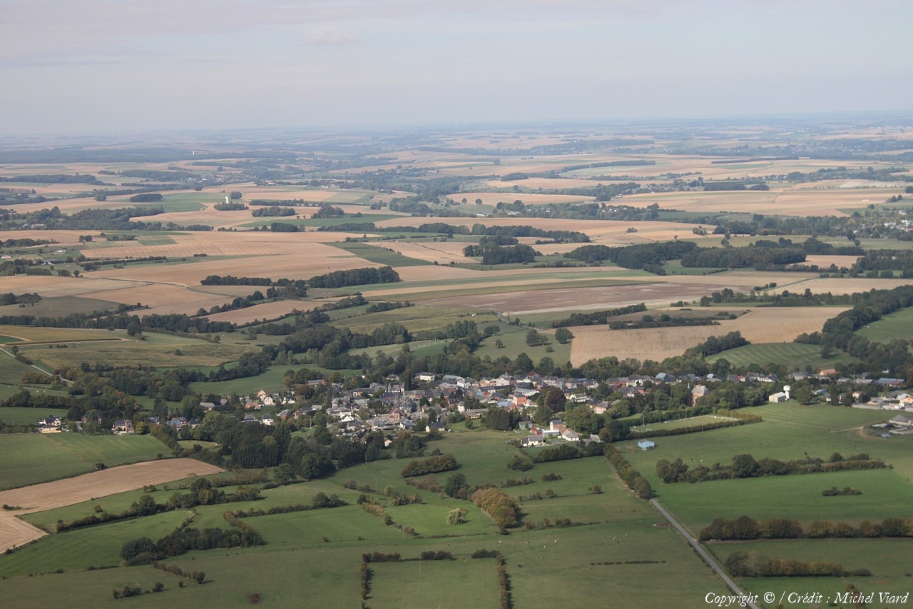
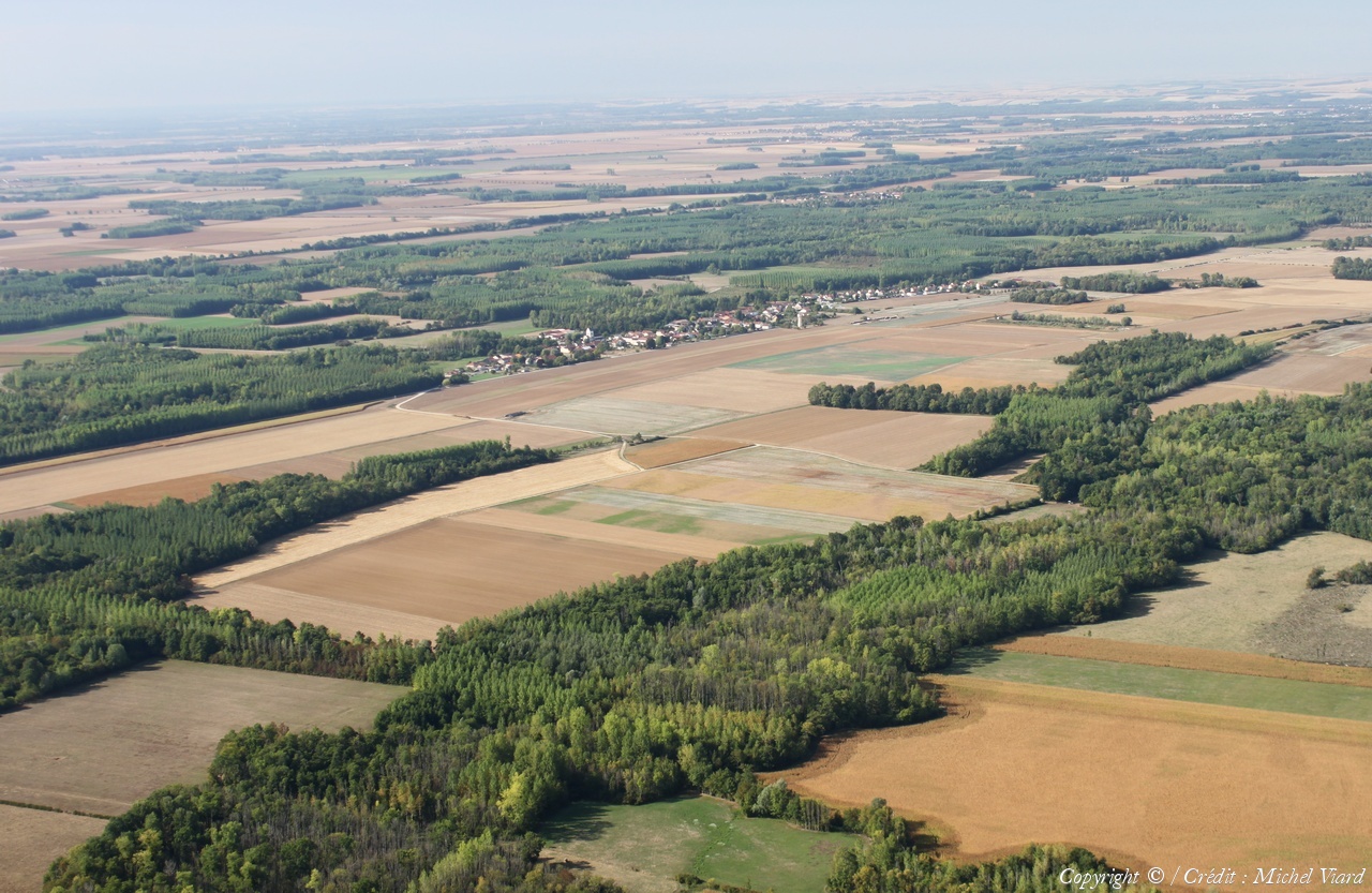
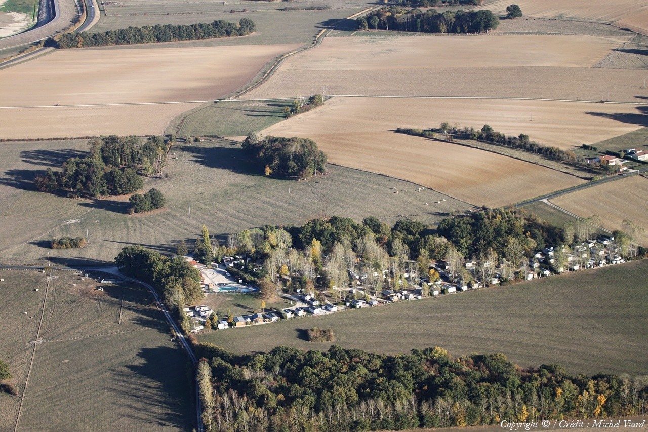
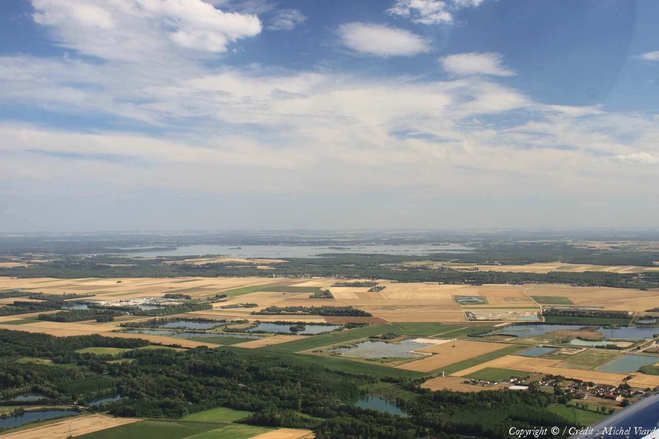
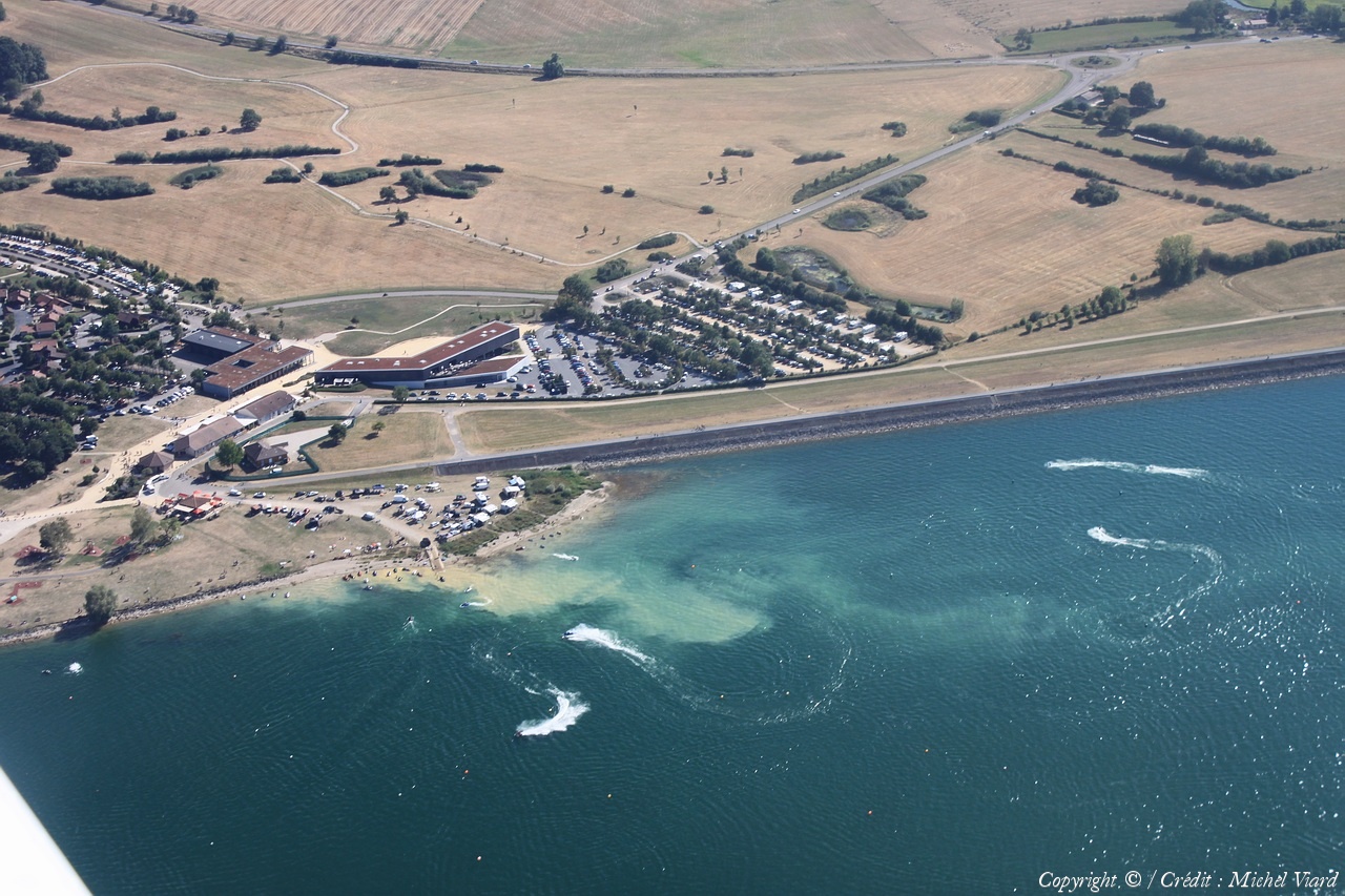
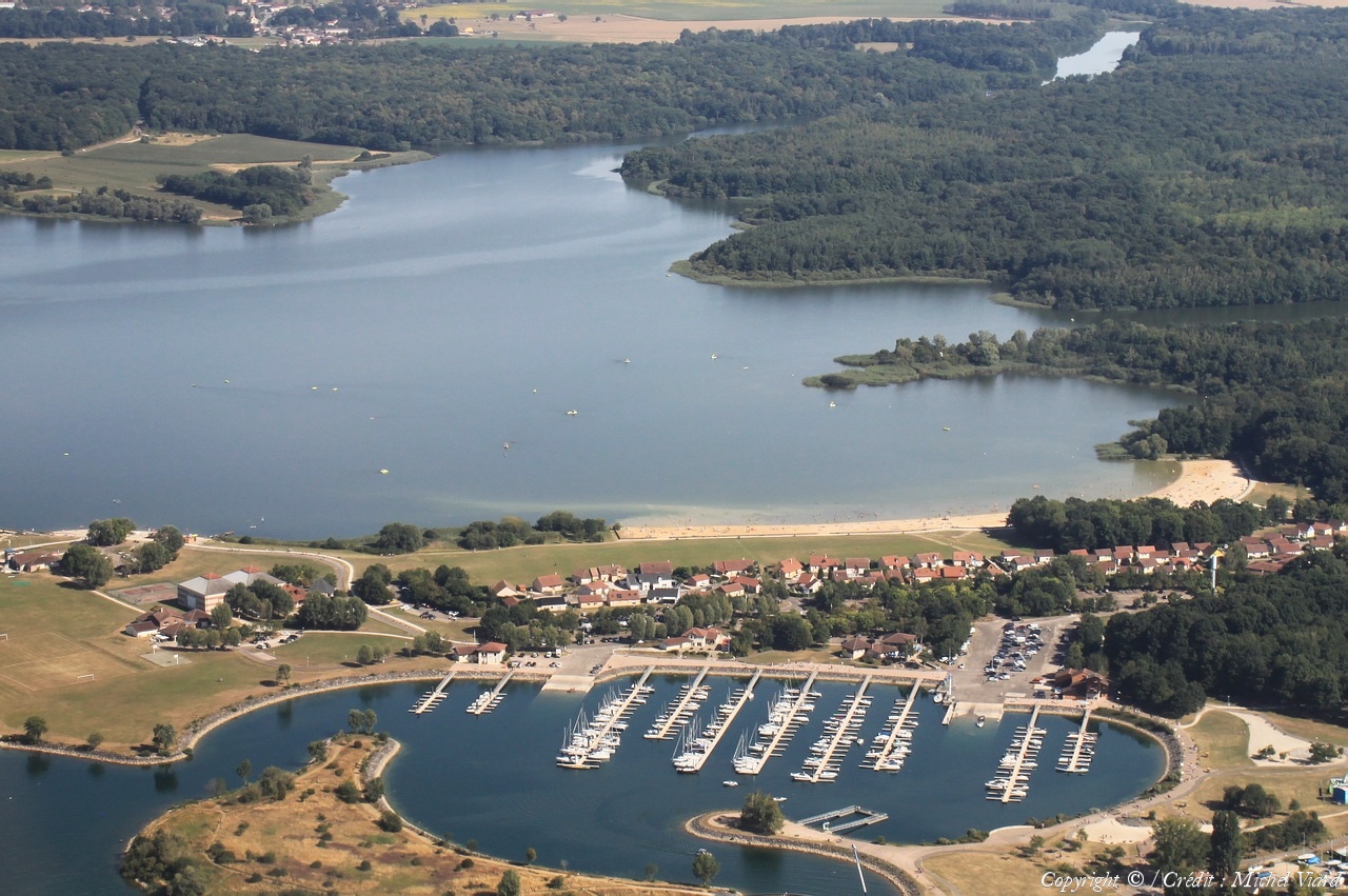
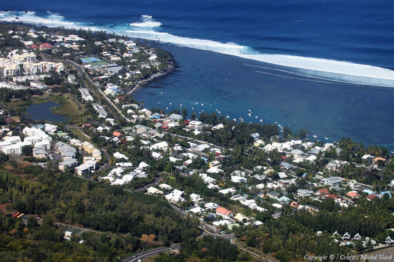
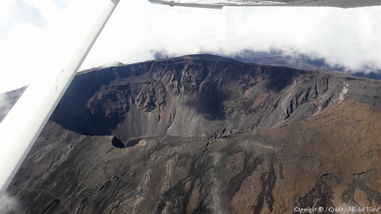
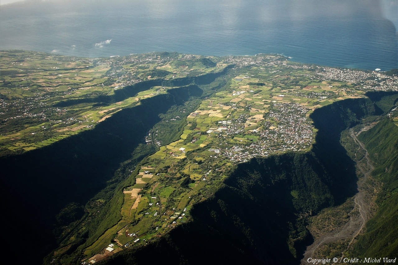
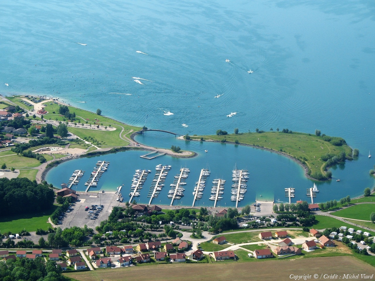
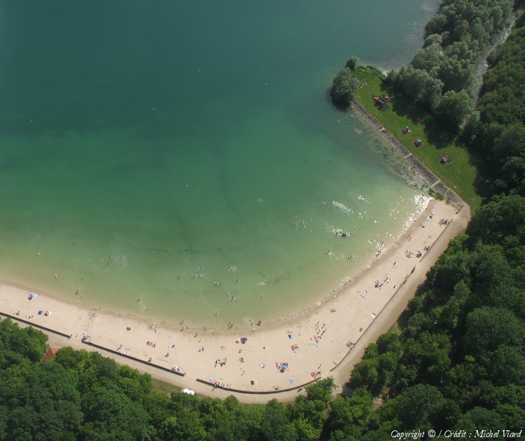
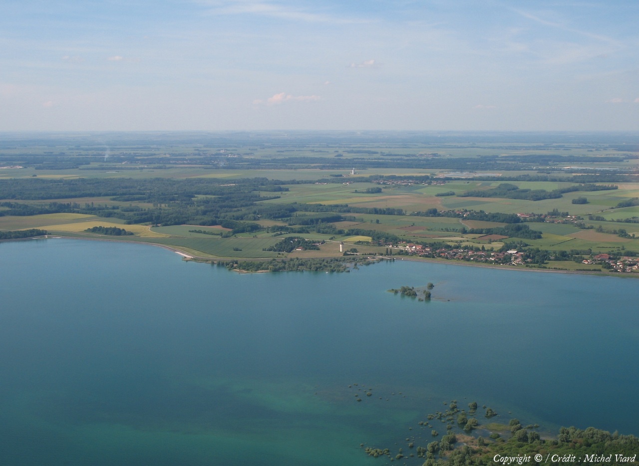
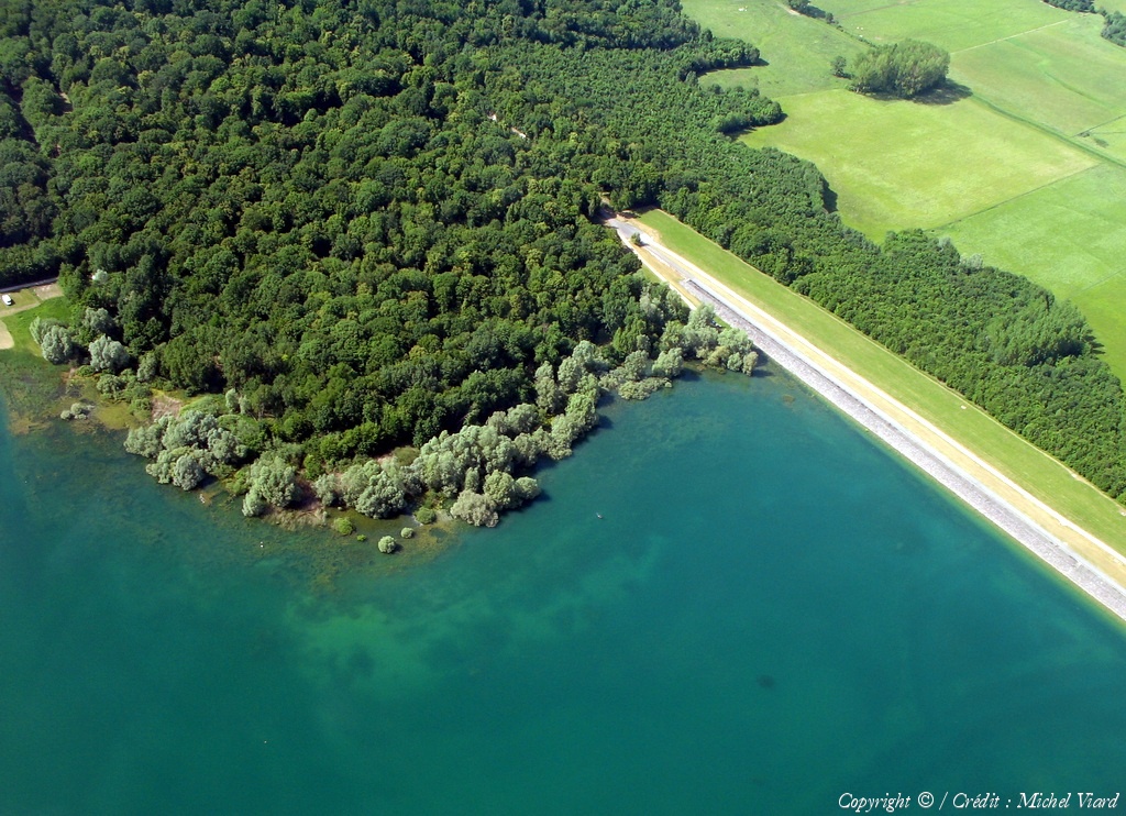
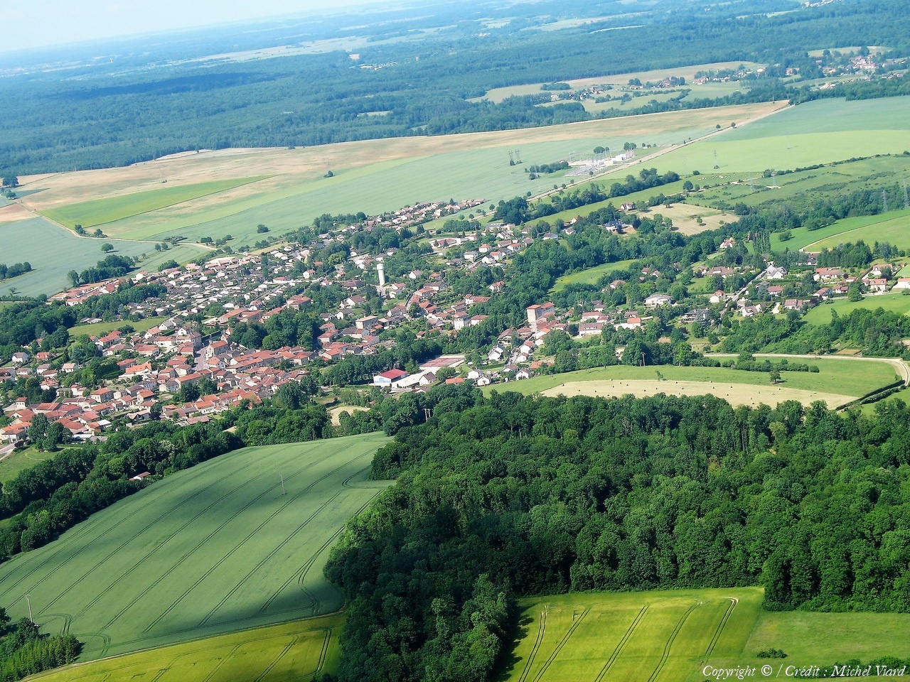
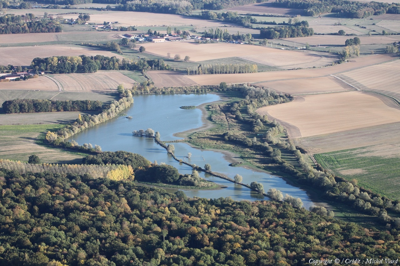
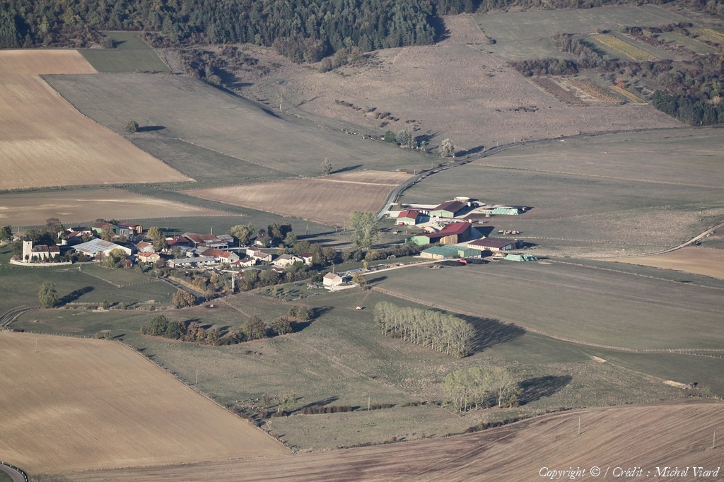
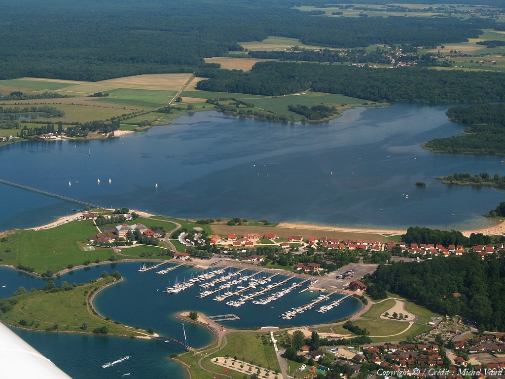
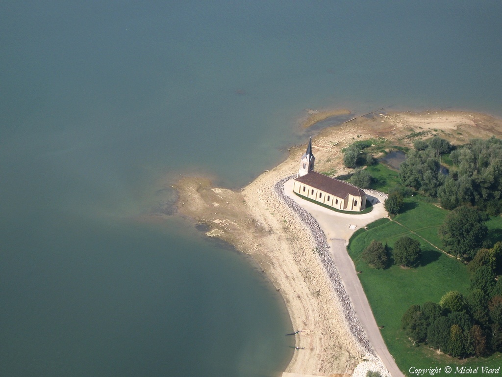
Pays :
France
Département :
Marne (51)
Lieu :
Lac du Der
Coord. GPS :
48 36 21 N 04 46 16 E
Photographe :
Michel Viard
Prise le :
29/07/2023
Vue 379 fois (
1.72 fois/jour
)
Affiner la recherche
-
Situer sur la carte
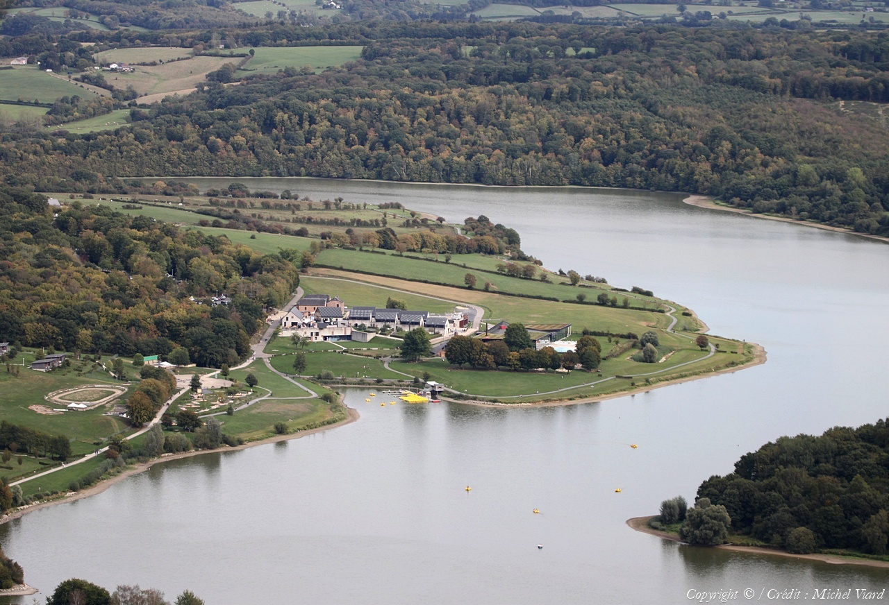
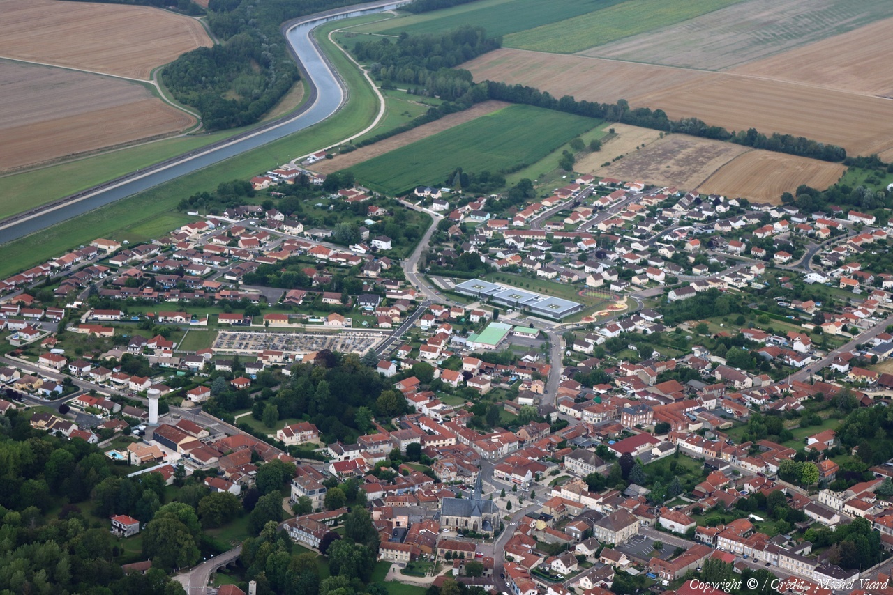
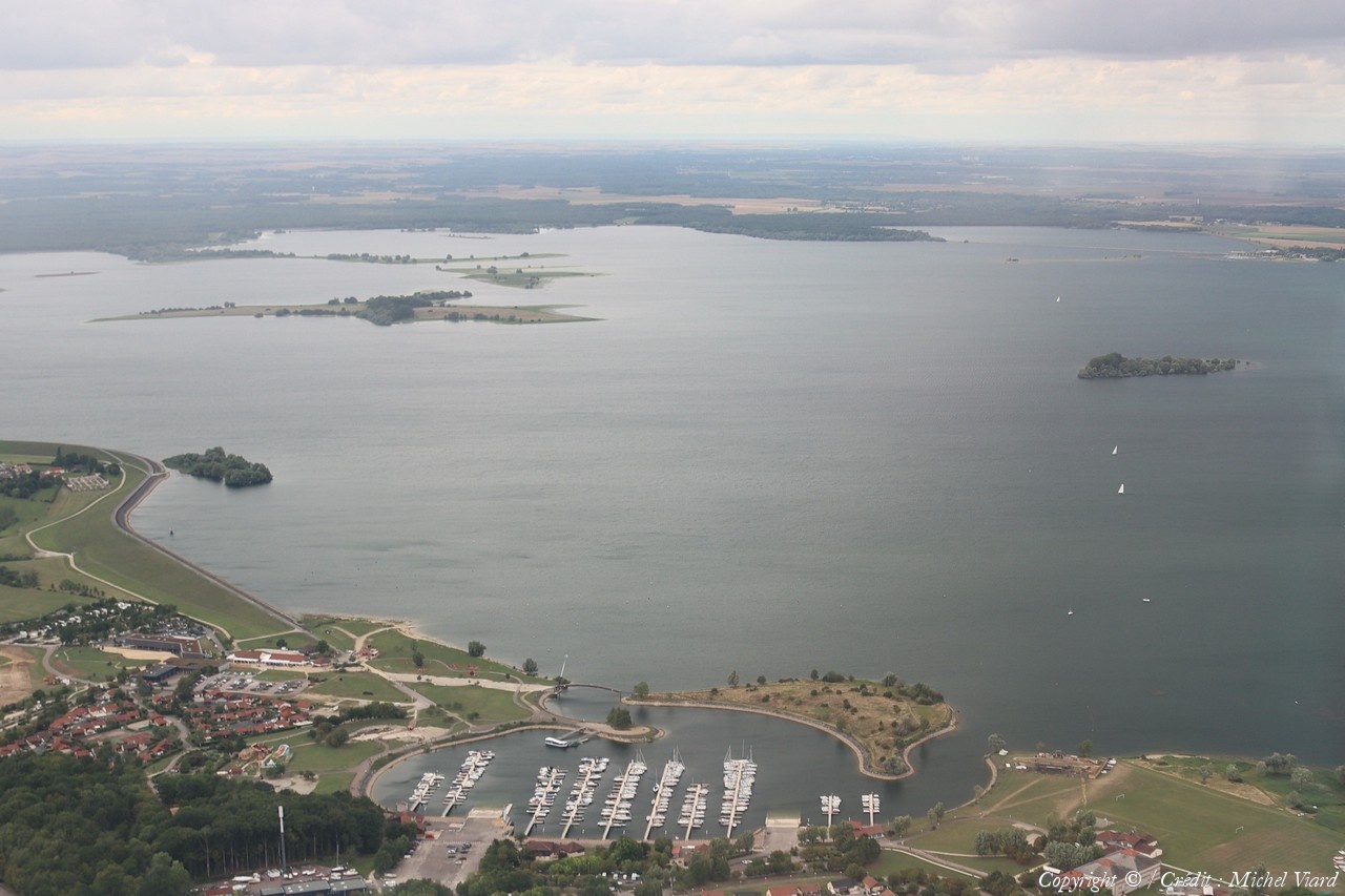
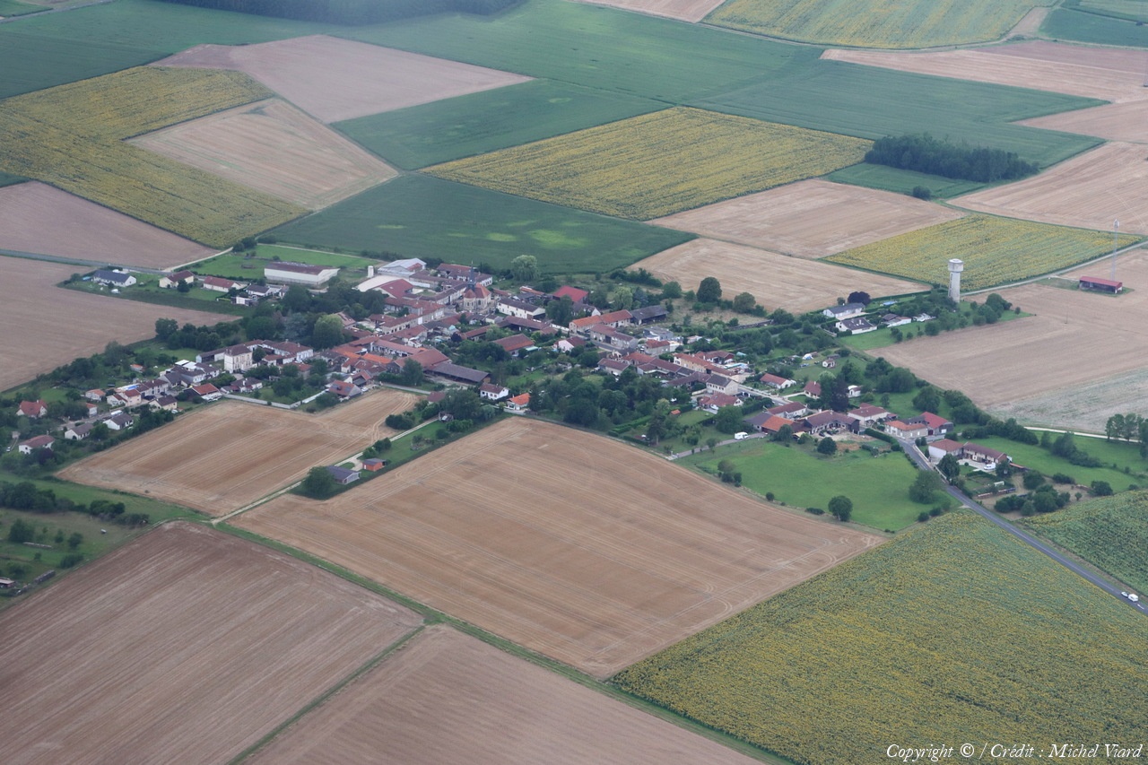
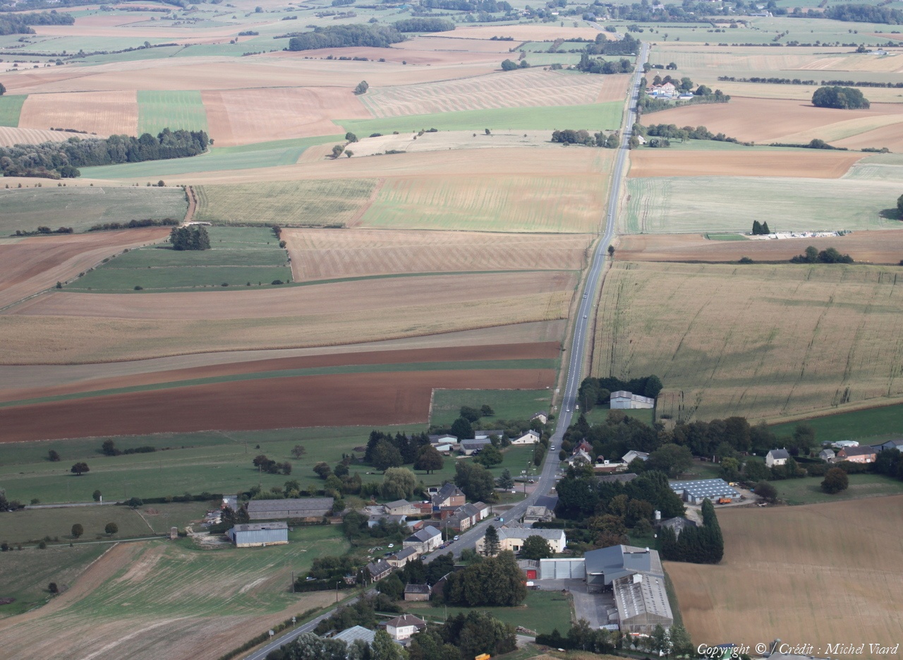
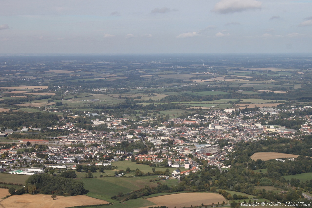
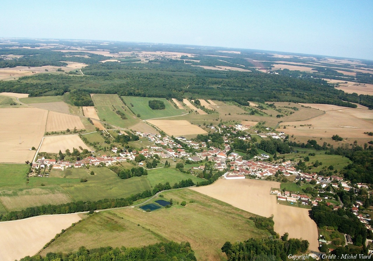
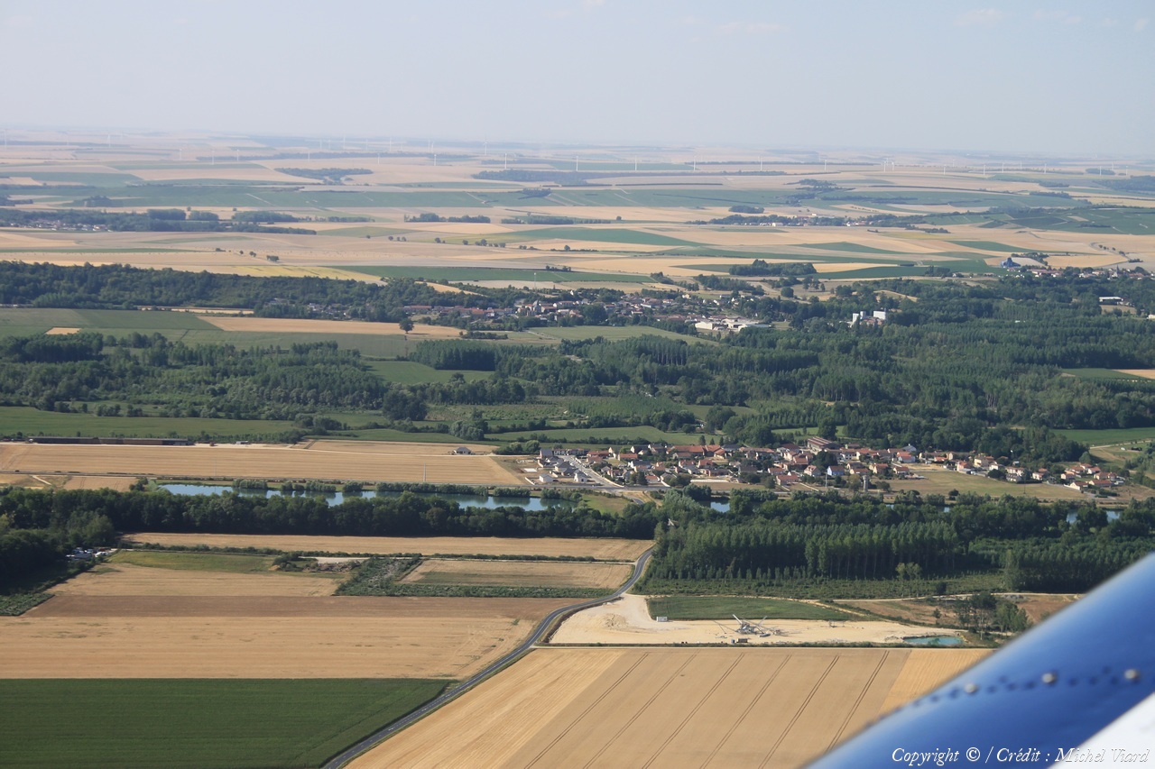
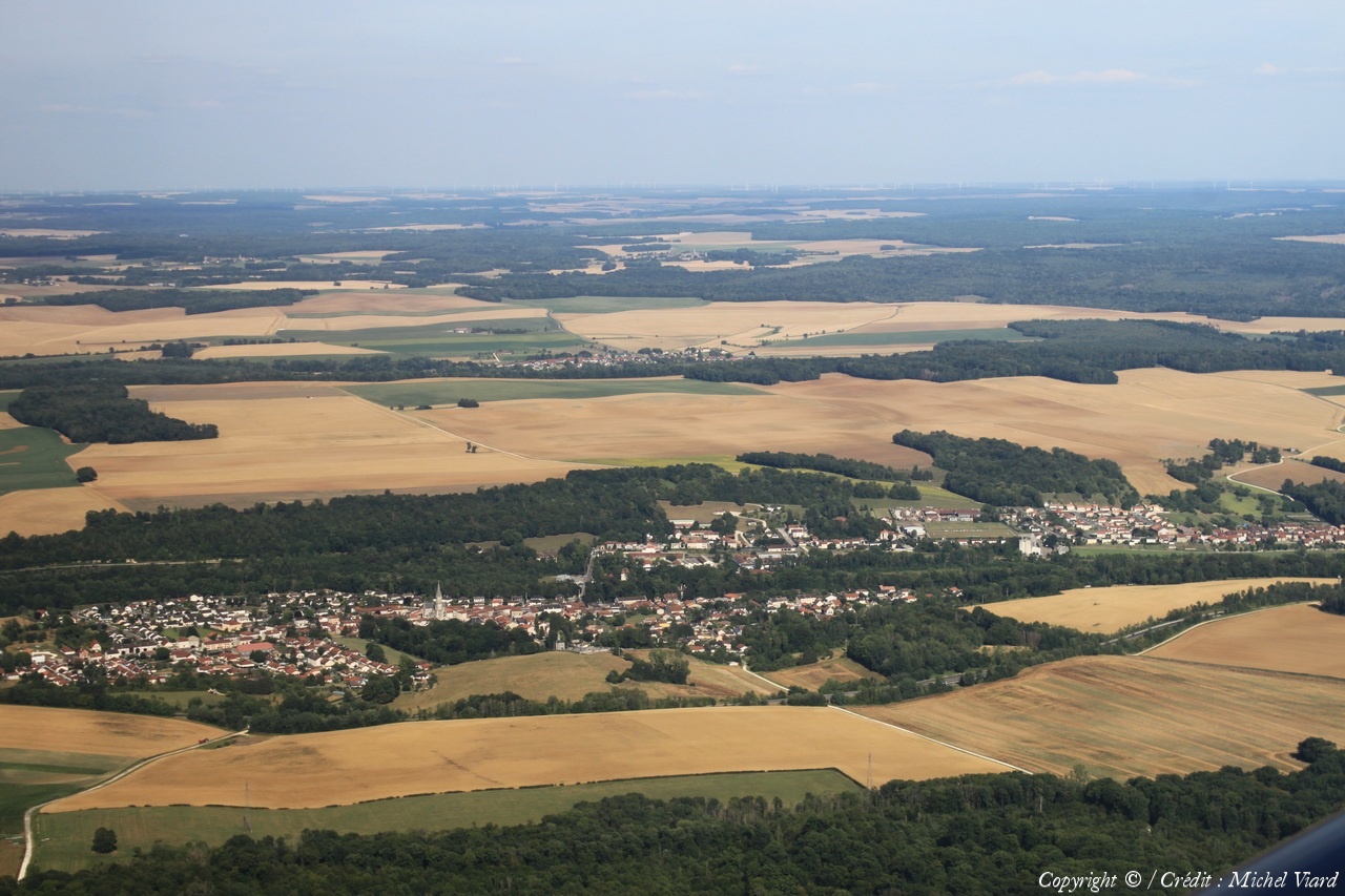
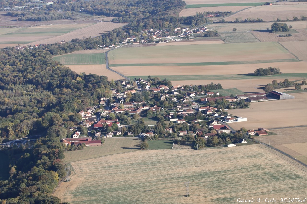
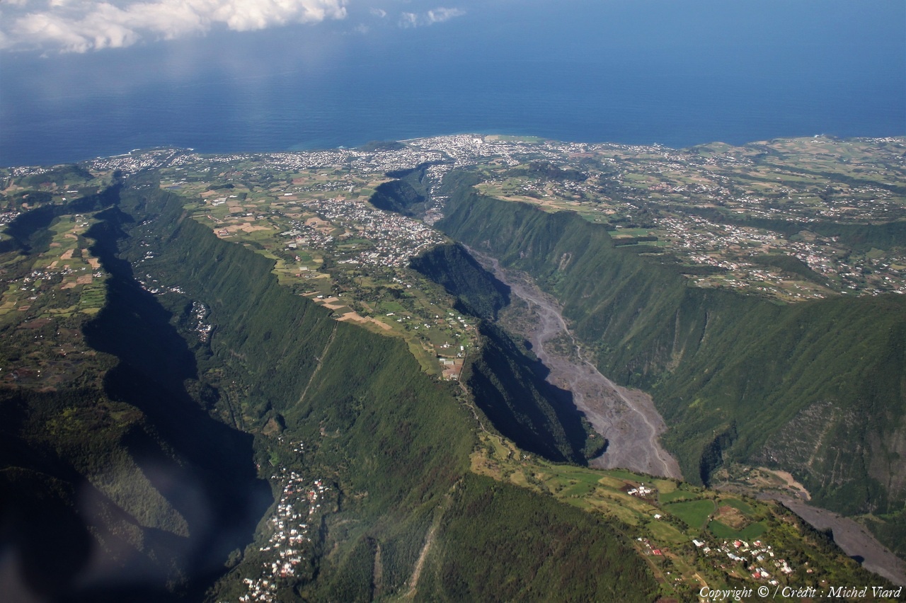
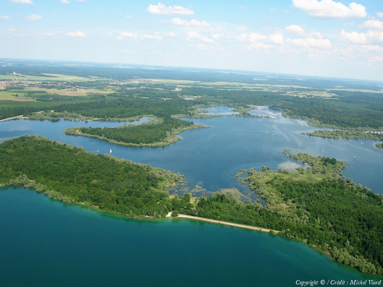
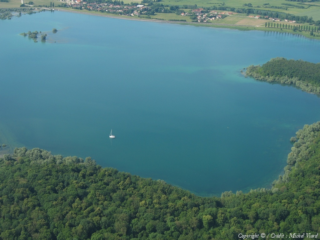
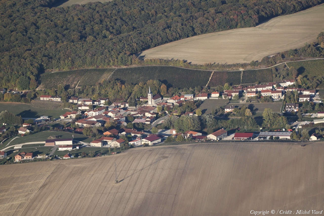
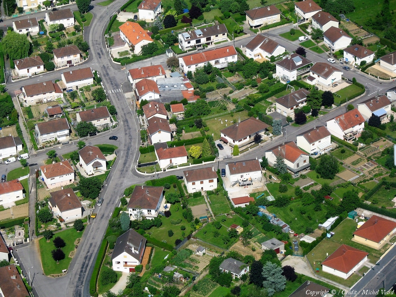
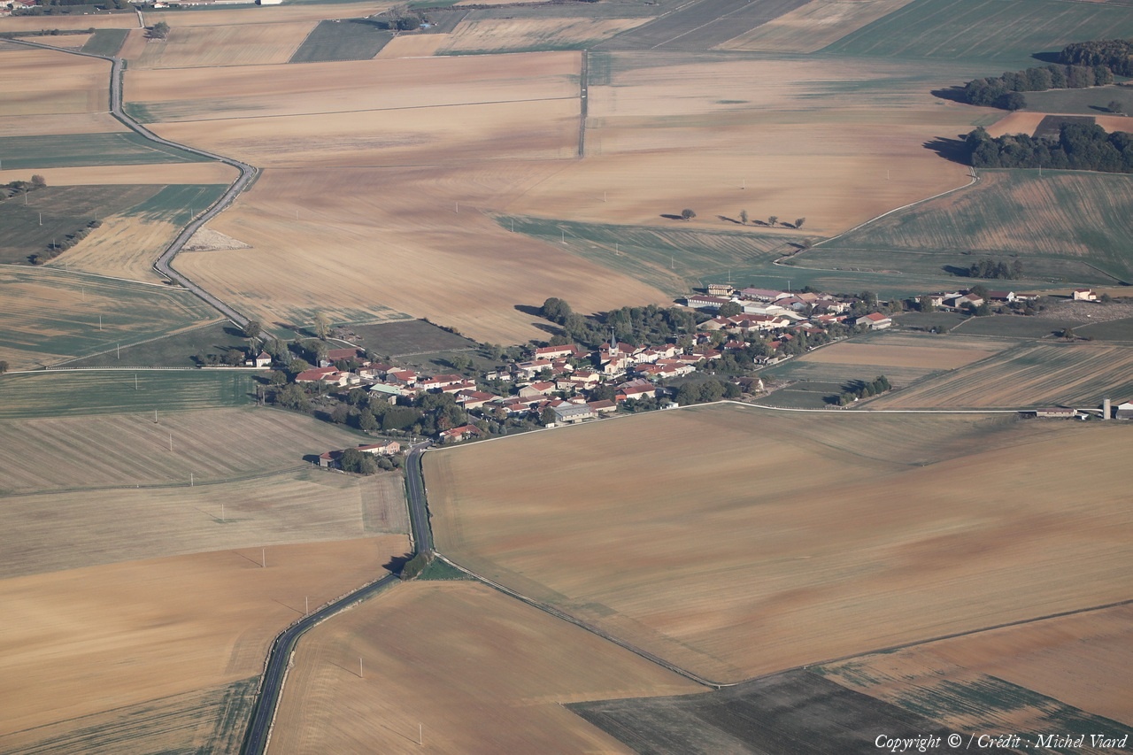
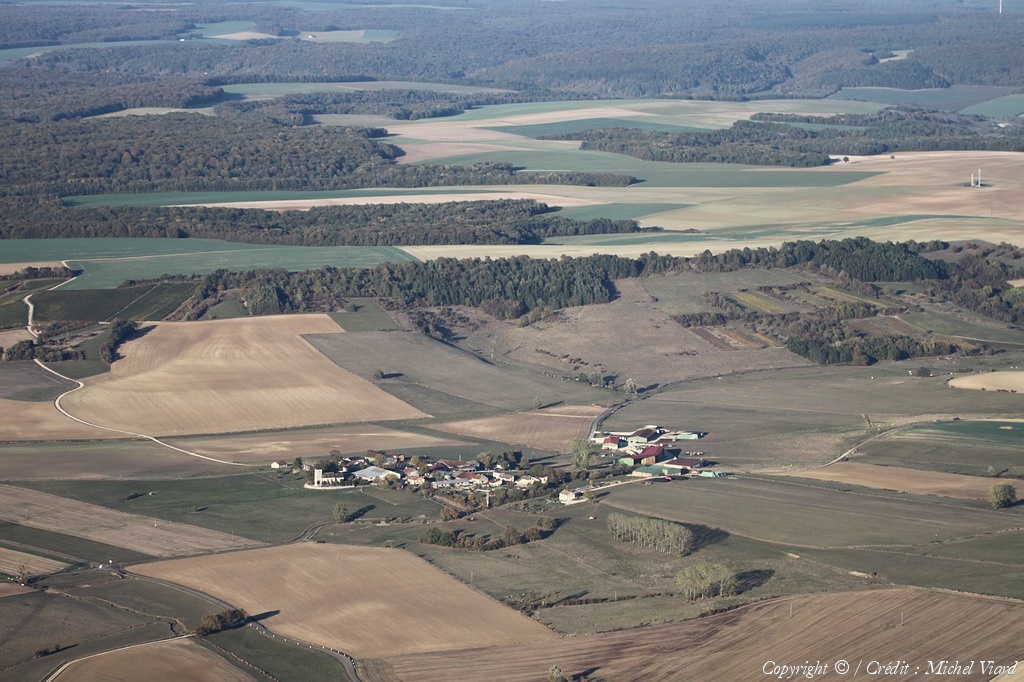
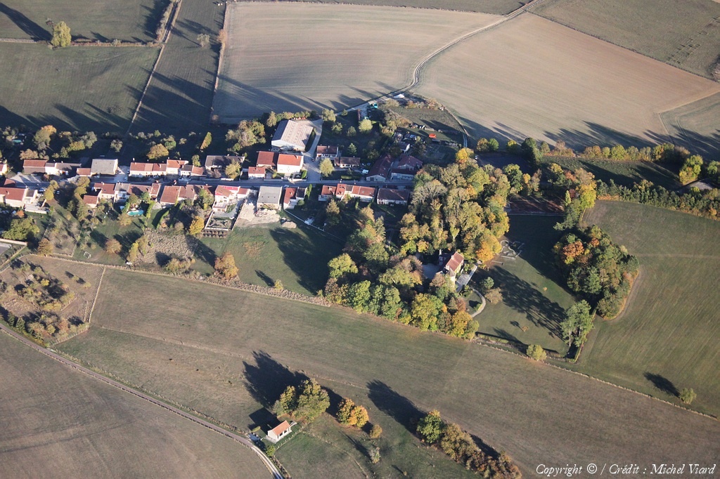
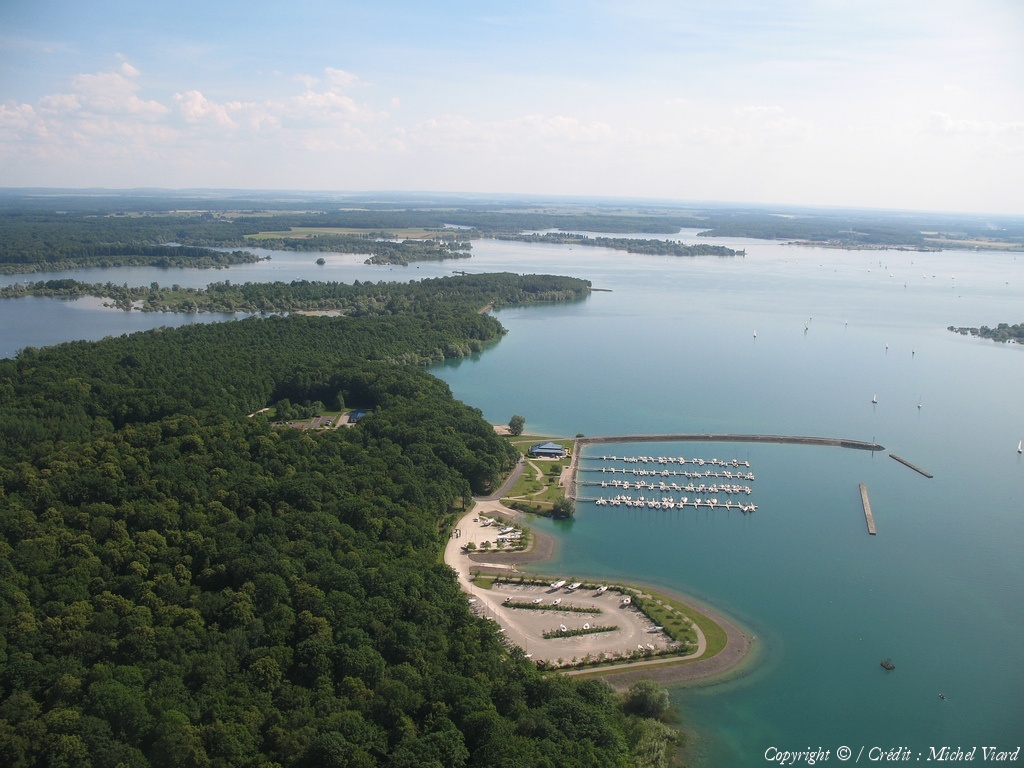
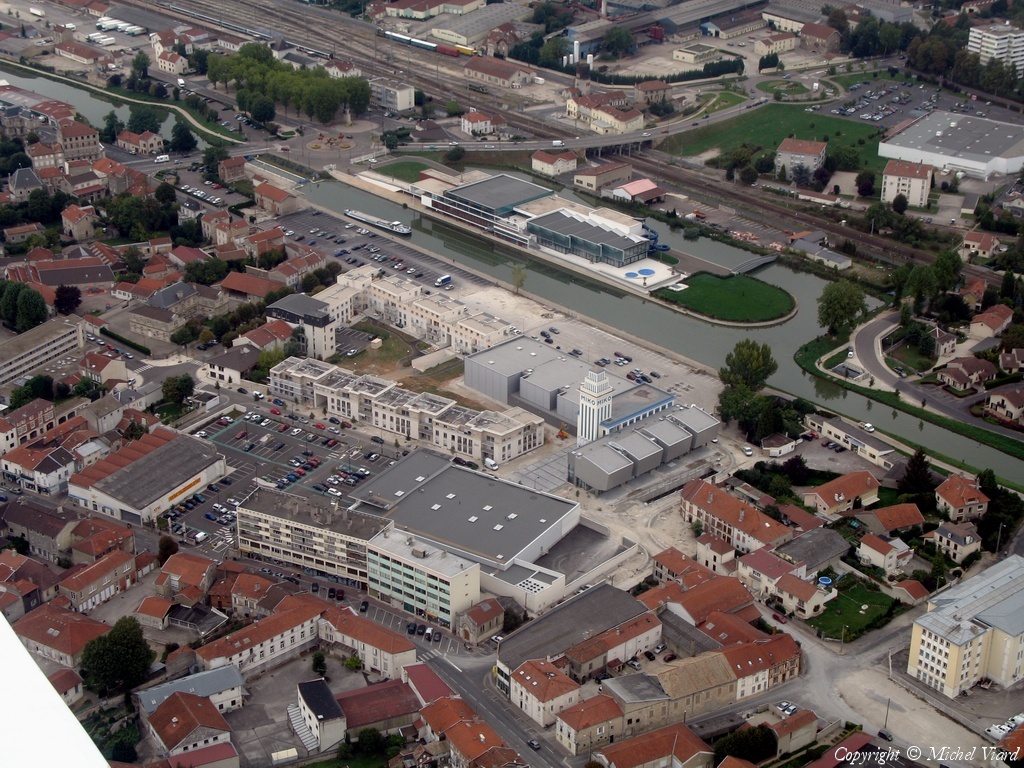
Pays :
France
Département :
Marne (51)
Lieu :
Landricourt
Coord. GPS :
48 36 54 N 04 48 41 E
Photographe :
Michel Viard
Prise le :
29/07/2023
Vue 360 fois (
1.64 fois/jour
)
Affiner la recherche
-
Situer sur la carte
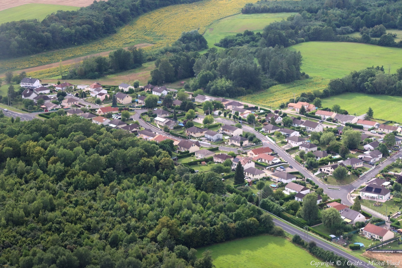
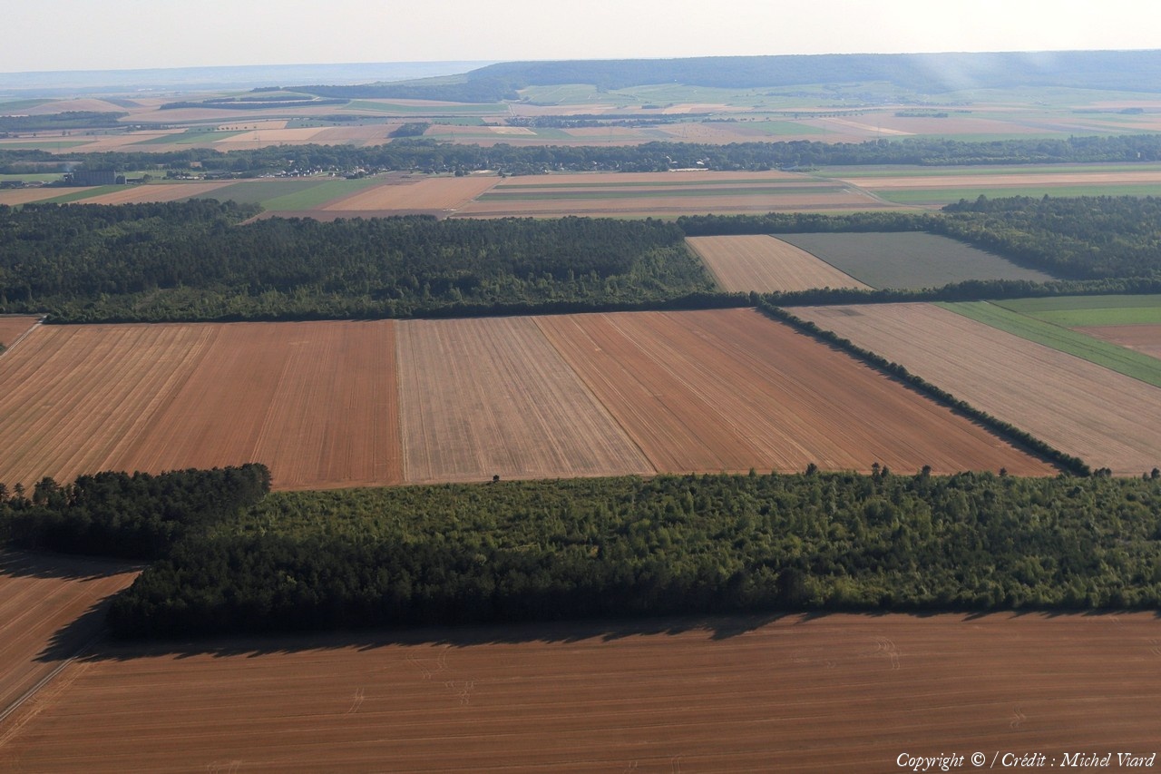
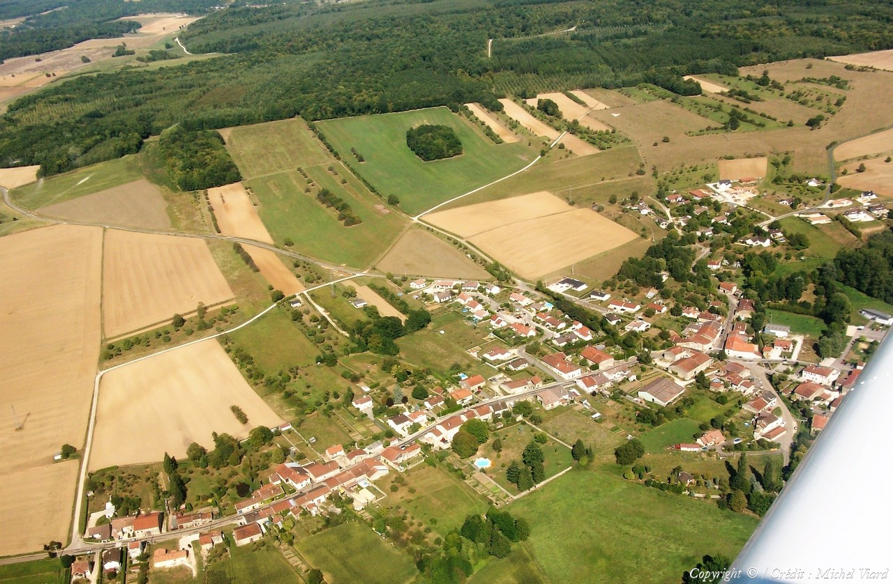
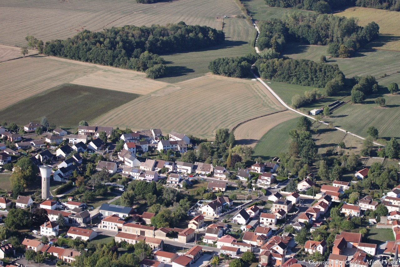
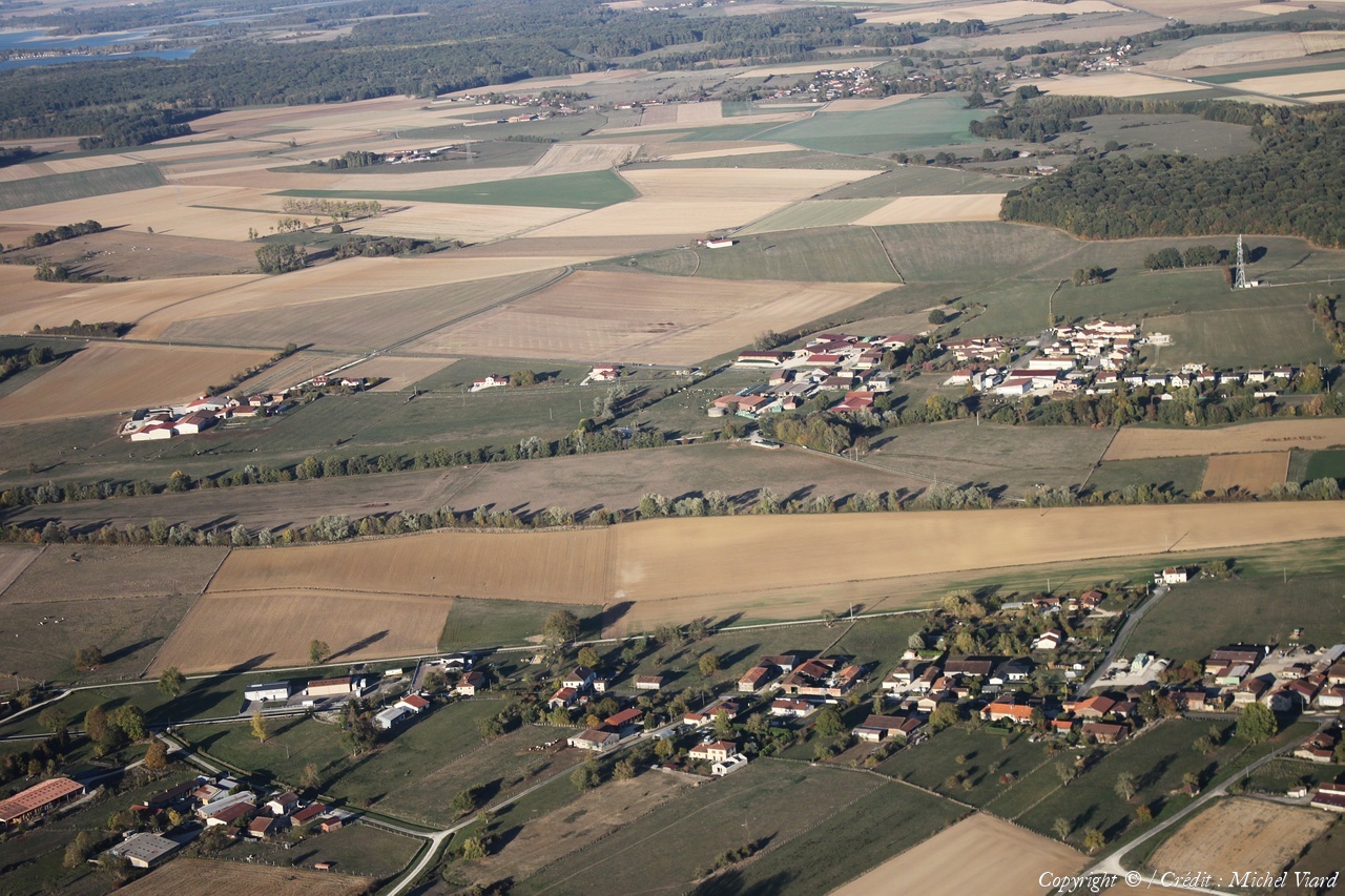
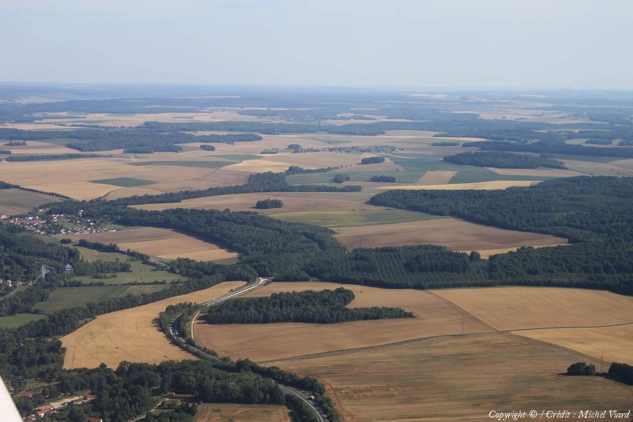
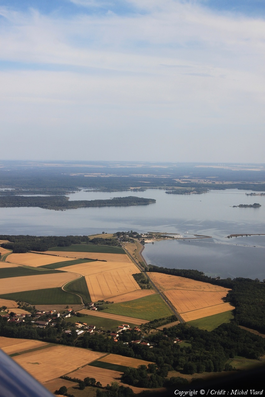
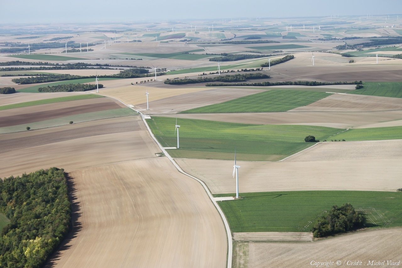
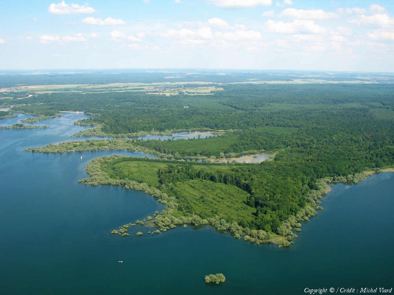
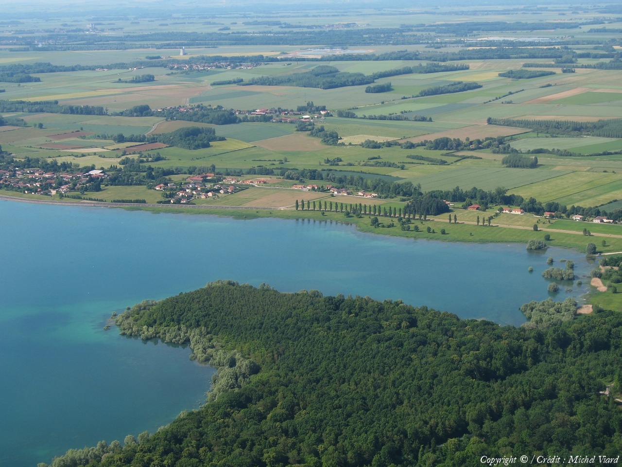
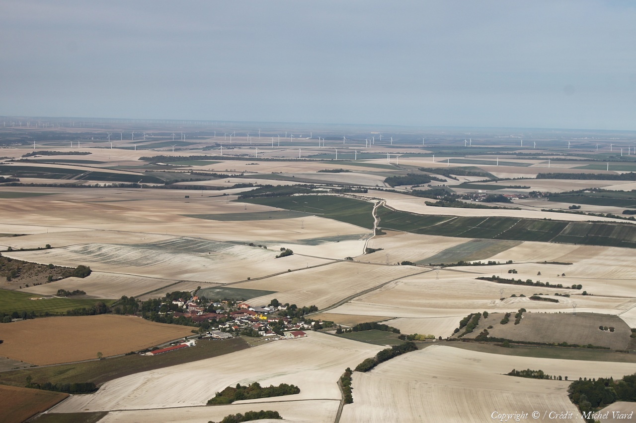
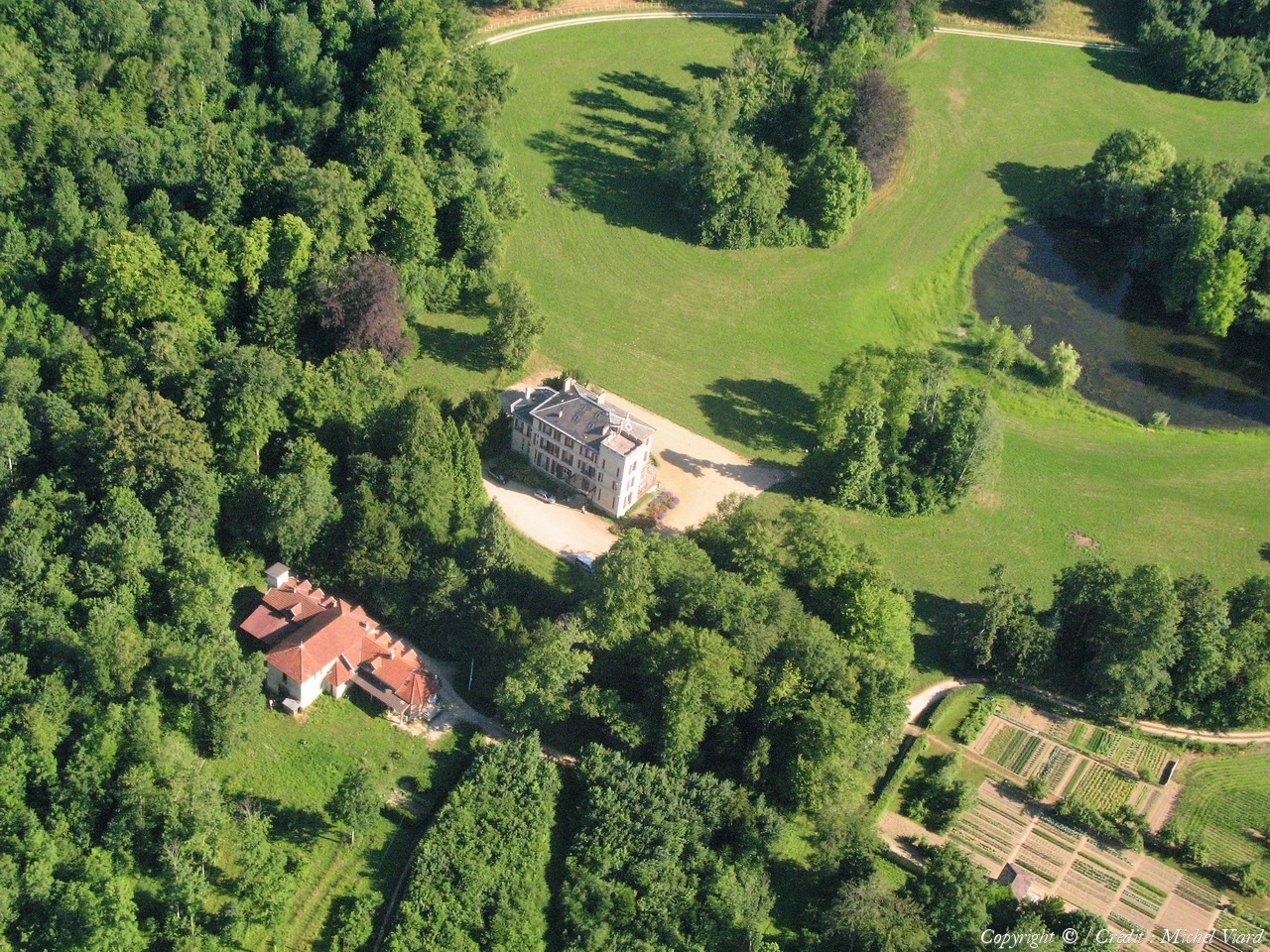
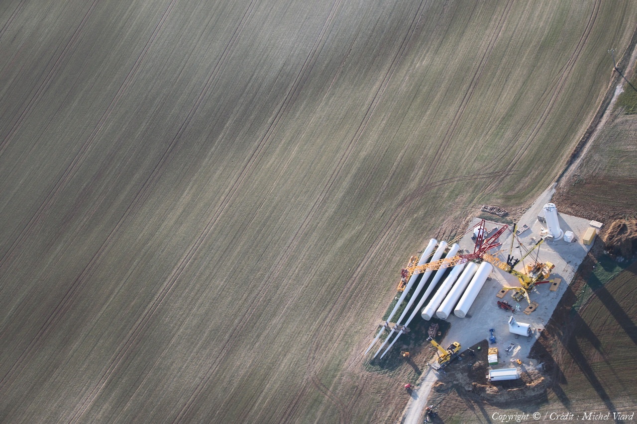
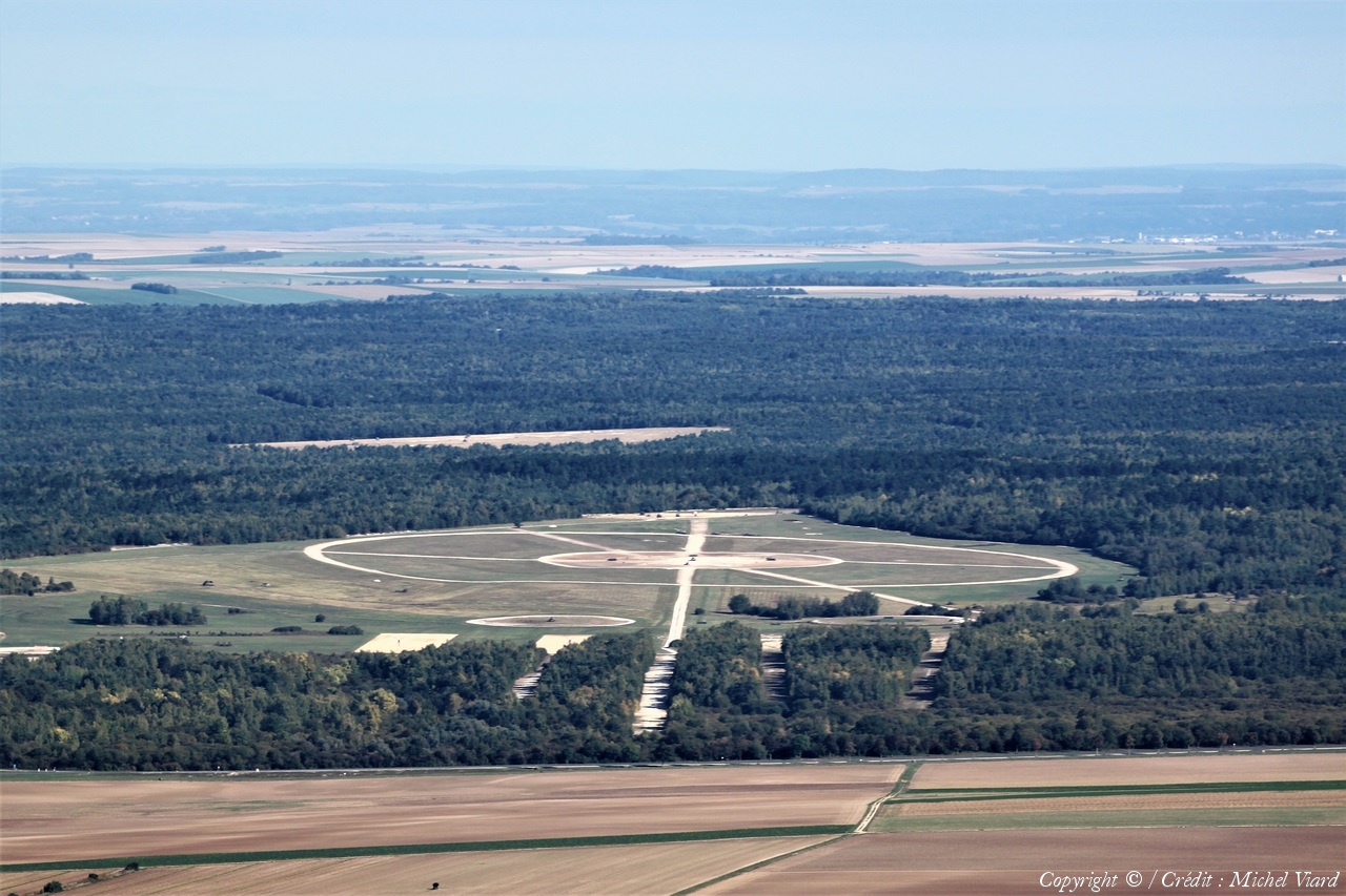
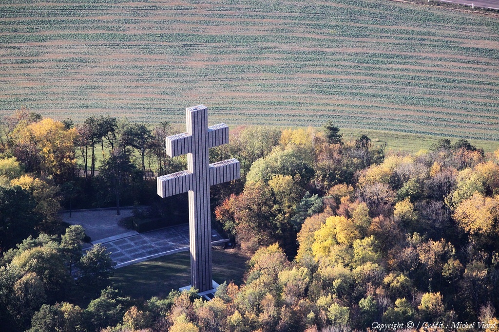
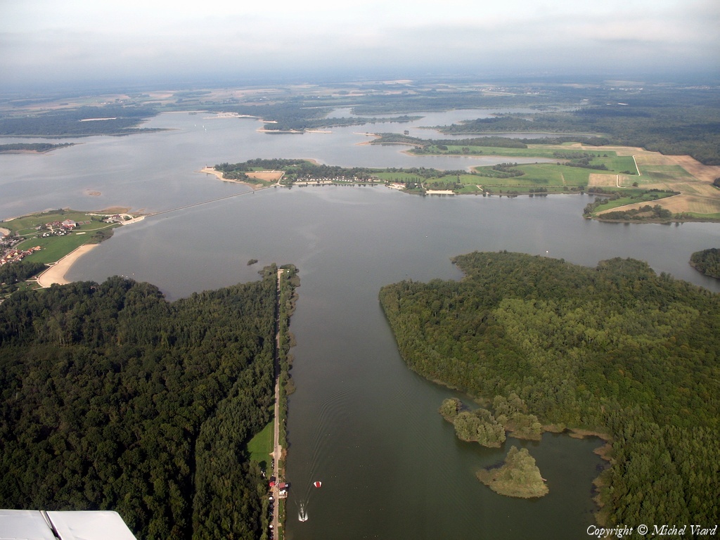
Pays :
France
Département :
Meuse (55)
Lieu :
Sommelonne
Coord. GPS :
48 40 14 N 05 02 12 E
Photographe :
Michel Viard
Prise le :
29/07/2023
Vue 383 fois (
1.74 fois/jour
)
Affiner la recherche
-
Situer sur la carte
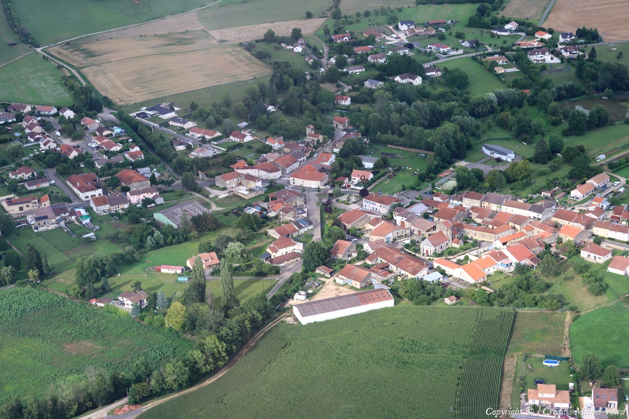
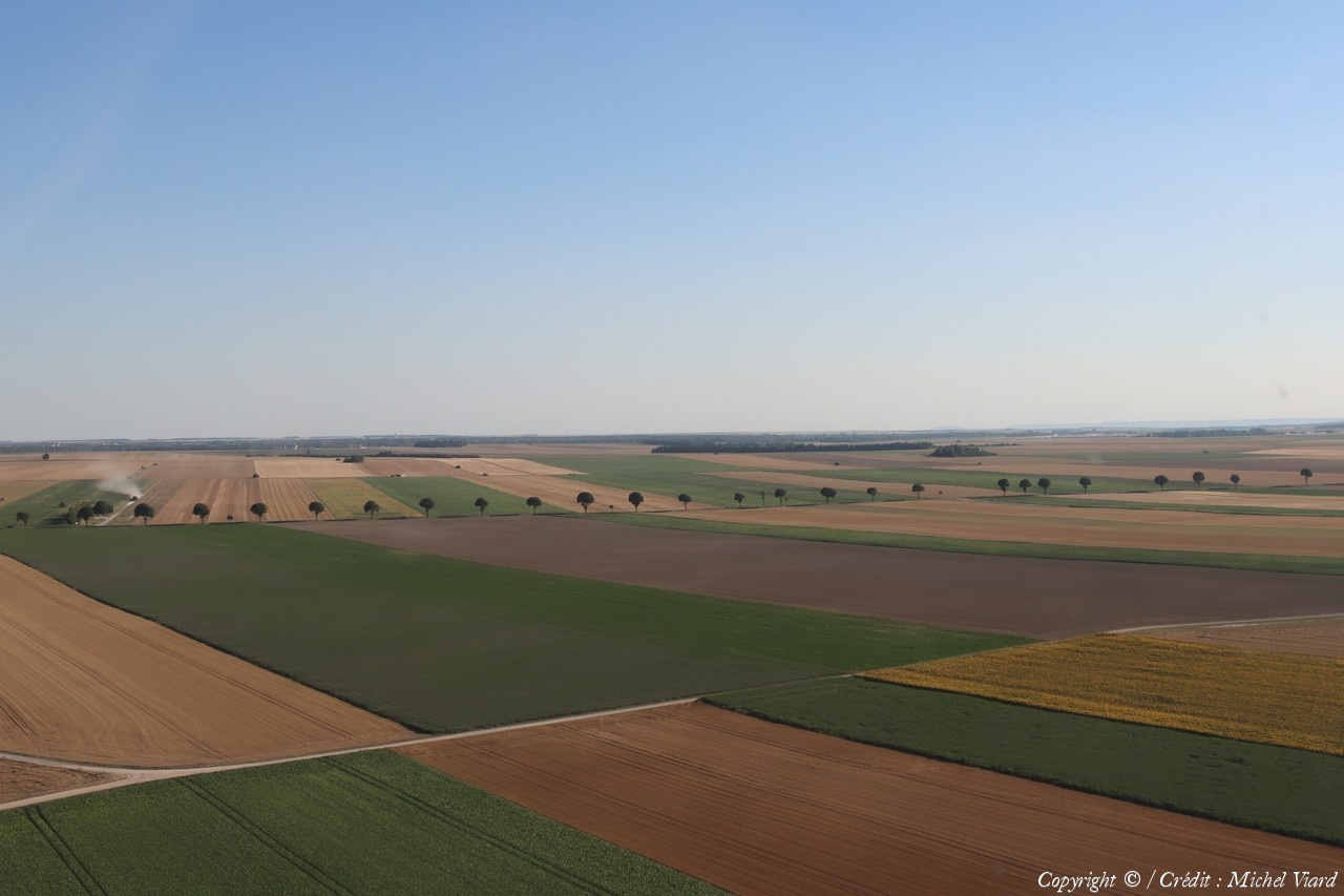
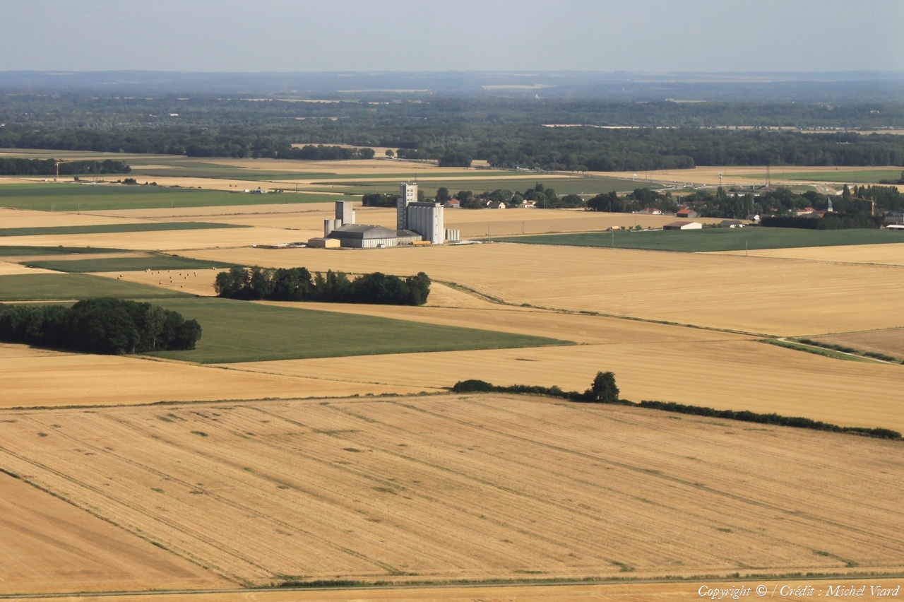
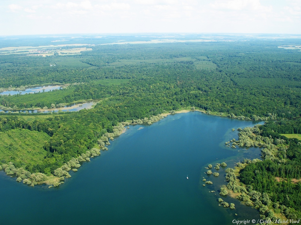
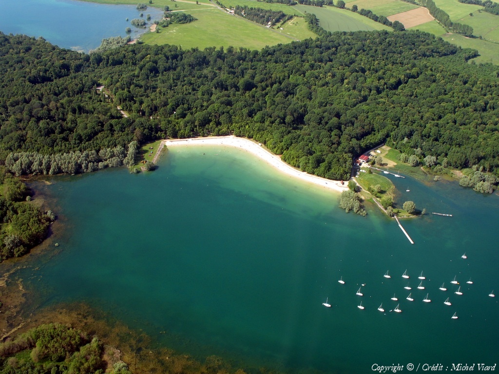
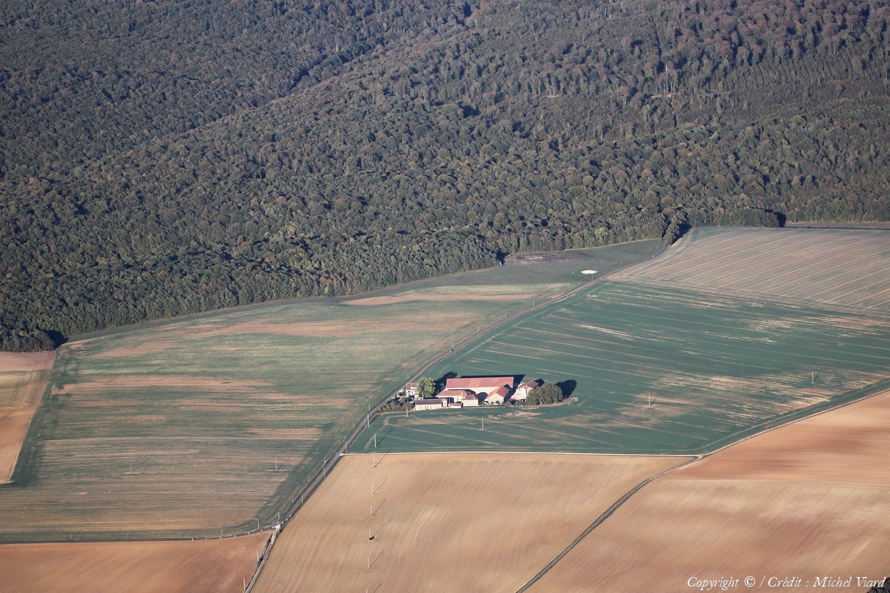
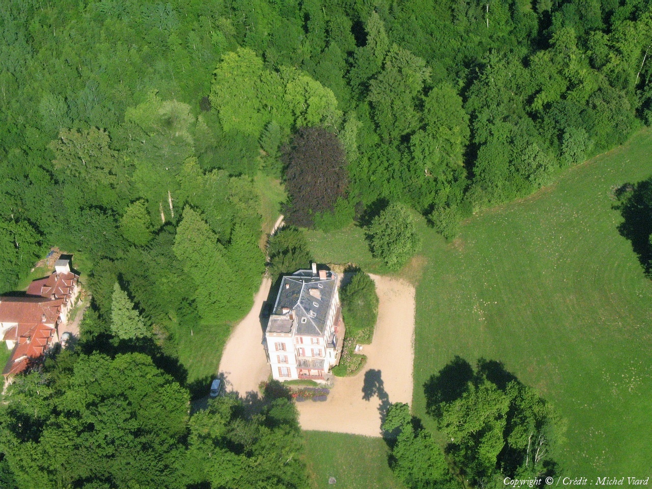
Pays :
France
Département :
Meuse (55)
Lieu :
Sommelonne
Coord. GPS :
48 40 14 N 05 02 12 E
Photographe :
Michel Viard
Prise le :
29/07/2023
Vue 358 fois (
1.63 fois/jour
)
Affiner la recherche
-
Situer sur la carte
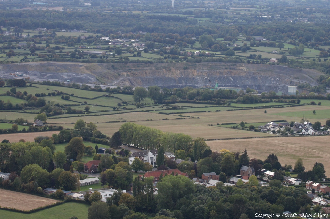
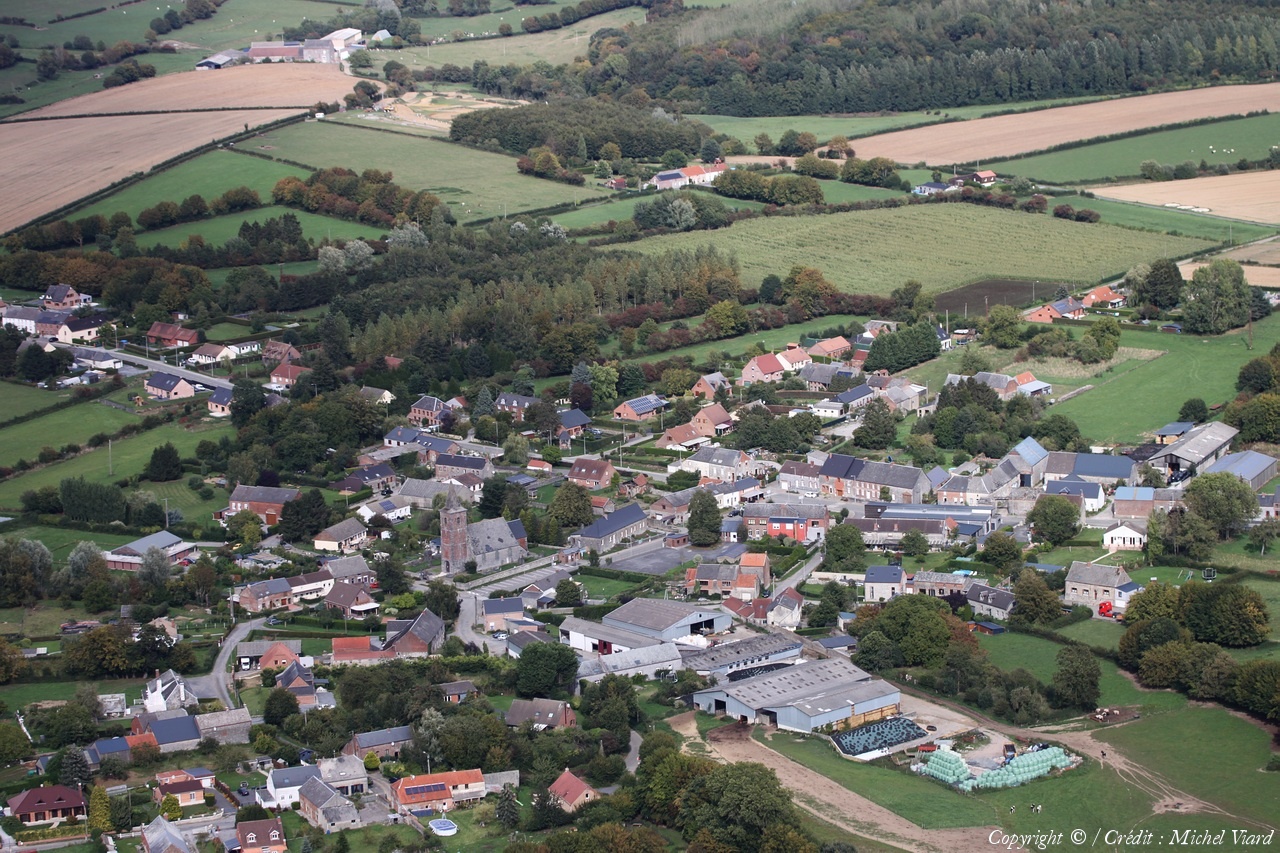
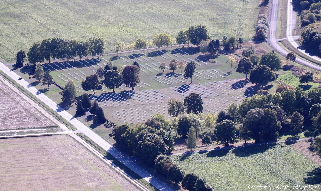
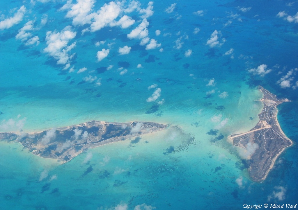
Pays :
France
Département :
Nord (59)
Lieu :
Glageon
Coord. GPS :
50 02 59 N 04 04 35 E
Photographe :
Michel Viard
Prise le :
08/09/2018
Vue 301 fois (
0.82 fois/jour
)
Affiner la recherche
-
Situer sur la carte
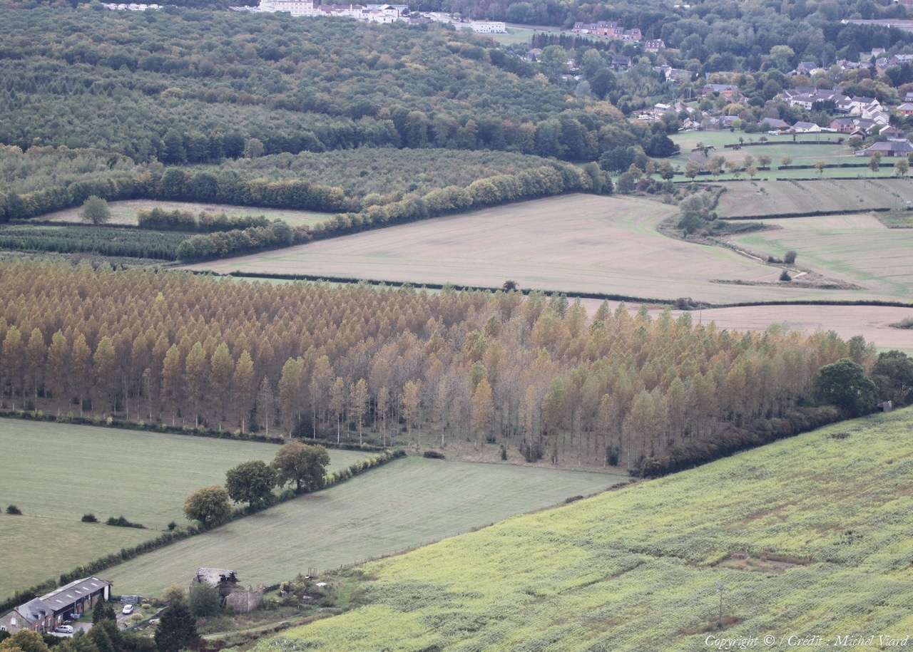
Pays :
France
Département :
Nord (59)
Lieu :
Glageon
Coord. GPS :
50 04 10 N 04 03 47 E
Photographe :
Michel Viard
Prise le :
08/09/2018
Vue 322 fois (
0.87 fois/jour
)
Affiner la recherche
-
Situer sur la carte
Pays :
France
Département :
Nord (59)
Lieu :
Fourmies
Coord. GPS :
50 00 37 N 04 05 26 E
Photographe :
Michel Viard
Prise le :
08/09/2018
Vue 313 fois (
0.85 fois/jour
)
Affiner la recherche
-
Situer sur la carte
Première page
Page précédente
1
2
3
4
5
6
7
8
9
10
11
...
Page suivante
Dernière page
Droits réservés - Copyright ©
Survol de France
Site en ligne depuis le 28 octobre 2004
310 visiteurs en ligne
-
696 visiteurs aujourd'hui
Information sur la confidentialité
-
Mentions légales
Mesure d'audience ROI frequentation par


