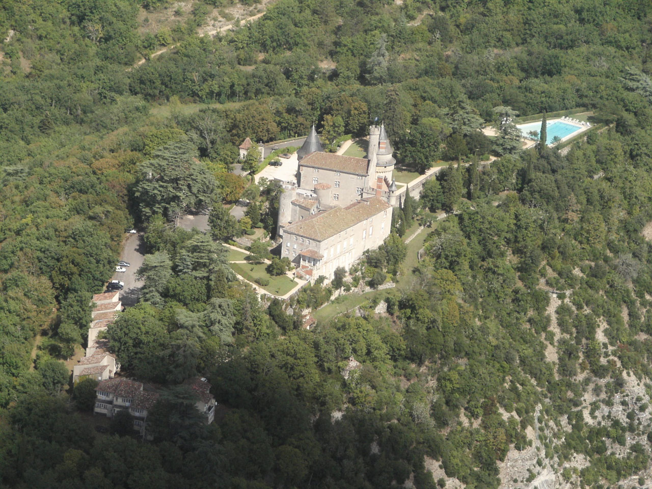
Vous devez activer Javascript pour pouvoir afficher correctement cette page !
Accueil / Recherche
|
Les photos en France
|
Les photos des autres pays
|
Envoyer vos photos
|
Le TOP 20
Conditions d'utilisation
|
Google Maps
|
Formulaire de contact
|
Nouvelles photos ajoutées
|
Newsletter
Publicité :
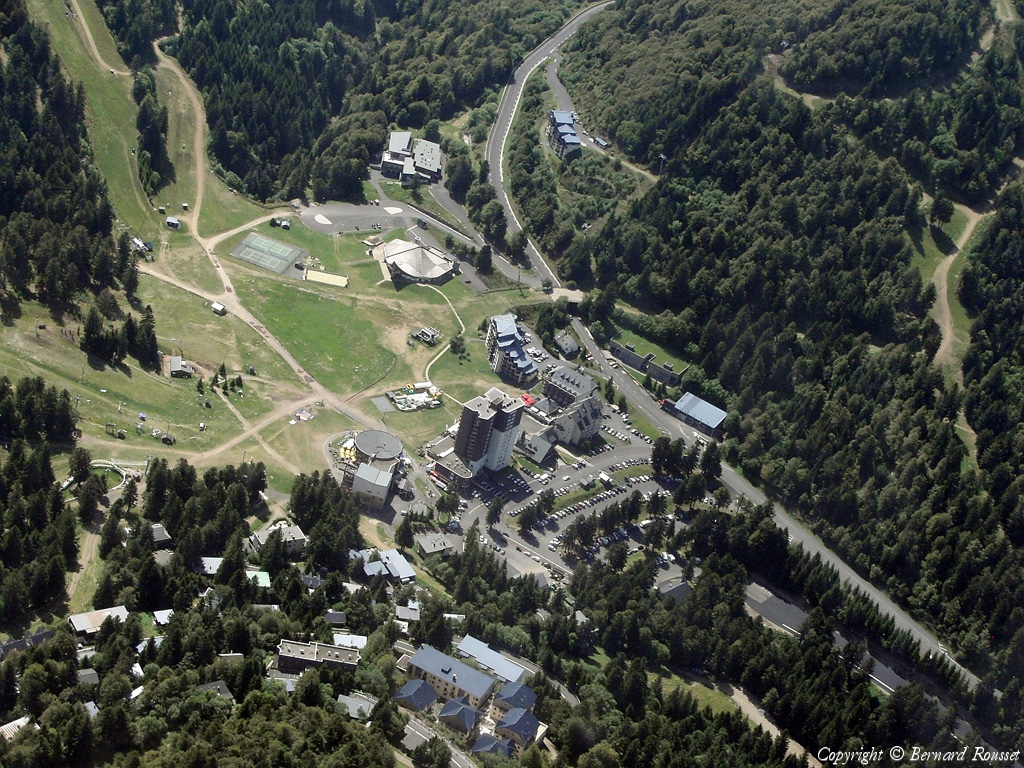
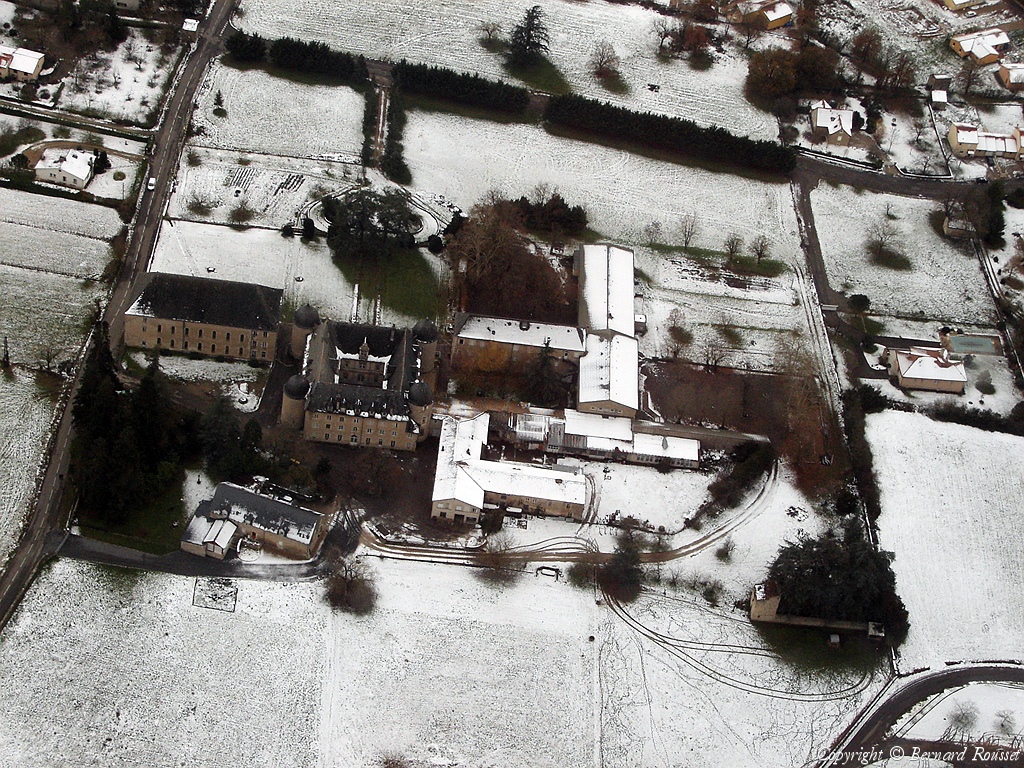
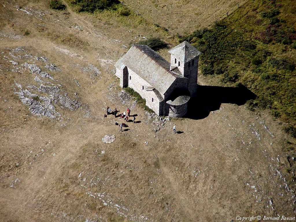
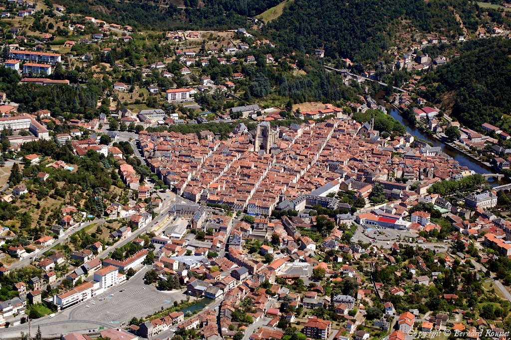
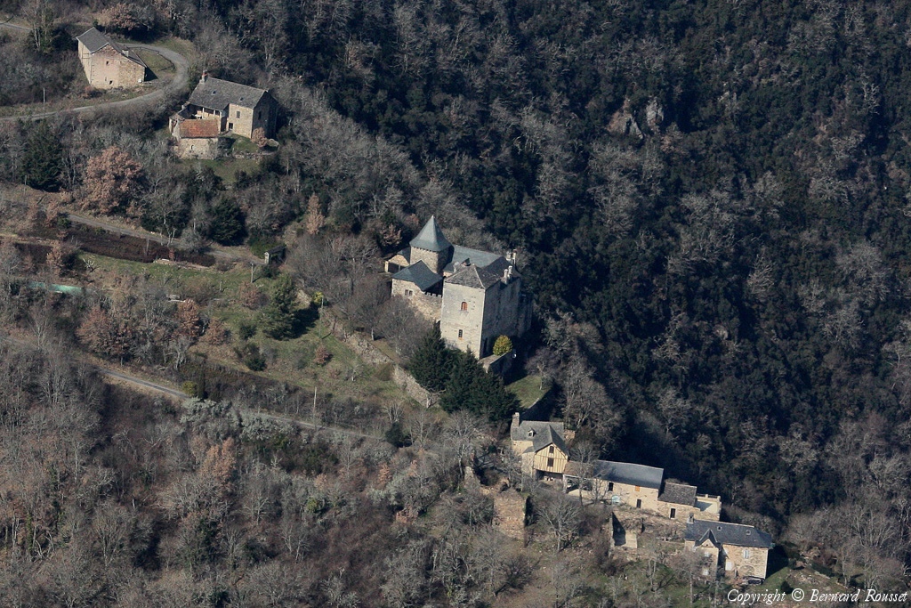
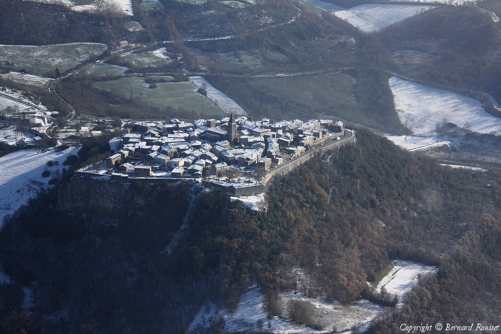
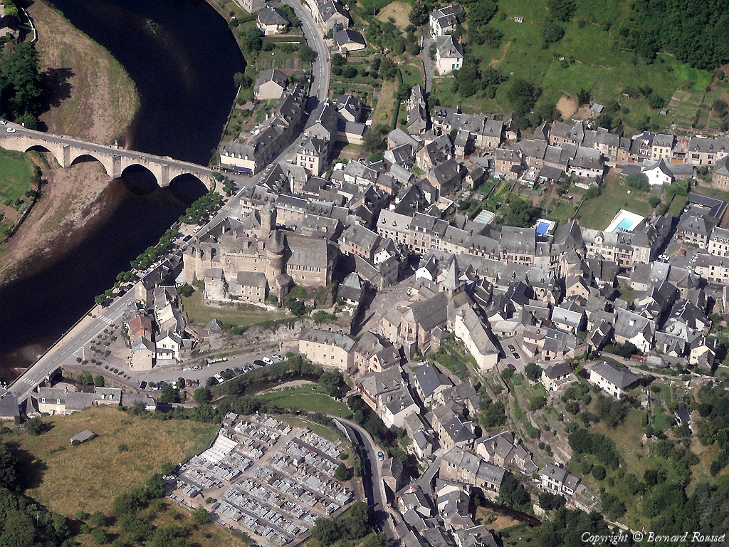
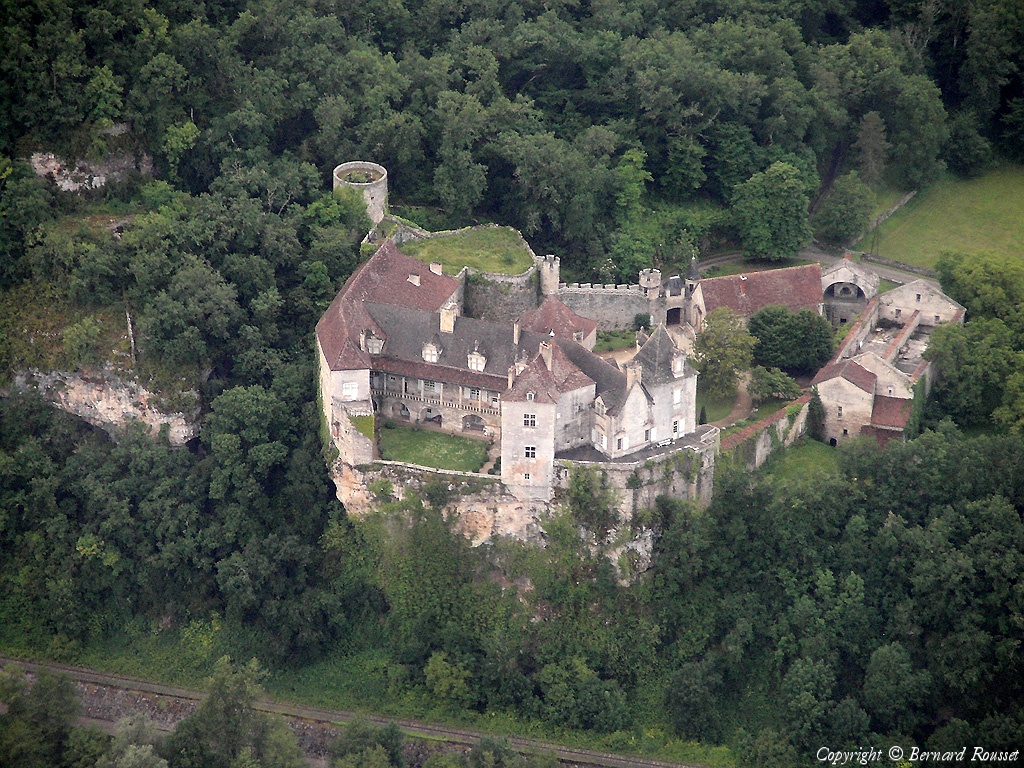
Nombre de photo(s) :
311
Lancer le
diaporama
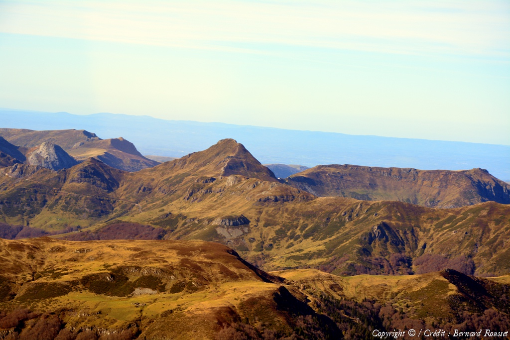
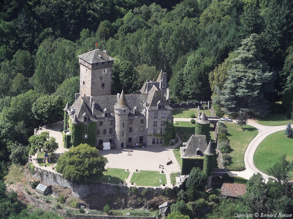
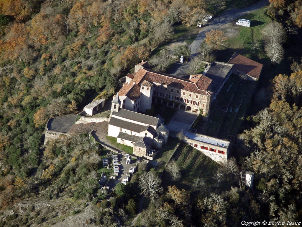
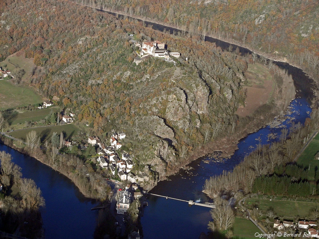
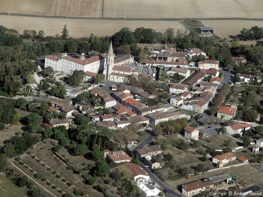
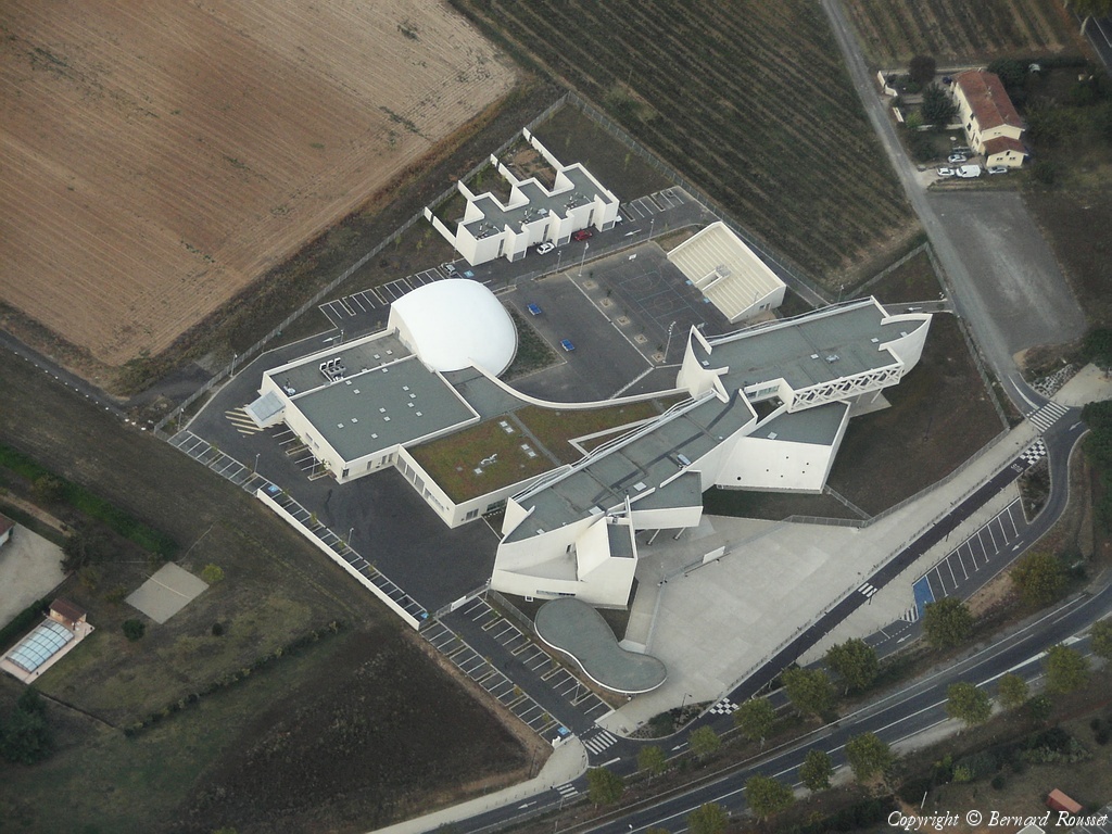
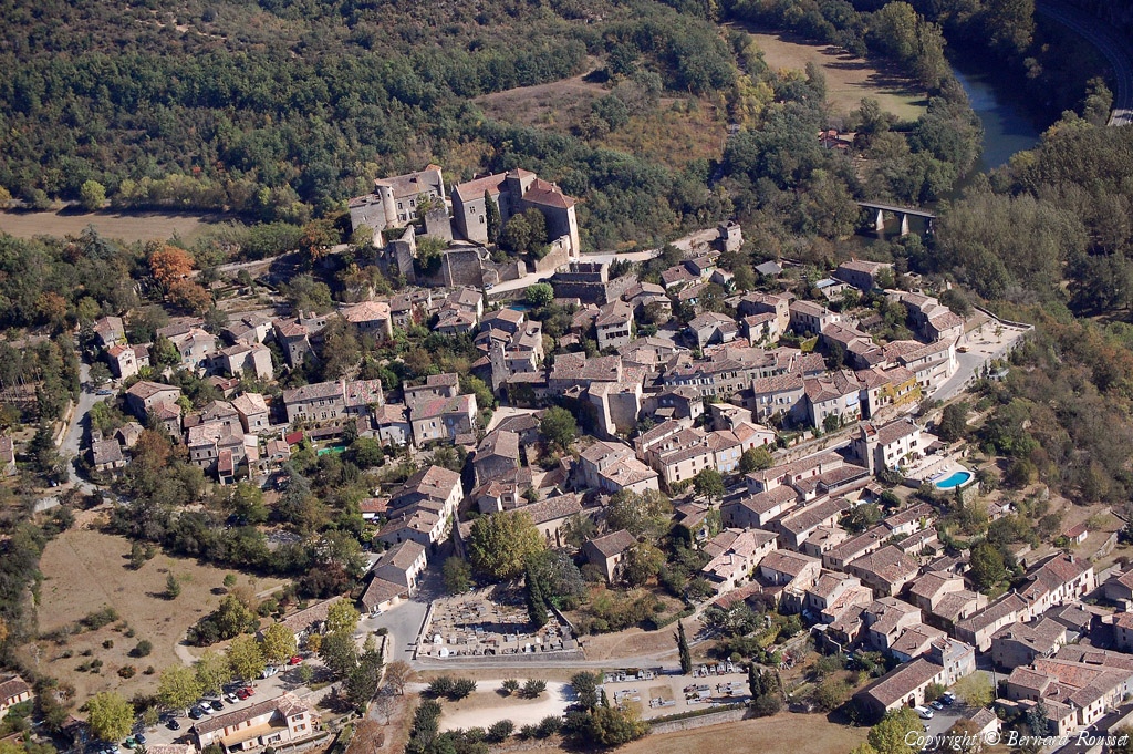
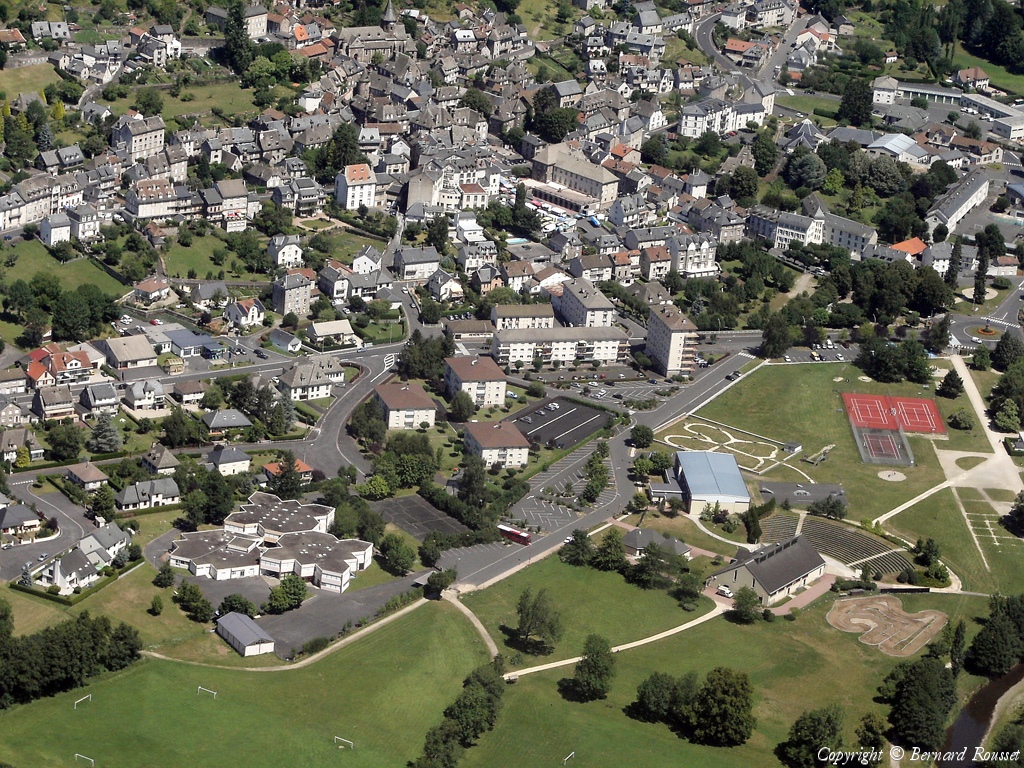
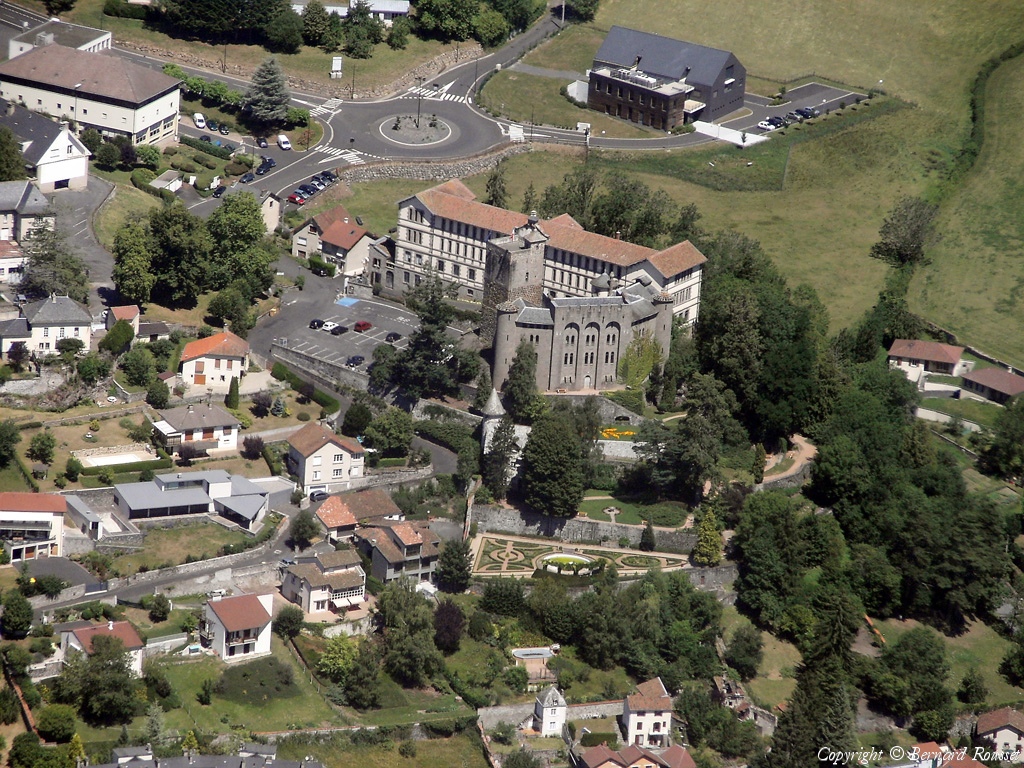
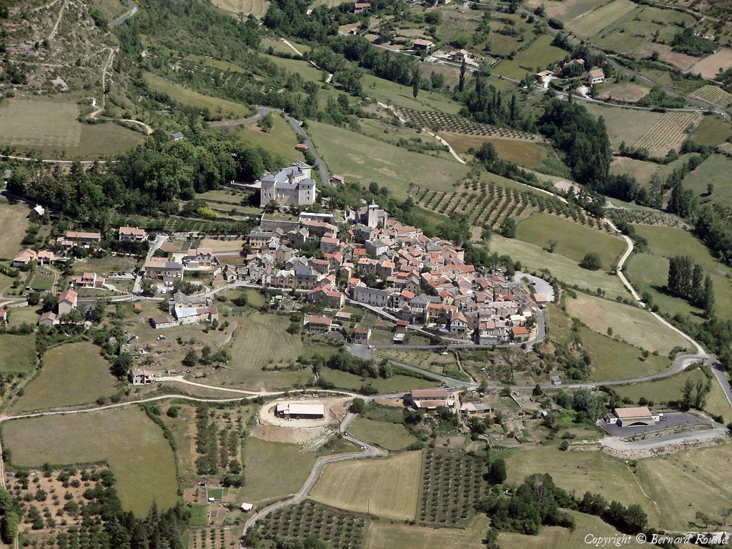
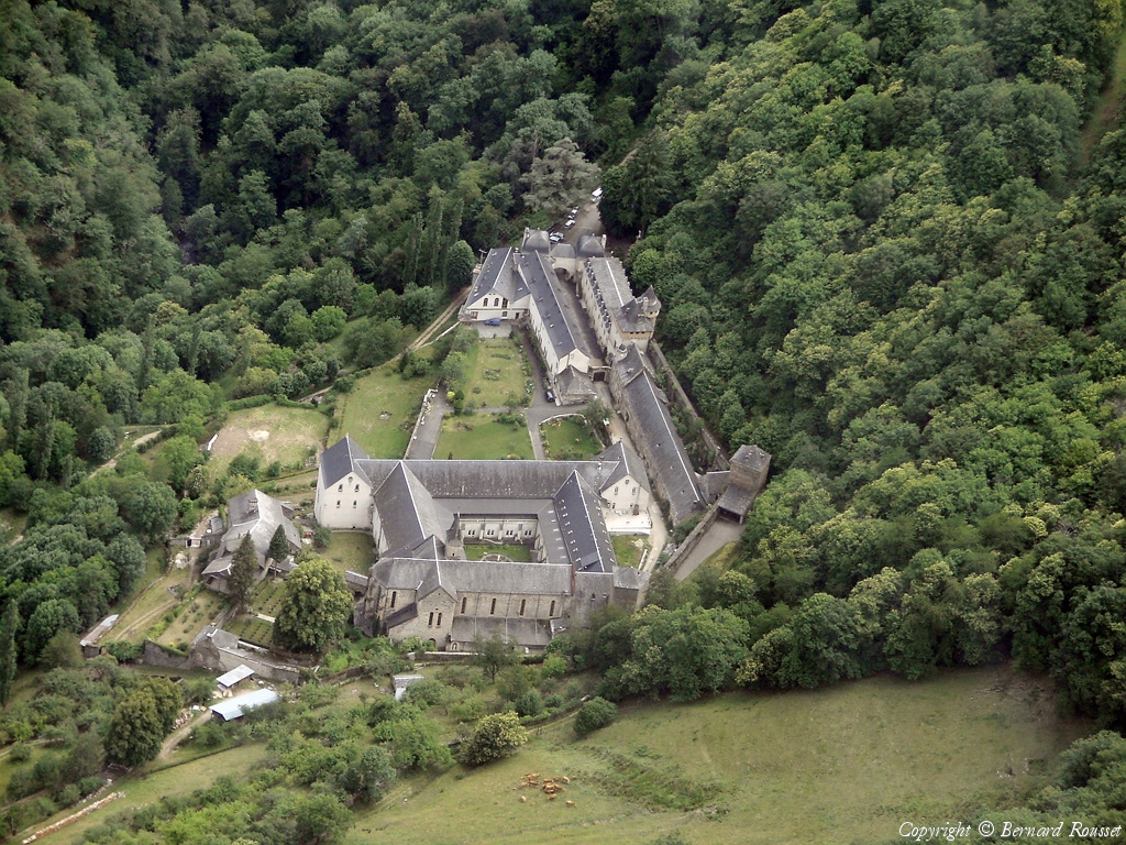
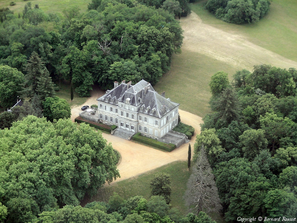
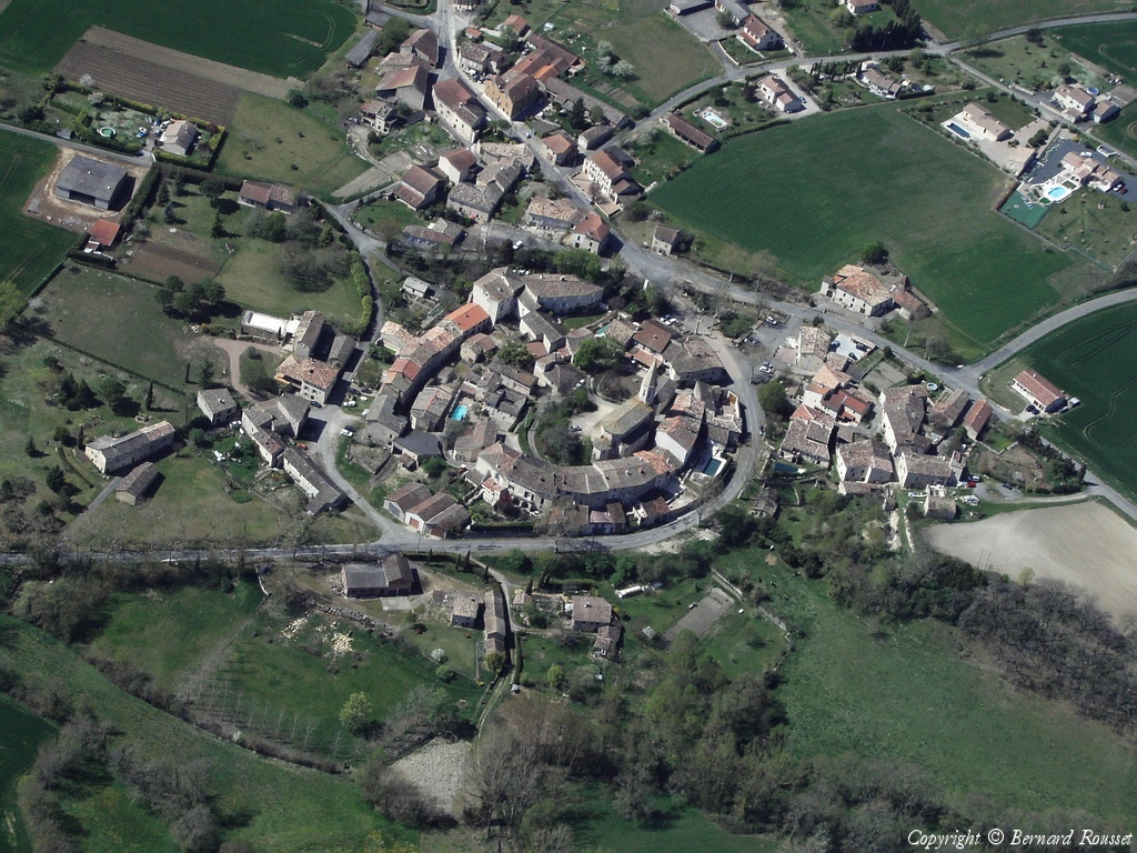
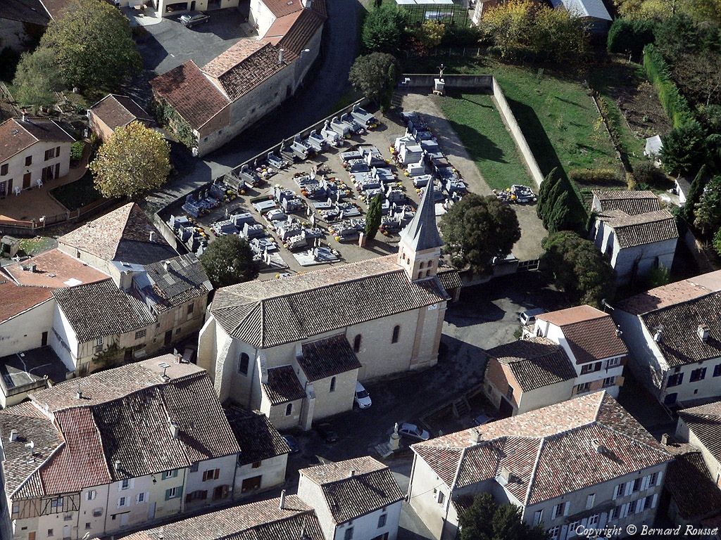
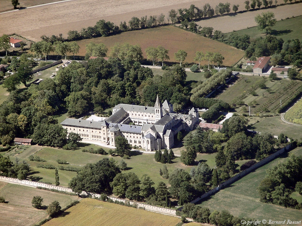
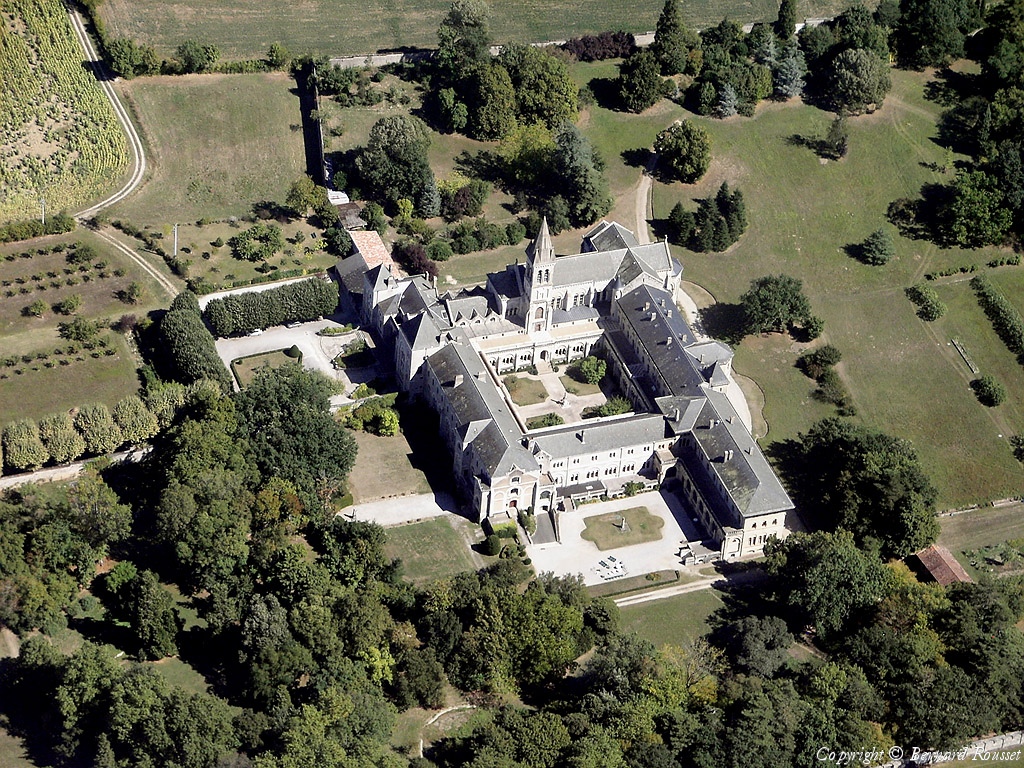
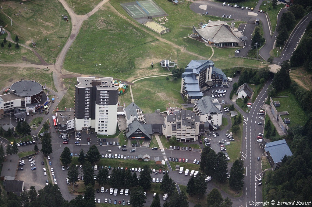
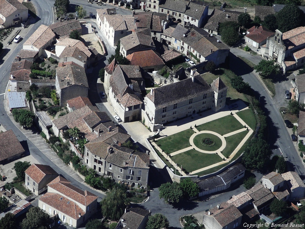
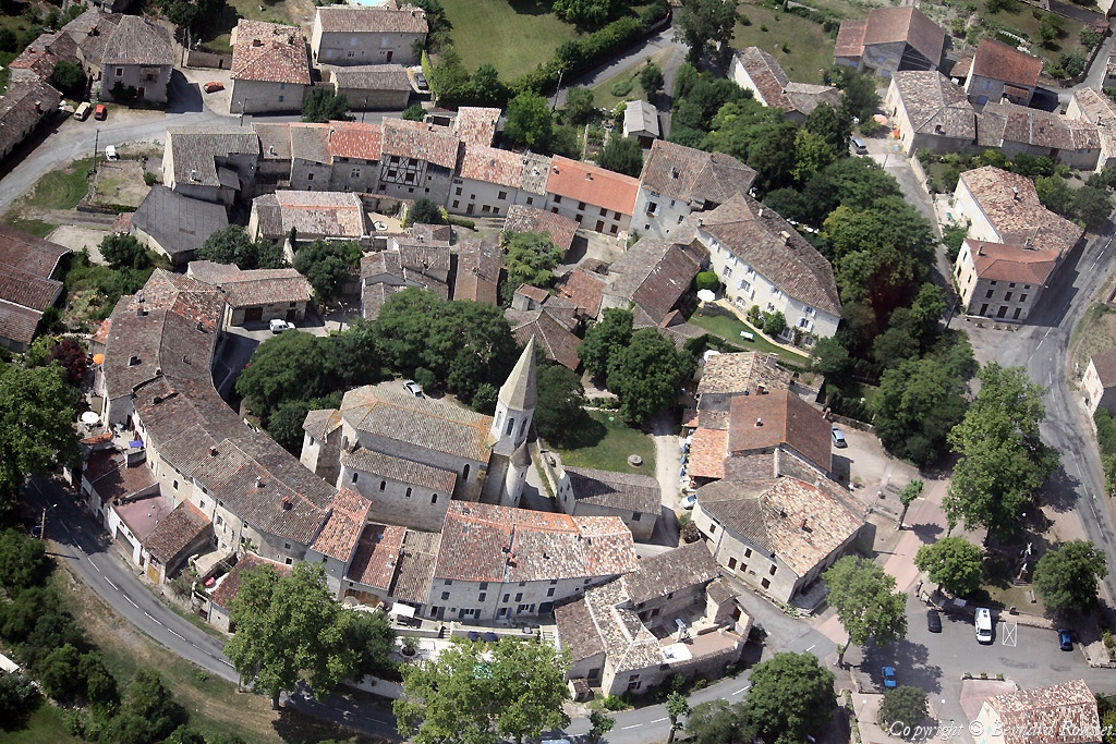
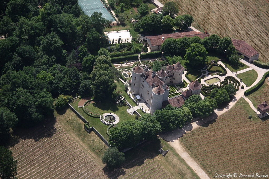
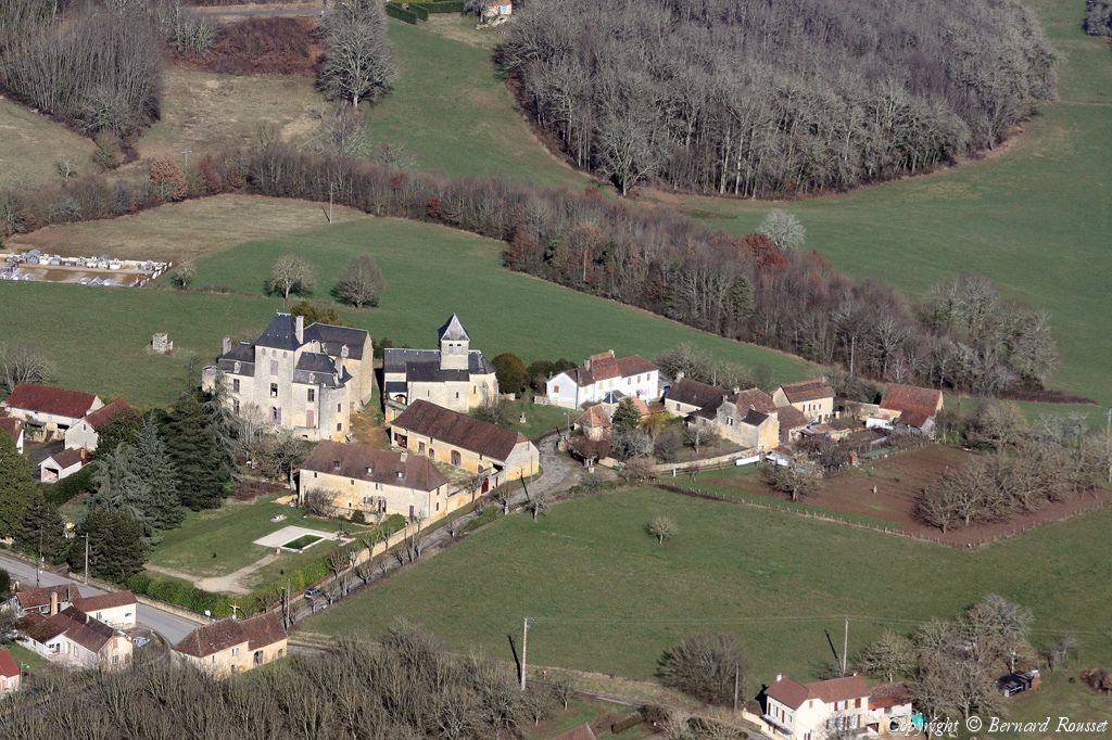
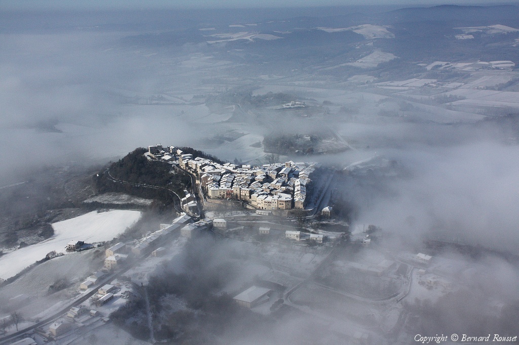
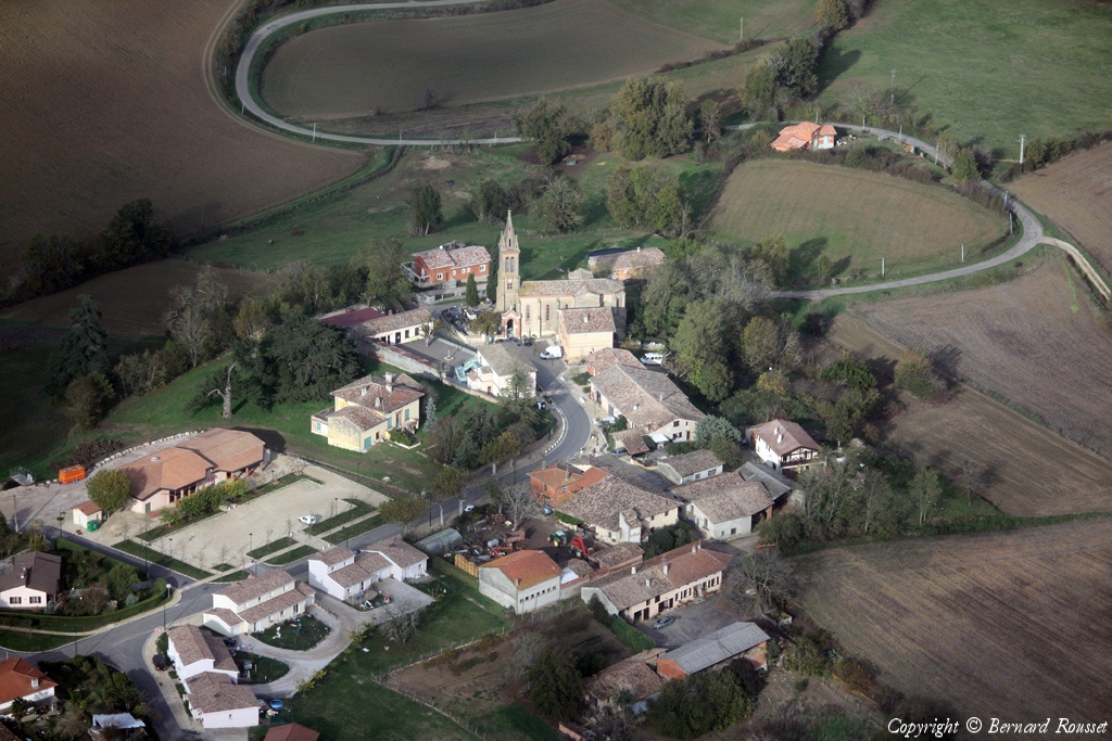
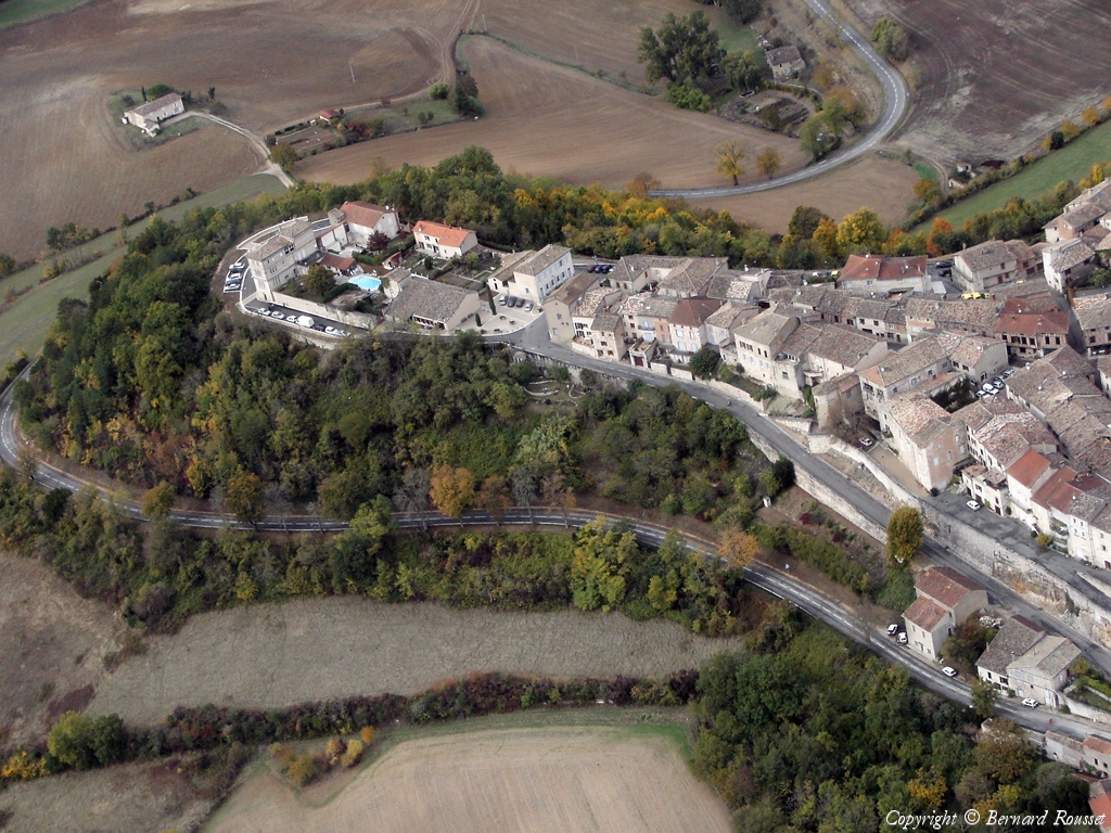
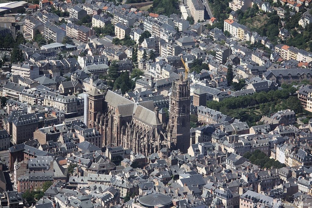
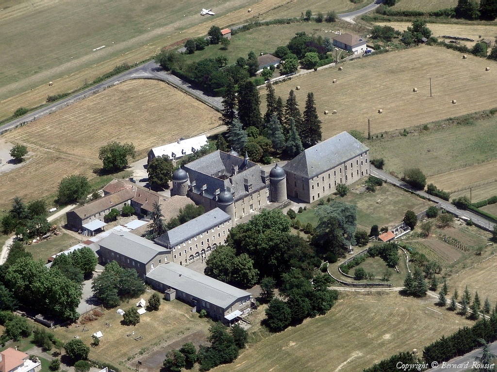
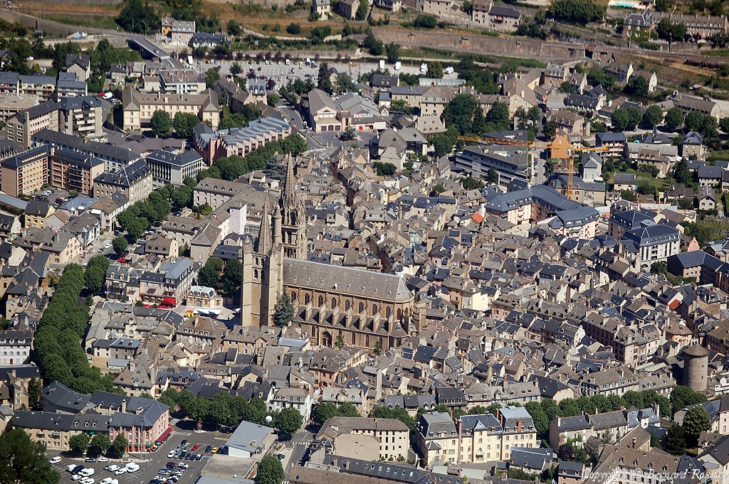
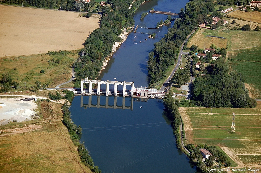
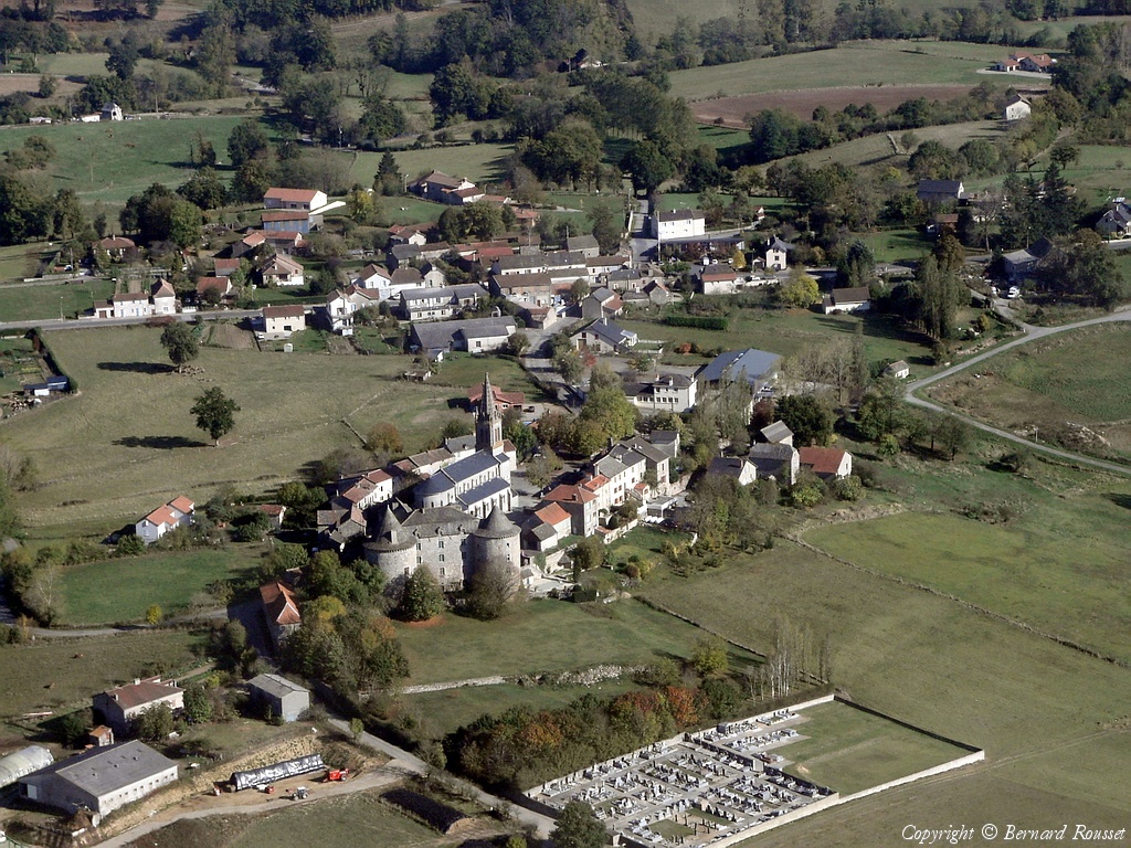
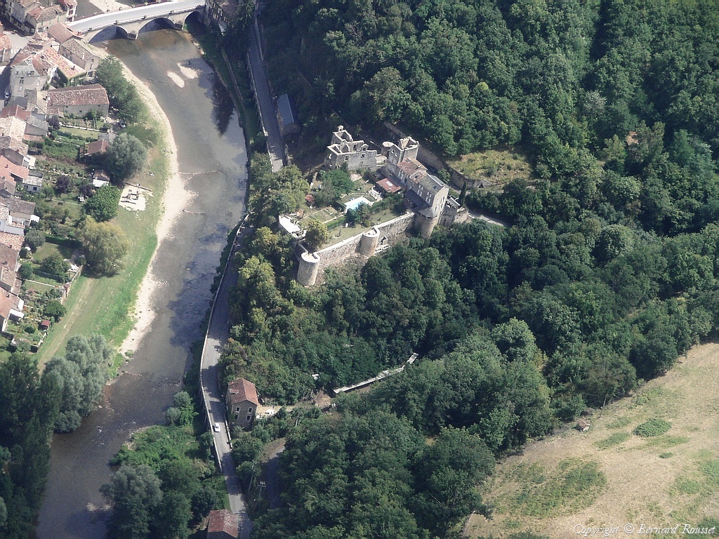
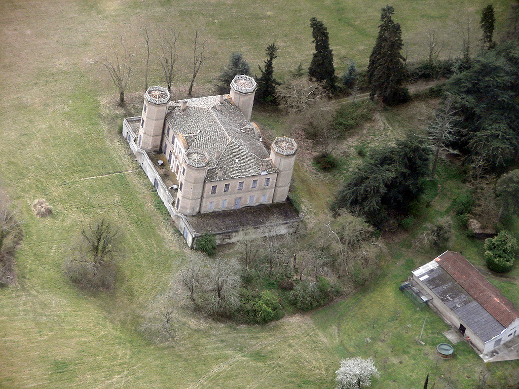
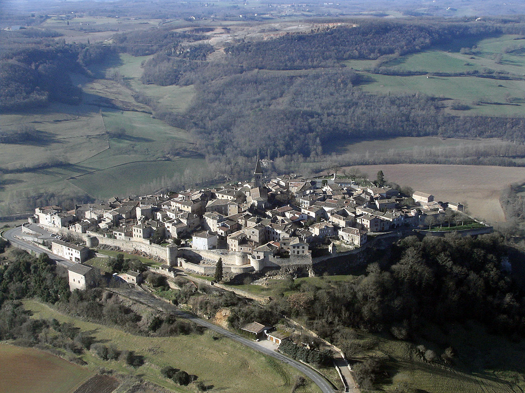
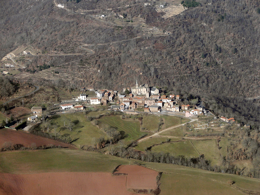
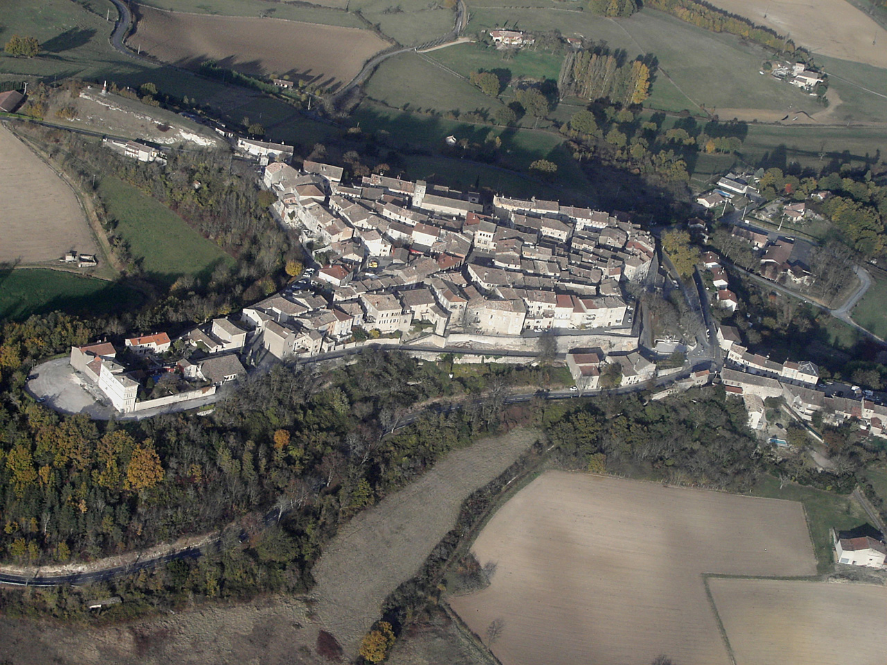
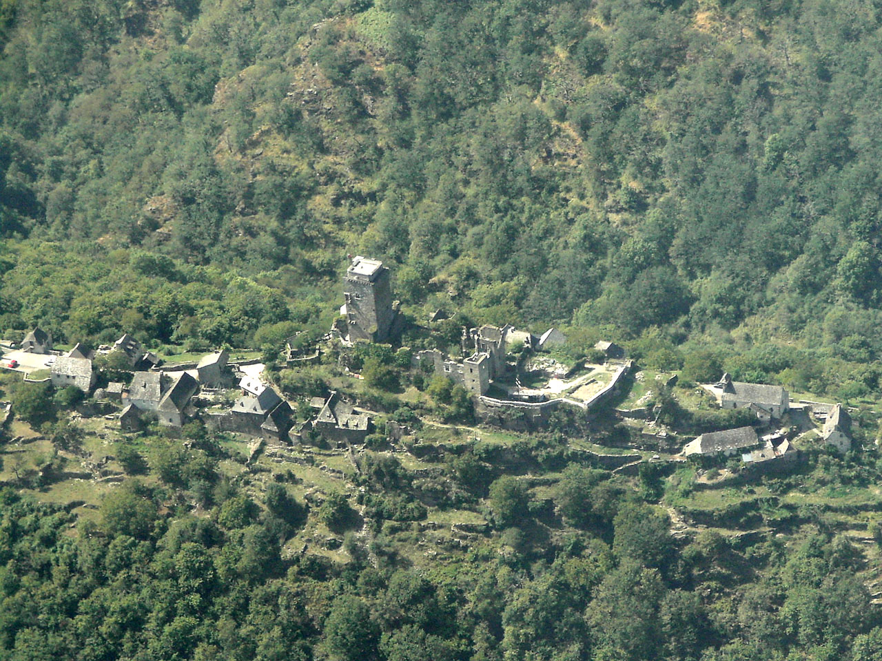
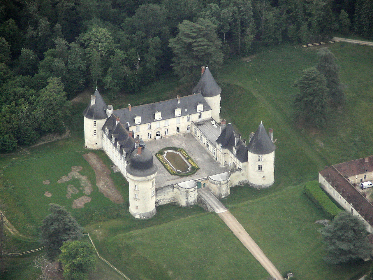
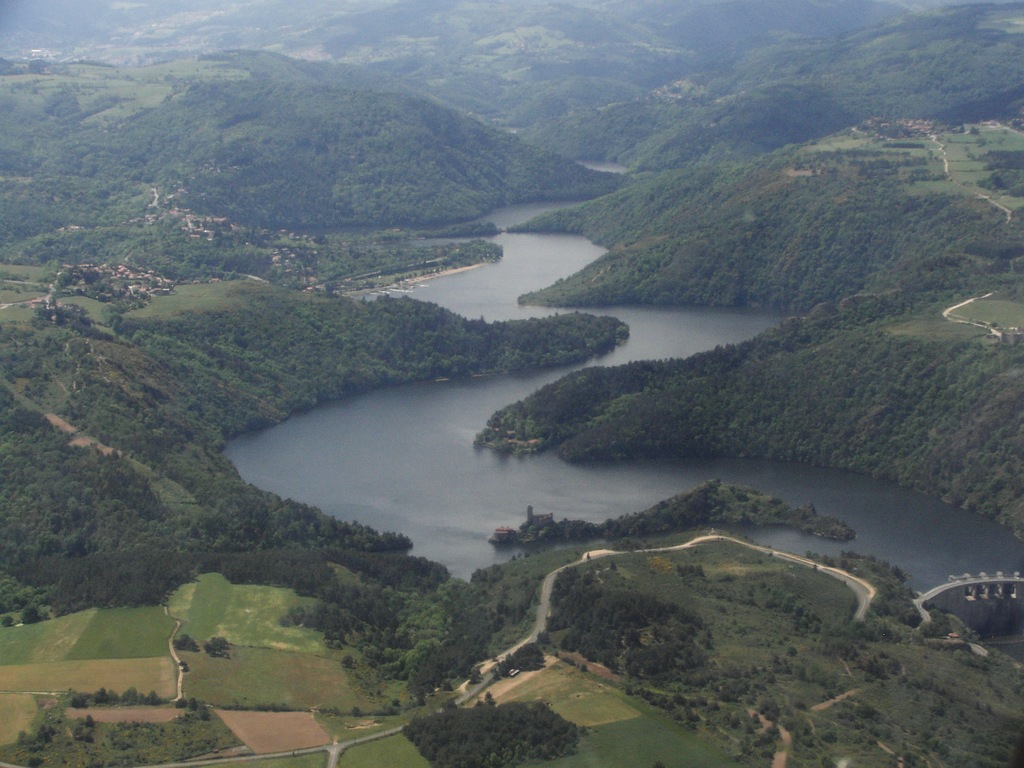
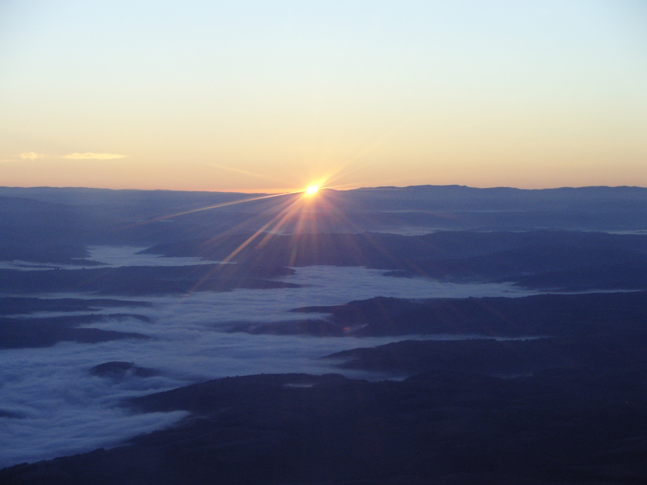
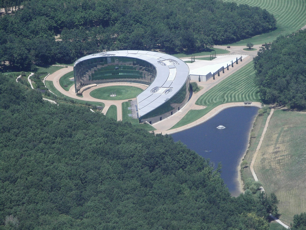
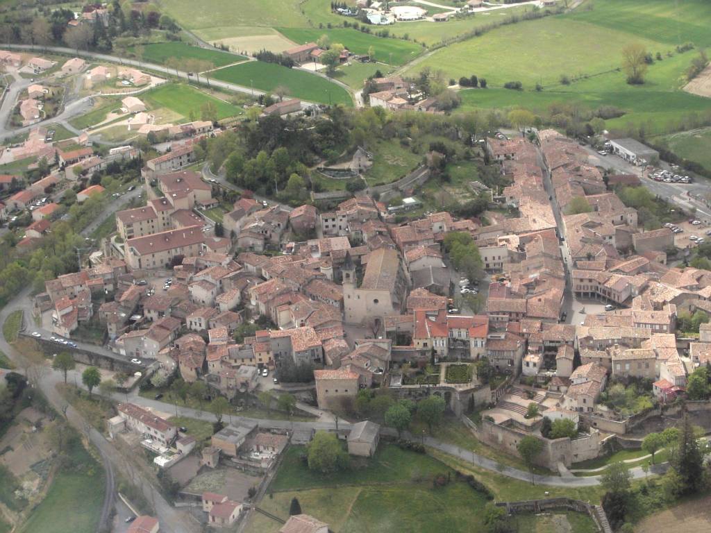
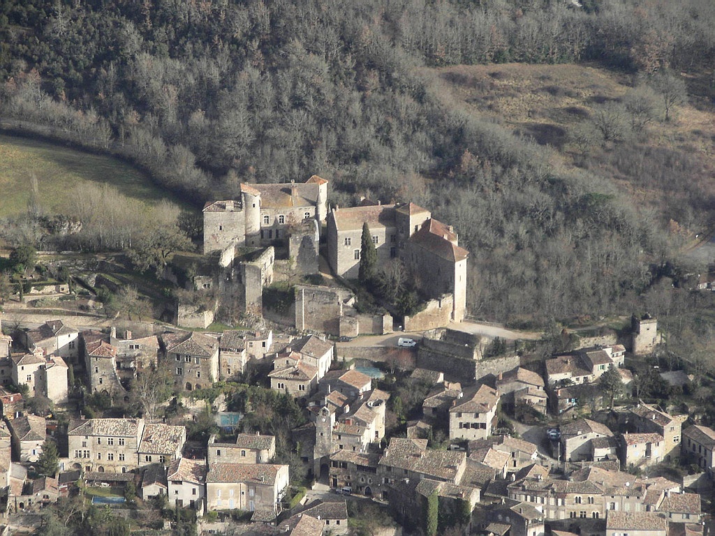
Pays :
France
Département :
Aveyron (12)
Lieu :
Abbaye de Bonneval
Coord. GPS :
44 33 45 N 02 47 38 E
Photographe :
Bernard Rousset
Prise le :
12/06/2011
Vue 3690 fois (
0.78 fois/jour
)
Affiner la recherche
-
Situer sur la carte
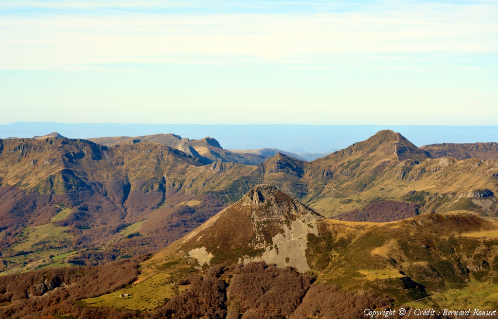
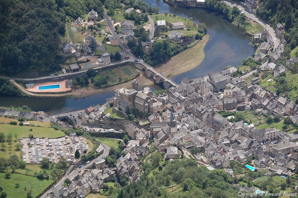
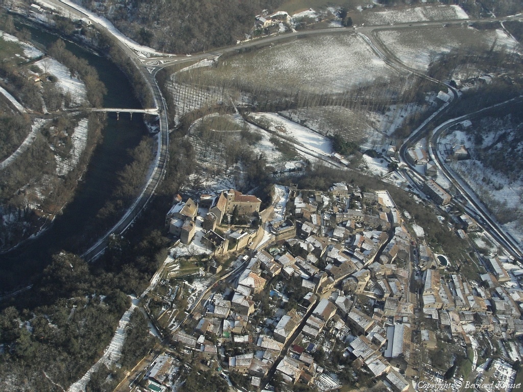
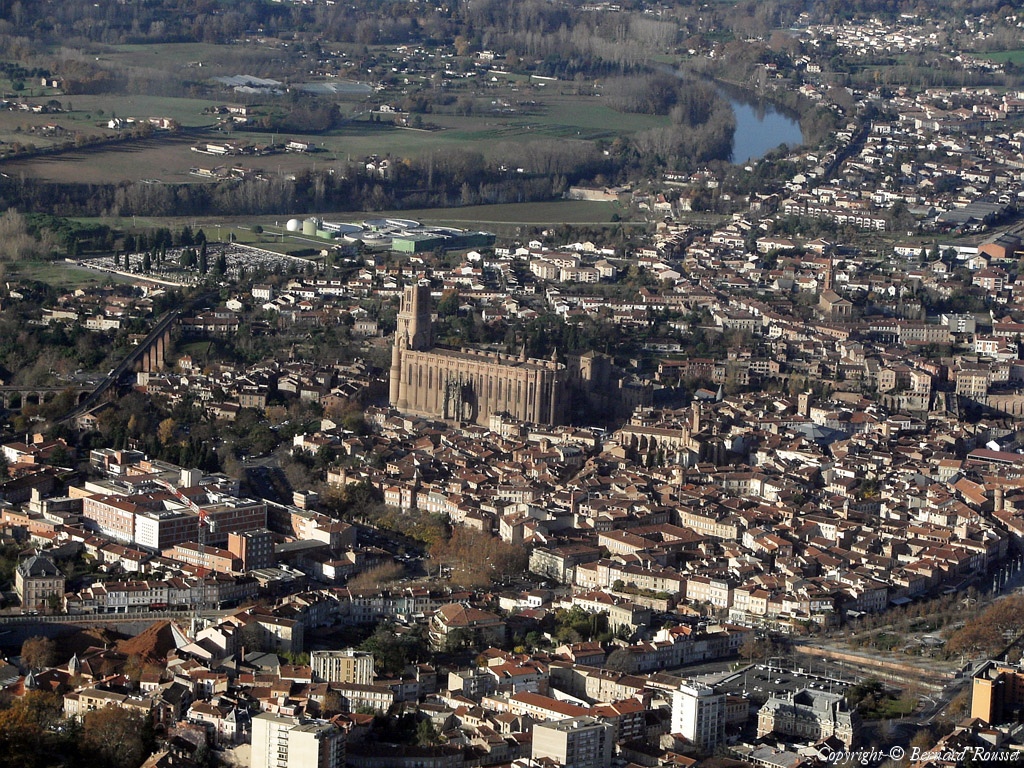
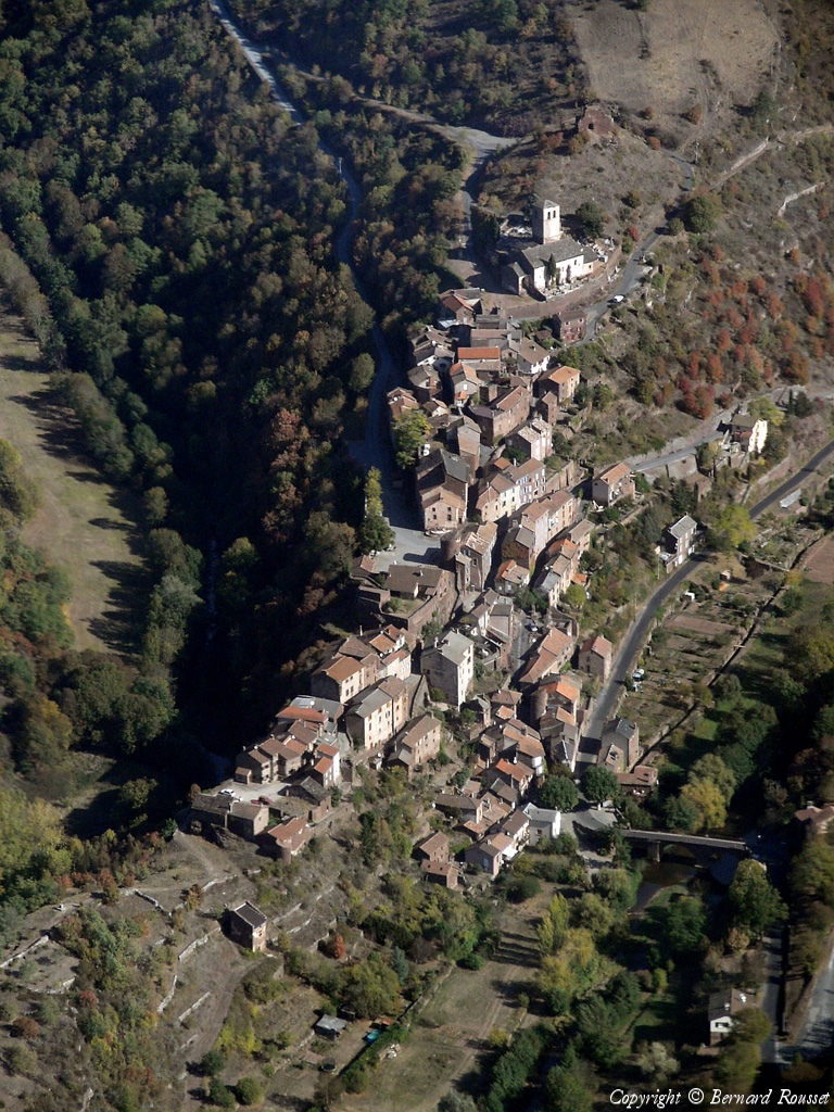
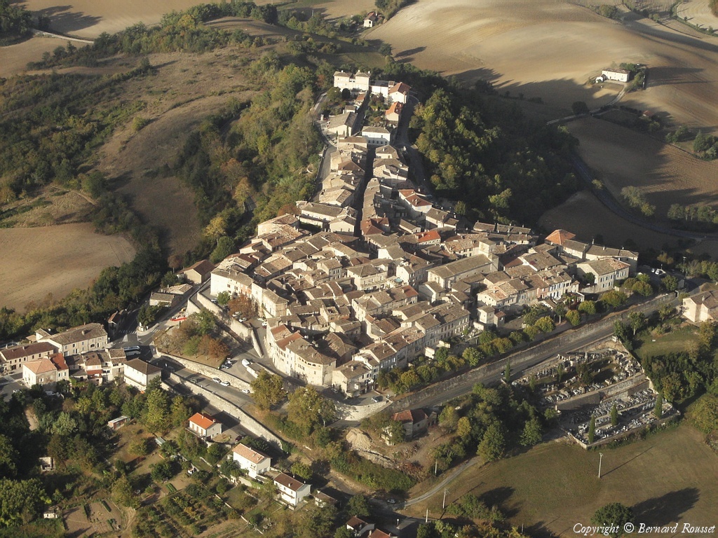
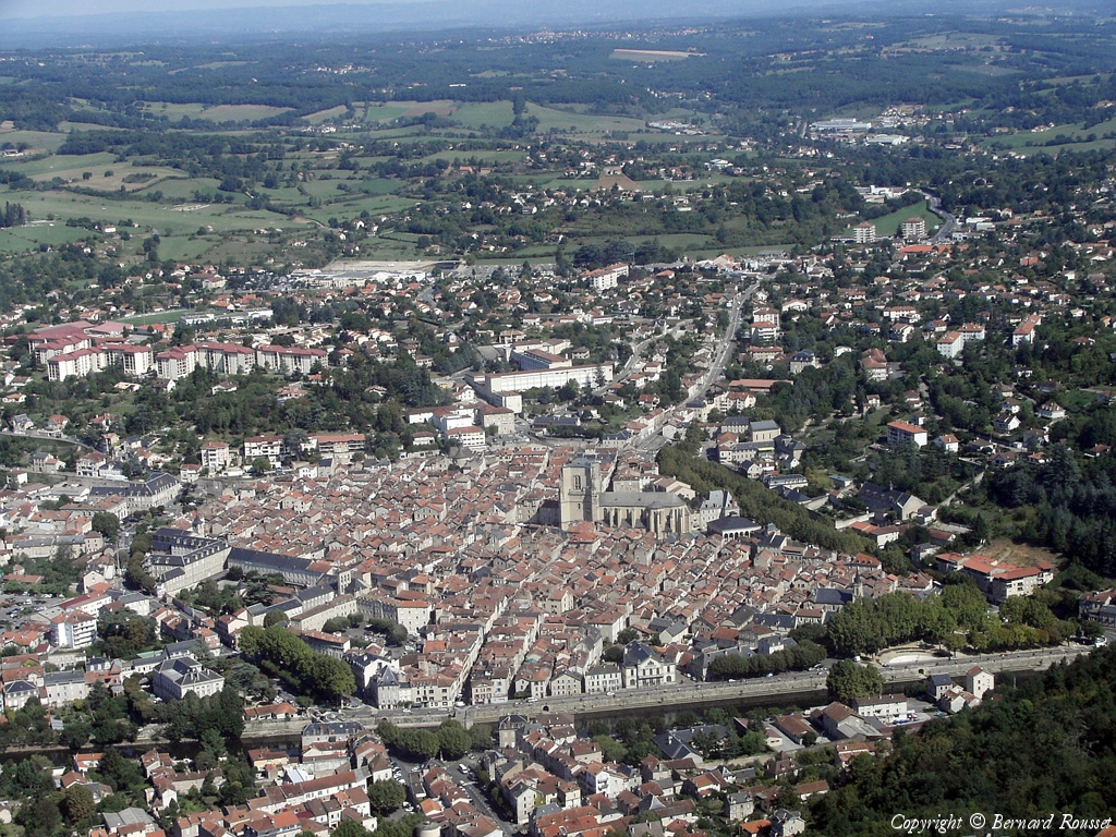
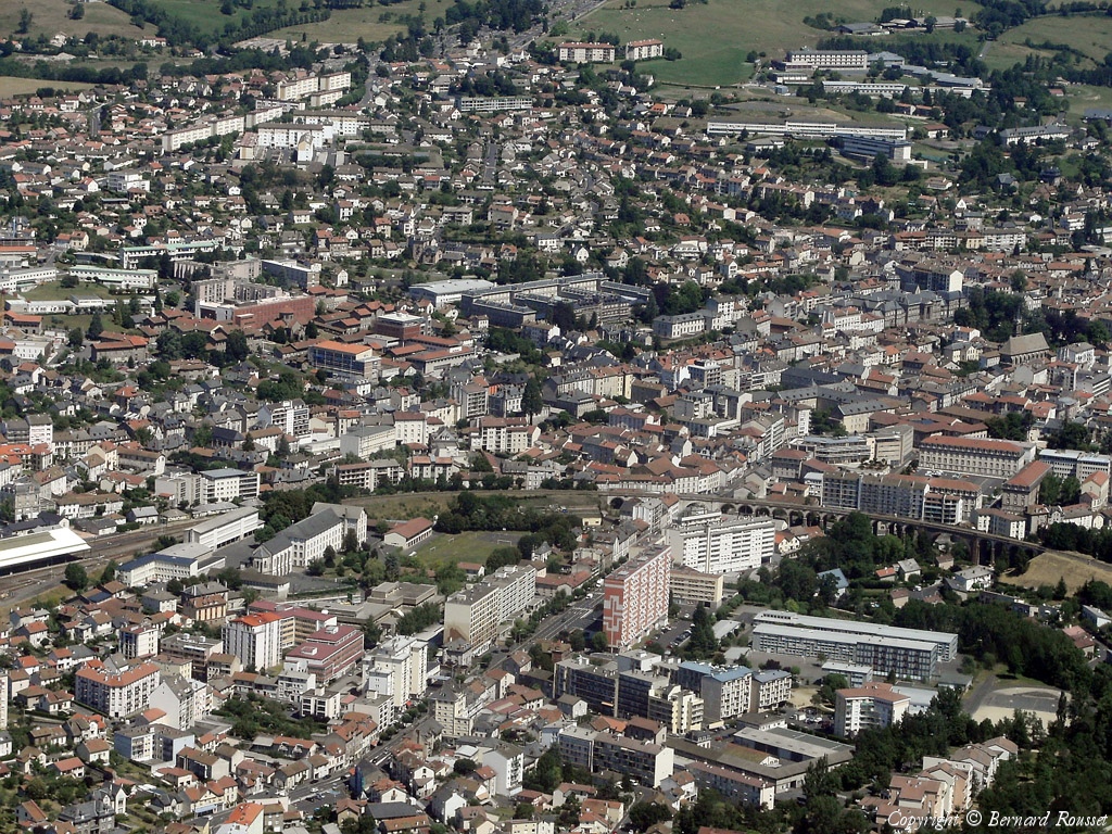
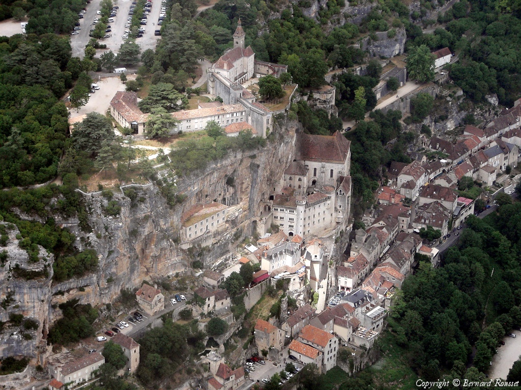
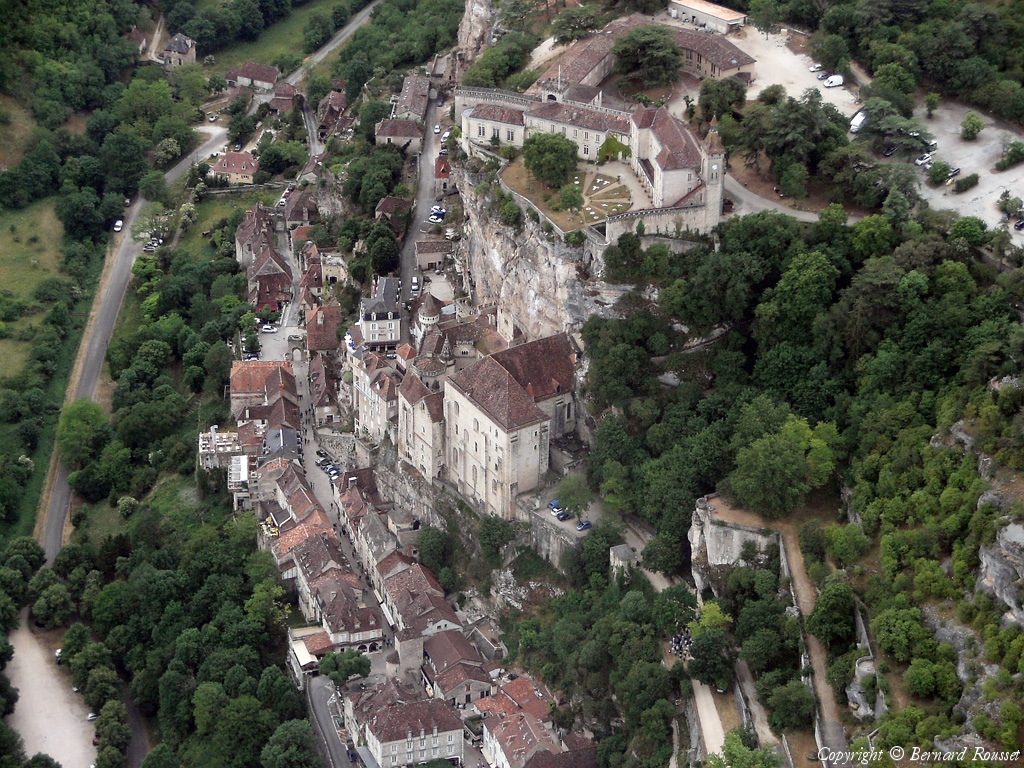
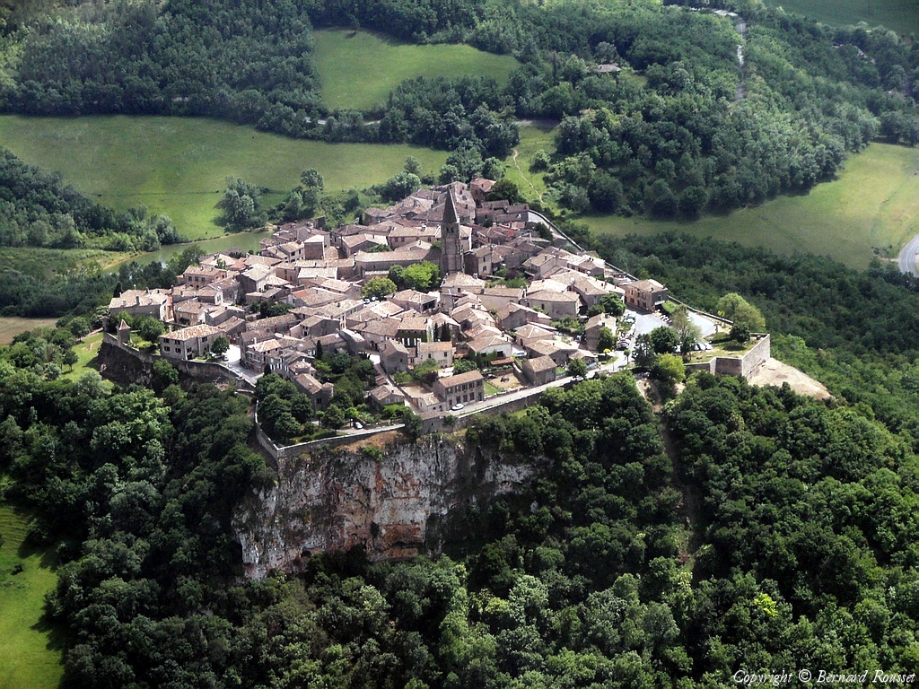
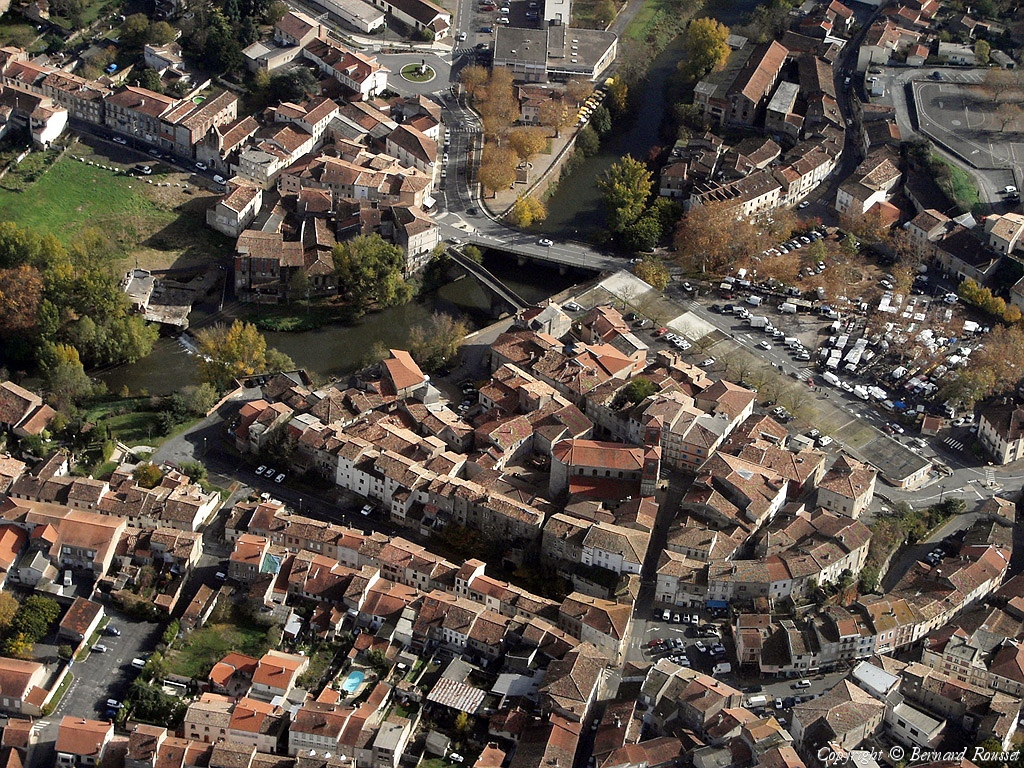
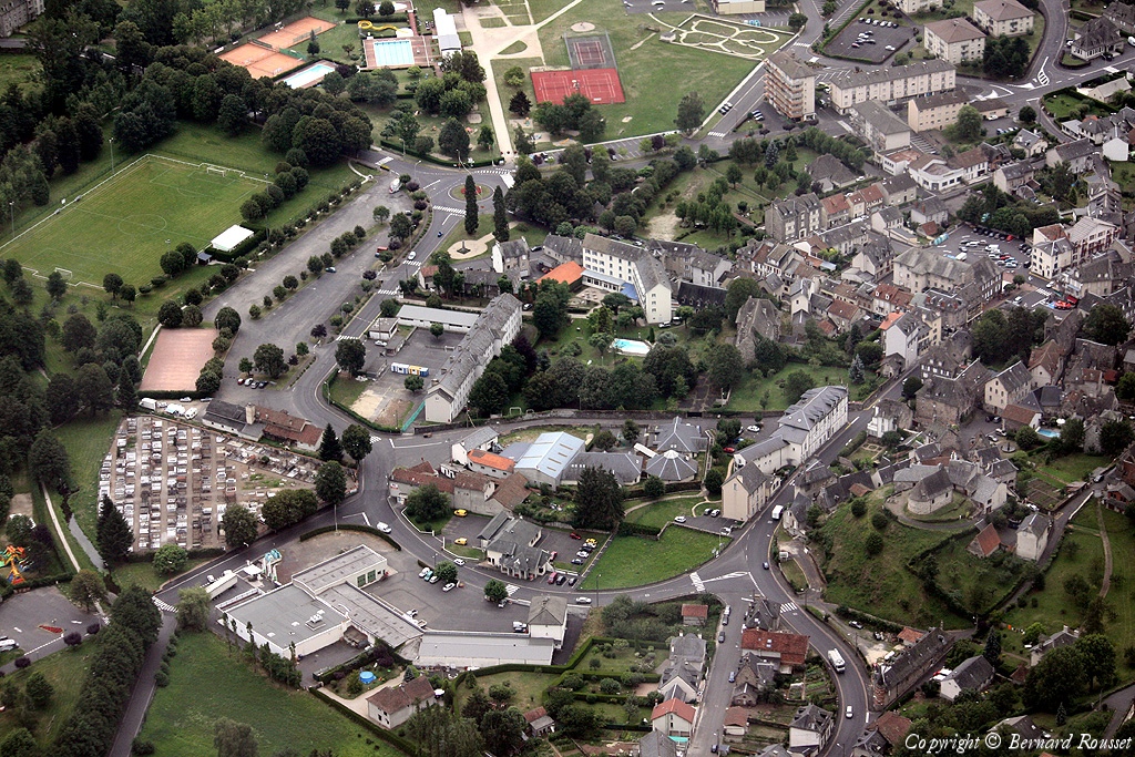
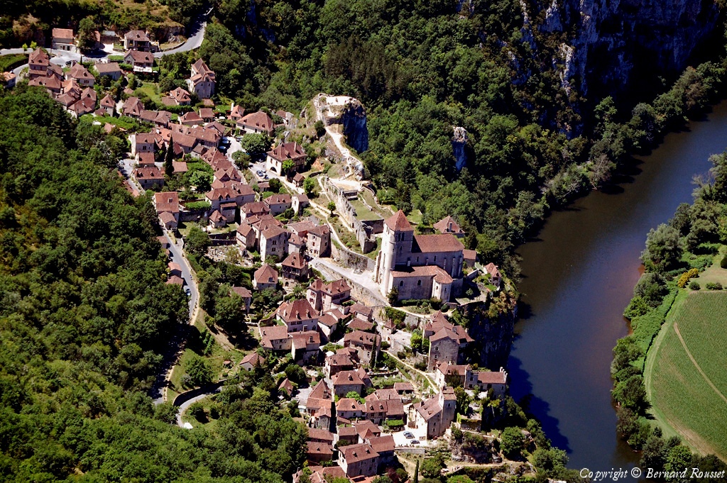
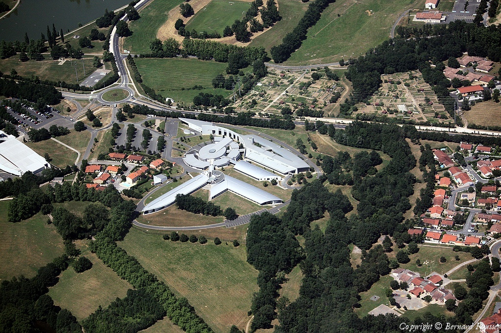
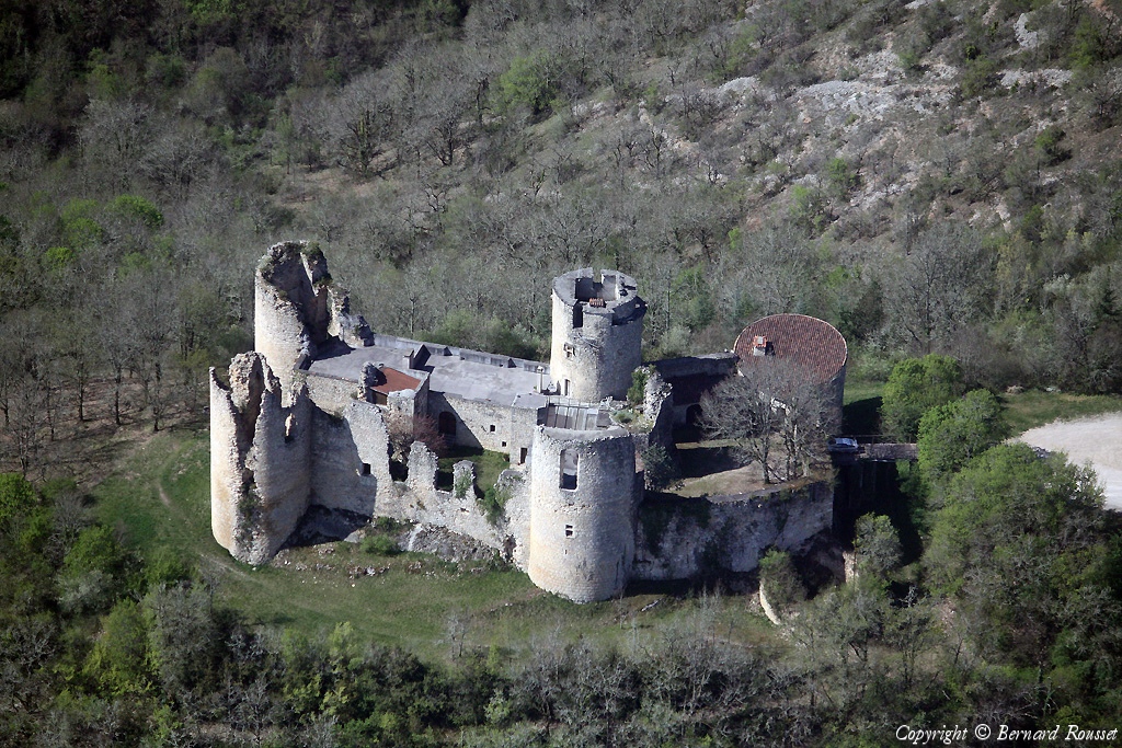
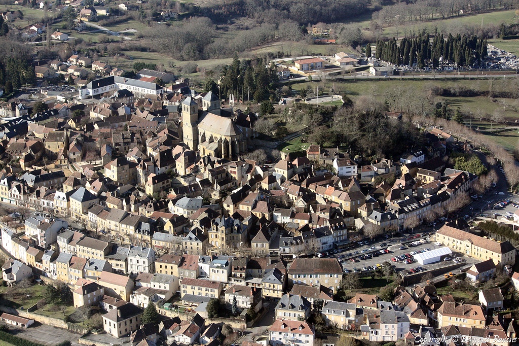
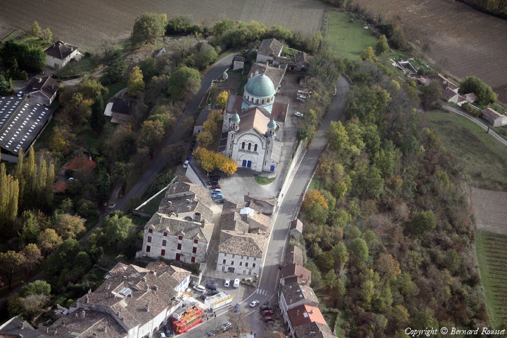
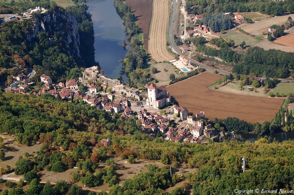
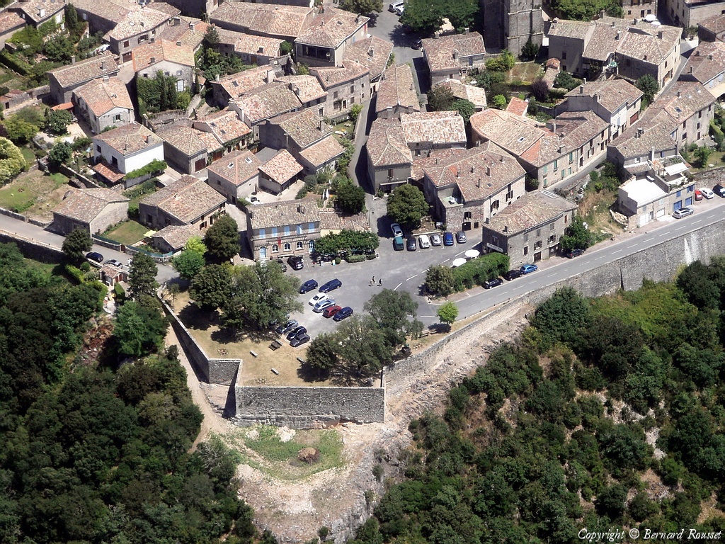
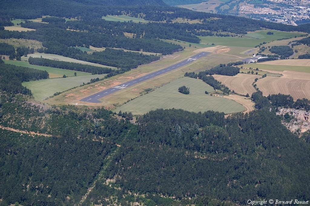
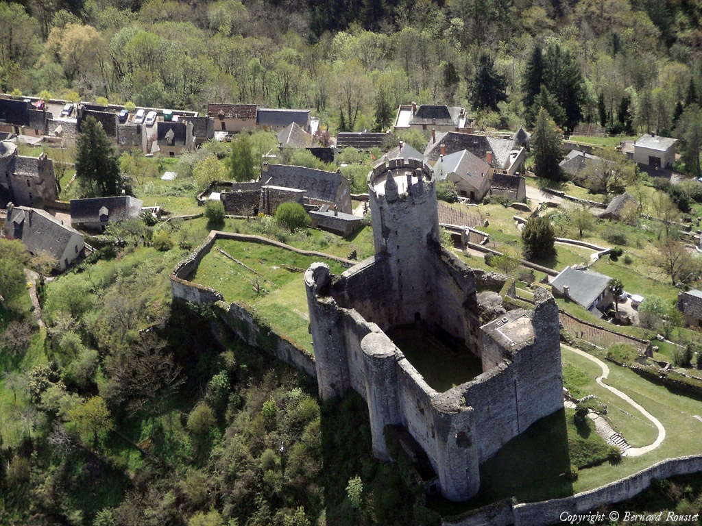
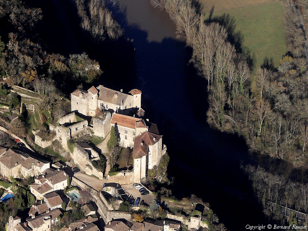
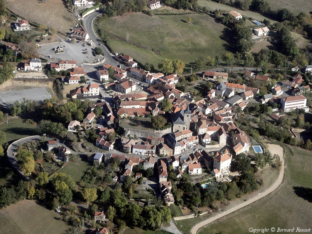
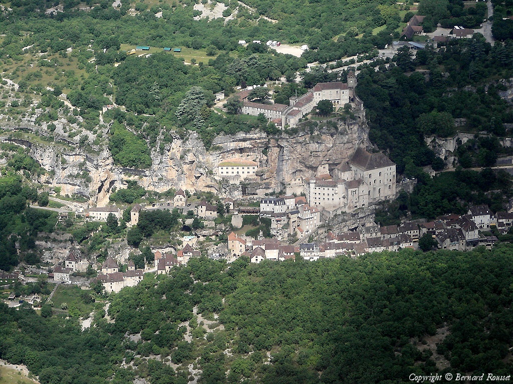
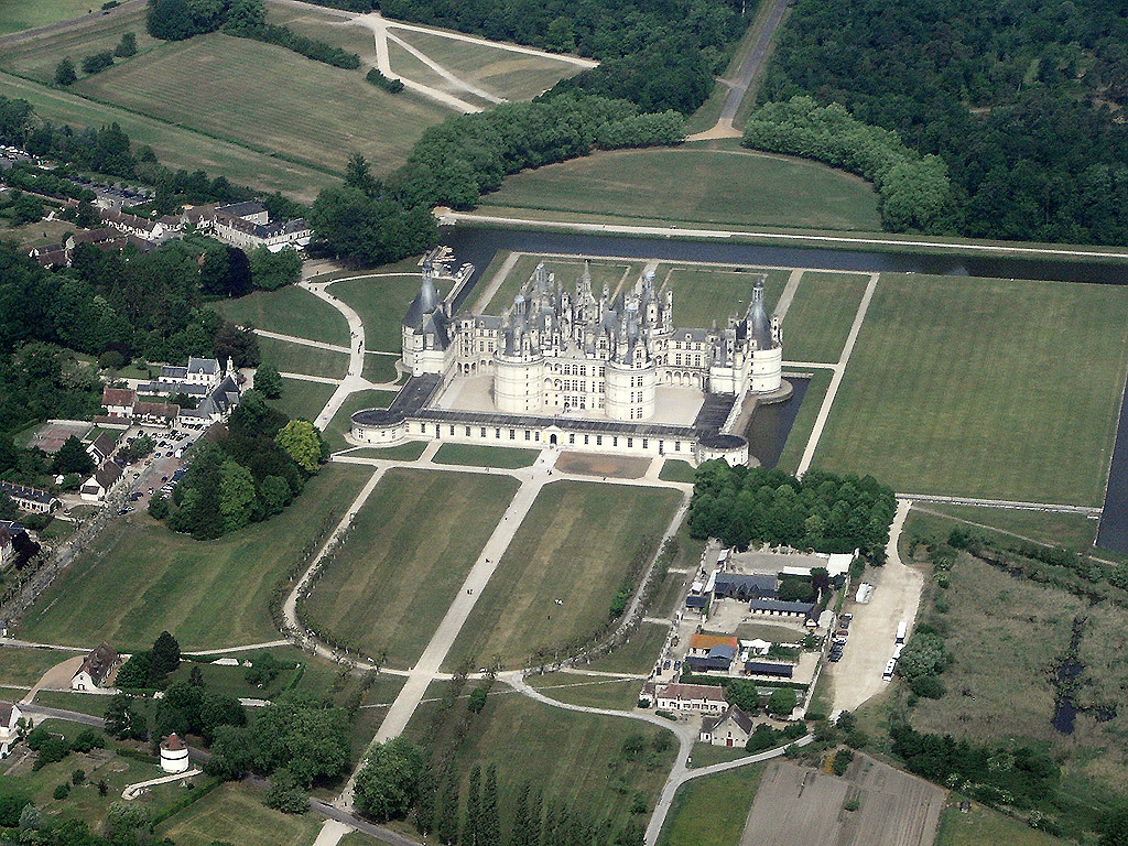
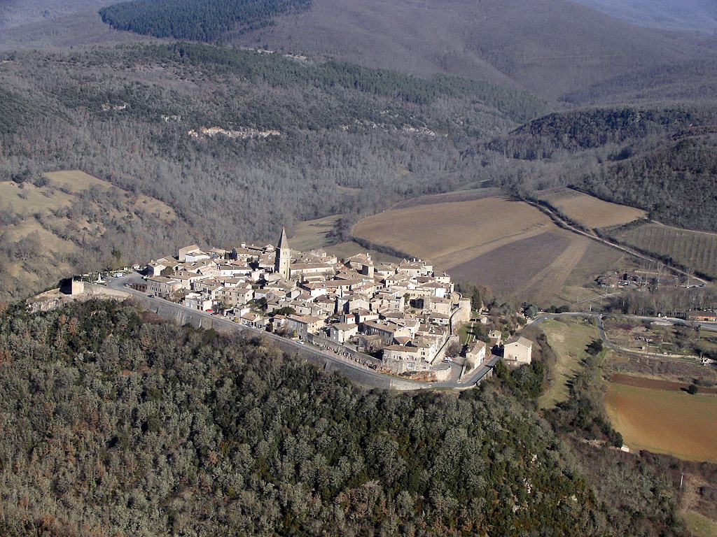
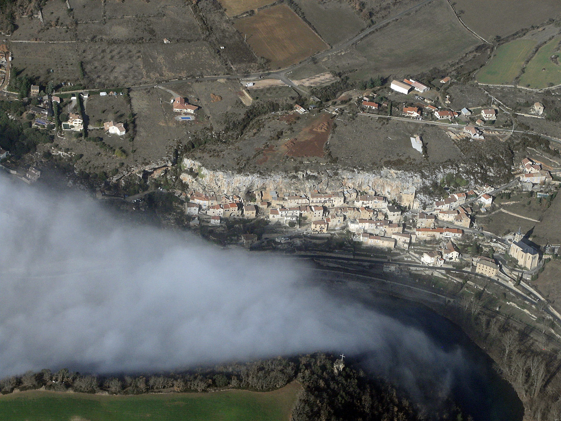
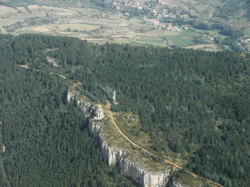
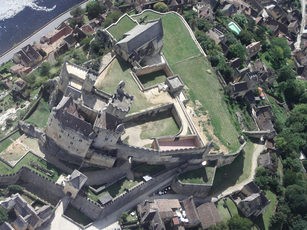
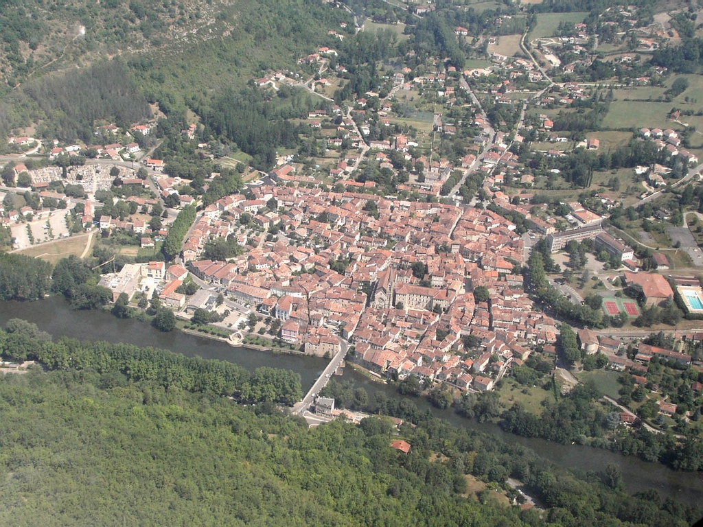
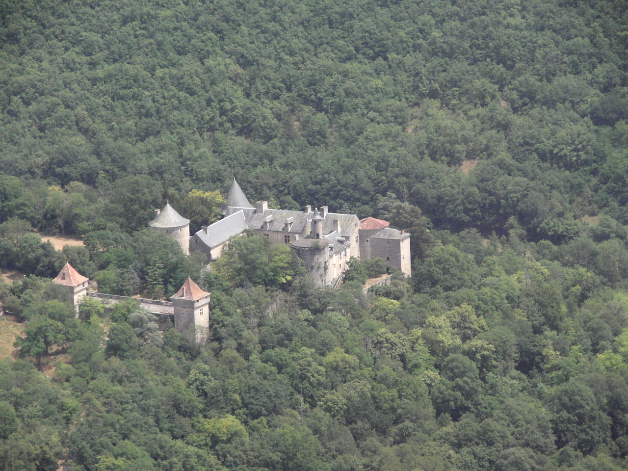
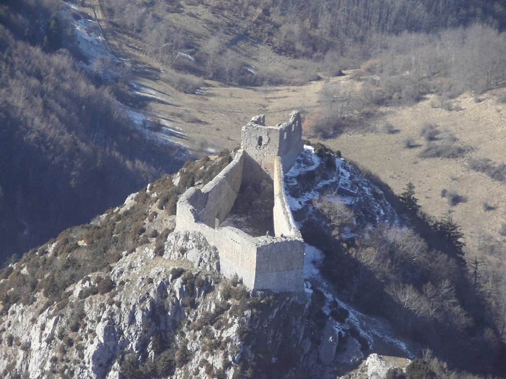
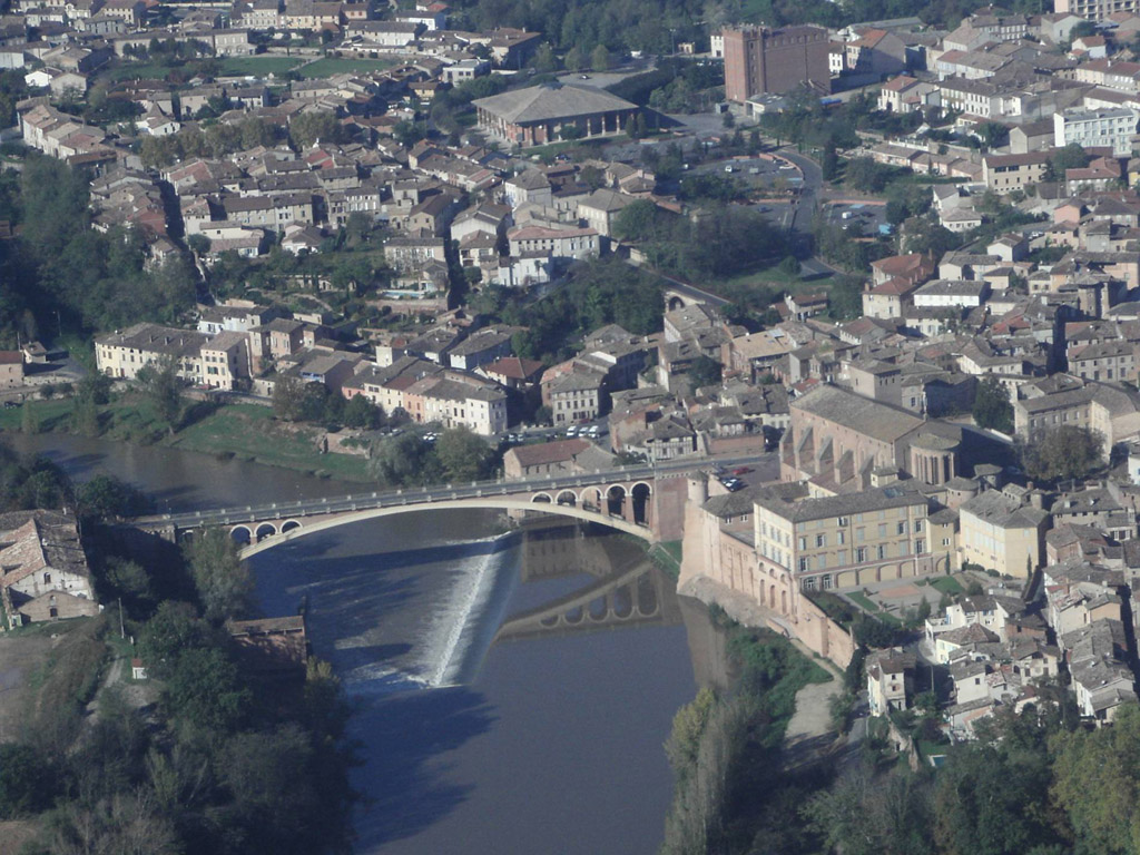
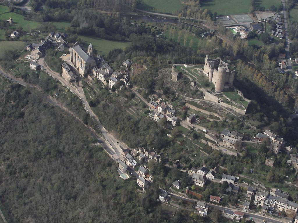
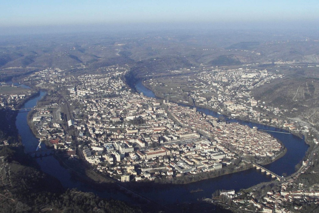
Pays :
France
Département :
Lot (46)
Lieu :
Rocamadour
Coord. GPS :
44 47 55 N 01 36 59 E
Photographe :
Bernard Rousset
Prise le :
22/05/2011
Vue 3051 fois (
0.64 fois/jour
)
Affiner la recherche
-
Situer sur la carte
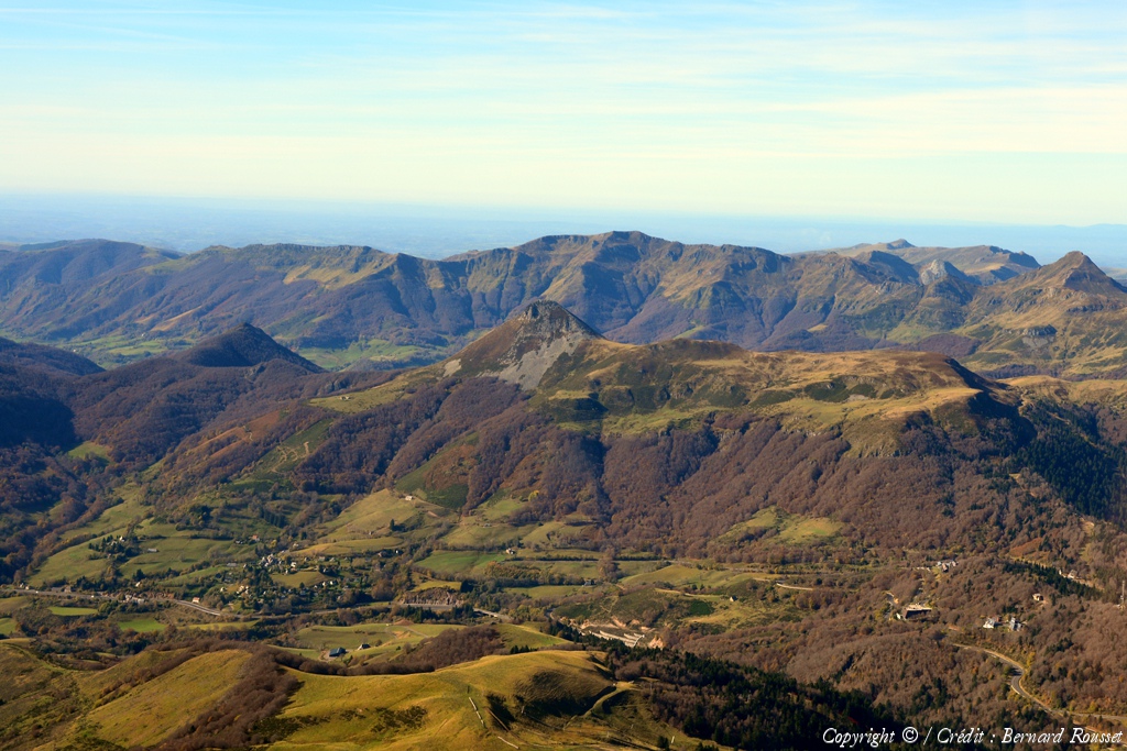
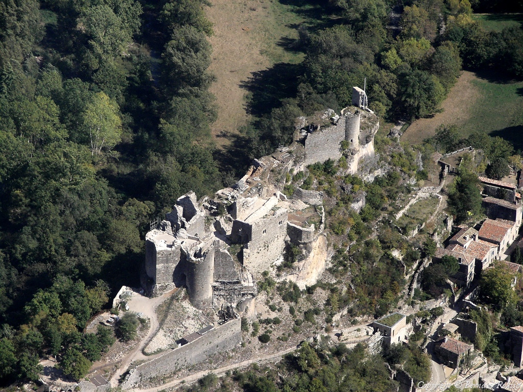
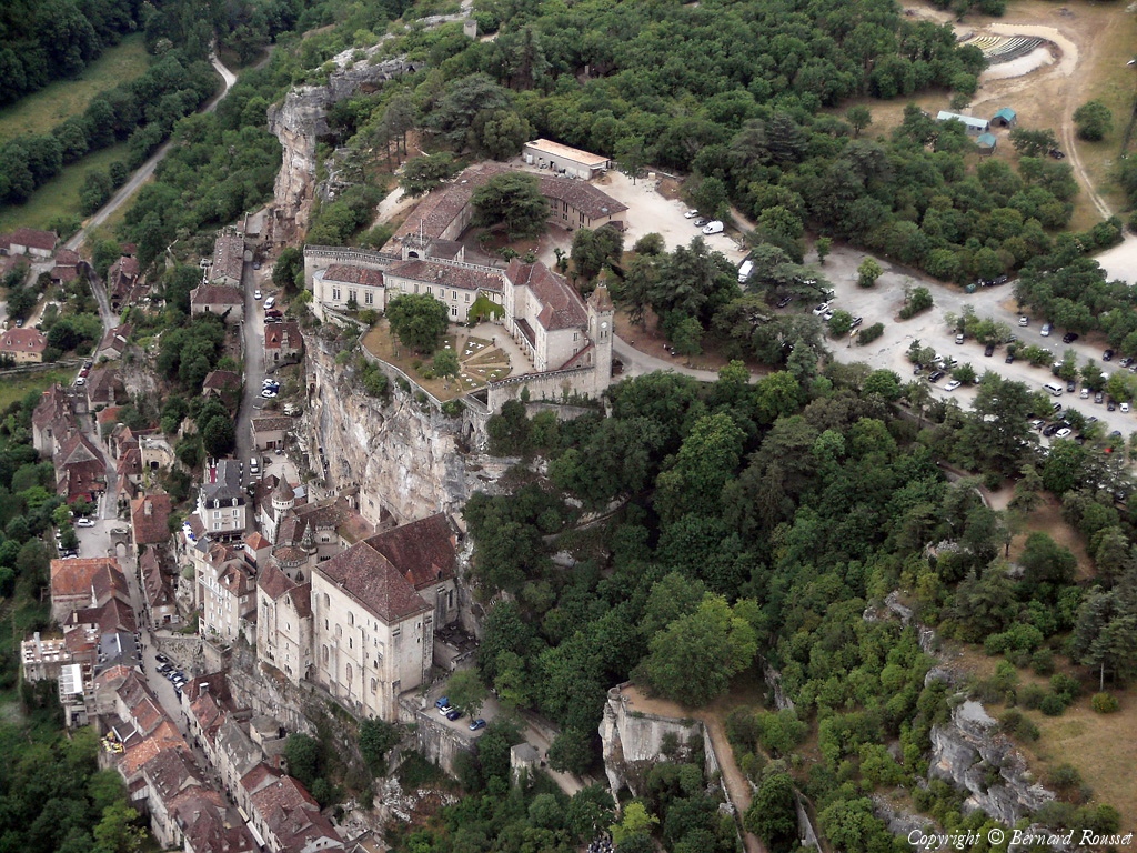
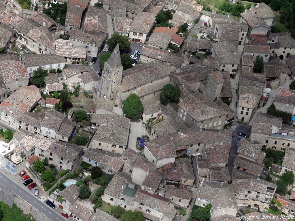
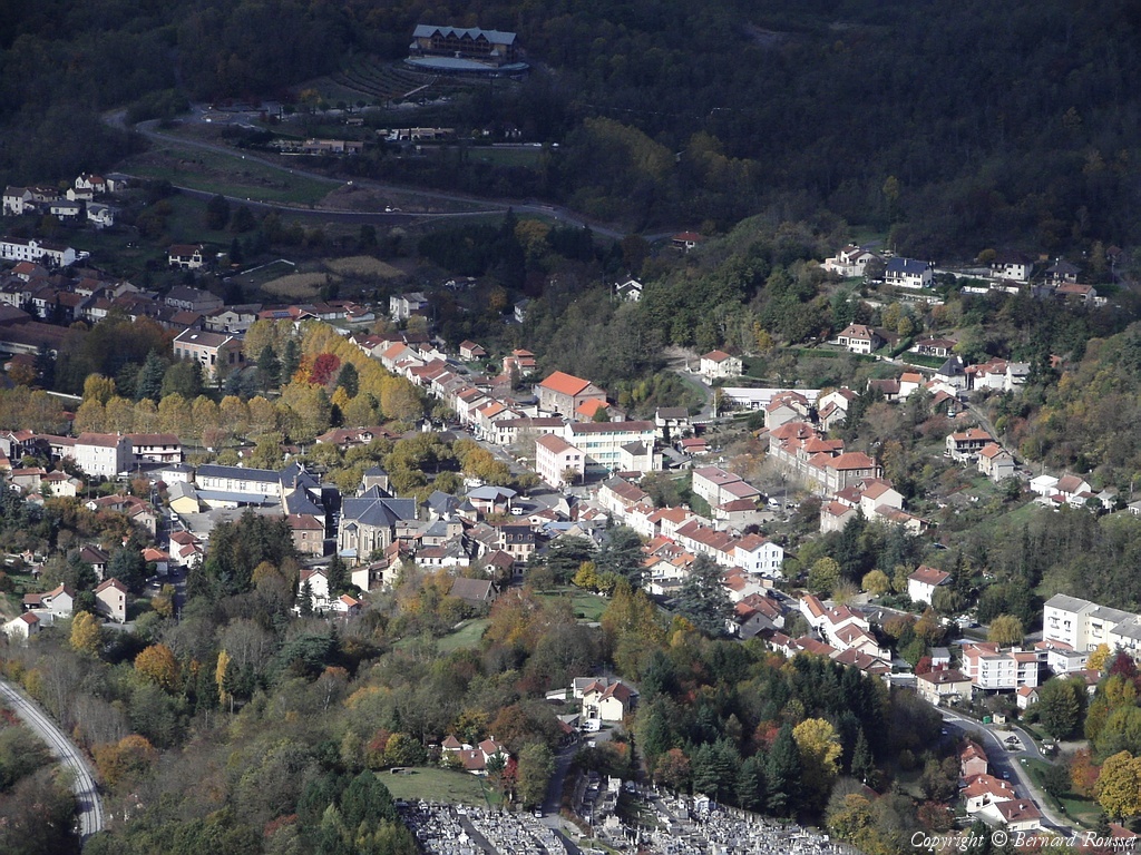
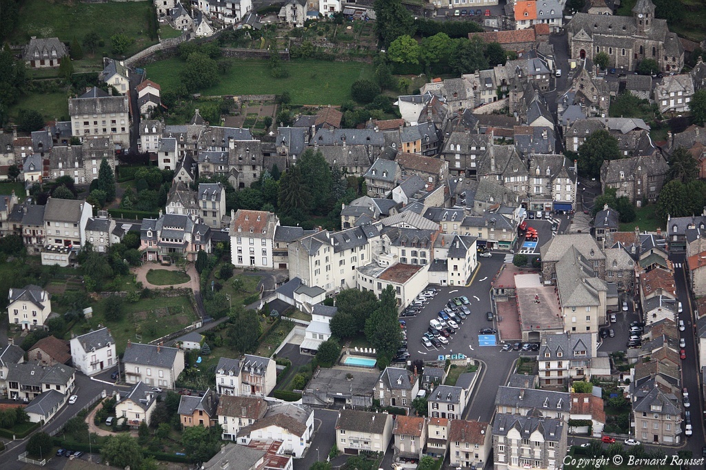
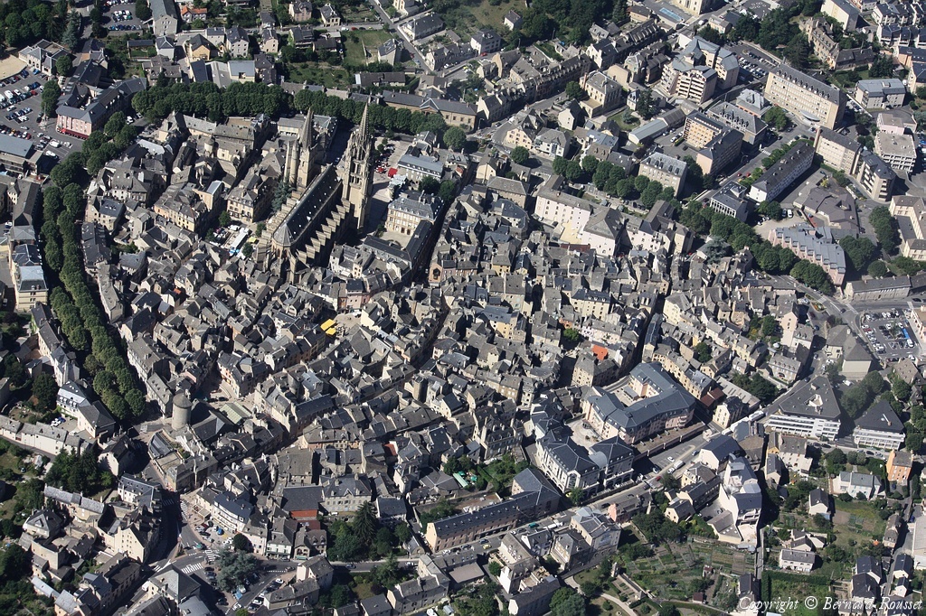
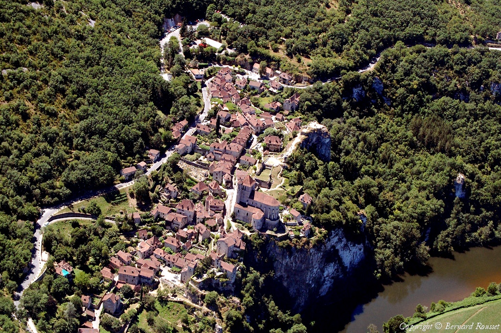
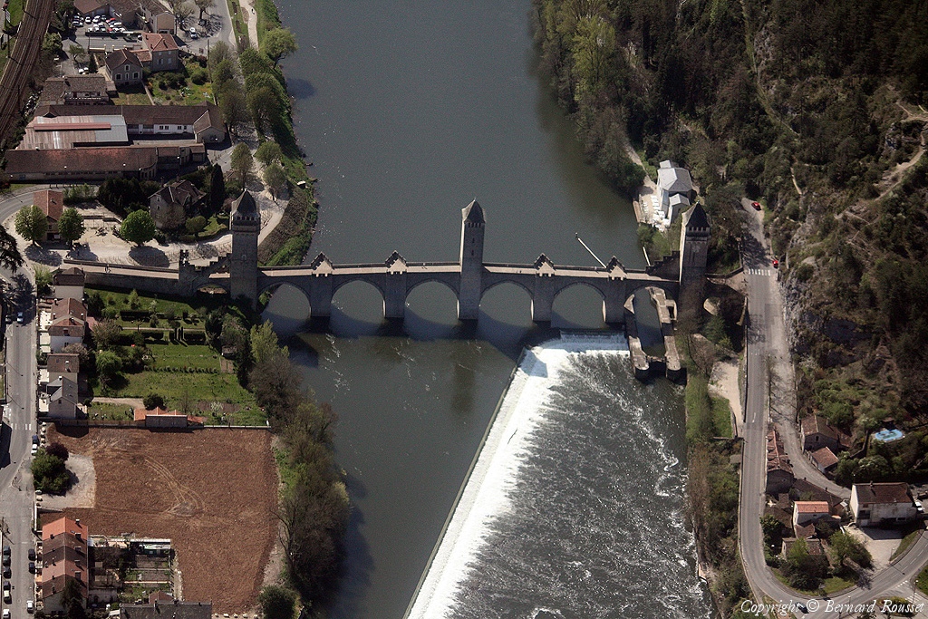
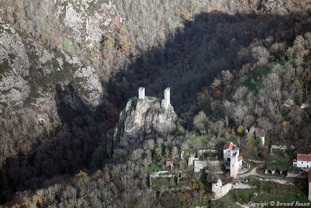
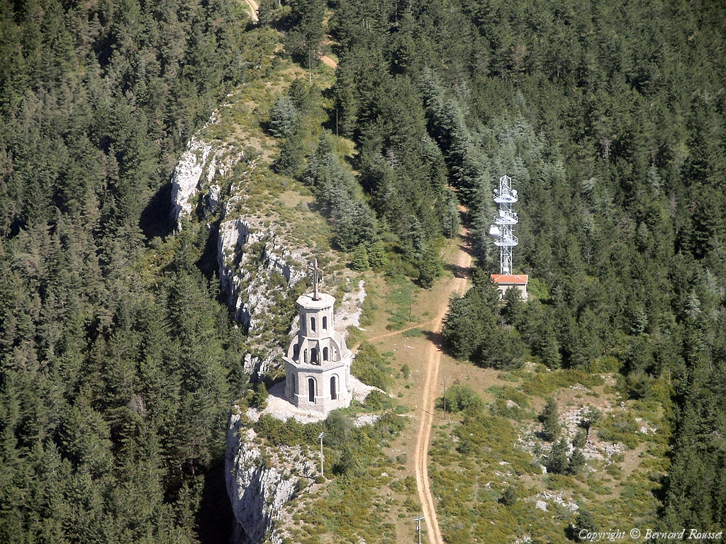
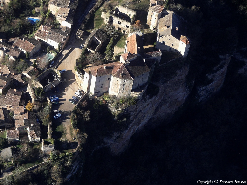
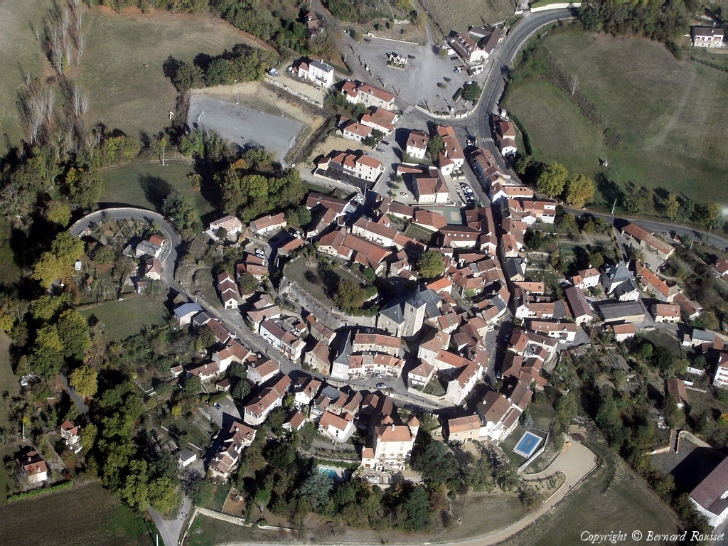
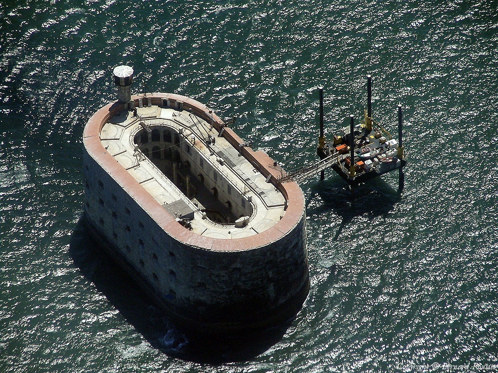
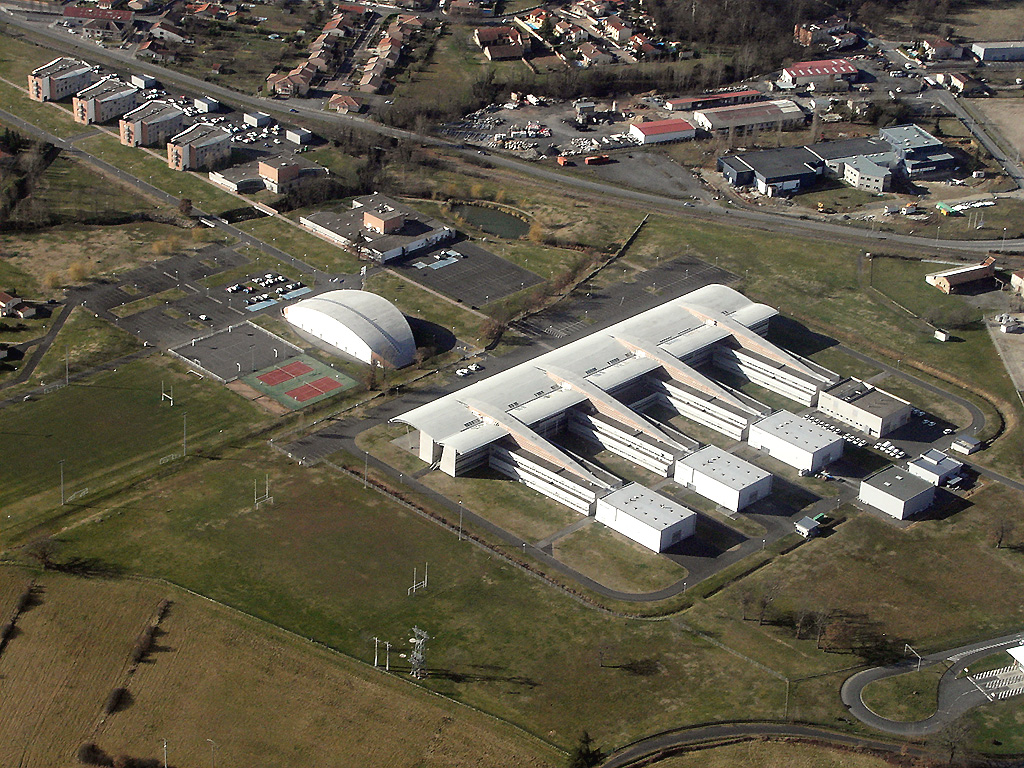
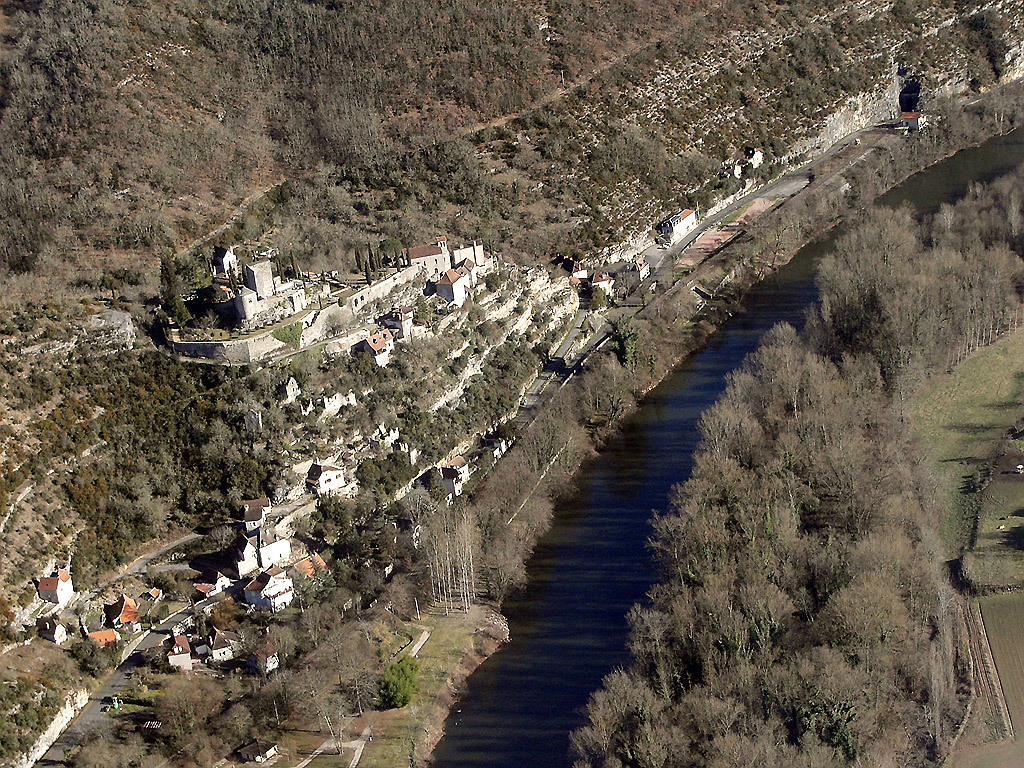
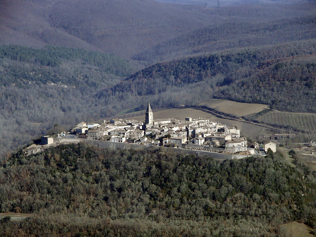
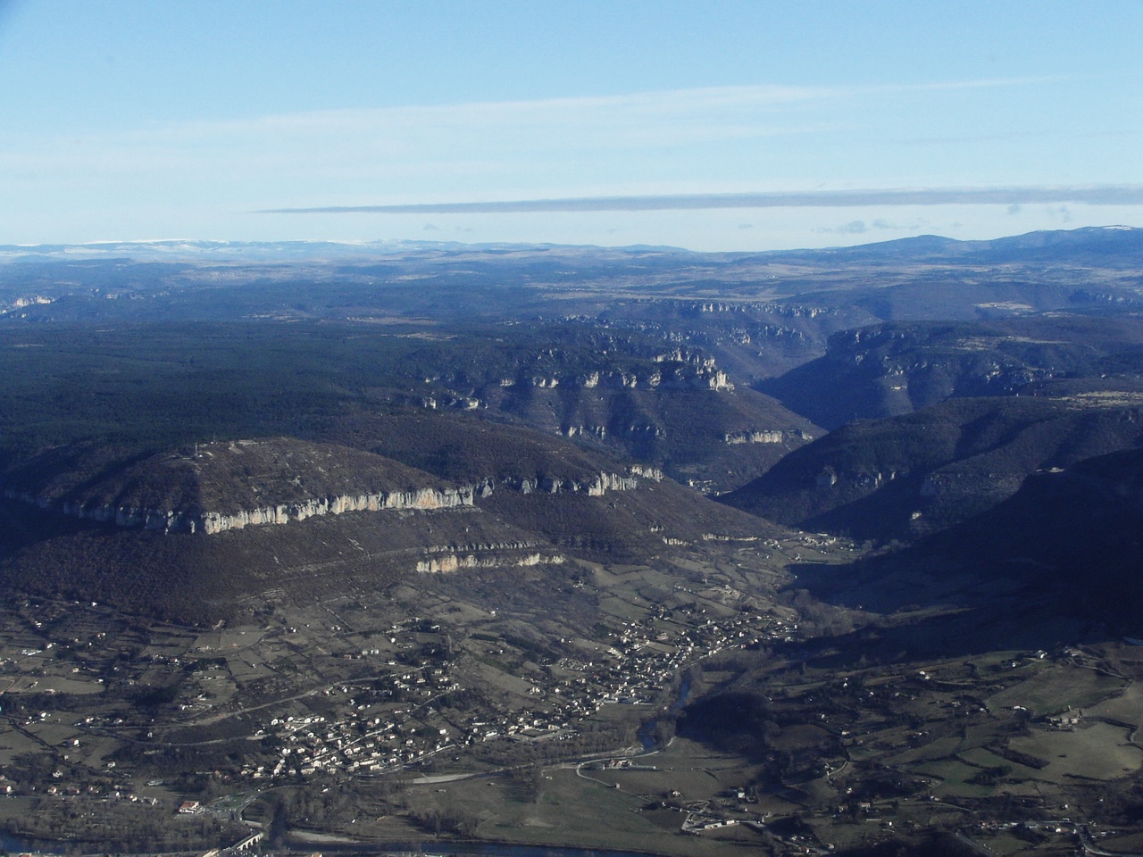
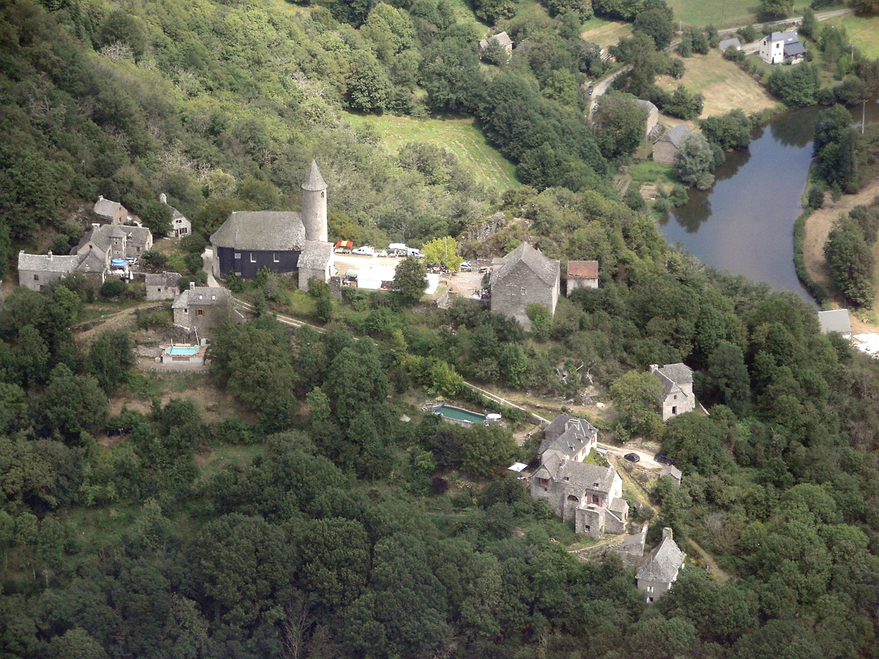
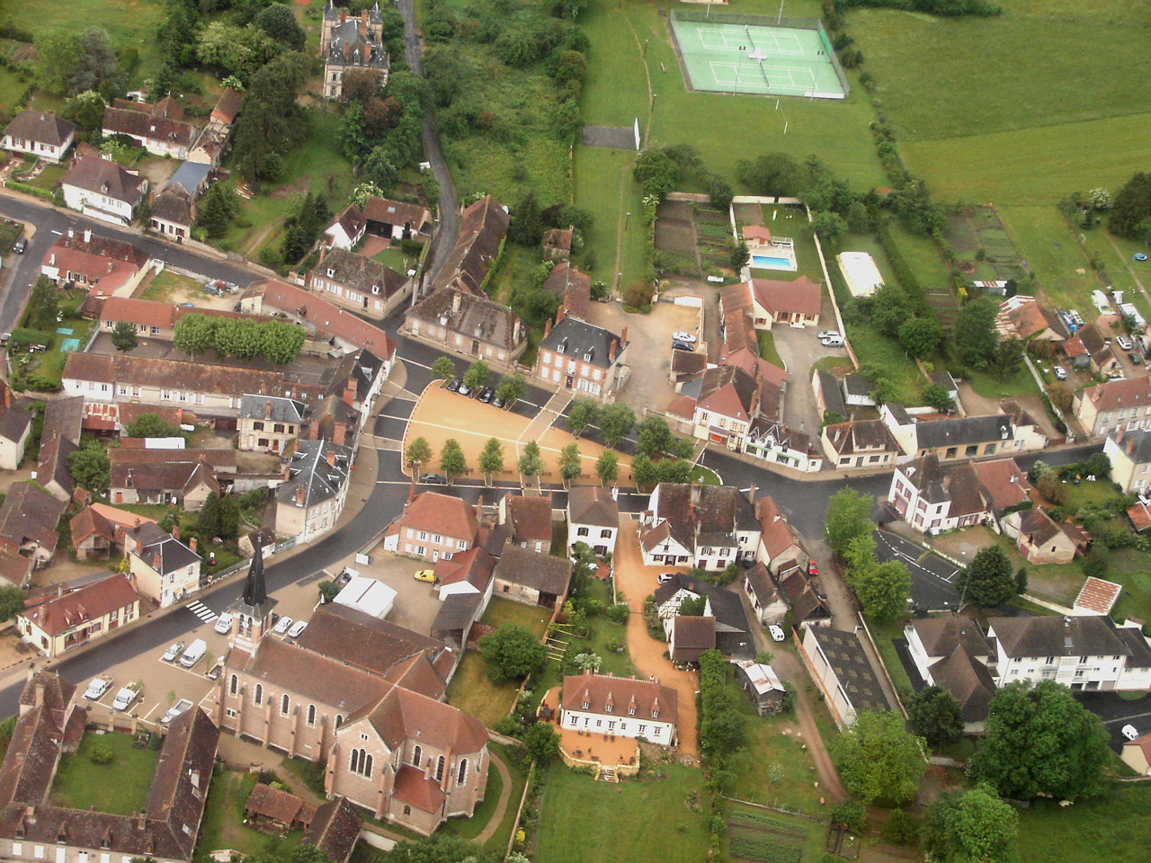
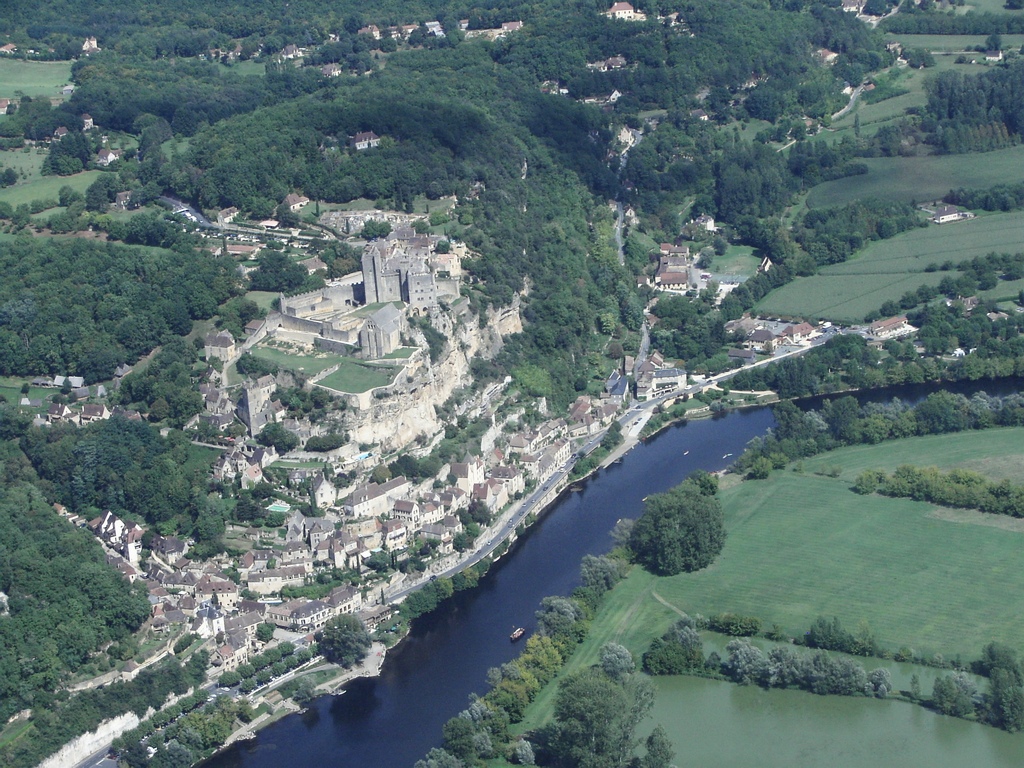
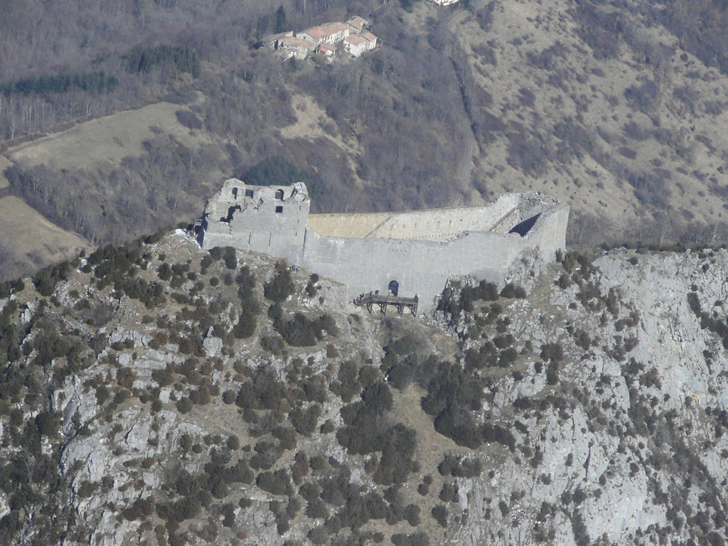
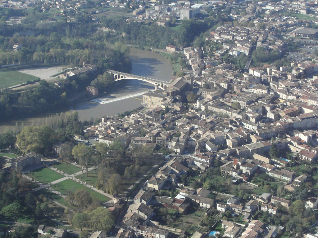
Pays :
France
Département :
Lot (46)
Lieu :
Rocamadour
Coord. GPS :
44 47 55 N 01 36 59 E
Photographe :
Bernard Rousset
Prise le :
22/05/2011
Vue 2952 fois (
0.62 fois/jour
)
Affiner la recherche
-
Situer sur la carte
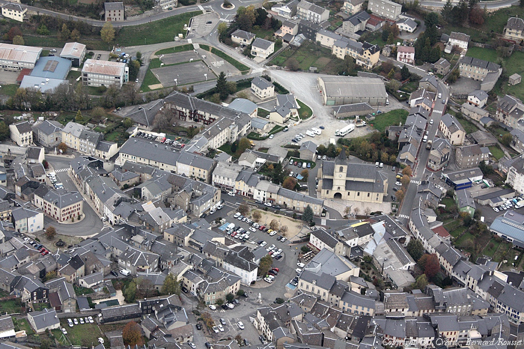
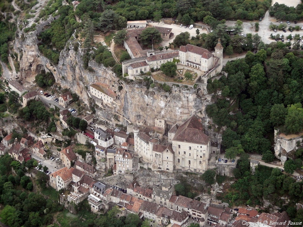
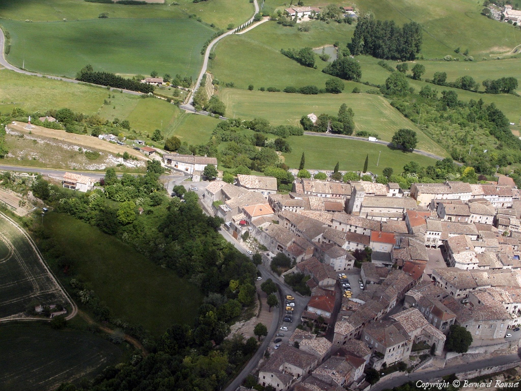
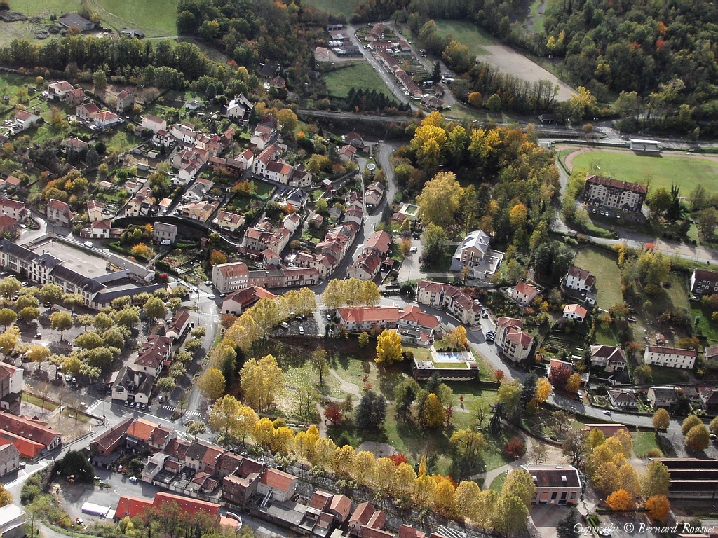
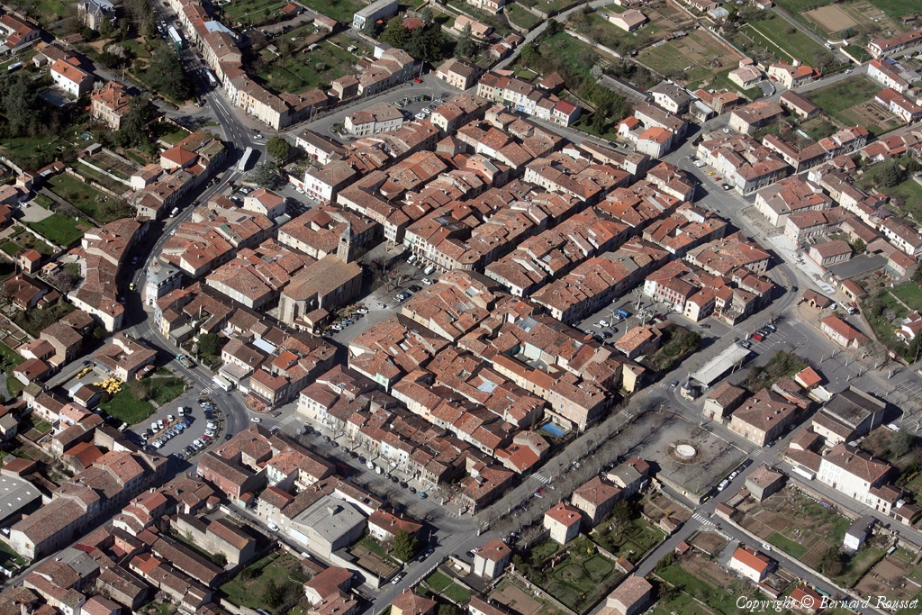
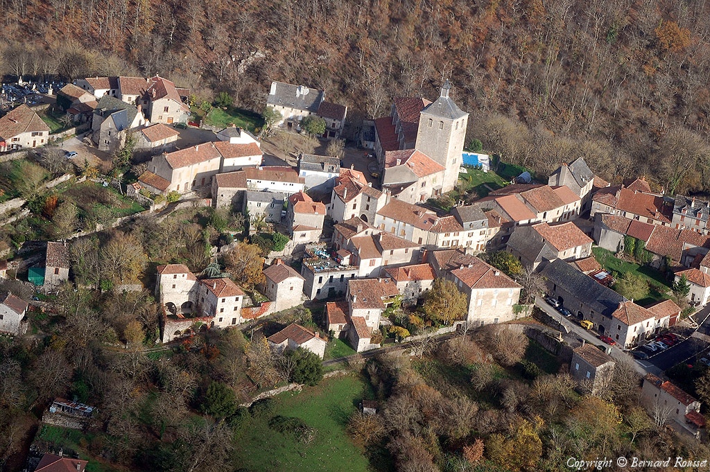
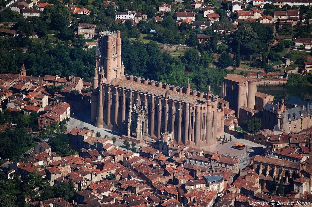
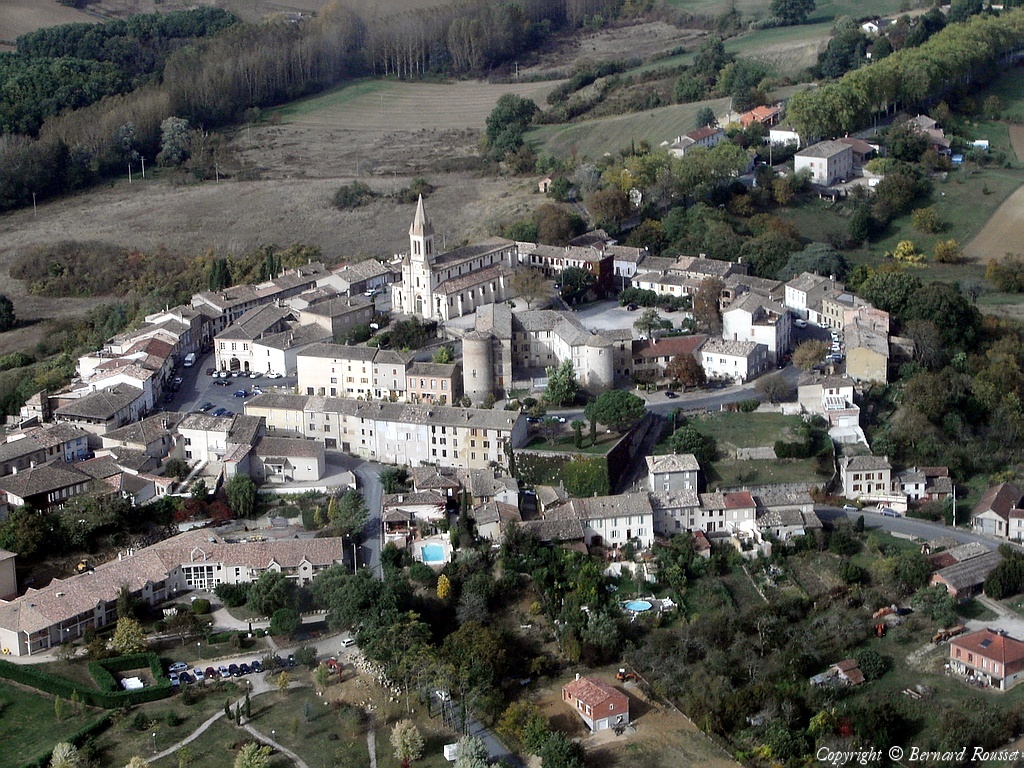
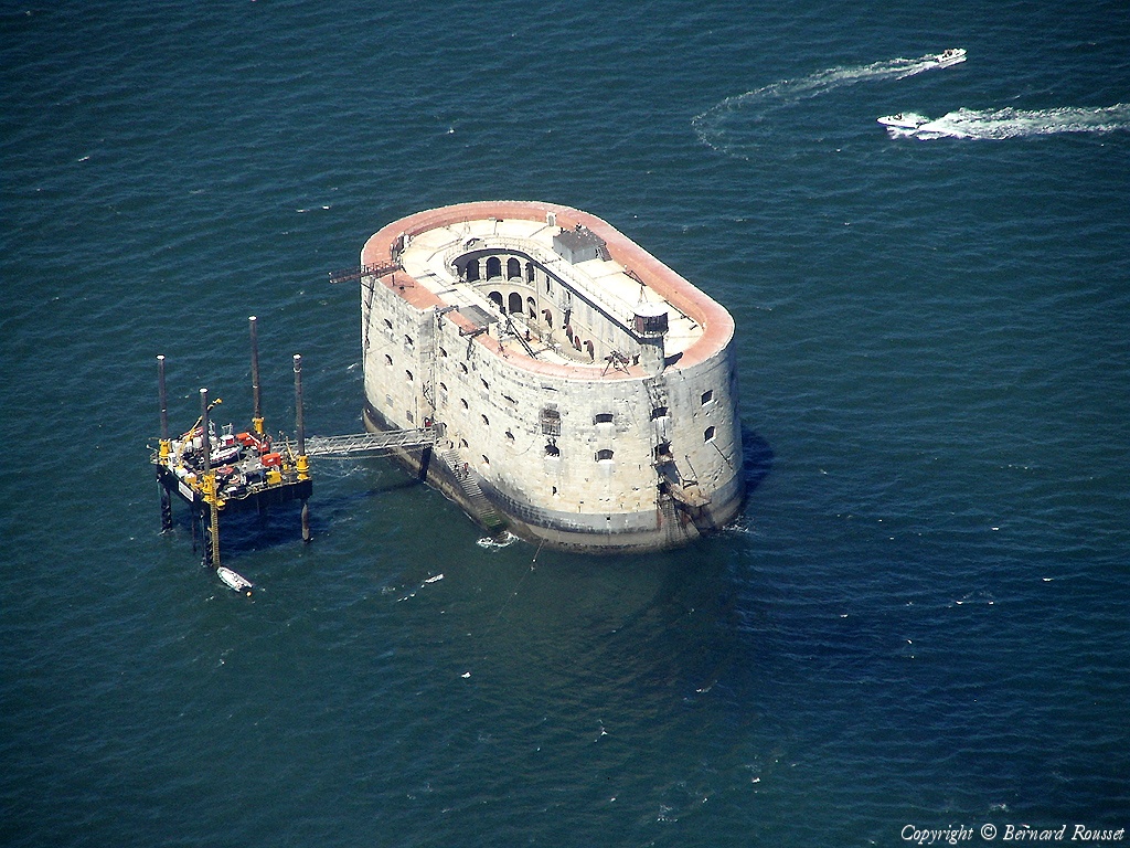
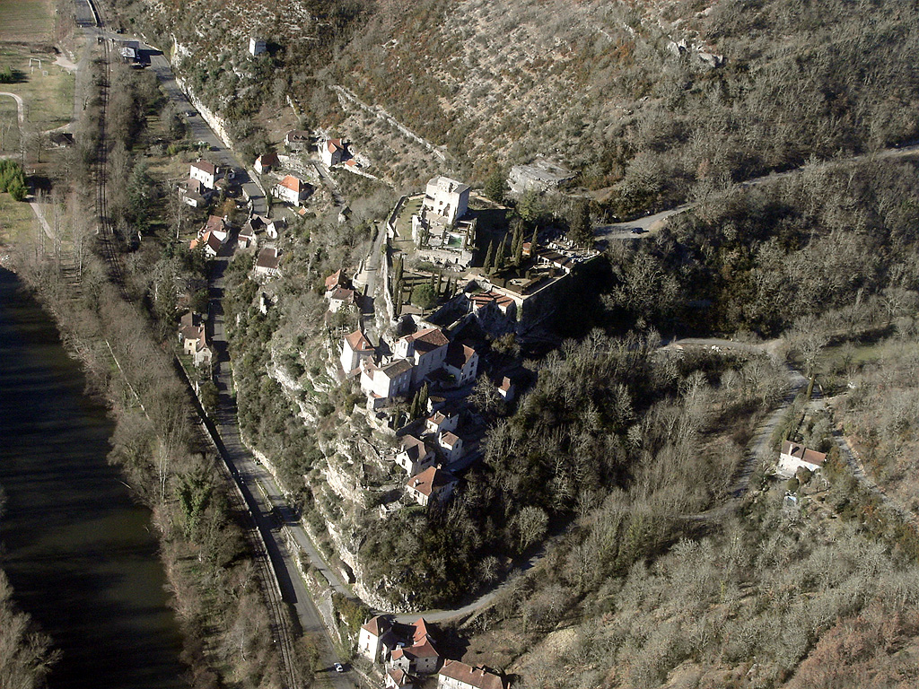
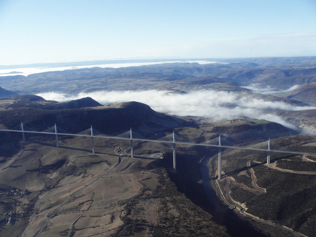
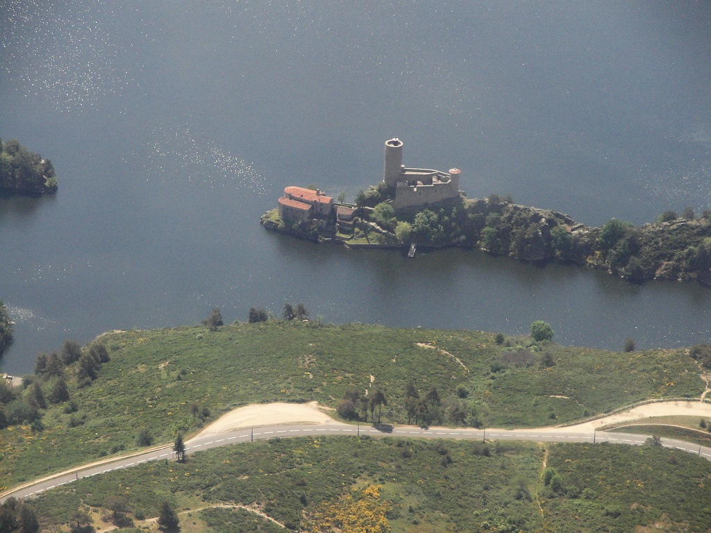
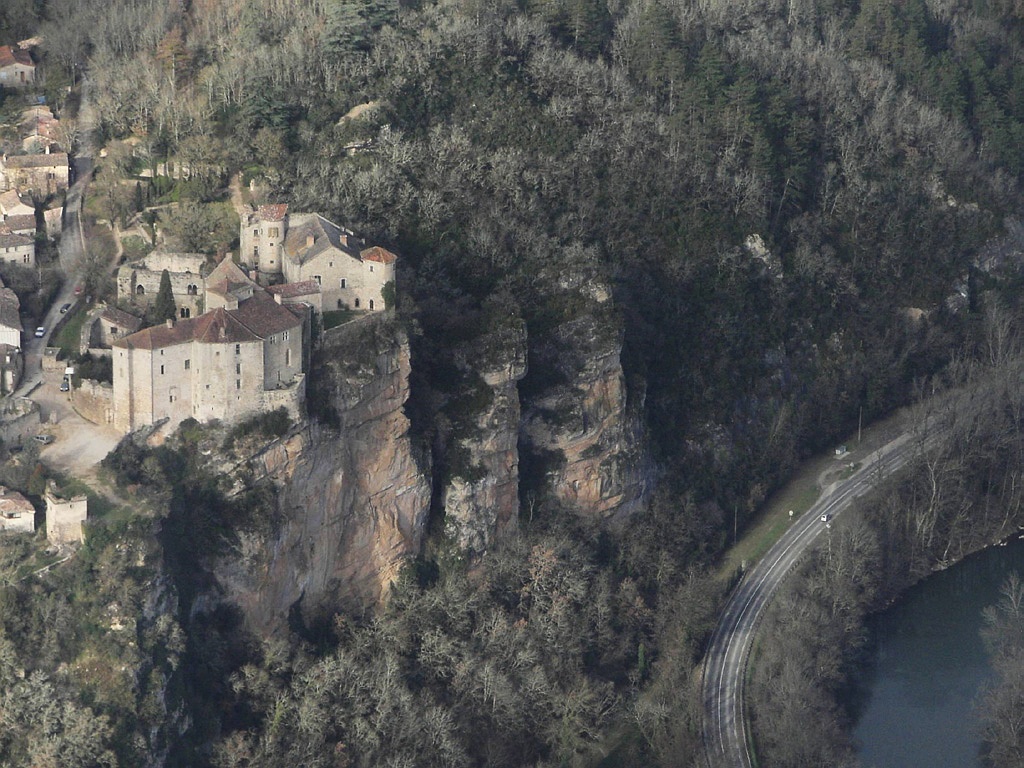
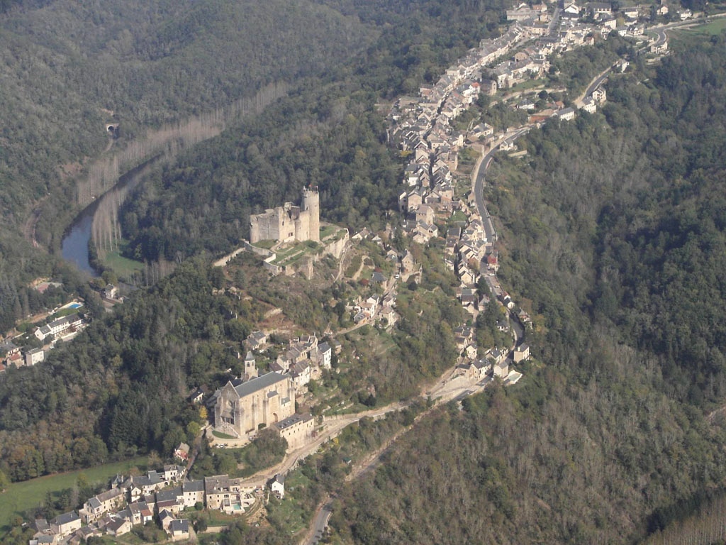
Pays :
France
Département :
Lot (46)
Lieu :
Rocamadour
Coord. GPS :
44 47 55 N 01 36 59 E
Photographe :
Bernard Rousset
Prise le :
22/05/2011
Vue 2478 fois (
0.52 fois/jour
)
Affiner la recherche
-
Situer sur la carte
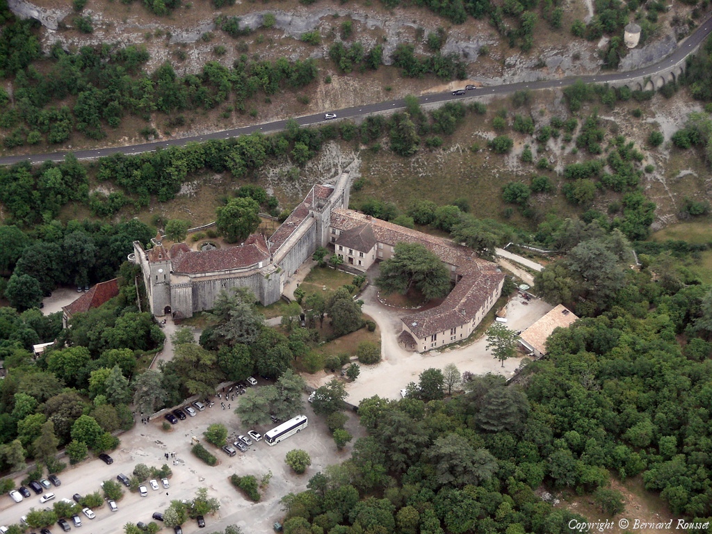
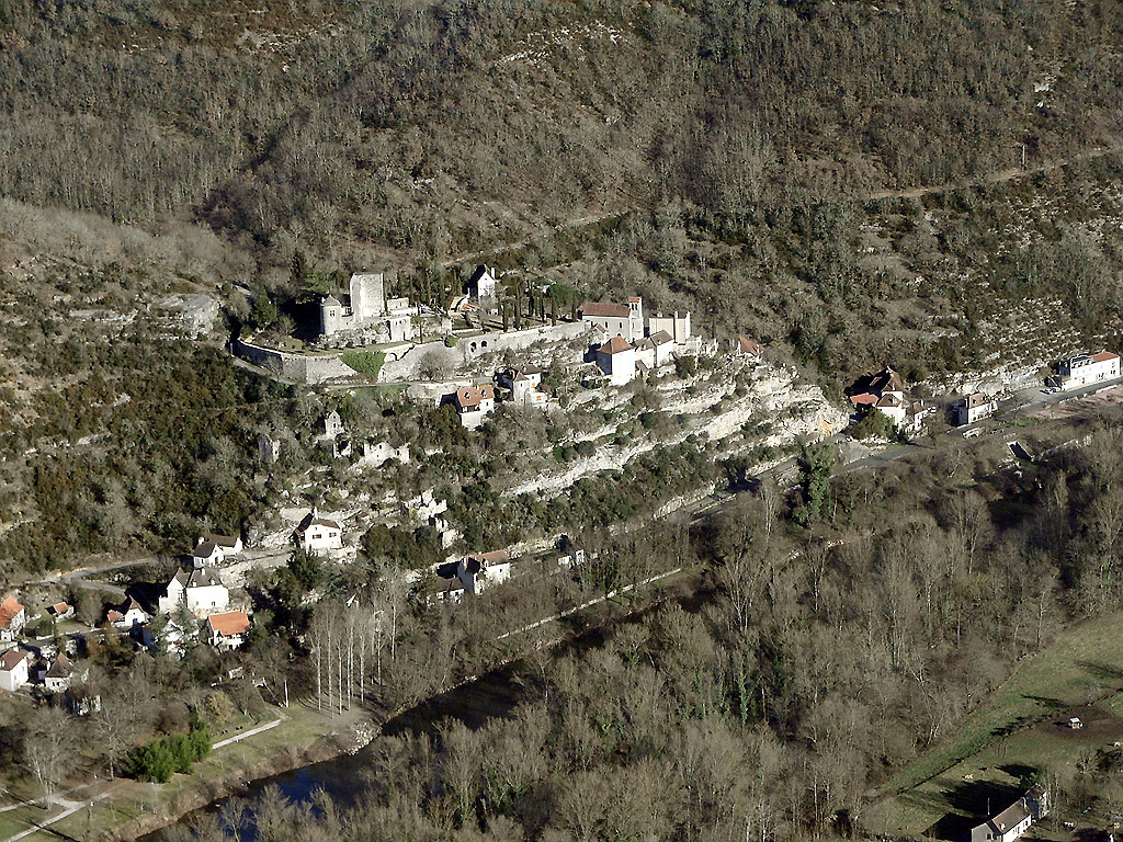
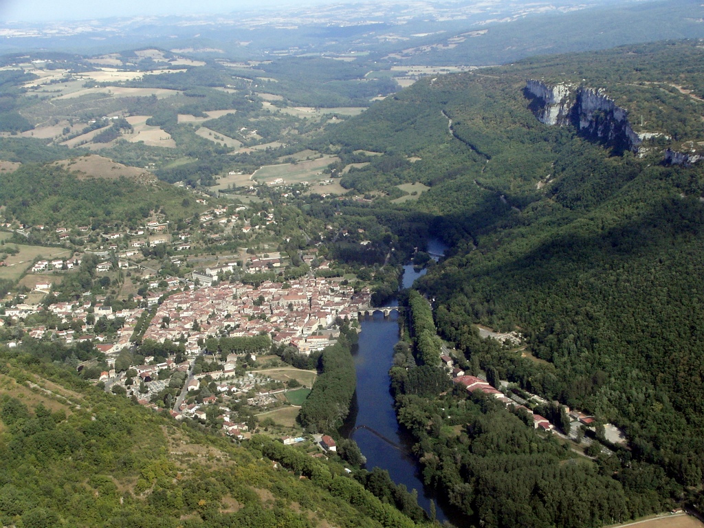
Pays :
France
Département :
Lot (46)
Lieu :
Rocamadour
Coord. GPS :
44 47 55 N 01 36 59 E
Photographe :
Bernard Rousset
Prise le :
22/05/2011
Vue 2609 fois (
0.55 fois/jour
)
Affiner la recherche
-
Situer sur la carte
Pays :
France
Département :
Lot (46)
Lieu :
Rocamadour
Coord. GPS :
44 47 55 N 01 36 59 E
Photographe :
Bernard Rousset
Prise le :
22/05/2011
Vue 2269 fois (
0.48 fois/jour
)
Affiner la recherche
-
Situer sur la carte
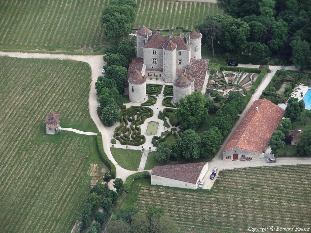
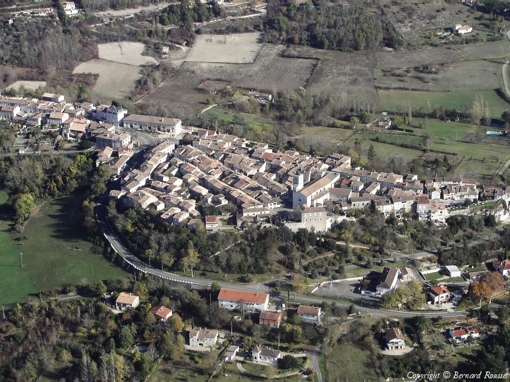
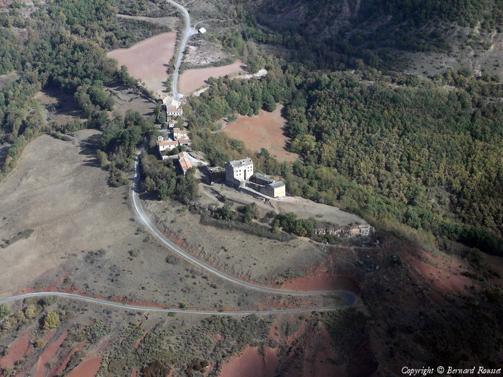
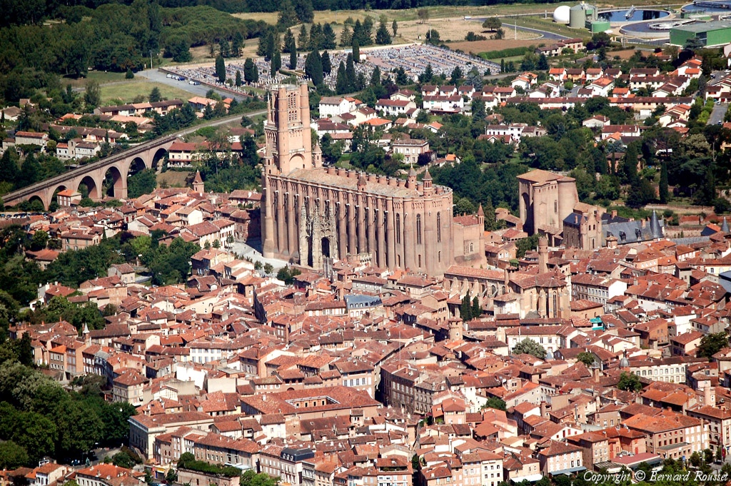
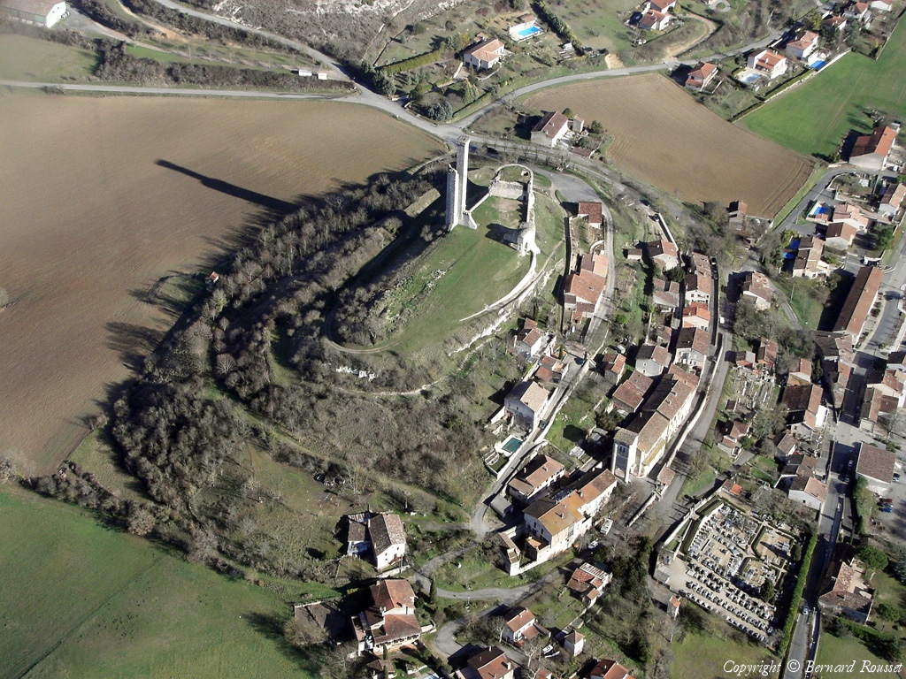
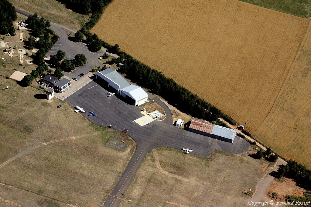
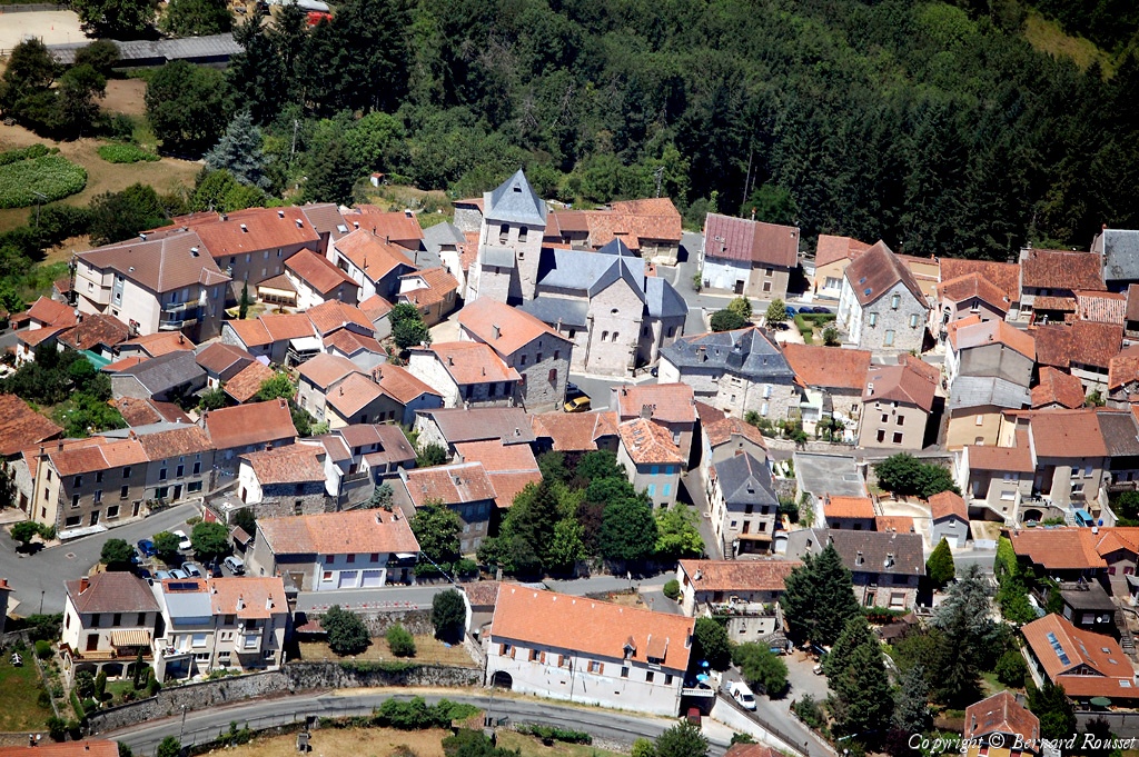
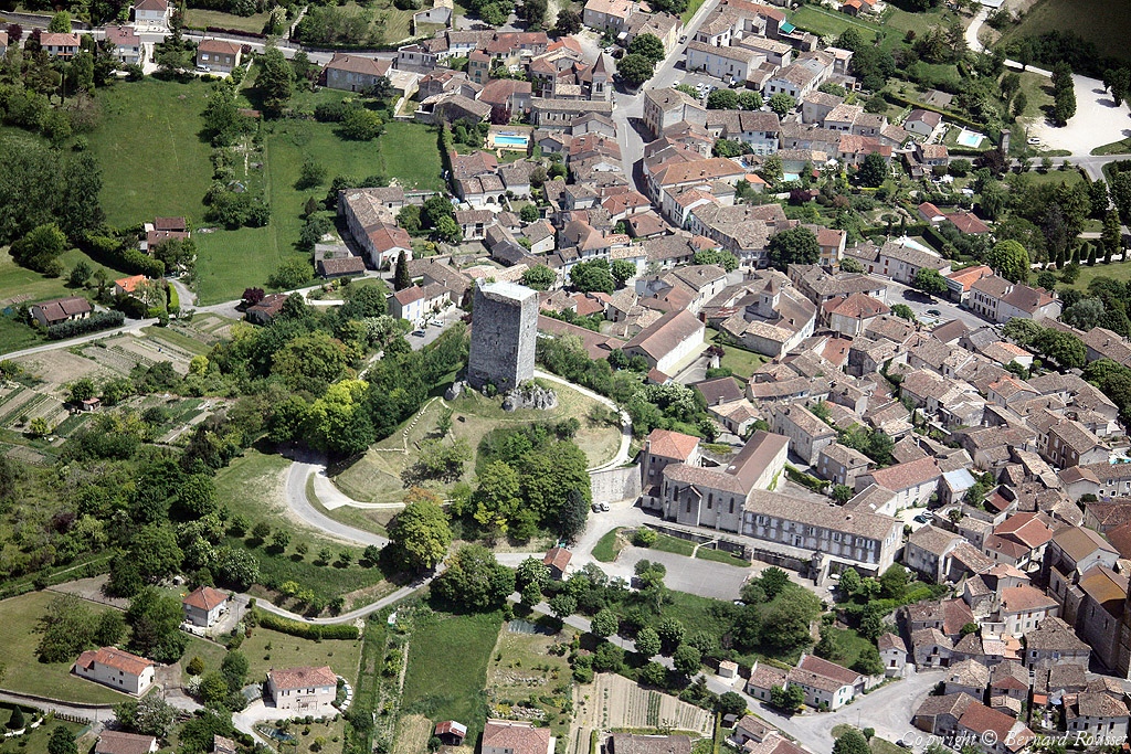
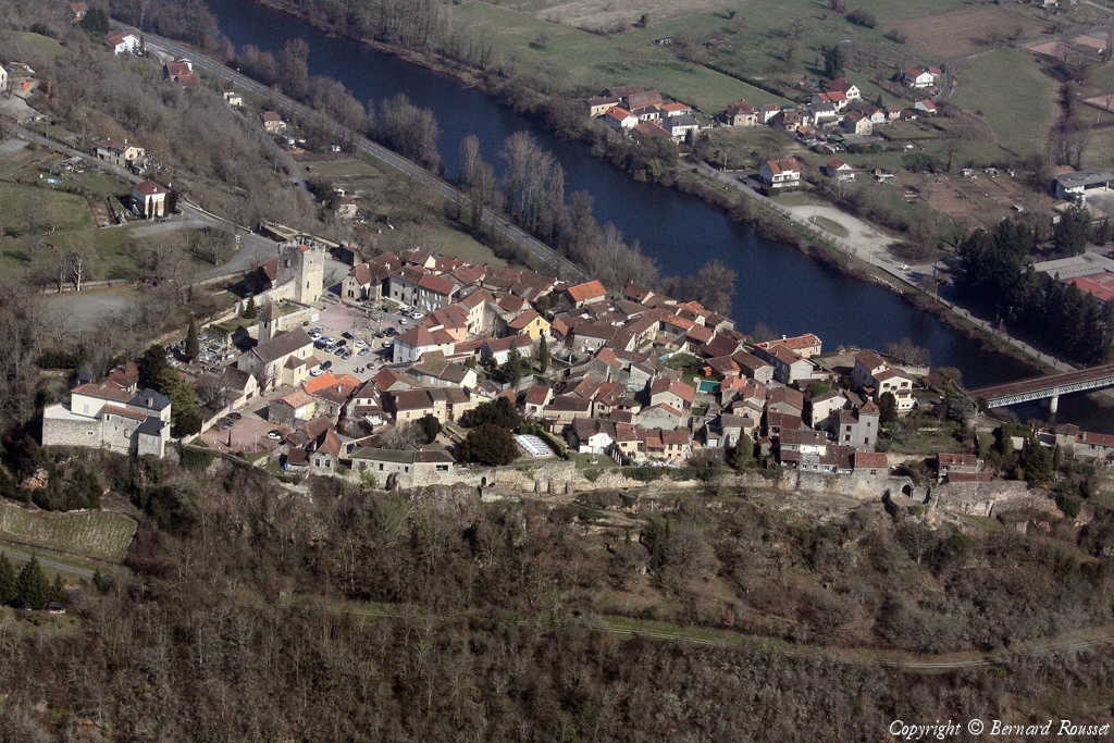
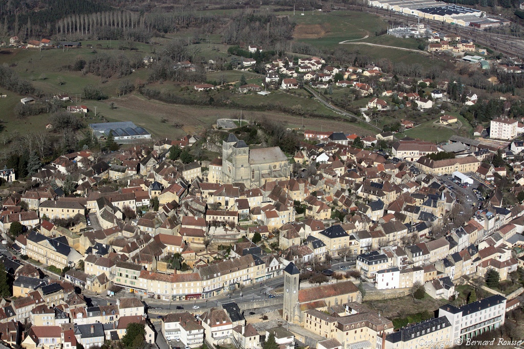
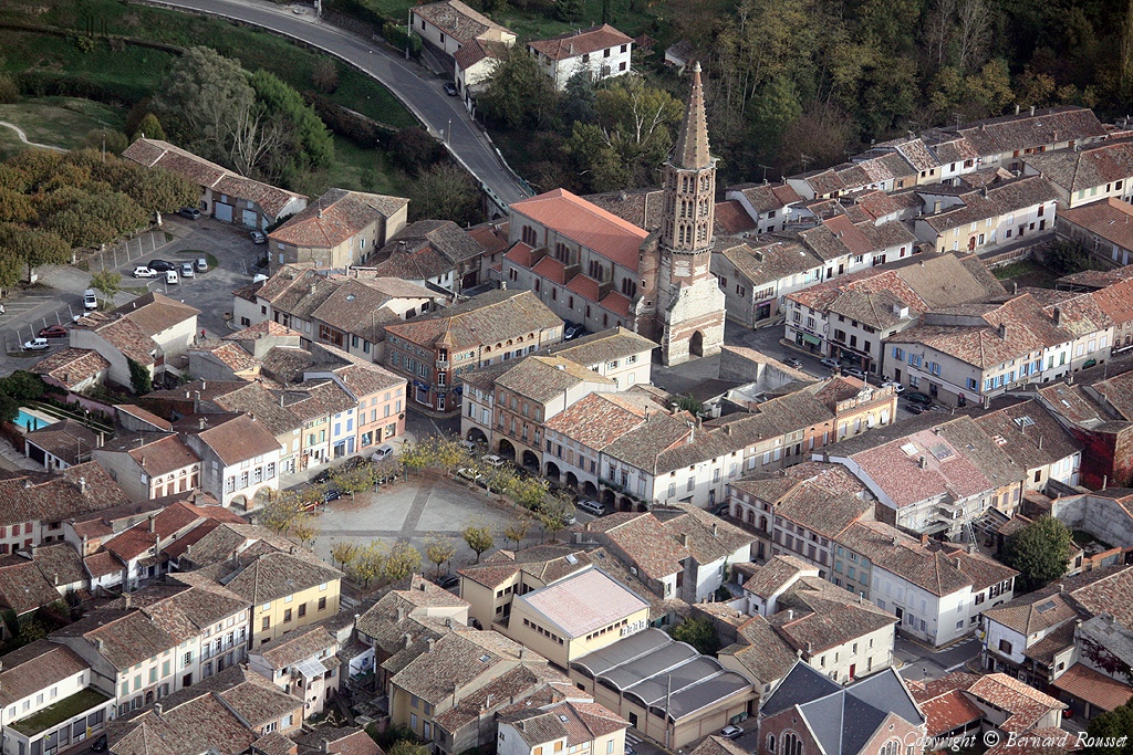
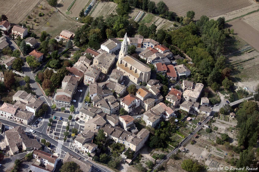
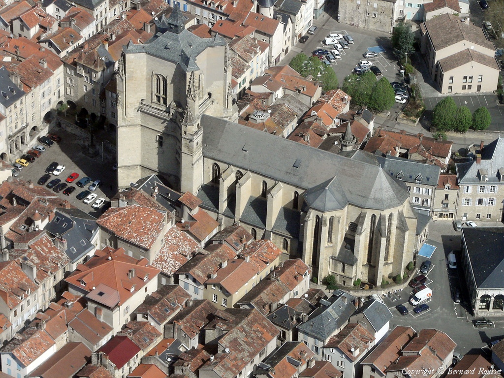
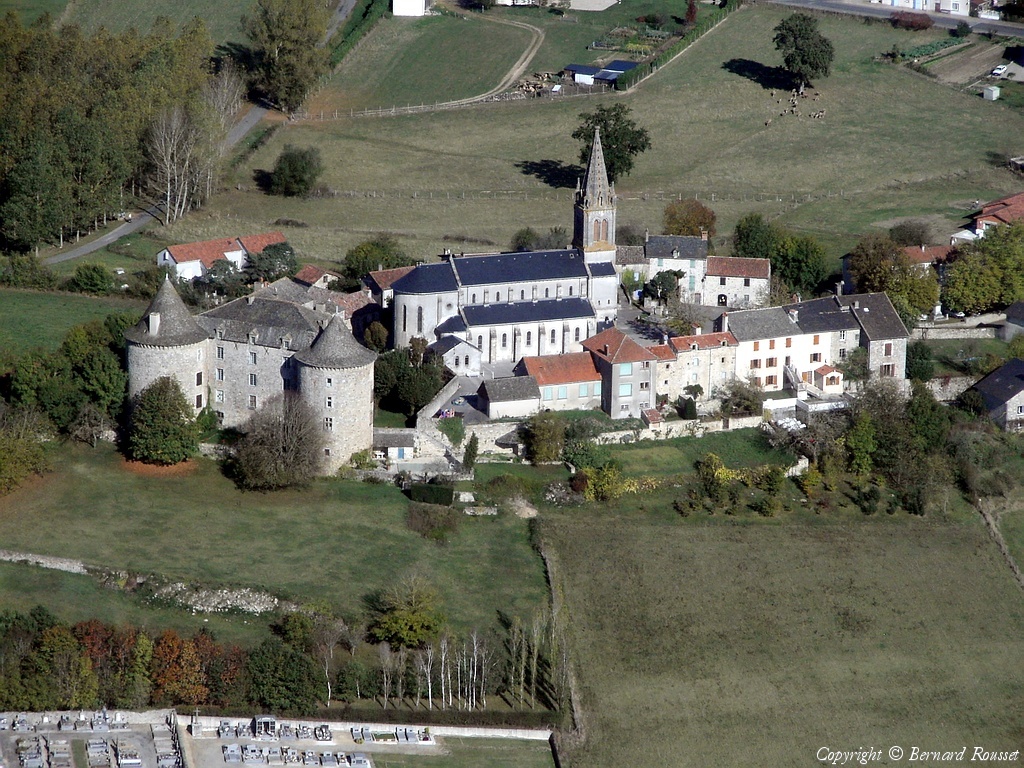
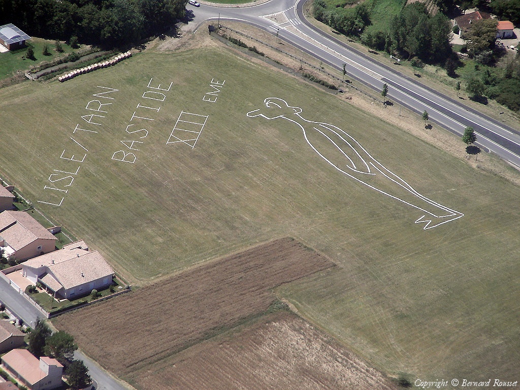
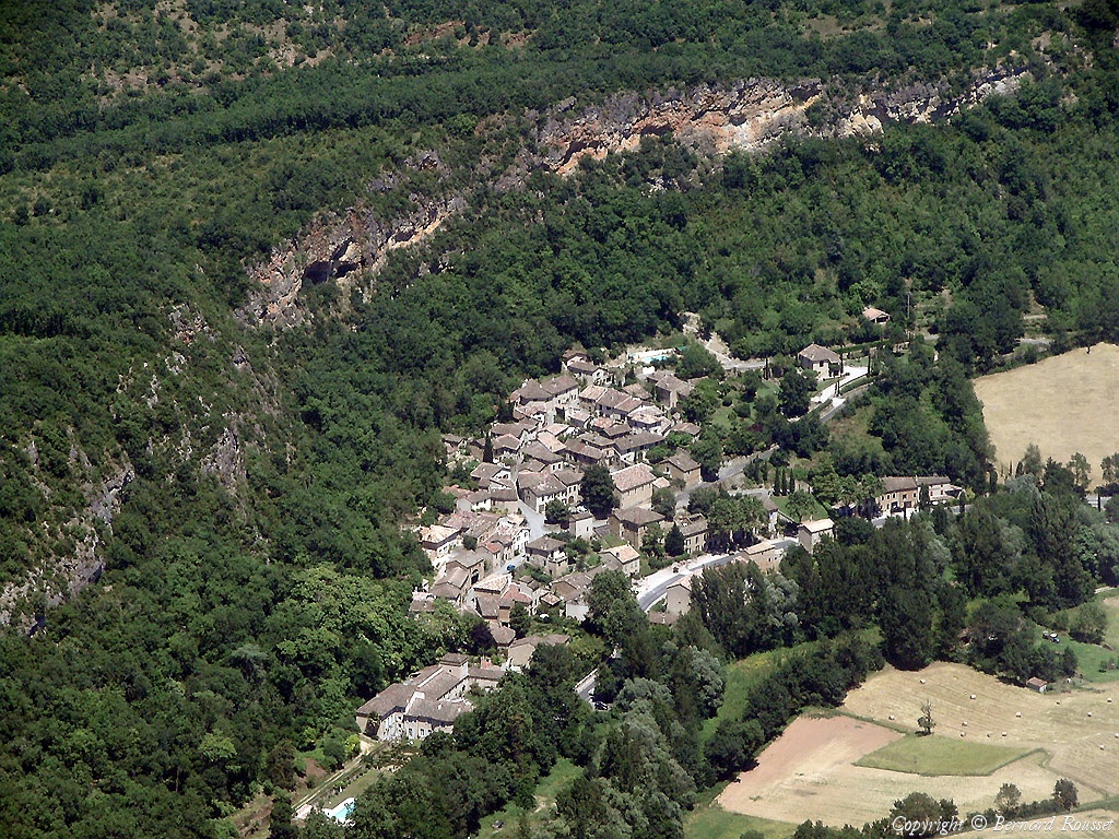
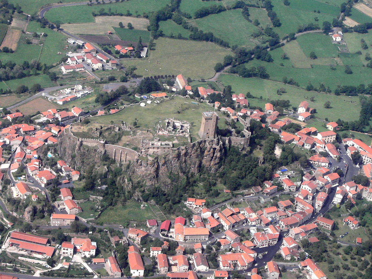
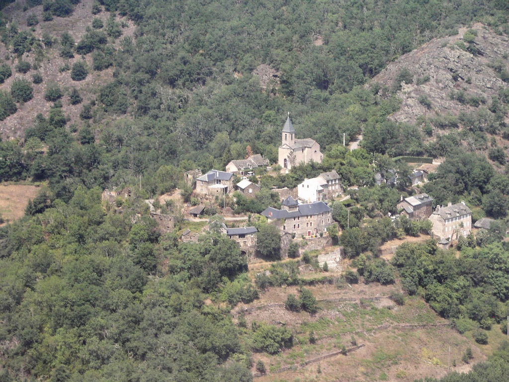
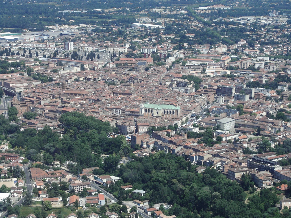
Pays :
France
Département :
Lot (46)
Lieu :
Labastide-Murat
Coord. GPS :
44 38 31 N 01 33 44 E
Photographe :
Bernard Rousset
Prise le :
22/05/2011
Vue 2507 fois (
0.53 fois/jour
)
Affiner la recherche
-
Situer sur la carte
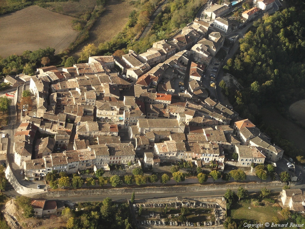
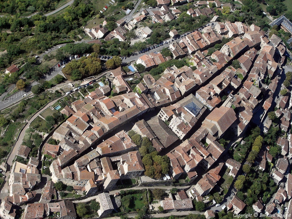
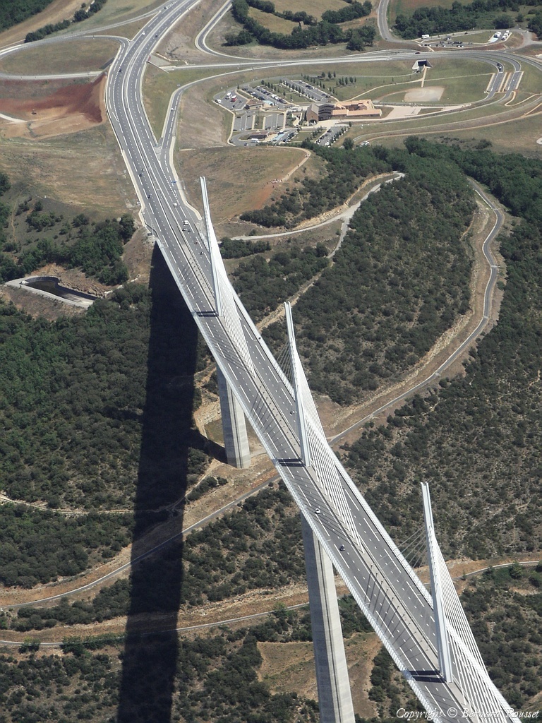
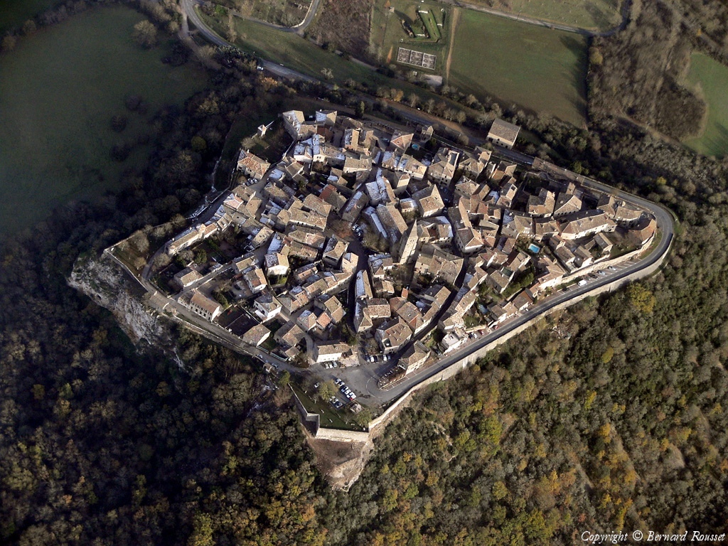
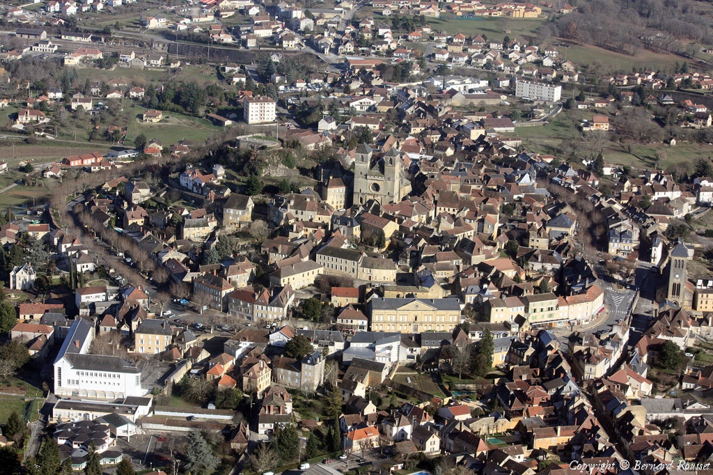
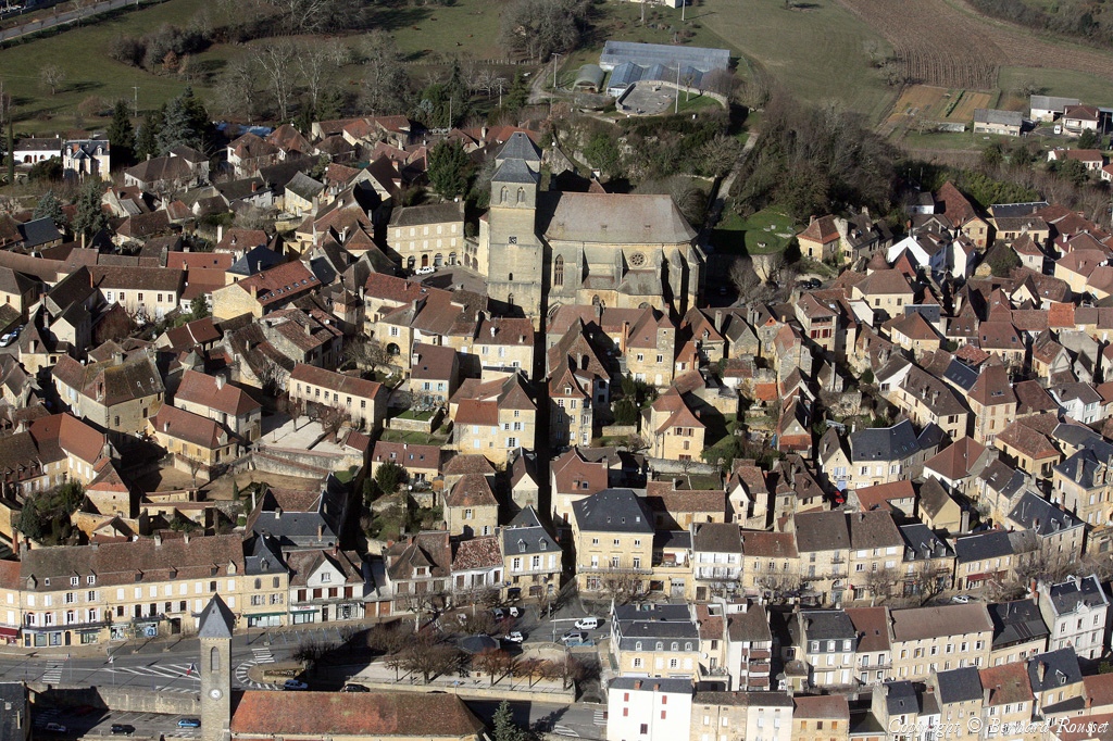
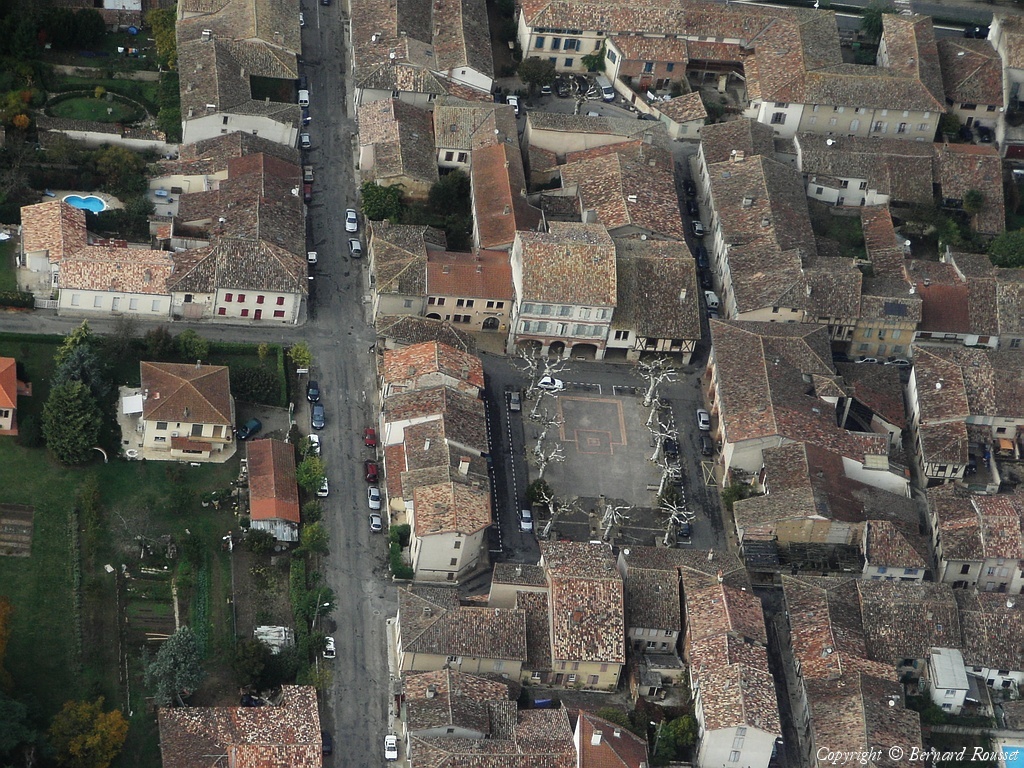
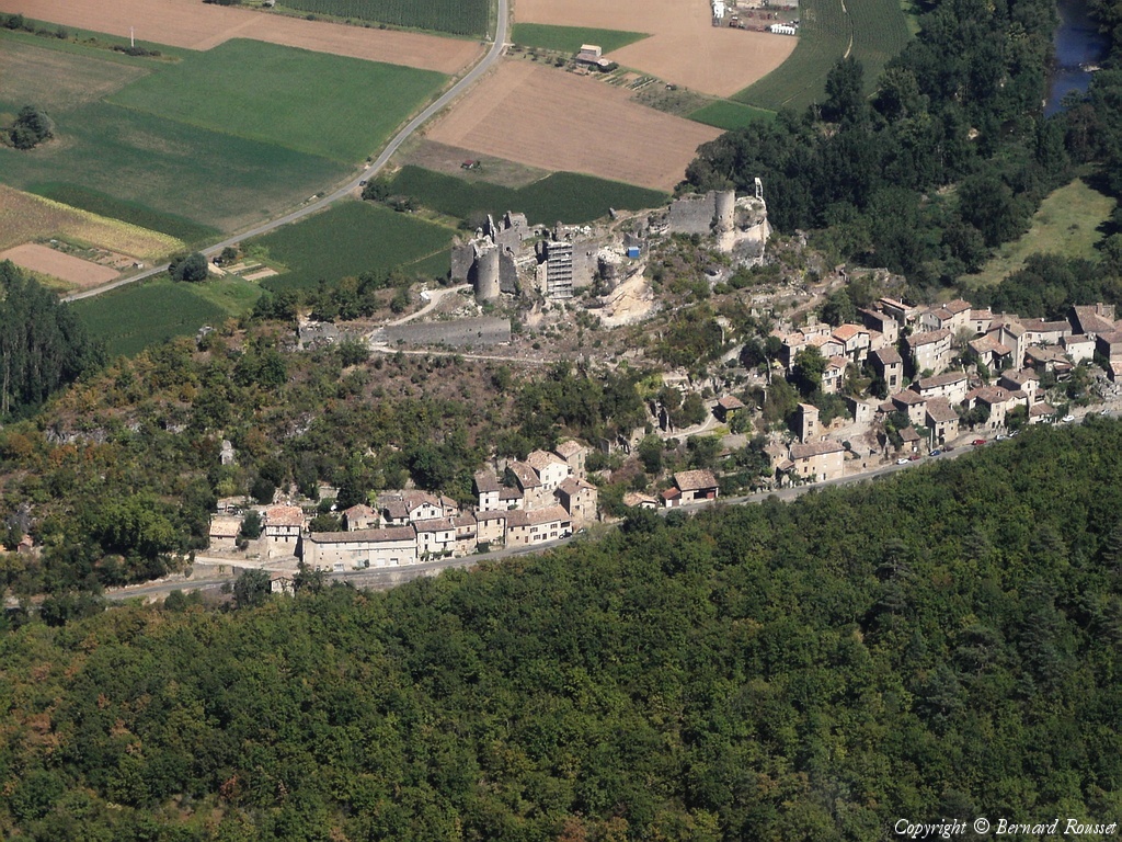
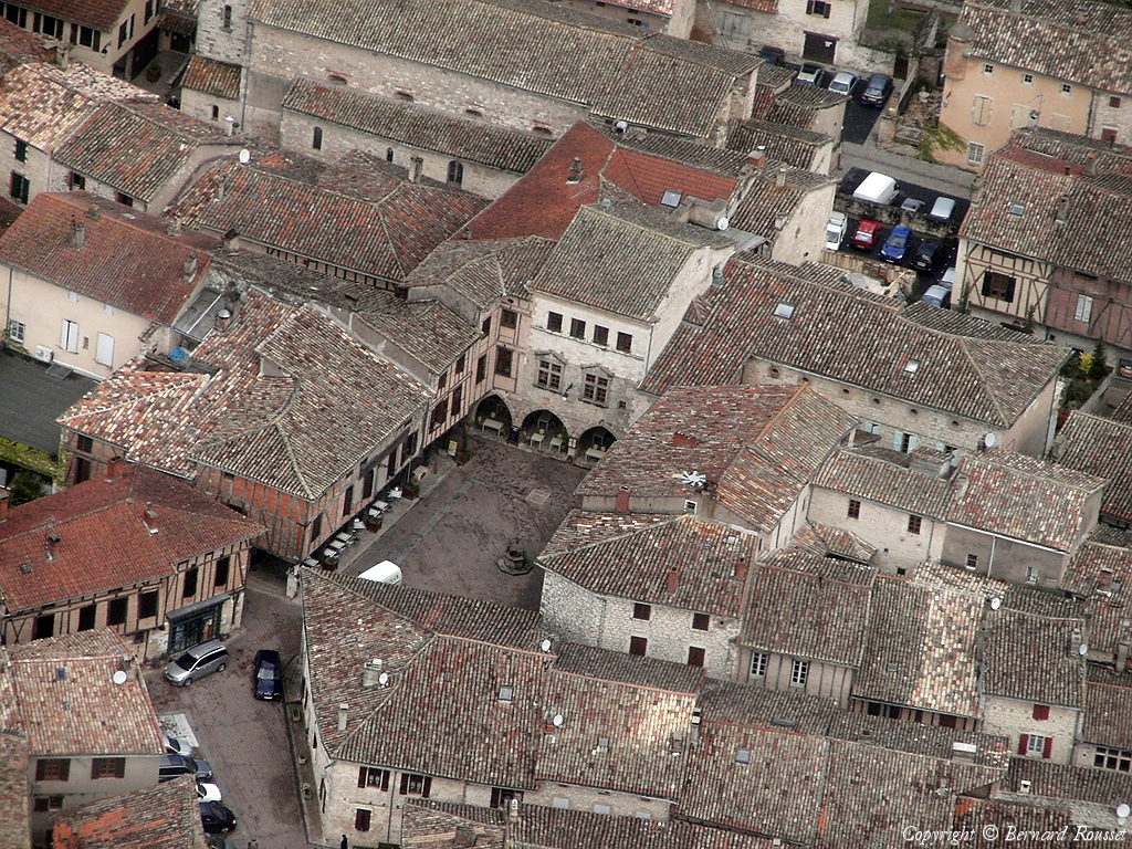
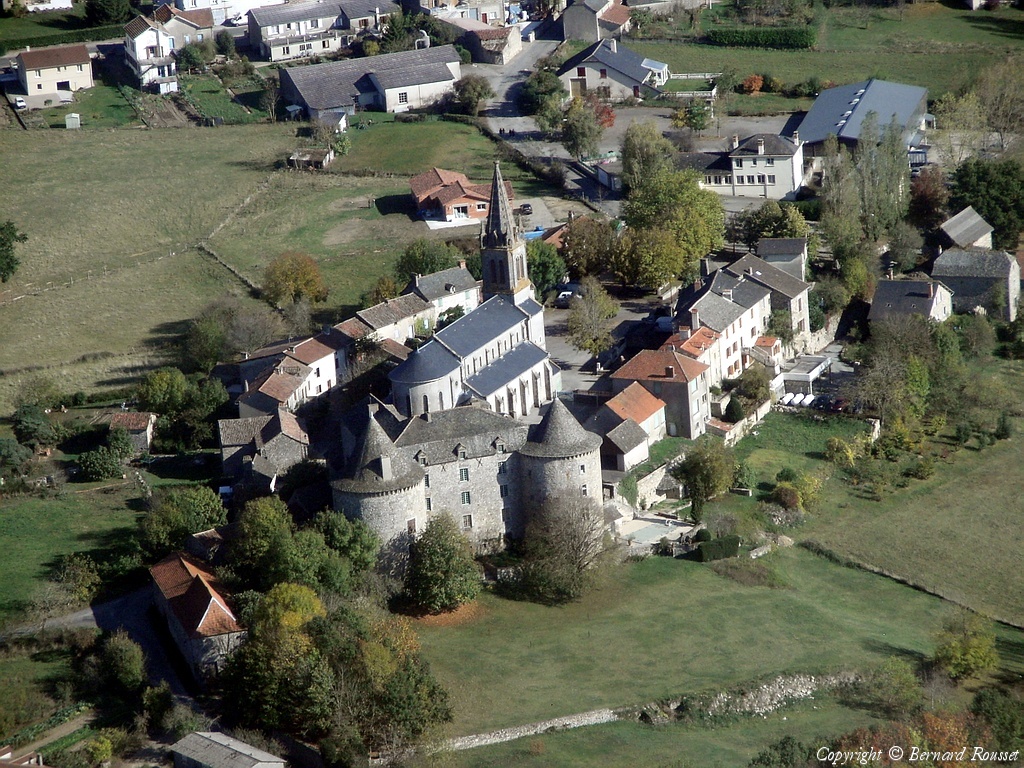
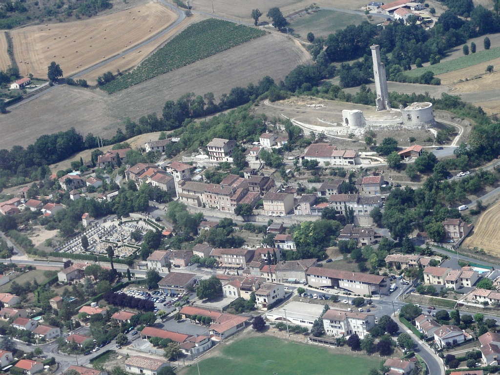
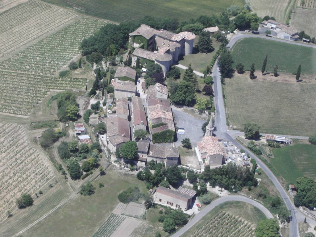
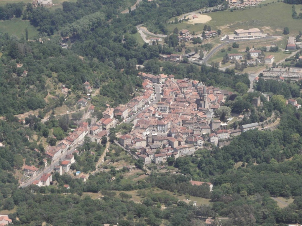
Pays :
France
Département :
Tarn (81)
Lieu :
Puycelci
Coord. GPS :
43 59 34 N 01 42 38 E
Photographe :
Bernard Rousset
Prise le :
08/05/2011
Vue 2890 fois (
0.60 fois/jour
)
Affiner la recherche
-
Situer sur la carte
Pays :
France
Département :
Tarn (81)
Lieu :
Puycelci
Coord. GPS :
43 59 34 N 01 42 38 E
Photographe :
Bernard Rousset
Prise le :
08/05/2011
Vue 2111 fois (
0.44 fois/jour
)
Affiner la recherche
-
Situer sur la carte
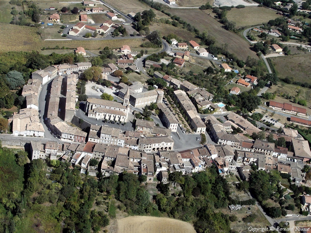
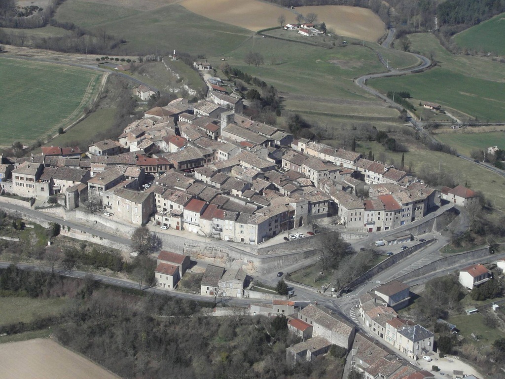
Pays :
France
Département :
Tarn (81)
Lieu :
Castelnau-de-Montmiral
Coord. GPS :
43 57 56 N 01 49 12 E
Photographe :
Bernard Rousset
Prise le :
08/05/2011
Vue 2486 fois (
0.52 fois/jour
)
Affiner la recherche
-
Situer sur la carte
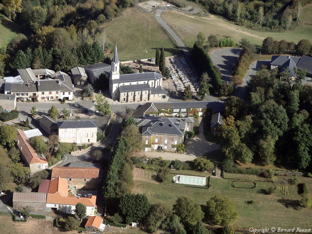
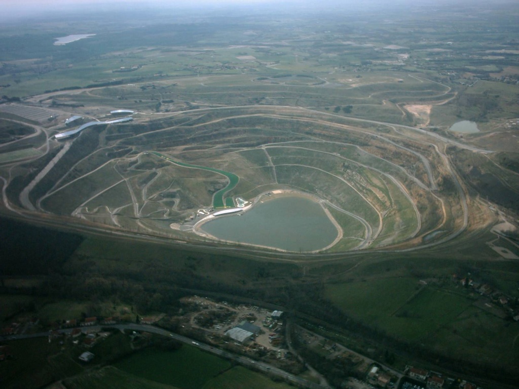
Pays :
France
Département :
Tarn (81)
Lieu :
Cestayrols
Coord. GPS :
43 58 51 N 01 59 04 E
Photographe :
Bernard Rousset
Prise le :
02/04/2011
Vue 3557 fois (
0.74 fois/jour
)
Affiner la recherche
-
Situer sur la carte
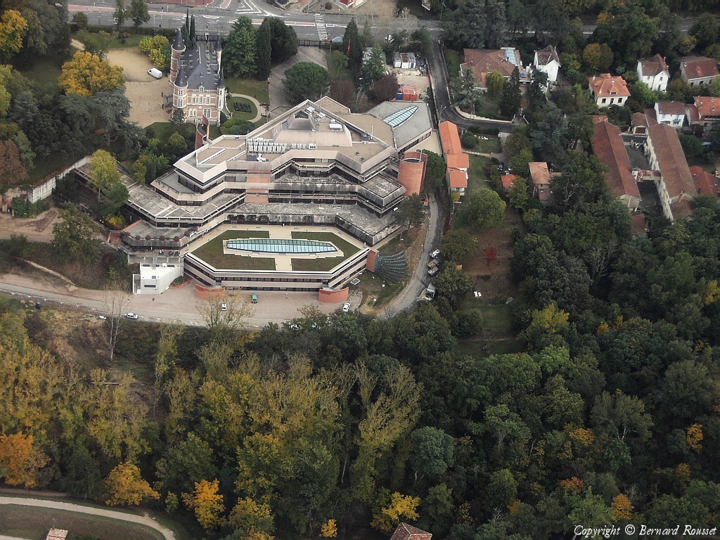
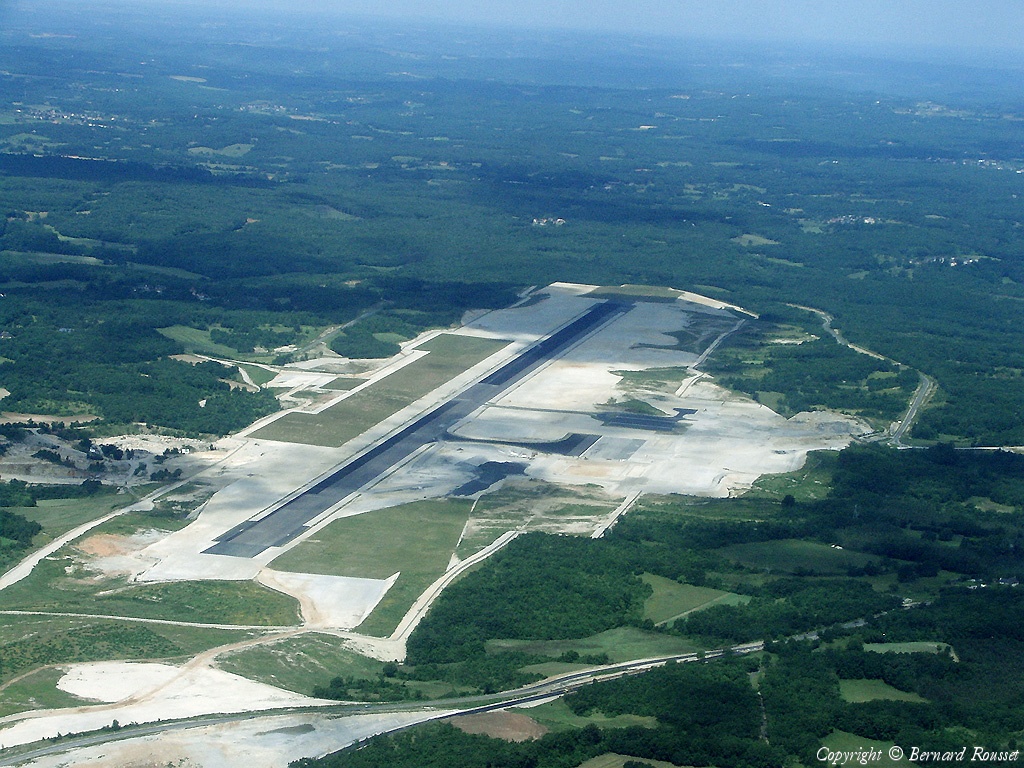
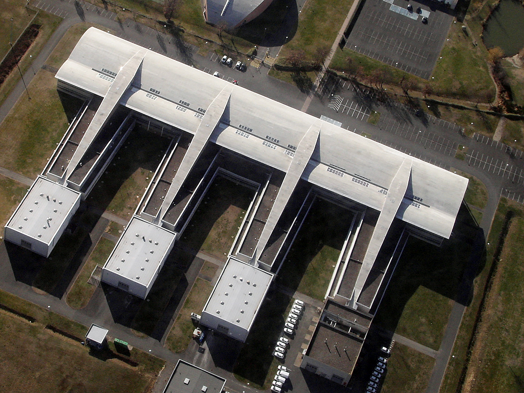
Pays :
France
Département :
Haute-Garonne (31)
Lieu :
Aussonne
Coord. GPS :
43 40 56 N 01 19 06 E
Photographe :
Bernard Rousset
Prise le :
01/04/2011
Vue 2617 fois (
0.54 fois/jour
)
Affiner la recherche
-
Situer sur la carte
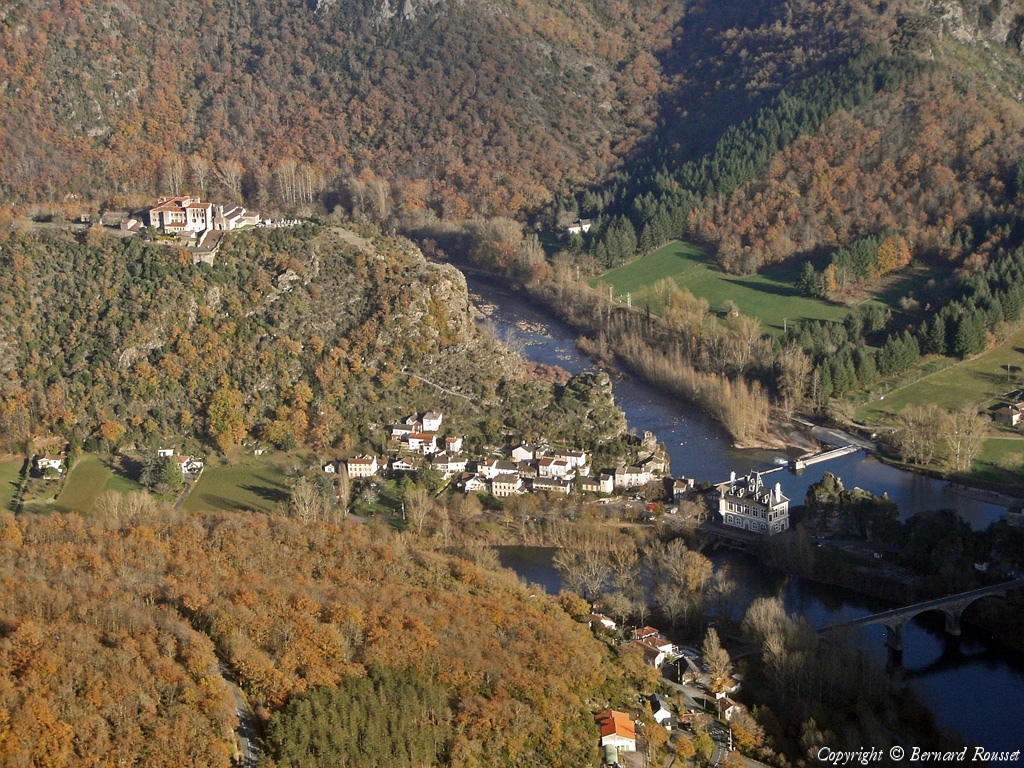
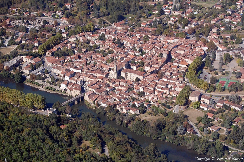
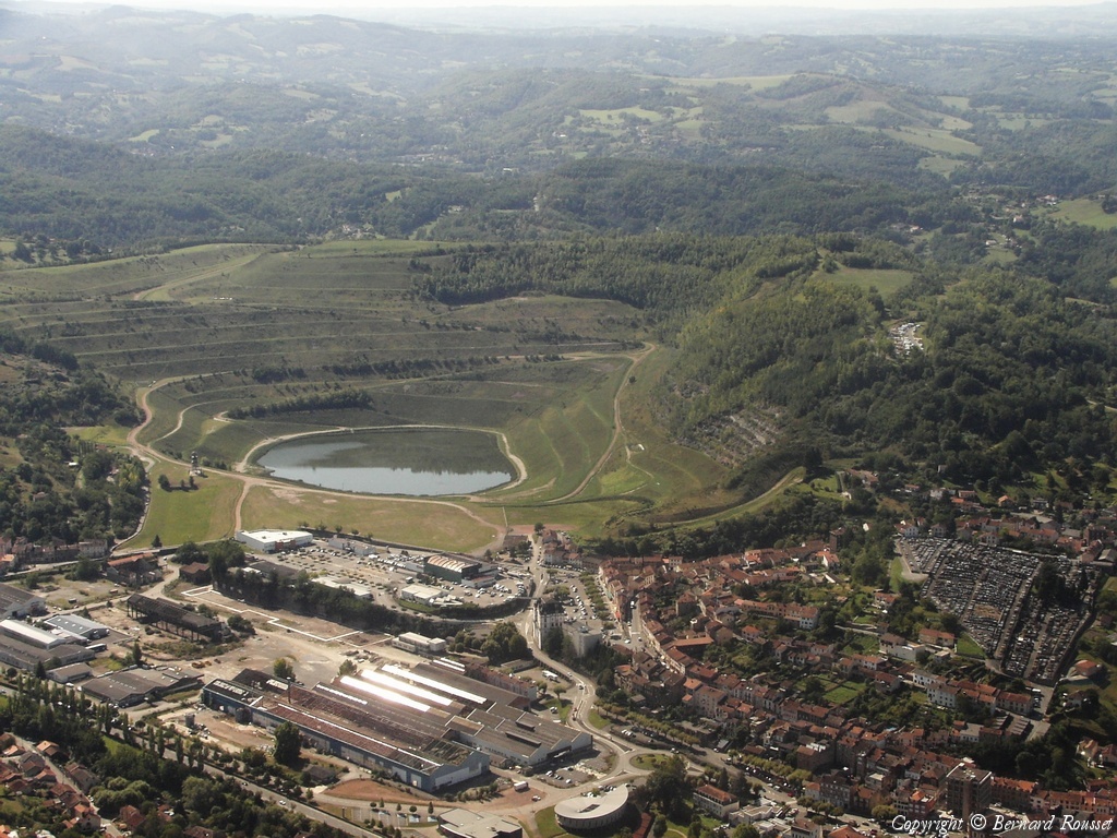
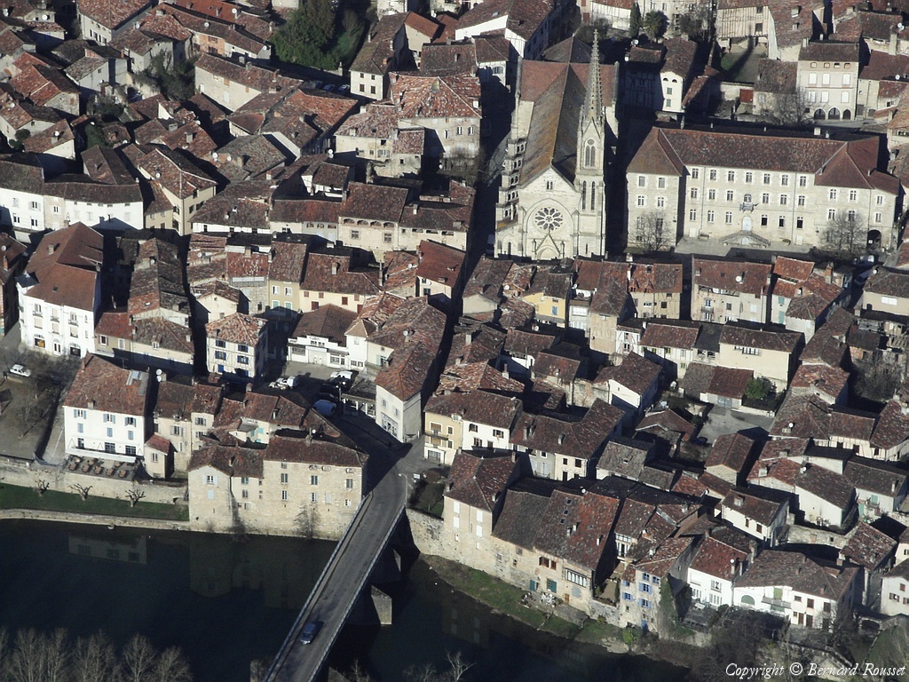
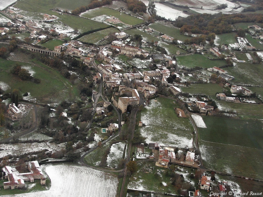
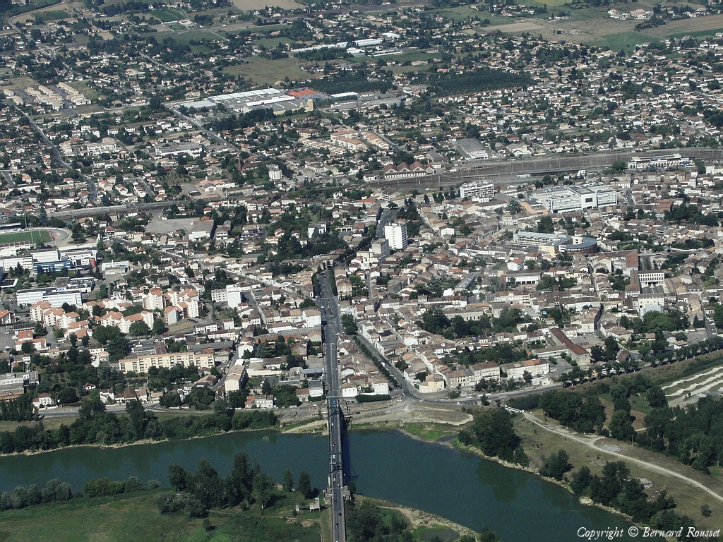
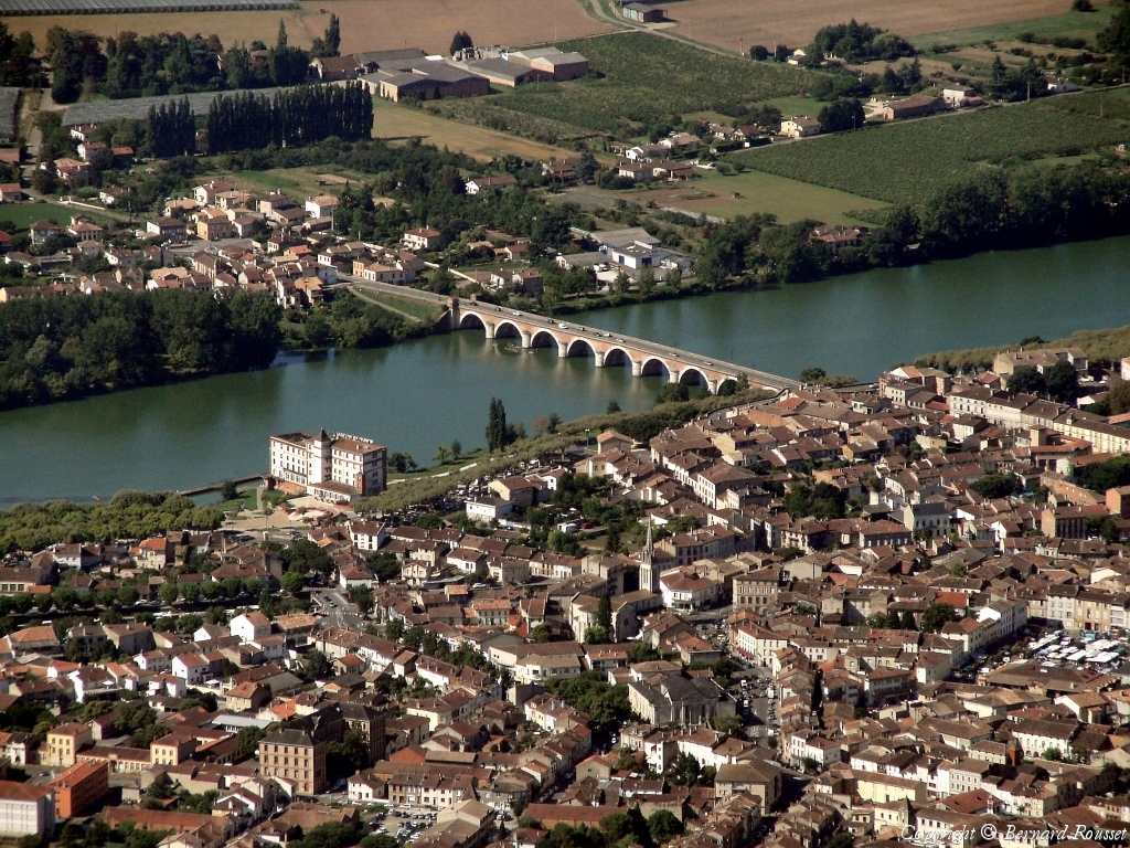
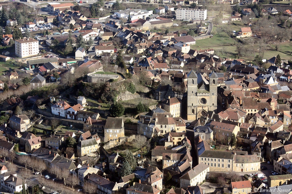
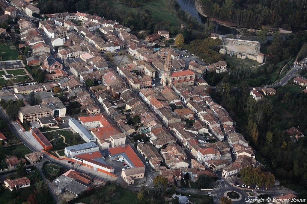
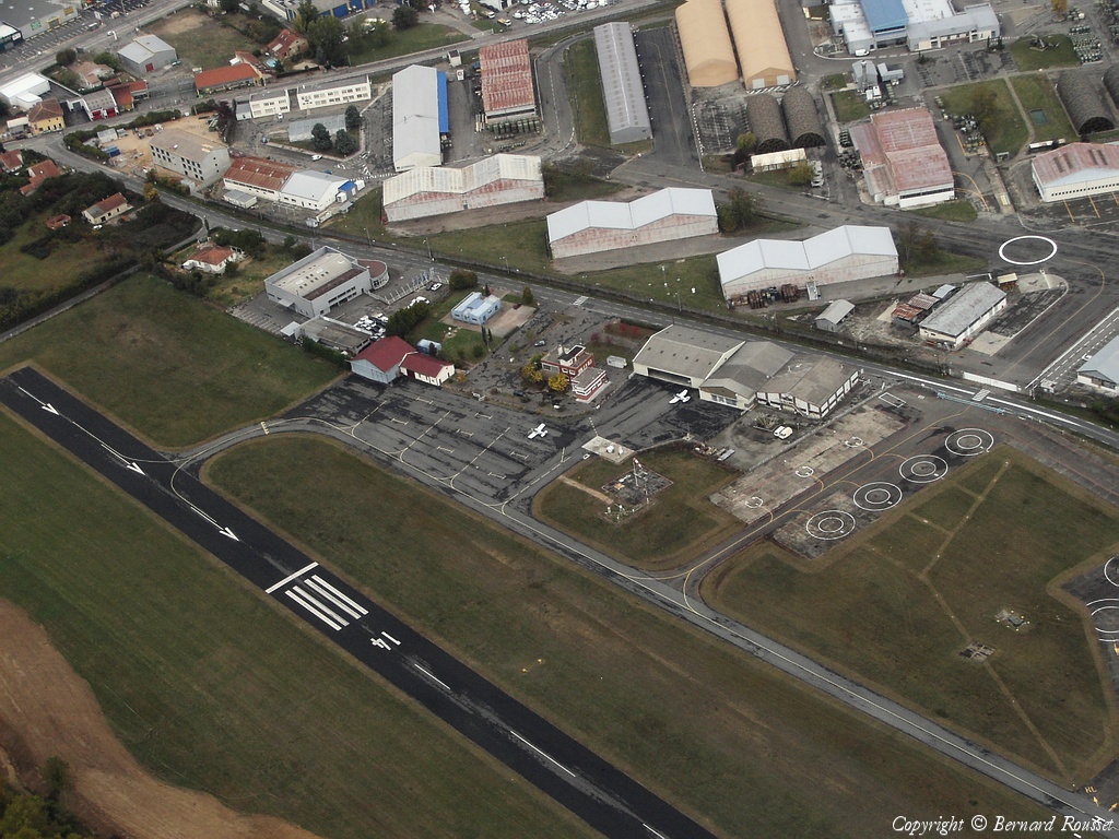
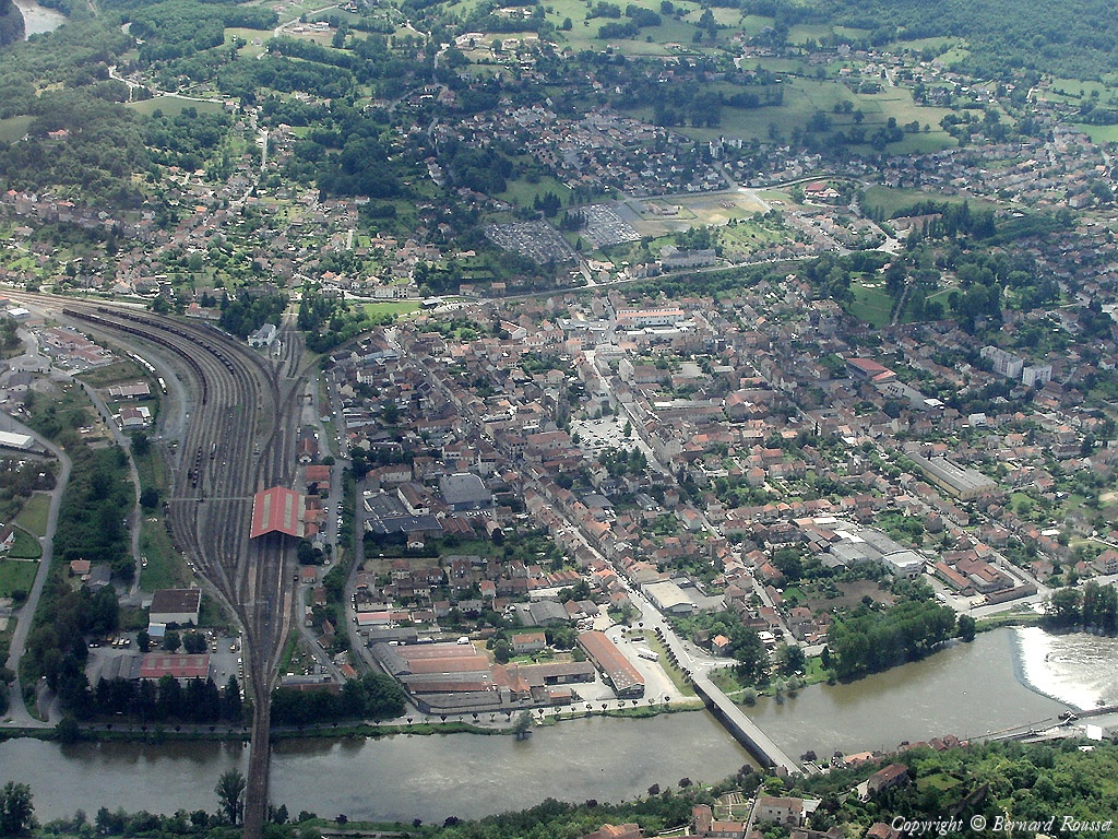
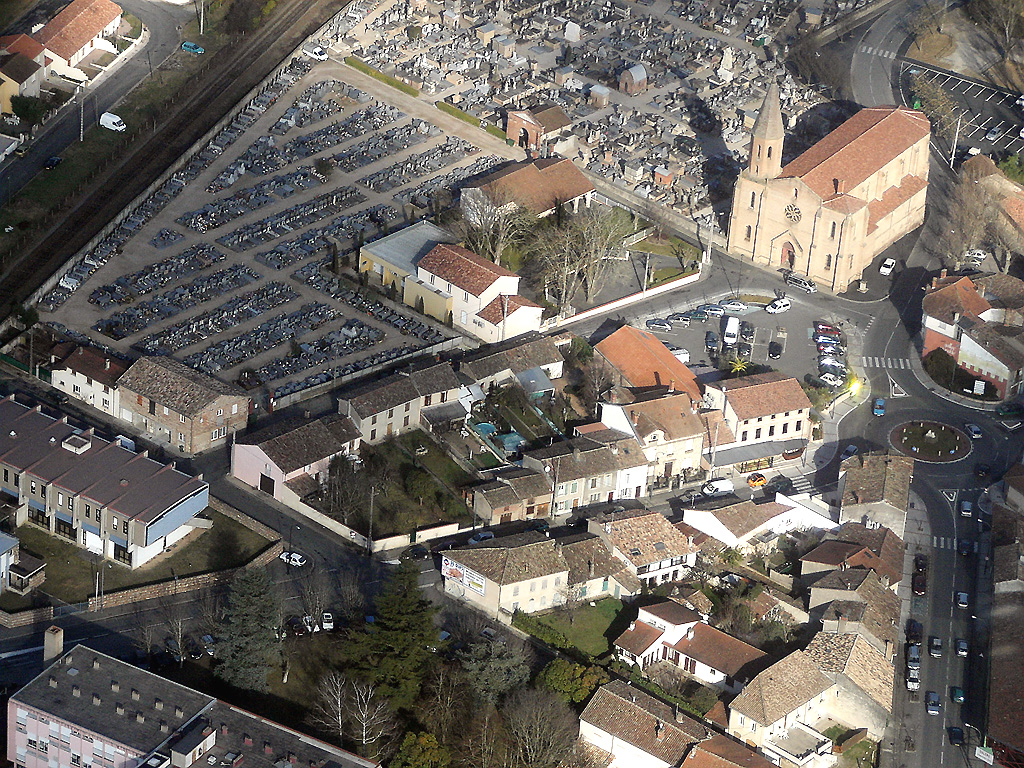
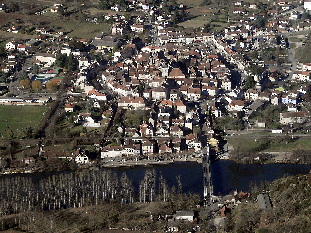
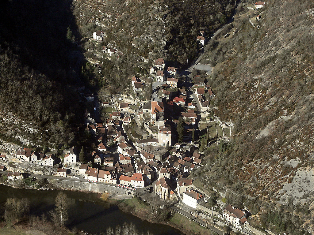
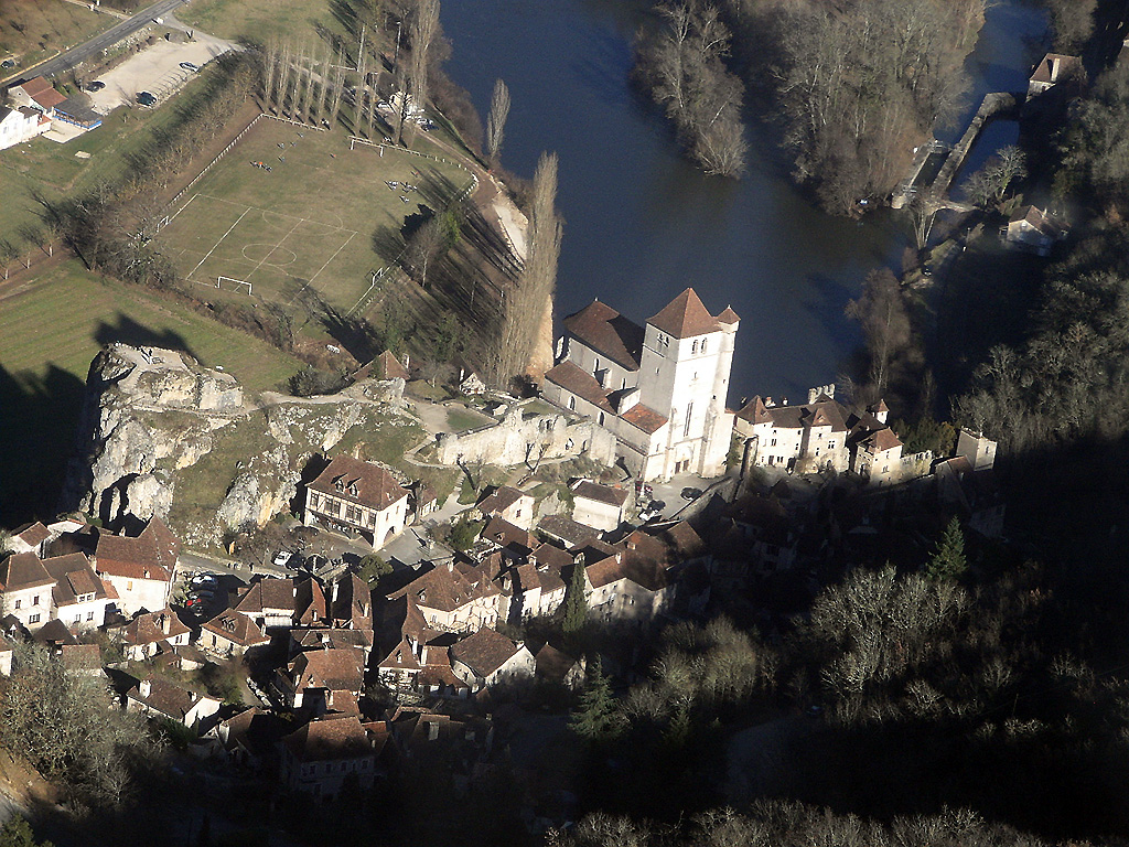
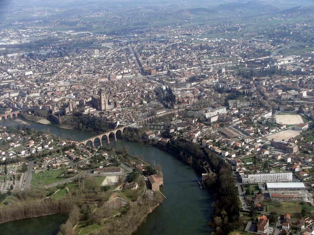
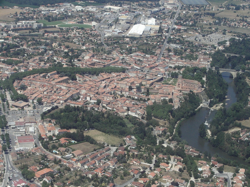
Pays :
France
Département :
Tarn-et-Garonne (82)
Lieu :
Saint-Antonin-Noble-Val
Coord. GPS :
44 09 06 N 01 45 20 E
Photographe :
Bernard Rousset
Prise le :
09/02/2011
Vue 2819 fois (
0.58 fois/jour
)
Affiner la recherche
-
Situer sur la carte
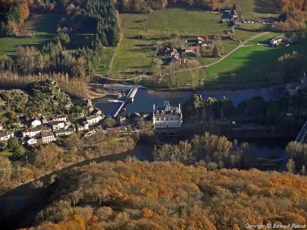
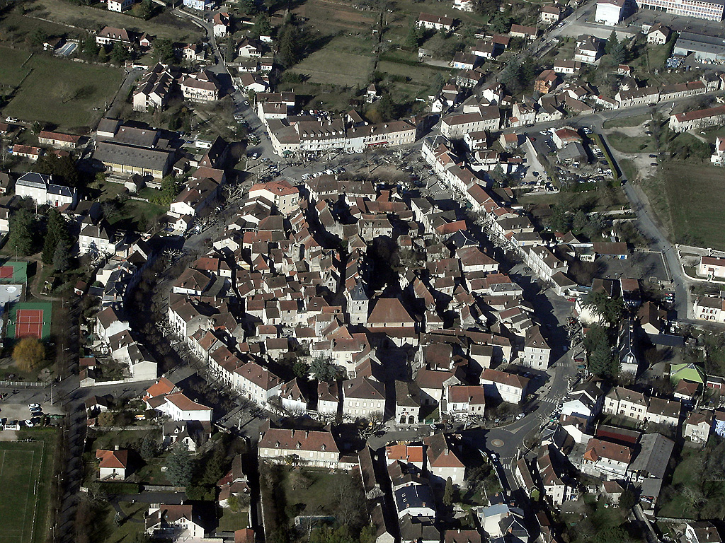
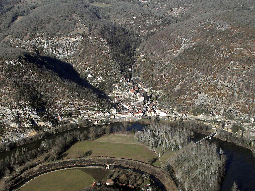
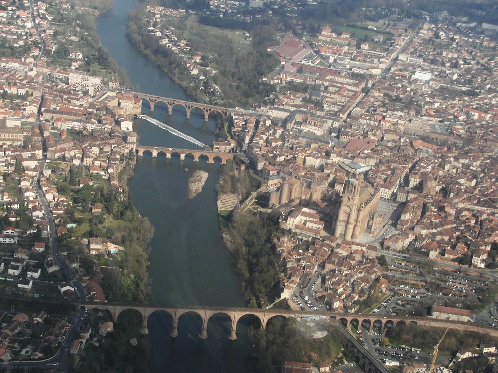
Pays :
France
Département :
Tarn-et-Garonne (82)
Lieu :
Saint-Antonin-Noble-Val
Coord. GPS :
44 09 06 N 01 45 20 E
Photographe :
Bernard Rousset
Prise le :
09/02/2011
Vue 2855 fois (
0.59 fois/jour
)
Affiner la recherche
-
Situer sur la carte
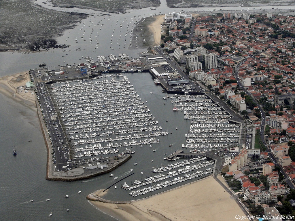
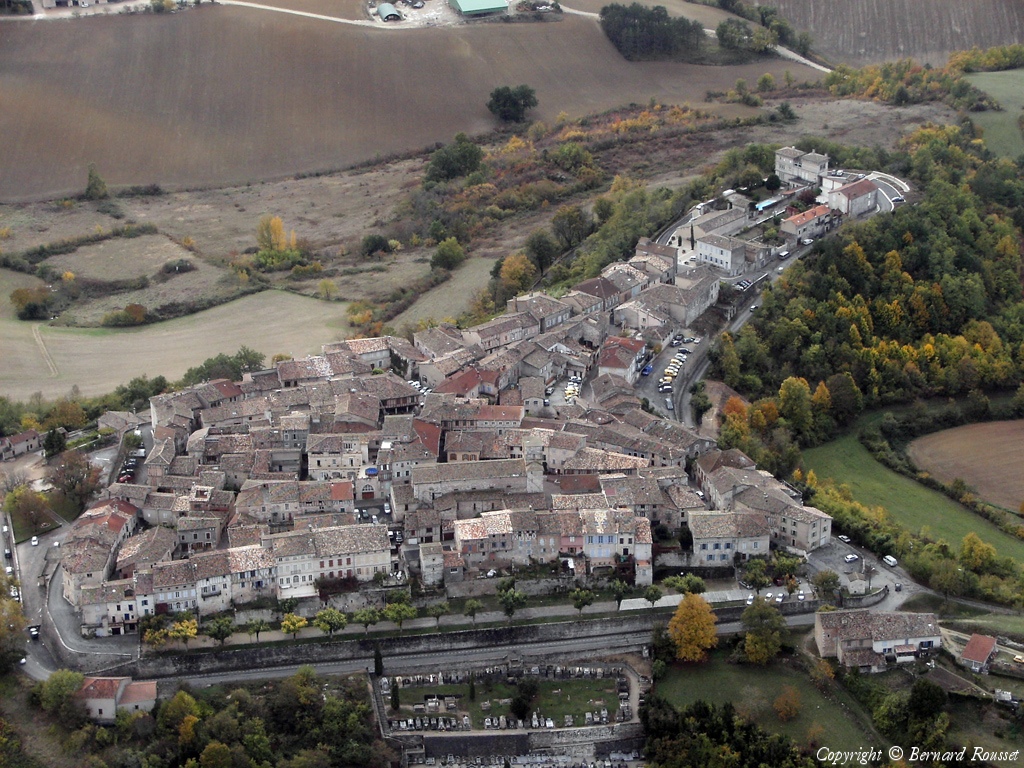
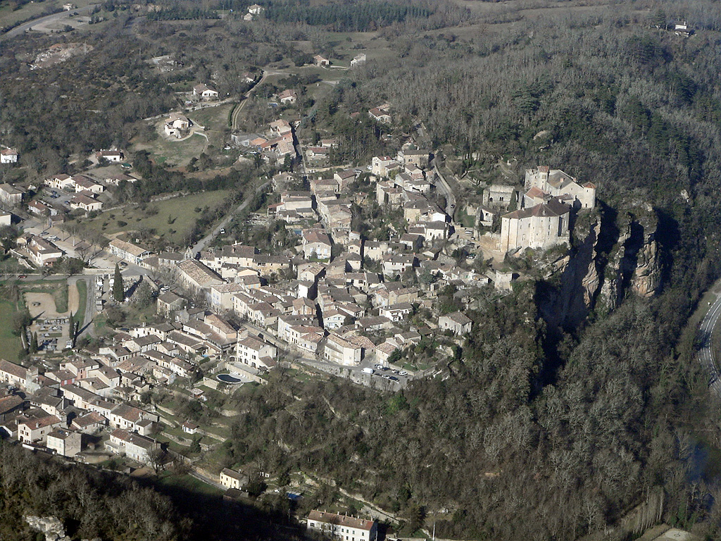
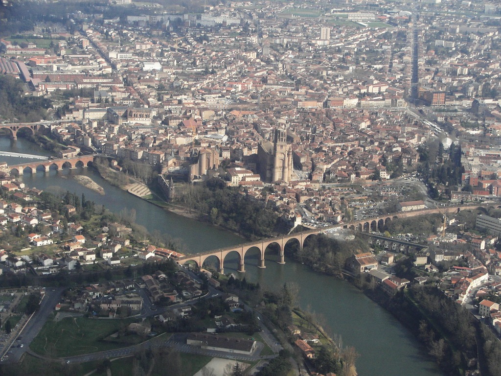
Pays :
France
Département :
Tarn (81)
Lieu :
Castelnau-de-Lévis
Coord. GPS :
43 56 16 N 02 05 03 E
Photographe :
Bernard Rousset
Prise le :
15/01/2011
Vue 3660 fois (
0.75 fois/jour
)
Affiner la recherche
-
Situer sur la carte
Pays :
France
Département :
Tarn (81)
Lieu :
Puycelci
Coord. GPS :
43 59 34 N 01 42 38 E
Photographe :
Bernard Rousset
Prise le :
04/12/2010
Vue 3514 fois (
0.71 fois/jour
)
Affiner la recherche
-
Situer sur la carte
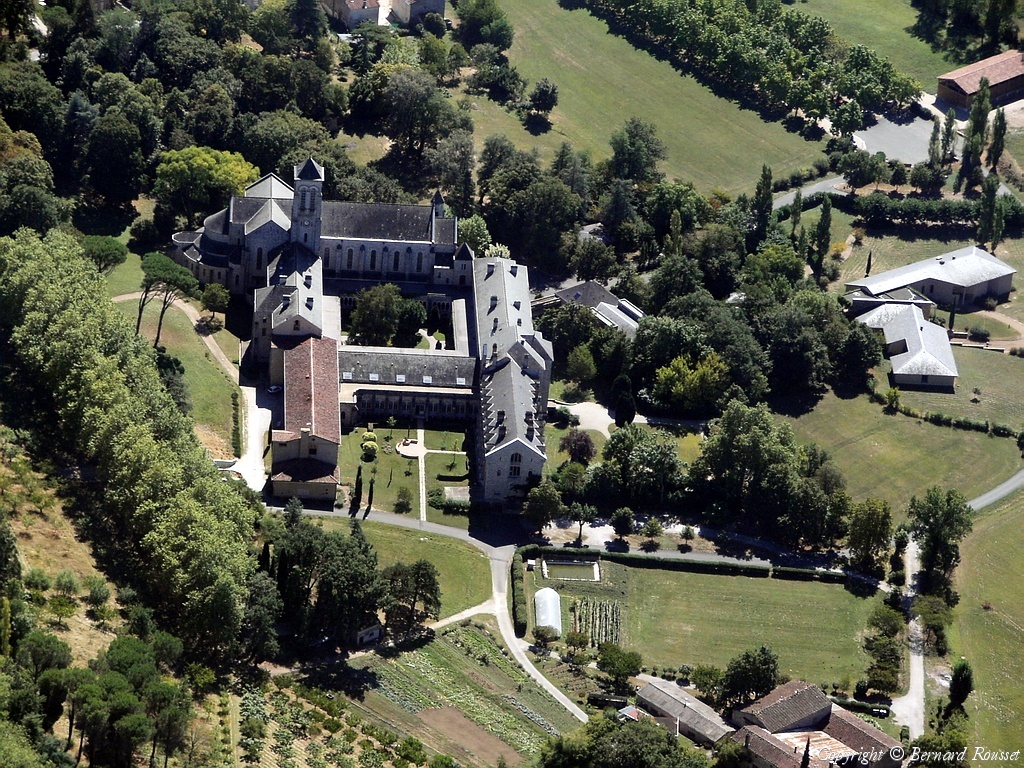
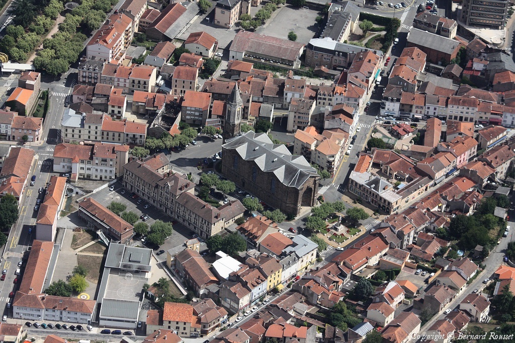
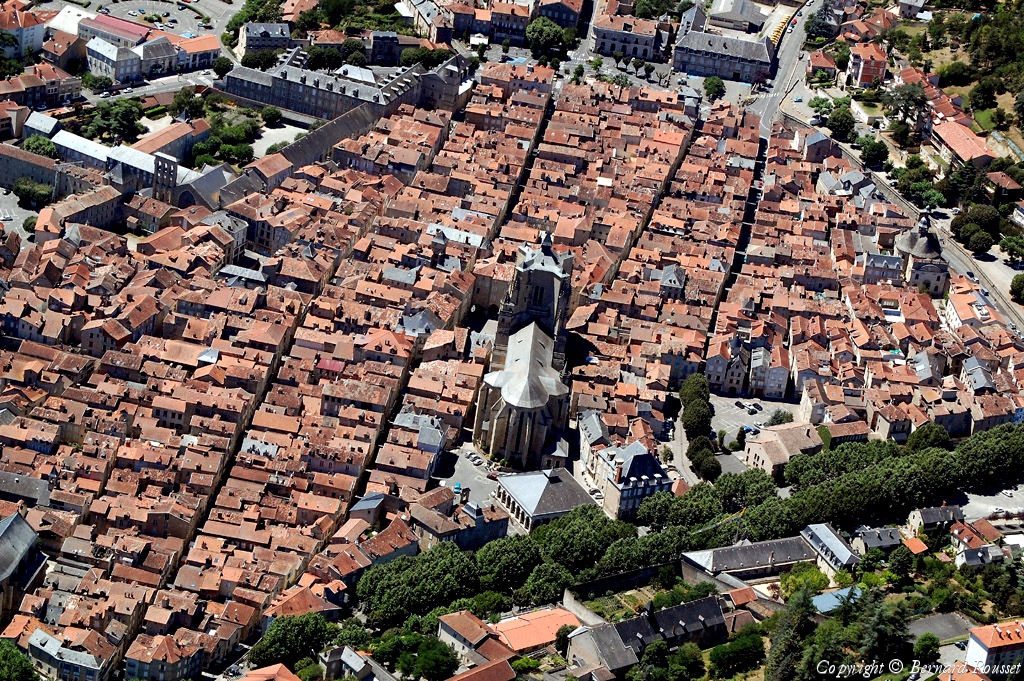
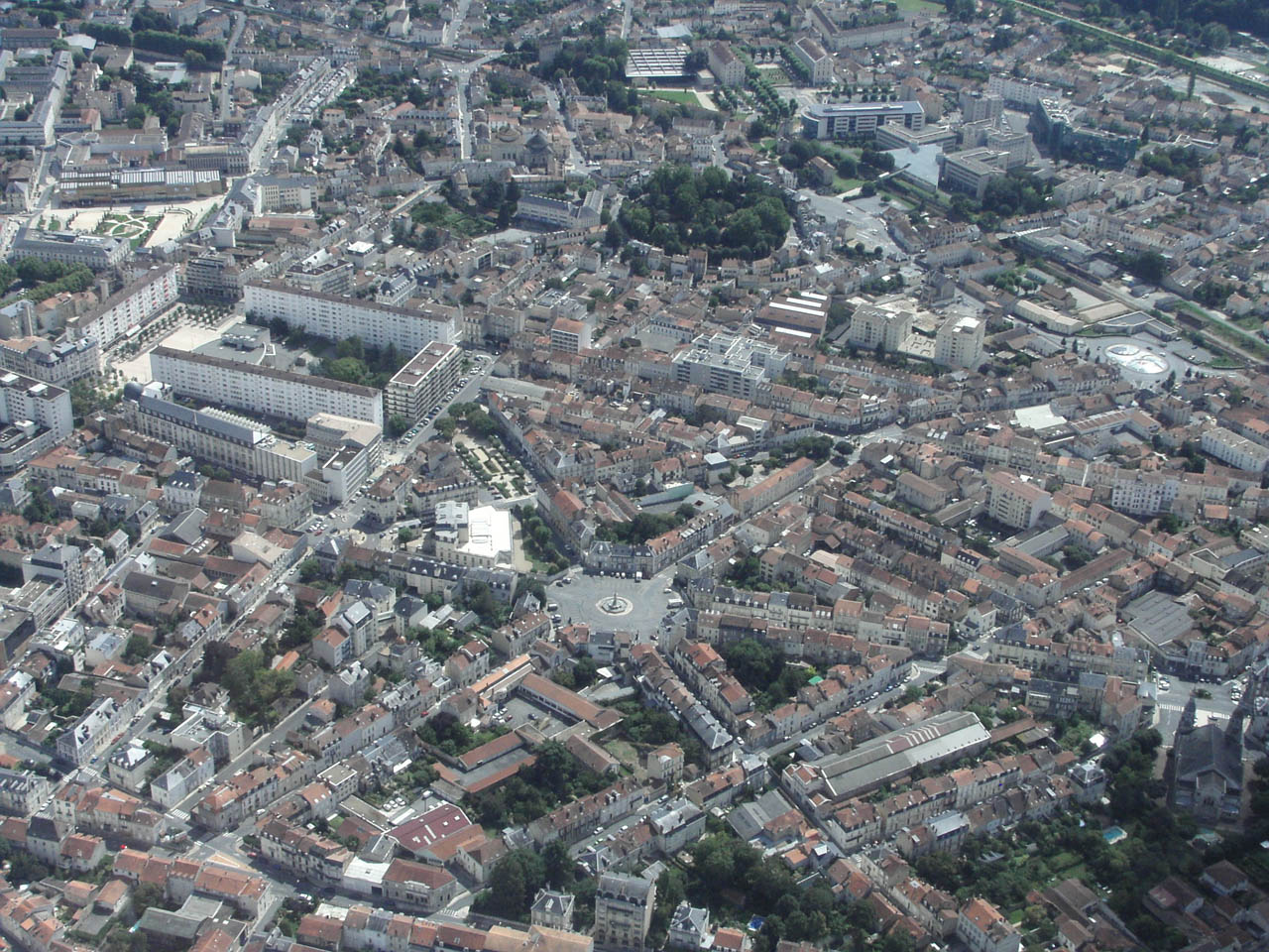
Pays :
France
Département :
Tarn (81)
Lieu :
Cordes-sur-Ciel
Coord. GPS :
44 03 47 N 01 57 05 E
Photographe :
Bernard Rousset
Prise le :
04/12/2010
Vue 3443 fois (
0.70 fois/jour
)
Affiner la recherche
-
Situer sur la carte
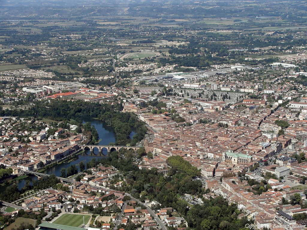
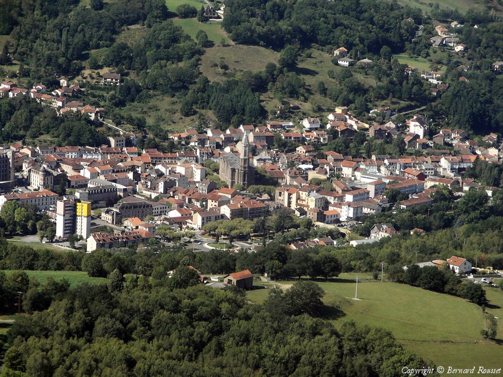
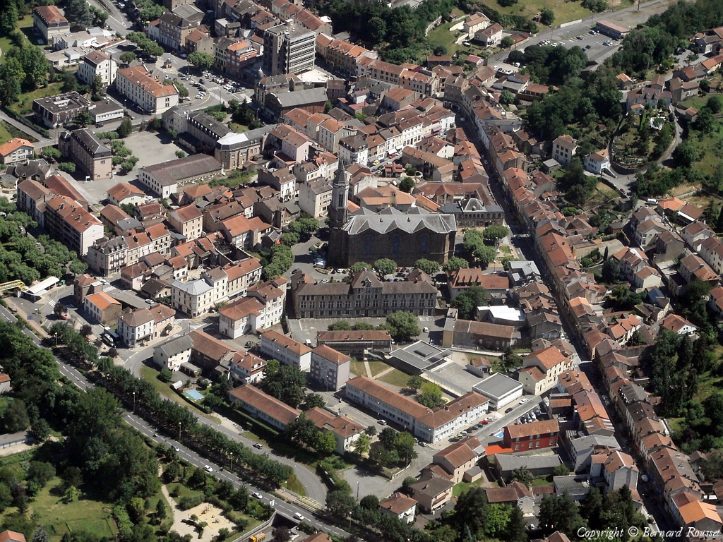
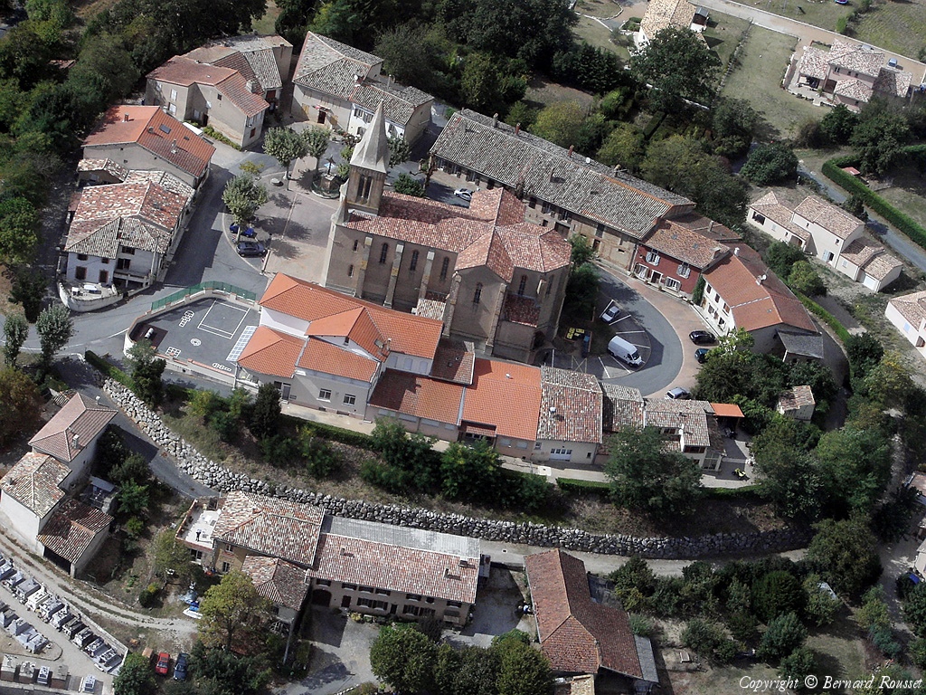
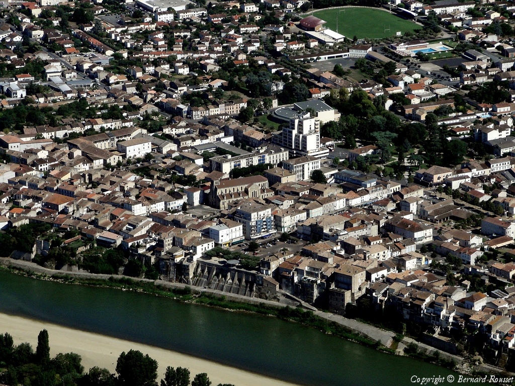
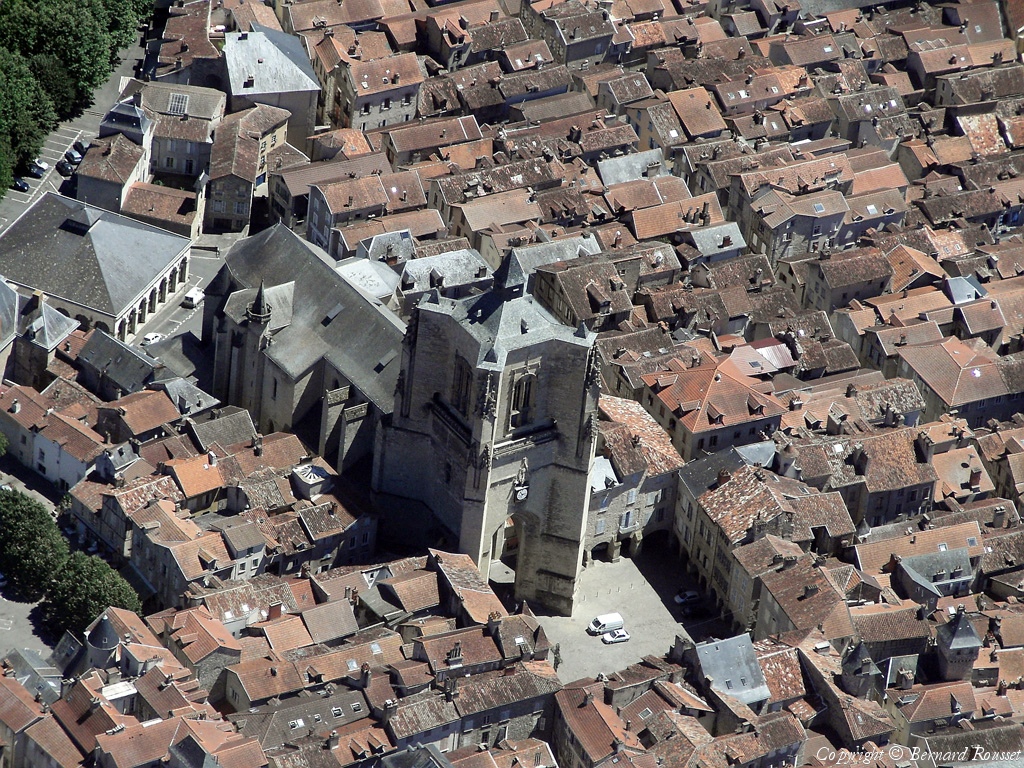
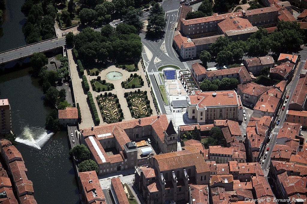
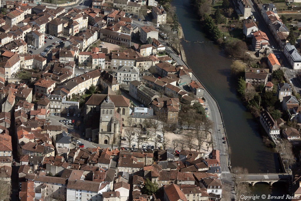
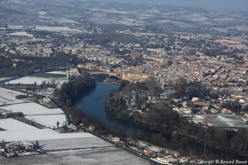
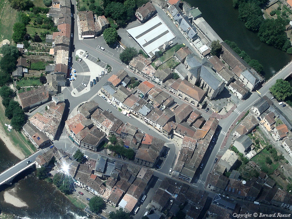
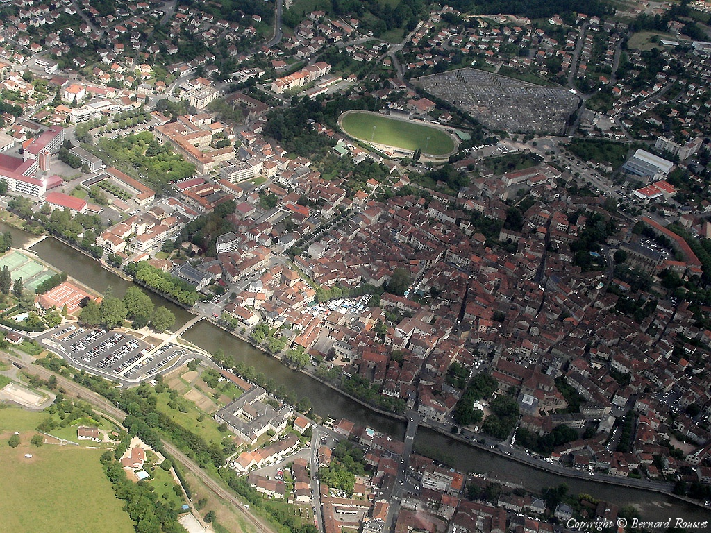
Pays :
France
Département :
Aveyron (12)
Lieu :
Villefranche-de-Rouergue
Coord. GPS :
44 21 12 N 02 02 06 E
Photographe :
Bernard Rousset
Prise le :
28/11/2010
Vue 2546 fois (
0.51 fois/jour
)
Affiner la recherche
-
Situer sur la carte
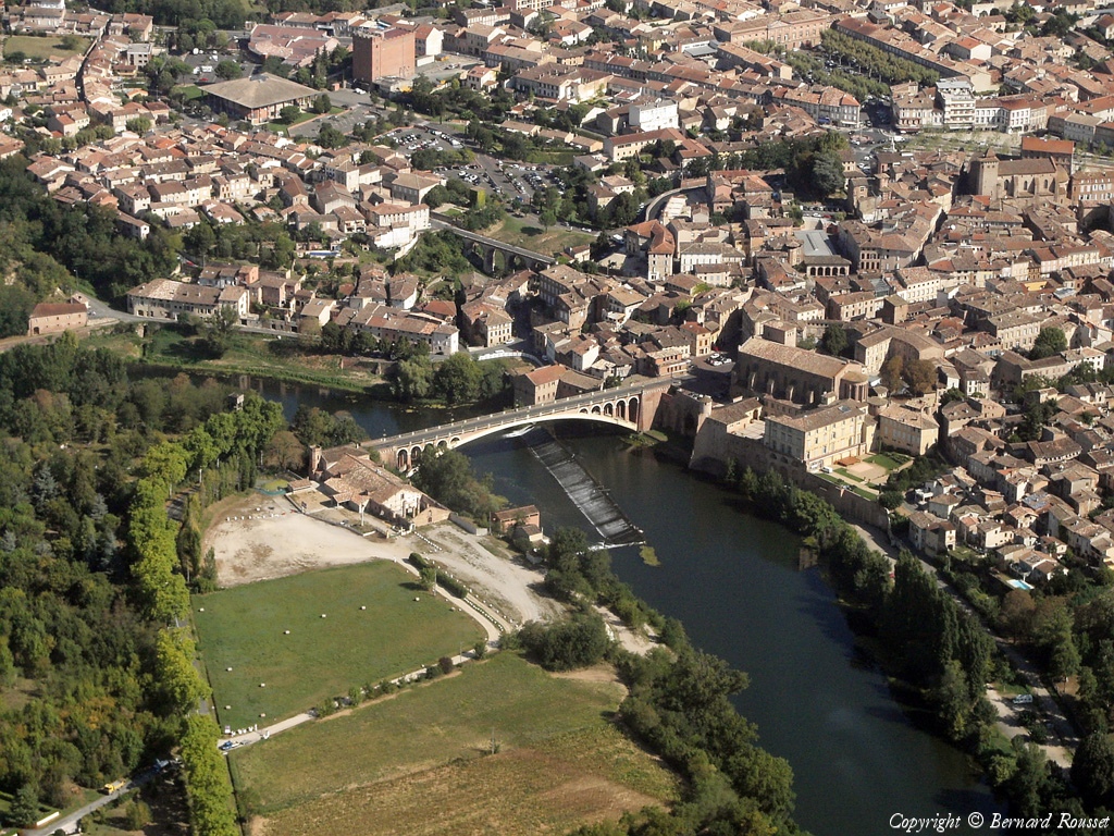
Pays :
France
Département :
Aveyron (12)
Lieu :
Villefranche-de-Rouergue
Coord. GPS :
44 21 57 N 02 01 39 E
Photographe :
Bernard Rousset
Prise le :
28/11/2010
Vue 2484 fois (
0.50 fois/jour
)
Affiner la recherche
-
Situer sur la carte
Pays :
France
Département :
Aveyron (12)
Lieu :
Villefranche-de-Rouergue
Coord. GPS :
44 21 57 N 02 01 39 E
Photographe :
Bernard Rousset
Prise le :
28/11/2010
Vue 2306 fois (
0.47 fois/jour
)
Affiner la recherche
-
Situer sur la carte
Première page
Page précédente
1
2
3
4
5
6
7
8
9
10
11
...
Page suivante
Dernière page
Droits réservés - Copyright ©
Survol de France
Site en ligne depuis le 28 octobre 2004
465 visiteurs en ligne
-
4013 visiteurs aujourd'hui
Information sur la confidentialité
-
Mentions légales
Mesure d'audience ROI frequentation par


