Vous devez activer Javascript pour pouvoir afficher correctement cette page !
Accueil / Recherche
|
Les photos en France
|
Les photos des autres pays
|
Envoyer vos photos
|
Le TOP 20
Conditions d'utilisation
|
Google Maps
|
Formulaire de contact
|
Nouvelles photos ajoutées
|
Newsletter
Publicité :
Nombre de photo(s) :
26
Lancer le
diaporama
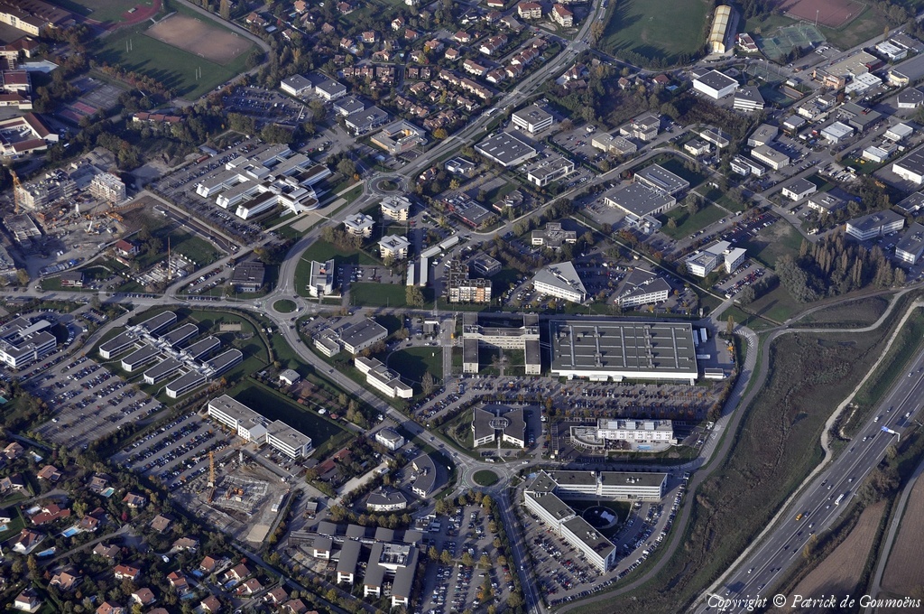
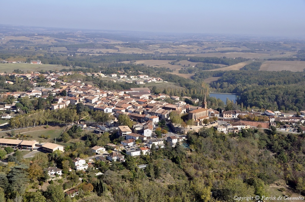
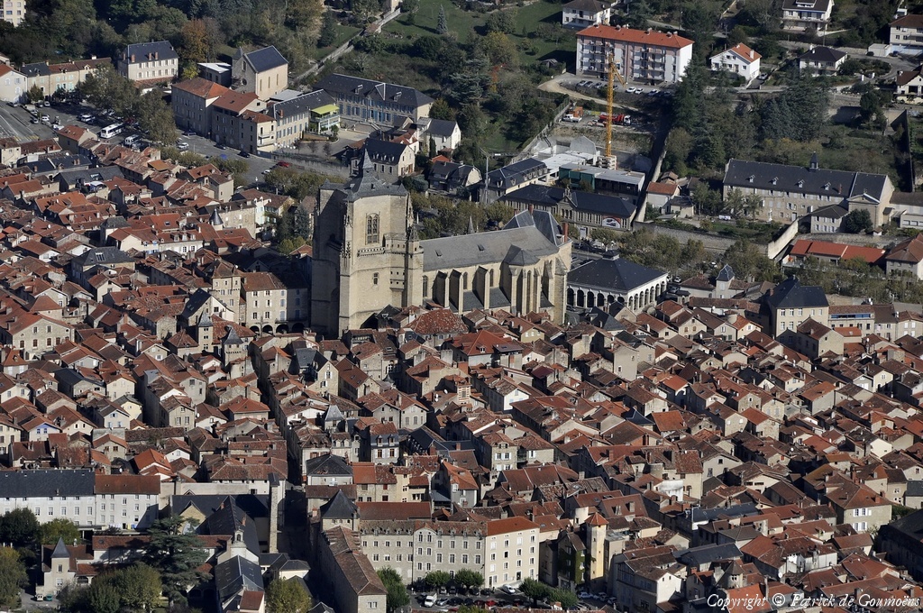
Pays :
France
Département :
Isère (38)
Lieu :
Montbonnot-Saint-Martin
Coord. GPS :
45 12 48 N 05 48 33 E
Photographe :
Patrick de Goumoëns
Prise le :
23/10/2012
Vue 2205 fois (
0.52 fois/jour
)
Affiner la recherche
-
Situer sur la carte
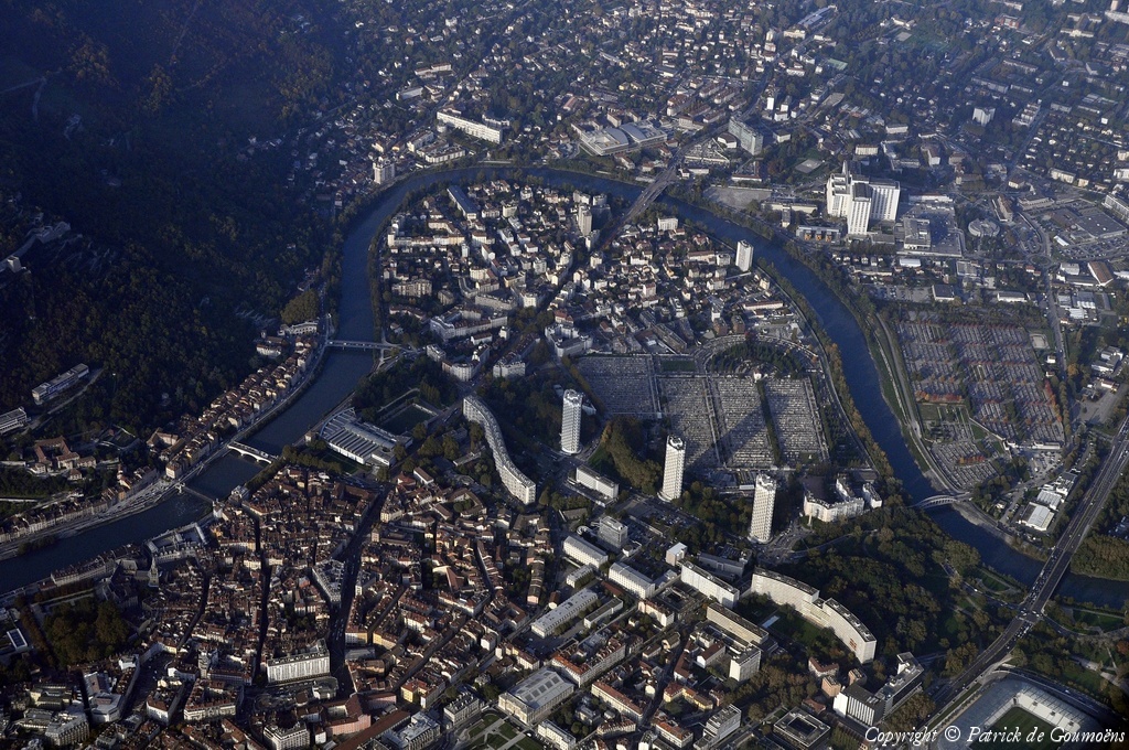
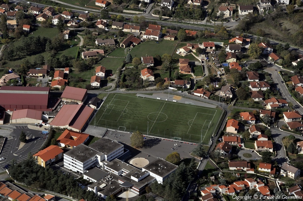
Pays :
France
Département :
Isère (38)
Lieu :
Grenoble
Coord. GPS :
45 11 32 N 05 44 55 E
Photographe :
Patrick de Goumoëns
Prise le :
23/10/2012
Vue 3589 fois (
0.85 fois/jour
)
Affiner la recherche
-
Situer sur la carte
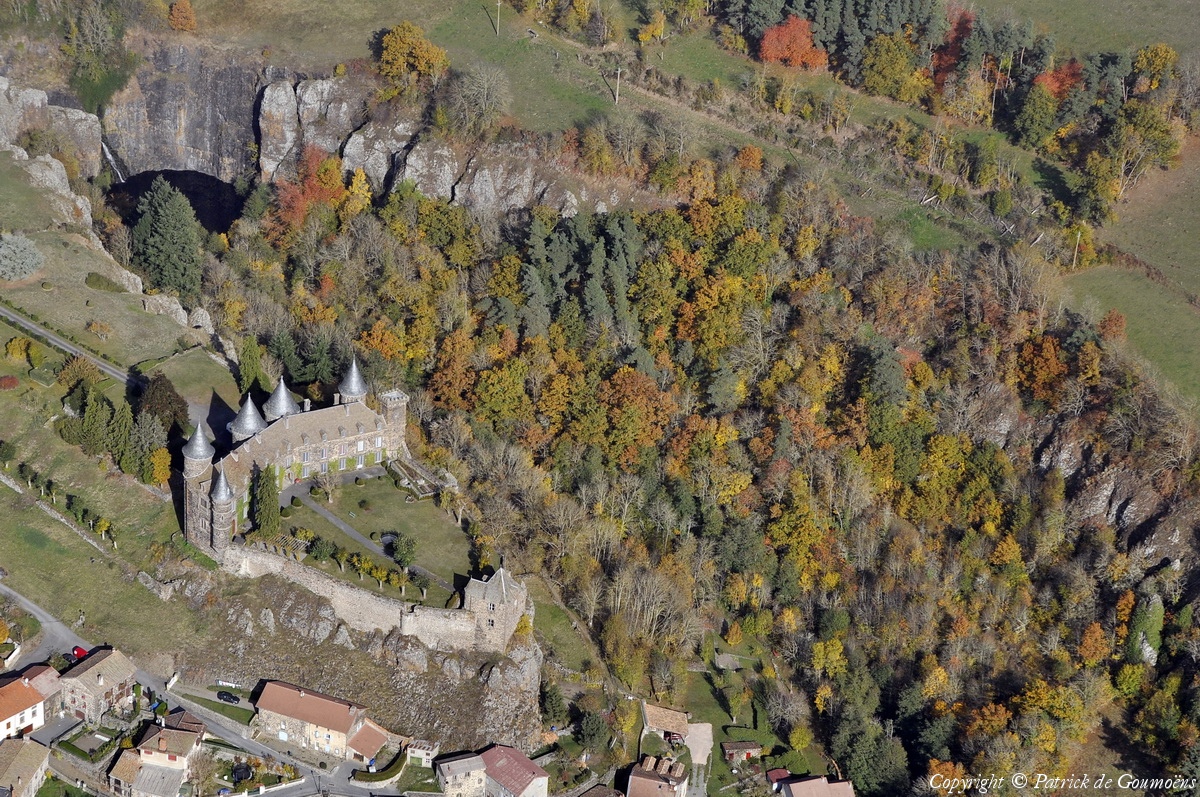
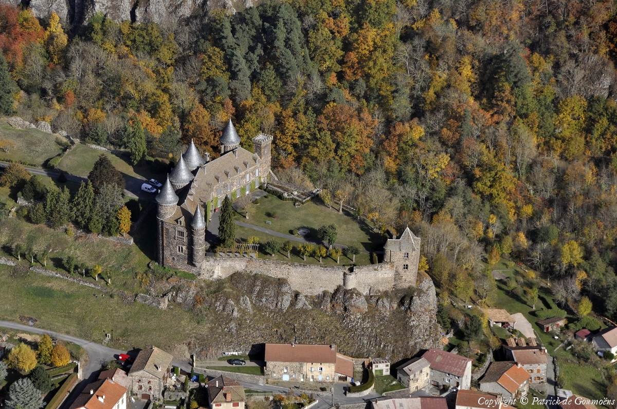
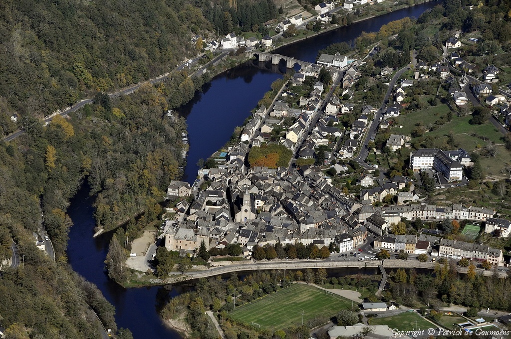
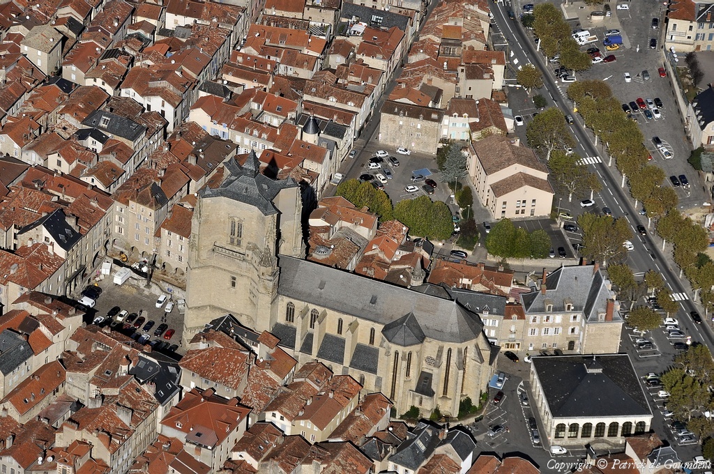
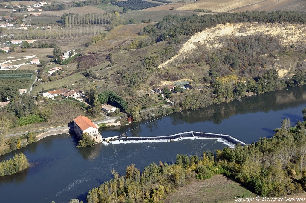
Pays :
France
Département :
Cantal (15)
Lieu :
Le Sailhant
Coord. GPS :
45 04 07 N 03 02 30 E
Photographe :
Patrick de Goumoëns
Prise le :
23/10/2012
Vue 3189 fois (
0.75 fois/jour
)
Affiner la recherche
-
Situer sur la carte
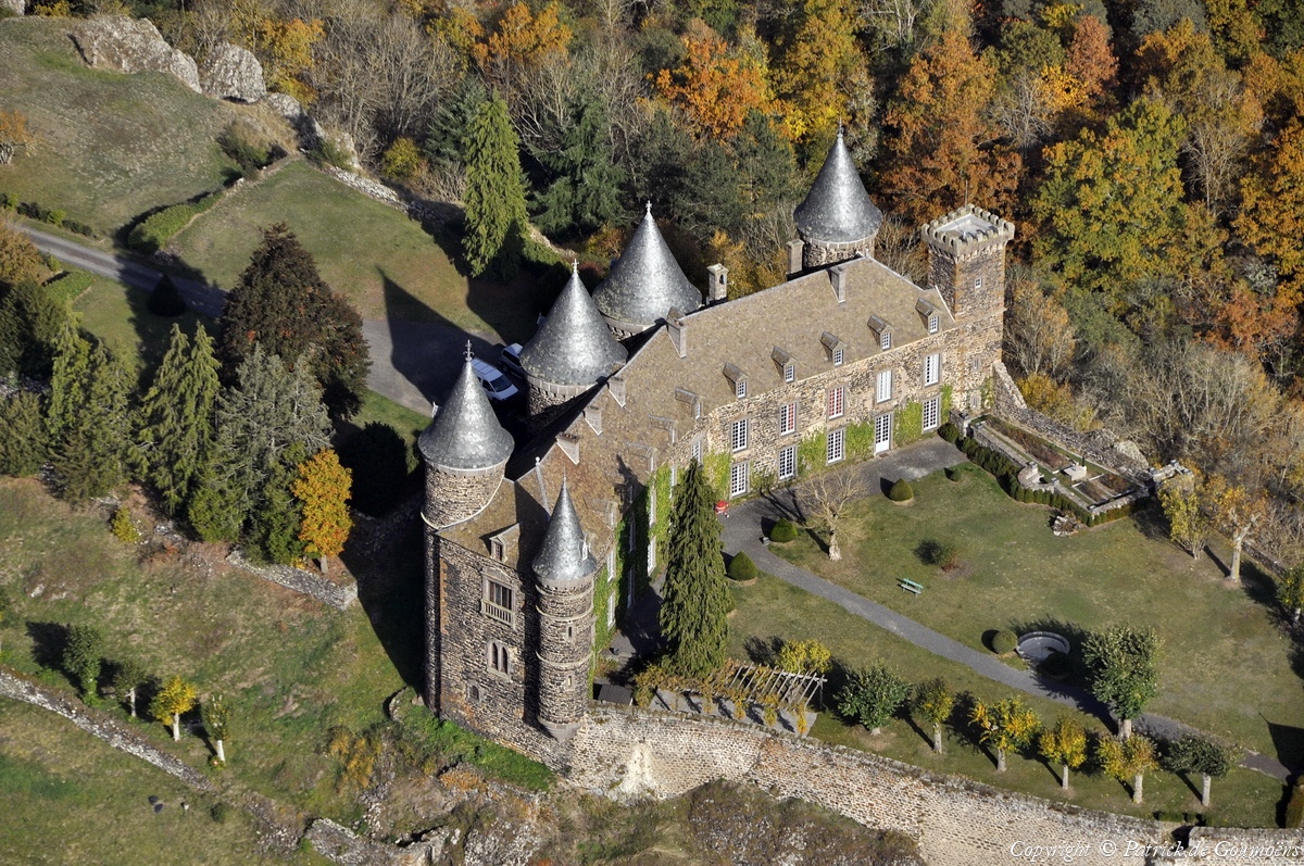
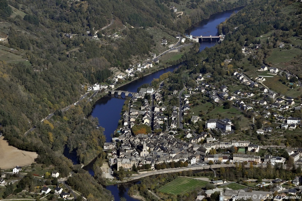
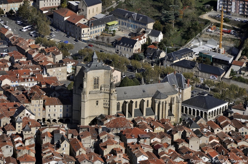
Pays :
France
Département :
Cantal (15)
Lieu :
Le Sailhant
Coord. GPS :
45 04 07 N 03 02 30 E
Photographe :
Patrick de Goumoëns
Prise le :
23/10/2012
Vue 3602 fois (
0.85 fois/jour
)
Affiner la recherche
-
Situer sur la carte
Pays :
France
Département :
Cantal (15)
Lieu :
Le Sailhant
Coord. GPS :
45 04 07 N 03 02 30 E
Photographe :
Patrick de Goumoëns
Prise le :
23/10/2012
Vue 3568 fois (
0.84 fois/jour
)
Affiner la recherche
-
Situer sur la carte
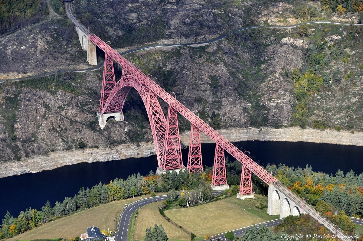
Pays :
France
Département :
Cantal (15)
Lieu :
Viaduc de Garabit
Coord. GPS :
44 58 30 N 03 10 40 E
Photographe :
Patrick de Goumoëns
Prise le :
23/10/2012
Vue 5147 fois (
1.22 fois/jour
)
Affiner la recherche
-
Situer sur la carte
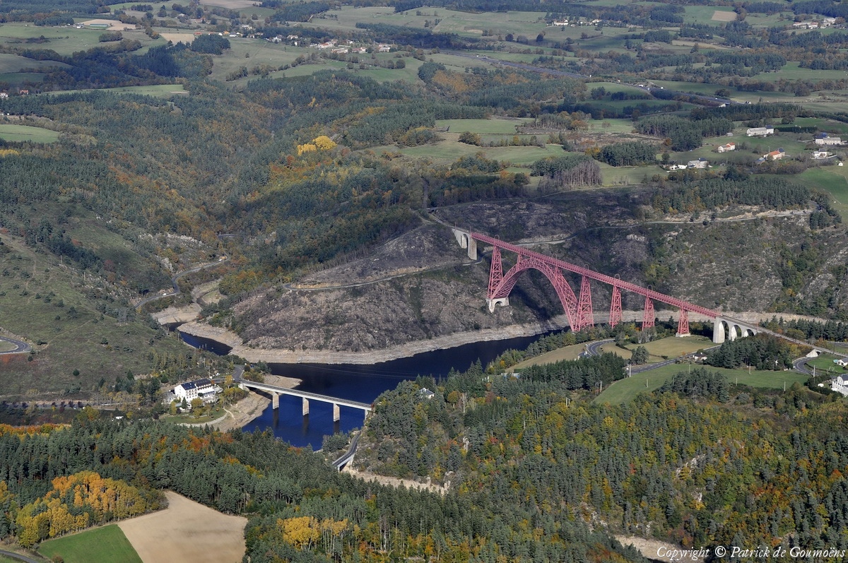
Pays :
France
Département :
Cantal (15)
Lieu :
Viaduc de Garabit
Coord. GPS :
44 58 30 N 03 10 40 E
Photographe :
Patrick de Goumoëns
Prise le :
23/10/2012
Vue 3870 fois (
0.92 fois/jour
)
Affiner la recherche
-
Situer sur la carte
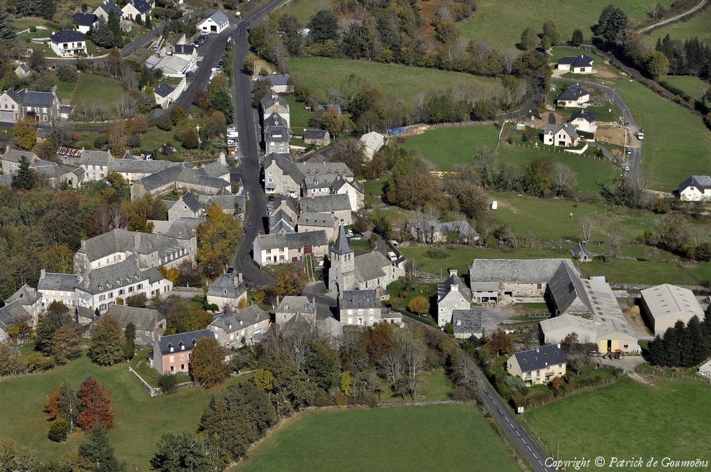
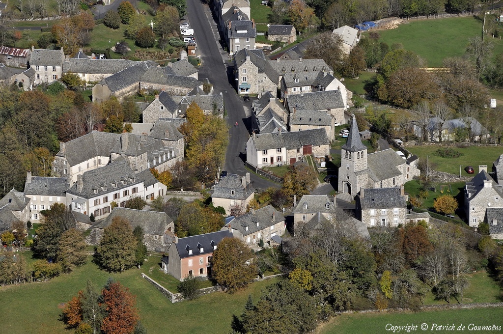
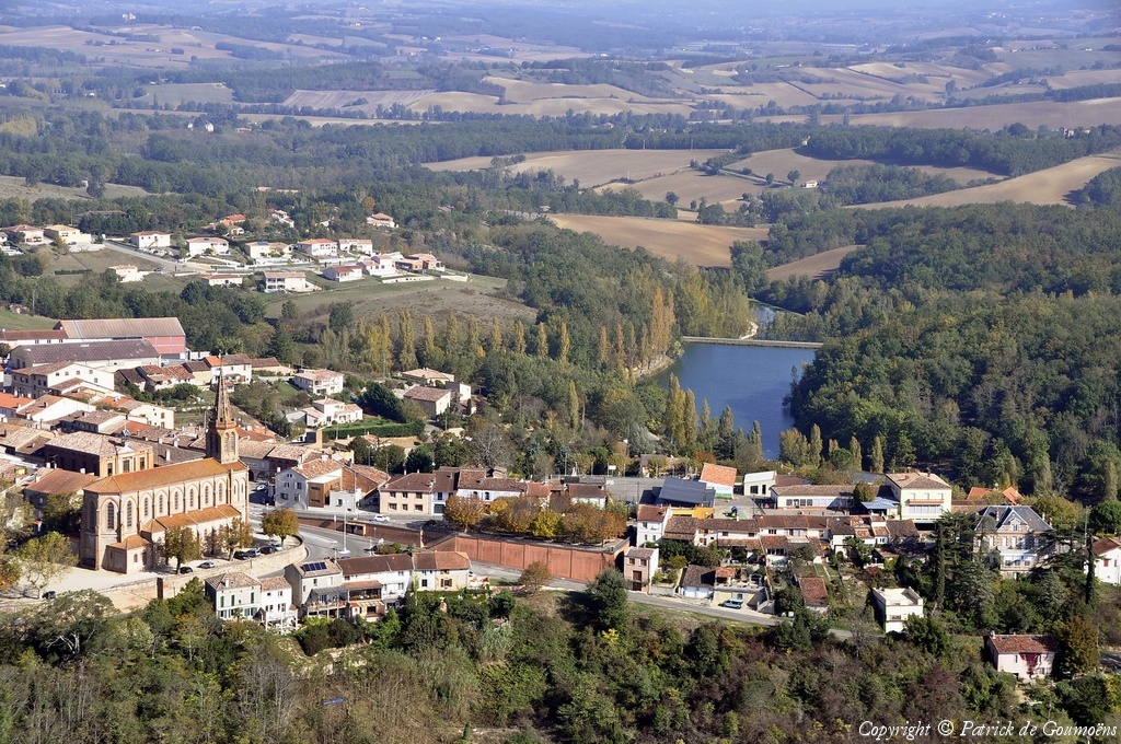
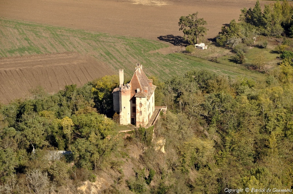
Pays :
France
Département :
Aveyron (12)
Lieu :
Huparlac
Coord. GPS :
44 42 44 N 02 45 41 E
Photographe :
Patrick de Goumoëns
Prise le :
23/10/2012
Vue 2374 fois (
0.56 fois/jour
)
Affiner la recherche
-
Situer sur la carte
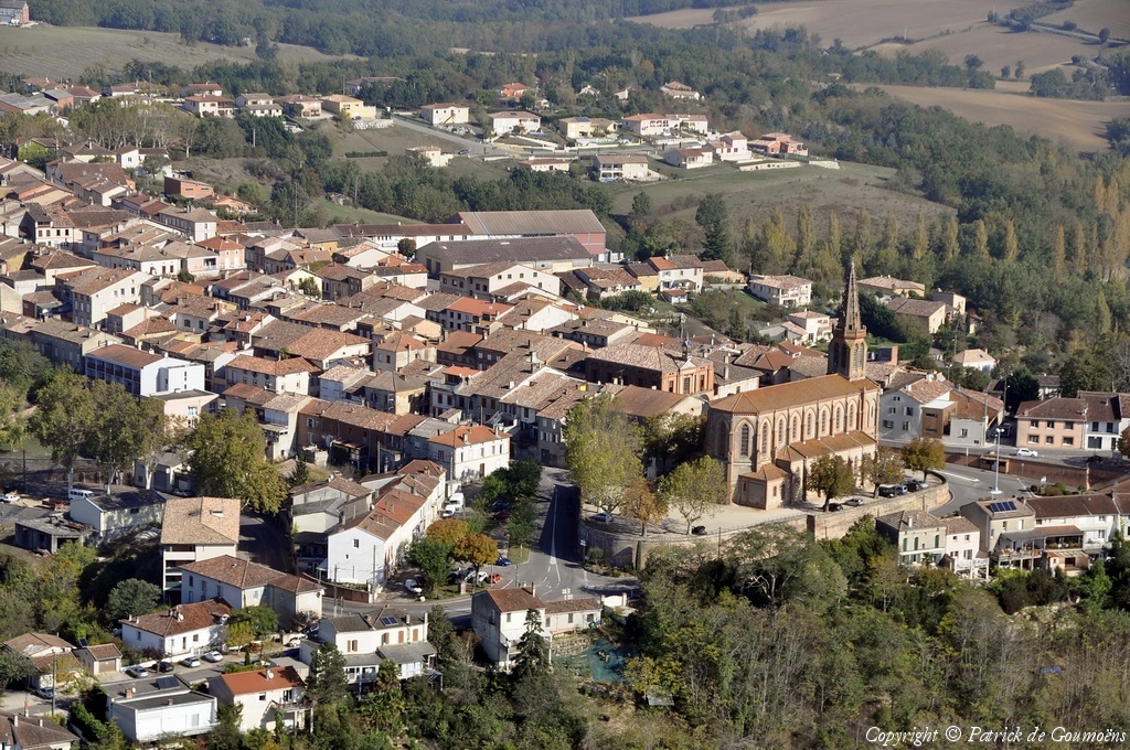
Pays :
France
Département :
Aveyron (12)
Lieu :
Huparlac
Coord. GPS :
44 42 44 N 02 45 41 E
Photographe :
Patrick de Goumoëns
Prise le :
23/10/2012
Vue 2390 fois (
0.56 fois/jour
)
Affiner la recherche
-
Situer sur la carte
Pays :
France
Département :
Aveyron (12)
Lieu :
Huparlac
Coord. GPS :
44 42 44 N 02 45 41 E
Photographe :
Patrick de Goumoëns
Prise le :
23/10/2012
Vue 2575 fois (
0.61 fois/jour
)
Affiner la recherche
-
Situer sur la carte
Pays :
France
Département :
Aveyron (12)
Lieu :
Huparlac
Coord. GPS :
44 42 44 N 02 45 41 E
Photographe :
Patrick de Goumoëns
Prise le :
23/10/2012
Vue 2350 fois (
0.56 fois/jour
)
Affiner la recherche
-
Situer sur la carte
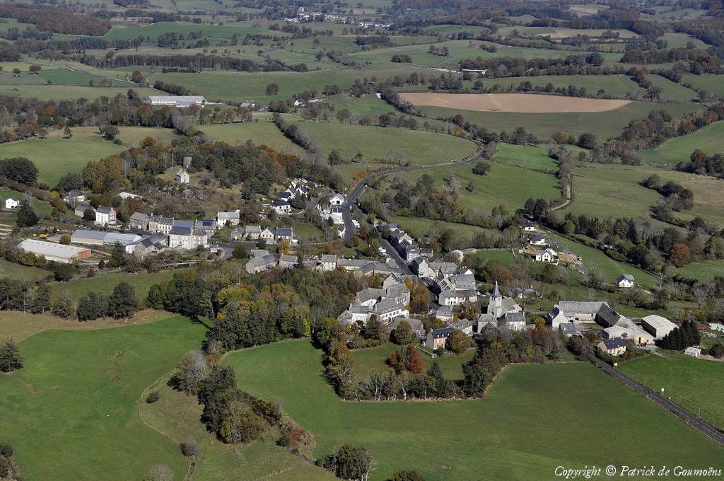
Pays :
France
Département :
Aveyron (12)
Lieu :
Lacalm
Coord. GPS :
44 46 22 N 02 52 57 E
Photographe :
Patrick de Goumoëns
Prise le :
23/10/2012
Vue 2898 fois (
0.68 fois/jour
)
Affiner la recherche
-
Situer sur la carte
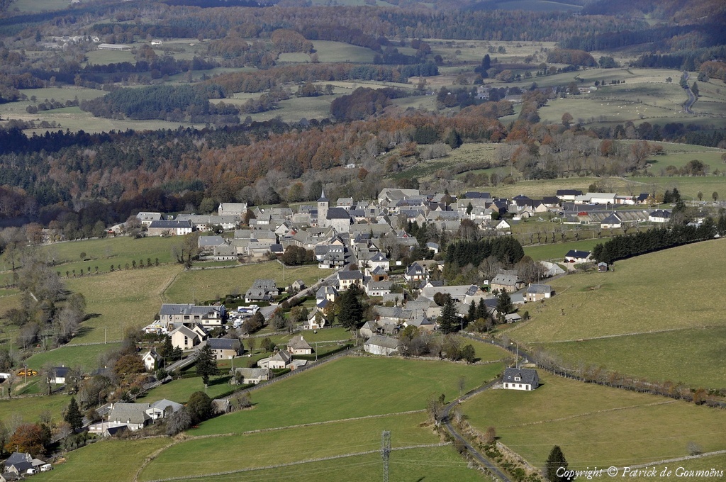
Pays :
France
Département :
Aveyron (12)
Lieu :
Entraygues-sur-Truyère
Coord. GPS :
44 39 16 N 02 34 26 E
Photographe :
Patrick de Goumoëns
Prise le :
23/10/2012
Vue 2747 fois (
0.65 fois/jour
)
Affiner la recherche
-
Situer sur la carte
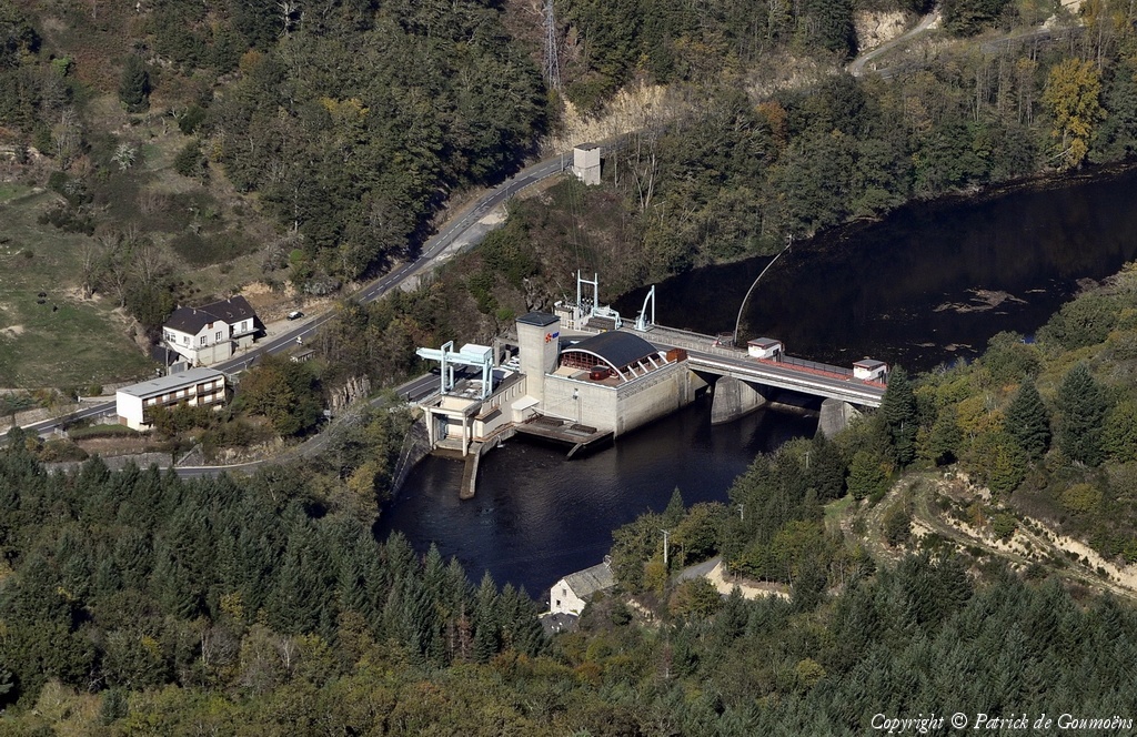
Pays :
France
Département :
Aveyron (12)
Lieu :
Entraygues-sur-Truyère
Coord. GPS :
44 38 41 N 02 33 50 E
Photographe :
Patrick de Goumoëns
Prise le :
23/10/2012
Vue 2696 fois (
0.64 fois/jour
)
Affiner la recherche
-
Situer sur la carte
Pays :
France
Département :
Aveyron (12)
Lieu :
Entraygues-sur-Truyère
Coord. GPS :
44 38 41 N 02 33 50 E
Photographe :
Patrick de Goumoëns
Prise le :
23/10/2012
Vue 2527 fois (
0.60 fois/jour
)
Affiner la recherche
-
Situer sur la carte
Pays :
France
Département :
Tarn-et-Garonne (82)
Lieu :
Lafrançaise
Coord. GPS :
44 07 39 N 01 14 27 E
Photographe :
Patrick de Goumoëns
Prise le :
23/10/2012
Vue 2227 fois (
0.53 fois/jour
)
Affiner la recherche
-
Situer sur la carte
Pays :
France
Département :
Tarn-et-Garonne (82)
Lieu :
Lafrançaise
Coord. GPS :
44 07 39 N 01 14 27 E
Photographe :
Patrick de Goumoëns
Prise le :
23/10/2012
Vue 2378 fois (
0.56 fois/jour
)
Affiner la recherche
-
Situer sur la carte
Pays :
France
Département :
Tarn-et-Garonne (82)
Lieu :
Lafrançaise
Coord. GPS :
44 07 39 N 01 14 27 E
Photographe :
Patrick de Goumoëns
Prise le :
23/10/2012
Vue 2377 fois (
0.56 fois/jour
)
Affiner la recherche
-
Situer sur la carte
Pays :
France
Département :
Isère (38)
Lieu :
Autrans
Coord. GPS :
45 07 40 N 05 31 35 E
Photographe :
Patrick de Goumoëns
Prise le :
23/10/2012
Vue 2857 fois (
0.67 fois/jour
)
Affiner la recherche
-
Situer sur la carte
Pays :
France
Département :
Aveyron (12)
Lieu :
Villefranche-de-Rouergue
Coord. GPS :
44 21 12 N 02 02 06 E
Photographe :
Patrick de Goumoëns
Prise le :
23/10/2012
Vue 2219 fois (
0.52 fois/jour
)
Affiner la recherche
-
Situer sur la carte
1
2
Page suivante
Dernière page
Droits réservés - Copyright ©
Survol de France
Site en ligne depuis le 28 octobre 2004
780 visiteurs en ligne
-
2510 visiteurs aujourd'hui
Information sur la confidentialité
-
Mentions légales
Mesure d'audience ROI frequentation par


