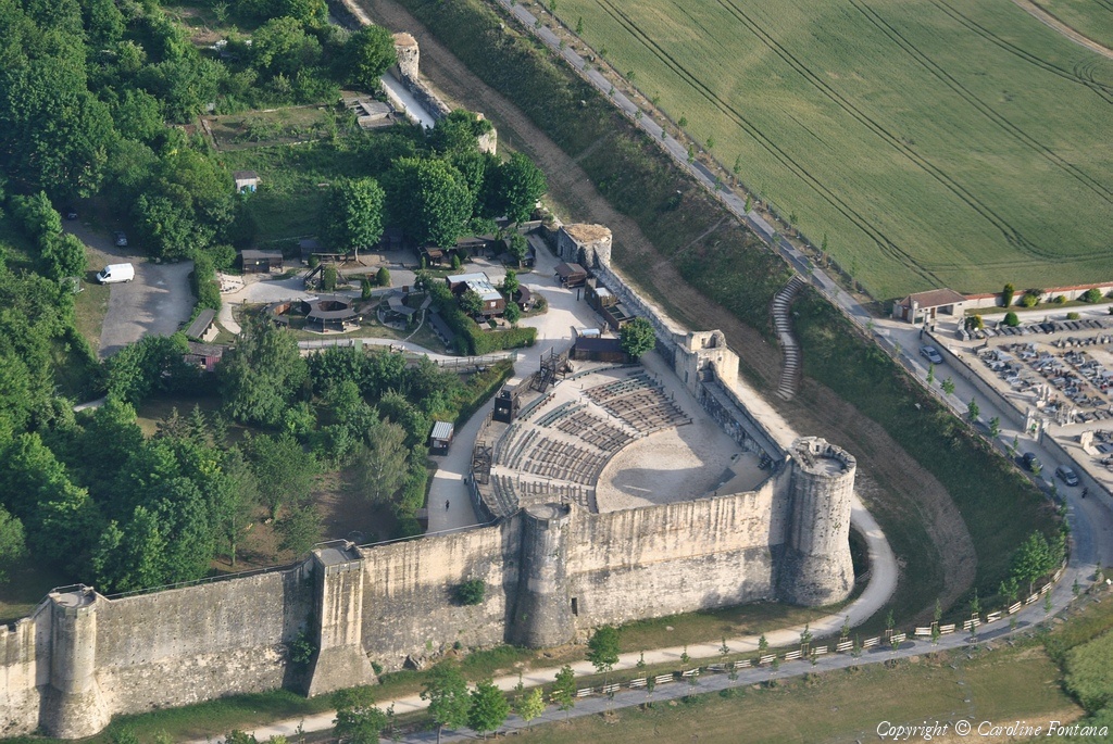
Vous devez activer Javascript pour pouvoir afficher correctement cette page !
Accueil / Recherche
|
Les photos en France
|
Les photos des autres pays
|
Envoyer vos photos
|
Le TOP 20
Conditions d'utilisation
|
Google Maps
|
Formulaire de contact
|
Nouvelles photos ajoutées
|
Newsletter
Publicité :
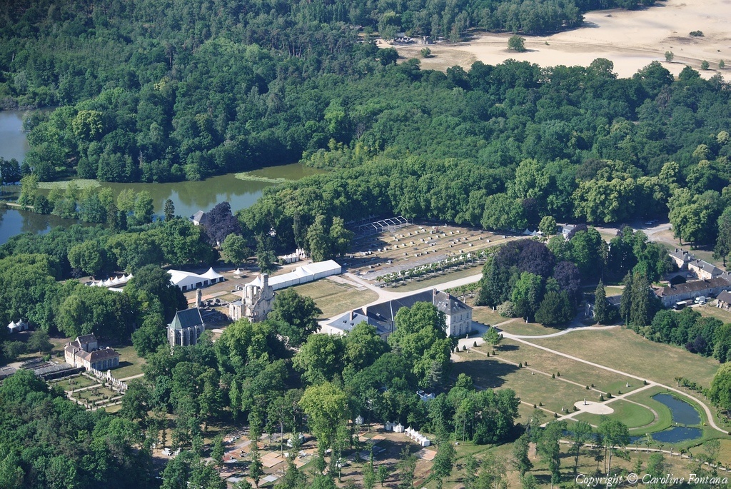
Nombre de photo(s) :
187
Lancer le
diaporama
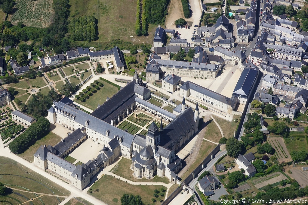
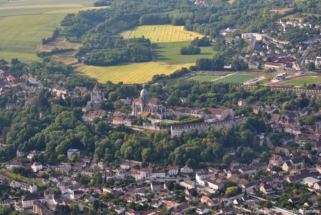
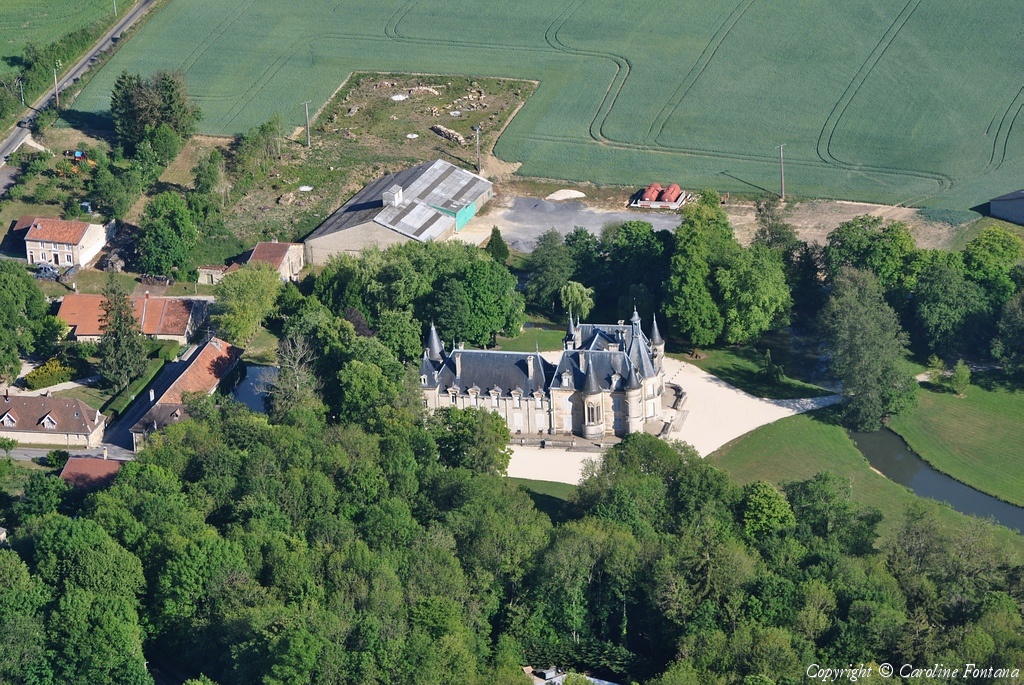
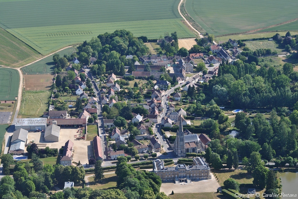
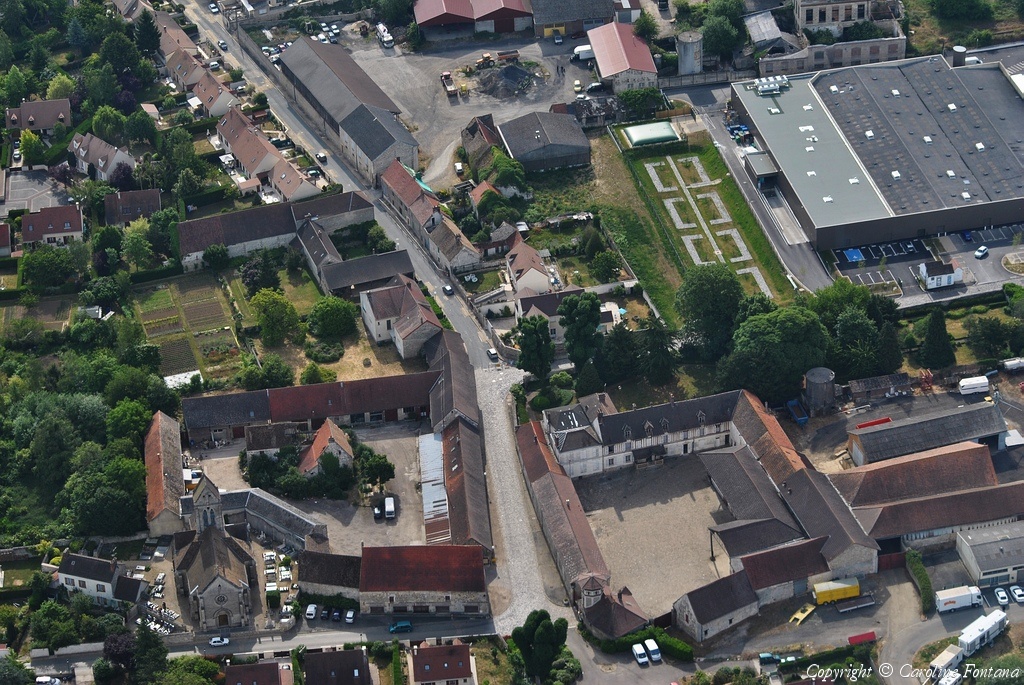
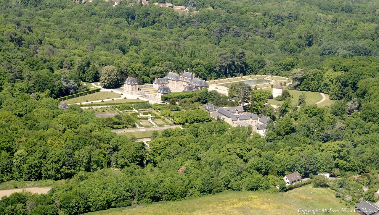
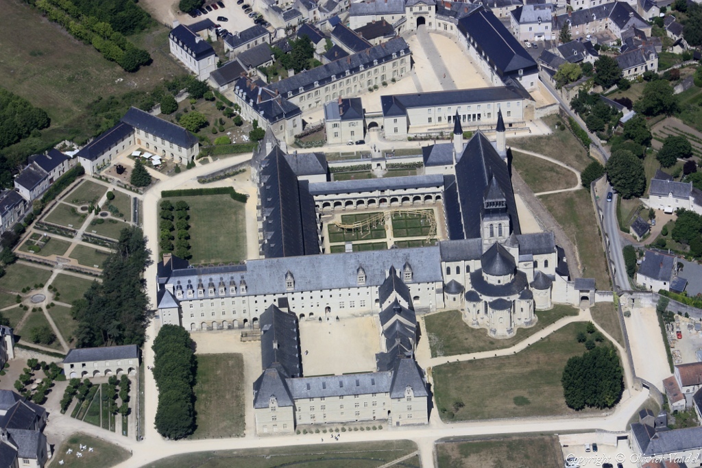
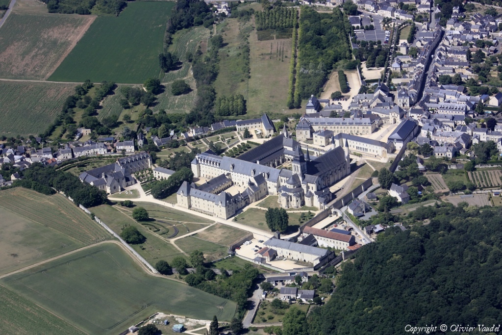
Pays :
France
Département :
Maine-et-Loire (49)
Lieu :
Fontevraud-l'Abbaye
Coord. GPS :
47 10 53 N 00 03 07 E
Photographe :
Benoit Marembert
Prise le :
29/05/2011
Vue 3173 fois (
0.89 fois/jour
)
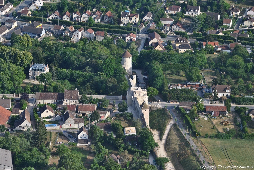
Affiner la recherche
-
Situer sur la carte
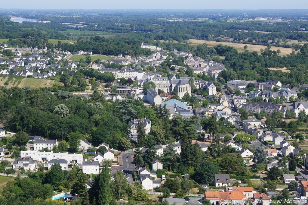
Pays :
France
Département :
Maine-et-Loire (49)
Lieu :
Fontevraud-l'Abbaye
Coord. GPS :
47 10 53 N 00 03 07 E
Photographe :
Benoit Marembert
Prise le :
29/05/2011
Vue 2373 fois (
0.66 fois/jour
)
Affiner la recherche
-
Situer sur la carte
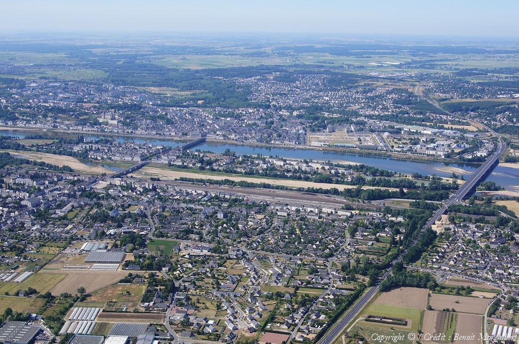
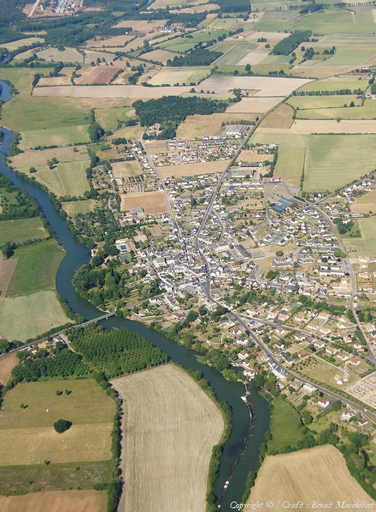
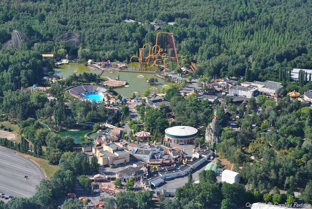
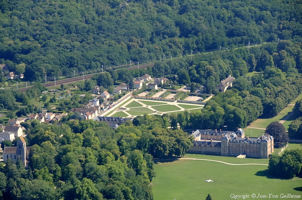
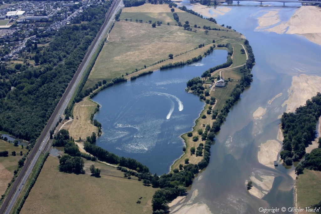
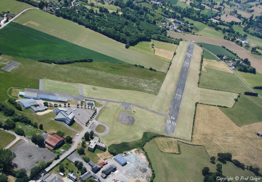
Pays :
France
Département :
Maine-et-Loire (49)
Lieu :
Saumur
Coord. GPS :
47 15 50 N 00 06 04 W
Photographe :
Benoit Marembert
Prise le :
29/05/2011
Vue 2153 fois (
0.60 fois/jour
)
Affiner la recherche
-
Situer sur la carte
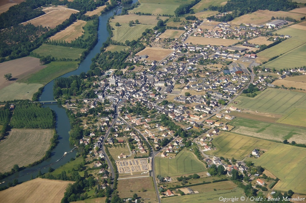
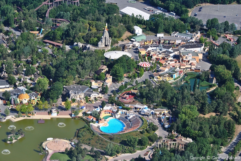
Pays :
France
Département :
Maine-et-Loire (49)
Lieu :
Saumur
Coord. GPS :
47 15 36 N 00 04 37 W
Photographe :
Benoit Marembert
Prise le :
29/05/2011
Vue 2500 fois (
0.70 fois/jour
)
Affiner la recherche
-
Situer sur la carte
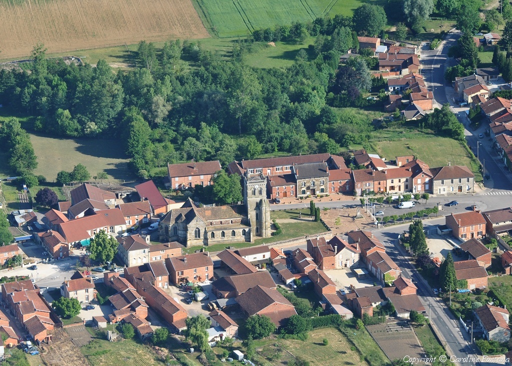
Pays :
France
Département :
Maine-et-Loire (49)
Lieu :
Varrains
Coord. GPS :
47 13 17 N 00 03 38 W
Photographe :
Benoit Marembert
Prise le :
29/05/2011
Vue 2068 fois (
0.58 fois/jour
)
Affiner la recherche
-
Situer sur la carte
Pays :
France
Département :
Maine-et-Loire (49)
Lieu :
Saumur
Coord. GPS :
47 15 36 N 00 04 37 W
Photographe :
Benoit Marembert
Prise le :
29/05/2011
Vue 2373 fois (
0.66 fois/jour
)
Affiner la recherche
-
Situer sur la carte
Pays :
France
Département :
Maine-et-Loire (49)
Lieu :
Saumur
Coord. GPS :
47 15 36 N 00 04 37 W
Photographe :
Benoit Marembert
Prise le :
29/05/2011
Vue 2210 fois (
0.62 fois/jour
)
Affiner la recherche
-
Situer sur la carte
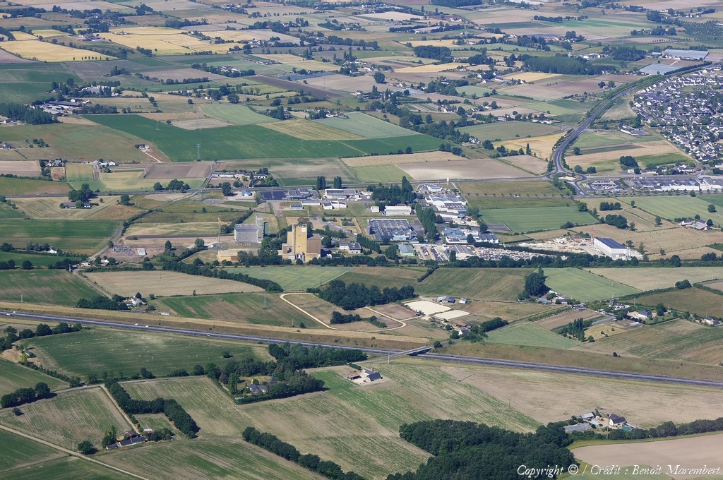
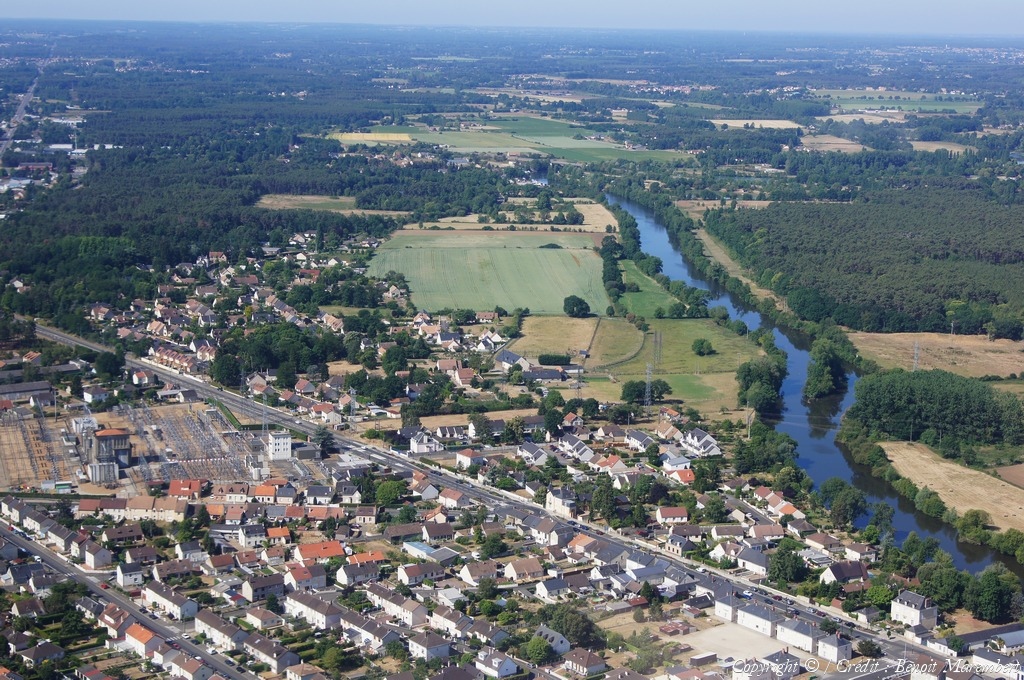
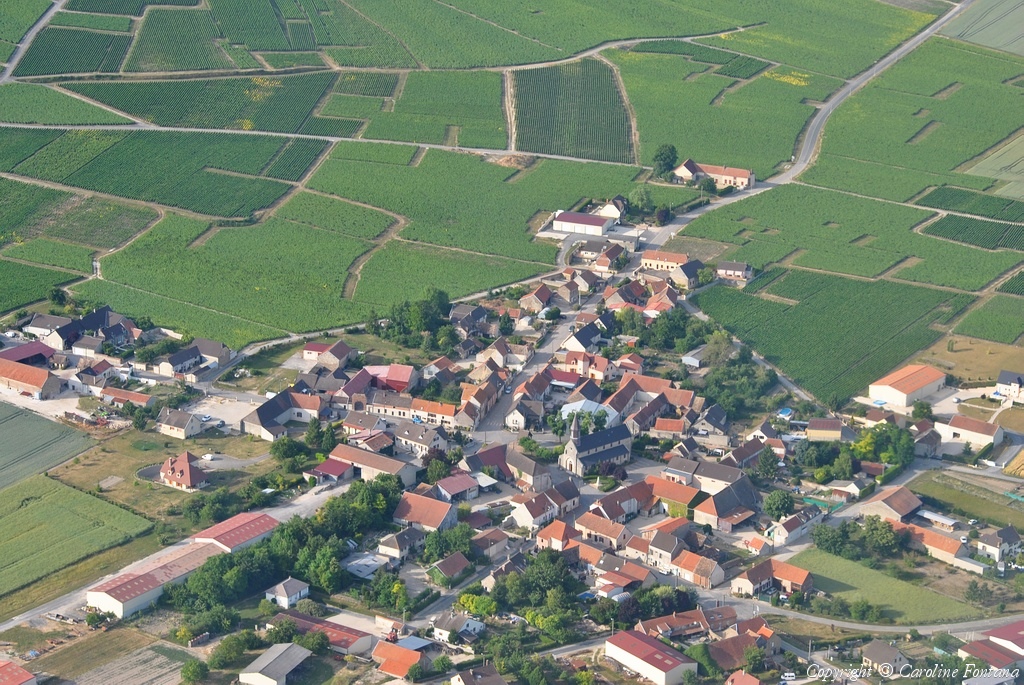
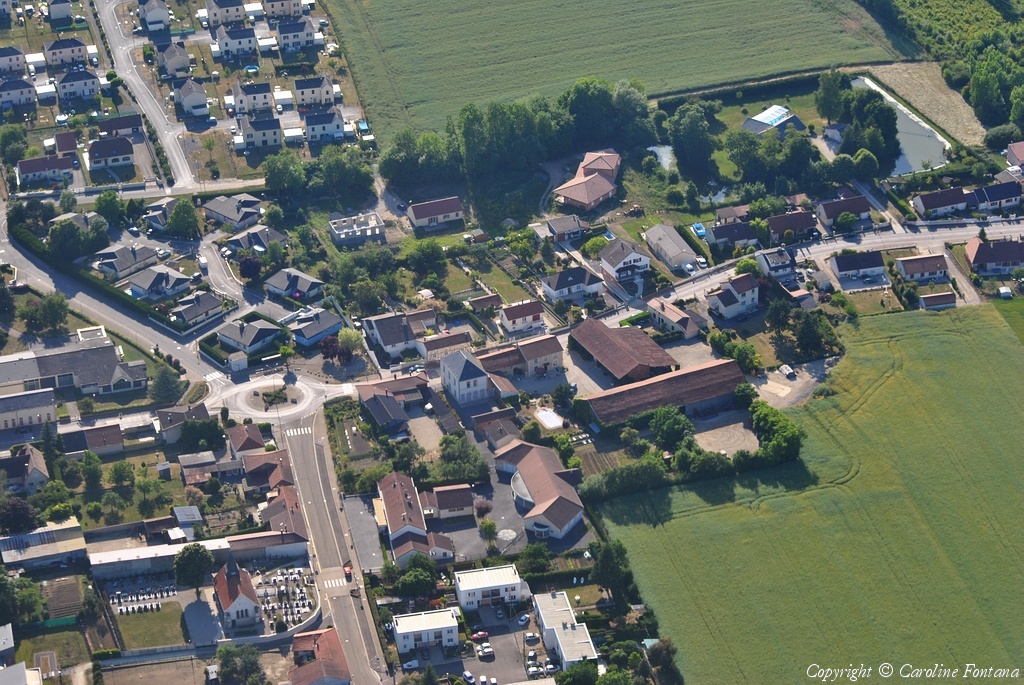
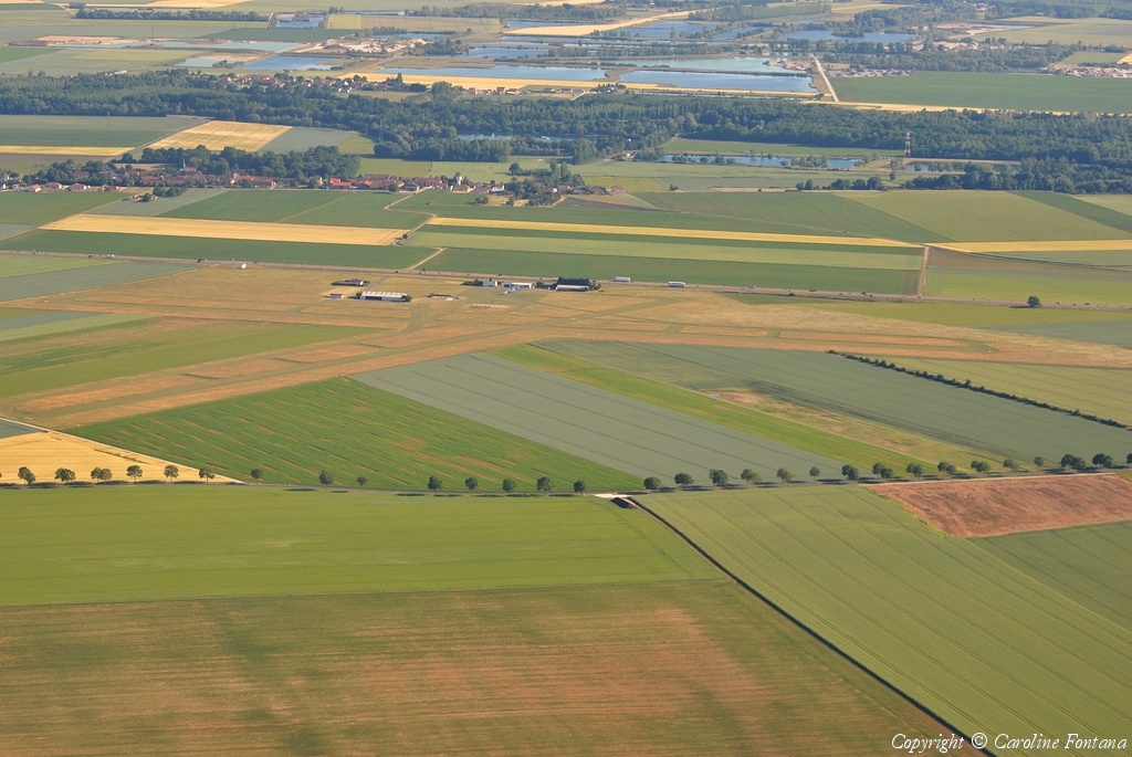
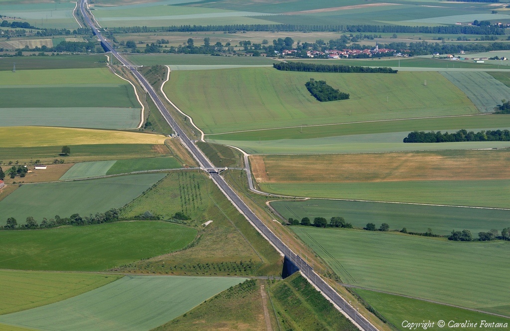
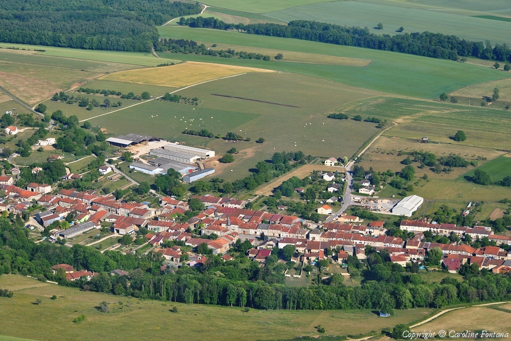
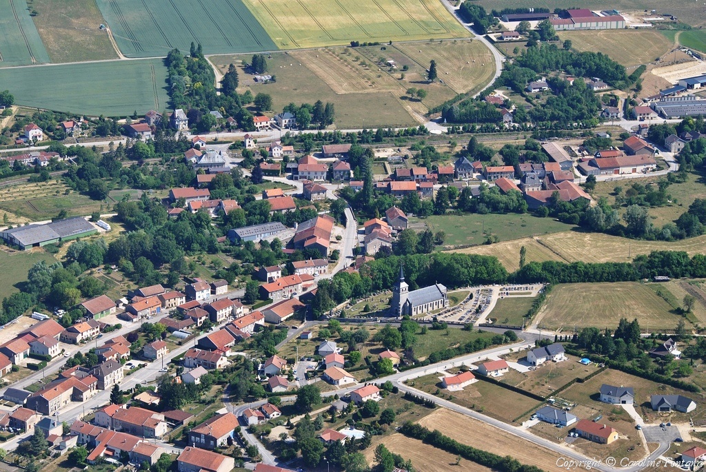
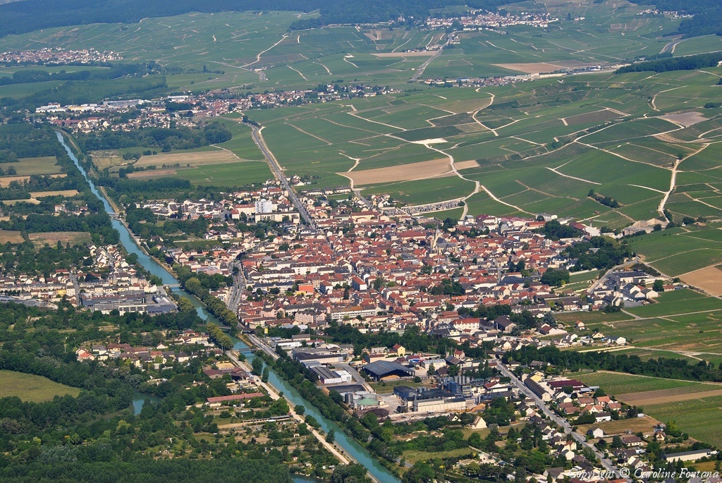
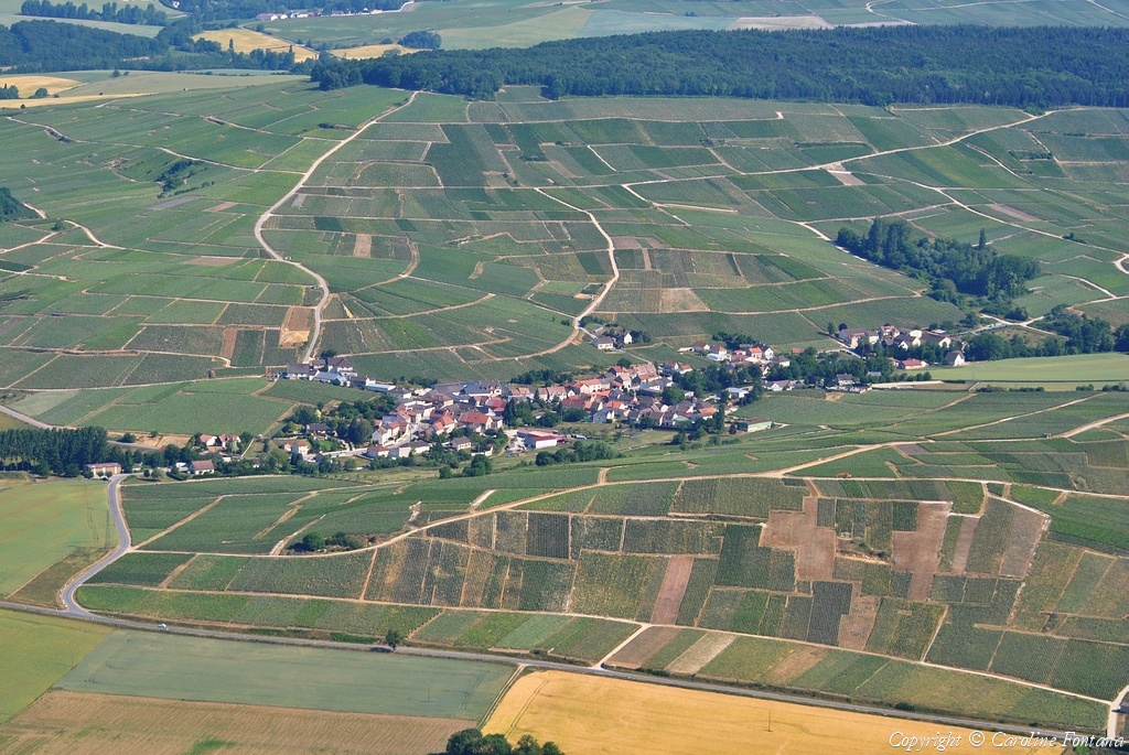
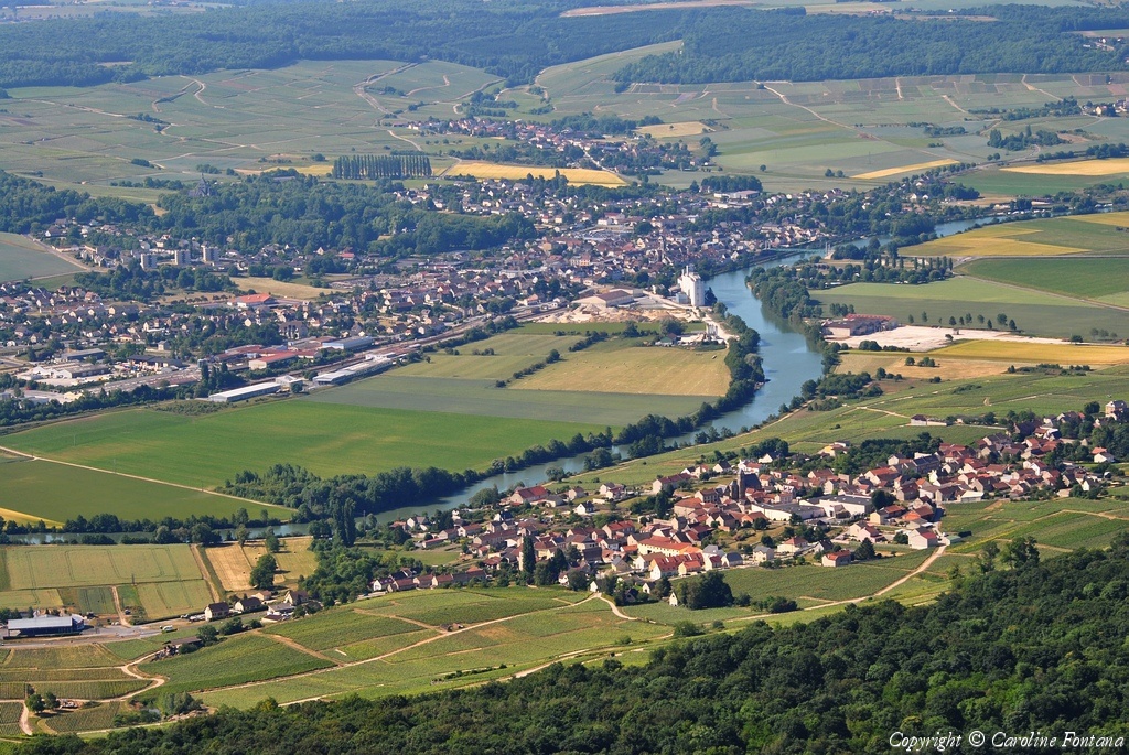
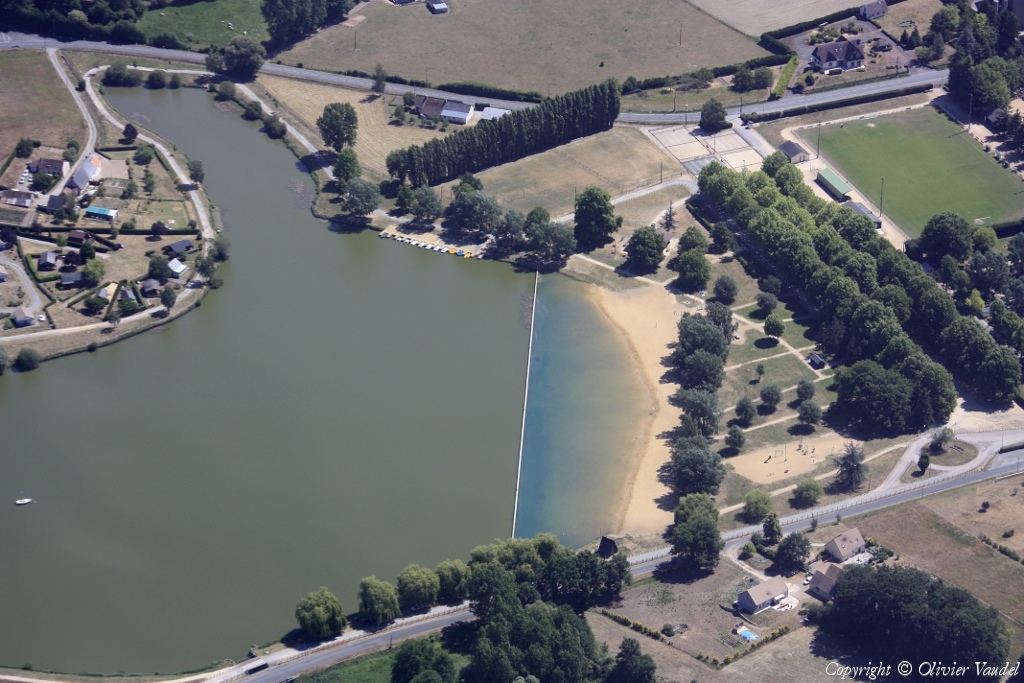
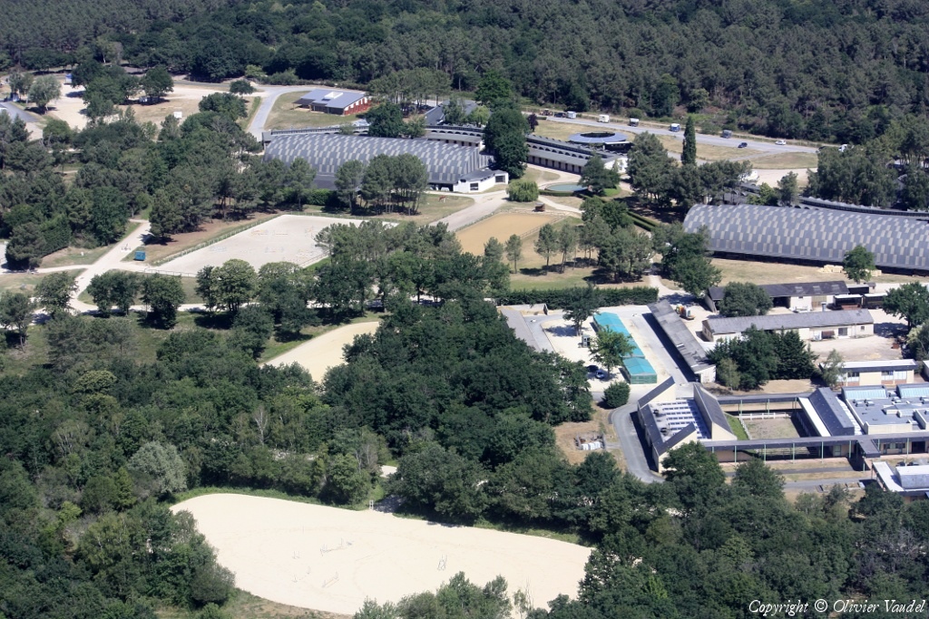
Pays :
France
Département :
Maine-et-Loire (49)
Lieu :
Longué-Jumelles
Coord. GPS :
47 22 03 N 00 05 19 W
Photographe :
Benoit Marembert
Prise le :
29/05/2011
Vue 2471 fois (
0.69 fois/jour
)
Affiner la recherche
-
Situer sur la carte
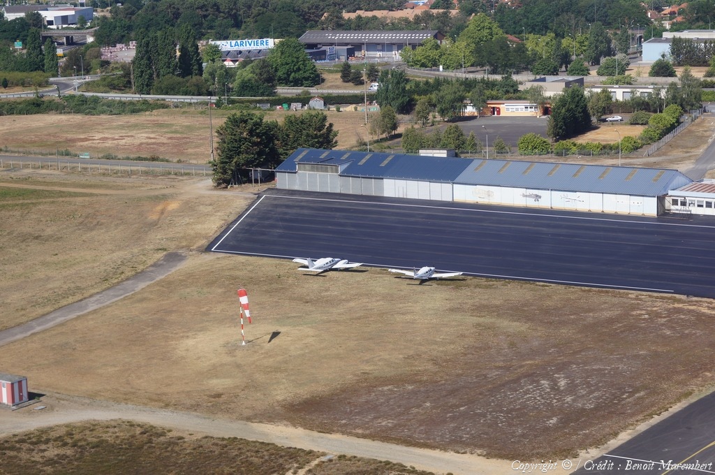
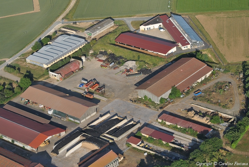
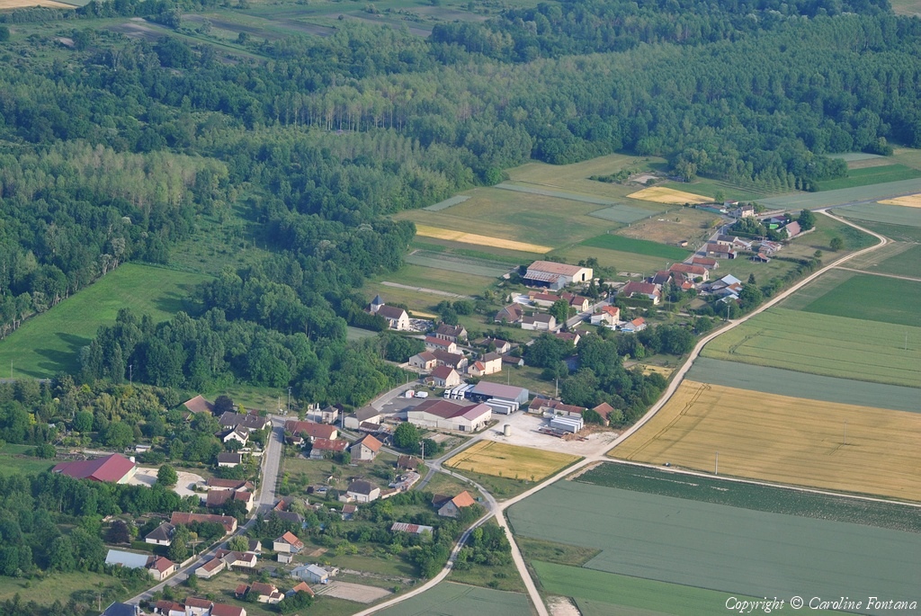
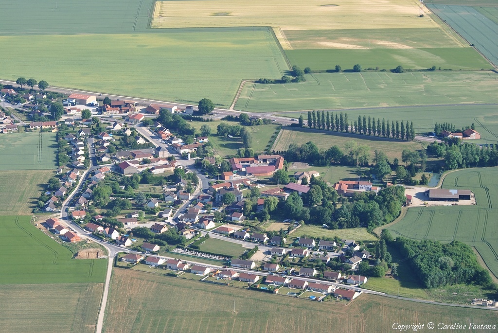
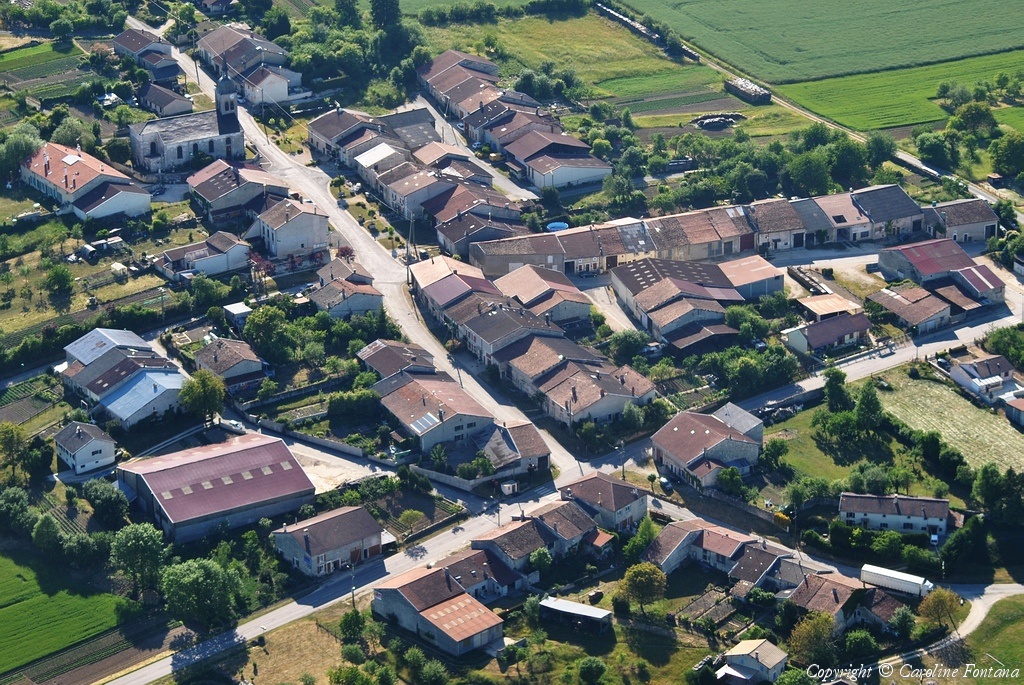
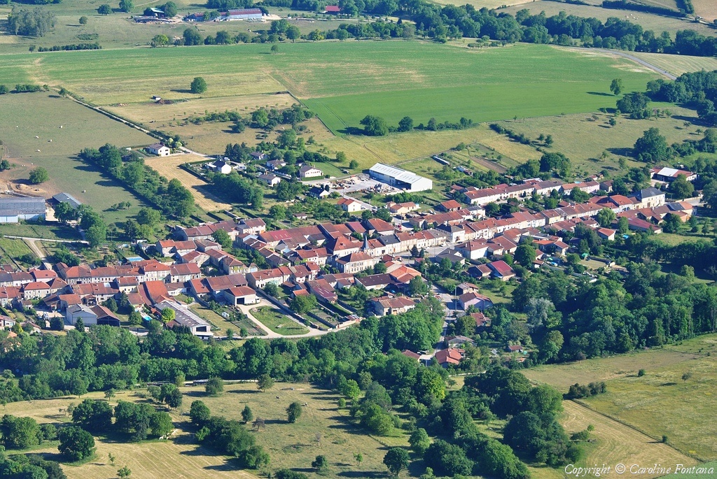
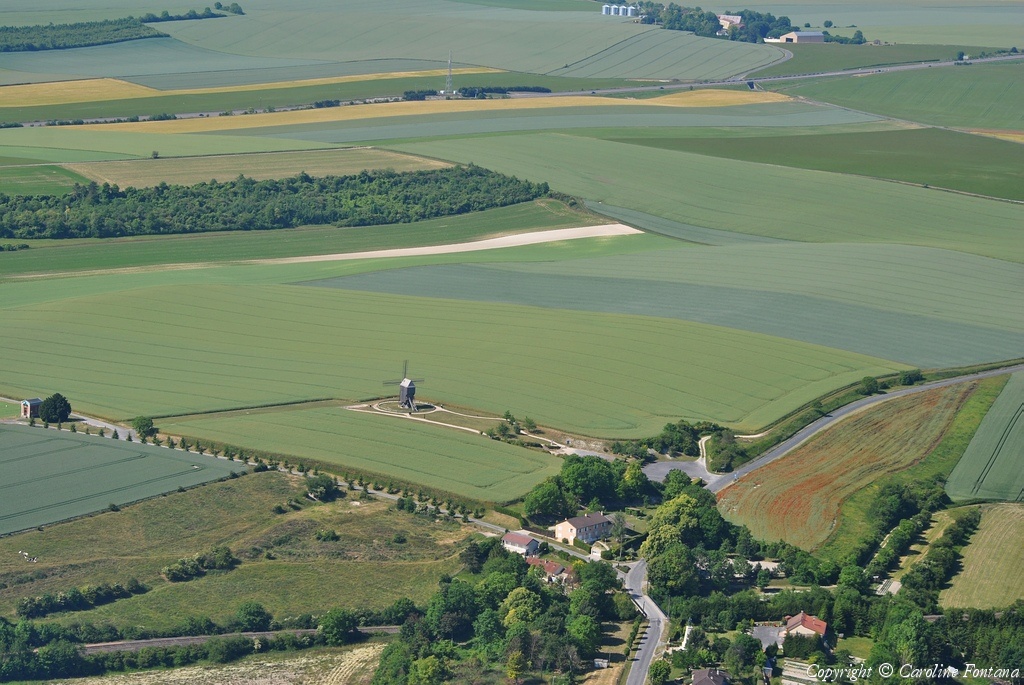
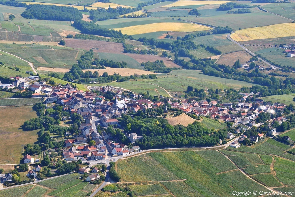
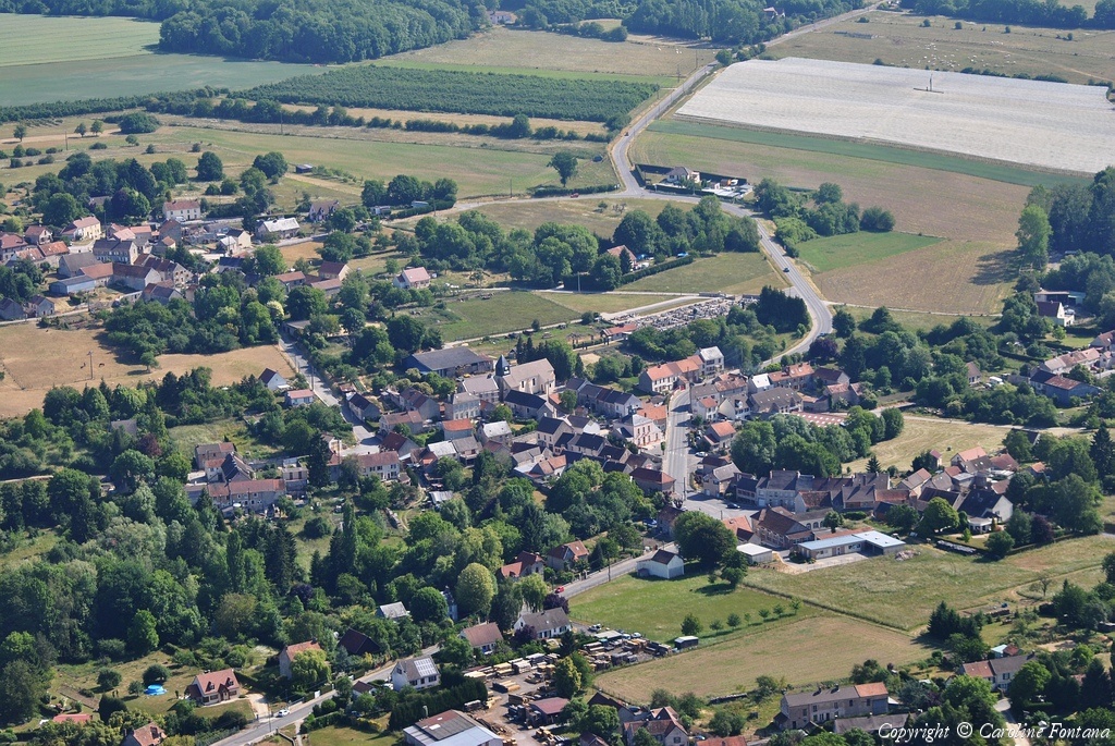
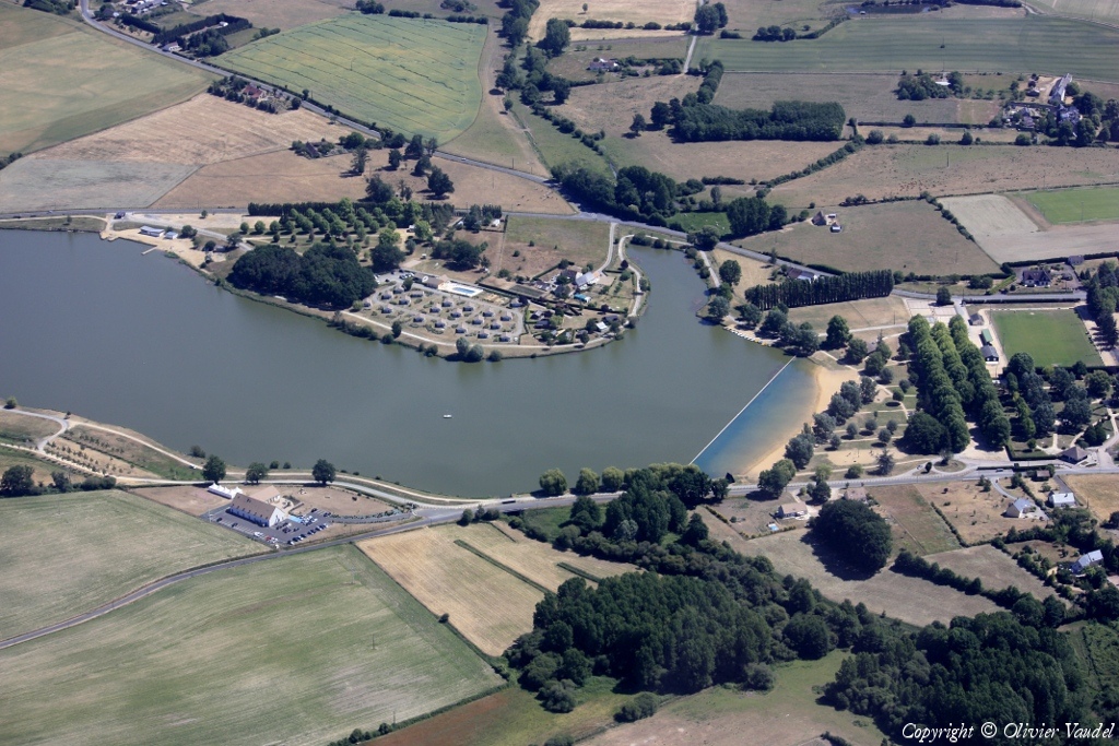
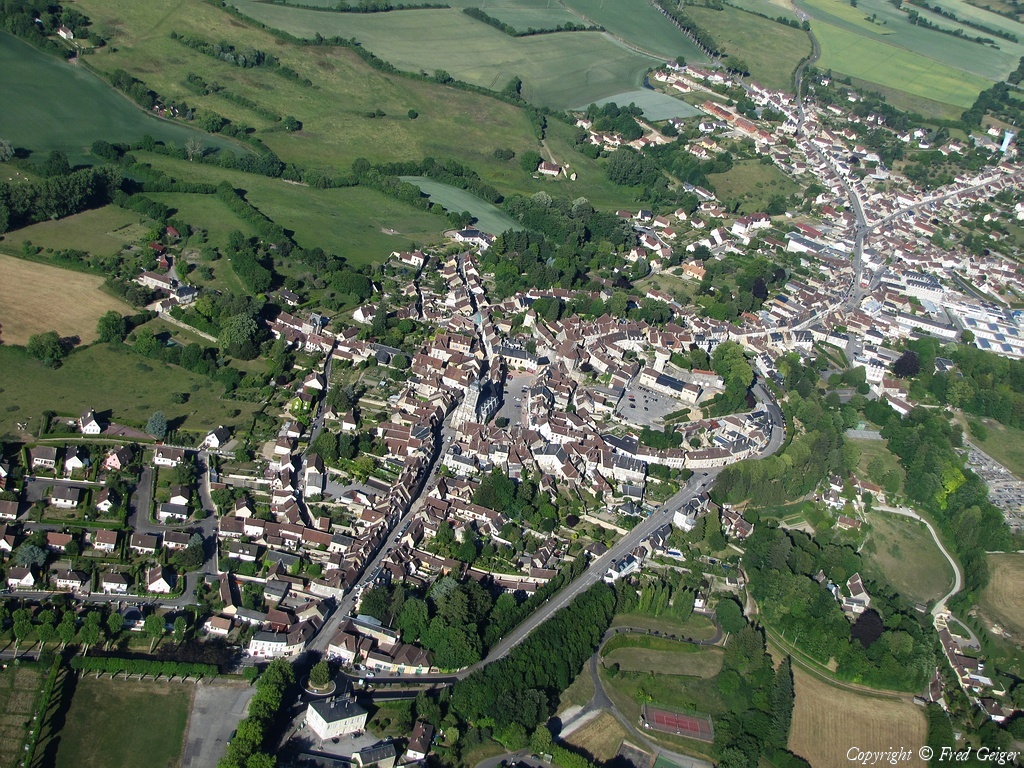
Pays :
France
Département :
Sarthe (72)
Lieu :
Thorée-les-Pins
Coord. GPS :
47 39 42 N 00 03 34 E
Photographe :
Benoit Marembert
Prise le :
29/05/2011
Vue 1782 fois (
0.50 fois/jour
)
Affiner la recherche
-
Situer sur la carte
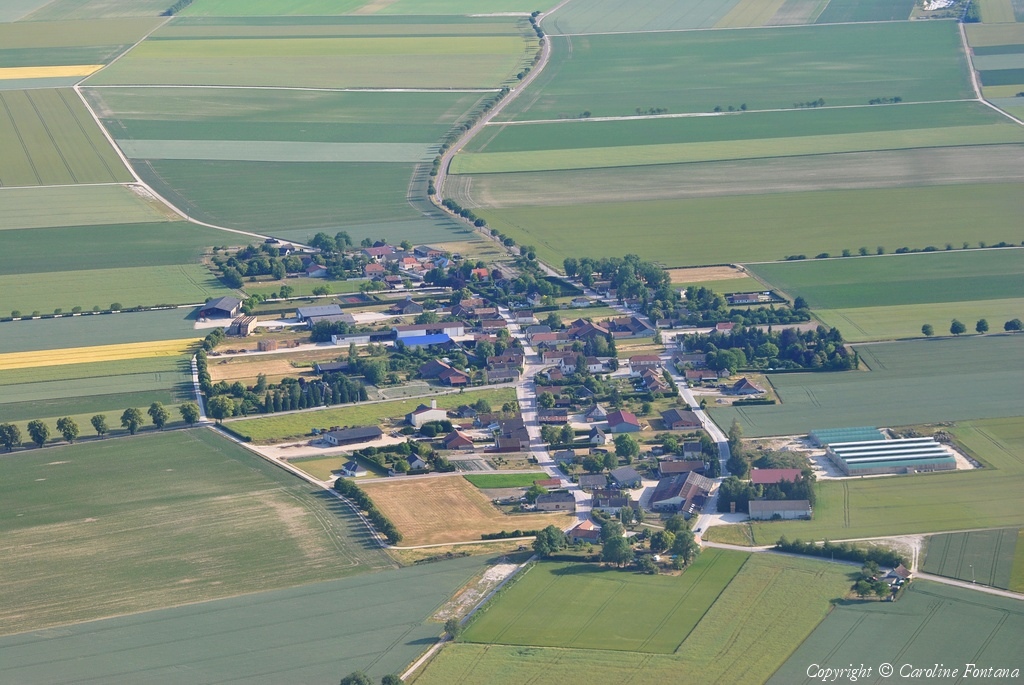
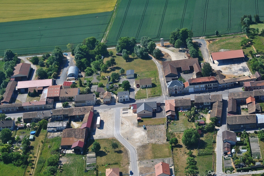
Pays :
France
Département :
Sarthe (72)
Lieu :
Thorée-les-Pins
Coord. GPS :
47 40 33 N 00 04 03 E
Photographe :
Benoit Marembert
Prise le :
29/05/2011
Vue 2150 fois (
0.60 fois/jour
)
Affiner la recherche
-
Situer sur la carte
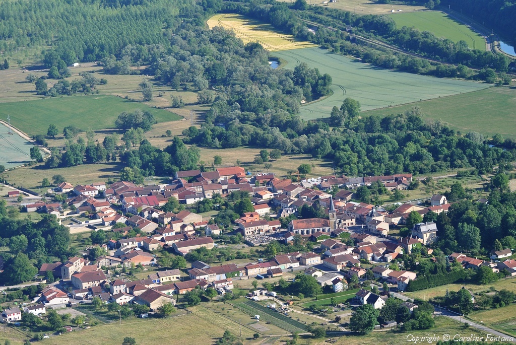
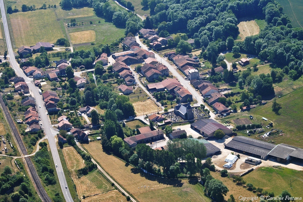
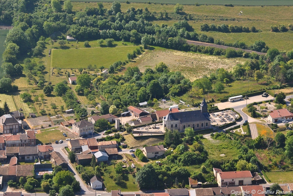
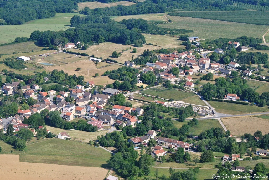
Pays :
France
Département :
Sarthe (72)
Lieu :
Luché-Pringé
Coord. GPS :
47 42 14 N 00 04 33 E
Photographe :
Benoit Marembert
Prise le :
29/05/2011
Vue 1774 fois (
0.50 fois/jour
)
Affiner la recherche
-
Situer sur la carte
Pays :
France
Département :
Sarthe (72)
Lieu :
Luché-Pringé
Coord. GPS :
47 42 14 N 00 04 33 E
Photographe :
Benoit Marembert
Prise le :
29/05/2011
Vue 1976 fois (
0.55 fois/jour
)
Affiner la recherche
-
Situer sur la carte
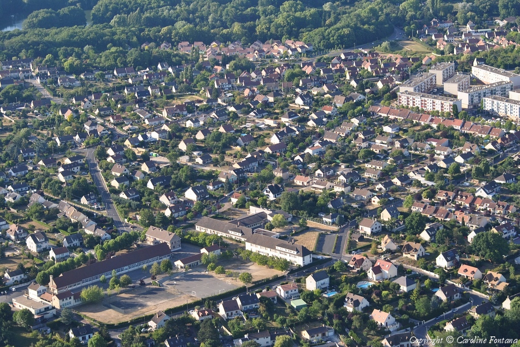
Pays :
France
Département :
Sarthe (72)
Lieu :
Arnage
Coord. GPS :
47 55 32 N 00 11 02 E
Photographe :
Benoit Marembert
Prise le :
29/05/2011
Vue 2318 fois (
0.65 fois/jour
)
Affiner la recherche
-
Situer sur la carte
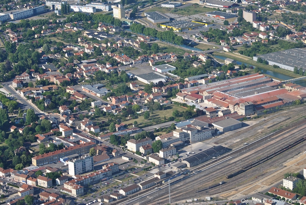
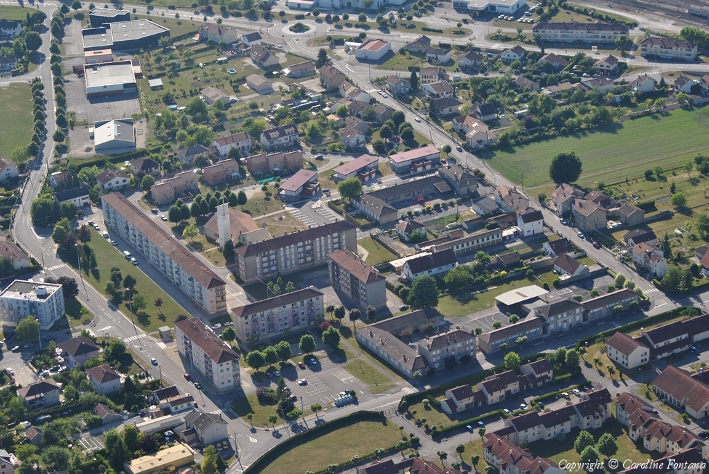
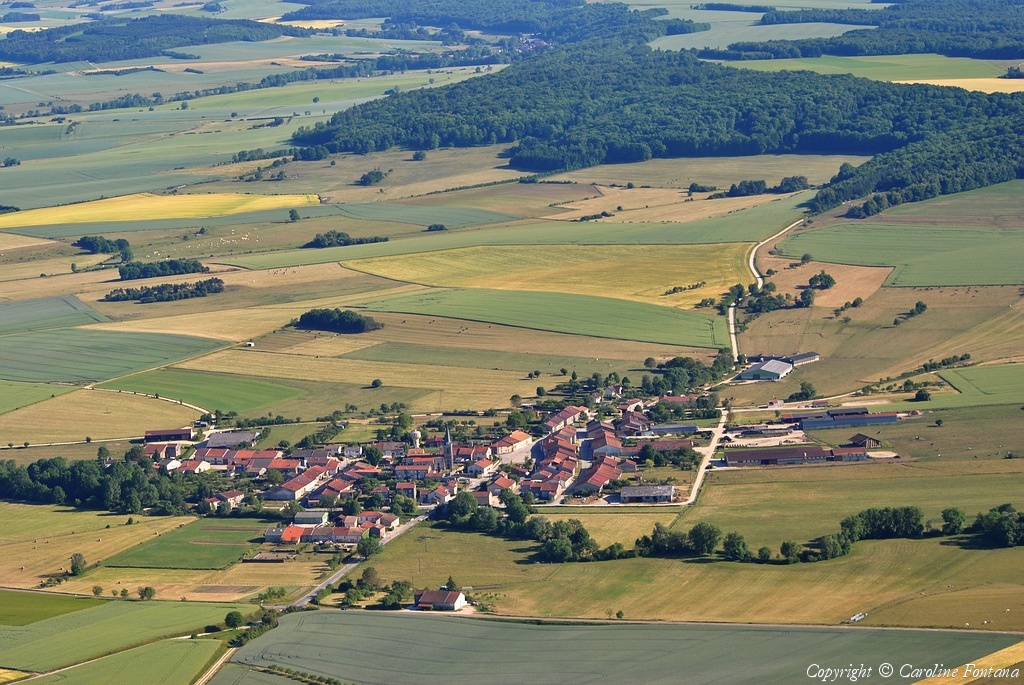
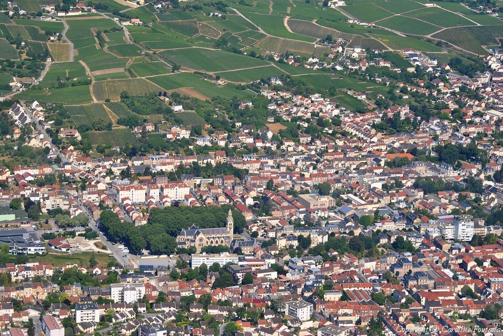
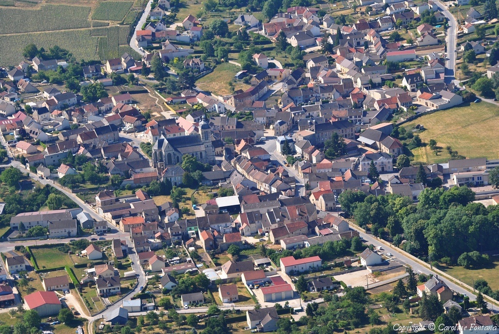
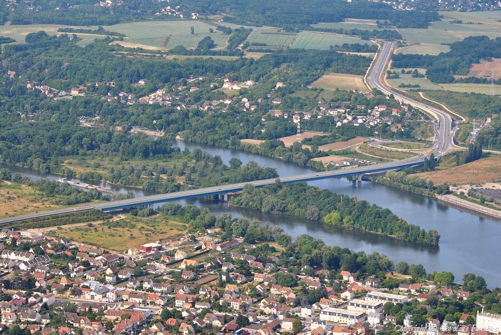
Pays :
France
Département :
Sarthe (72)
Lieu :
Le Mans
Coord. GPS :
47 56 42 N 00 11 58 E
Photographe :
Benoit Marembert
Prise le :
29/05/2011
Vue 1932 fois (
0.54 fois/jour
)
Affiner la recherche
-
Situer sur la carte
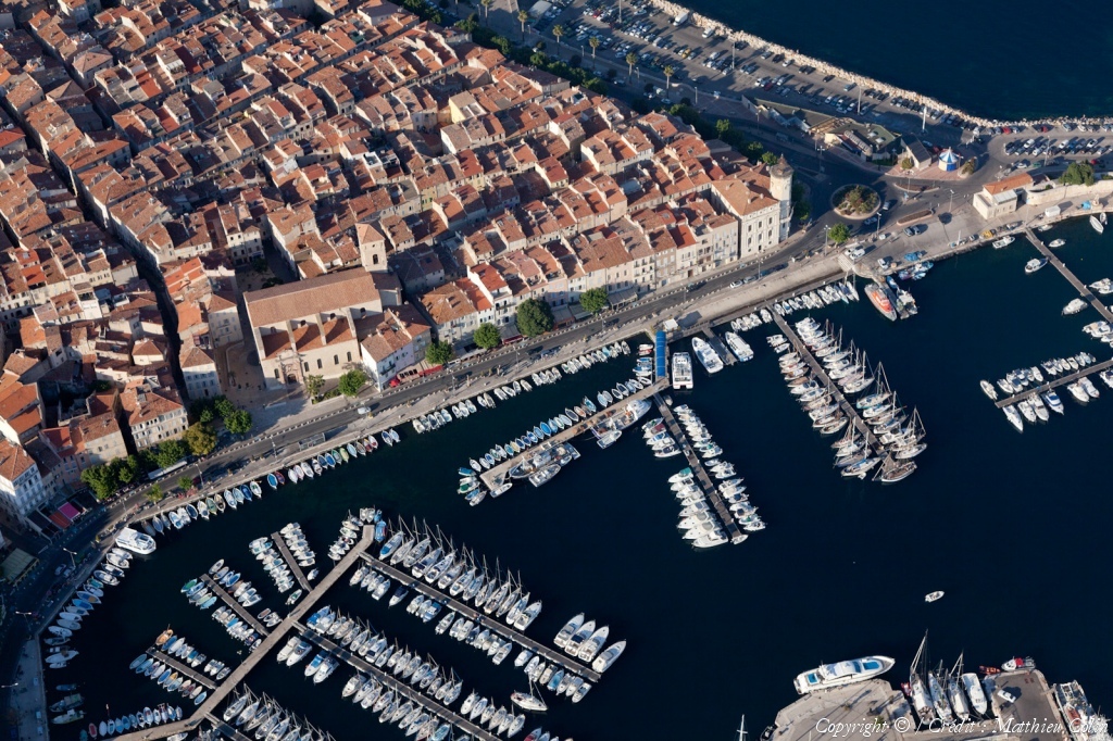
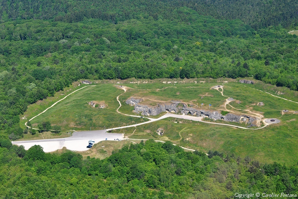
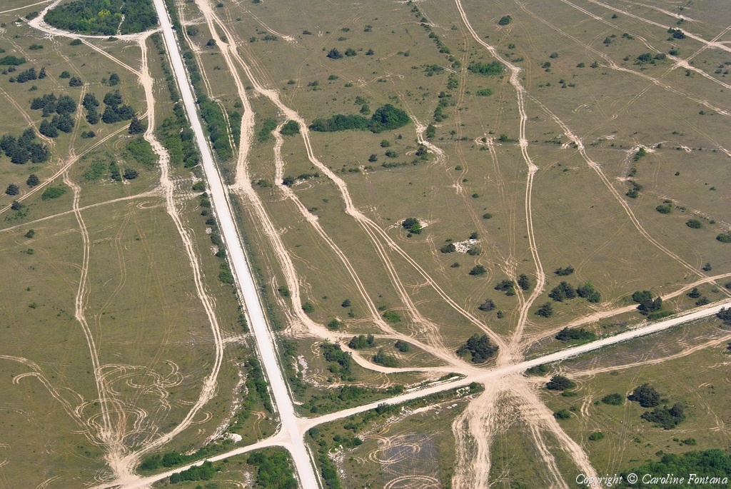
Pays :
France
Département :
Bouches-du-Rhône (13)
Lieu :
La Ciotat
Coord. GPS :
43 10 37 N 05 36 31 E
Photographe :
Matthieu Colin
Prise le :
29/05/2011
Vue 2057 fois (
0.56 fois/jour
)
Affiner la recherche
-
Situer sur la carte
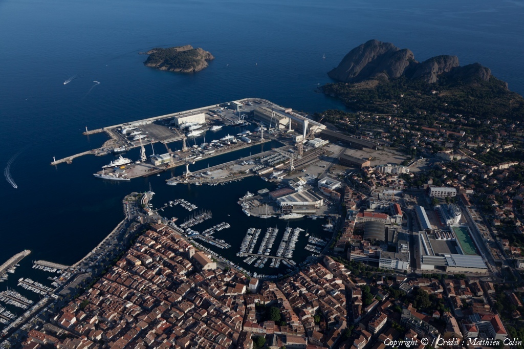
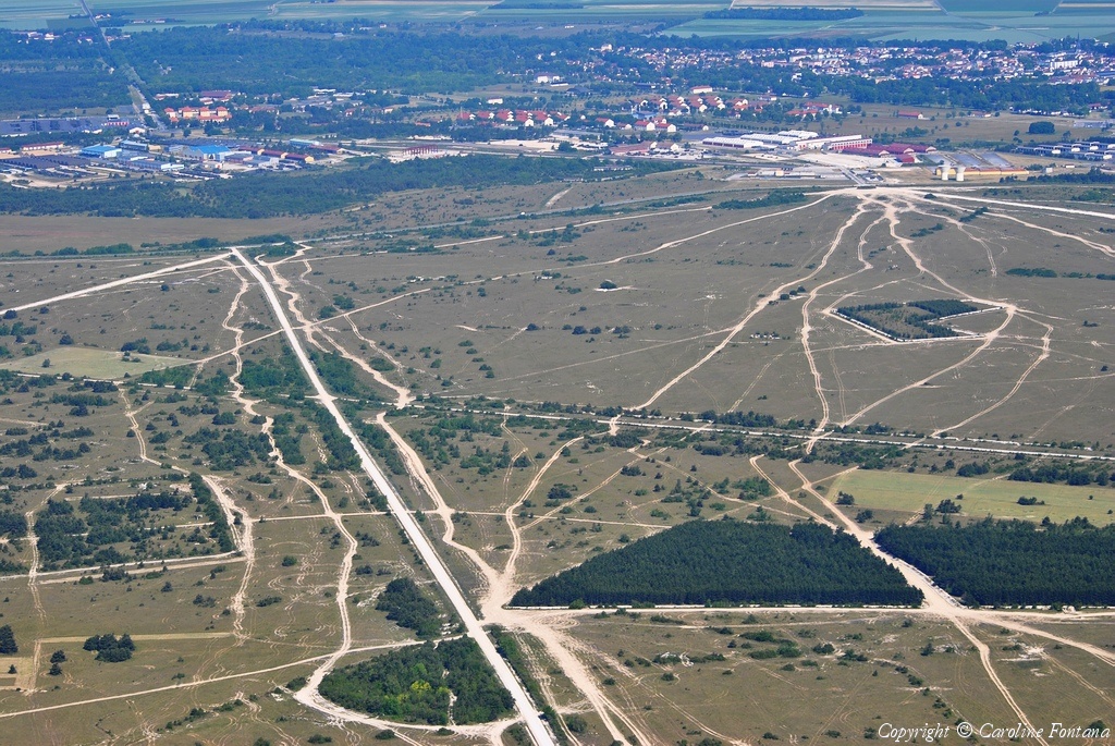
Pays :
France
Département :
Bouches-du-Rhône (13)
Lieu :
La Ciotat
Coord. GPS :
43 10 37 N 05 36 31 E
Photographe :
Matthieu Colin
Prise le :
29/05/2011
Vue 2086 fois (
0.57 fois/jour
)
Affiner la recherche
-
Situer sur la carte
Pays :
France
Département :
Bouches-du-Rhône (13)
Lieu :
La Ciotat
Coord. GPS :
43 10 37 N 05 36 31 E
Photographe :
Matthieu Colin
Prise le :
29/05/2011
Vue 2268 fois (
0.62 fois/jour
)
Affiner la recherche
-
Situer sur la carte
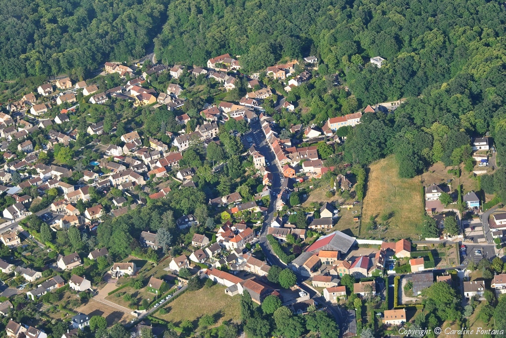
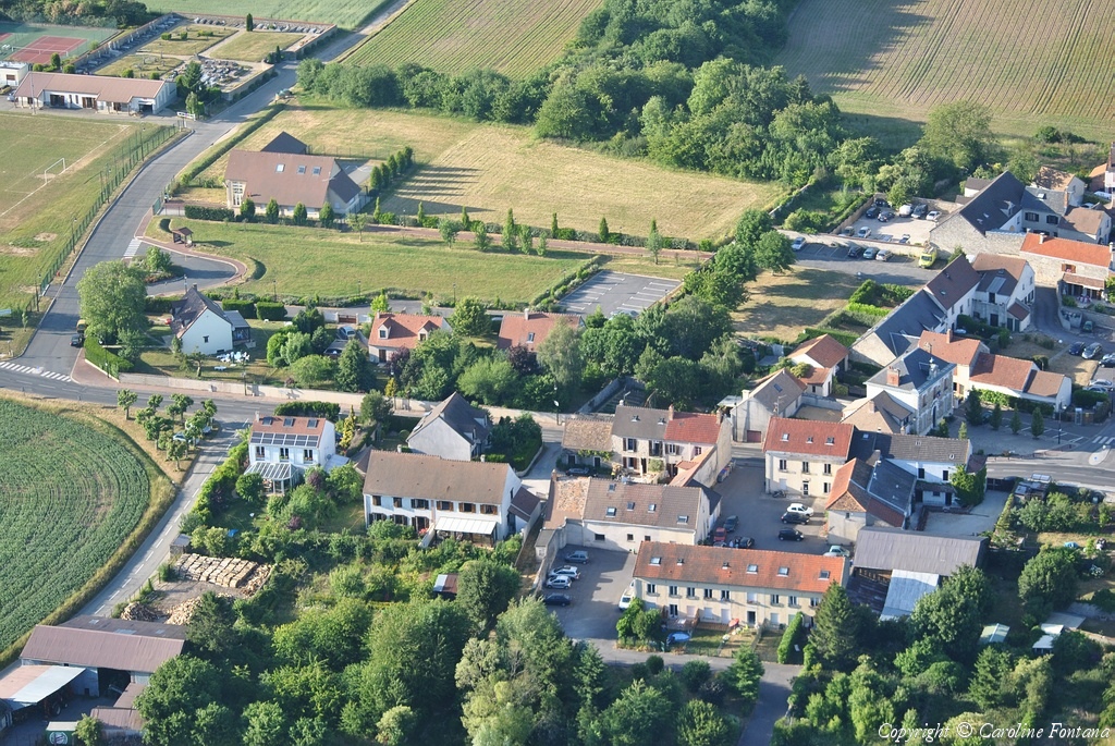
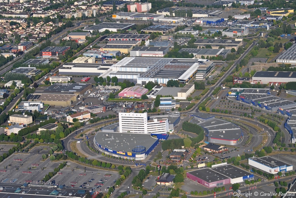
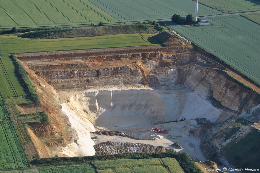
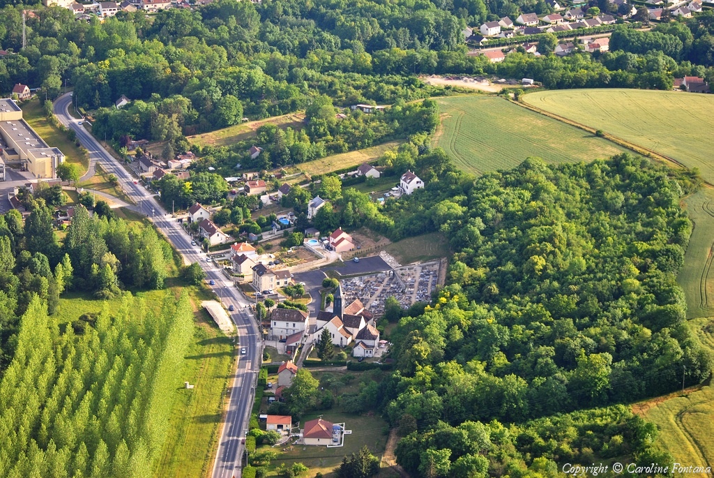
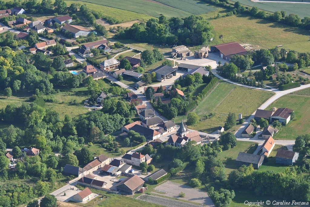
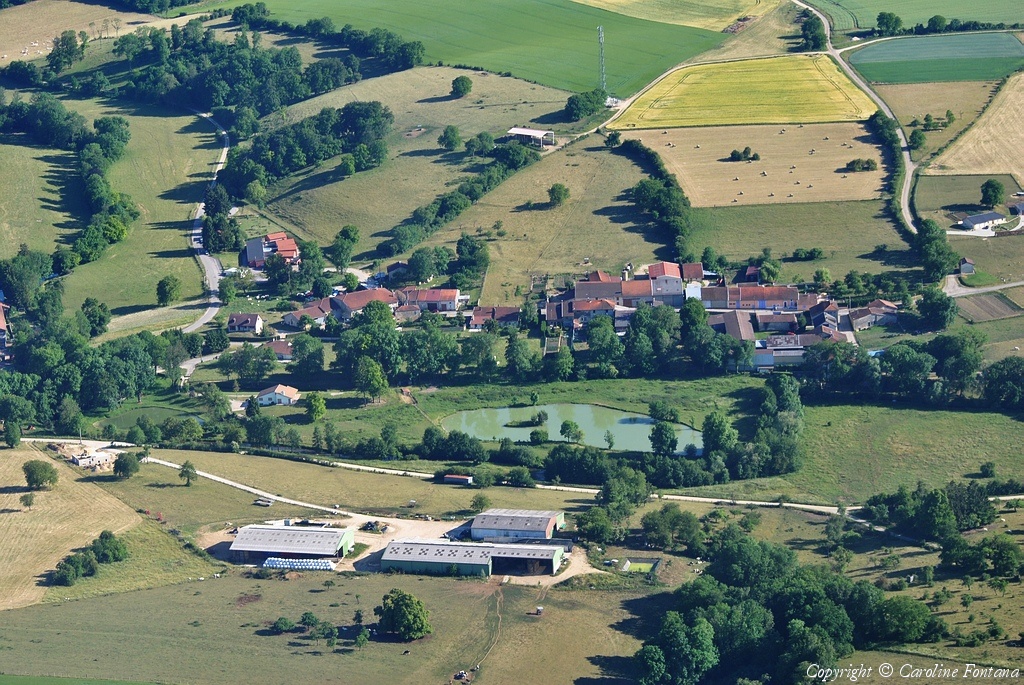
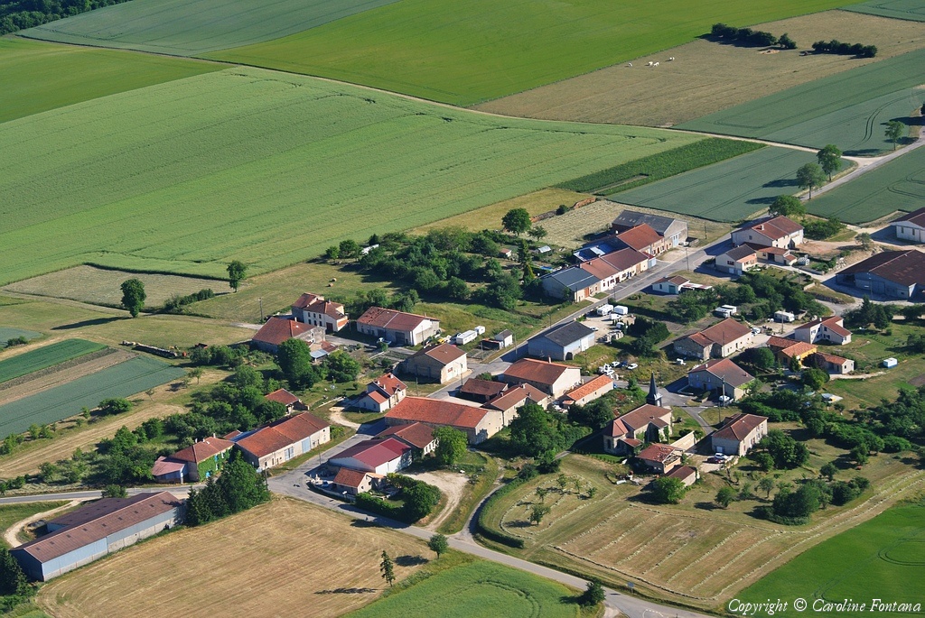
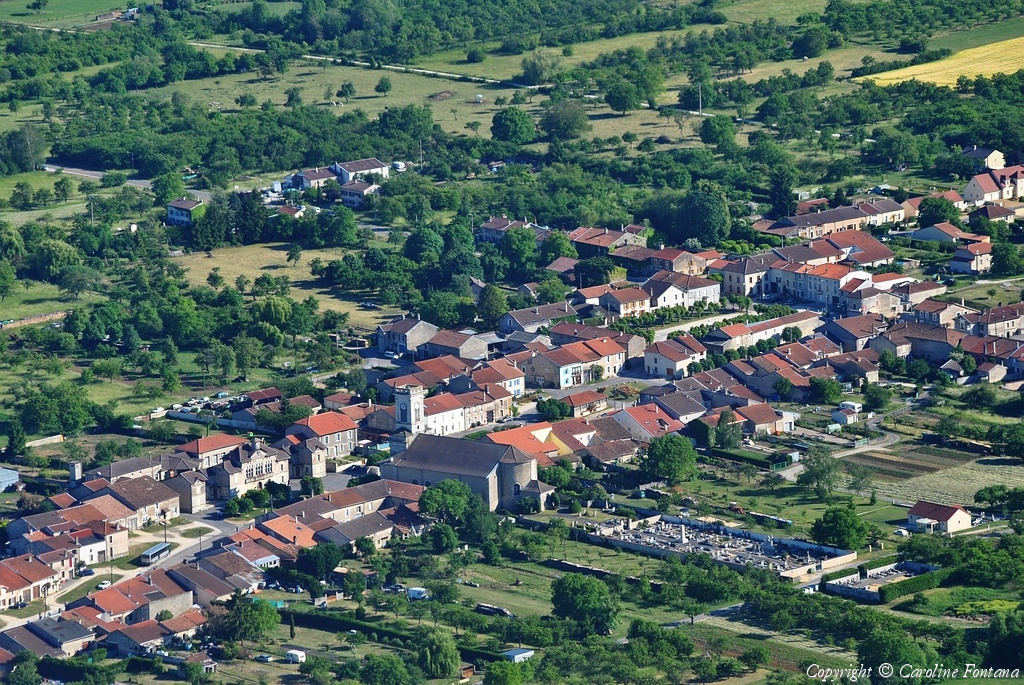
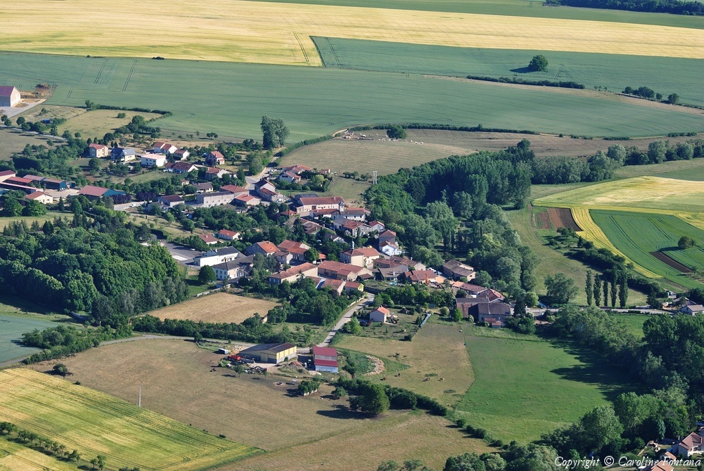
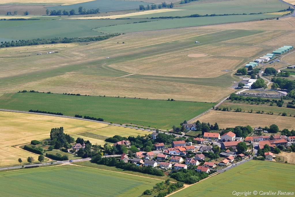
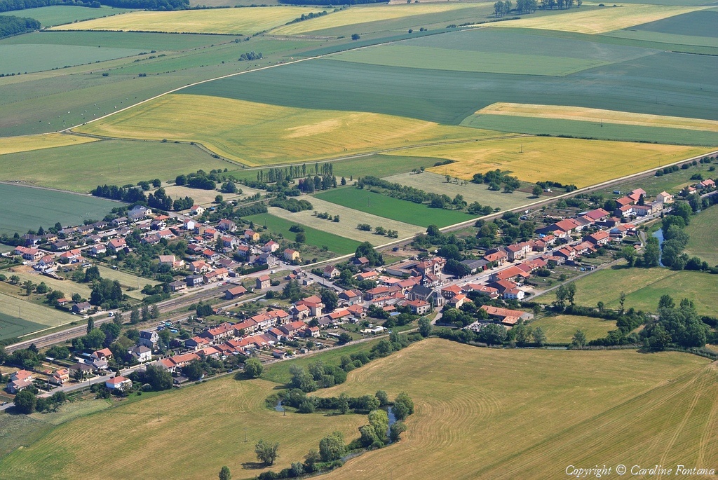
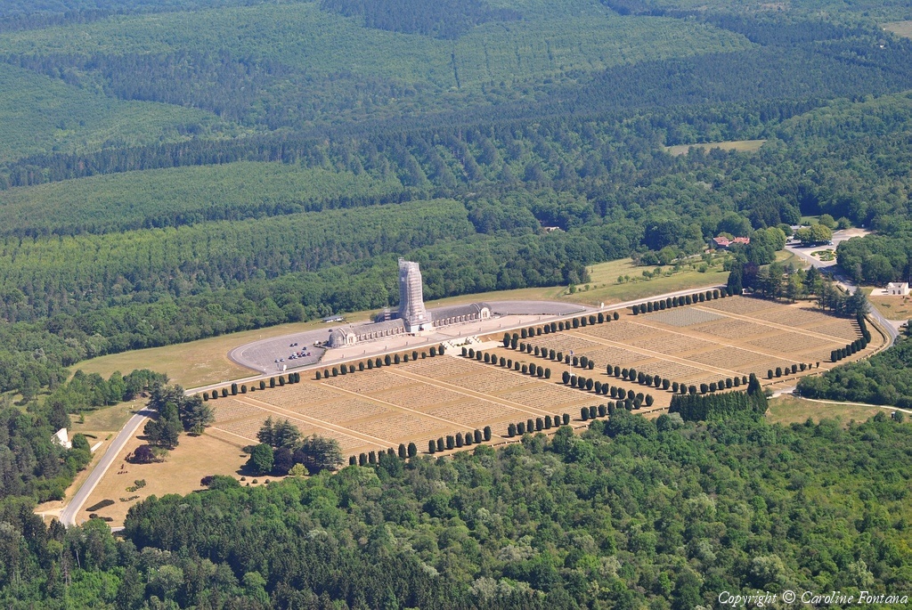
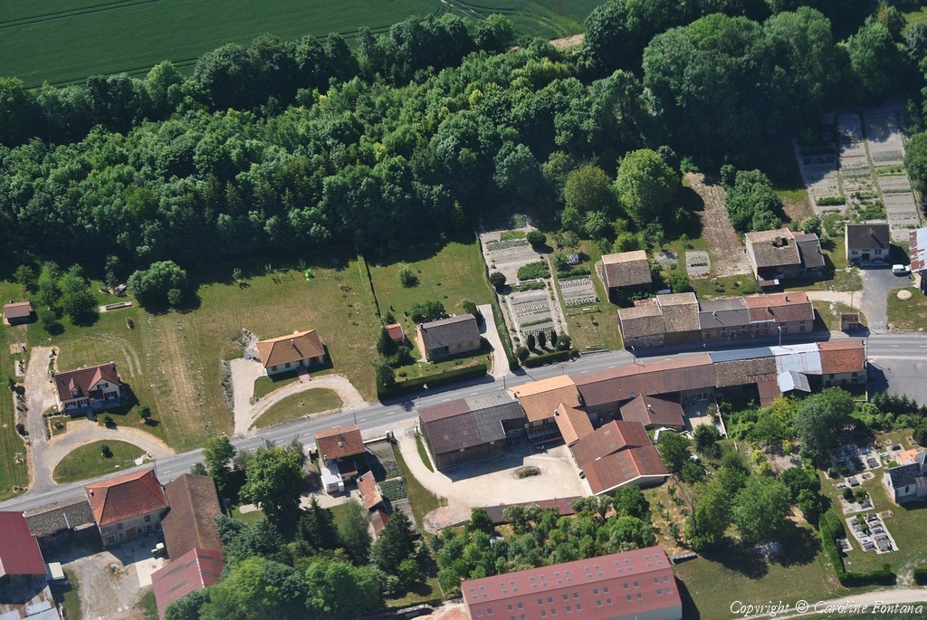
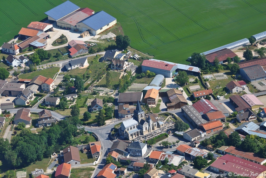
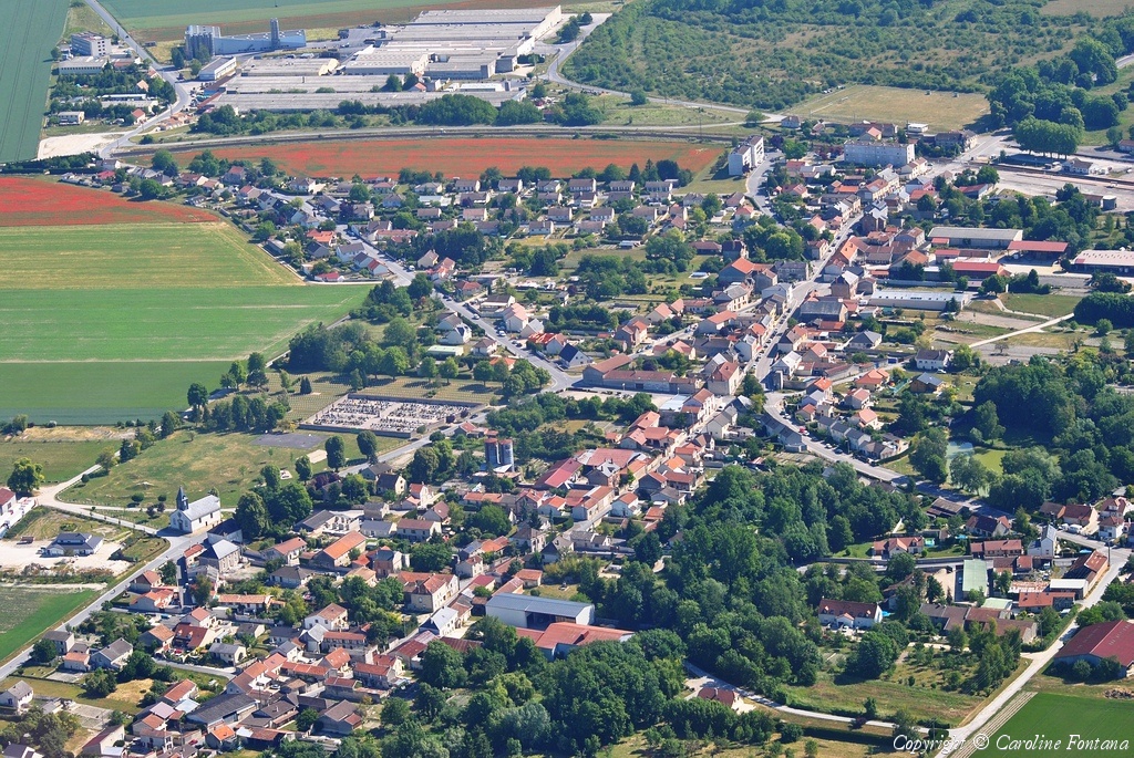
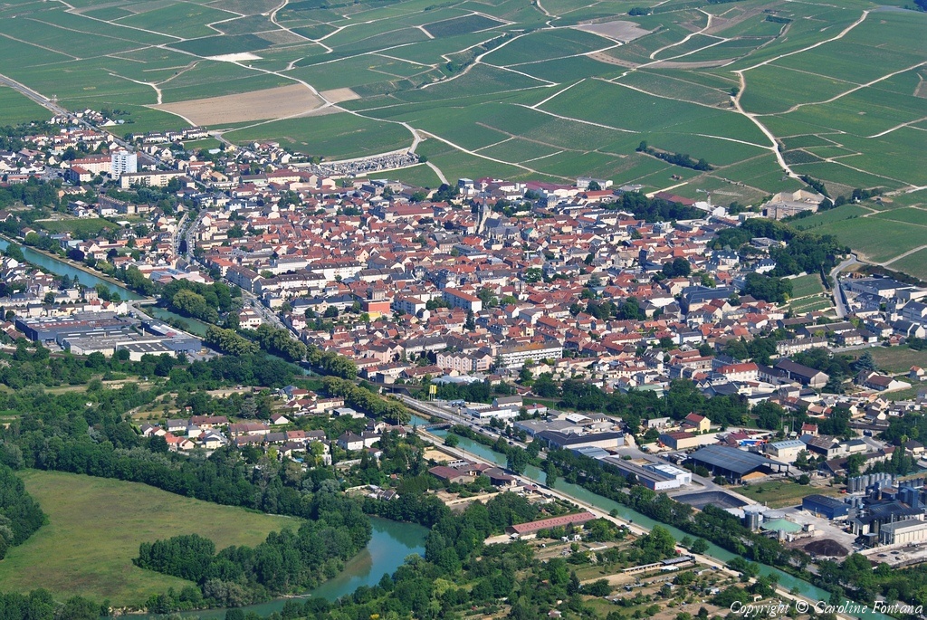
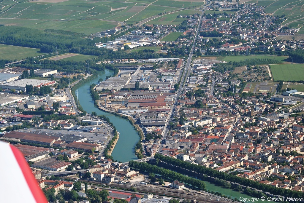
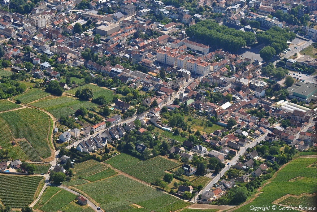
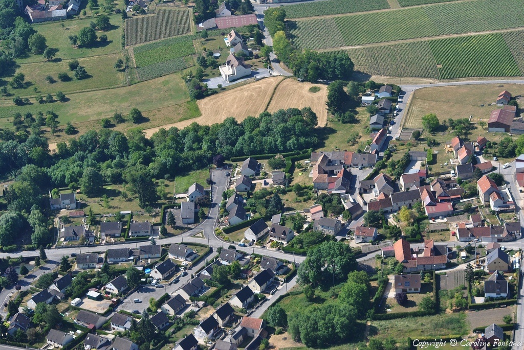
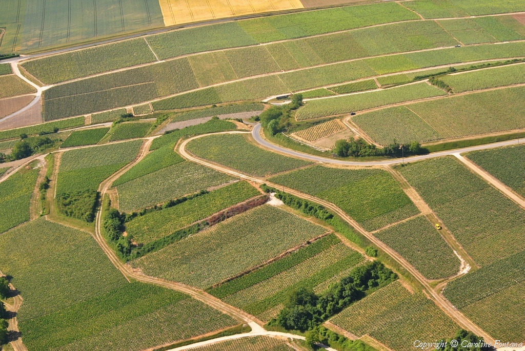
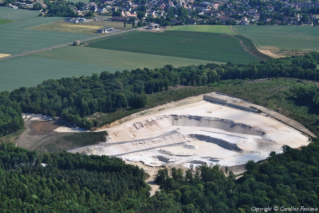
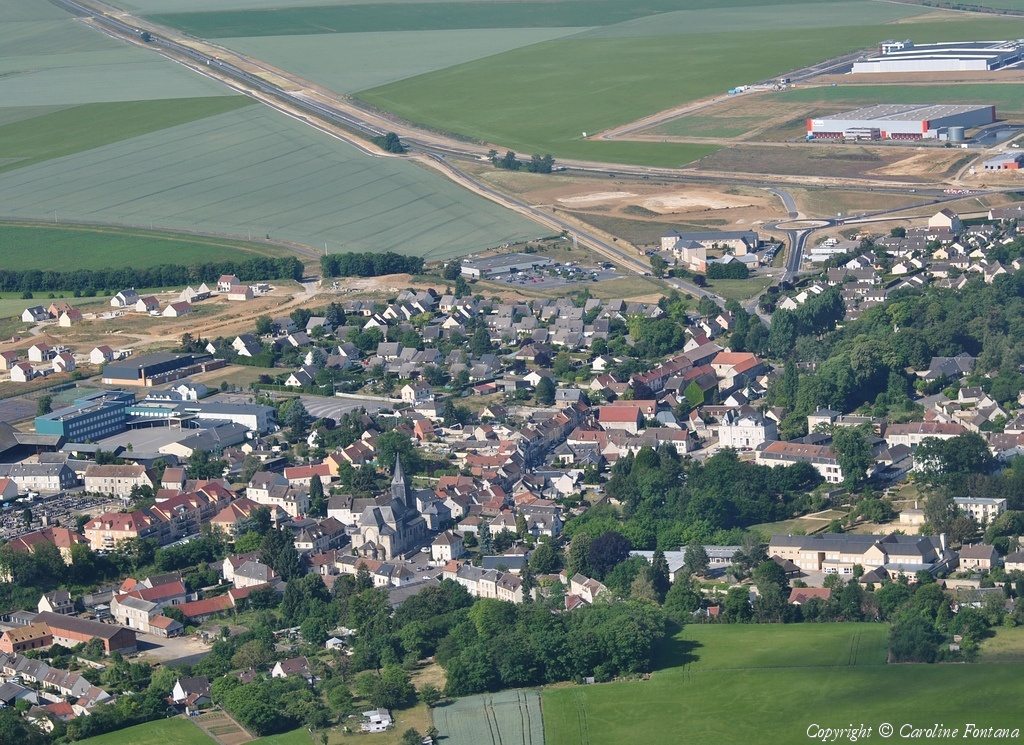
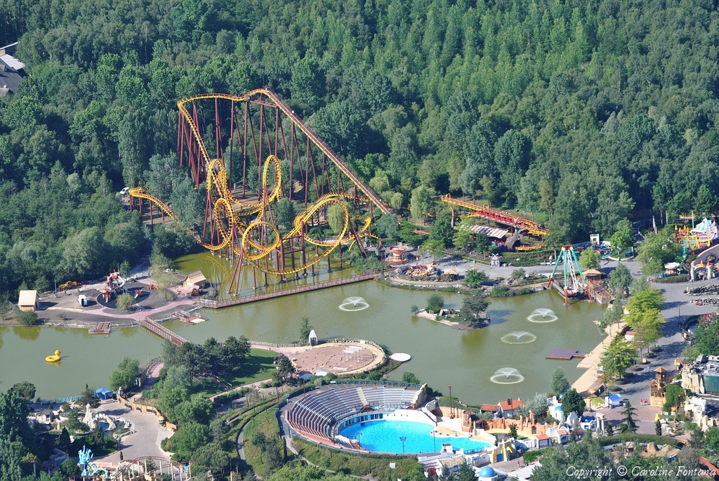
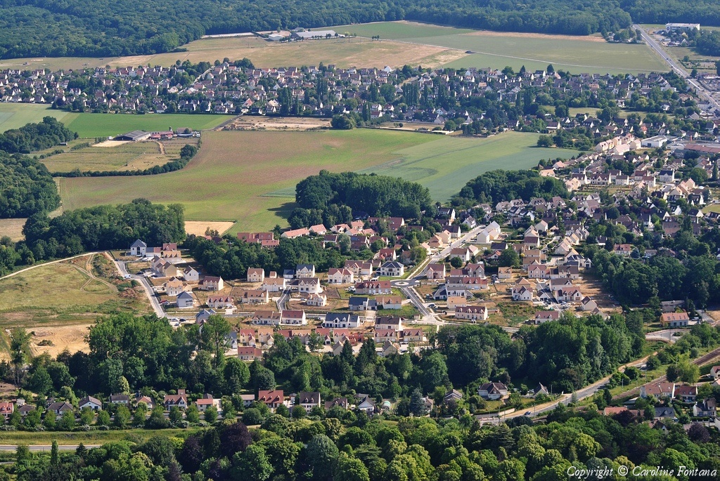
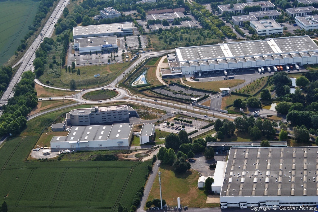
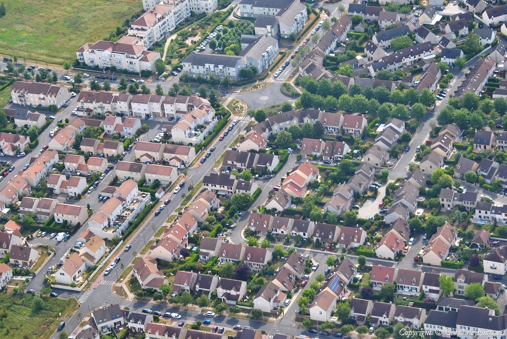
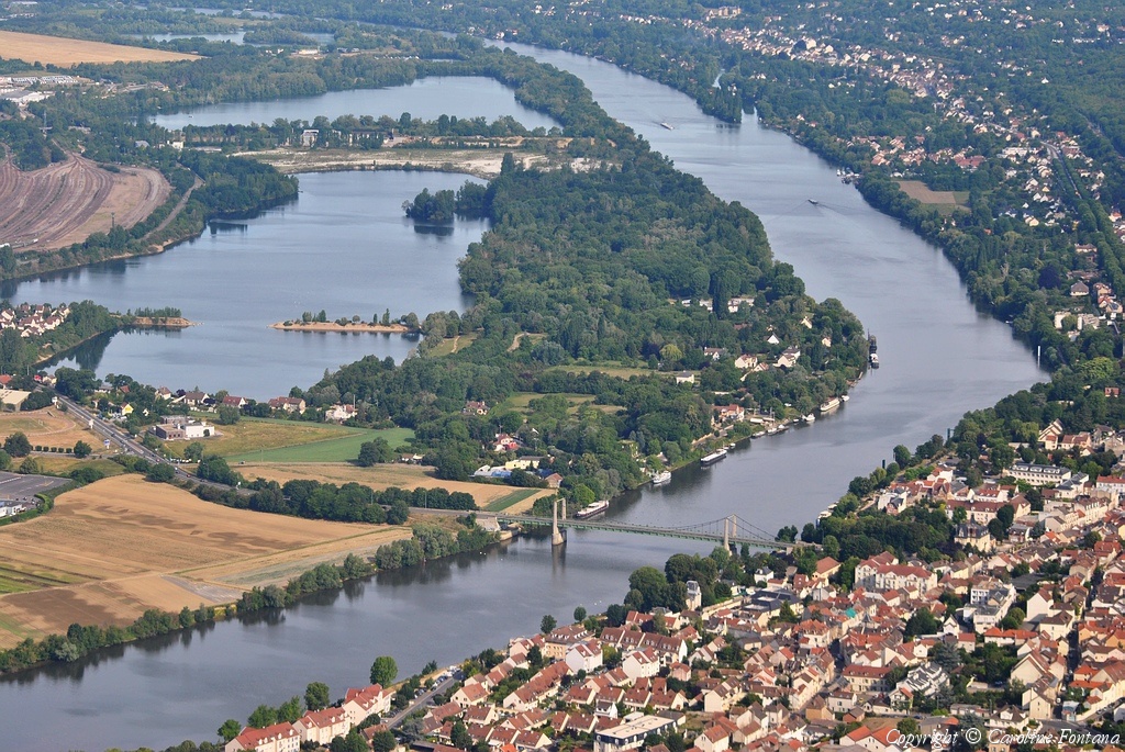
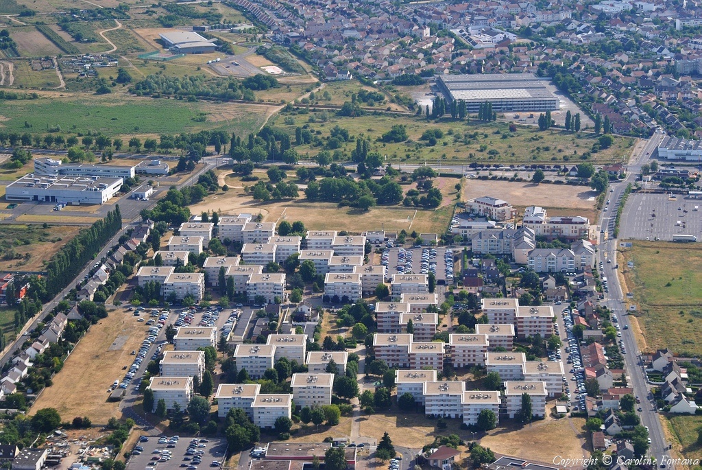
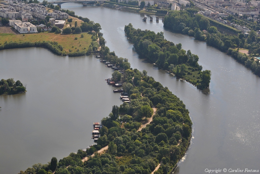
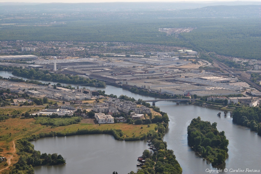
Pays :
France
Département :
Yvelines (78)
Lieu :
Villiers-Saint-Frédéric
Coord. GPS :
48 49 11 N 01 53 31 E
Photographe :
Caroline Fontana
Prise le :
29/05/2011
Vue 2409 fois (
0.56 fois/jour
)
Affiner la recherche
-
Situer sur la carte
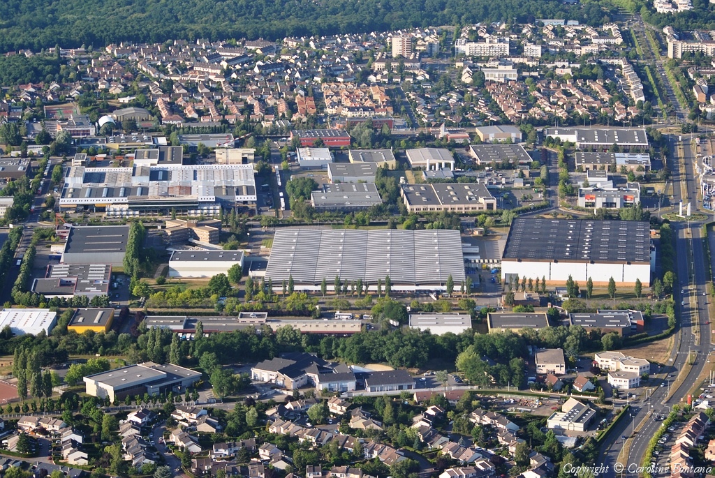
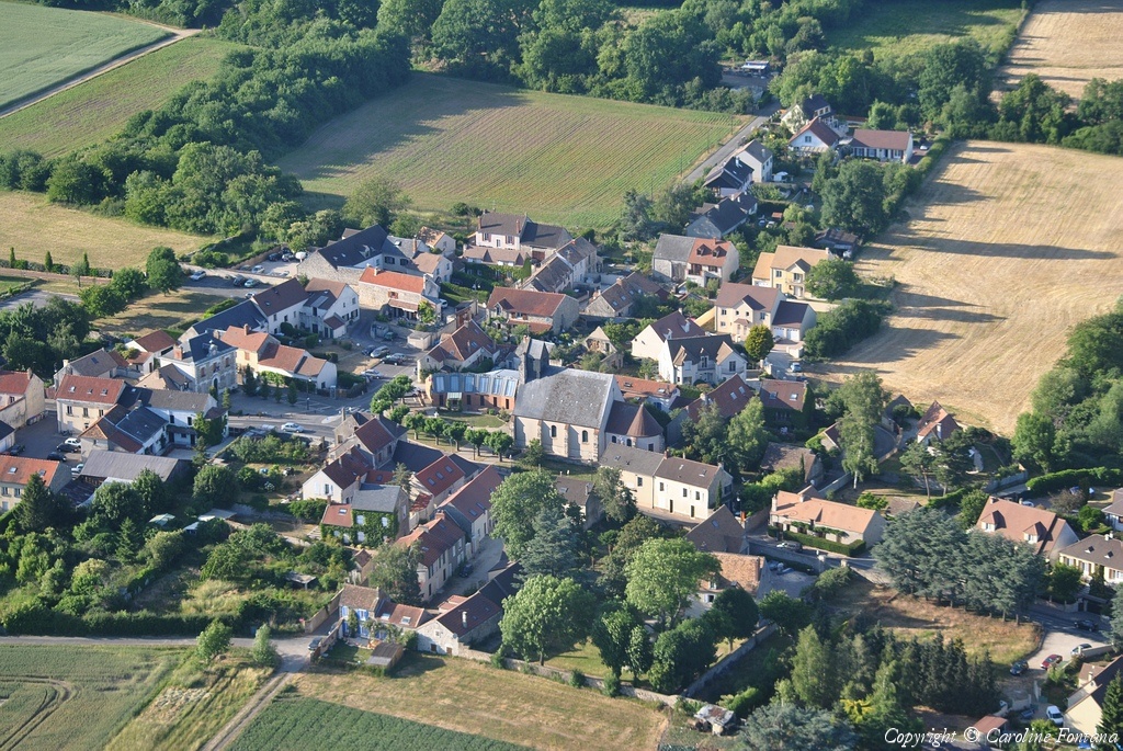
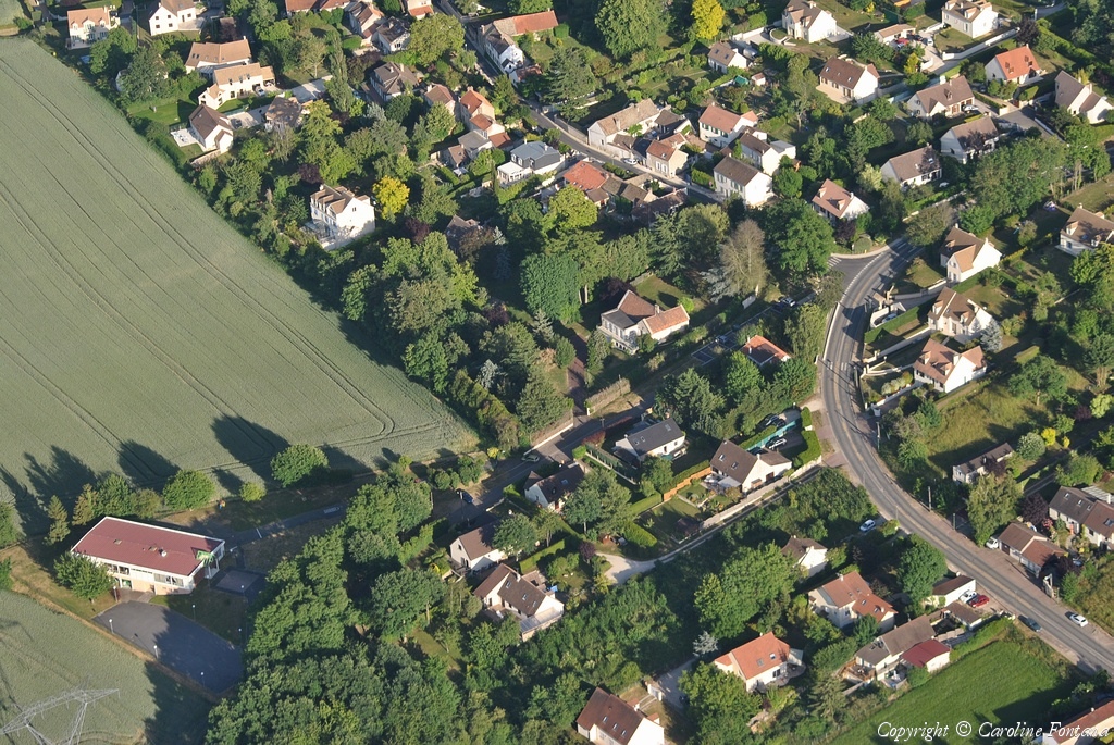
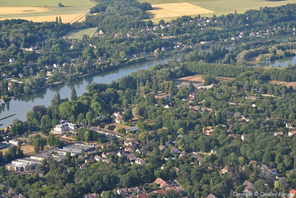
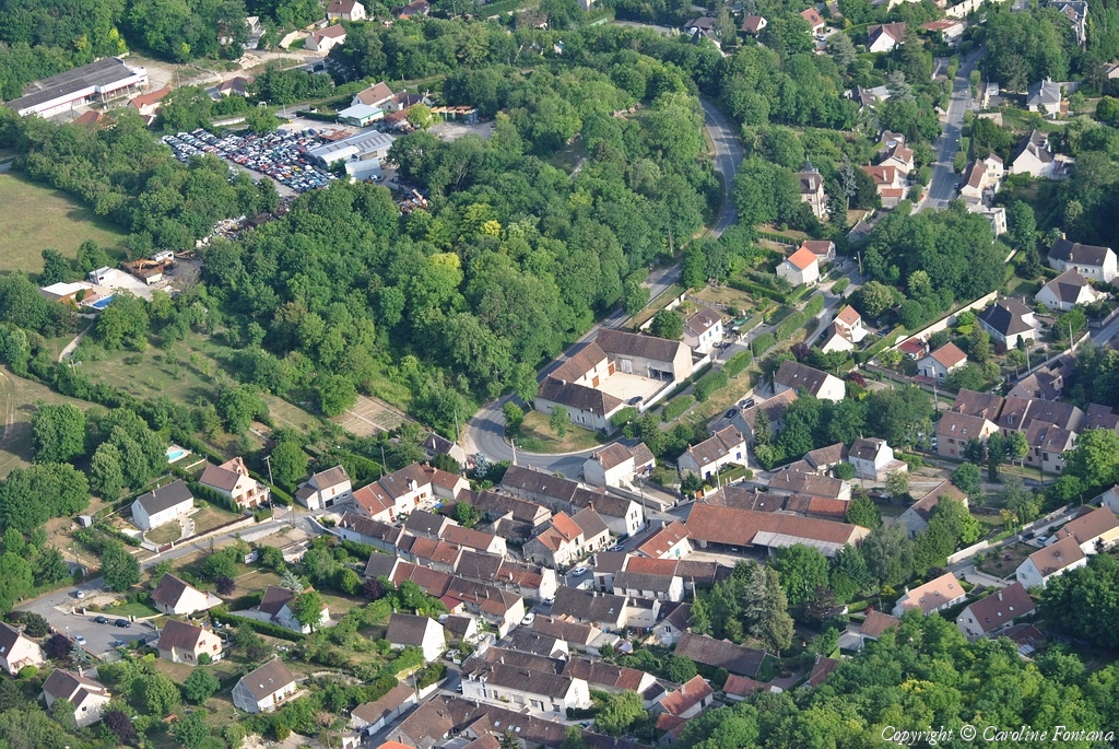
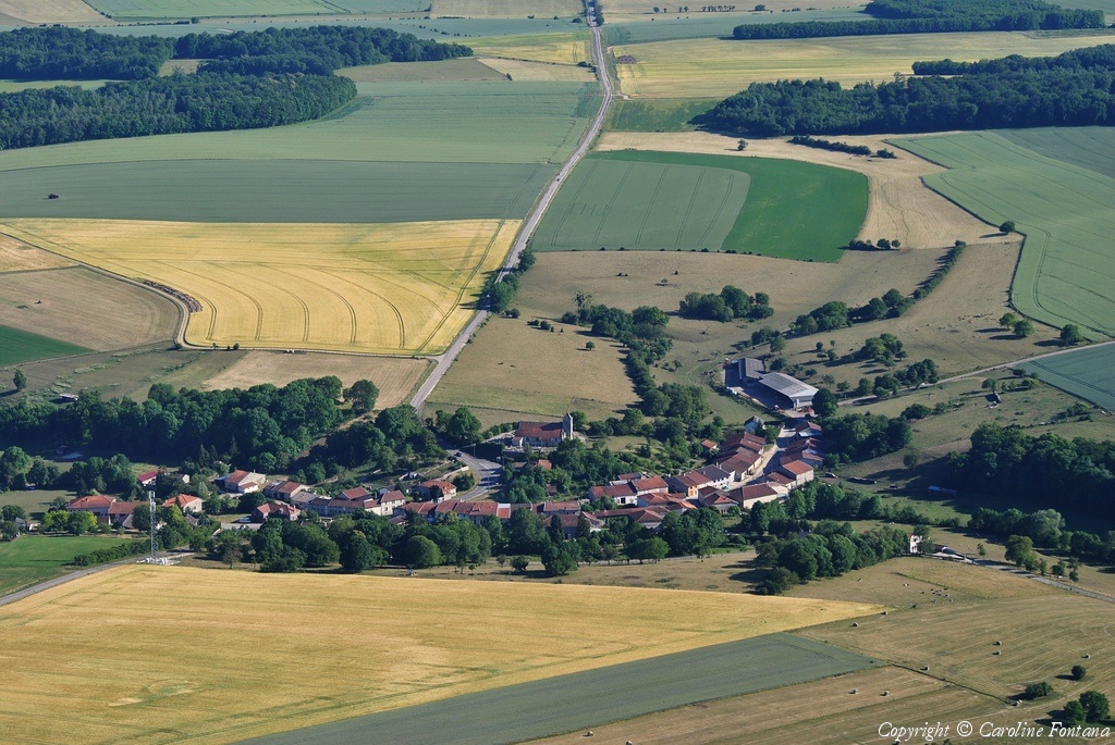
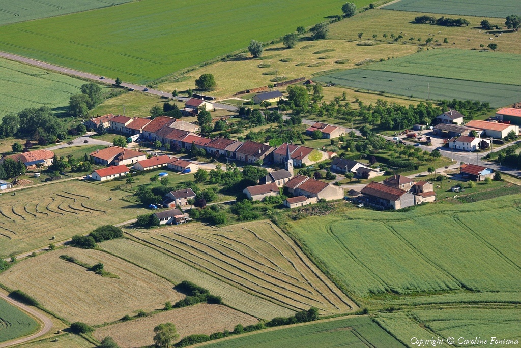
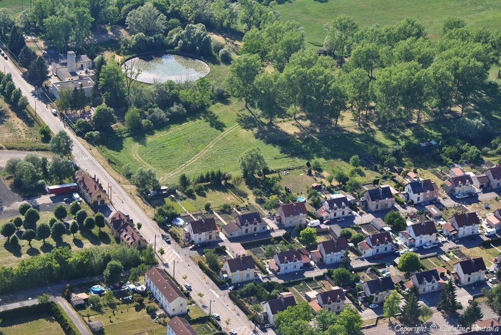
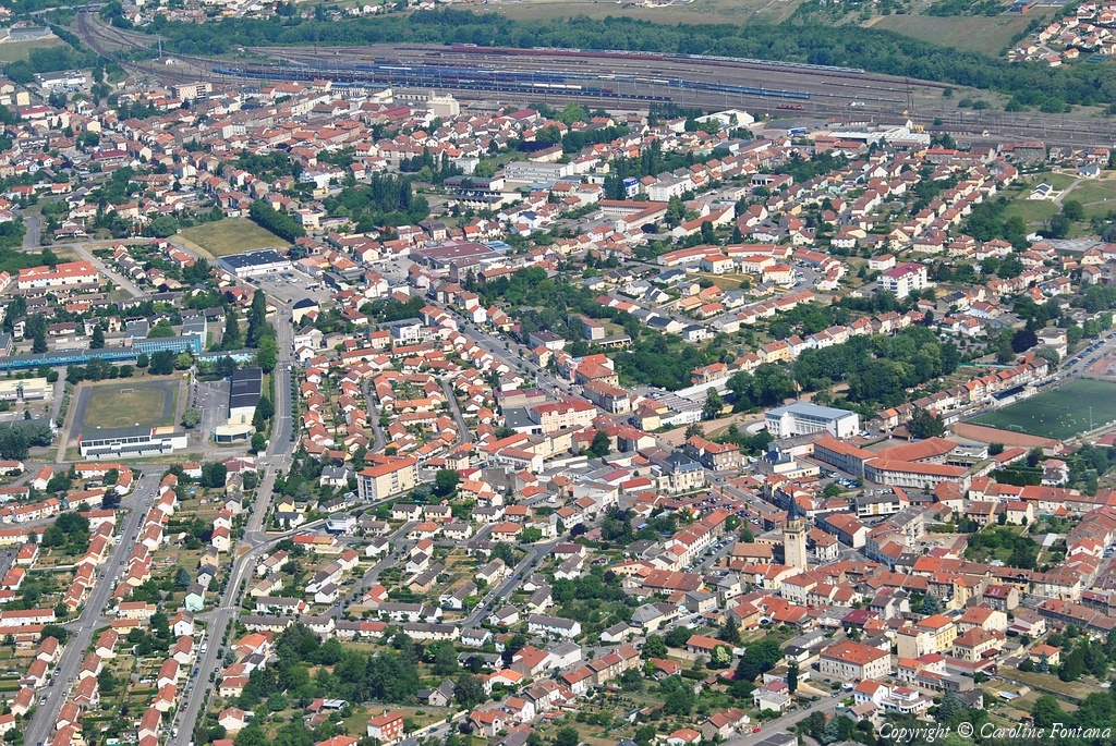
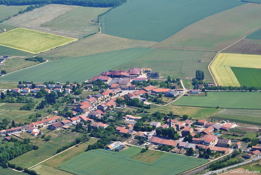
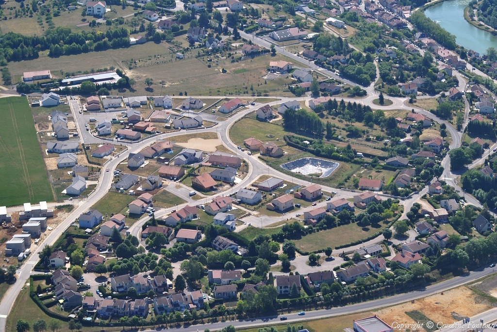
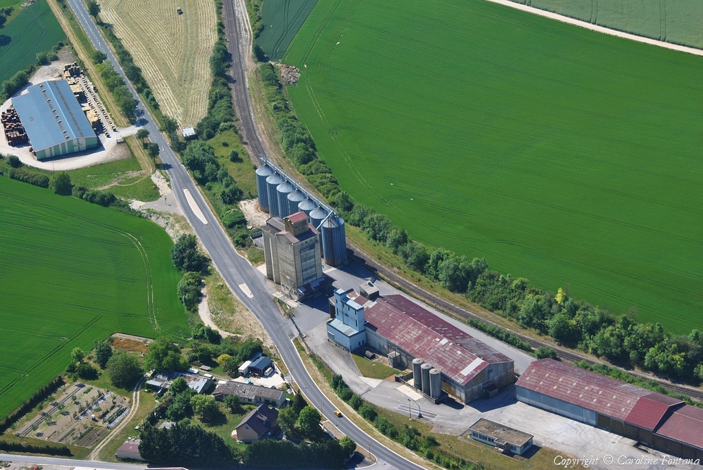
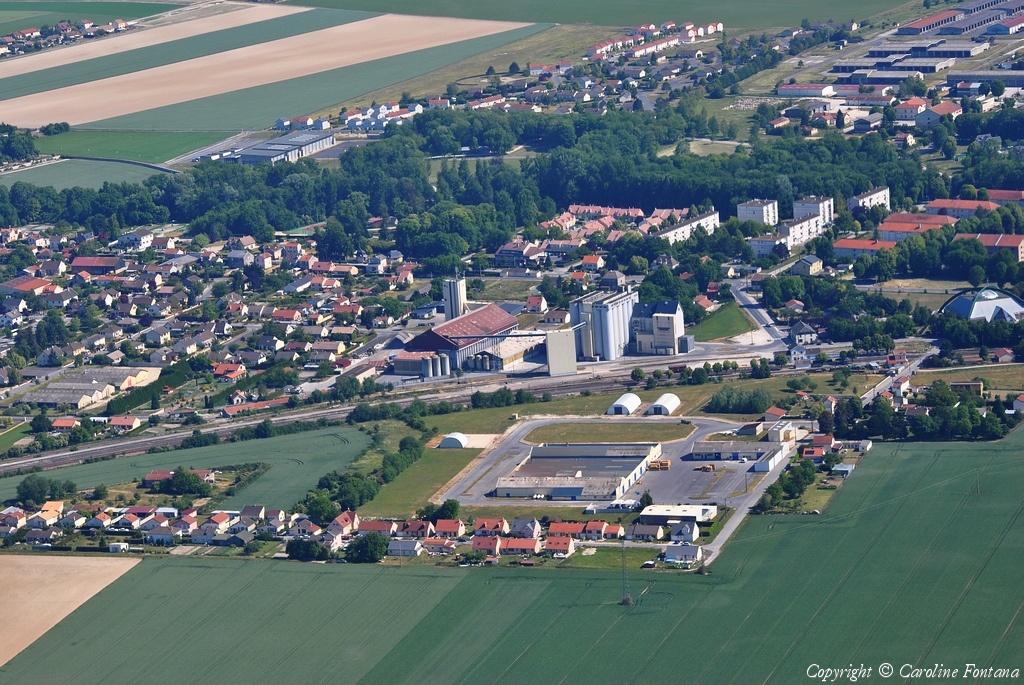
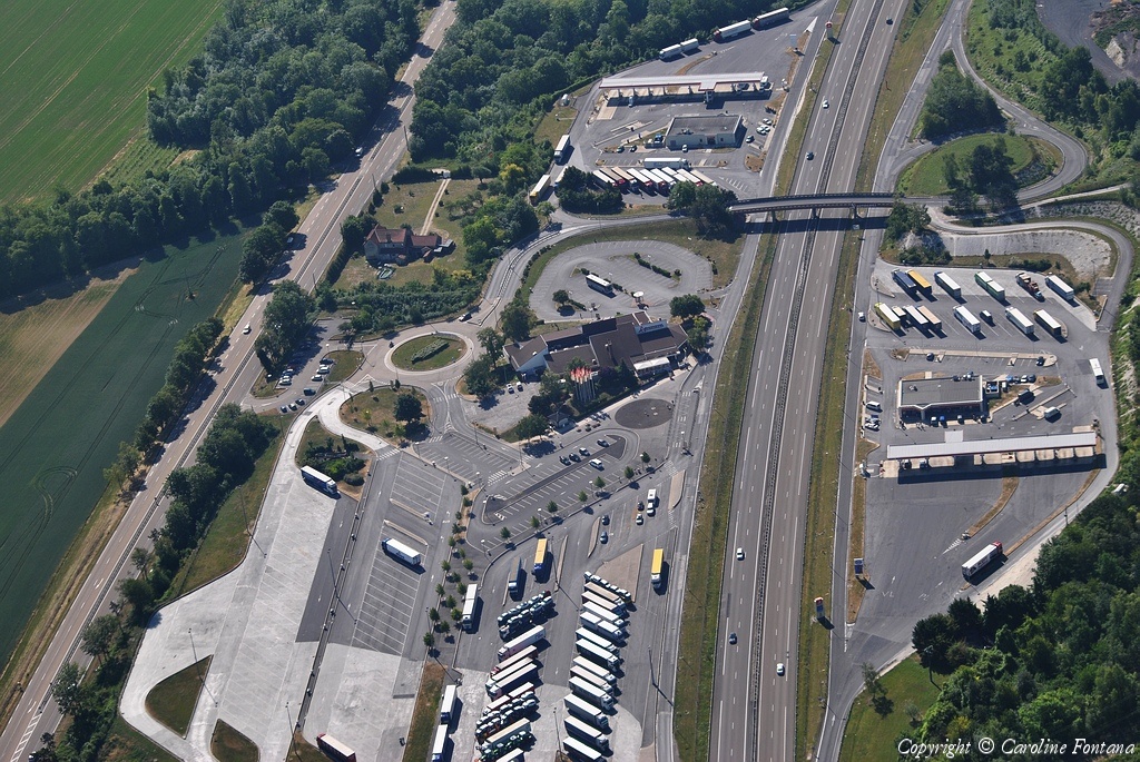
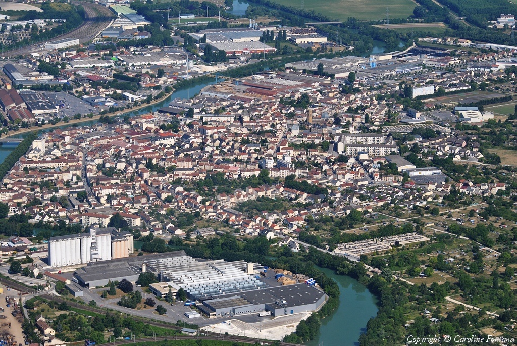
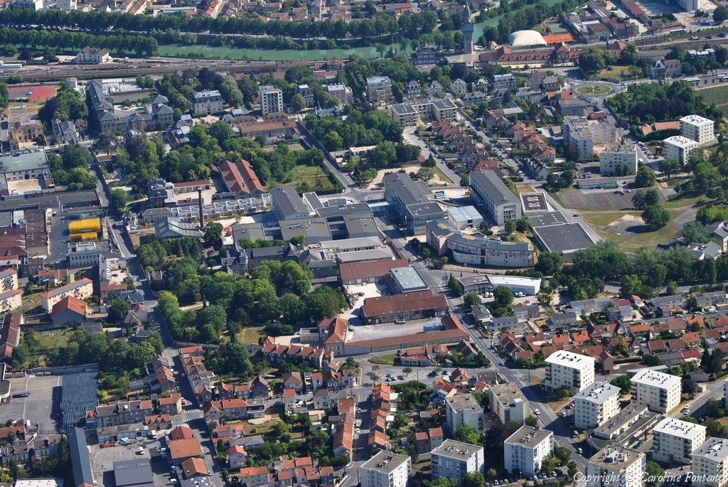
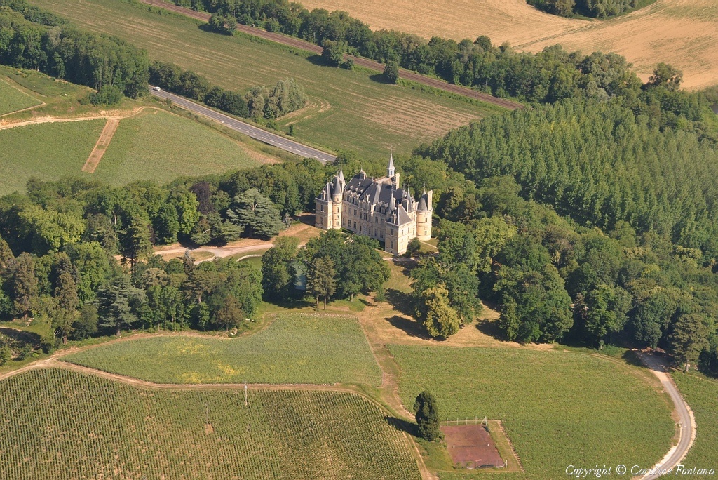
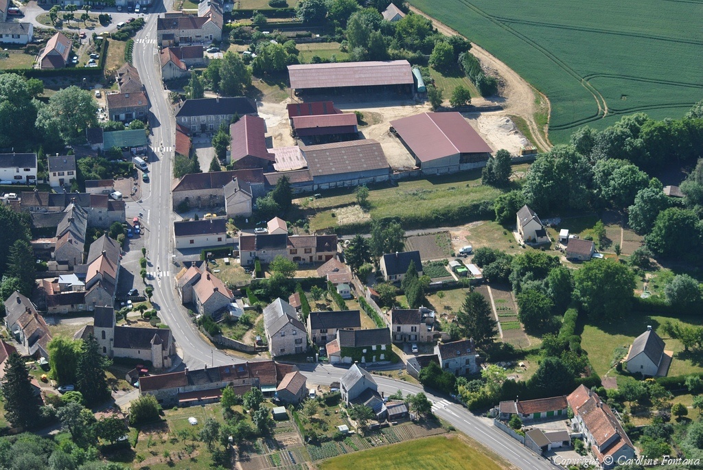
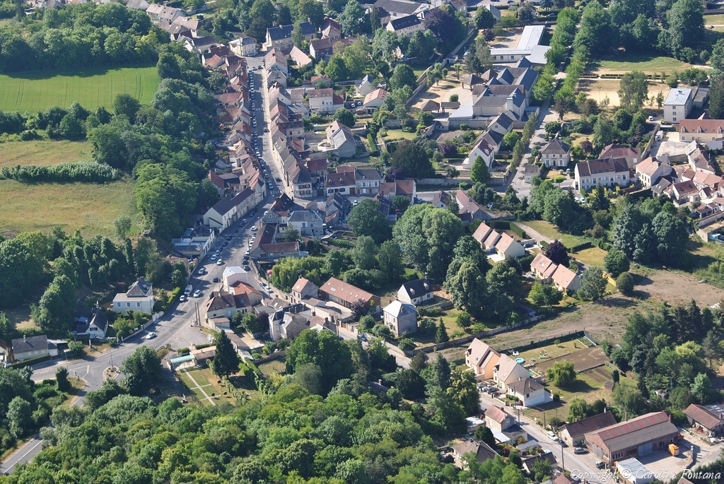
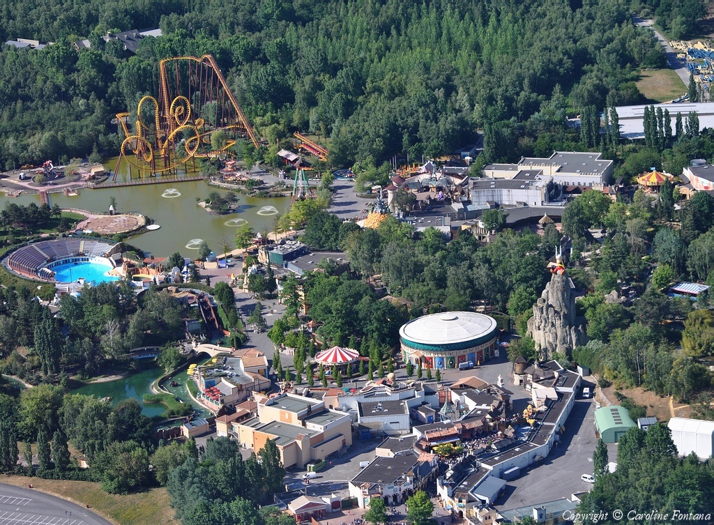
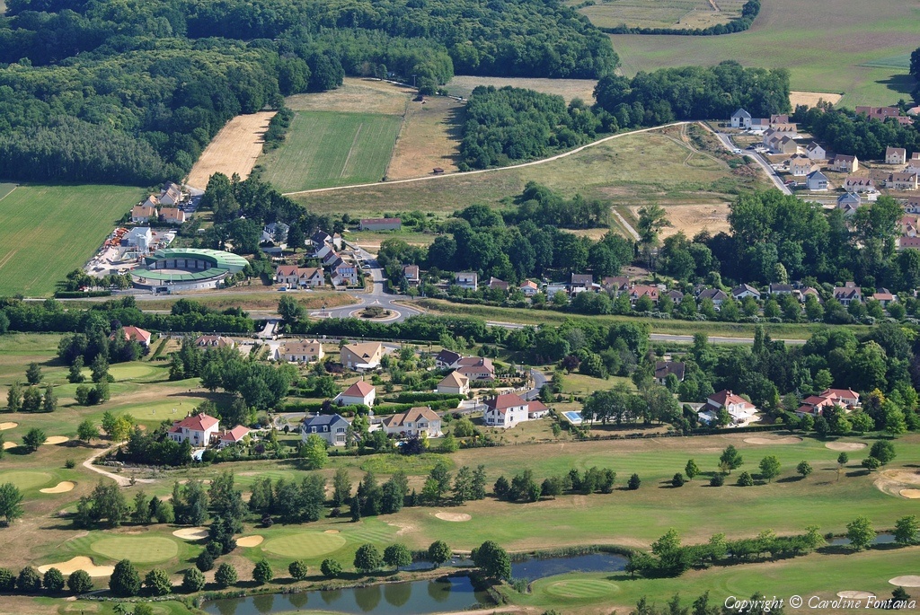
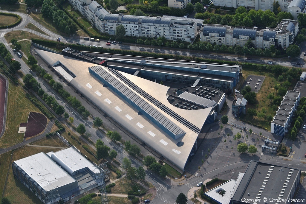
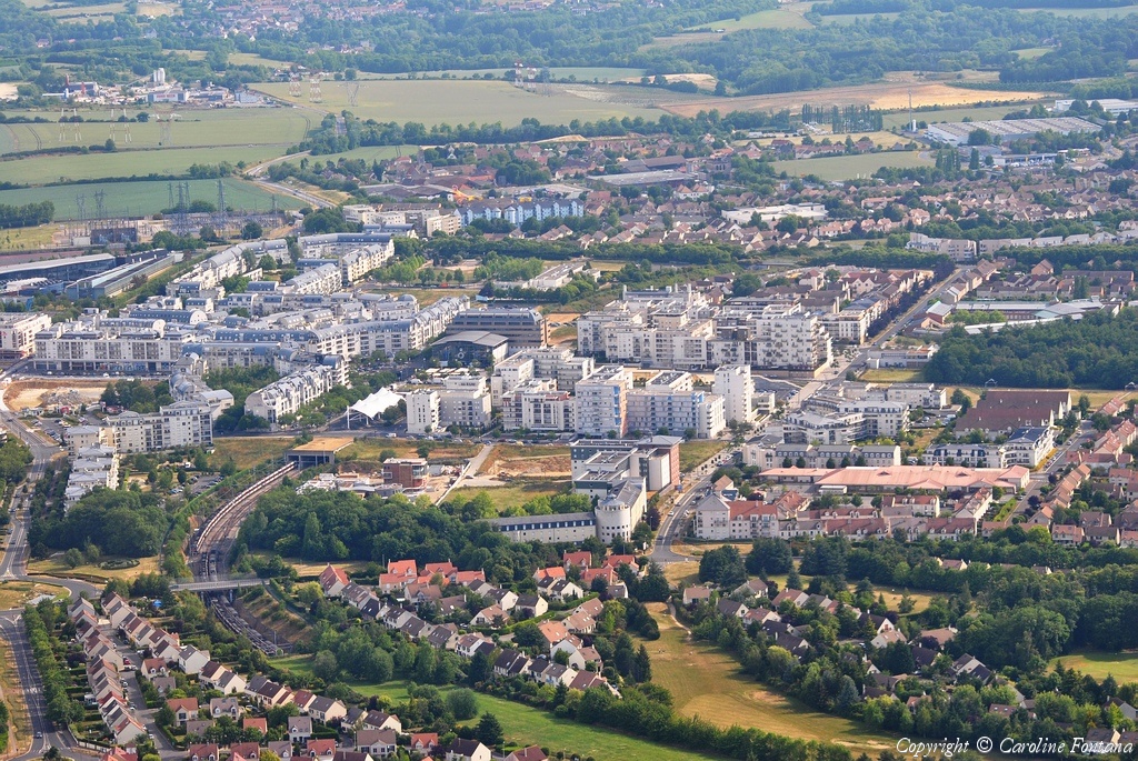
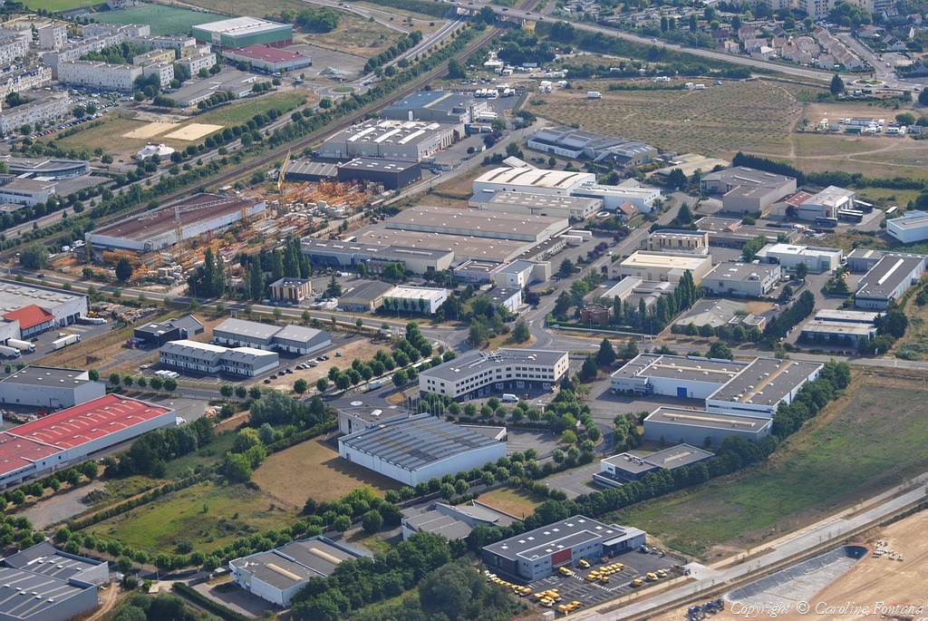
Pays :
France
Département :
Yvelines (78)
Lieu :
Coignières
Coord. GPS :
48 44 43 N 01 55 20 E
Photographe :
Caroline Fontana
Prise le :
29/05/2011
Vue 2214 fois (
0.52 fois/jour
)
Affiner la recherche
-
Situer sur la carte
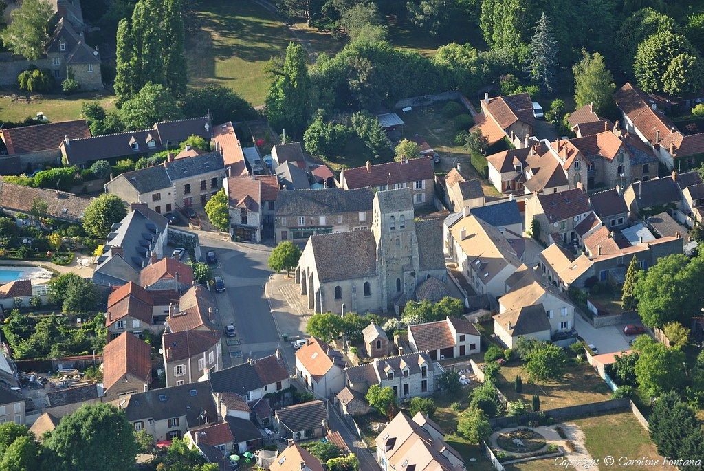
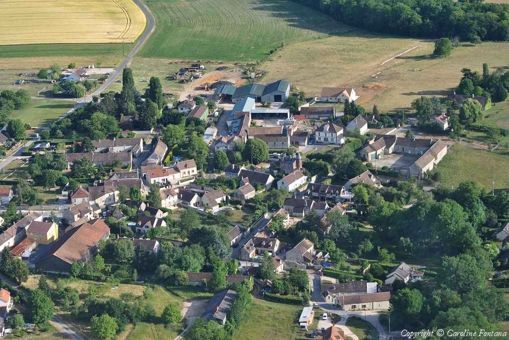
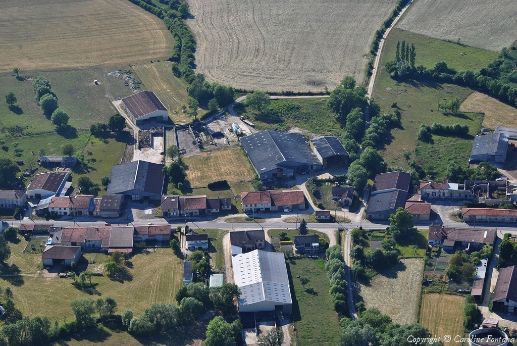
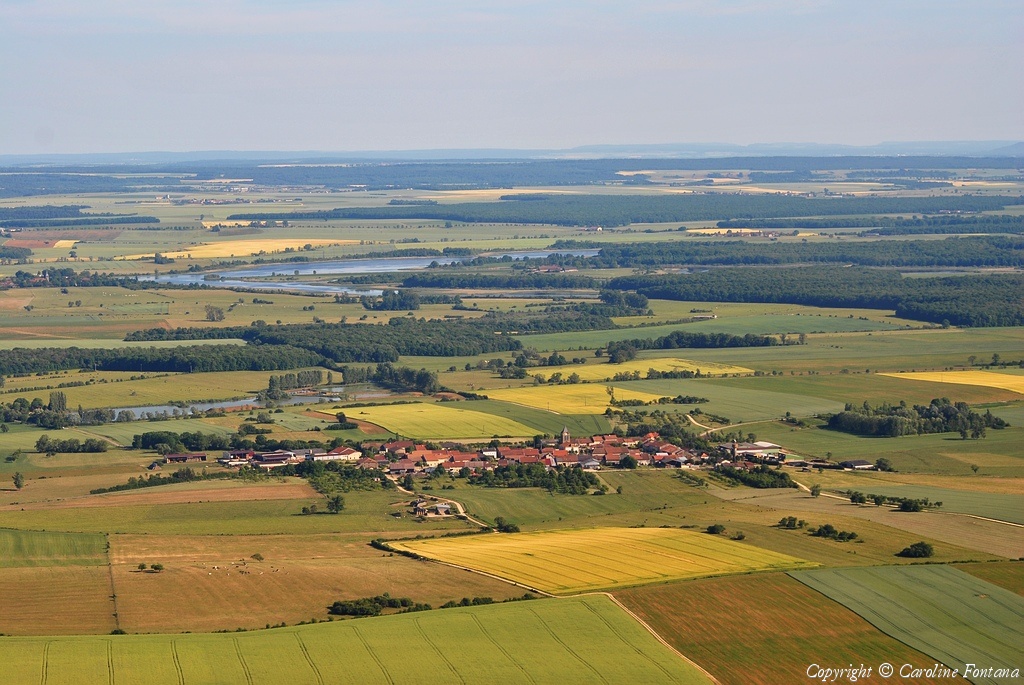
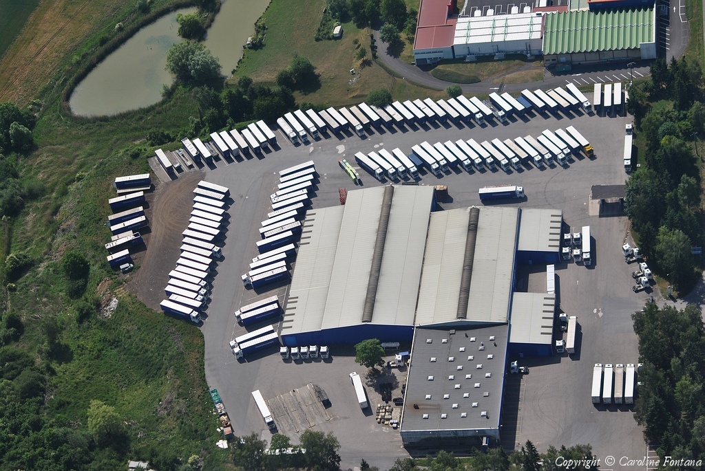
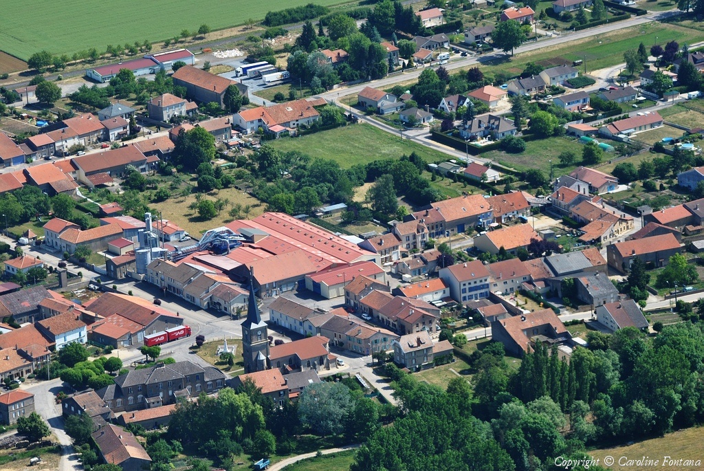
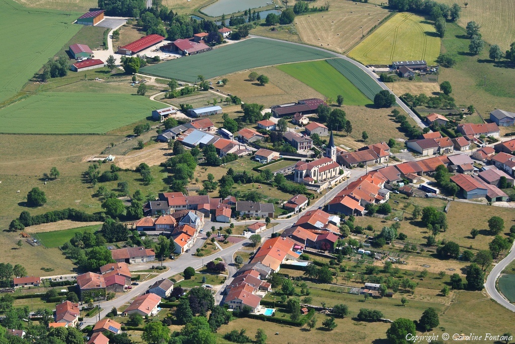
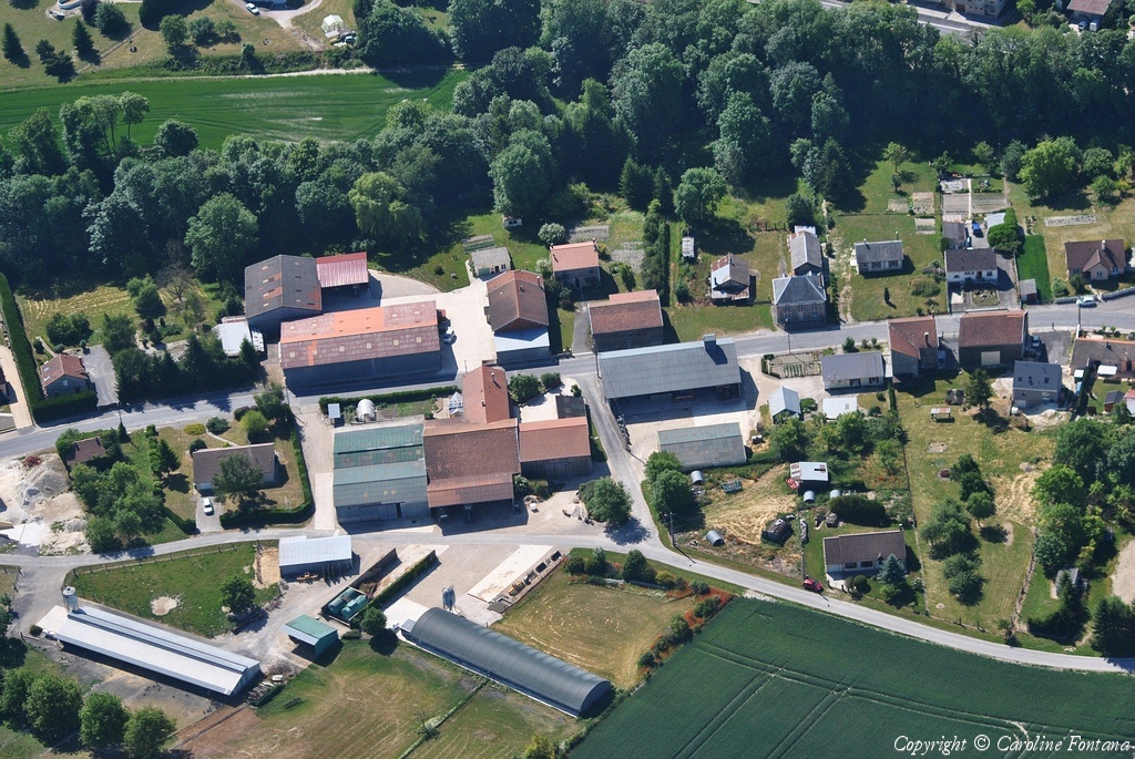
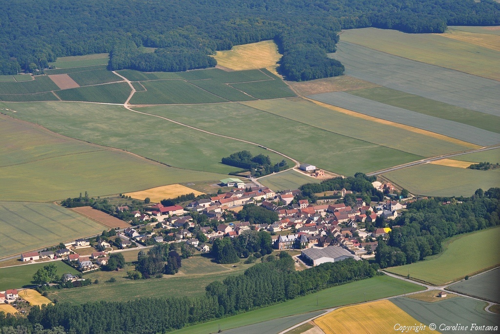
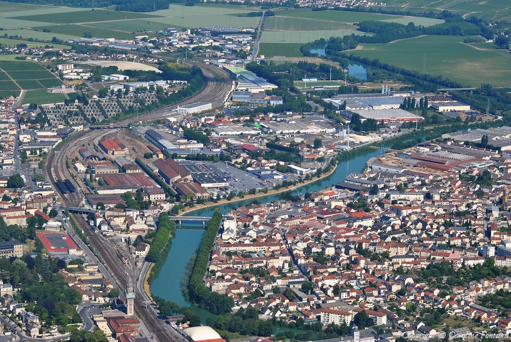
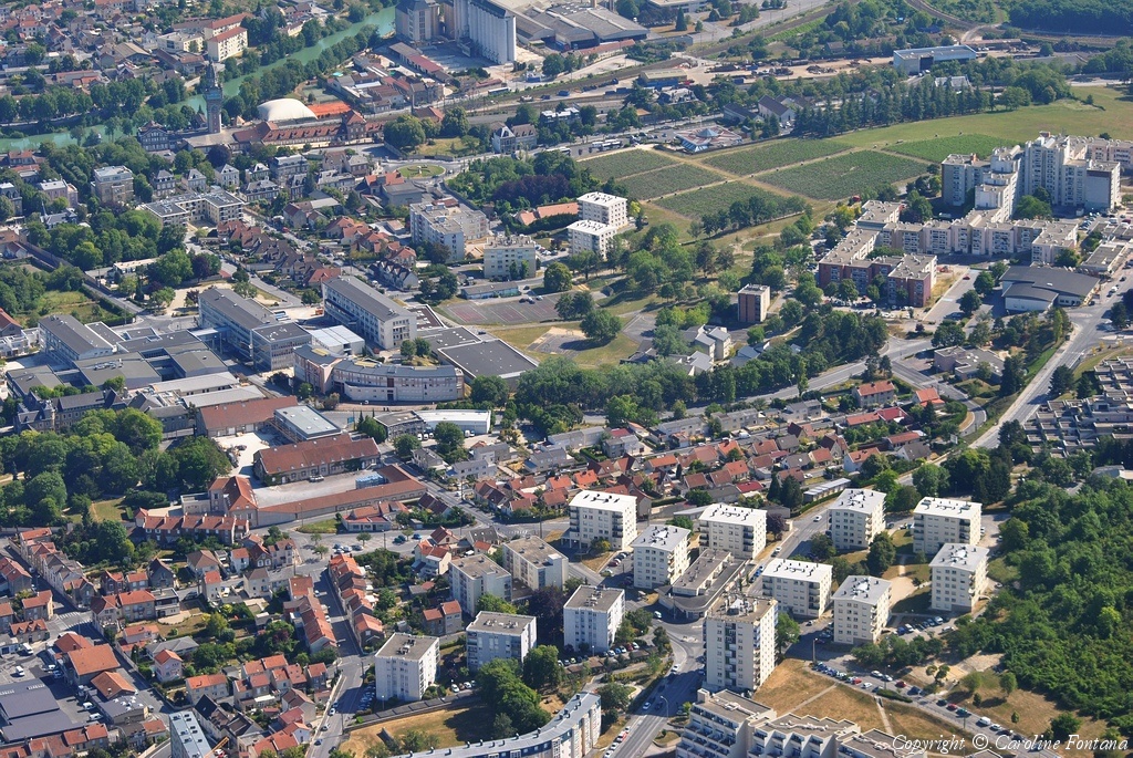
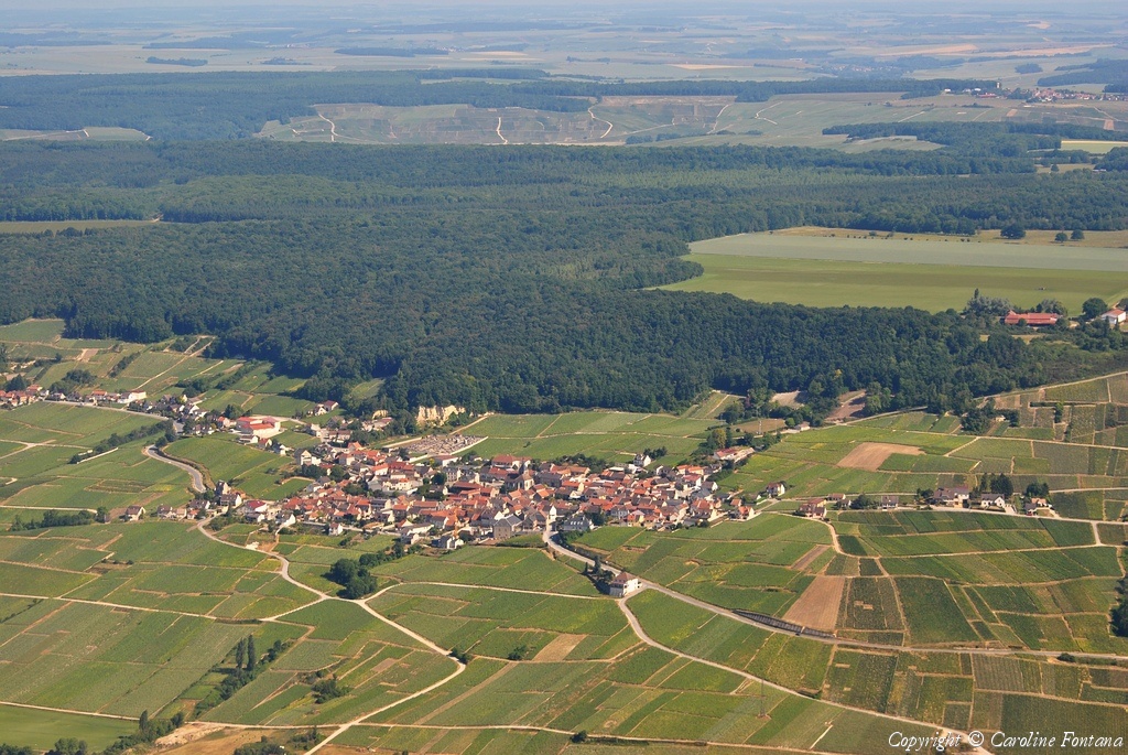
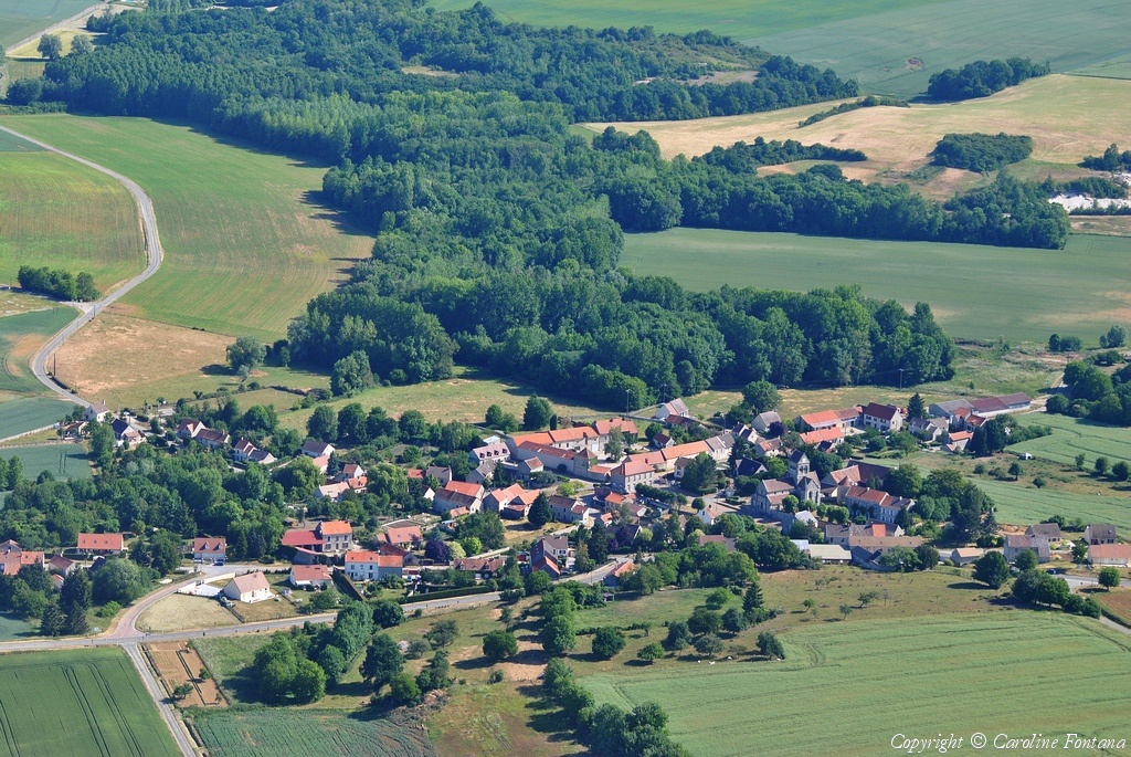
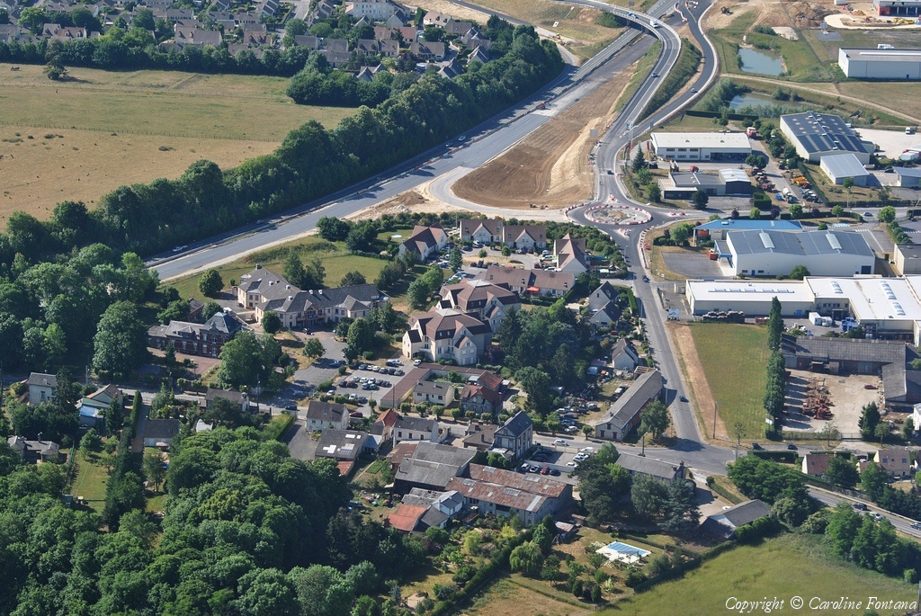
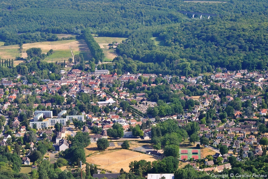
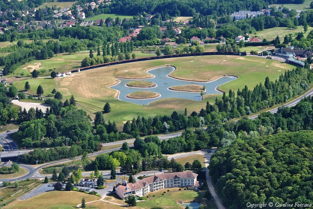
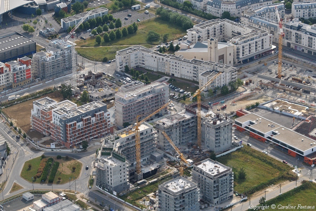
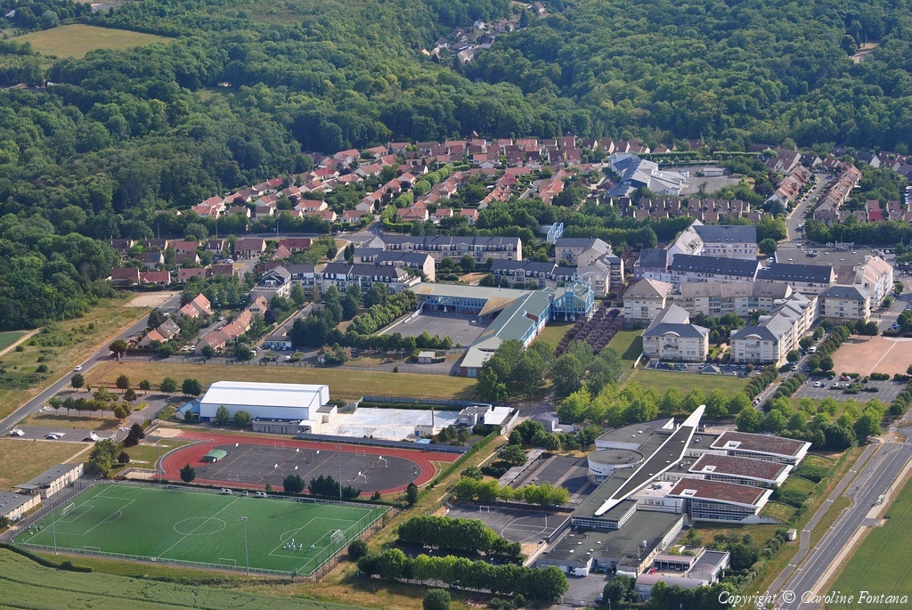
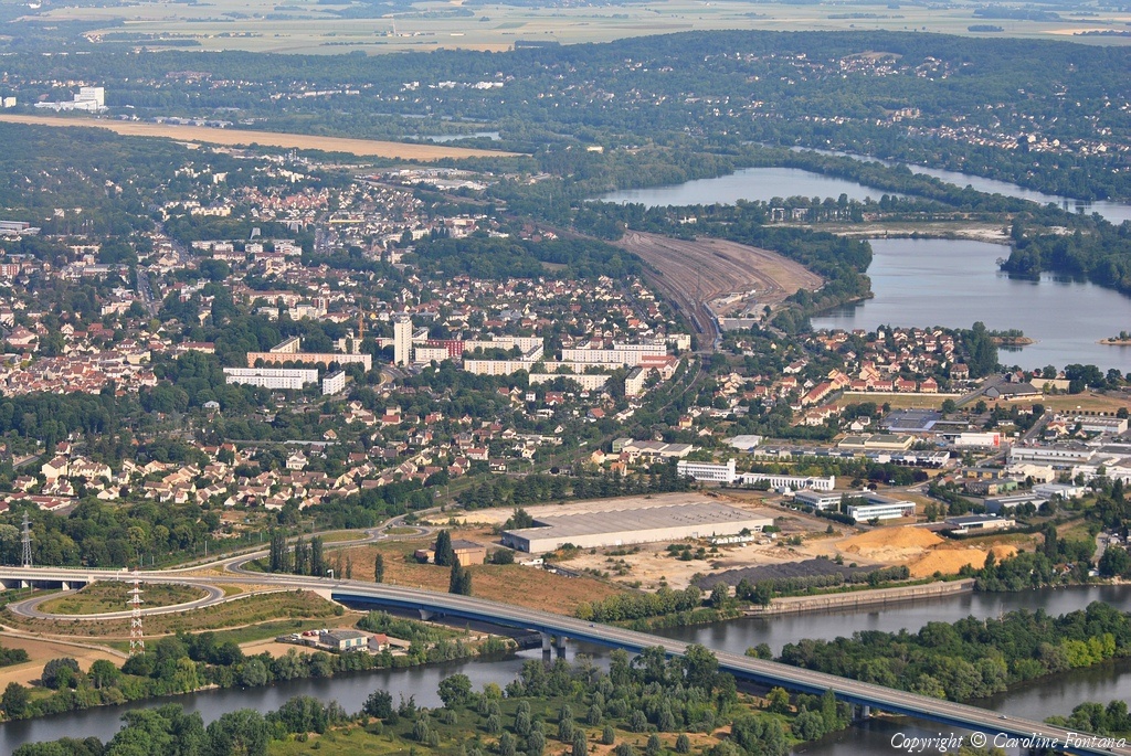
Pays :
France
Département :
Yvelines (78)
Lieu :
Coignières
Coord. GPS :
48 45 32 N 01 55 44 E
Photographe :
Caroline Fontana
Prise le :
29/05/2011
Vue 2196 fois (
0.51 fois/jour
)
Affiner la recherche
-
Situer sur la carte
1
2
3
4
5
6
7
8
9
10
Page suivante
Dernière page
Droits réservés - Copyright ©
Survol de France
Site en ligne depuis le 28 octobre 2004
330 visiteurs en ligne
-
1652 visiteurs aujourd'hui
Information sur la confidentialité
-
Mentions légales
Mesure d'audience ROI frequentation par


