Vous devez activer Javascript pour pouvoir afficher correctement cette page !
Accueil / Recherche
|
Les photos en France
|
Les photos des autres pays
|
Envoyer vos photos
|
Le TOP 20
Conditions d'utilisation
|
Google Maps
|
Formulaire de contact
|
Nouvelles photos ajoutées
|
Newsletter
Publicité :
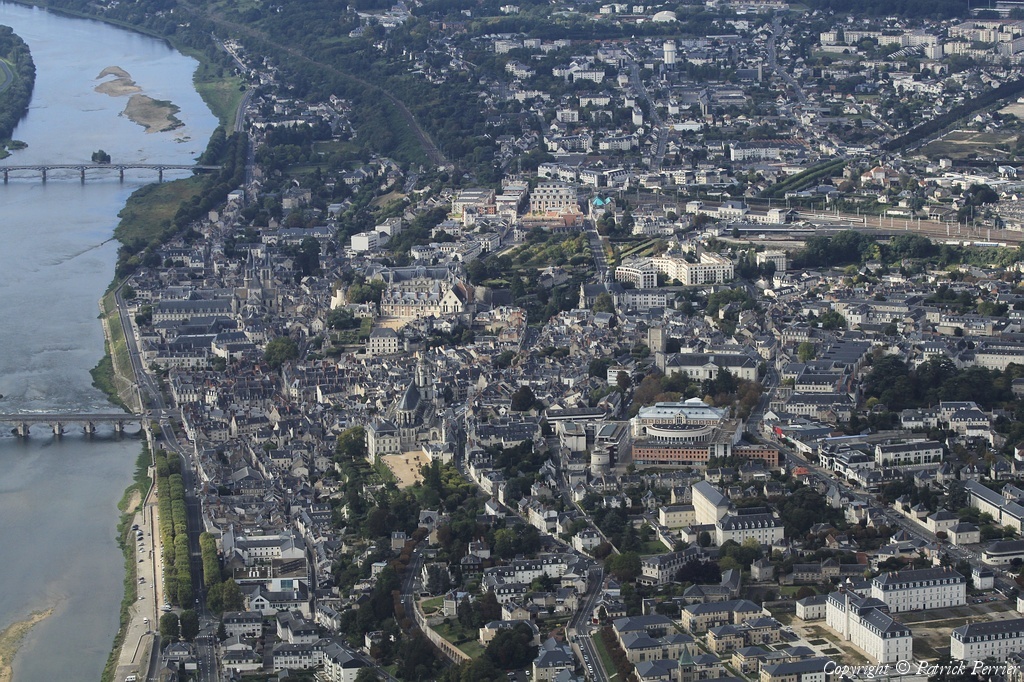
Nombre de photo(s) :
32
Lancer le
diaporama
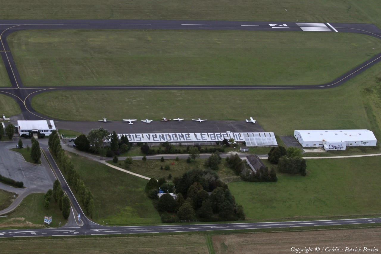
Pays :
France
Département :
Loir-et-Cher (41)
Lieu :
Blois
Coord. GPS :
47 40 46 N 01 12 20 E
Photographe :
Patrick Perrier
Prise le :
26/09/2010
Vue 430 fois (
0.69 fois/jour
)
Affiner la recherche
-
Situer sur la carte
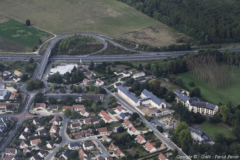
Pays :
France
Département :
Loir-et-Cher (41)
Lieu :
Vineuil
Coord. GPS :
47 34 52 N 01 22 30 E
Photographe :
Patrick Perrier
Prise le :
26/09/2010
Vue 2032 fois (
0.58 fois/jour
)
Affiner la recherche
-
Situer sur la carte
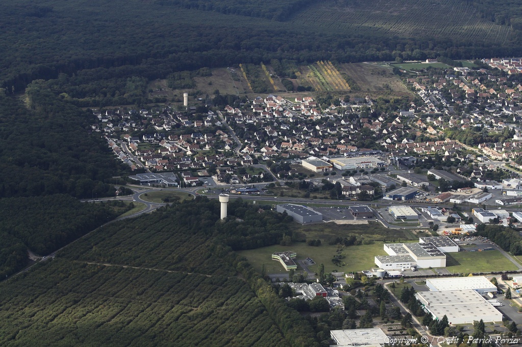
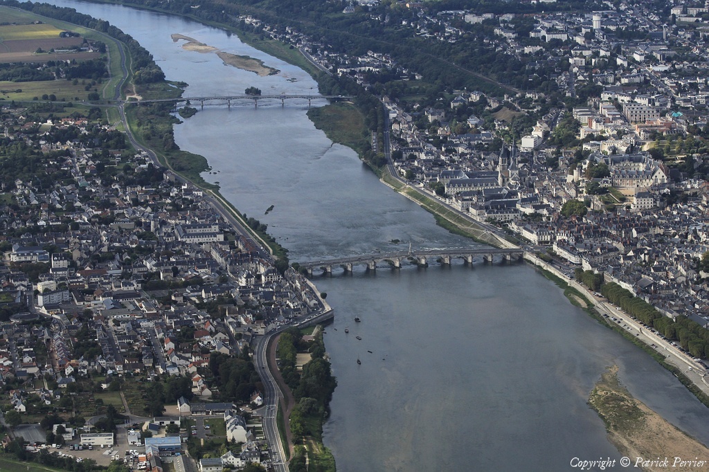
Pays :
France
Département :
Loir-et-Cher (41)
Lieu :
Saint-Gervais-la-Forêt
Coord. GPS :
47 33 47 N 01 22 07 E
Photographe :
Patrick Perrier
Prise le :
26/09/2010
Vue 1999 fois (
0.57 fois/jour
)
Affiner la recherche
-
Situer sur la carte
Pays :
France
Département :
Loir-et-Cher (41)
Lieu :
Lassay-sur-Croisne
Coord. GPS :
47 22 10 N 01 36 34 E
Photographe :
Patrick Perrier
Prise le :
26/09/2010
Vue 2252 fois (
0.61 fois/jour
)
Affiner la recherche
-
Situer sur la carte
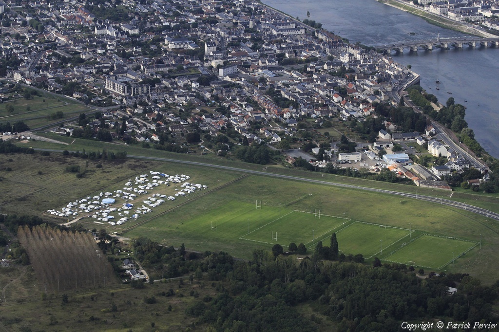
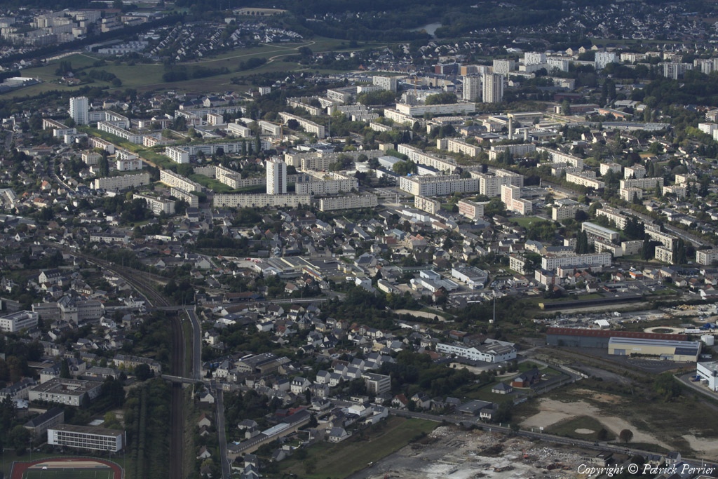
Pays :
France
Département :
Loir-et-Cher (41)
Lieu :
Blois
Coord. GPS :
47 36 26 N 01 18 50 E
Photographe :
Patrick Perrier
Prise le :
26/09/2010
Vue 2166 fois (
0.51 fois/jour
)
Affiner la recherche
-
Situer sur la carte
Pays :
France
Département :
Loir-et-Cher (41)
Lieu :
Blois
Coord. GPS :
47 36 33 N 01 18 29 E
Photographe :
Patrick Perrier
Prise le :
26/09/2010
Vue 1750 fois (
0.41 fois/jour
)
Affiner la recherche
-
Situer sur la carte
Pays :
France
Département :
Loir-et-Cher (41)
Lieu :
Blois
Coord. GPS :
47 36 48 N 01 18 25 E
Photographe :
Patrick Perrier
Prise le :
26/09/2010
Vue 1634 fois (
0.39 fois/jour
)
Affiner la recherche
-
Situer sur la carte
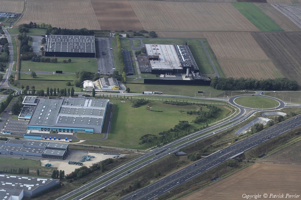
Pays :
France
Département :
Loir-et-Cher (41)
Lieu :
Villebarou
Coord. GPS :
47 37 12 N 01 17 59 E
Photographe :
Patrick Perrier
Prise le :
26/09/2010
Vue 1855 fois (
0.44 fois/jour
)
Affiner la recherche
-
Situer sur la carte
Pays :
France
Département :
Loir-et-Cher (41)
Lieu :
Blois
Coord. GPS :
Non disponible
Photographe :
Patrick Perrier
Prise le :
26/09/2010
Vue 1734 fois (
0.37 fois/jour
)
Affiner la recherche
Pays :
France
Département :
Loir-et-Cher (41)
Lieu :
Blois
Coord. GPS :
47 35 06 N 01 20 15 E
Photographe :
Patrick Perrier
Prise le :
26/09/2010
Vue 2097 fois (
0.44 fois/jour
)
Affiner la recherche
-
Situer sur la carte
Pays :
France
Département :
Loir-et-Cher (41)
Lieu :
Blois
Coord. GPS :
Non disponible
Photographe :
Patrick Perrier
Prise le :
26/09/2010
Vue 1813 fois (
0.38 fois/jour
)
Affiner la recherche
Pays :
France
Département :
Loir-et-Cher (41)
Lieu :
Saint-Loup-sur-Cher
Coord. GPS :
47 15 51 N 01 50 18 E
Photographe :
Patrick Perrier
Prise le :
26/09/2010
Vue 2291 fois (
0.48 fois/jour
)
Affiner la recherche
-
Situer sur la carte
Pays :
France
Département :
Loir-et-Cher (41)
Lieu :
Saint-Bohaire
Coord. GPS :
47 38 44 N 01 15 54 E
Photographe :
Patrick Perrier
Prise le :
26/09/2010
Vue 2497 fois (
0.53 fois/jour
)
Affiner la recherche
-
Situer sur la carte
Pays :
France
Département :
Loir-et-Cher (41)
Lieu :
La Chaussée-Saint-Victor
Coord. GPS :
47 36 39 N 01 20 41 E
Photographe :
Patrick Perrier
Prise le :
26/09/2010
Vue 1867 fois (
0.39 fois/jour
)
Affiner la recherche
-
Situer sur la carte
Pays :
France
Département :
Loir-et-Cher (41)
Lieu :
Vineuil
Coord. GPS :
47 34 52 N 01 22 30 E
Photographe :
Patrick Perrier
Prise le :
26/09/2010
Vue 2302 fois (
0.48 fois/jour
)
Affiner la recherche
-
Situer sur la carte
Pays :
France
Département :
Loir-et-Cher (41)
Lieu :
Vineuil
Coord. GPS :
47 34 52 N 01 22 30 E
Photographe :
Patrick Perrier
Prise le :
26/09/2010
Vue 2094 fois (
0.44 fois/jour
)
Affiner la recherche
-
Situer sur la carte
Pays :
France
Département :
Loir-et-Cher (41)
Lieu :
Vineuil
Coord. GPS :
47 34 52 N 01 22 30 E
Photographe :
Patrick Perrier
Prise le :
26/09/2010
Vue 2066 fois (
0.43 fois/jour
)
Affiner la recherche
-
Situer sur la carte
Pays :
France
Département :
Loir-et-Cher (41)
Lieu :
Romorantin-Lanthenay
Coord. GPS :
Non disponible
Photographe :
Patrick Perrier
Prise le :
26/09/2010
Vue 3340 fois (
0.68 fois/jour
)
Affiner la recherche
Pays :
France
Département :
Cher (18)
Lieu :
Saint-Florent-sur-Cher
Coord. GPS :
46 59 32 N 02 14 42 E
Photographe :
Patrick Perrier
Prise le :
26/09/2010
Vue 3360 fois (
0.68 fois/jour
)
Affiner la recherche
-
Situer sur la carte
Pays :
France
Département :
Loir-et-Cher (41)
Lieu :
Blois
Coord. GPS :
47 35 38 N 01 18 58 E
Photographe :
Patrick Perrier
Prise le :
26/09/2010
Vue 2109 fois (
0.43 fois/jour
)
Affiner la recherche
-
Situer sur la carte
1
2
Page suivante
Dernière page
Droits réservés - Copyright ©
Survol de France
Site en ligne depuis le 28 octobre 2004
493 visiteurs en ligne
-
1808 visiteurs aujourd'hui
Information sur la confidentialité
-
Mentions légales
Mesure d'audience ROI frequentation par


